The best mountain hikes in Aritzbach Wald
4.7
(458)
7,728
hikers
90
hikes
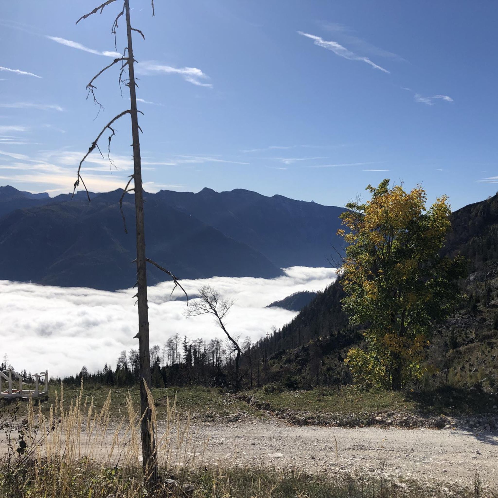
Mountaineering in Aritzbach Wald features a diverse landscape characterized by significant elevation changes, rocky trails, and alpine pastures. The region is home to prominent peaks like Großer Höllkogel, offering challenging ascents and panoramic views over areas such as Traunsee. Dense woodlands and water features, including the Alpenbrunn Water Fountain, are also integral parts of the terrain.
Best mountaineering routes in Aritzbach Wald
- The most popular mountaineering route is Alpenbrunn Water Fountain – Spitzlsteinalm loop from Ebensee Landungsplatz, a 7.7…
Last updated: July 15, 2026
4.5
(32)
405
hikers
12.4km
06:46
1,090m
1,090m
Hard mountaineering route. Very good fitness required. Sure-footedness, sturdy shoes and alpine experience required.
4.8
(8)
177
hikers
Hard mountaineering route. Good fitness required. Sure-footedness, sturdy shoes and alpine experience required.

Sign up for free
4.8
(4)
127
hikers
Hard mountaineering route. Very good fitness required. Mostly accessible paths. Sure-footedness required.
4.4
(5)
91
hikers
Hard mountaineering route. Good fitness required. Sure-footedness, sturdy shoes and alpine experience required.
11
hikers
16.4km
08:04
1,210m
1,210m
Hard mountaineering route. Very good fitness required. Sure-footedness, sturdy shoes and alpine experience required.
Get access to more routes and recommendations from other explorers.
Sign up for free
Already have an account?
Our route recommendations are based on thousands of hikes, rides, and runs completed by other people on komoot.
Start today with a free account
Your next adventure awaits.
Login or Signup
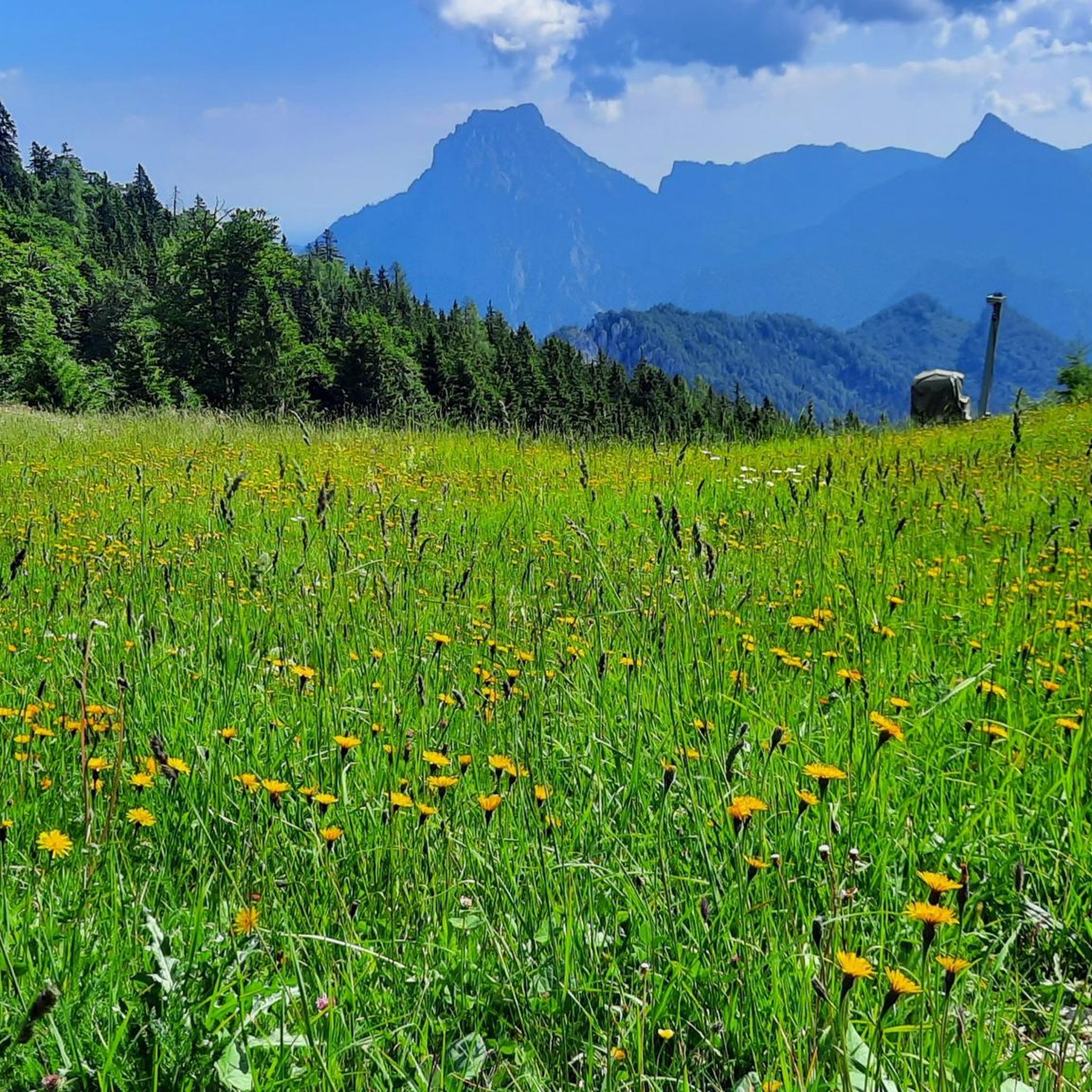
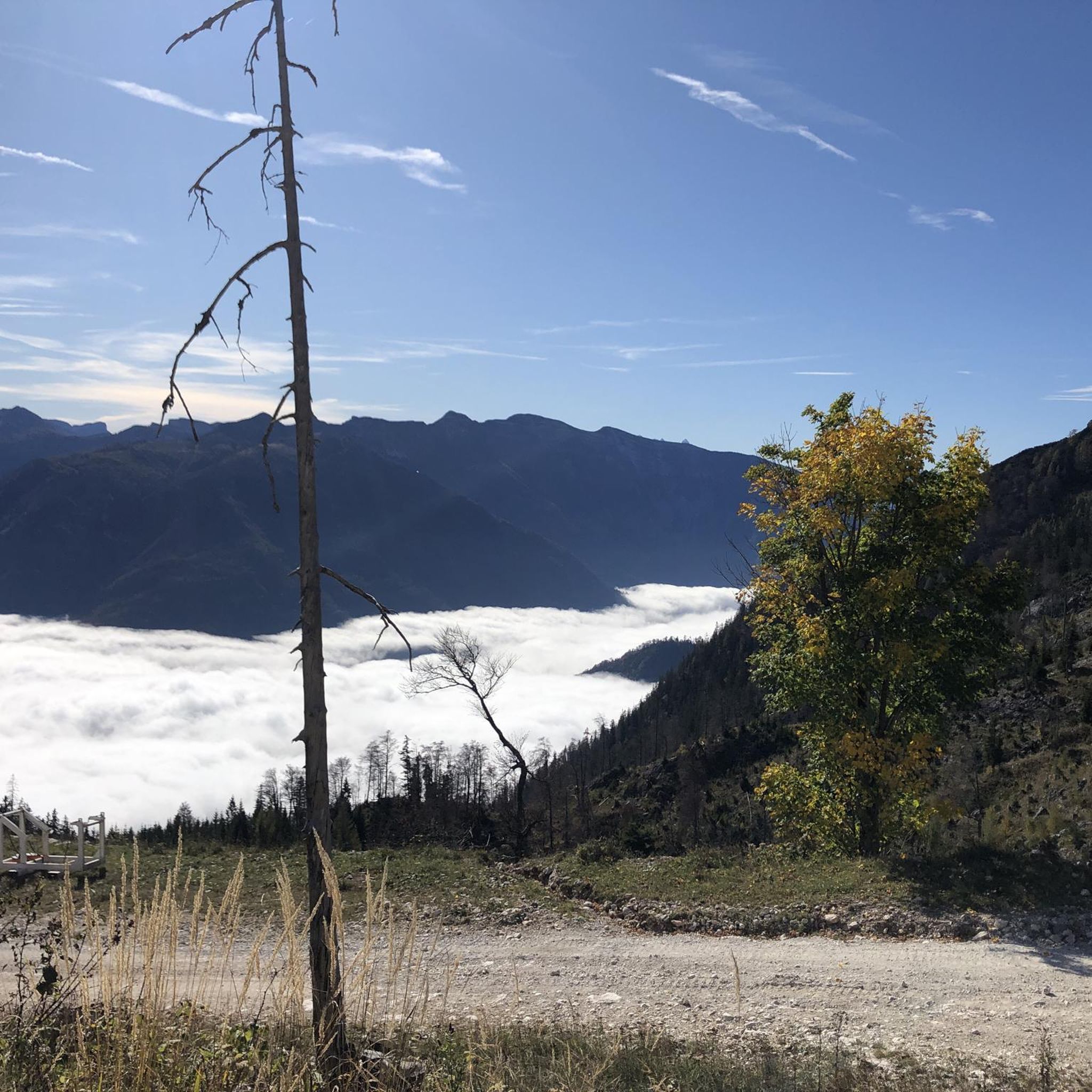
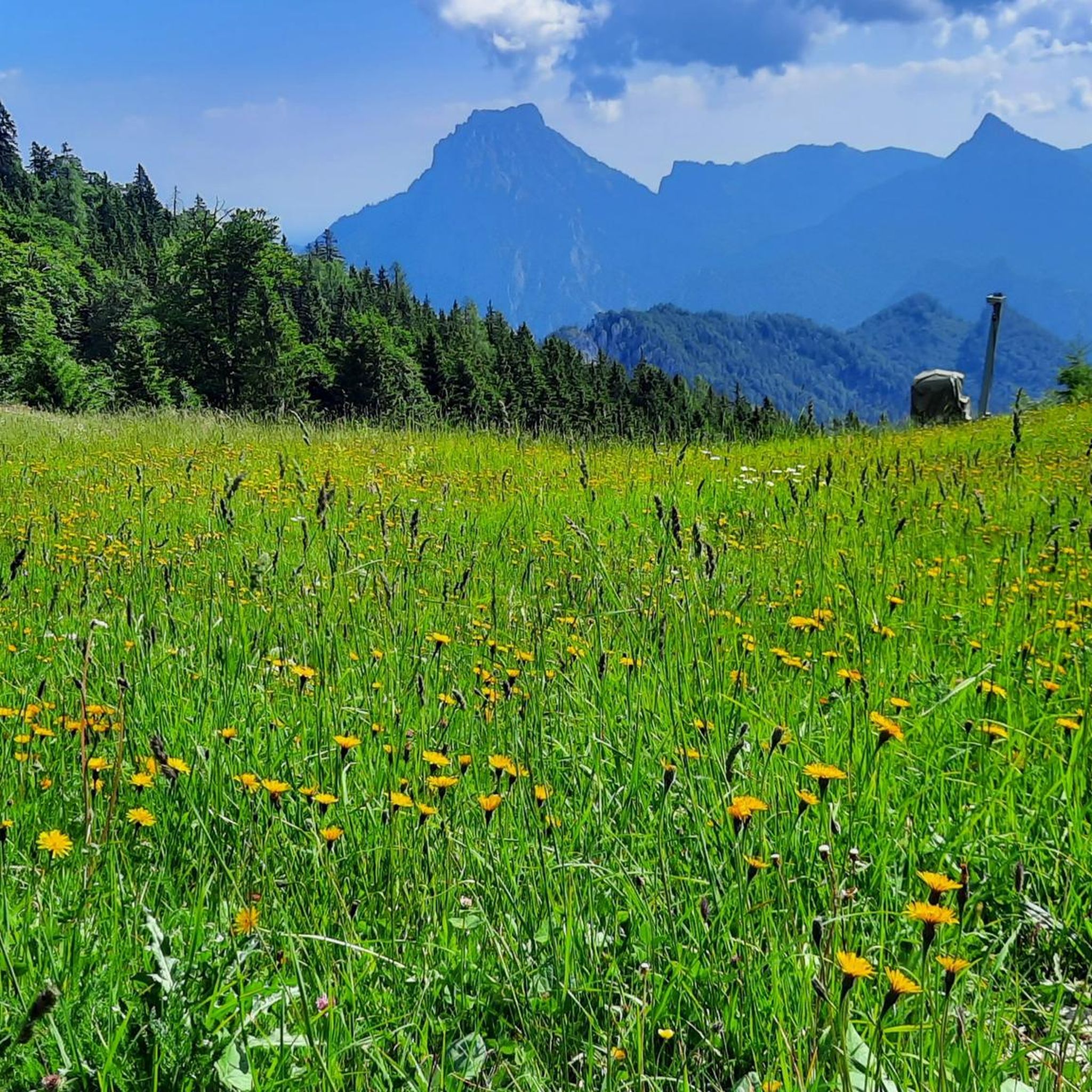
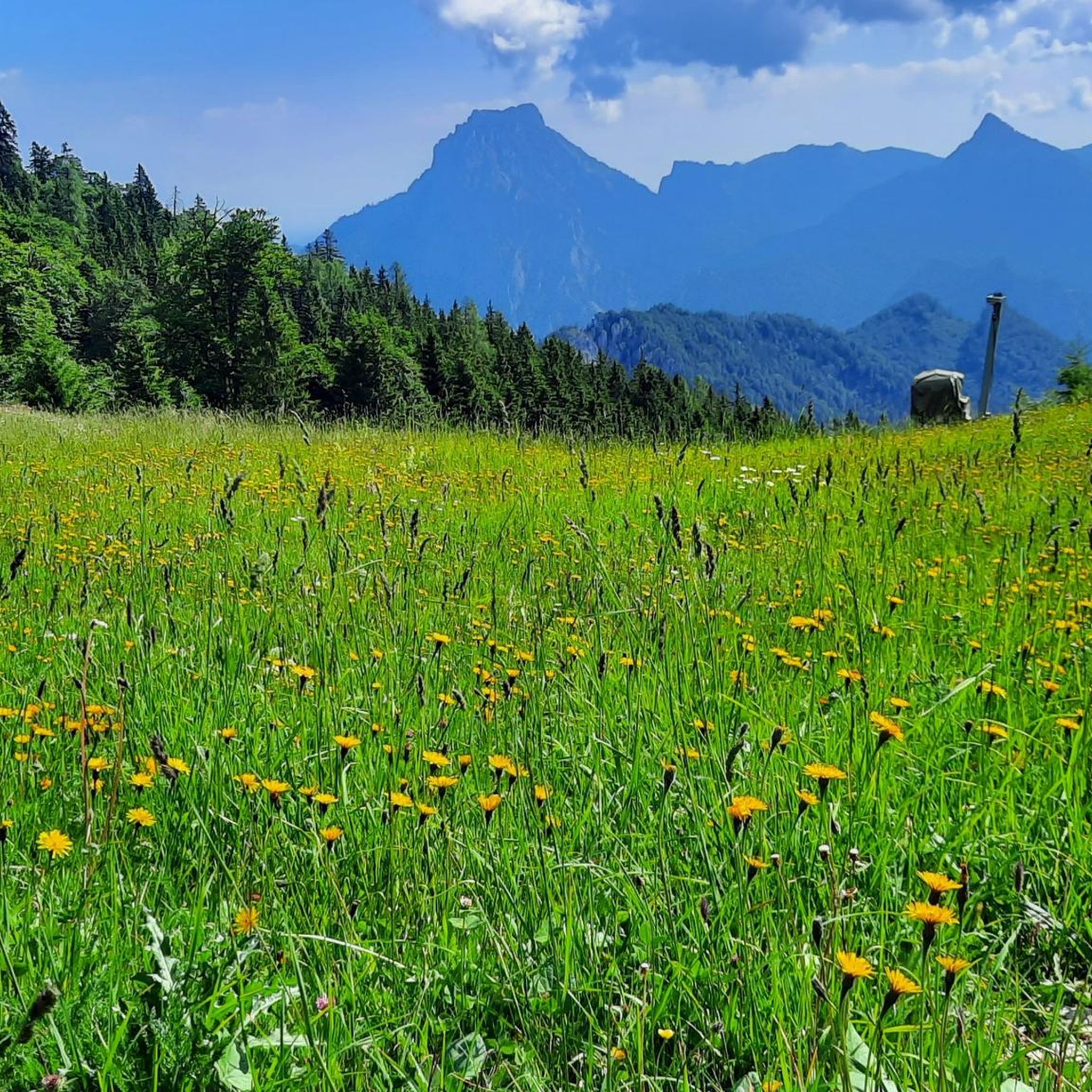

Tips from the Community

beautiful view from the lake to the Traunstein
0
0
beautiful view from the lake to the Traunstein
0
0
wunderschöner Blick zum Traunstein - der Wächter des Salzkammergutes!
0
0

Small hut about halfway to the summit
7
0
A scenic mountain offering a good view of the Traunstein and Traunsee, as well as the entire Totes Gebirge and Höllengebirge mountains.
5
0

Recommended in combination with the small Sonnstein, but not on its own, as the view is only possible from the very front at the edge and the view from the small Sonnstein is much nicer and there is more to see from there.
1
0
A breathtaking view of Lake Traunsee and the Traunstein.
2
0

Great view of Lake Traunsee and the surrounding mountains.
1
2
Frequently Asked Questions
What is the typical difficulty level of mountaineering routes in Aritzbach Wald?
Aritzbach Wald offers a wide range of mountaineering routes. While the majority are challenging, with 63 difficult routes, there are also 27 moderate and 3 easy options available. This means you can find trails suitable for various experience levels, from demanding ascents to more accessible paths.
Are there family-friendly mountaineering routes in Aritzbach Wald?
Yes, Aritzbach Wald does offer some easier mountaineering routes that could be suitable for families, particularly those with some hiking experience. With 3 easy routes and 27 moderate options, you can find paths that are less strenuous while still offering the region's beautiful scenery. Always check the specific route details for elevation gain and terrain before heading out with children.
What are the typical lengths and durations of mountaineering trails in Aritzbach Wald?
The mountaineering trails in Aritzbach Wald vary significantly in length and duration. For example, the difficult route Alpenbrunn Water Fountain – Spitzlsteinalm loop from Ebensee Landungsplatz is about 7.7 miles (12.4 km) and takes around 6 hours 45 minutes. Shorter, but still challenging, routes like the Rocky Trail – View of Traunsee loop from Ebensee Landungsplatz cover about 5.9 miles (9.5 km) and can be completed in roughly 4 hours 32 minutes.
Are there circular mountaineering routes available in Aritzbach Wald?
Yes, many of the mountaineering routes in Aritzbach Wald are designed as loops, allowing you to start and end at the same point. Examples include the popular Alpenbrunn Water Fountain – Spitzlsteinalm loop from Ebensee Landungsplatz and the challenging Katzenhaus Shelter loop from Ebensee Landungsplatz.
Which routes offer the best panoramic views in Aritzbach Wald?
For breathtaking panoramic views, consider routes that ascend to higher elevations or prominent viewpoints. The Kleiner Sonnstein summit cross – View of Traunsee loop from Ebensee Landungsplatz offers stunning vistas, particularly over Traunsee. Similarly, the Großer Höllkogel (1962 m) – Rocky Trail loop from Brandeck provides expansive views from one of the region's highest peaks.
What can I see along the mountaineering routes in Aritzbach Wald?
Beyond the natural beauty of the mountains, you can encounter various points of interest. Some routes pass by significant landmarks such as the Kalvarienberg Church (Ebensee) or the intriguing Katzenwoferl Hermitage. You might also find yourself near scenic paths like the Traun Riverside Path or the historic Soleweg (Offensee-Roith Avenue).
What do other mountaineers enjoy the most about mountaineering in Aritzbach Wald?
The komoot community highly rates mountaineering in Aritzbach Wald, with an average score of 4.7 stars from over 400 reviews. Mountaineers frequently praise the challenging ascents, the diverse terrain featuring rocky trails and alpine pastures, and the rewarding panoramic views, especially over Traunsee. The well-maintained paths and the sense of accomplishment after a demanding climb are also often highlighted.
When is the best time of year for mountaineering in Aritzbach Wald?
The prime season for mountaineering in Aritzbach Wald is typically from late spring to early autumn (May to October). During these months, the weather is generally more stable, trails are clear of snow at lower to mid-altitudes, and alpine flora is in bloom. Always check local weather forecasts and trail conditions before you go, especially for higher elevations.
Are there options for winter mountaineering in Aritzbach Wald?
While Aritzbach Wald offers stunning winter landscapes, mountaineering during this season requires specialized equipment and expertise due to snow, ice, and avalanche risks. Some lower-altitude trails might be accessible for winter hiking, but for true winter mountaineering, it's crucial to have appropriate gear, experience, and to consult local avalanche reports and guides.
Where can I find parking for mountaineering trailheads in Aritzbach Wald?
Many popular trailheads in Aritzbach Wald, especially those starting from towns like Ebensee Landungsplatz, offer designated parking areas. For specific routes, it's advisable to check the tour details on komoot, as parking information is often provided there. Some routes might also be accessible via public transport, reducing the need for parking.
Are there places to eat or drink near the mountaineering routes?
Yes, some mountaineering routes in Aritzbach Wald pass by mountain huts or alm (alpine pastures) where you can often find refreshments and traditional local food. For example, the Katzenhaus Shelter loop from Ebensee Landungsplatz includes a mountain shelter along its course. Additionally, towns at the base of the mountains, like Ebensee, offer various cafes and restaurants.
What essential gear should I pack for mountaineering in Aritzbach Wald?
For mountaineering in Aritzbach Wald, essential gear includes sturdy hiking boots with good ankle support, weather-appropriate clothing (layers are key), a backpack with sufficient water and snacks, a first-aid kit, a map and compass or GPS device, and sun protection. For more challenging or exposed routes, consider trekking poles. Always check the weather forecast before your trip.
Most popular routes in Aritzbach Wald
Most popular attractions in Aritzbach Wald

Get inspired with the komoot mobile app


Explore more
Browse the best Mountain Hikes & Routes in other regions.
