The best mountain hikes in Zimnitzwald
4.7
(298)
4,377
hikers
77
hikes
Mountaineering routes in Zimnitzwald offer challenging ascents through varied alpine terrain in the Salzkammergut region. The area is characterized by dense forests, prominent peaks like Gspranggupf, and panoramic views of the surrounding mountains, including the Dachstein. These routes often feature significant elevation gain and lead to exposed summits.
Best mountaineering routes in Zimnitzwald
- The most popular mountaineering route is View of Dachstein – Leonsberg Summit loop from Pfandl/Friedhof, a 6.9 miles (11.0 km) trail that takes 6 hours 30…
Last updated: July 15, 2026
4.8
(13)
136
hikers
11.0km
06:30
1,170m
1,170m
Hard mountaineering route. Very good fitness required. Sure-footedness, sturdy shoes and alpine experience required.
12
hikers
Hard mountaineering route. Very good fitness required. Sure-footedness, sturdy shoes and alpine experience required.

Sign up for free
2.0
(1)
7
hikers
13.9km
05:43
860m
860m
Hard mountaineering route. Very good fitness required. Mostly accessible paths. Sure-footedness required.
4
hikers
16.4km
08:13
1,370m
1,370m
Hard mountaineering route. Very good fitness required. Sure-footedness, sturdy shoes and alpine experience required.
4.8
(4)
128
hikers
10.6km
05:59
1,090m
1,090m
Hard mountaineering route. Very good fitness required. Sure-footedness, sturdy shoes and alpine experience required.
Get access to more routes and recommendations from other explorers.
Sign up for free
Already have an account?
Our route recommendations are based on thousands of hikes, rides, and runs completed by other people on komoot.
Start today with a free account
Your next adventure awaits.
Login or Signup
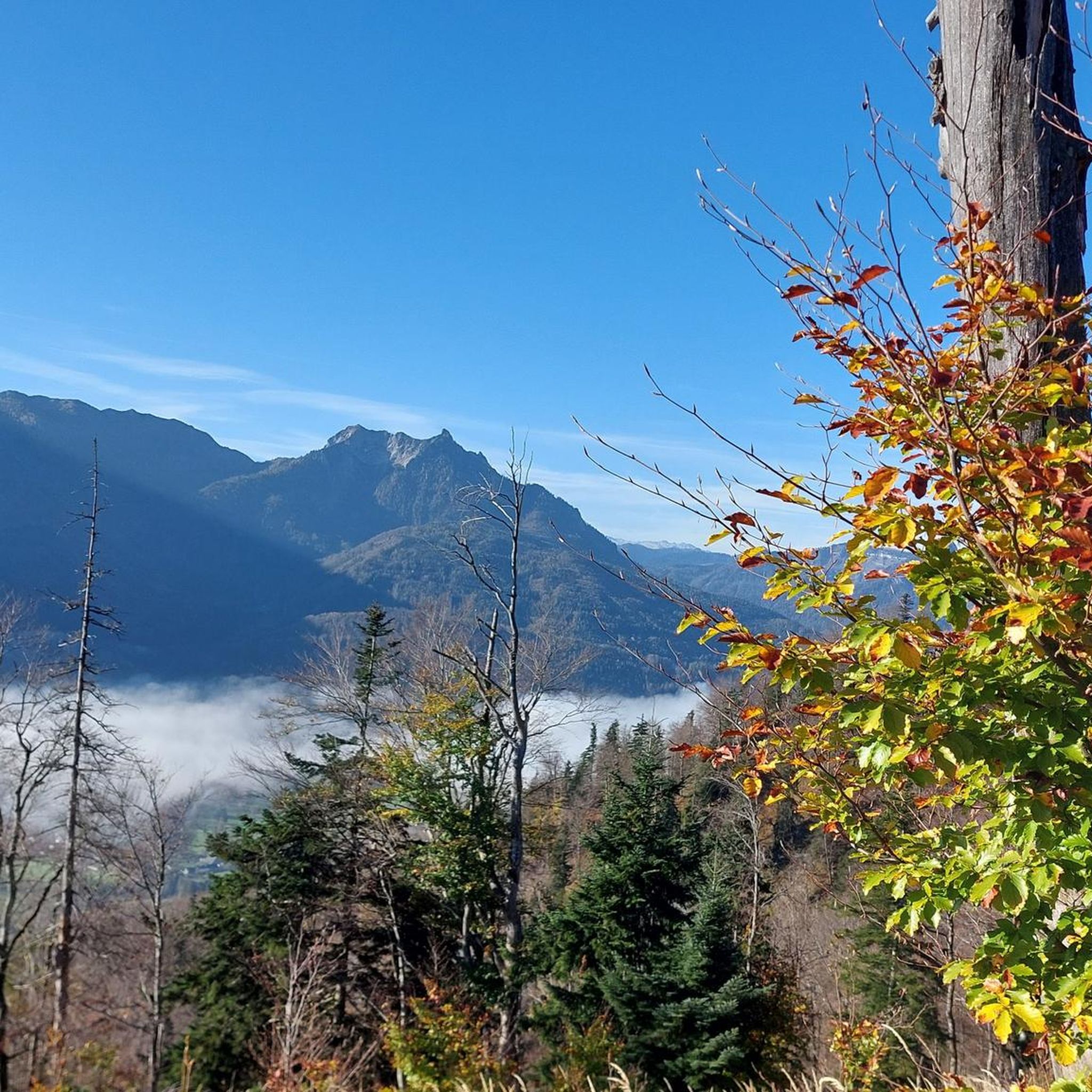
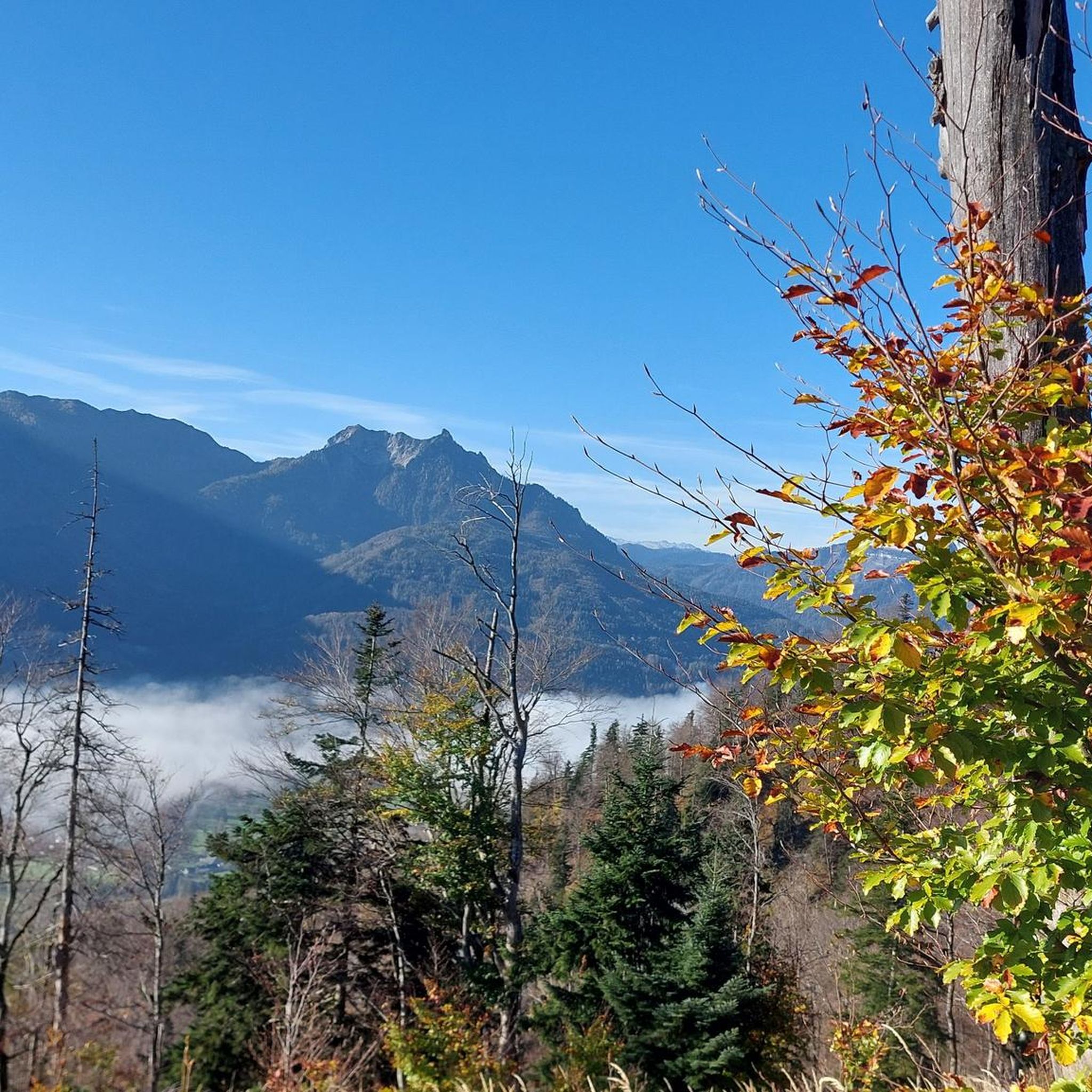
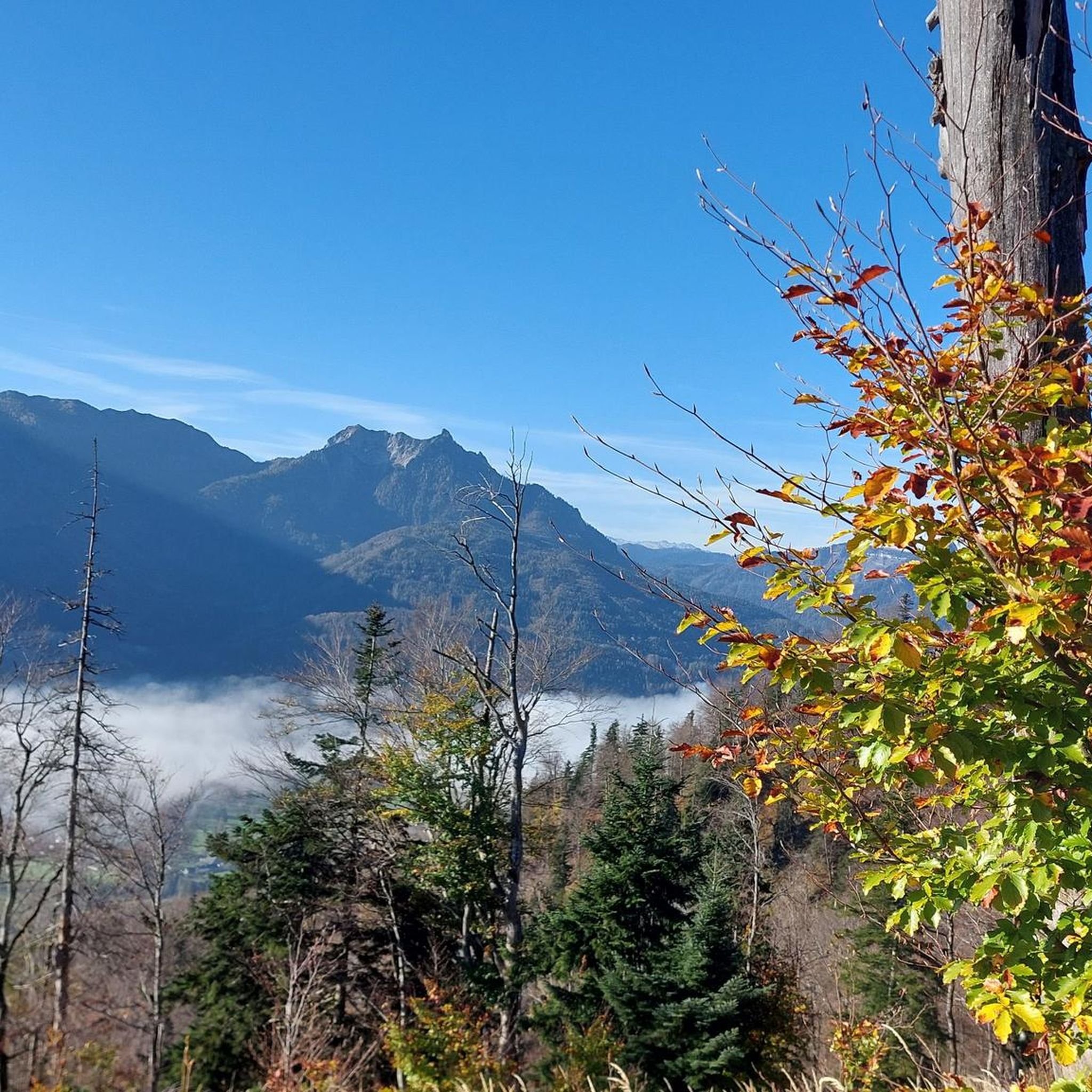
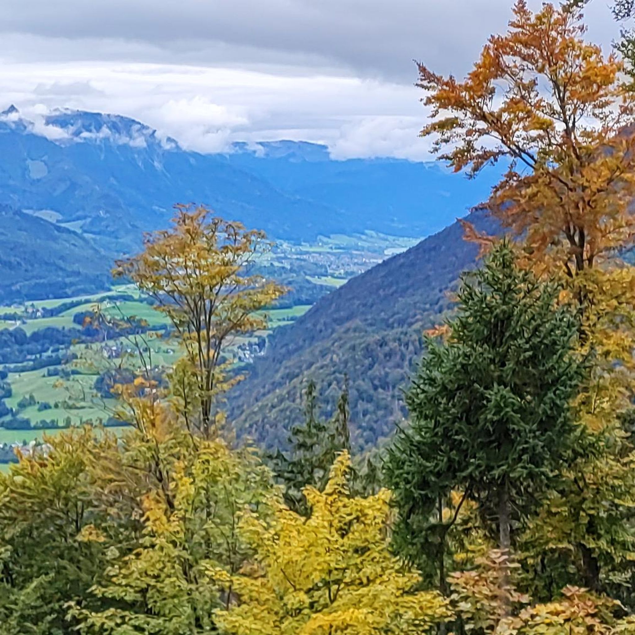
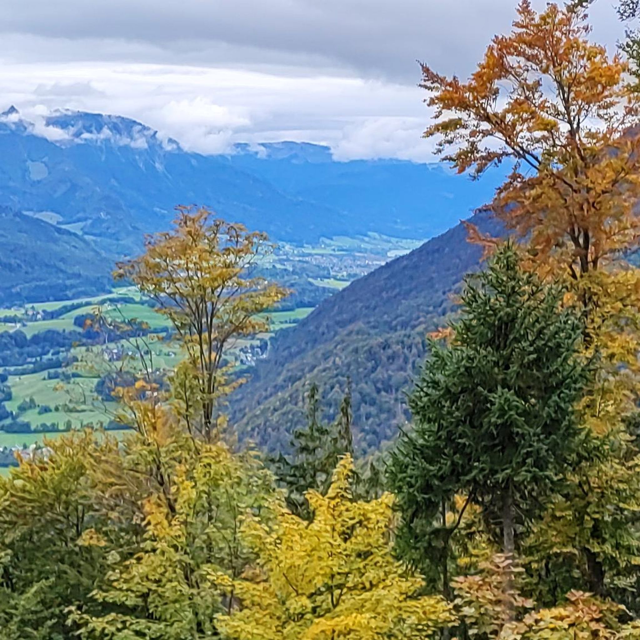
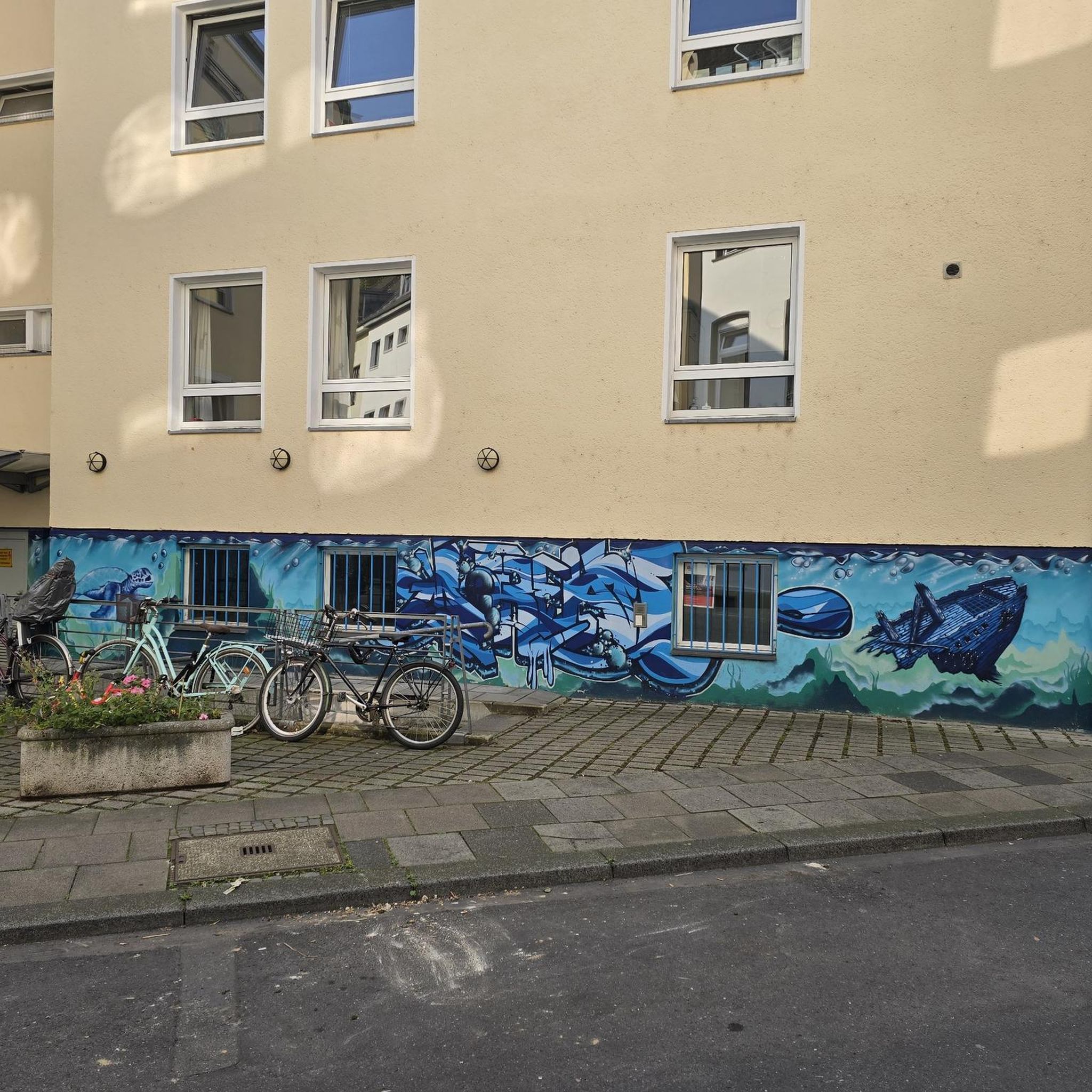
Tips from the Community

Beautiful views, great benches for a break. Perfect for a hiking snack.
0
0

A beautiful, scenic summit that's frequently visited (especially by cable car riders). The exit point for the Katrin via ferrata is also right next to the summit cross.
0
0

Beautiful swimming area with easy access.
4
0

Good selection of drinks. Food can sell out early. The path up looks like an old ski slope. In winter, be sure to wear crampons, spikes, or snowshoes from the last third of the way. Partly steep and slippery.
0
0

Pure nostalgia and great fun in itself; great views and beautifully restored grounds.
0
0

Rustic atmosphere and friendly service. Just the way we like it! And the soup after the hike tasted really good. And the beer too. 😁😁🍻 BTW: Read the information on the menu about the history of the alpine pasture. Very interesting.
2
0
We only realized after the tour that you can see the illuminated summit cross from Bad Ischl in the evening. A beautiful hike. Maybe you shouldn't do it in the midday heat like we did. 😱🤪 But that may also be why there weren't many hikers out and about. So it was actually a really good idea... 😉😅
1
0

Great summit with an incredible view. Attersee and Wolfgangsee in all their glory and you can also see the Mondsee. Bad Ischl is practically at your feet...it couldn't be more imperial!
6
0
Frequently Asked Questions
What is the general difficulty level of mountaineering routes in Zimnitzwald?
Mountaineering in Zimnitzwald is primarily characterized by difficult routes, making up the majority of the 81 available tours. These often involve significant elevation gain and exposed sections. There are also 24 moderate routes and a few easy options for those seeking less strenuous ascents.
Are there any easier mountaineering routes suitable for beginners or families in Zimnitzwald?
While most routes are challenging, Zimnitzwald does offer a few easier mountaineering options. There are 2 routes classified as easy, which could be suitable for beginners or families looking for a less demanding experience. These routes still offer the beauty of the alpine landscape without the extreme technical demands of the more difficult ascents.
What is the typical length and duration of mountaineering routes in Zimnitzwald?
The routes in Zimnitzwald vary significantly in length and duration. For example, the difficult Mountaineering loop from Maria an der Straße is about 4.5 miles (7.3 km) and takes around 4 hours 14 minutes. Longer routes, such as the View of Dachstein – Leonsberg Summit loop from Bad Ischl, can extend to 10.2 miles (16.4 km) and take over 8 hours to complete, offering extensive ascents and panoramic views.
When is the best time of year to go mountaineering in Zimnitzwald?
The prime season for mountaineering in Zimnitzwald is typically from late spring through early autumn (May to October). During these months, trails are generally free of snow, and weather conditions are more stable, offering the best visibility for panoramic views. Always check local weather forecasts before heading out, as alpine conditions can change rapidly.
Is winter mountaineering possible in Zimnitzwald?
Winter mountaineering in Zimnitzwald is possible but requires significant experience, proper equipment (such as snowshoes, crampons, and ice axes), and an understanding of avalanche safety. Many routes become considerably more challenging and potentially hazardous due to snow, ice, and shorter daylight hours. It's advisable to consult local guides or experienced mountaineers for winter conditions.
Are there any circular mountaineering routes in Zimnitzwald?
Yes, many of the mountaineering routes in Zimnitzwald are designed as circular loops, allowing you to start and end at the same point. A popular example is the Gspranggupf 1368 m – Saiherbachalm loop from Pfandl/Friedhof, which is 8.8 miles (14.1 km) long and takes you through alpine meadows and past the Gspranggupf peak.
Where can I find parking for mountaineering routes in Zimnitzwald?
Many routes in Zimnitzwald start from accessible locations with parking facilities. Common starting points include Pfandl/Friedhof, Maria an der Straße, and Bad Ischl. For instance, the View of Dachstein – Leonsberg Summit loop from Pfandl/Friedhof begins from a location that typically offers parking options for hikers.
What do other mountaineers enjoy most about Zimnitzwald?
The komoot community highly rates the mountaineering routes in Zimnitzwald, with an average score of 4.7 stars from over 300 reviews. Reviewers often praise the challenging ascents, the dense woodlands, and especially the panoramic summit views, including glimpses of the Dachstein. The varied alpine terrain and the sense of accomplishment from reaching exposed peaks are frequently highlighted.
Are there any specific peaks or landmarks to look out for on the routes?
Yes, Zimnitzwald features prominent peaks and scenic points. The Gspranggupf is a notable peak, often included in routes like the Gspranggupf 1368 m – Saiherbachalm loop from Pfandl/Friedhof. The Leonsberg Summit is another key destination, offering extensive views, as seen on the View of Dachstein – Leonsberg Summit loop from Pfandl/Friedhof.
Are there any routes that offer views of the Dachstein mountain range?
Absolutely. Several routes in Zimnitzwald provide stunning views of the majestic Dachstein mountain range. A prime example is the View of Dachstein – Leonsberg Summit loop from Pfandl/Friedhof, which is specifically highlighted for its extensive views from the Leonsberg summit, often including the Dachstein.
Are there opportunities for wild swimming or other water activities near the mountaineering routes?
While the mountaineering routes themselves focus on alpine ascents, the Zimnitzwald region is part of the Salzkammergut, an area renowned for its numerous lakes. While direct wild swimming spots on the routes might be limited, you'll find many beautiful lakes nearby, such as Lake Wolfgangsee or Lake Traunsee, which offer opportunities for swimming and other water activities after your hike.
Do I need a permit or special permission for mountaineering in Zimnitzwald?
Generally, no specific permits are required for day mountaineering trips on marked trails in Zimnitzwald. However, it's always good practice to respect local regulations, stay on marked paths, and be aware of any private land or protected areas. For specific activities like climbing or overnight stays in certain areas, additional permissions might be necessary, so it's best to check with local authorities if you plan anything beyond standard hiking.
Most popular routes in Zimnitzwald

Get inspired with the komoot mobile app


Explore more
Browse the best Mountain Hikes & Routes in other regions.
