The best walks and hikes in Kemeter Wald
4.4
(1134)
7,650
hikers
374
hikes
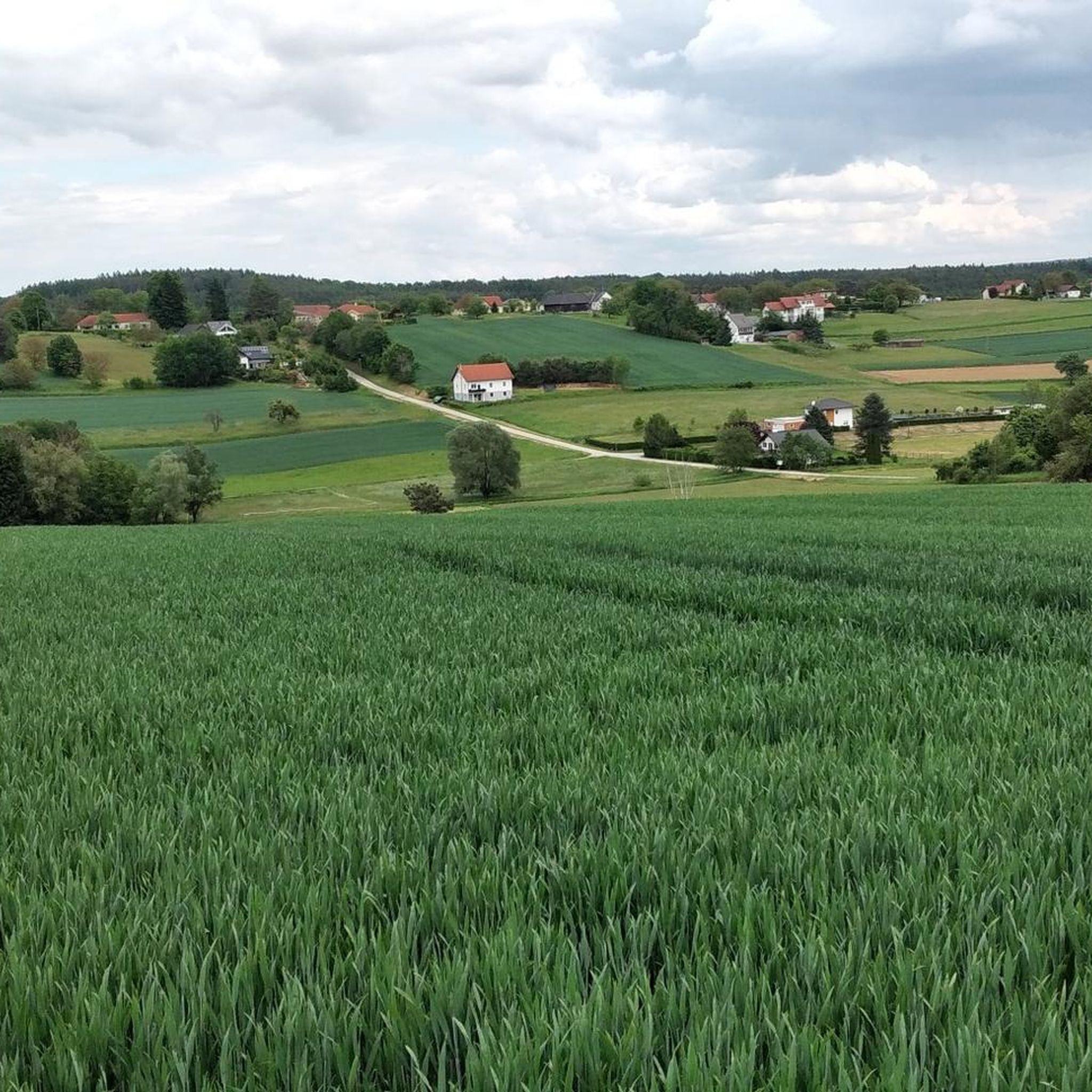
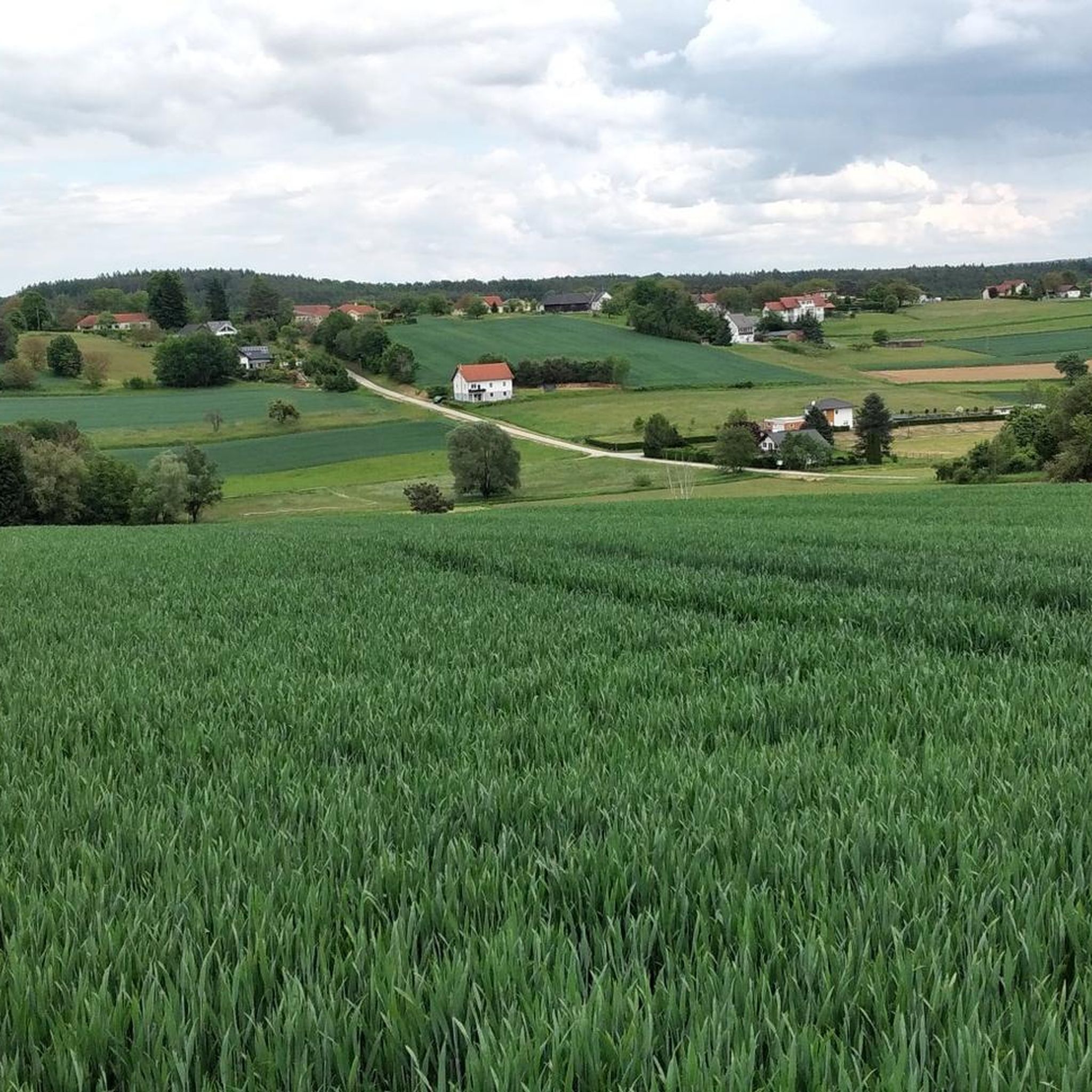
Hiking in Kemeter Wald, located in Oberallgäu, Germany, is defined by its diverse landscapes, including rolling hills and dense forests. The region features the valley of the lively Durach and offers panoramic heights, providing a varied terrain for outdoor activities. Extensive woodlands cover a significant portion of the area, creating a serene environment for exploration.
Best hiking trails in Kemeter Wald
- The most popular hiking route is Church of Wörterberg – Wörterberg Chapel loop from Wörterberg, a 5.2 miles…
Last updated: October 2, 2026
3.0
(1)
7
hikers
8.43km
02:16
100m
100m
Moderate hike. Good fitness required. Easily-accessible paths. Suitable for all skill levels.
5.0
(1)
6
hikers
Moderate hike. Good fitness required. Easily-accessible paths. Suitable for all skill levels.

5.0
(1)
6
hikers
7.07km
01:53
80m
80m
Easy hike. Great for any fitness level. Easily-accessible paths. Suitable for all skill levels.
6
hikers
7.38km
01:59
90m
90m
Easy hike. Great for any fitness level. Easily-accessible paths. Suitable for all skill levels.
5.0
(1)
2
hikers
8.51km
02:18
110m
110m
Moderate hike. Good fitness required. Easily-accessible paths. Suitable for all skill levels.
Get access to more routes and recommendations from other explorers.
Already have an account?
Our route recommendations are based on thousands of hikes, rides, and runs completed by other people on komoot.
Start today with a free account
Your next adventure awaits.

Tips from the Community

A beautiful chapel with a shady resting place.
0
0
This bench at the bus stop offers an opportunity for a rest.
0
0

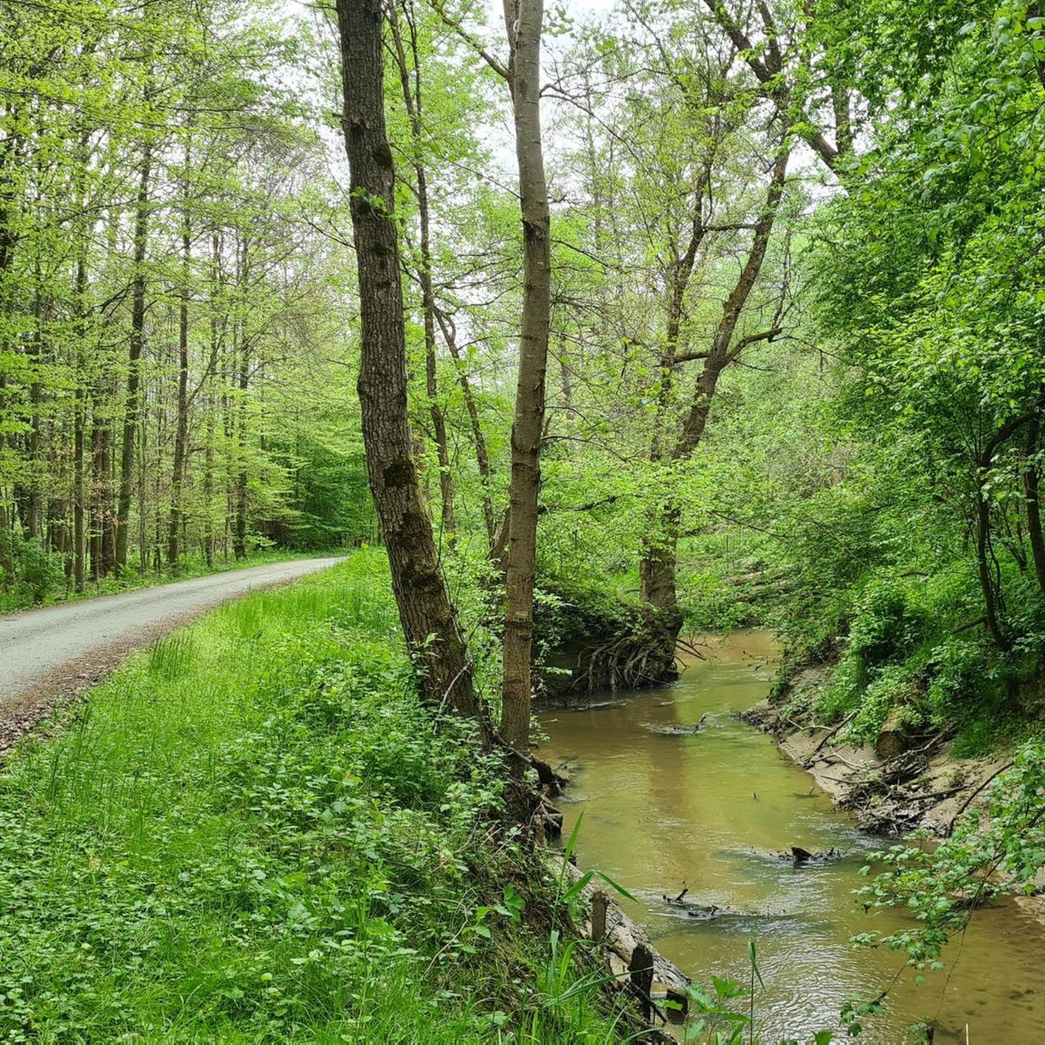
The unregulated course of the Lafnitz River, especially downstream from the Stögersbach confluence, represents a unique biotope in Central Europe. With its approximately 40 meanders, this section is the most intricately structured part of the entire river course, offering a multitude of habitats for both flora and fauna. The undisturbed flow dynamics are enhanced by heavy summer rainfall, which frequently leads to flooding. These floods promote the pronounced erosion of the banks, a phenomenon known in ecology as cut and point banks. An important aspect of this nature reserve is the breeding population of typical river bird species such as the little ringed plover (Charadrius dubius), the common sandpiper (Actitis hypoleucos), and the common kingfisher (Alcedo atthis), which depend on these specially shaped banks. In addition, the extensive unregulated sections of the Lafnitz, together with the Raab River, provide habitat for the endangered European otter (Lutra lutra). This species, which in Austria is mainly found in the waters of the Mühlviertel and Waldviertel regions as well as on the lower reaches of the Raab, Lafnitz and Feistritz rivers, benefits from an intact and diverse aquatic landscape, which is essential for its reproduction and foraging.
1
0

Beautiful wooden cross at a fork in the road.
0
0
Frequently Asked Questions
How many hiking trails are available in Kemeter Wald?
Kemeter Wald offers a wide variety of hiking opportunities, with nearly 400 routes recorded on komoot. These range from easy strolls through the woodlands to more challenging paths across rolling hills and panoramic heights.
What types of trails can I expect in Kemeter Wald?
The trails in Kemeter Wald are diverse, featuring dense forests, rolling hills, and scenic viewpoints. You'll find a mix of easy, moderate, and a few difficult routes. For example, the Summit cross loop from Kemeten is an easy option, while the Church of Wörterberg – Wörterberg Chapel loop from Wörterberg offers a moderate experience.
Are there any family-friendly hiking options in Kemeter Wald?
Yes, Kemeter Wald has many easy routes suitable for families. Over 220 of the trails are rated as easy, providing gentle paths through the forests and along the Durach valley, perfect for all ages to enjoy nature.
What interesting sights or landmarks can I discover while hiking in Kemeter Wald?
Beyond its natural beauty, Kemeter Wald features several points of interest. Hikers can explore an old hunting lodge with a forest chapel, observe local wildlife at the Dürrenbühl feeding area, or enjoy magnificent panoramic views of the Allgäu region from the Knollerhag viewpoint. A section of the historic Jakobsweg (St. James's Way) also runs through the area, adding a cultural dimension to your hike.
Are there any circular hiking routes in Kemeter Wald?
Yes, many of the trails in Kemeter Wald are circular, allowing you to start and end at the same point. Popular examples include the Wörtherberg Observation Tower – Lafnitztal Trail Junction loop from Wörterberg and the Church of Wörterberg – Wörterberg Chapel loop from Wörterberg.
What do other hikers say about the trails in Kemeter Wald?
The trails in Kemeter Wald are highly regarded by the komoot community, holding an average rating of 4.5 stars from nearly 1,000 reviews. Hikers often praise the serene environment of the extensive woodlands and the varied terrain that offers something for every ability level.
Can I bring my dog on the hiking trails in Kemeter Wald?
Kemeter Wald is generally a dog-friendly region, with its extensive forests and natural paths providing ample space for walks with your canine companion. However, it's always recommended to check specific trail regulations and keep your dog on a leash, especially near wildlife feeding areas or protected zones.
Are there any challenging hikes for experienced hikers?
While the majority of trails are easy to moderate, Kemeter Wald does offer a few more challenging routes for experienced hikers. There are 4 trails rated as difficult, which typically feature greater elevation changes and longer distances, providing a more strenuous experience amidst the region's diverse landscapes.
What is the best time of year to go hiking in Kemeter Wald?
Kemeter Wald is beautiful year-round. Spring brings lush greenery, while autumn offers vibrant foliage. Summer is ideal for longer hikes, and even in winter, the snow-covered forests provide a tranquil experience, though some paths might require appropriate gear.
Are there any routes that offer panoramic views?
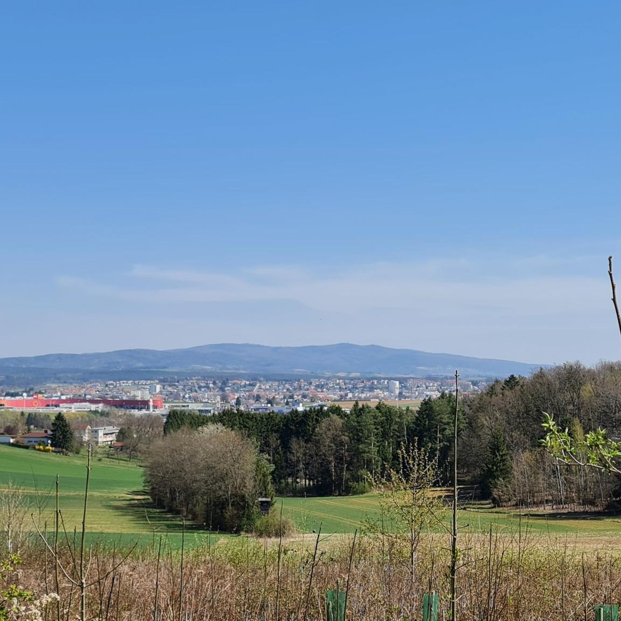
Yes, for breathtaking panoramic views, consider trails that lead to the Knollerhag viewpoint. This spot provides magnificent vistas of the entire Allgäu region, rewarding hikers with stunning scenery after their ascent.
How long do hikes in Kemeter Wald typically take?
Hike durations vary significantly depending on the route's length and difficulty. For example, the easy Summit cross loop from Kemeten can be completed in about 2 hours, while longer moderate routes like the Wanderhütte Picnic Area – Wörterberg Chapel loop from Wörterberg might take around 3 hours 15 minutes.
Is public transport available to access hiking trails in Kemeter Wald?
While specific public transport links directly to trailheads may vary, the Kemeter Wald region in Oberallgäu is generally accessible. It's advisable to check local bus schedules or regional train connections to nearby towns, from which you might be able to reach various starting points for hikes.
Most popular routes in Kemeter Wald
Most popular attractions in Kemeter Wald

Get inspired with the komoot mobile app


Explore more
Browse the best Hikes in other regions.
