The best walks and hikes in Brandwald
4.6
(1688)
11,432
hikers
106
hikes
Hiking in Brandwald, a beautiful forest region in Murtal, offers a diverse range of outdoor experiences. The area is characterized by extensive forested paths, leading to alpine landscapes with notable summits and tranquil lakes. Hikers can expect varied terrain, from gentle forest trails to more challenging ascents towards higher elevations.
Best hiking trails in Brandwald
- The most popular hiking route is St. Martiner Hut – Wildsee (Fuchskogel) loop from Rohrerhütte, a 9.0 miles (14.5 km) trail that takes 4…
Last updated: July 23, 2026
4.8
(6)
19
hikers
14.5km
04:43
590m
590m
Moderate hike. Good fitness required. Mostly accessible paths. Sure-footedness required.
20
hikers
7.03km
02:04
190m
180m
Moderate hike. Good fitness required. Easily-accessible paths. Suitable for all skill levels.

Sign up for free
4.9
(44)
342
hikers
18.4km
06:26
960m
960m
Hard hike. Very good fitness required. Mostly accessible paths. Sure-footedness required.
5.0
(2)
14
hikers
13.6km
03:55
330m
330m
Moderate hike. Good fitness required. Easily-accessible paths. Suitable for all skill levels.
14
hikers
22.9km
07:57
1,090m
1,090m
Hard hike. Very good fitness required. Mostly accessible paths. Sure-footedness required.
Get access to more routes and recommendations from other explorers.
Sign up for free
Already have an account?
Our route recommendations are based on thousands of hikes, rides, and runs completed by other people on komoot.
Start today with a free account
Your next adventure awaits.
Login or Signup
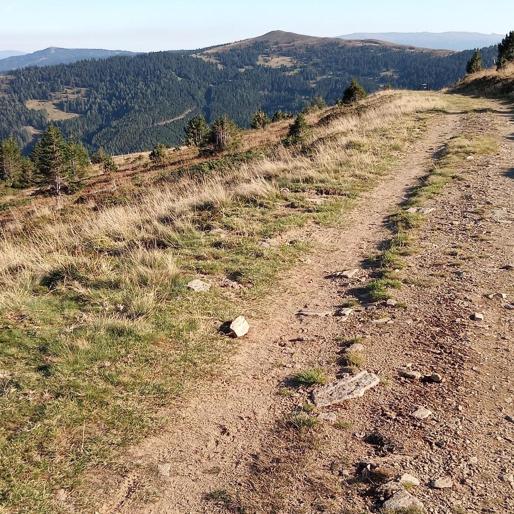
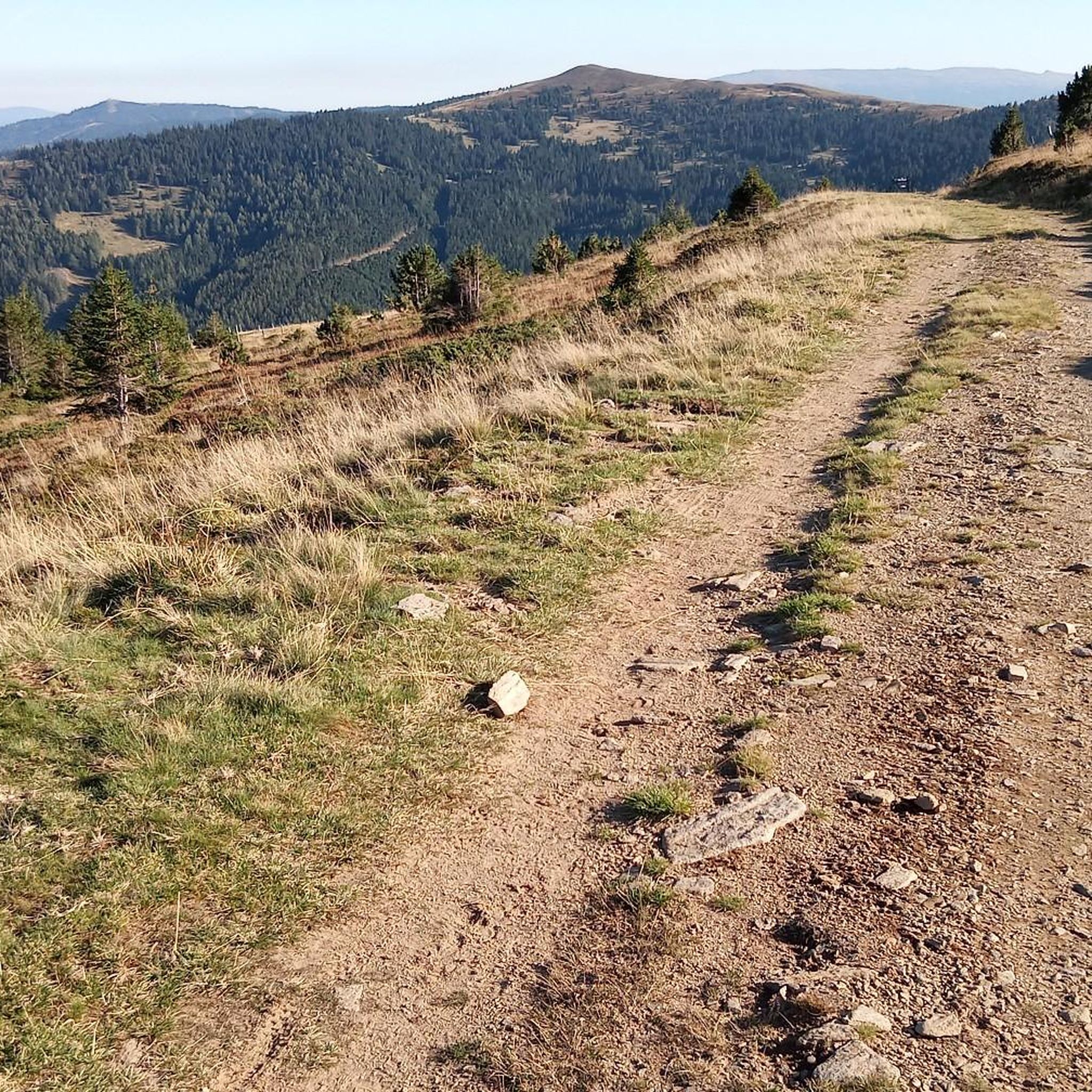
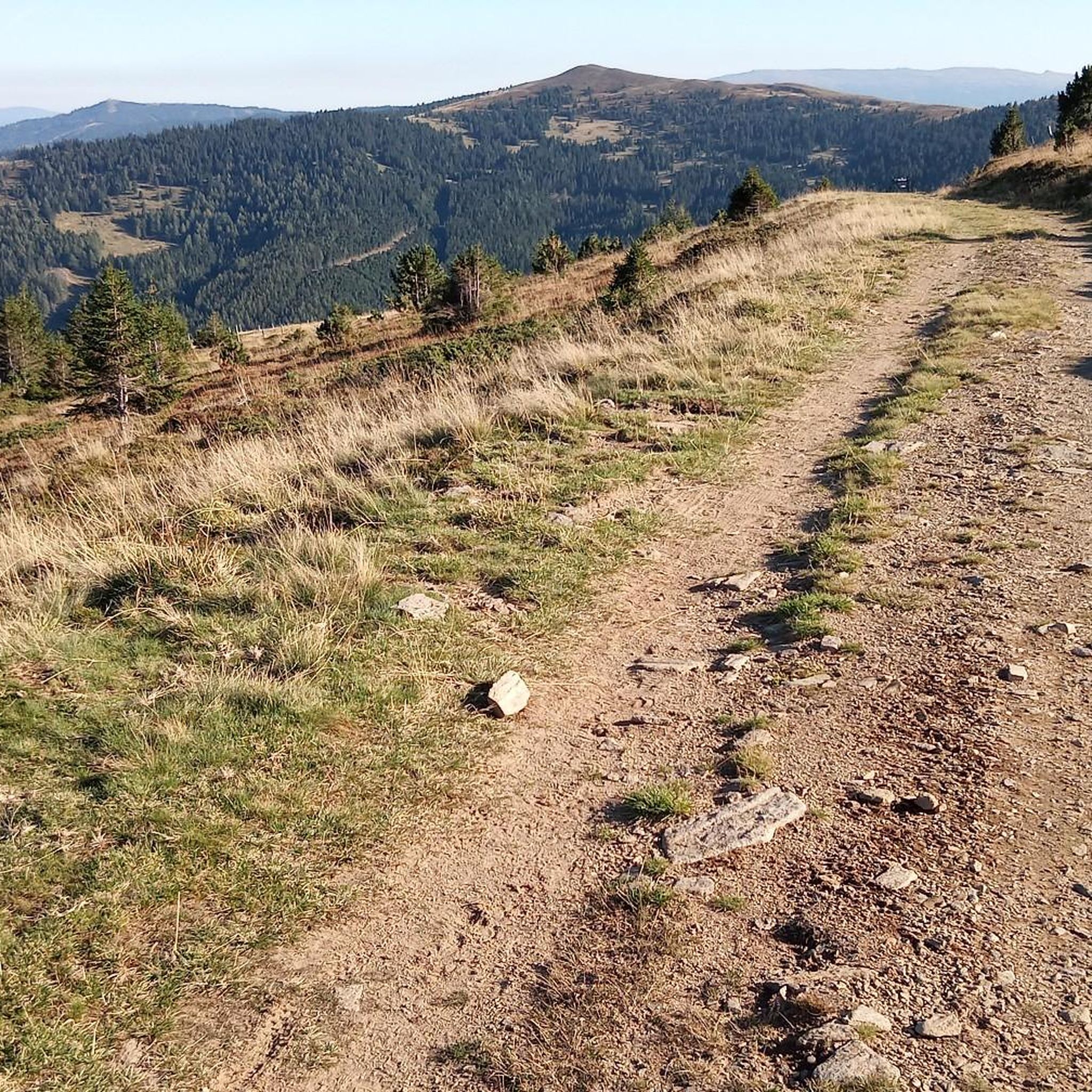
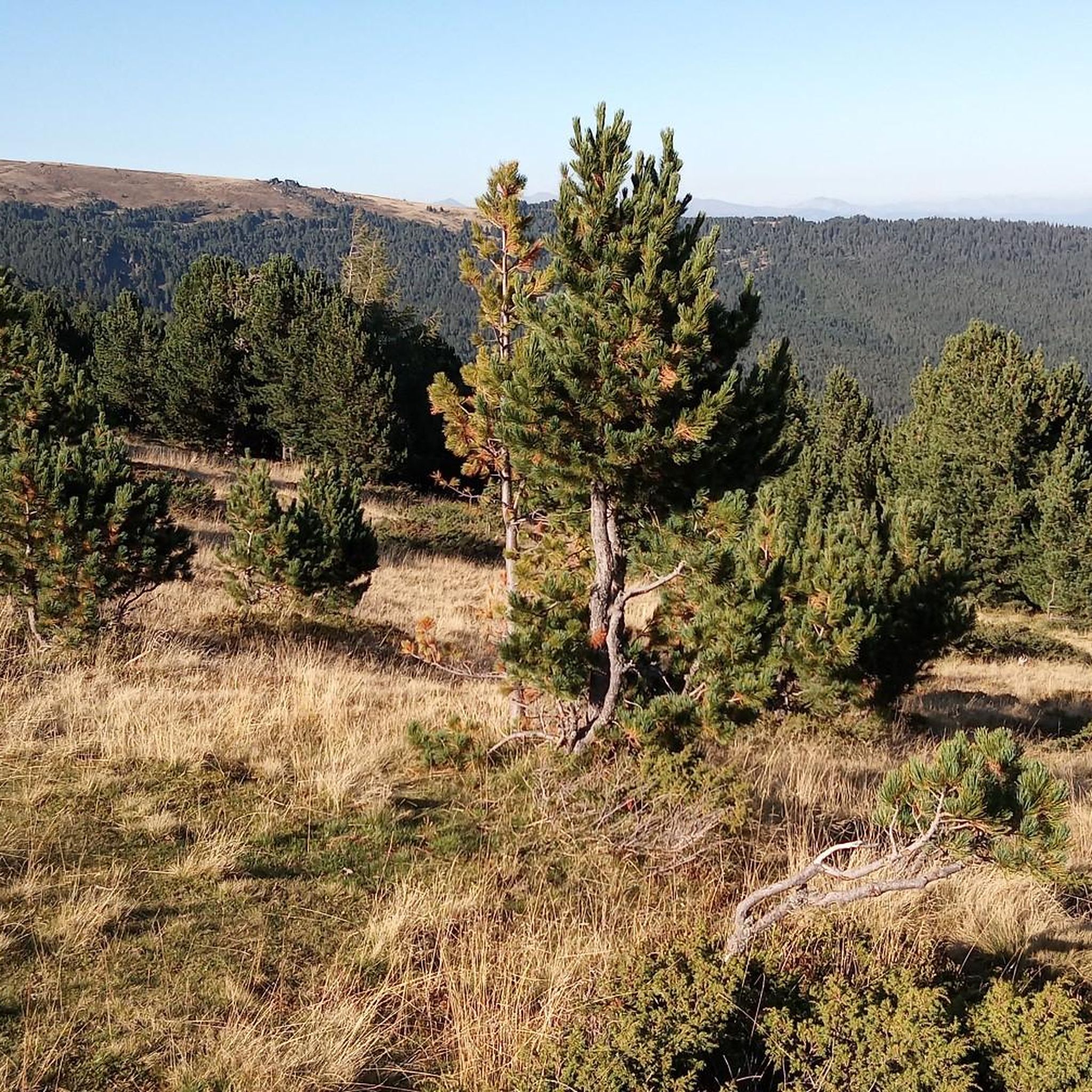

Tips from the Community

A beautiful tour even with little snow, as a track is pulled up the entire Zirbitzkogelstraße from the Waldheimhütte with a snow groomer.
0
0

St. Martiner Hütte, the drinks are always cold 👏
0
0

During the Saualm Challenge 2025 (June 19-21, 2025) organized by the Klagenfurt Nature Friends, we stopped off for a short break on June 19, 2025 (stage 1, NF-Winterleitenhütte - NF-Haus Klippitztörl). A very cozy alpine hut in a beautiful location at 1754 m, inviting you to stop for a bite to eat. Good value for money for food and drinks. Friendly hosts (hut owner Lydia Schäfer-Kassin). Open from the beginning of June to the end of October, weather permitting. Sleeping accommodations for approximately 16 people. Tel. +49 664 76 47 700
1
0


In this hut, a fully loaded truck with Murauer beer is drunk throughout the year. In 2026, the drinking water source will have dried up
0
0

The small sacred monument found here, with the name "Turkish Cross"—perhaps surprising to some readers—commemorates military conflicts in the 15th and 16th centuries, when the then "Ottoman Empire" conquered the Balkan countries from the territory of present-day Turkey and advanced on Vienna. In 1529 and again in 1683, the army laid siege to the Austrian capital, which the Sultan called the "Golden Apple," but both times unsuccessfully. Styria was also a transit area for the enemy troops; the connection to the cross here, which is explained on a plaque on site, has already been mentioned by @Anette in her short post.
0
0

Frequently Asked Questions
How many hiking trails are available in Brandwald?
Brandwald offers a wide variety of hiking experiences, with over 100 routes to explore. These range from easy forest walks to more challenging mountain ascents, ensuring there's something for every ability level.
What kind of terrain can I expect when hiking in Brandwald?
Hikers in Brandwald can expect diverse terrain, characterized by extensive forested paths, leading to alpine landscapes with notable summits and tranquil lakes. The routes offer a mix of gentle forest trails and more challenging ascents towards higher elevations.
Are there any circular hiking routes in Brandwald?
Yes, Brandwald features several excellent circular routes. A popular option is the St. Martiner Hut – Wildsee (Fuchskogel) loop from Rohrerhütte, which takes you through a mix of forest and alpine scenery to a notable lake. Another great choice is the Pressner Alpe – Feldalmhütte loop from Zöhrerkogel, offering scenic views through alpine pastures.
What do other hikers enjoy most about Brandwald?
The area is highly rated by the komoot community, with an average score of 4.6 stars from over 1500 reviews. Hikers often praise the varied terrain, from quiet woodlands to impressive alpine vistas, and the well-maintained paths that cater to different skill levels.
Are there any challenging hikes for experienced trekkers?
Absolutely. For those seeking a challenge, Brandwald offers difficult mountain ascents. A notable example is the Zirbitzkogel summit – Zirbitzkogel Hut loop from Lavantegg, an 18.4 km trail leading through mountainous terrain to a prominent summit, typically completed in about 6 hours 25 minutes.
Are there any routes that feature lakes or water bodies?
Yes, some routes in Brandwald lead to tranquil lakes. The St. Martiner Hut – Wildsee (Fuchskogel) loop from Rohrerhütte is a great option that features a notable lake amidst its forest and alpine scenery.
What is the best time of year to hike in Brandwald?
While specific conditions vary, the region's mix of forested paths and alpine landscapes suggests that late spring through early autumn typically offers the most favorable weather for hiking. During these months, trails are generally clear of snow, and the natural beauty is at its peak.
Are there any easy hikes suitable for beginners or families?
Brandwald has 24 easy routes, making it suitable for beginners and families. These trails often involve gentle forest walks, allowing everyone to enjoy the natural surroundings without overly strenuous effort. While specific family-themed trails aren't detailed, the abundance of easy routes provides plenty of options.
Can I find routes that combine forest and alpine scenery?
Many routes in Brandwald offer a beautiful combination of forest and alpine scenery. The St. Martiner Hut – Wildsee (Fuchskogel) loop from Rohrerhütte is a prime example, showcasing both extensive forested sections and stunning alpine views leading to a lake.
How long do hikes in Brandwald typically take?
Hike durations in Brandwald vary significantly depending on the route and your pace. For instance, a moderate trail like the Pressner Alpe – Feldalmhütte loop from Zöhrerkogel can take around 2 hours, while a more difficult summit ascent like the Zirbitzkogel summit – Zirbitzkogel Hut loop from Lavantegg might require over 6 hours.
What are the general difficulty levels of hikes in Brandwald?
Brandwald offers a good mix of difficulty levels. You'll find 24 easy routes, 47 moderate routes, and 34 difficult routes, ensuring options for casual walkers, intermediate hikers, and experienced mountaineers alike.

Get inspired with the komoot mobile app


Explore more
Browse the best Hikes in other regions.
