The best walks and hikes in Godinger Wald
4.6
(1309)
9,363
hikers
10
hikes
Hiking in Godinger Wald offers a diverse landscape within a low mountain range, characterized by extensive forests and varied topography. The region features elevations up to 427.5 meters above sea level, providing a range of terrain for hikers. Several flowing waters, including the Lutter and Rodebach, originate within or pass through the area, contributing to its natural environment. Large sections of Godinger Wald are designated as protected areas, preserving its natural integrity and biodiversity.
Best hiking trails in Godinger Wald
…Last updated: July 9, 2026
4.9
(15)
100
hikers
Moderate hike. Good fitness required. Mostly accessible paths. Sure-footedness required.
4.8
(12)
68
hikers
Moderate hike. Good fitness required. Mostly accessible paths. Sure-footedness required.

Sign up for free
4.8
(17)
145
hikers
Easy hike. Great for any fitness level. Easily-accessible paths. Suitable for all skill levels.
4.8
(4)
46
hikers
7.11km
02:54
510m
510m
Moderate hike. Good fitness required. Mostly accessible paths. Sure-footedness required.
4.9
(7)
34
hikers
9.27km
03:42
640m
640m
Moderate hike. Good fitness required. Mostly accessible paths. Sure-footedness required.
Get access to more routes and recommendations from other explorers.
Sign up for free
Already have an account?
Our route recommendations are based on thousands of hikes, rides, and runs completed by other people on komoot.
Start today with a free account
Your next adventure awaits.
Login or Signup
Tips from the Community

Beautiful waterfall. If you don't like narrow trails, just follow the wide gravel road just before the parking lot.
0
0
5€/day you can pay with bank card
1
0

Especially beautiful in winter when the ice is horizontal at the radar station.
2
0
Unfortunately, you can't see any of the vineyards in winter. But the view over the icy desert is definitely worth it. You can then descend on skis or a sled.
0
0


I ask the next friendly hiker who reads this beforehand to take a summit book and a new pen for the summit, because the book is unfortunately full and the pen is already very old 🖊️📒 Thank you very much!
9
1
Simply feed the navigation device with the following data. The parking lot is about 100 meters before these addresses. 🧭 9431 Wolfsberg Hartelsberg 76 or Hartelsberg 73
7
0
Frequently Asked Questions
How many hiking trails are available in Göttinger Wald?
Göttinger Wald offers a network of over 10 hiking routes, catering to various preferences. These include 2 easy trails and 8 moderate trails, ensuring options for different fitness levels.
What kind of terrain can I expect when hiking in Göttinger Wald?
Göttinger Wald is characterized by its diverse forest environments and 'Mittelgebirge' (low mountain range) terrain. You'll find varied topography with elevations up to 427.5 meters above sea level, extensive woodlands, and several flowing waters like the Lutter and Rodebach.
Are there any trails with waterfalls in Göttinger Wald?
Yes, you can discover trails that feature waterfalls. For example, the Fluder Waterfall – Koralpenhaus loop from Alpengasthaus Sonnhof is a moderate 9.1 km route that includes a waterfall, offering a scenic highlight during your hike.
What do other hikers enjoy most about Göttinger Wald?
The komoot community highly rates hiking in Göttinger Wald, with an average score of 4.6 stars from over 900 reviews. Hikers often praise the diverse forest environments, the varied topography, and the well-maintained trails that offer a range of experiences from easy strolls to more challenging adventures.
Are there any easy hiking routes suitable for beginners or families?
Yes, Göttinger Wald has easy routes perfect for beginners or families. An excellent option is The Wooden Almöhi Sculpture – Local Beverage Stand loop from Alpengasthaus Sonnhof, an easy 6.8 km trail that takes about 1 hour 54 minutes to complete, leading through pleasant forest paths.
Can I find circular hiking routes in Göttinger Wald?
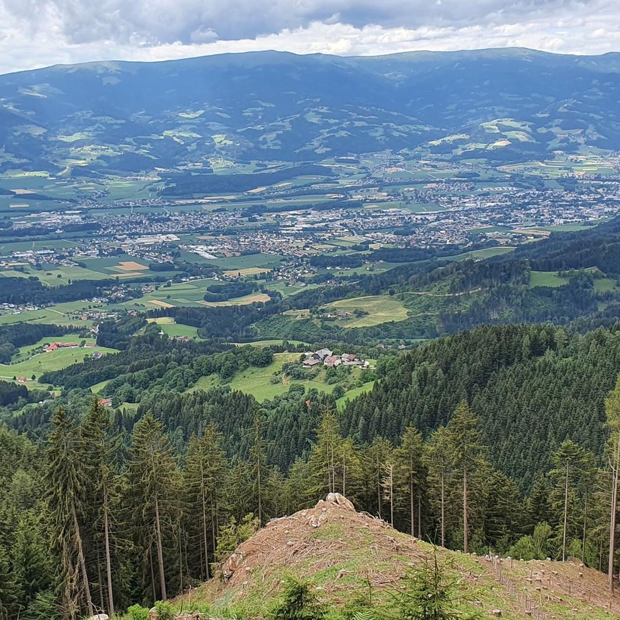
Many of the trails in Göttinger Wald are designed as circular routes, allowing you to start and end at the same point. For instance, the View of Lavant Valley – Koralpenhaus loop from Alpengasthaus Sonnhof is a moderate 7.1 km circular hike offering great views.
Are there any viewpoints or scenic spots along the trails?
Absolutely. The region offers several scenic spots. The View from Burgstallhofenlift – Koralpenhaus loop from Alpengasthaus Sonnhof is a popular moderate route known for its expansive views. Additionally, the Mackenröder Spitze is a notable peak offering narrow paths and scenic vistas.
What are the natural features that make Göttinger Wald unique?
Göttinger Wald is distinguished by its extensive and richly structured forests, forming part of the Leinebergland. It features a 'Mittelgebirge' terrain with elevations up to 427.5 meters and is home to several flowing waters like the Lutter, Rodebach, Suhle, and Weende. Large parts are designated as Fauna-Flora-Habitat and nature reserves, preserving its natural integrity and biodiversity.
Are there any specific attractions or landmarks to look out for?
Beyond the natural beauty, you can find specific points of interest. The Forsthaus, located in the heart of the city forest, is a popular spot for refreshments. Another unique landmark is the 'Geschwisterbuche,' a specific beech tree highlighted within Göttinger Wald.
What is the best time of year to go hiking in Göttinger Wald?
Göttinger Wald is suitable for hiking throughout much of the year, with each season offering a different charm. Spring brings lush greenery, summer provides pleasant forest shade, and autumn showcases vibrant foliage. The well-maintained trails make it accessible for various conditions, though checking local weather is always recommended.
Are there any longer, more challenging routes for experienced hikers?
While Göttinger Wald primarily features easy to moderate trails, experienced hikers can combine various routes to create longer, all-day adventure tours. The moderate trails often include significant elevation gain, such as the View from Burgstallhofenlift – Koralpenhaus loop from Alpengasthaus Sonnhof, which covers 10.8 km with over 560 meters of ascent.
Most popular routes in Godinger Wald

Get inspired with the komoot mobile app


Explore more
Browse the best Hikes in other regions.
