The best running trails in Krndija
59
runners
11
runs
Jogging in Krndija offers diverse landscapes across its ancient geological makeup. The region is characterized by dense forests, particularly beech and oak, providing shaded trails. Its mountainous terrain features varied elevations, from gentle slopes to demanding uphill climbs, with peaks like Kapovac reaching 792 meters. The foothills include picturesque orchards and vineyards, adding to the scenic beauty of the running routes.
Best jogging routes in Krndija
- The most popular jogging route is Kolut – Ravno Brdo loop from Gazije,…
Last updated: October 4, 2026
8
runners
21.5km
02:44
680m
680m
Hard run. Very good fitness required. Sure-footedness, sturdy shoes and alpine experience required.
6
runners
12.5km
01:38
440m
440m
Hard run. Very good fitness required. Mostly paved surfaces. Suitable for all skill levels.

7
runners
33.8km
04:42
1,240m
1,240m
Hard run. Very good fitness required. Sure-footedness, sturdy shoes and alpine experience required.
6
runners
26.1km
03:32
880m
880m
Hard run. Very good fitness required. Sure-footedness, sturdy shoes and alpine experience required.
12
runners
10.9km
01:43
580m
580m
Hard run. Very good fitness required. Sure-footedness, sturdy shoes and alpine experience required.
Get access to more routes and recommendations from other explorers.
Already have an account?
Our route recommendations are based on thousands of hikes, rides, and runs completed by other people on komoot.
Tips from the Community


Turković Castle in Kutjevo, Croatia is a must-visit. Tucked away in the picturesque region of Slavonia, this hidden gem offers a unique blend of history, architectural beauty and natural surroundings.
10
0

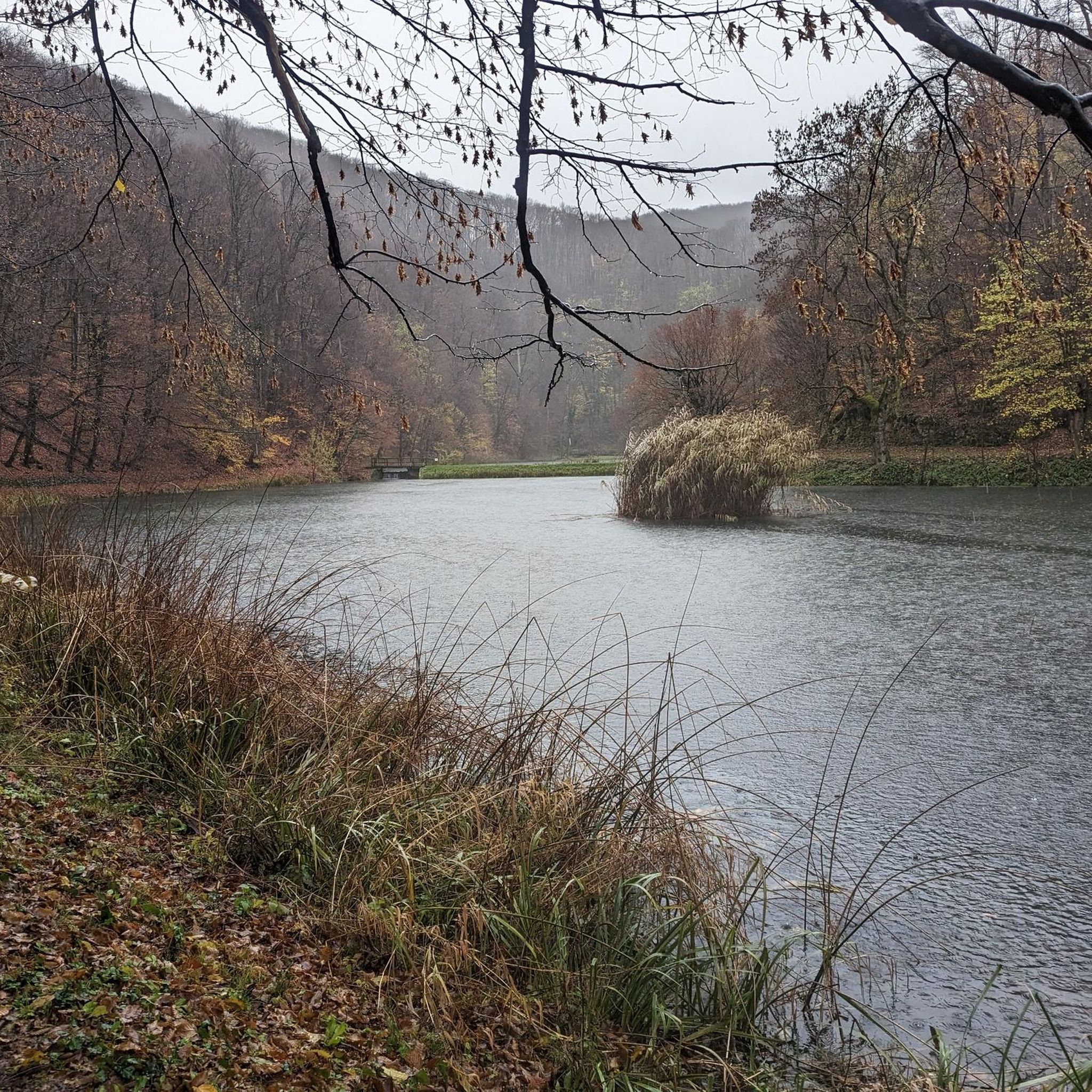
Orahovica Lake is an artificial lake located at the foot of the Papuk mountain, not far from Ružica grad. It is Orahovica's main and most visited destination during summer days. It is 208 meters long, its width varies from 48.8 to 85.2 meters. Its surface area is variable, depending on the water level, and ranges from 1.52 to 1.7 hectares. It contains 65,000 cubic meters of drinking water. The maximum recorded depth is on the north side and is 9 meters. The length of the shore is 570 meters. The shore has been arranged as a promenade. Around the lake are deciduous forests. Above the lake is Ružica grad.
4
0

Be careful last 300m before the peak since there might be downhill mountain bikers riding/jumping next to hiking paths.
1
0

Built in the 14th century, the castle is located on top of a 378-meter high mountain next to the village of Duzluk. From the quarry below, a gravel path leads up to the castle
3
0
A historic site worth visiting. A walk into the town allows you to study the educational panels placed along the way. The disadvantage is the climb before the ramparts, which is quite steep and slippery. By the way, you have to be careful, because you can see fresh rockfalls around the walls.
3
0

Although there is a large object and transmitter of the OiV at the top, because of the beautiful high pyramid you can see the whole surrounding area and the top is a nice hiking destination.
2
0
The ruins of Ružica or the Great Fortress of Orahovica is the largest preserved fortified castle ruin in Slavonia and one of the largest in Croatia. It is located on the slopes of Krndije, and dates back to the Middle Ages. The ruins are easy to visit if you start from Lake Orahovačko, an educational trail leads to it.
3
0
Frequently Asked Questions
How many running routes are available in Krndija?
Krndija offers a selection of 11 running routes, catering to various preferences. While there are no easy routes listed, you'll find 4 moderate and 7 difficult options to explore the region's diverse terrain.
What kind of terrain can I expect on running routes in Krndija?
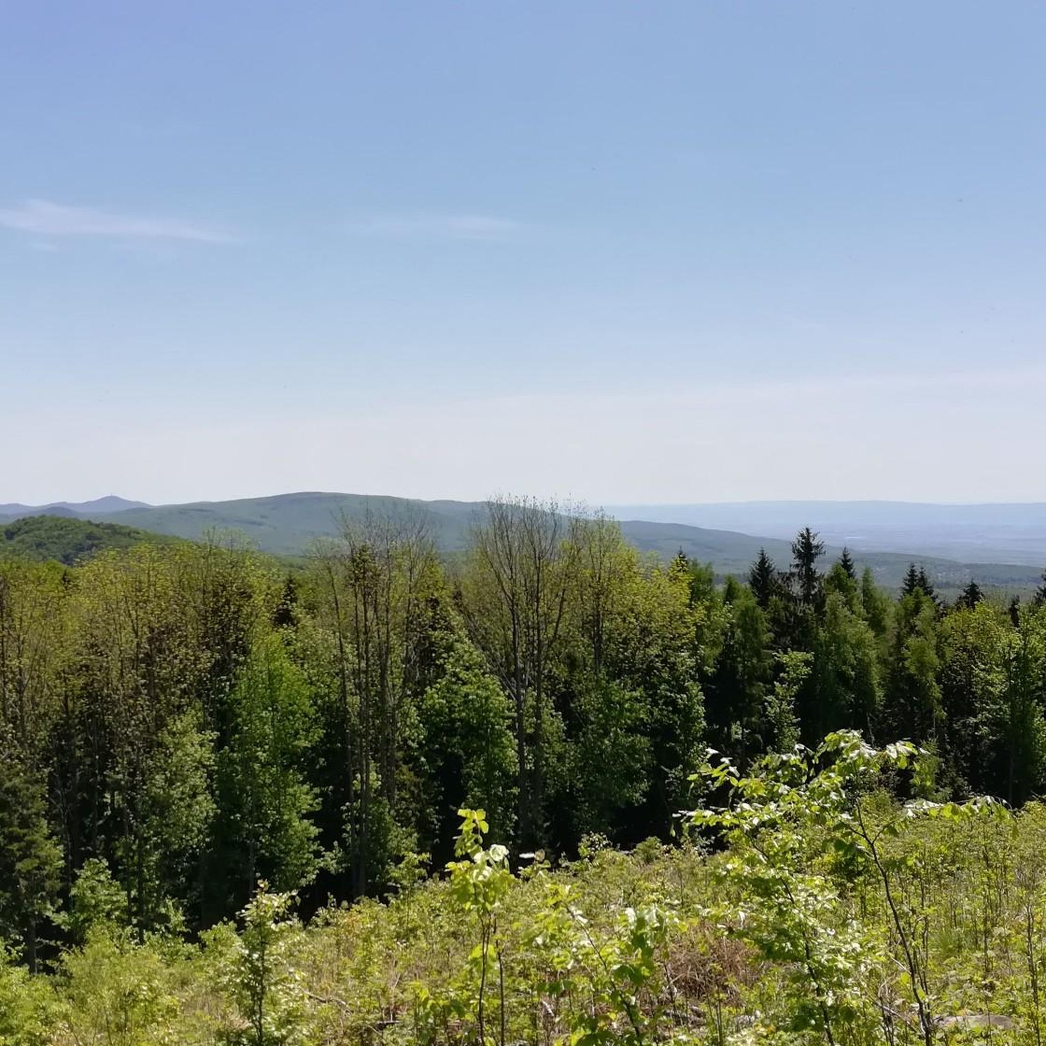
Running in Krndija means experiencing diverse landscapes. You'll encounter dense forests, particularly beech and oak, providing shaded trails. The mountainous terrain features varied elevations, from gentle slopes to more demanding uphill climbs, with peaks like Kapovac (792 meters) and Petrov vrh (701 meters). The foothills also offer picturesque views of orchards and vineyards.
Are there any circular running routes in Krndija?
Yes, many of the running routes in Krndija are circular, offering convenient loop experiences. For example, you can try the challenging Kolut – Ravno Brdo loop from Gazije (21.5 km) or the slightly shorter but still demanding Kolut loop from Gazije (12.5 km).
What natural features or viewpoints can I see while running in Krndija?
Krndija's running paths offer stunning natural beauty. From elevated points like Kapovac and Petrov vrh, you can enjoy sweeping panoramic views of the entire Đakovo region, Podravina, and the Požega Valley. The trails also wind through ancient forests and past unique geological formations, including the Tisina Cave, known for its stalactites and stalagmites.
Are there historical sites or landmarks along the running paths?
Absolutely. Krndija's routes often incorporate historical landmarks. You can run past the impressive 14th-century Ružica Grad Castle Ruins, a medieval fortress with a rich history, or the ancient Bedemgrad fortress, situated on a volcanic cliff. These sites add a unique cultural dimension to your run.
Are there family-friendly running routes in Krndija?
While many routes in Krndija are rated moderate to difficult due to the mountainous terrain and elevation changes, some sections or shorter loops might be suitable for families with older children or those accustomed to trail running. For a moderate option, consider the Running loop from Našice Grad, which is 9 km long.
Are dogs allowed on the running trails in Krndija?
Krndija is generally welcoming to dogs on its trails, as it's a natural area. However, it's always recommended to keep your dog on a leash, especially in areas with wildlife or near other visitors, and to follow local regulations regarding pet waste. The dense forests provide a great environment for you and your canine companion.
What is the best time of year for running in Krndija?
The best times for running in Krndija are typically spring, summer, and autumn. Spring offers lush greenery and pleasant temperatures, while summer provides shaded trails in the dense forests. Autumn brings beautiful foliage. Winter running is possible but may require appropriate gear due to colder temperatures and potential snow or ice on higher elevations.
Is public transport available to access the running trails in Krndija?
Access to Krndija's running trails primarily relies on personal transport. While there are towns like Orahovica, Kutjevo, and Našice in the vicinity that may have limited public transport connections, reaching specific trailheads within the mountain often requires a car. It's advisable to plan your route and check local transport options to the nearest towns.
Are there places to park near the running trailheads in Krndija?
Yes, parking is generally available near the main access points and trailheads for running routes in Krndija, especially in areas like Gazije or Duzluk, where several popular routes begin. However, specific parking availability can vary, so it's always a good idea to check the starting point of your chosen route beforehand.
Are there any cafes or pubs near the running routes in Krndija?
While the running routes themselves are primarily in natural, forested areas, you can find cafes and pubs in the nearby towns and villages surrounding Krndija, such as Orahovica, Kutjevo, and Našice. These places offer opportunities for refreshments and meals before or after your run.
What is the longest running route available in Krndija?
The longest running route in Krndija is the Ravno Brdo – Male Vincine loop from Gazije. This challenging trail spans 33.7 km (20.9 miles) and typically takes around 4 hours and 41 minutes to complete, featuring significant elevation changes through varied mountainous terrain.
Most popular routes in Krndija

Get inspired with the komoot mobile app


Explore more
Browse the best Running Trails & Routes in other regions.
