The best walks and hikes in Goms
4.6
(15533)
113,403
hikers
520
hikes
Hiking in Goms offers access to a diverse alpine landscape within the upper Valais canton of the Swiss Alps. The region is characterized by a long, narrow valley surrounded by towering mountains, with the Rhone River originating and flowing through it. Hikers encounter alpine views, green meadows, and dense forests, with trails spanning altitudes from 1,200 to 3,000 meters above sea level. This extensive network provides varied terrain for different hiking preferences.
Best hiking trails in Goms
- The most popular hiking route is Circular hike over the Aspi-Titter suspension bridge and Goms Bridge, a 11.2 miles (18.0 km) trail that takes 6 hours 33 minutes to complete. This difficult route features two notable suspension bridges and panoramic valley views.
- Another top favourite among local hikers is Gommer forest trail Reckingen to Niederwald, a moderate 6.3 miles (10.2 km) path. This trail follows the Rhone River through forest sections and traditional villages.
- Local hikers also love the The life of César Ritz, a 3.5 miles (5.7 km) trail leading through cultural landmarks and historical sites, often completed in about 1 hour 44 minutes.
- Hiking in Goms is defined by alpine views, the Rhone River, and traditional villages. The network offers options for various ability levels, from leisurely walks to challenging mountain ascents.
- The routes in Goms are highly rated by the komoot community with an average score of 4.7 stars from over 3,400 reviews. More than 26,000 hikers have used komoot to explore Goms's varied terrain.
Last updated: November 12, 2026
4.8
(73)
373
hikers
Hard hike. Good fitness required. Sure-footedness, sturdy shoes and alpine experience required.
4.9
(8)
58
hikers
15.8km
06:22
1,040m
1,040m
Hard hike. Very good fitness required. Mostly walkable paths. Sure-footedness required.

4.6
(17)
133
hikers
Moderate hike. Good fitness required. Easily walkable paths.
4.6
(14)
87
hikers
2.82km
01:29
250m
250m
Moderate hike. Mostly walkable paths. Sure-footedness required.
4.3
(6)
49
hikers
18.0km
06:33
960m
960m
Hard hike. Very good fitness required. Sure-footedness, sturdy shoes and alpine experience required.
4.3
(4)
33
hikers
10.2km
03:07
340m
410m
Moderate hike. Good fitness required. Easily walkable paths.
4.3
(4)
20
hikers
13.6km
05:15
830m
830m
Hard hike. Very good fitness required. Sure-footedness, sturdy shoes and alpine experience required.
5.0
(1)
16
hikers
5.66km
01:44
190m
200m
Moderate hike. Mostly walkable paths. Sure-footedness required.
4.7
(6)
24
hikers
Moderate hike. Mostly walkable paths. Sure-footedness required.
1
hikers
5.95km
02:07
100m
490m
Hard hike. Good fitness required. Sure-footedness, sturdy shoes and alpine experience required.
Get access to more routes and recommendations from other explorers.
Already have an account?
Our route recommendations are based on thousands of hikes, rides, and runs completed by other people on komoot.
Start today with a free account
Your next adventure awaits.


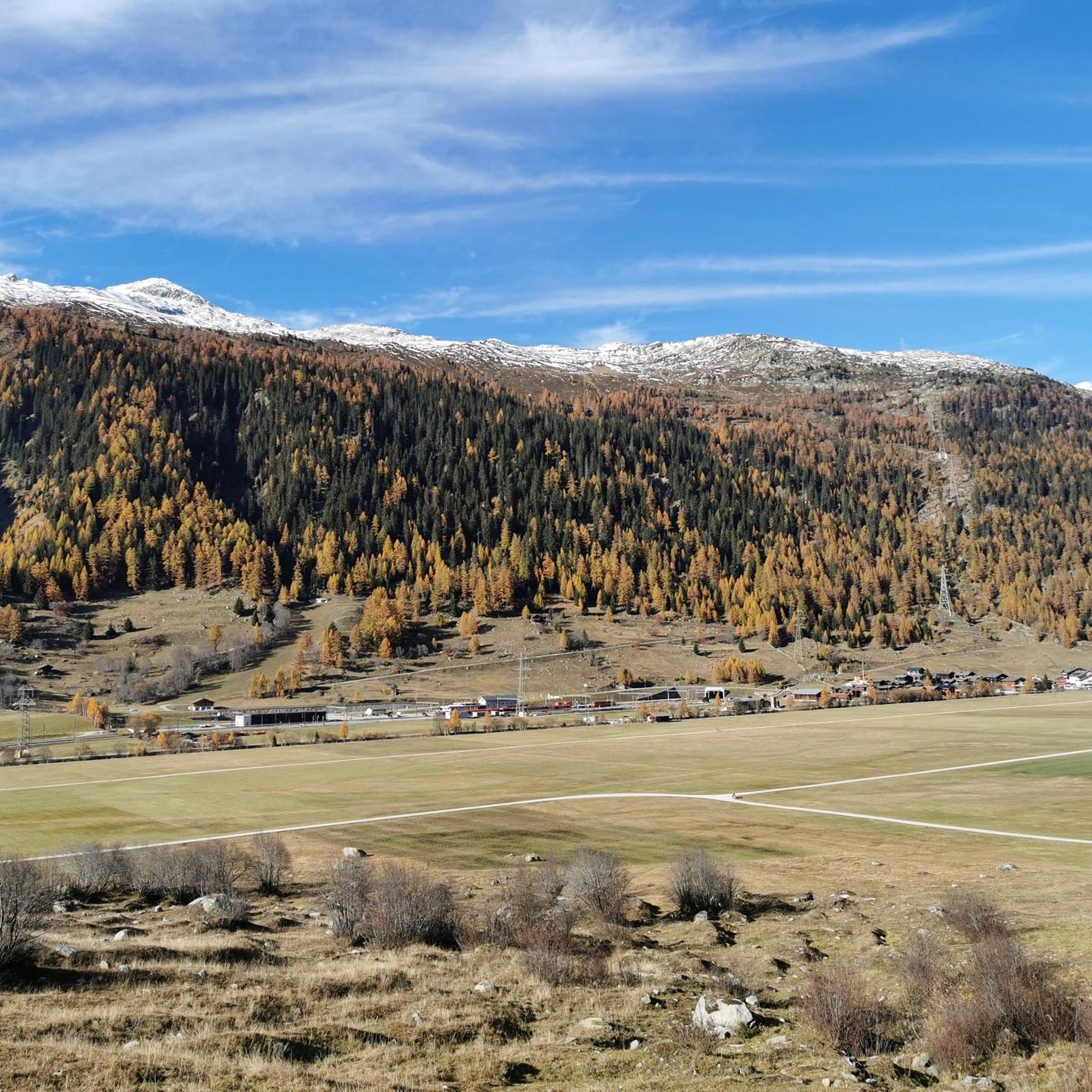
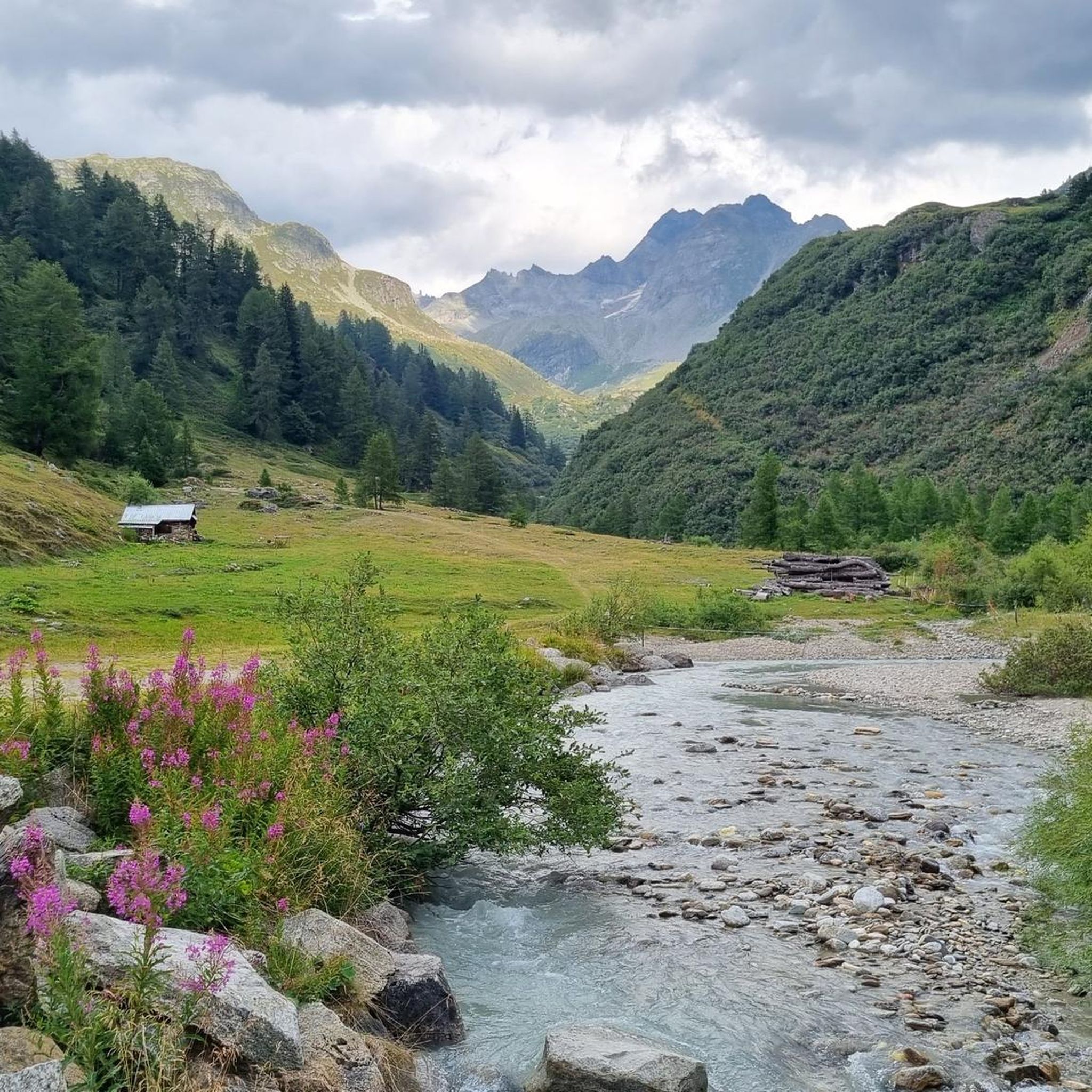


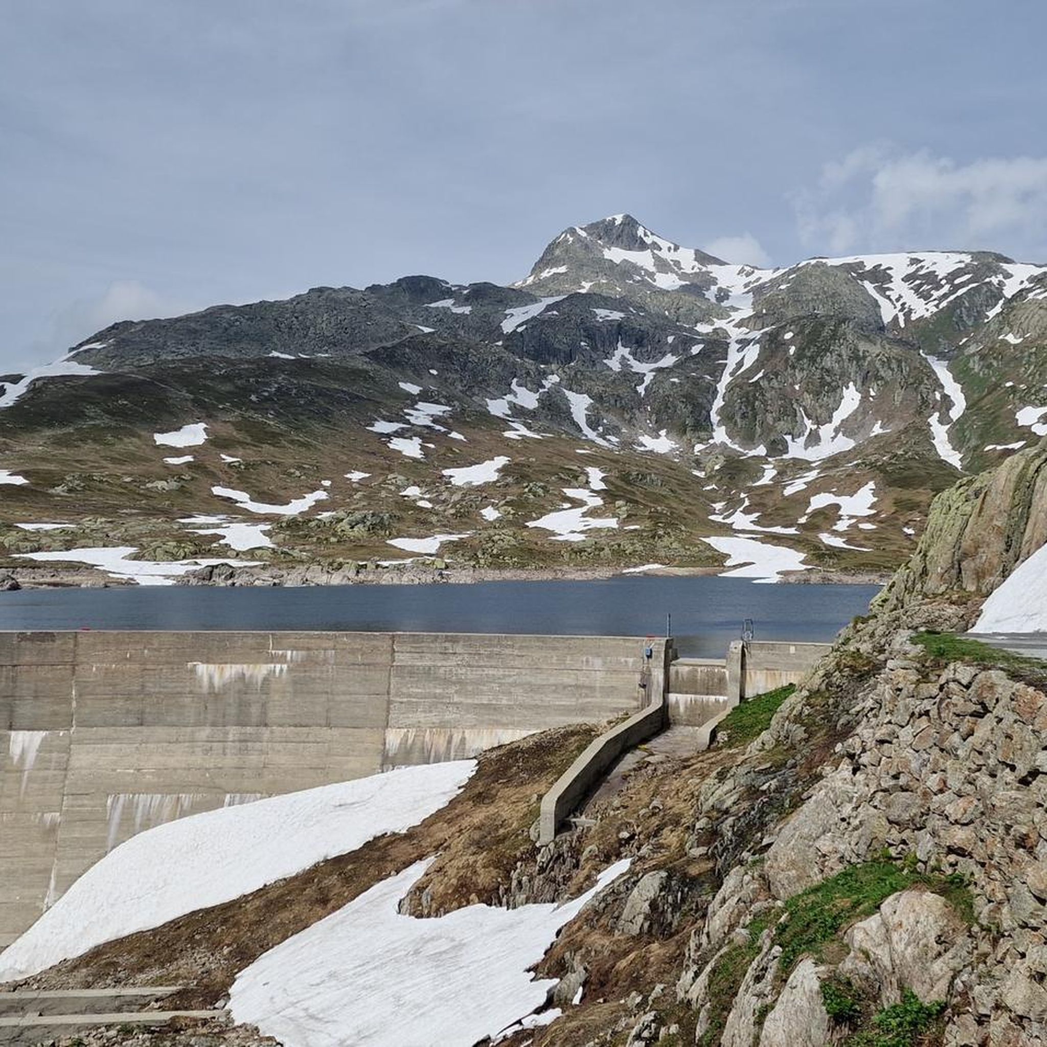
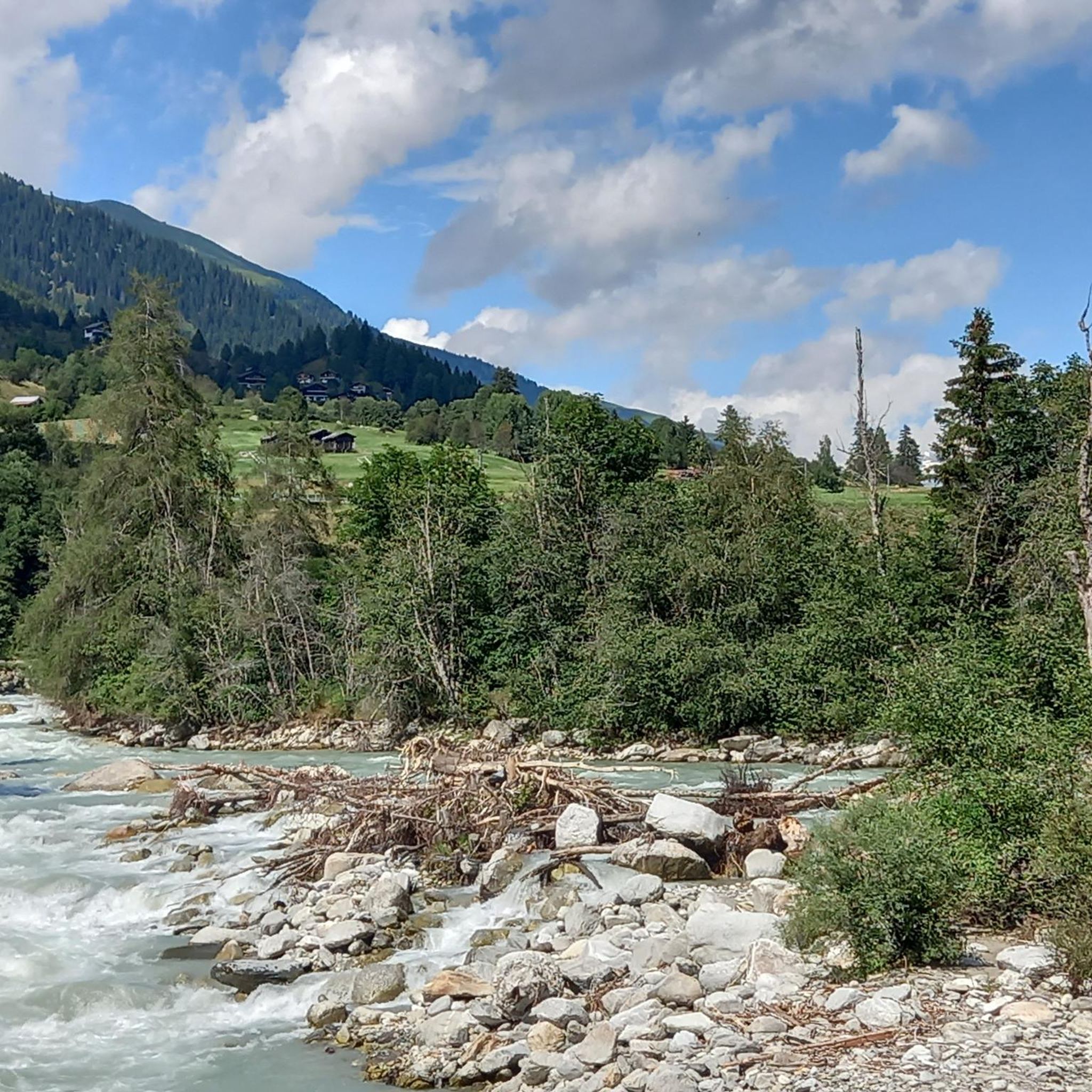
Other adventures in Goms


Tips from the Community

Very nice forest path, which is also called that. Currently well passable again!
0
0

This is a must for all hikers or MTB riders. The almost 1000 m long tunnel leading there is a highlight in itself. The glacier leaves you speechless but also thoughtful. A restaurant is located directly after the tunnel.
0
0

From here you can take the cable cars down to Fiesch or up to the Eggishorn. On foot, it takes longer.
0
0

You can easily reach Fiescheralp at 2,212 meters by cable car from Fiesch. From here, another cable car takes you up to Eggishorn. Numerous hikes along the Aletsch Glacier also start here. You'll also find several places to eat around the station – ideal for a break in between or a relaxing end to your tour.
1
0
Along the trail, there are always beautiful photo spots with views of the Fiescher Glacier. As a south-facing glacier, it is particularly affected by melting and appears significantly narrower compared to the neighboring Aletsch Glacier. Especially from the SCM Kreuz, you have a really good perspective on the ice field.
1
0
At 2866 meters, you reach one of the highest viewpoints in the region. From here, a vast view opens up over the Great Aletsch Glacier and the surrounding peaks of the Valais Alps. Note: Construction measures are planned at the mountain station in the coming years, which may lead to temporary restrictions.
0
0
Rock landscape around you and the Aletsch Glacier below you. This is how the path runs here between Elselicka and Eggishorn.
0
0

Unfortunately, the opening hours on the website are not correct. Please check locally during the off-season.
0
0
Frequently Asked Questions
How many hiking trails are available in Goms?
Goms offers an extensive network of over 530 hiking trails, catering to a wide range of preferences and skill levels. These routes span altitudes from 1,200 to 3,000 meters above sea level, providing diverse alpine landscapes to explore.
What kind of terrain can I expect on Goms hiking trails?
The terrain in Goms is highly varied. You'll find everything from gentle strolls along the Rhone River, such as the Gommer forest trail Reckingen to Niederwald, to challenging alpine ascents with significant elevation gain. The region features green meadows, dense forests, and rugged peaks, particularly around passes like Grimsel and Furka.
Are there any family-friendly hiking options in Goms?
Yes, Goms has many trails suitable for families. While specific 'easy' routes aren't highlighted in the data, the region's diverse network includes gentler paths through traditional villages and along the Rhone River, which are ideal for families looking for less strenuous walks. Look for routes with lower elevation gain and shorter distances.
Can I bring my dog on the hiking trails in Goms?
Many trails in Goms are dog-friendly, allowing you to enjoy the alpine scenery with your canine companion. However, it's always advisable to keep dogs on a leash, especially in nature protection areas or near grazing livestock. Be sure to check local regulations for specific routes.
Are there any circular hiking routes in Goms?
Yes, Goms features several excellent circular hiking routes. A notable example is the challenging Circular hike over the Aspi-Titter suspension bridge and Goms Bridge, which offers panoramic valley views and crosses two impressive suspension bridges. Another option is the Circular walk from Fiesch via Goms Bridge, Chäserstatt and Ernen.
What natural features or landmarks can I see while hiking in Goms?
Goms is rich in natural beauty and interesting landmarks. You can explore the source of the Rhone River, discover alpine lakes like Märjelensee and Totensee (Grimsel Pass), or visit impressive viewpoints such as Eggishorn and the View of the Aletsch Glacier from Bettmerhorn. The region also boasts the dramatic Twingi Gorge and charming traditional villages.
Are there any cultural or historical trails in Goms?
Yes, Goms offers cultural paths that provide insights into the region's history and traditions. One such route is The life of César Ritz, which guides you through cultural landmarks and historical sites, offering a glimpse into the life of the famous hotelier.
What are some challenging long-distance hikes in Goms?
For experienced hikers seeking a challenge, Goms offers demanding routes like the Source of the Ticino and Val Formazza loop tour from Passo della Novena. The region is also home to the Stoneman Glaciara Hike, an exclusive 65-kilometer adventure ideal for trail running enthusiasts, though it's not listed as a specific komoot tour here.
How can I access hiking trails in Goms using public transport?
Goms is well-served by public transport, making many trailheads accessible without a car. The Matterhorn Gotthard Bahn runs through the valley, connecting various villages. Additionally, post buses operate to higher-altitude starting points and mountain passes like Furka, Grimsel, and Nufenen, allowing you to reach diverse hiking areas.
Is there parking available at trailheads in Goms?
Yes, parking is generally available at or near many trailheads and in the villages throughout Goms. Specific parking information can often be found on local tourism websites or within individual route descriptions on komoot, helping you plan your starting point.
What do other hikers say about their experience in Goms?
The hiking experience in Goms is highly rated by the komoot community, with an average score of 4.7 stars from over 3,400 reviews. Hikers frequently praise the stunning alpine views, the well-maintained trails, and the peaceful atmosphere of the traditional villages. Many appreciate the diversity of routes, from riverside walks to challenging mountain ascents.
Are there any hikes that offer views of glaciers?
Absolutely. Goms is close to impressive glacial landscapes. For instance, the View of the Aletsch Glacier – Aletsch Glacier loop from Eggishorn provides spectacular vistas of the Aletsch Glacier, a UNESCO World Heritage site. You can also find routes leading to areas like Gletscherstube Märjelen and Märjelenseen loop from Alpenlodge Kühboden.
Most popular routes in Goms
Most popular attractions in Goms

Get inspired with the komoot mobile app


Didn’t find what you were looking for?
Check out more Hikes throughout Goms below and find the perfect route in your destination.
Explore more
Browse the best Hikes in other regions.
