The best walks and hikes around Goltoft
4.5
(4312)
14,258
hikers
10
hikes
Hiking around Goltoft offers diverse landscapes characterized by rolling hills, green meadows, and proximity to the Baltic Sea. The region is defined by the Schlei, an inlet of the Baltic Sea, which provides varied terrain for exploration. Hikers can experience a mix of coastal paths and inland routes, with the Schleswig-Flensburg region known for its natural scenery and biodiversity.
Best hiking trails around Goltoft
- The most popular hiking route is Natur-Camping Hellör – View of the Schlei loop from Brodersby-Goltoft…
Last updated: November 6, 2026
4.7
(24)
82
hikers
Easy hike. Easily walkable paths.
4.8
(6)
17
hikers
Moderate hike. Good fitness required. Easily walkable paths.

4.0
(4)
13
hikers
Moderate hike. Good fitness required. Easily walkable paths.
4.3
(3)
14
hikers
Easy hike. Easily walkable paths.
5.0
(4)
12
hikers
Easy hike. Easily walkable paths.
Get access to more routes and recommendations from other explorers.
Already have an account?
Our route recommendations are based on thousands of hikes, rides, and runs completed by other people on komoot.
Start today with a free account
Your next adventure awaits.
Tips from the Community

The small fieldstone church from the 12th century is considered one of the most original Romanesque churches in Angeln.
0
0

Ferry is out of operation long-term
0
0

Have suitable cash with you. It is collected on the ferry. Card payment is not possible. (2-3 €)
0
0

Large boulder under an oak tree with the inscription >Goltoft 1986<
0
0

By the way, the farm is called Bluschke. https://www.hof-bluschke.de/
1
0

Great campsite right on the Schlei.
0
0

The Missunde cable ferry is located at the narrowest point of the Schlei
0
0
Fährhaus Missunde GmbH Missunde Fährstraße 33 24864 Brodersby near Schleswig Tel. +49/04622 626 Fax +49/04622 2543 info@faehrhaus-missunde.de
0
0
Frequently Asked Questions
How many hiking trails are available around Goltoft?
There are over 440 hiking trails in the Goltoft area, offering a wide range of options for different preferences and fitness levels. The majority, around 285, are classified as easy, with 141 moderate and 16 difficult routes.
What kind of landscapes can I expect on hikes around Goltoft?
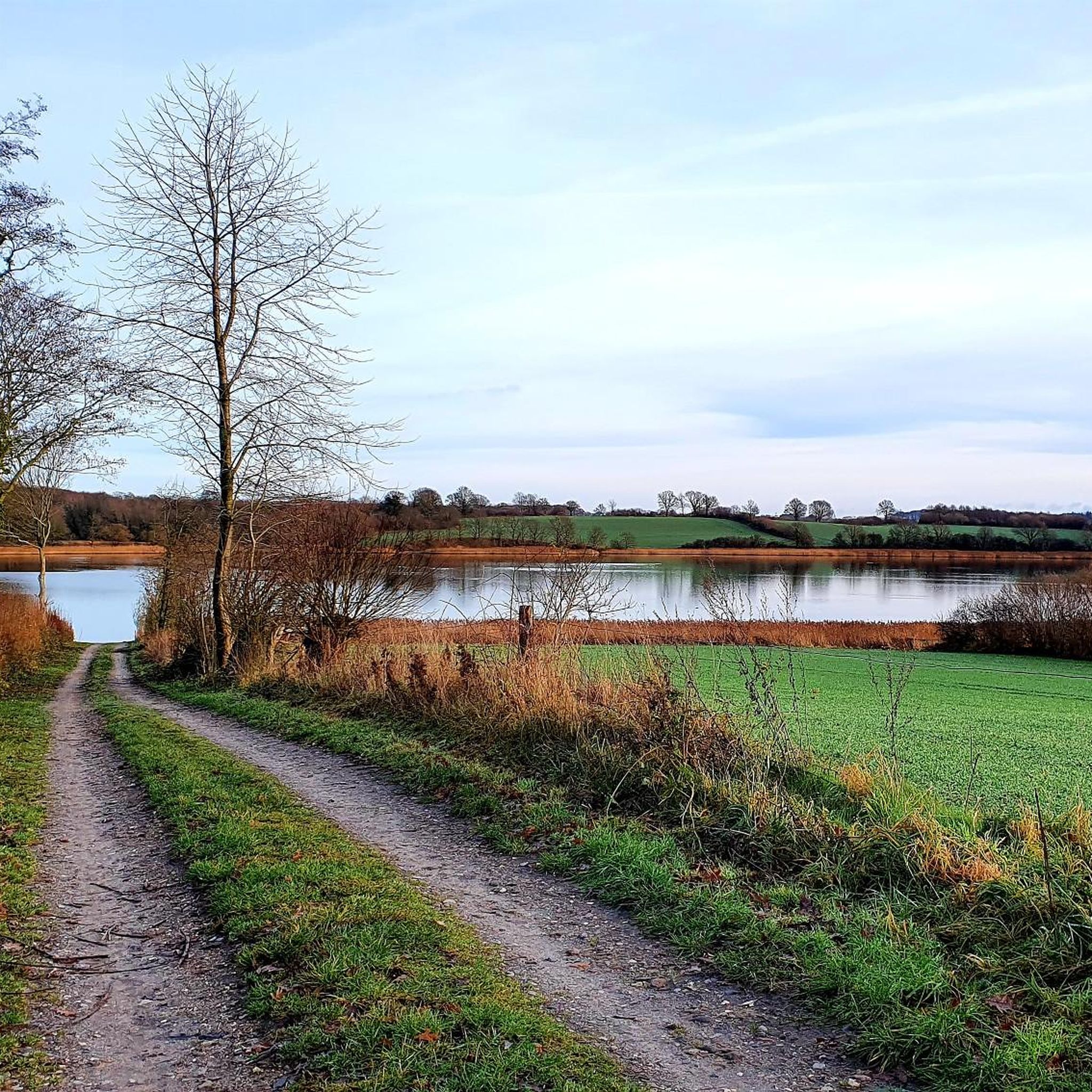
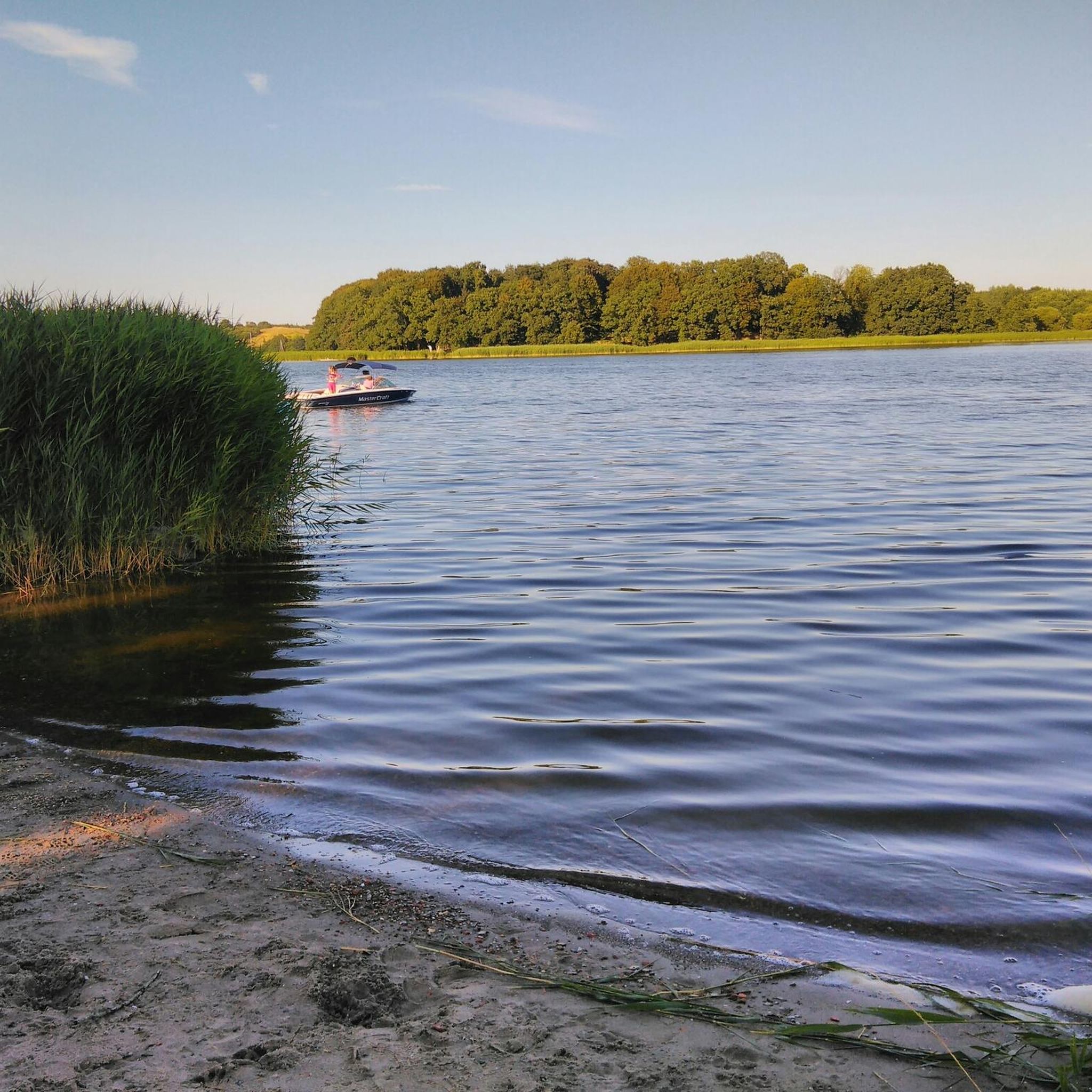
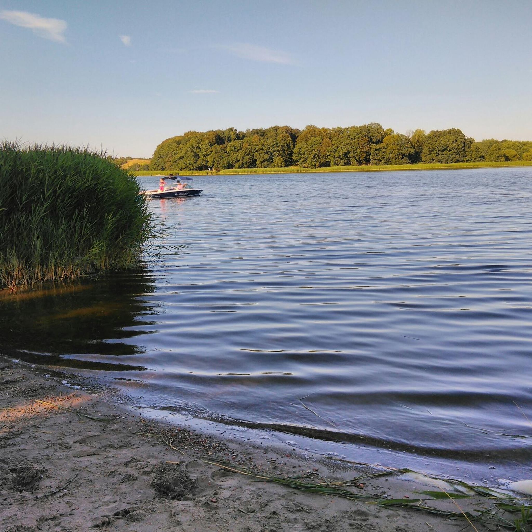
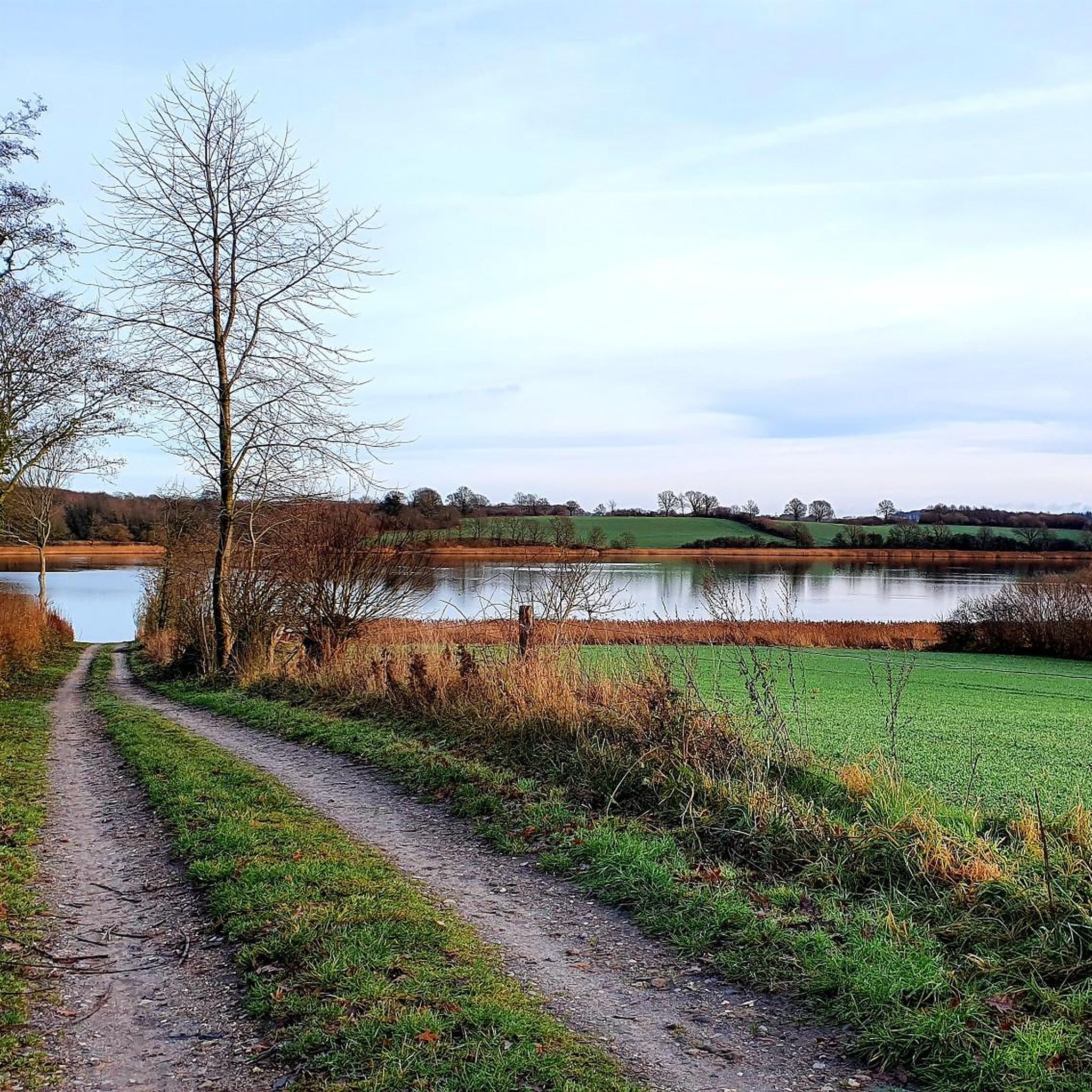
Hikes around Goltoft feature diverse landscapes, from rolling hills and green meadows to coastal paths along the Schlei, an inlet of the Baltic Sea. The region is rich in natural scenery and biodiversity, including nature reserves, offering a mix of inland and waterside views.
Are there easy hiking trails suitable for beginners or casual walkers?
Yes, Goltoft offers many easy hiking trails perfect for beginners or those seeking a relaxed stroll. For example, the Hiking loop from Goltoft is an easy 2.8-mile (4.4 km) path that provides a straightforward exploration of the local area, typically completed in about 1 hour 10 minutes.
Can I find circular hiking routes in Goltoft?
Absolutely. Many routes around Goltoft are circular, allowing you to start and end at the same point. A popular option is the Natur-Camping Hellör – View of the Schlei loop from Brodersby-Goltoft, a 4.2-mile (6.8 km) trail offering beautiful views of the Schlei inlet.
What are some interesting natural sights or viewpoints along the trails?
The region around Goltoft is dotted with natural highlights. You can find stunning vistas like the View of the Schlei near Lindaunis or the View of the Große Breite at Weseby. The Cliff path overlooking the Schlei also offers picturesque views of the inlet.
Are there any longer, more challenging hikes for experienced trekkers?
While many routes are easy or moderate, there are options for more experienced trekkers. The region offers 16 difficult trails. A moderate option that is longer is the Natur-Camping Hellör – Klein Westerland bathing beach loop from Brodersby-Goltoft, which is 6.4 miles (10.3 km) long and takes around 2 hours 40 minutes.
What do other hikers enjoy most about hiking in Goltoft?
The area is highly rated by the komoot community, with an average score of 4.6 stars from over 3800 reviews. Hikers frequently praise the varied terrain, from coastal paths along the Schlei to green meadows and gentle rolling hills, and the well-maintained network of trails suitable for different ability levels.
Is Goltoft a good destination for family-friendly walks?
Yes, Goltoft is well-suited for family walks, especially with its abundance of easy and moderate trails. The gentle terrain and scenic views along the Schlei provide an enjoyable experience for all ages. Many routes are relatively short, making them manageable for children.
Are there any historical or cultural attractions to explore while hiking?
Beyond natural beauty, the region offers historical insights. The area around Goltoft is close to significant historical sites like Haithabu, an ancient Viking trading settlement. Some trails allow you to combine hiking with exploring this rich past, immersing you in both nature and history.
What is the best time of year to go hiking in Goltoft?
The best time to hike in Goltoft is generally from spring through autumn, when the weather is mild and the landscapes are vibrant. Spring brings blooming meadows, while summer offers pleasant temperatures for coastal walks. Autumn provides beautiful foliage, though winter hiking is also possible for those prepared for colder conditions.
Are there places to rest or find shelter along the hiking routes?
Yes, you can find various shelters and huts in the area. For instance, the Robbie Shelter by the Osterbek and the Shelter at the Noor provide convenient spots for a break or to take cover from the elements.
How long do hikes around Goltoft typically take?
Hike durations vary significantly. Many easy trails, like the Hellör-Knös – Natur-Camping Hellör loop from Brodersby-Goltoft (3.4 miles / 5.5 km), can be completed in under 1.5 hours. Longer, moderate routes might take 2-3 hours, while more challenging treks could extend to half a day or more.
Most popular attractions around Goltoft

Get inspired with the komoot mobile app


Explore more
Browse the best Hikes in other regions.
