The best road cycling routes in Kačerginės Miškas
4.9
(56)
1,113
riders
19
rides
Road cycling routes in Kačerginės Miškas traverse a unique landscape characterized by sandy, hilly terrain and extensive pine and spruce forests. The area, situated on the left bank of the Nemunas River, features elevation differences up to 56 meters, providing varied gradients for cyclists. A dedicated bicycle path connects Marvelė to Kačerginė, integrating with internal cycling paths within the town. This natural setting offers diverse road cycling experiences, from riverine paths to forest trails.
Best road cycling routes in Kačerginės…
Last updated: November 10, 2026
5.0
(1)
34
riders
30.8km
01:13
110m
110m
Easy road ride. Mostly well-paved surfaces and easy to ride.
5.0
(1)
18
riders
35.5km
01:46
170m
170m
Moderate road ride. Some segments of this route may be unpaved and difficult to ride.

2
riders
38.1km
01:32
180m
180m
Easy road ride. Mostly well-paved surfaces and easy to ride.
4.8
(23)
417
riders
49.4km
02:27
200m
200m
Moderate road ride. Good fitness required. Some segments of this route may be unpaved and difficult to ride.
5.0
(4)
50
riders
36.6km
01:49
190m
190m
Moderate road ride. Some segments of this route may be unpaved and difficult to ride.
Get access to more routes and recommendations from other explorers.
Already have an account?
Our route recommendations are based on thousands of hikes, rides, and runs completed by other people on komoot.
Start today with a free account
Your next adventure awaits.
Tips from the Community

Another highlight is the Kaunas Cathedral of St. Peter and St. Paul. It is the largest building in the Old Town and has been the basilica of the Cardinal of Lithuania since 1921. The church was built in the Gothic architectural style and features a Baroque high altar depicting the crucifixion scene of Jesus. Worth seeing is the sacristy with its cross vault or the 17th-century Neo-Gothic wood-carved chapel.
4
0
A highlight of the city is the former town hall. It is called the White Swan, as it is built entirely in white. The characteristic features of this building are its construction elements in the Renaissance and Late Baroque style. The 53-meter-high tower is the city's landmark and is adorned with an aurochs as a weather vane.
3
0

In 1941, the ghetto in the Lithuanian city of Kaunas was sealed off. Shalom Eilati (*1933), who had to move into the ghetto with his family, recalls: »August 15, 1941, arrived, just eight weeks after the start of the attacks, and the gates of the ghetto were closed. Now everyone was locked inside. For a few more weeks, people were busy moving from here to there, looking for a spot to stay. Occasionally, new families were brought in, who had survived as if by a miracle. Three years later, of an original ghetto population of more than 30,000 people, only a few thousand would still be alive.« The SS converted the ghetto into the Kauen concentration camp in August 1943, with initially still 17,000 Jews. From July 1944, the Kauen concentration camp was cleared ahead of the approaching Red Army, and most of the remaining inhabitants were deported to other camps. When the Red Army arrived in Kaunas on August 1, 1944, they found 90 surviving Jews.«
0
0

Beautiful town hall, called the "White Swan" by the locals.
2
0

St. Michael the Archangel's Church or the Garrison Church is a Roman Catholic church in the city of Kaunas, Lithuania, closing the perspective of the Laisvės alėja, the main pedestrian street. It was built between 1891 and 1895 when Kaunas was part of the Russian Empire, in Neo-Byzantine style largely for the use of the Russian Orthodox garrison of Kaunas Fortress. The construction of "military" or "garrison" Orthodox churches by the Russian government in former Polish–Lithuanian Commonwealth lands had started after the suppression of the November Uprising of 1830-31, and peaked during the reign of emperor Alexander III of Russia. Initially the site of this church had been intended to be used for a Catholic church, but these plans had been abandoned after the Uprising. The church was designed as an Orthodox cathedral of Saints Peter and Paul in 1890 by K. H. Lymarenko; it was authorized for construction on November 10 that year.
0
0
The Nemunas is the longest river in Lithuania . Its total length is 937 km, 359 km of which flows within Lithuania. The remaining part flows through Belarus (462 km) and borders Lithuania's border with Belarus (17.3 km) and the Russian Kaliningrad Oblast (98.7 km). The Nemunas basin area is 98,200 km², of which 46,600 km² are in Lithuania covering 72% of Lithuania's territory.
0
0

Very beautiful surroundings, great bike path all the way to Kaunas.
0
0

Frequently Asked Questions
How many road cycling routes are available in Kačerginės Miškas?
Kačerginės Miškas offers a selection of over 20 road cycling routes, catering to various skill levels. You'll find options ranging from easy rides to more challenging moderate trails.
What is the terrain like for road cycling in Kačerginės Miškas?
The terrain in Kačerginės Miškas is characterized by its unique sandy, hilly landscape, reminiscent of the Curonian Spit. You'll cycle through beautiful pine and spruce forests, with elevation differences reaching up to 56 meters, providing varied gradients and an engaging experience.
Are there road cycling routes suitable for beginners or less experienced cyclists?
Yes, Kačerginės Miškas has several routes suitable for beginners. Approximately 6 of the routes are classified as easy, offering a gentle introduction to road cycling in the area. An example is the Velo Bar loop from Ringaudų seniūnija, which is an easy 30.8 km ride.
What kind of difficulty can I expect on road cycling routes here?
The routes in Kačerginės Miškas primarily range from easy to moderate difficulty. There are 6 easy routes and 14 moderate routes, ensuring options for both casual riders and those looking for a bit more challenge. There are no routes classified as difficult.
Are there any loop road cycling routes in Kačerginės Miškas?
Yes, many of the road cycling routes in Kačerginės Miškas are designed as loops, allowing you to start and finish at the same point. Examples include the easy Velo Bar loop from Ringaudų seniūnija and the moderate Pypliai Hillfort – Kaunas Castle loop from Ringaudai.
What scenic viewpoints or natural features can I expect to see along the road cycling routes?
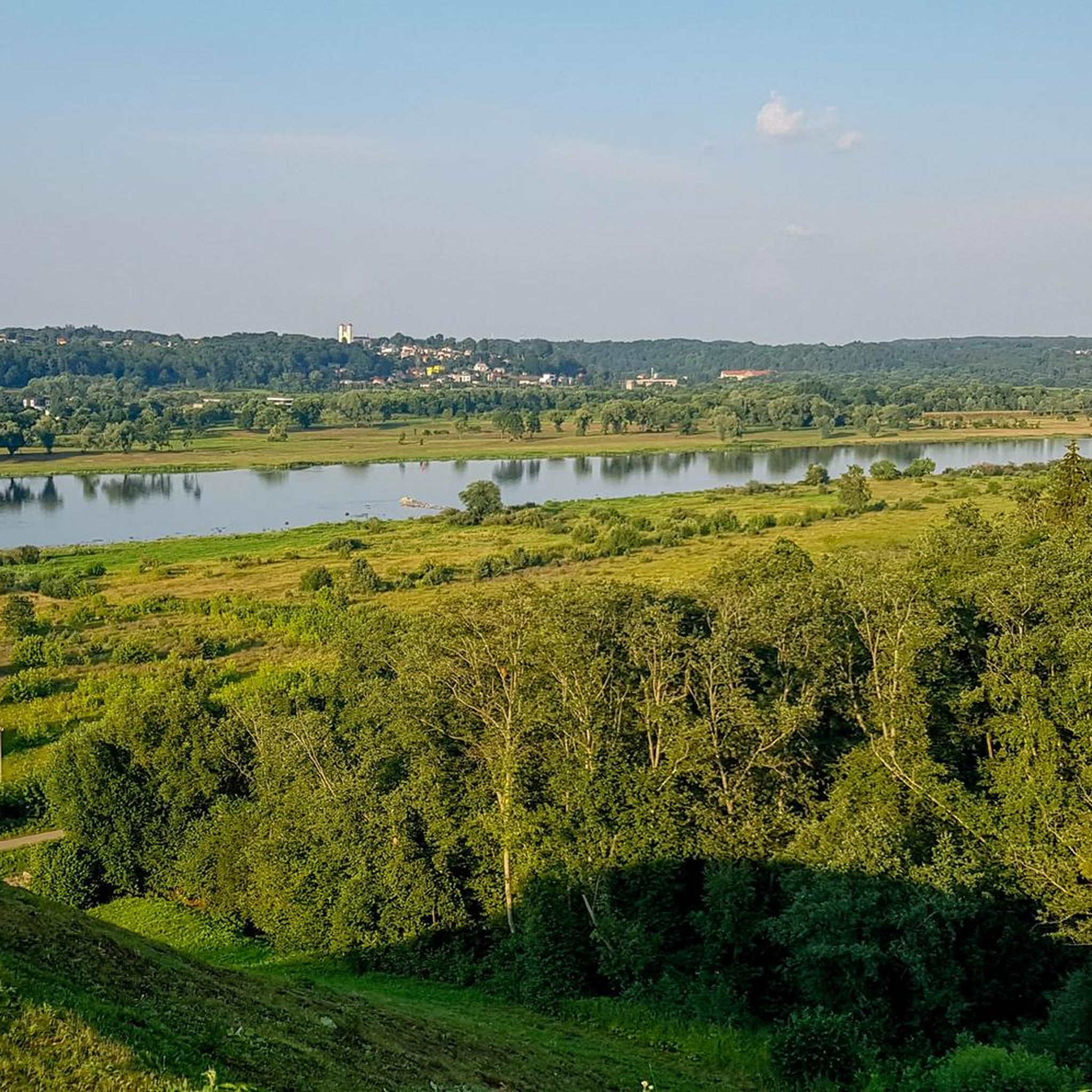
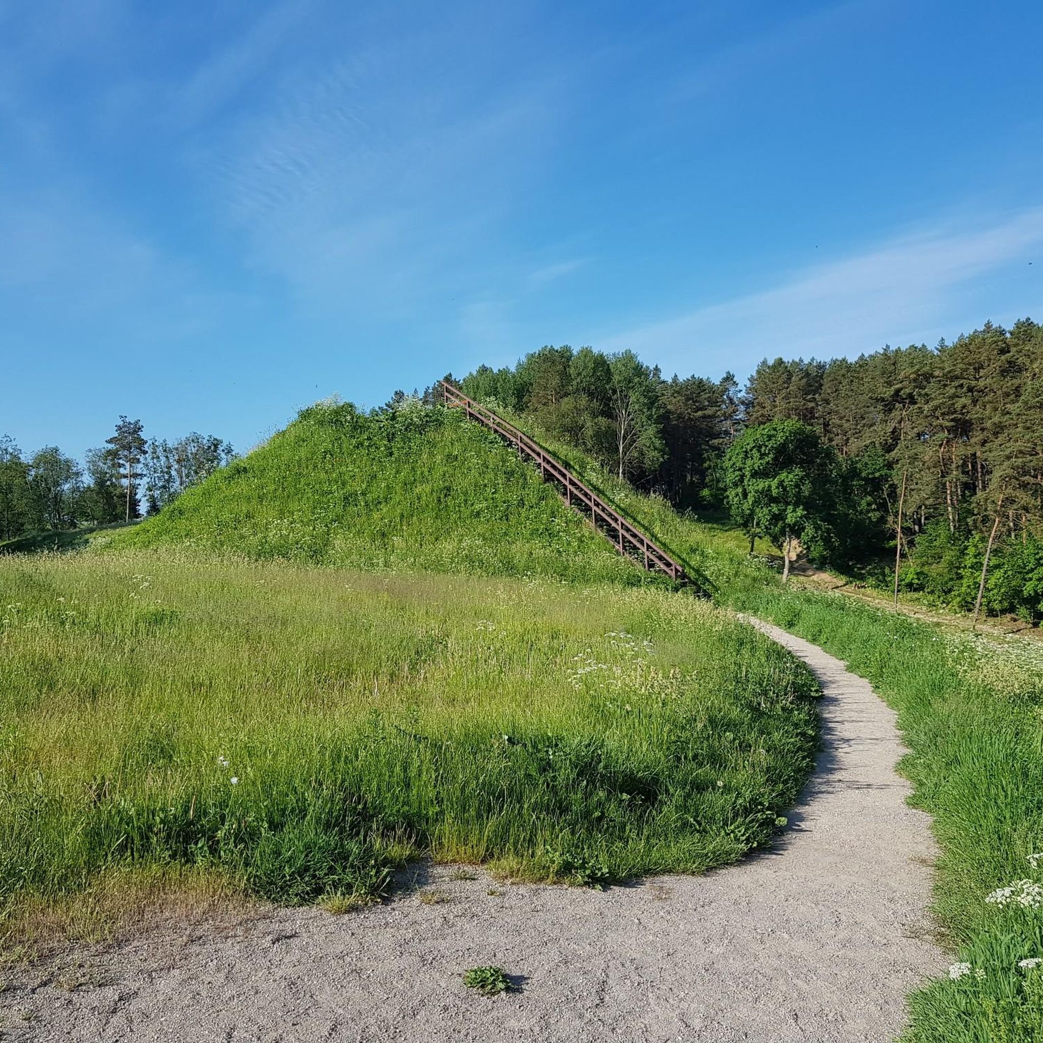
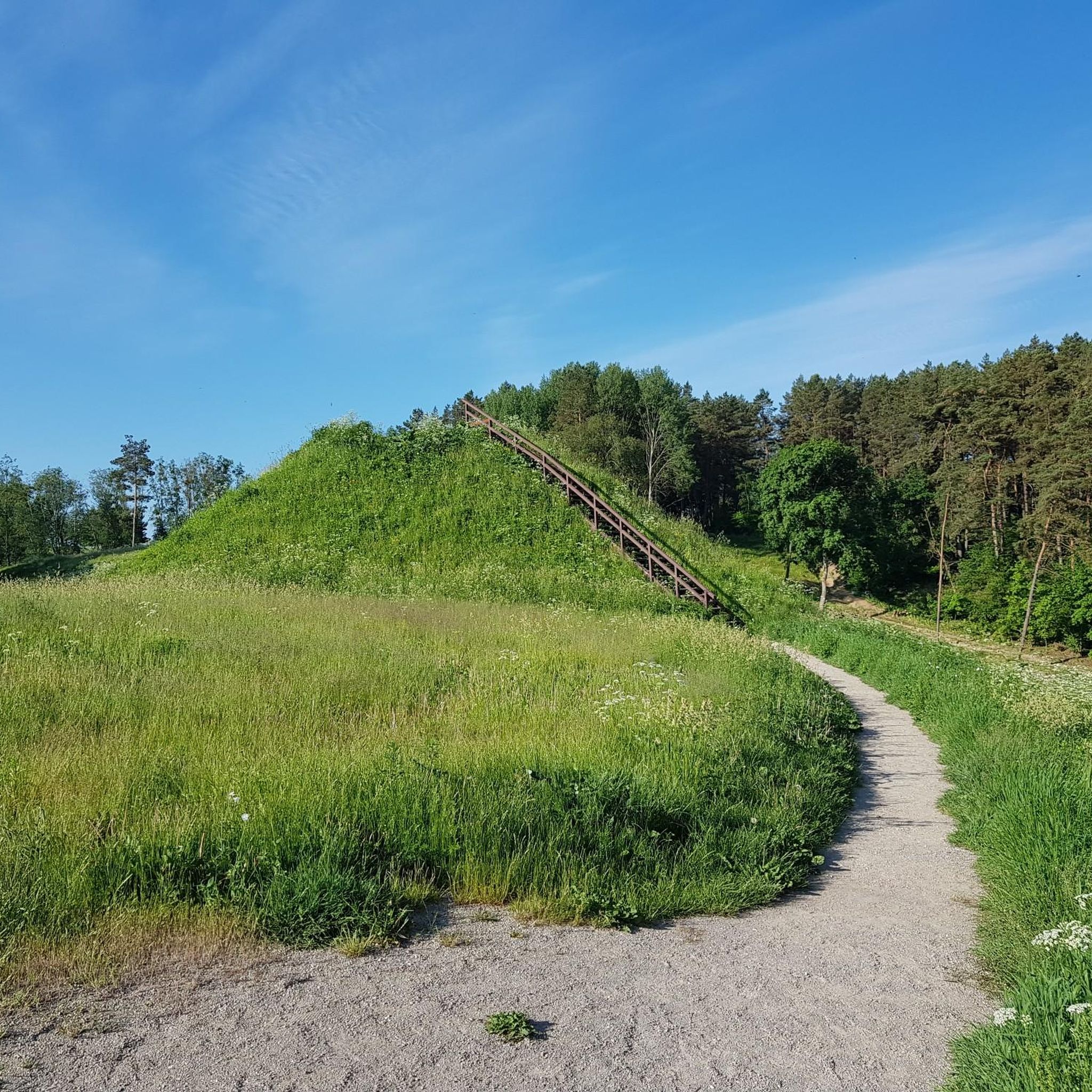
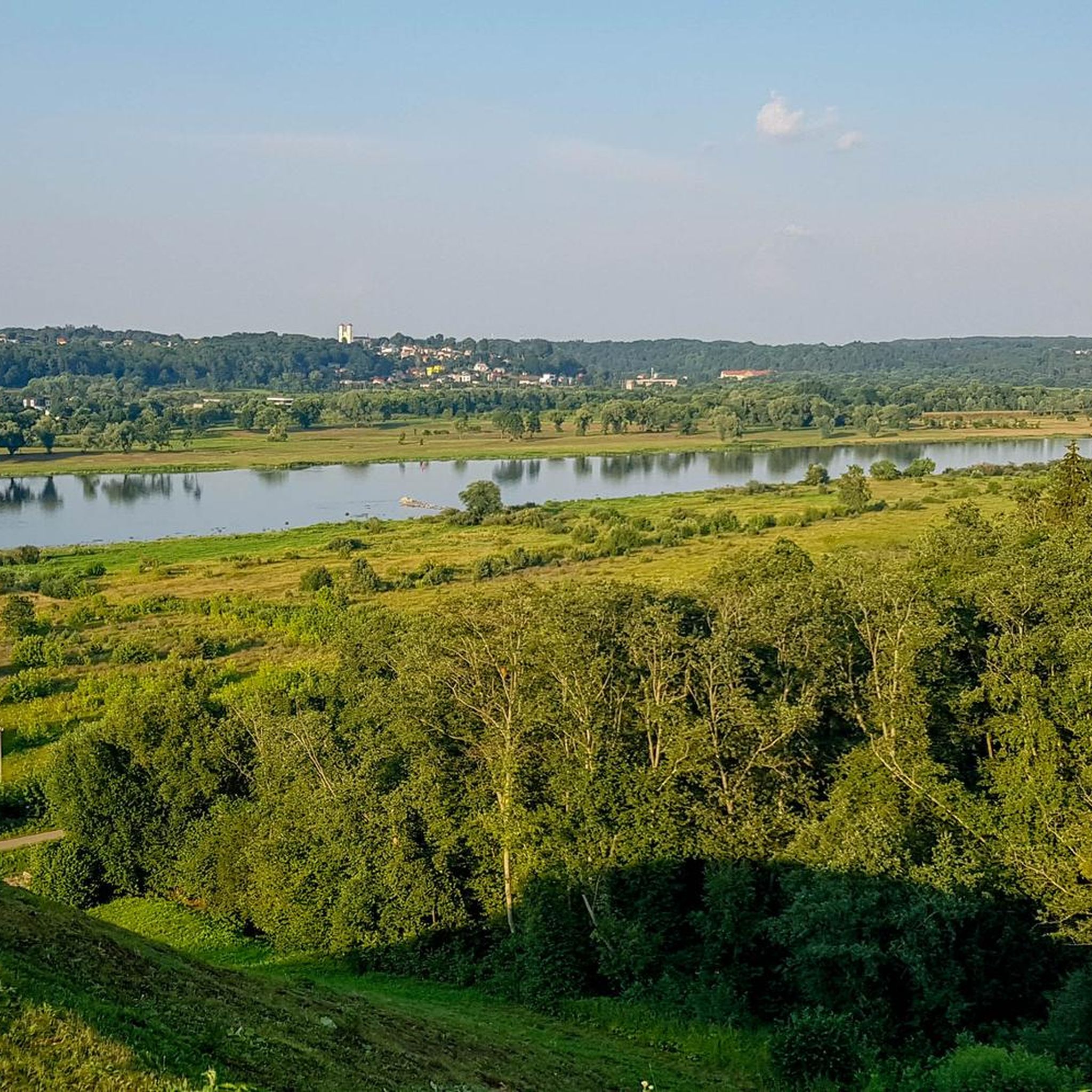
Road cycling routes in Kačerginės Miškas offer diverse scenery. You can expect picturesque views of the Nemunas River, especially from areas like the Pypliai Mound. The region is also known for its beautiful pine and spruce forests, and you might encounter natural springs and varied vegetation along paths like the Springs Trail.
Are there any historical landmarks or points of interest accessible by road bike?
Yes, the area features several points of interest. You can cycle past the historic Pypliai Mound (Pyplių piliakalnis), which offers panoramic views of the Nemunas and Nevėžis rivers confluence. Other notable sites include St. Anne's Chapel (Kačerginės Šv. Onos koplyčia) and the memorial stone "To the Sons of Lithuania".
Is there a dedicated cycling path in Kačerginės Miškas?
Yes, there is a dedicated bicycle path that extends from Marvelė to Kačerginė. This path seamlessly connects with internal pedestrian and cycling paths within the town of Kačerginė, providing a safe and enjoyable experience for road cyclists.
What are the parking options for road cyclists in Kačerginės Miškas?
While specific parking areas for cyclists are not detailed, Kačerginė is a popular outdoor destination. You can typically find parking in designated areas within the town or near popular access points to the forest and cycling paths. It's advisable to check local signage upon arrival.
What do other road cyclists enjoy most about road cycling in Kačerginės Miškas?
The area is highly rated by the komoot community, with an average score of 4.9 stars from over 60 reviews. Reviewers often praise the unique sandy, hilly terrain, the beautiful forest landscapes, and the scenic riverine paths along the Nemunas, which offer a varied and engaging cycling experience.
Are there any family-friendly road cycling options in Kačerginės Miškas?
For families, the dedicated bicycle path from Marvelė to Kačerginė and the internal cycling paths within the town offer a safer and more controlled environment. The easier rated routes, such as the Roadbike loop from Kulautuva, which is 37.4 km and easy, could also be suitable for families with older children or those comfortable with longer distances.
What is the best time of year for road biking in Kačerginės Miškas?
The best time for road biking in Kačerginės Miškas is generally during the warmer months, from spring through early autumn. During these seasons, the weather is more favorable, and the natural beauty of the forests and riverbanks is at its peak. Autumn also offers beautiful foliage for scenic rides.
Most popular routes in Kačerginės Miškas

Get inspired with the komoot mobile app


Explore more
Browse the best Road cycling routes in other regions.
