The best cycling routes around Göllheim
4.8
(117)
301
riders
33
rides
Touring cycling around Göllheim offers diverse landscapes characterized by rolling hills, vineyard-laced valleys, and dense forests. The region is situated at the foot of the Donnersberg, the highest mountain in Rhineland-Palatinate, and includes parts of the Pfälzerwald. The Zellertal, with its vineyards and the Pfrimm river, contributes to the varied terrain, alongside notable volcanic rock formations. These features create a range of cycling opportunities across different elevations.
Best touring cycling routes around Göllheim
- The most popular touring cycling route is…
Last updated: October 4, 2026
4.9
(34)
30
riders
Hard bike ride. Very good fitness required. Mostly paved surfaces. Suitable for all skill levels.
4.6
(20)
24
riders
12.5km
00:47
120m
120m
Easy bike ride. Great for any fitness level. Mostly paved surfaces. Suitable for all skill levels.

4.6
(9)
30
riders
20.7km
01:23
170m
170m
Moderate bike ride. Good fitness required. Mostly paved surfaces. Suitable for all skill levels.
5.0
(2)
11
riders
Moderate bike ride. Good fitness required. Mostly paved surfaces. Suitable for all skill levels.
18
riders
Easy bike ride. Great for any fitness level. Mostly paved surfaces. Suitable for all skill levels.
Get access to more routes and recommendations from other explorers.
Already have an account?
Our route recommendations are based on thousands of hikes, rides, and runs completed by other people on komoot.
Start today with a free account
Your next adventure awaits.

Other adventures around Göllheim

Tips from the Community

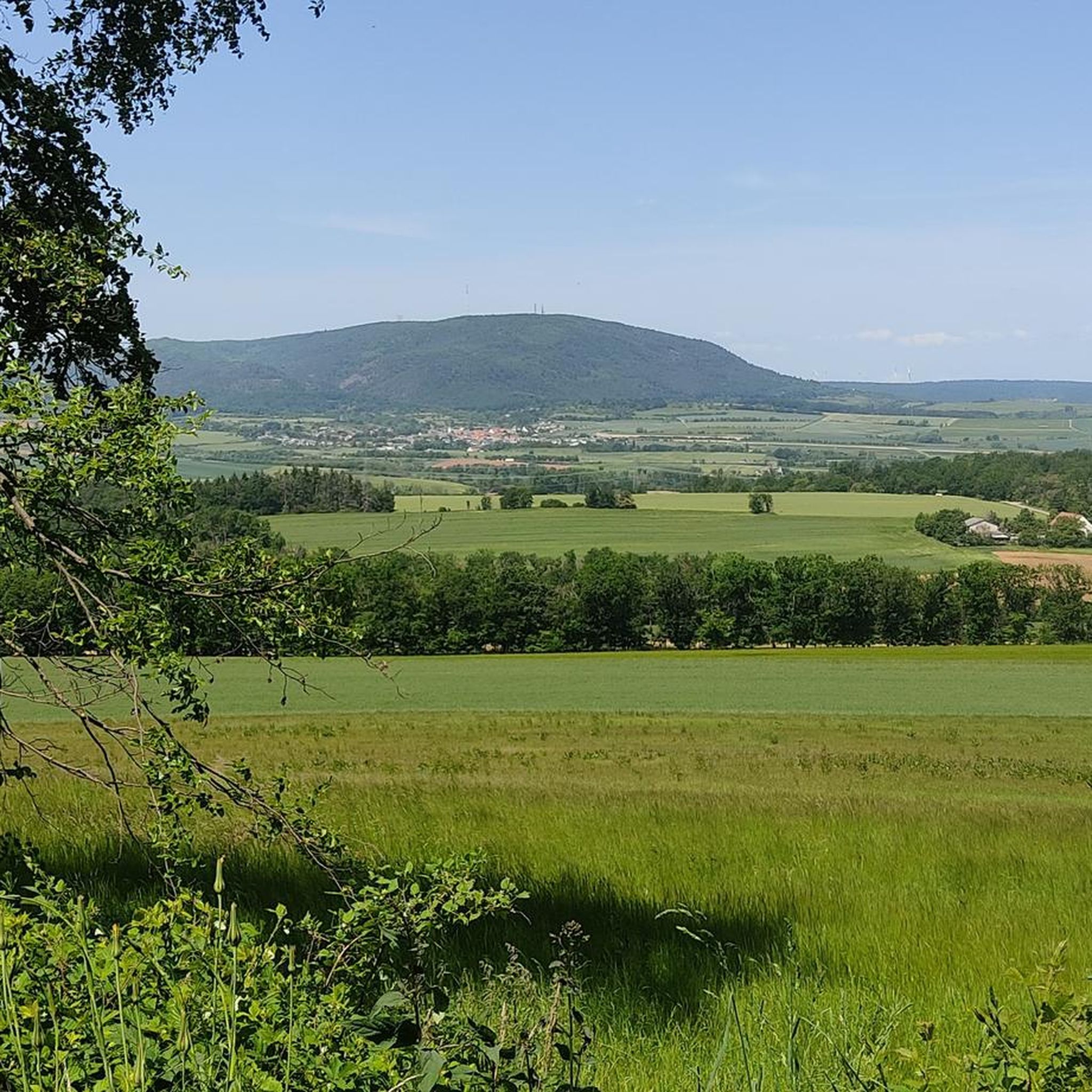
very nice far view
0
0
beautiful old building :-)
0
0

The Eiswoog (often also referred to as Eiswoogsee) is a picturesque reservoir of approximately 2.7 hectares in the northern Palatinate Forest, more precisely in the wooded Stumpfwald near the municipality of Ramsen. The body of water is fed by the Eisbach – regionally also affectionately called „die Eis“ – whose name historically derives from the region's rich iron ore deposits. Contrary to popular myths, the lake's name therefore has nothing to do with frozen water. Originally formed as a natural lake, in the Middle Ages, the nuns of the Ramosa monastery further dammed the stream as a fishpond. Later, in 1812, the famous ironworks owner Ludwig von Gienanth acquired the lake to secure the water power supply for his downstream ironworks and mills, even during dry periods. To this day, the body of water remains privately owned by the Gienanth entrepreneurial family. Nowadays, the Eiswoog has developed into one of the most popular natural and excursion destinations in West and Vorderpfalz. Directly on the historic dam lies the well-known hotel-restaurant [„Seehaus Forelle“](1.1.6, 1.4.4), which is appreciated for its regional fish specialties. Around the body of water runs a roughly three-kilometer-long, barrier-free nature trail with interactive stations and a wooden viewing platform that juts out flat into the lake. To protect the sensitive ecosystem and the local fish farming – the lake serves, among other things, as a habitat for the rare kingfisher – private swimming and boating are now strictly forbidden.
10
0

Fun wild boar sculptures decorating the village square, a cute quick photo stop for the kids or animal lovers.
0
0

beautiful cycle path to Ramsen
0
0
Frequently Asked Questions
How many touring cycling routes are available around Göllheim?
There are over 25 touring cycling routes around Göllheim, offering diverse experiences for all skill levels. These routes are highly rated by the komoot community, with an average score of 4.9 stars.
What are the difficulty levels of touring cycling routes in Göllheim?
The routes around Göllheim cater to various skill levels. You'll find a good mix, with 13 easy routes perfect for a relaxed ride, 12 moderate routes for those seeking a bit more challenge, and one difficult route for experienced cyclists looking for significant elevation gain, such as the Dreisen — Former Railway Station – View of the Donnersberg loop from Göllheim.
Are there any family-friendly touring cycling routes in Göllheim?
Yes, Göllheim offers several family-friendly options. Many of the 13 easy routes are suitable for families, often featuring gentle inclines. The Zellertal Cycle Path, mentioned in the region research, is also ideal for families and everyday cyclists, meandering through vineyards and charming villages.
Can I bring my dog on the cycling routes around Göllheim?
While specific dog-friendly designations for cycling routes aren't always explicit, many paths in the natural areas around Göllheim, especially those away from busy roads, are generally suitable for cycling with a well-behaved dog on a leash. Always be mindful of other users and local regulations, particularly in nature reserves or agricultural areas.
Are there circular touring cycling routes available?
Yes, many of the touring cycling routes around Göllheim are designed as loops, allowing you to start and end at the same point. Examples include the easy Kriegsberg Hut (PWV Göllheim) – Trail to Kriegsberghütte loop from Göllheim and the moderate Cycle Path to Immesheim – Lochmühle loop from Göllheim.
What kind of natural features or scenic viewpoints can I expect on the routes?
Göllheim's routes offer a variety of natural beauty. You can expect rolling hills, vineyard-laced valleys, and dense forests. Highlights include the majestic Donnersberg, the highest mountain in Rhineland-Palatinate, offering panoramic views from its summit, the Königsstuhl. The Adlerbogen Viewpoint provides stunning vistas eastward over the Zellertal and Worms to the Odenwald, framed by a distinctive eagle arch.
Are there any historical sites or landmarks to see along the cycling routes?
Yes, the region around Göllheim is rich in historical and interesting landmarks. You might encounter the impressive ruins of Falkenstein Castle, or the Iron Gate. Some routes also pass by former railway lines, offering a glimpse into the area's past.
Where can I park my car when cycling in Göllheim?
Göllheim, as a central point for many routes, offers various parking options. Look for designated parking areas within the town or at the start points of popular trails. Many villages along the Zellertal and Pfälzer Land Cycle Paths also provide parking facilities, making it convenient to access the routes.
Is public transport an option for accessing cycling routes in Göllheim?
Yes, public transport can be an option. Göllheim is generally accessible by local bus services, and some regional trains allow bikes, especially on routes like the Zellertal Cycle Path which connects to the Rhine in Worms. It's advisable to check specific train and bus schedules and bike carriage policies in advance.
What is the best time of year to go touring cycling in Göllheim?
The best time for touring cycling in Göllheim is typically from spring to autumn (April to October). During these months, the weather is generally mild and pleasant, ideal for enjoying the vineyards, forests, and scenic views. Spring brings blooming landscapes, while autumn offers vibrant fall colors and the grape harvest season in the Zellertal.
Are there places to eat or drink along the cycling routes?
Yes, you'll find various opportunities for refreshments. Many routes pass through charming villages in the Zellertal where you can find local cafes, pubs, and restaurants. For example, the easy Kriegsberg Hut (PWV Göllheim) – Trail to Kriegsberghütte loop from Göllheim leads directly to the Kriegsberghütte, a popular spot for a break.
What makes touring cycling in Göllheim unique?
Touring cycling in Göllheim is unique due to its diverse landscape at the foot of the Donnersberg, combining rolling hills, picturesque vineyard-laced valleys of the Zellertal, and dense forests of the Pfälzerwald. The region's volcanic rock formations and the Pfrimm river add to its distinct character, offering a varied and engaging cycling experience.
What do other cyclists say about the routes in Göllheim?
The touring cycling routes in Göllheim are highly regarded by the komoot community, boasting an impressive average score of 4.9 stars from over 80 reviews. Cyclists frequently praise the varied terrain, the beautiful views of the Donnersberg, and the well-maintained paths that cater to different ability levels.
Are there any routes that pass by lakes or water bodies?
Yes, some routes will take you past beautiful water features. For instance, the moderate Lake Eiswoog and Viaduct – Eistal Viaduct (Eistalviadukt) loop from Göllheim offers views of the scenic Eiswoog, a lovely lake that provides opportunities for relaxation.
Most popular attractions around Göllheim

Get inspired with the komoot mobile app


Explore more
Browse the best Cycling routes in other regions.
