The best walks and hikes in Czarny Las
4.7
(74)
418
hikers
31
hikes
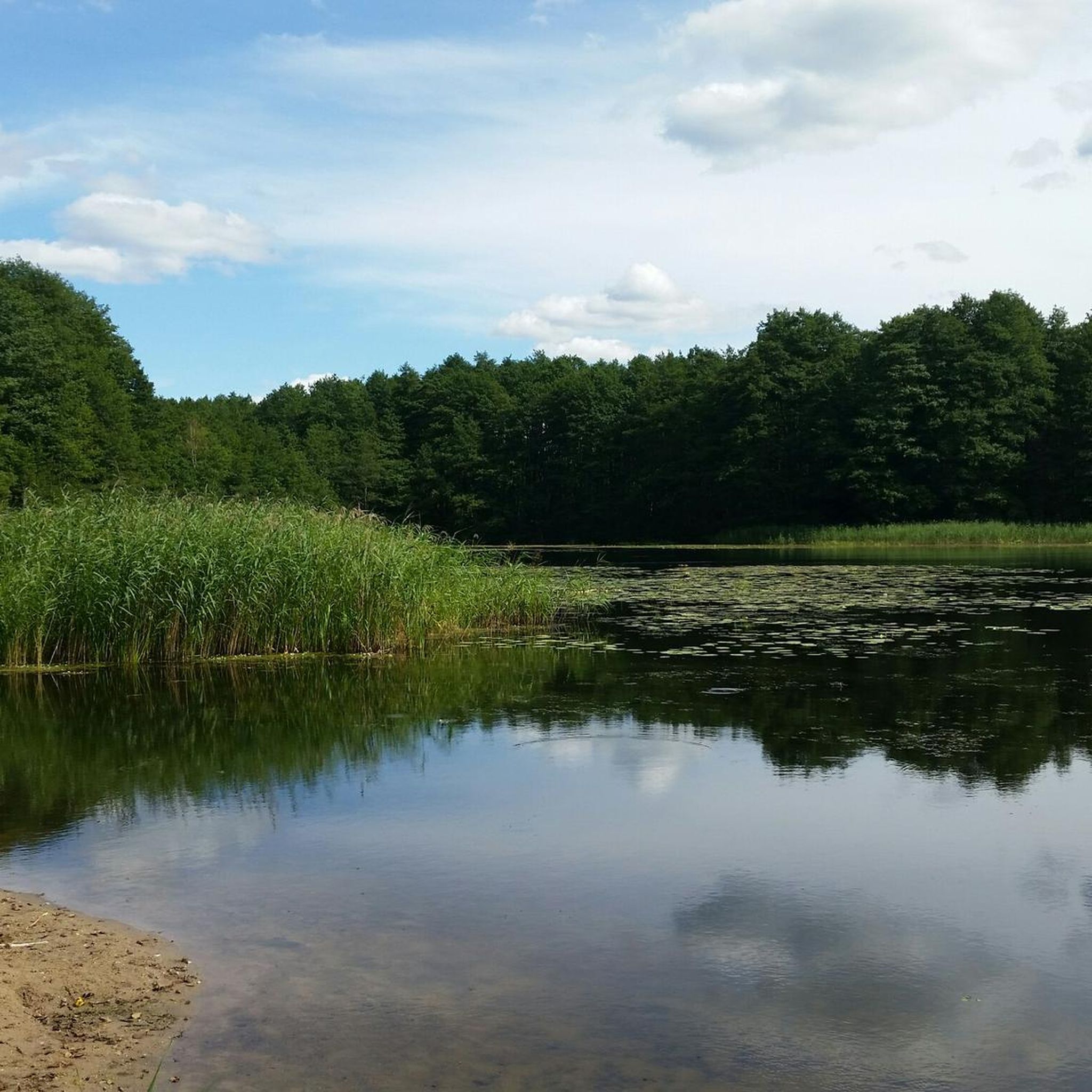
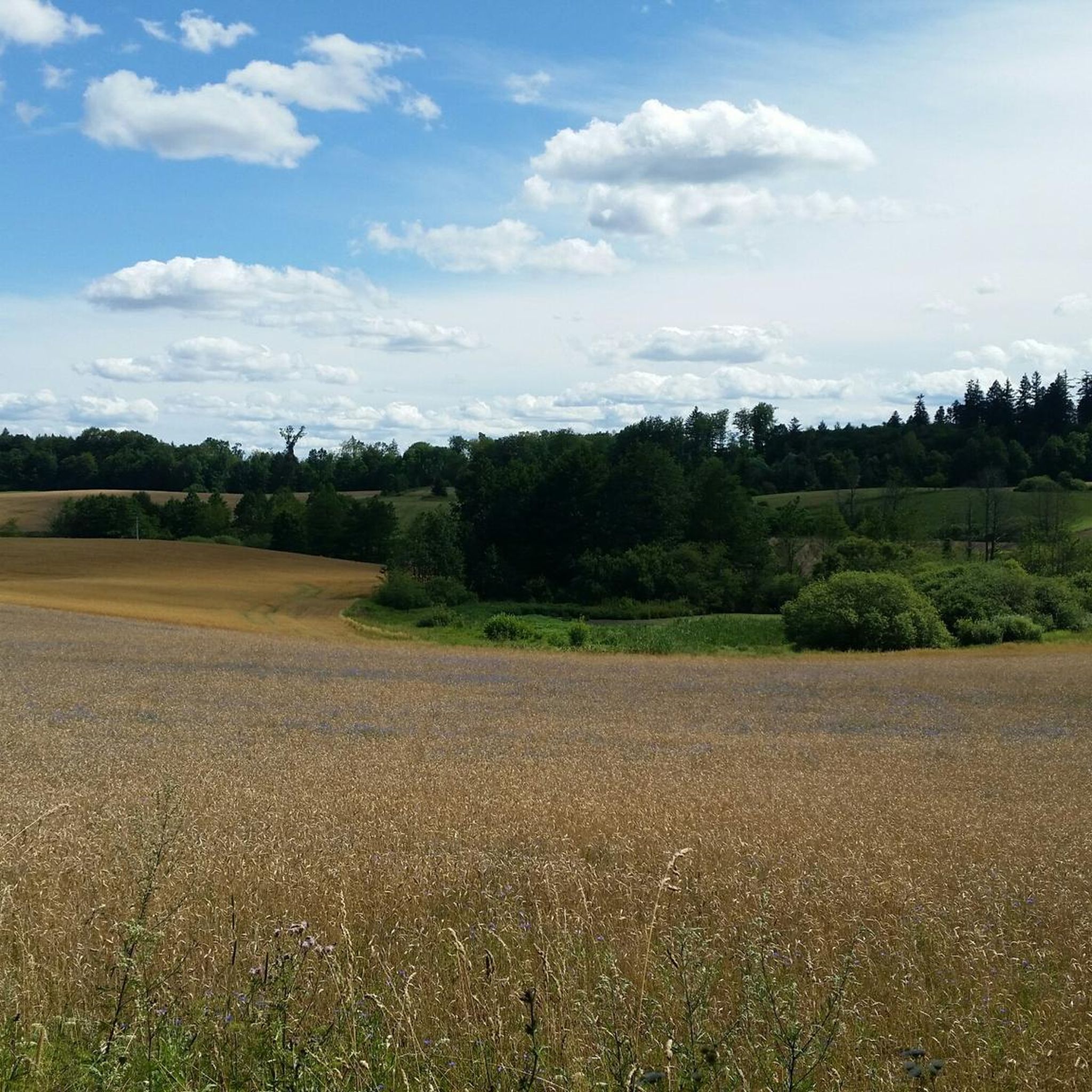
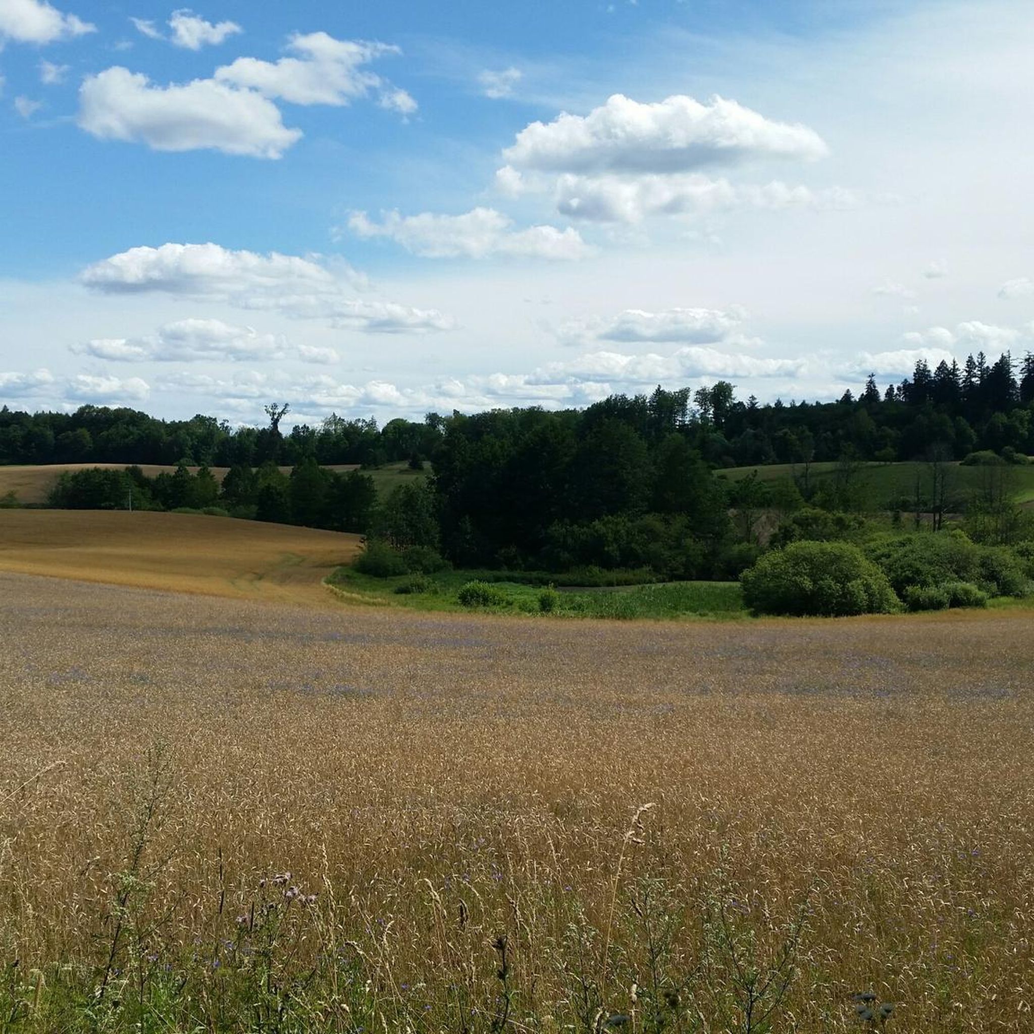
Hiking trails in Czarny Las are primarily characterized by dense woodlands and a network of paths that often follow natural water features like rivers and lakes. The region, located in powiat olsztyński, offers varied terrain suitable for different hiking abilities. Elevation changes are generally moderate, with routes traversing gentle slopes and forested areas.
Best hiking trails in Czarny Las
- The most popular hiking route is Nonexistent Mill – Ave Maria Shrine in Bukwałd loop from Barkweda, a 4.3 miles…
Last updated: October 12, 2026
2
hikers
7.21km
01:55
80m
80m
Easy hike. Great for any fitness level. Easily-accessible paths. Suitable for all skill levels.
4.8
(13)
34
hikers
8.14km
02:10
90m
90m
Moderate hike. Good fitness required. Easily-accessible paths. Suitable for all skill levels.

6
hikers
4.81km
01:17
60m
60m
Easy hike. Great for any fitness level. Easily-accessible paths. Suitable for all skill levels.
4.5
(23)
105
hikers
Moderate hike. Good fitness required. Easily-accessible paths. Suitable for all skill levels.
4.9
(8)
25
hikers
6.89km
01:51
80m
80m
Easy hike. Great for any fitness level. Easily-accessible paths. Suitable for all skill levels.
Get access to more routes and recommendations from other explorers.
Already have an account?
Our route recommendations are based on thousands of hikes, rides, and runs completed by other people on komoot.
Start today with a free account
Your next adventure awaits.
Tips from the Community

A chapel in the village of Łupstych
0
0
Olsztyn Sports Walk of Fame
0
0
A Warmia cottage made of wood in the village of Łupstych
0
0
A chapel on private property.
0
0

Very beautiful building. You only have to walk a few meters down the main path into the cul-de-sac to admire it. 😉😀
0
0

Smooth asphalt north and difficult gravel south of the bridge.
0
0

Lovely place
0
0

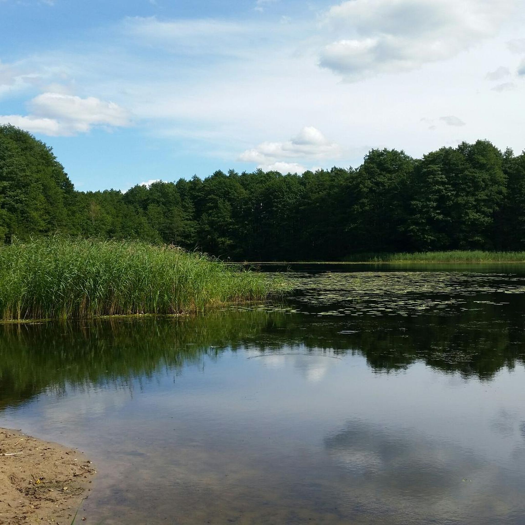
A small communal beach on the western shore of Lake Krzywe
1
0
Frequently Asked Questions
How many hiking trails are available in Czarny Las?
Czarny Las offers over 30 hiking trails, catering to various skill levels. The majority of these, 18 routes, are classified as easy, making the area accessible for many hikers.
Are there easy hiking trails suitable for beginners in Czarny Las?
Yes, Czarny Las is very welcoming for beginners. There are 18 easy trails available. A good option for a gentle introduction is the Karaśnik Lake loop from Brąswałd, which is 3.0 miles (4.8 km) and takes about 1 hour 17 minutes through pleasant woodlands.
Can I find circular hiking routes in Czarny Las?
Many of the trails in Czarny Las are designed as circular routes, allowing you to start and end at the same point. For example, the Nonexistent Mill – Ave Maria Shrine in Bukwałd loop from Barkweda is a popular circular option, offering a gentle path through forested areas.
Are the hiking trails in Czarny Las suitable for families with children?
Yes, Czarny Las has many family-friendly options, especially among its 18 easy trails. The moderate elevation changes and well-defined paths through woodlands and along lakes make them suitable for families. Consider routes that are shorter in distance and duration for younger children.
Are dogs allowed on the hiking trails in Czarny Las?
Generally, dogs are welcome on trails in Czarny Las, especially given the natural, forested environment. However, it's always recommended to keep them on a leash, especially near wildlife or other hikers, and to clean up after them. Check specific trail regulations if posted.
What kind of scenery can I expect while hiking in Czarny Las?
Hiking in Czarny Las is characterized by dense woodlands, often following natural water features like rivers and lakes. You'll encounter gentle slopes, forested areas, and views of the Łyna River and its floodplains on routes like the Łyna River Dam – Floodplain loop from Gutkowo.
What is the best time of year to go hiking in Czarny Las?
The best time for hiking in Czarny Las is typically from spring through autumn (April to October). During these months, the weather is generally mild, and the natural scenery, from lush greenery to vibrant autumn colors, is at its most appealing. Winter hiking is possible but requires appropriate gear.
What should I know about winter hiking in Czarny Las?
Winter hiking in Czarny Las can be beautiful, with snow-covered forests. However, trails may be icy or covered in snow, so proper winter hiking boots with good grip, warm layered clothing, and potentially trekking poles are essential. Always check local weather conditions before heading out.
Where can I find parking for hiking trails in Czarny Las?
Parking availability varies by trailhead. Many routes, especially those starting from villages or popular recreational areas like Gutkowo or Brąswałd, will have designated parking spots or roadside parking. It's advisable to check the starting point of your chosen route on komoot for specific parking information.
Are there any cafes or places to eat near the hiking trails?
While the trails themselves are primarily through natural areas, you can often find cafes or small eateries in the nearby villages and towns, such as Gutkowo, Barkweda, or Brąswałd, which serve as common starting points for hikes. It's a good idea to plan your refreshment stops before or after your hike.
What do other hikers say about their experience in Czarny Las?
The hiking experience in Czarny Las is highly rated by the komoot community, with an average score of 4.6 stars from over 50 reviews. Hikers often praise the quiet woodlands, the well-maintained paths, and the serene atmosphere around the lakes and rivers.
Are there any longer or more challenging routes for experienced hikers?
While most trails are easy to moderate, Czarny Las does offer some longer options. For example, the Gutkowo Beach – Pier on Lake Krzywe loop from Olsztyn Gutkowo is a moderate 11.9 miles (19.2 km) route that provides a more extended challenge, taking around 5 hours to complete.
How can I find trails that follow water features like rivers or lakes?
Many trails in Czarny Las naturally incorporate water features. To find them, look for routes with 'Lake' or 'River' in their description or name. The Embankment on the Łyna River – Floodplain loop from Redykajny is a good example, offering views along the Łyna River.
Most popular routes in Czarny Las

Get inspired with the komoot mobile app


Explore more
Browse the best Hikes in other regions.
