The best MTB trails around Goldwörth
4.5
(1139)
6,666
riders
346
rides
Mountain biking around Goldwörth offers routes through the Danube river valley and into the surrounding rolling hills. The region features a mix of riverside paths, agricultural lands, and forested sections. Elevations are generally moderate, with some routes including longer climbs into higher terrain.
Best mountain bike trails around Goldwörth
- The most popular mountain bike trail is Walding Zoo – Panoramic View from Limberg loop from Feldkirchen an der Donau, a 26.5 miles (42.6 km) trail that takes 3 hours…
Last updated: October 25, 2026
4.8
(66)
272
riders
Moderate mountain bike ride. Good fitness required. Advanced riding skills necessary.
5.0
(92)
26
riders
Easy mountain bike ride.

3.0
(1)
15
riders
31.0km
02:17
550m
550m
Moderate mountain bike ride. Good fitness required.
5.0
(1)
12
riders
Easy mountain bike ride.
8
riders
Moderate mountain bike ride. Good fitness required.
Get access to more routes and recommendations from other explorers.
Already have an account?
Our route recommendations are based on thousands of hikes, rides, and runs completed by other people on komoot.
Start today with a free account
Your next adventure awaits.


Tips from the Community

dasparkhotel is an inexpensive option (by free donation) for sheltered accommodation during the night. It consists of repurposed, robust, standardized sewer pipes. Externally kept simple, they offer unexpectedly great comfort inside: full standing height, double bed, storage space, light, electricity, wool blankets, and sleeping bags. Info and booking: https://dasparkhotel.net/
0
0

Café Casagrande is no longer directly associated with the bakery
0
0
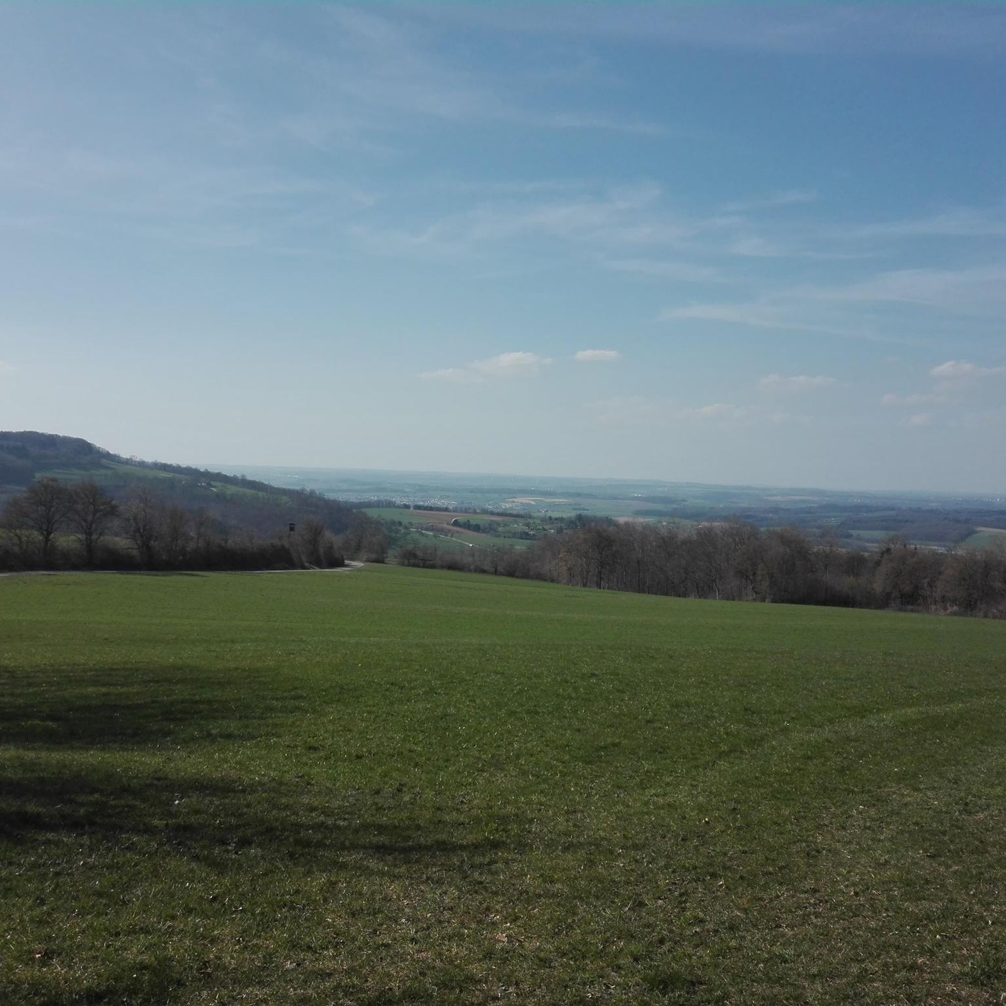
Blick zur Ruine Rottenegg
0
0

We enjoyed the ferry ride.
4
0

Ottensheim Castle was founded by the high-free Wilheringers.
9
1

Ottensheim-Wilhering Power Plant and Lock! This impressive facility on the Danube plays an important role in energy generation and shipping. Here are some interesting aspects: ### General Information - **Location**: The power plant and lock are located in the municipality of **Wilhering** in **Upper Austria**. - **Year of Construction**: The power plant was built from **1970 to 1975** and is a run-of-river power plant. ### Technical Features 1. **Lock**: - The lock has **two lock chambers** measuring **230 × 24 m**. - It allows ships to pass through and overcomes the height difference in the river. 2. **Power Plant**: - The power plant has an **capacity** of approximately **30 MW** and uses the current of the Danube to generate electricity. - It is part of a project with **72 million euros** being invested to ensure the lifespan and efficiency of the power plant for another **50 years**. 3. **Water level**: - The river dam length is **16 km**, and the dam target is at an altitude of approximately **250 m**. ### Significance - **Energy generation**: The power plant contributes significantly to the region's electricity supply and is an important component of renewable energy sources in Austria. - **Shipping**: The lock is a central point for inland navigation on the Danube, enabling the transport of goods and passengers. ### Summary The **Ottensheim-Wilhering power plant and lock** are not only technical masterpieces, but also crucial elements for the energy supply and shipping in the region. A visit to this facility offers exciting insights into the world of hydropower and engineering! ✨
2
0

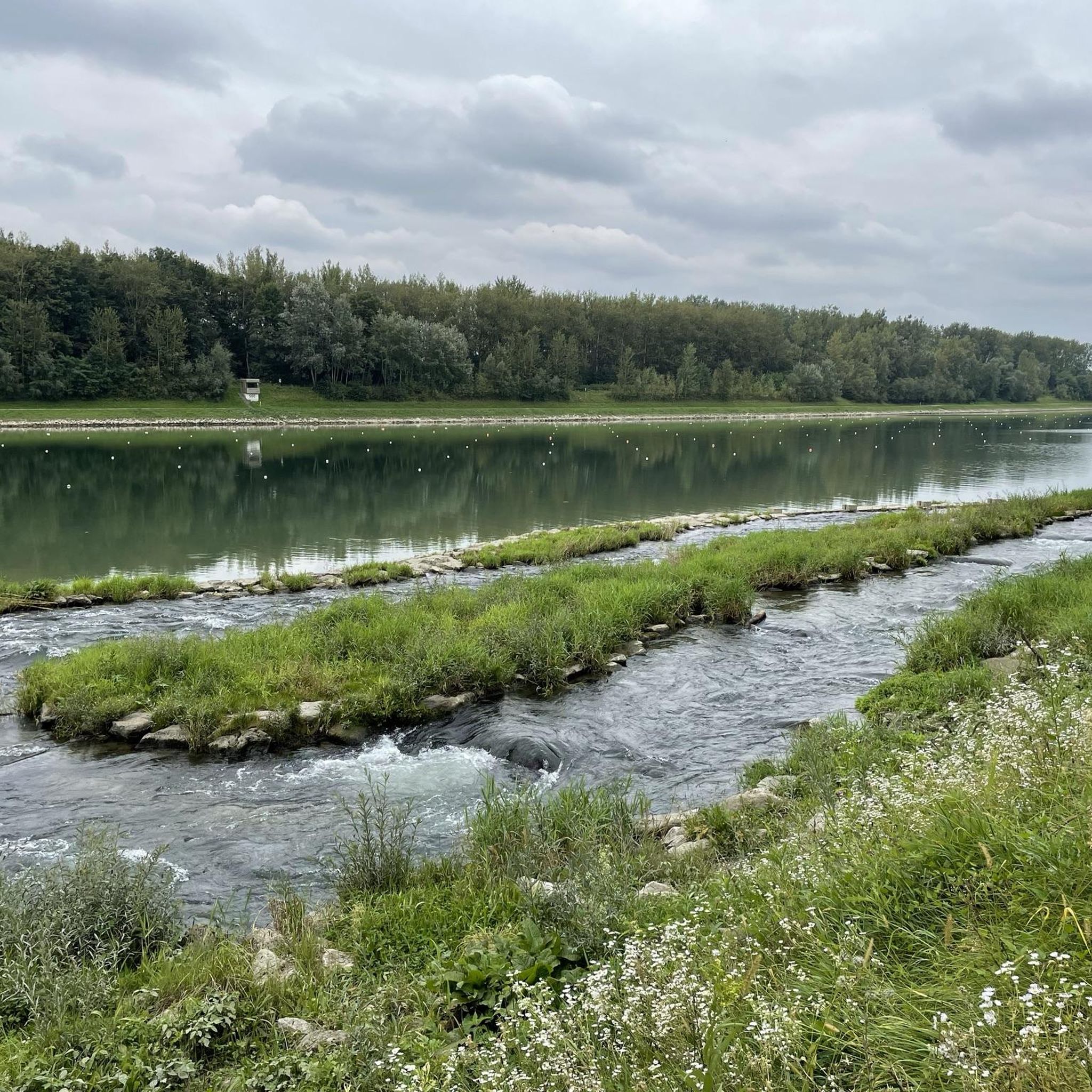
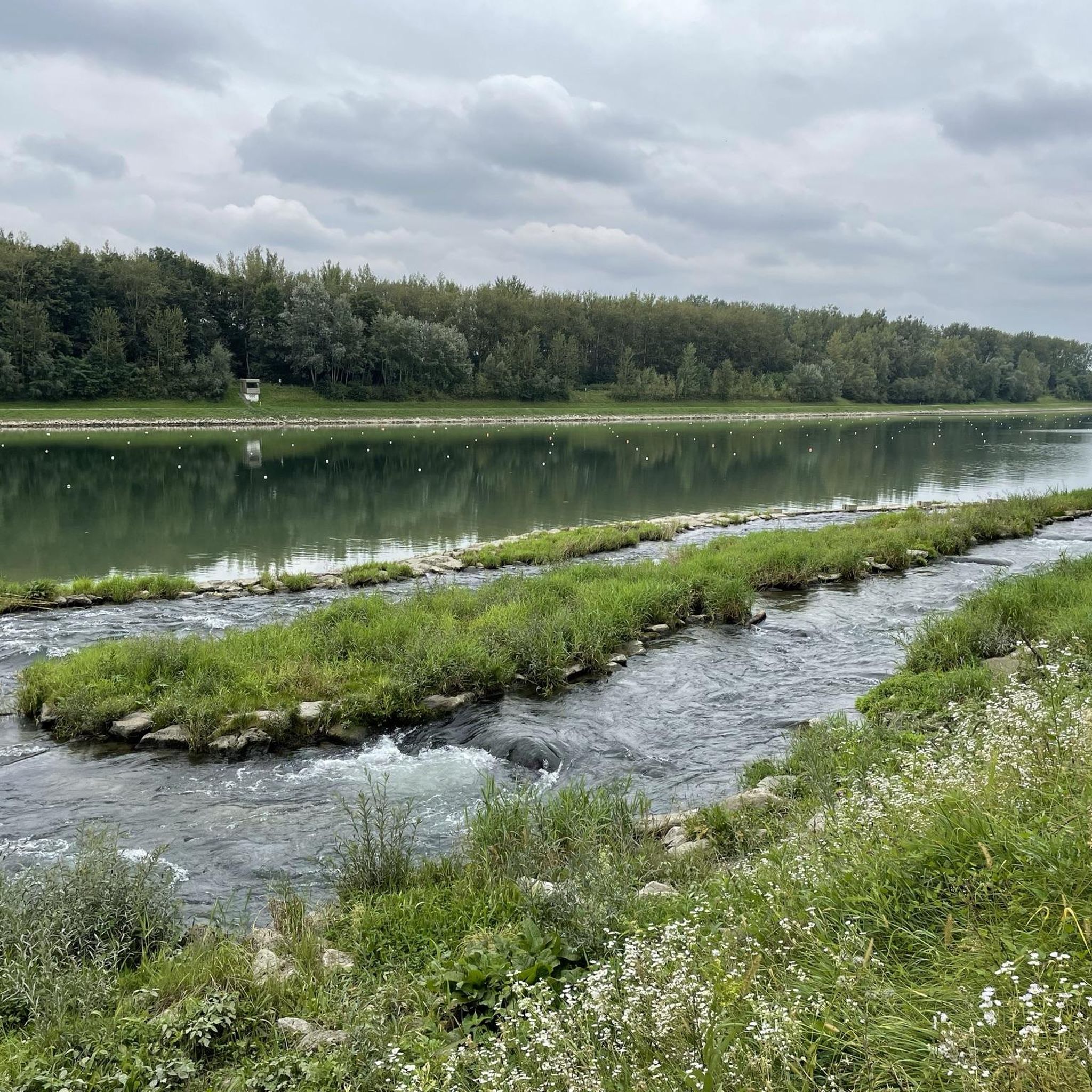
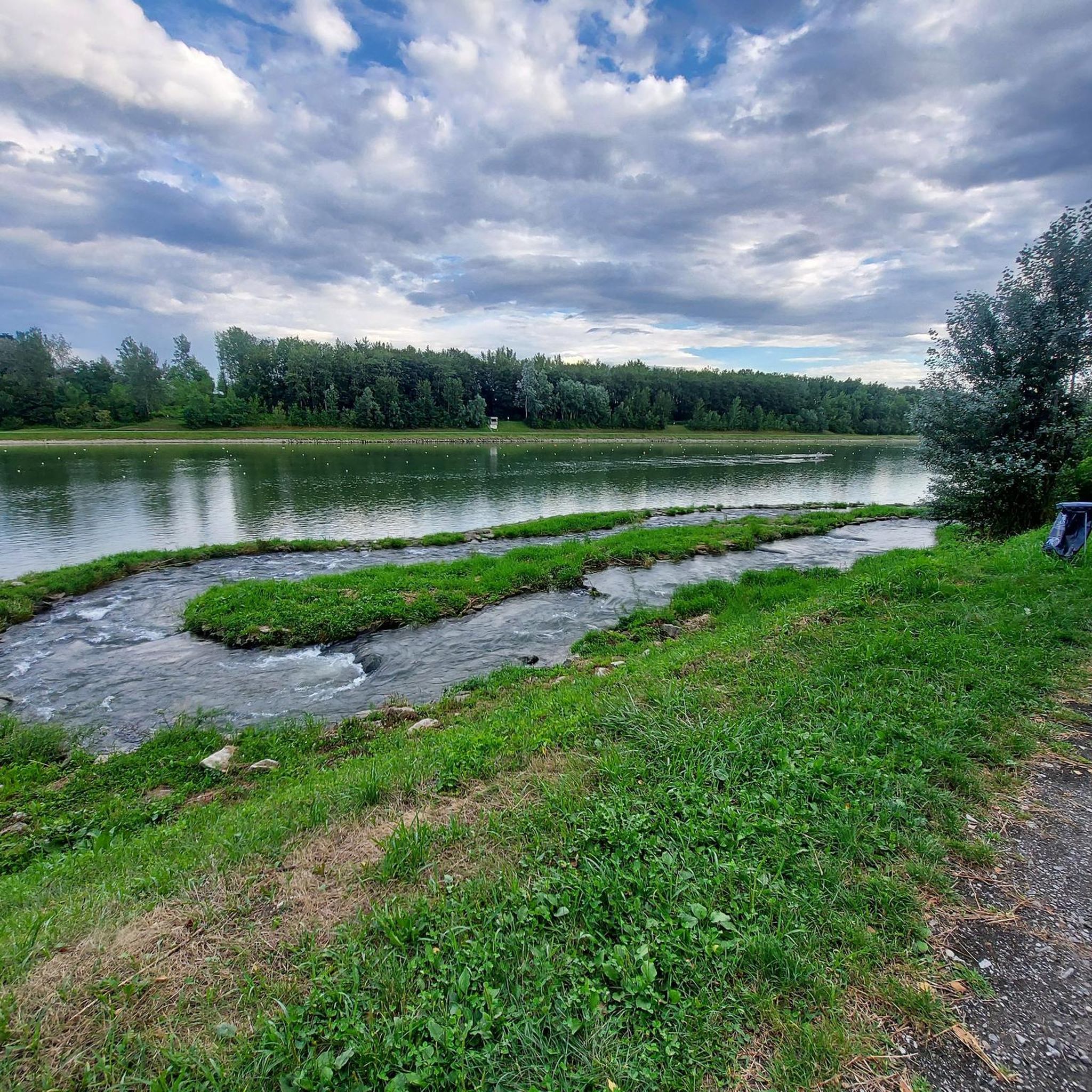
On the left you can see the inflow of the Ofenwasser (which had dried up at the time of the photo). Another 500m downstream the Innbach finally flows into the Danube.
1
0

Frequently Asked Questions
How many mountain bike trails are available around Goldwörth?
There are over 360 mountain bike trails around Goldwörth listed on komoot. This includes a wide range of options, with 85 easy routes, 225 moderate routes, and 53 difficult routes.
Are there mountain bike trails suitable for beginners or families in Goldwörth?
Yes, Goldwörth offers numerous easy mountain bike trails perfect for beginners and families. Many of these routes follow the Danube riverbanks, providing gentle terrain. An excellent option is the Ottensheim Castle – Ottensheim Regatta Course loop from Ottensheim, which is 9.4 miles (15.1 km) long and features riverside paths and historic sites.
What kind of terrain can I expect on mountain bike trails in Goldwörth?
Mountain biking around Goldwörth offers a diverse landscape. You'll find routes through the Danube river valley, along riverside paths, across agricultural lands, and into surrounding rolling hills with forested sections. Elevations are generally moderate, though some routes include longer climbs into higher terrain.
Are there any loop mountain bike trails in Goldwörth?
Yes, many mountain bike trails in Goldwörth are designed as loops, allowing you to start and finish at the same point. For example, the Walding Zoo – Panoramic View from Limberg loop from Feldkirchen an der Donau is a popular 26.5-mile (42.6 km) loop offering panoramic views.
What are some scenic mountain bike routes with good viewpoints in the Goldwörth area?
For scenic views, consider routes that climb into the rolling hills. The Walding Zoo – Panoramic View from Limberg loop from Feldkirchen an der Donau is known for its panoramic views from Limberg. Other routes through forested sections and higher terrain often provide picturesque vistas of the Danube valley and surrounding landscapes.
What do other mountain bikers enjoy most about Goldwörth?
The area is highly rated by the komoot community, with an average score of 4.6 stars from over 900 reviews. Mountain bikers often praise the varied terrain, which includes pleasant riverside paths, challenging climbs in the rolling hills, and the well-maintained network of trails suitable for different skill levels.
Are there any natural attractions or landmarks to see along the mountain bike trails?
Yes, the region around Goldwörth offers several natural attractions and landmarks. You might encounter natural monuments like Kerzenstein or Pilgrims' Cross on the Kürnberg summit. There are also beautiful lakes such as the Brandstatt Danube Harbor and Lake or the Feldkirchner Lakes, which can be found near some routes.
What is the typical length and duration of mountain bike trails in Goldwörth?
Trail lengths and durations vary significantly. Easy routes, like the Ottensheim Castle – Ottensheim Regatta Course loop from Ottensheim, can be around 9.4 miles (15.1 km) and take about 50 minutes. More moderate trails, such as the Walding Zoo – Parish Church of Gramastetten loop from Goldwörth, are about 19.3 miles (31.0 km) and typically take over 2 hours. Longer, more challenging routes can extend over 25 miles and require 3 hours or more.
Are there any advanced mountain biking options in the Goldwörth area?
Yes, for more experienced mountain bikers seeking a challenge, there are 53 difficult routes available. These trails often feature more significant elevation gains and technical sections in the rolling hills surrounding the Danube valley. You can find routes with over 700 meters of elevation gain, providing a demanding ride.
When is the best time of year for mountain biking in Goldwörth?
The best time for mountain biking in Goldwörth is generally from spring through autumn, roughly April to October. During these months, the weather is typically mild, and trail conditions are most favorable. While some trails may be accessible in winter, conditions can be variable due to snow or ice, especially in higher elevations.
Are there any mountain bike trails that pass by cafes or places to stop for refreshments?
Many routes in the Goldwörth area pass through or near villages and towns along the Danube or in the surrounding hills, where you can often find cafes or restaurants. While specific routes aren't highlighted for cafes, planning your ride through places like Ottensheim or Feldkirchen an der Donau will likely offer opportunities for refreshments.
Where can I find parking or trailheads for mountain biking in Goldwörth?
Trailheads are often located in or near towns and villages surrounding Goldwörth, such as Feldkirchen an der Donau, Ottensheim, or directly in Goldwörth. Parking is generally available in these areas, often near public spaces or designated parking lots. It's advisable to check the specific route details on komoot for recommended starting points and parking information.
Most popular attractions around Goldwörth

Get inspired with the komoot mobile app


Explore more
Browse the best MTB trails in other regions.
