The best running trails in Geyrischer Wald
4.6
(62)
613
runners
49
runs
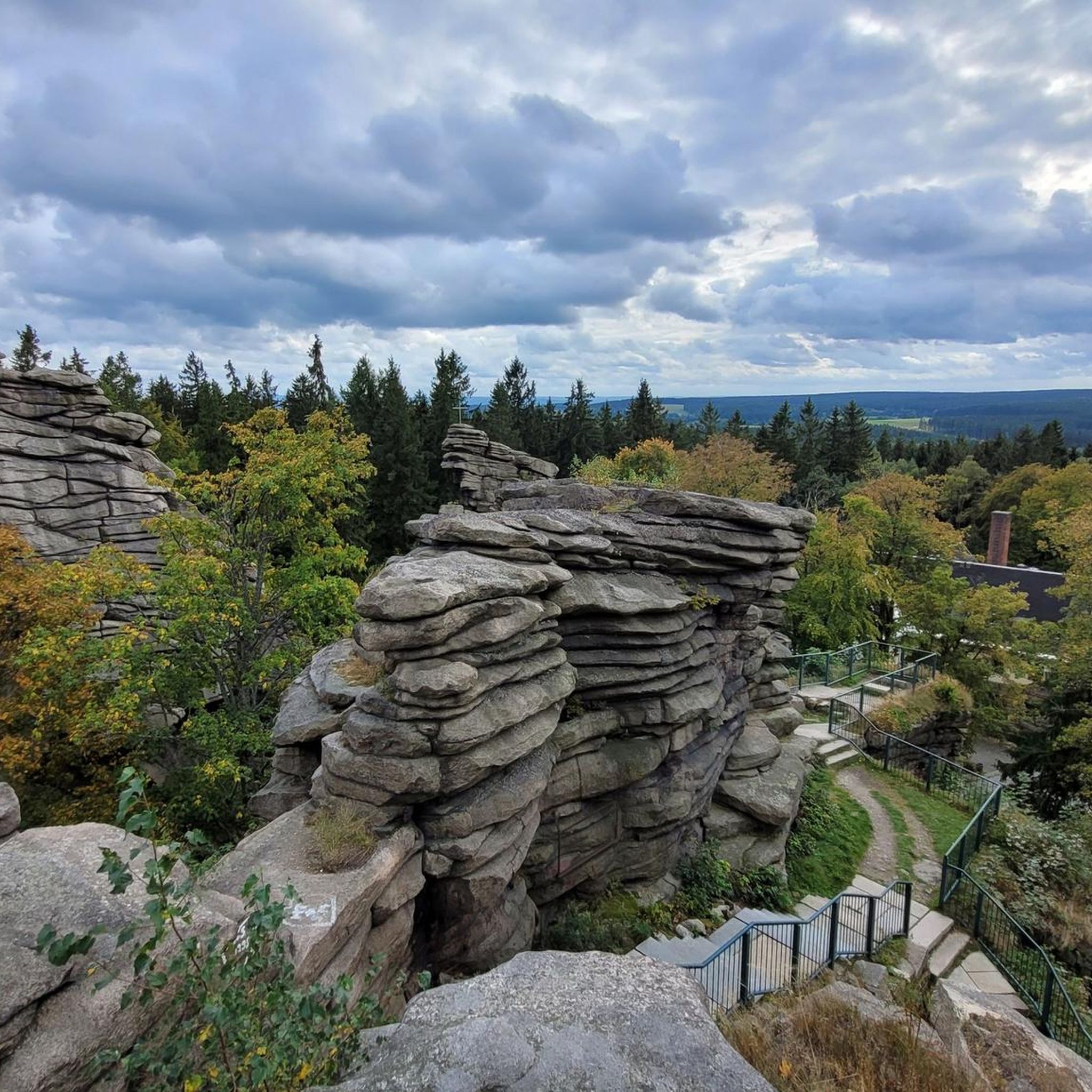
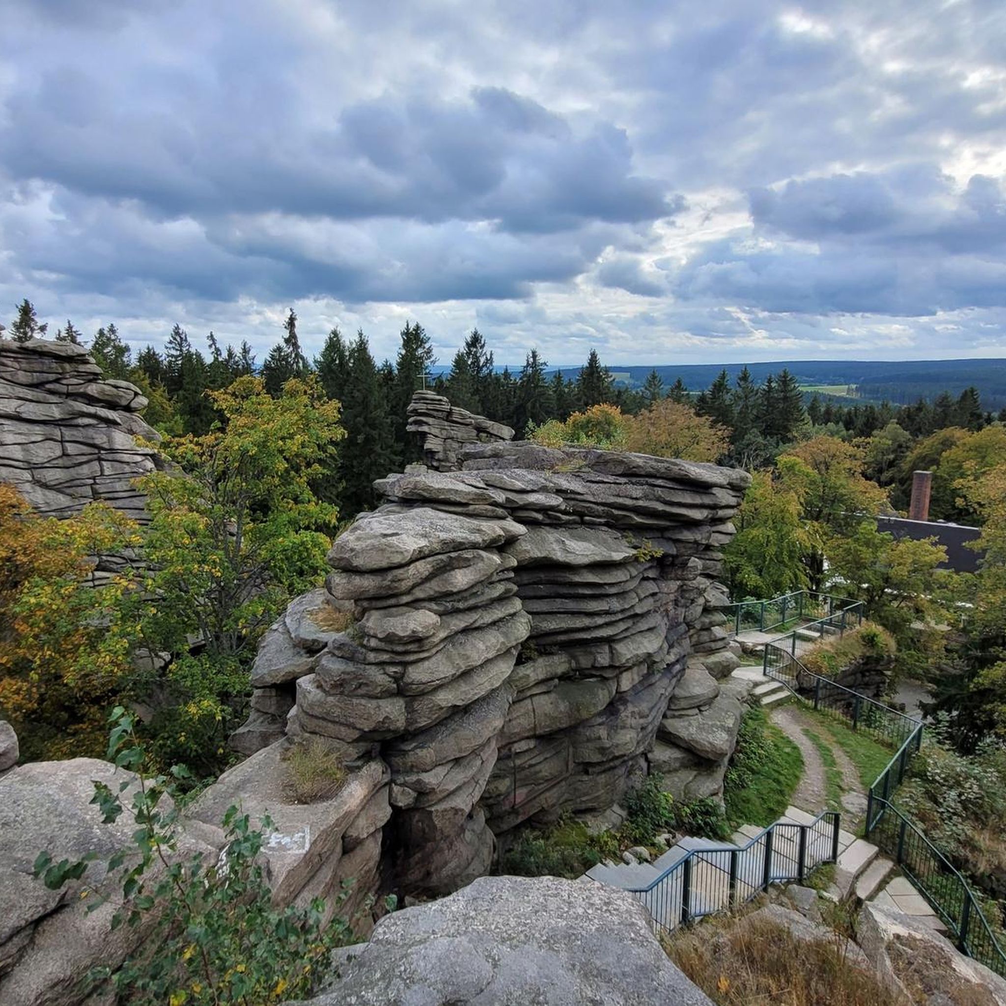
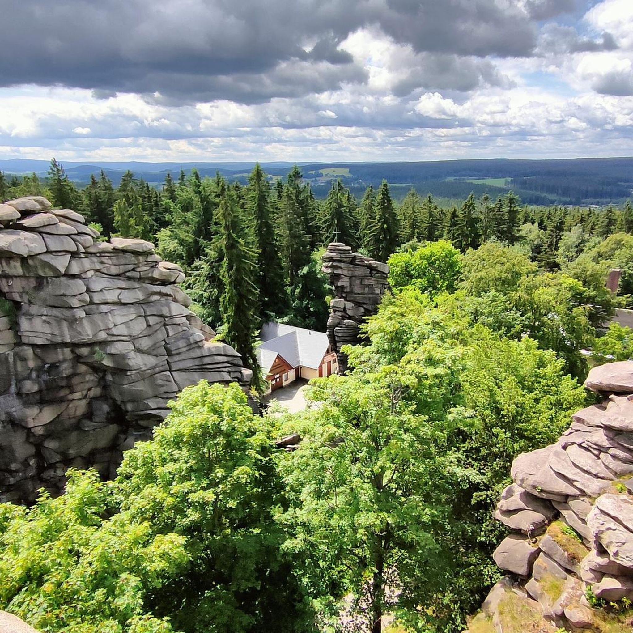
Jogging routes in Geyrischer Wald traverse a contiguous forest area of approximately 65 km² in the Central Ore Mountains, characterized by the undulating Geyersche Hochfläche. The region features dense forest landscapes and varied terrain, offering a picturesque backdrop for outdoor activities. Prominent natural highlights include the Greifensteine, a formation of distinctive granite cliffs, and routes often follow water bodies like the Geyrischer Teich. This extensive trail network provides diverse environments for running, from flat paths to more challenging routes.
Best…
Last updated: September 28, 2026
4.2
(13)
122
runners
Easy run. Great for any fitness level. Mostly paved surfaces. Suitable for all skill levels.
4.4
(8)
46
runners
8.74km
00:55
70m
70m
Moderate run. Good fitness required. Mostly paved surfaces. Suitable for all skill levels.

3.3
(3)
22
runners
Moderate run. Good fitness required. Mostly paved surfaces. Suitable for all skill levels.
5.0
(2)
24
runners
Easy run. Great for any fitness level. Mostly paved surfaces. Suitable for all skill levels.
5.0
(1)
17
runners
10.4km
01:06
90m
90m
Moderate run. Good fitness required. Mostly paved surfaces. Suitable for all skill levels.
Get access to more routes and recommendations from other explorers.
Already have an account?
Our route recommendations are based on thousands of hikes, rides, and runs completed by other people on komoot.
Start today with a free account
Your next adventure awaits.
Popular around Geyrischer Wald
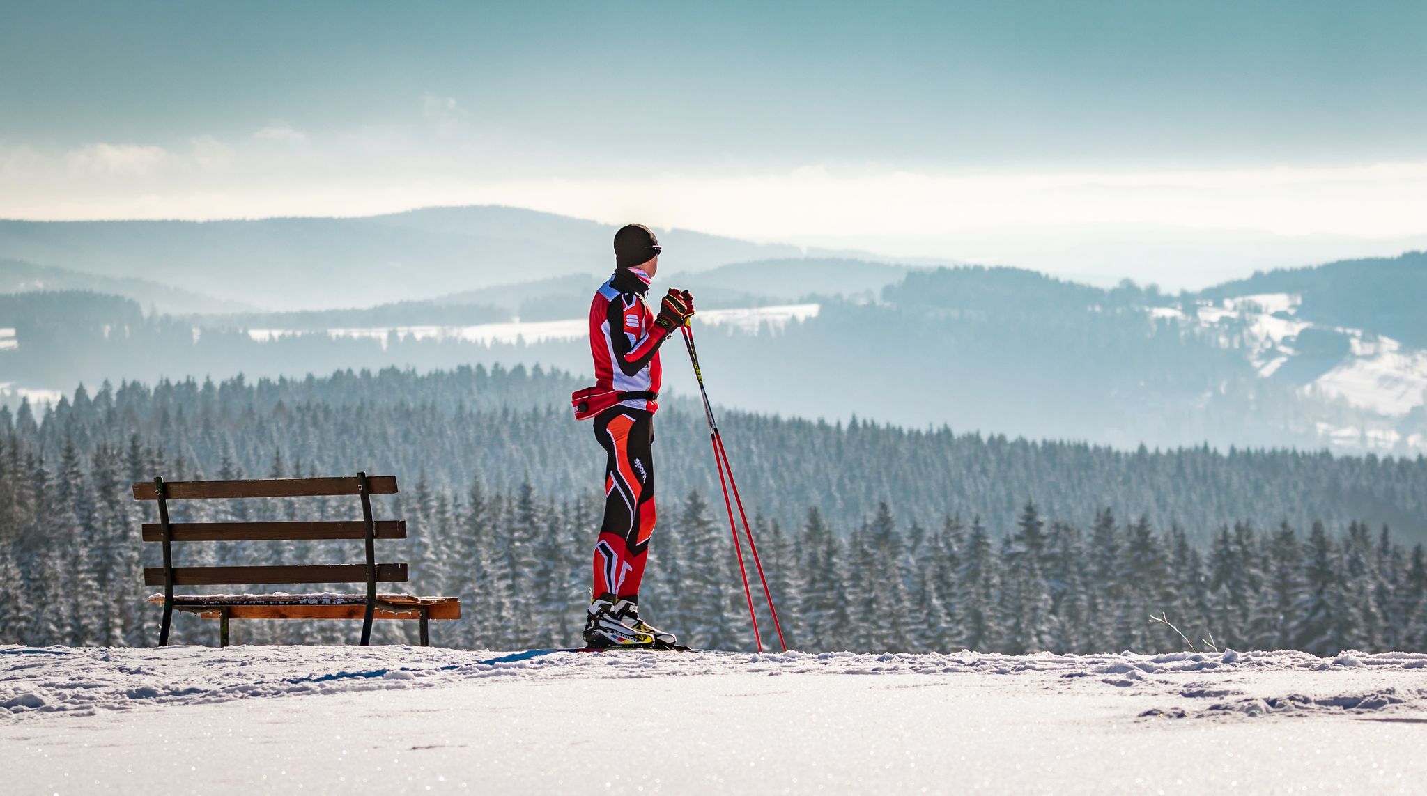
Let it flow! Cross-country skiing in the Ore Mountains
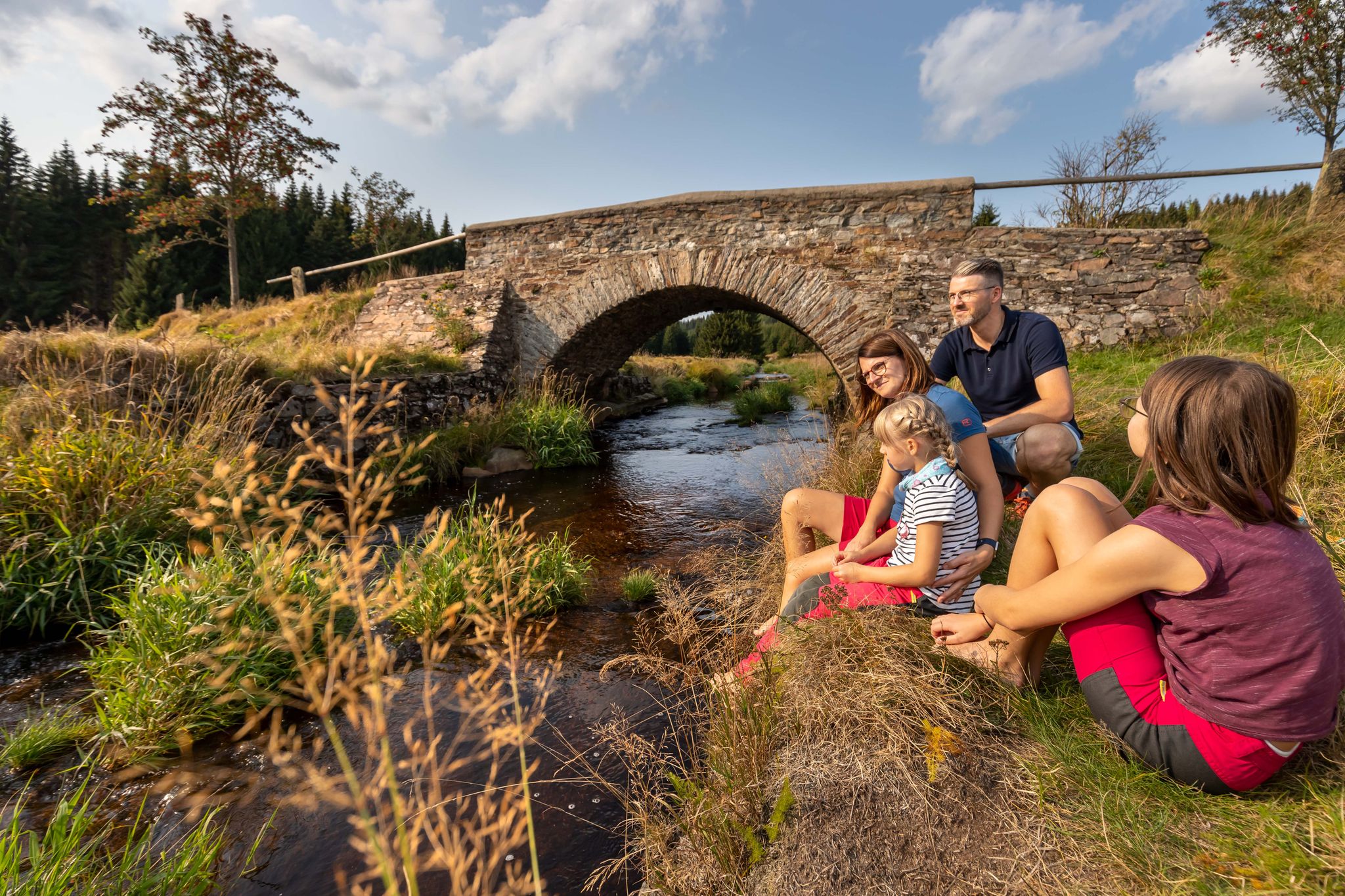
Wandertouren - Für kleine Wanderfreunde
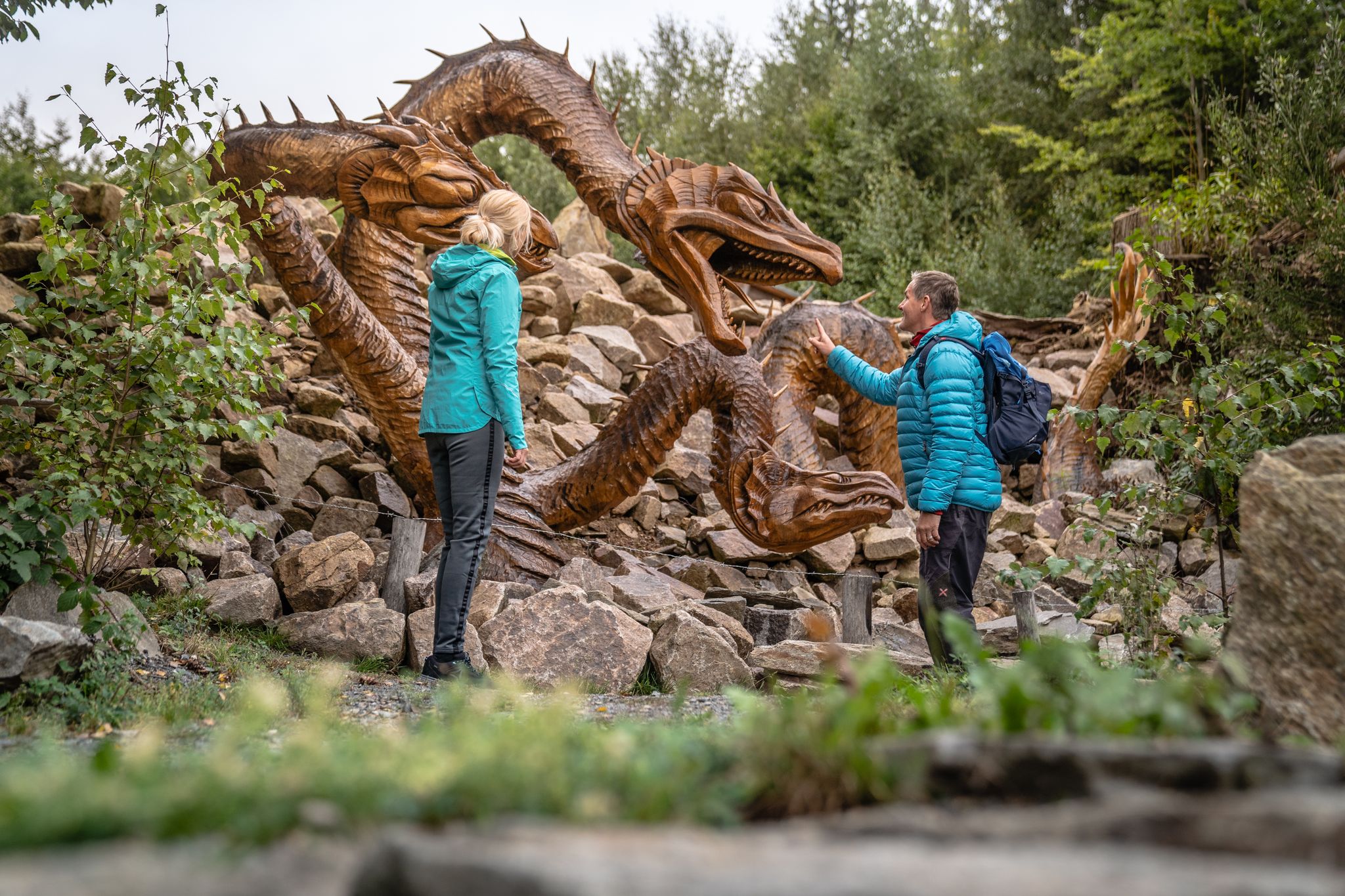
Wandertouren - Handwerk & Heimatgenuss
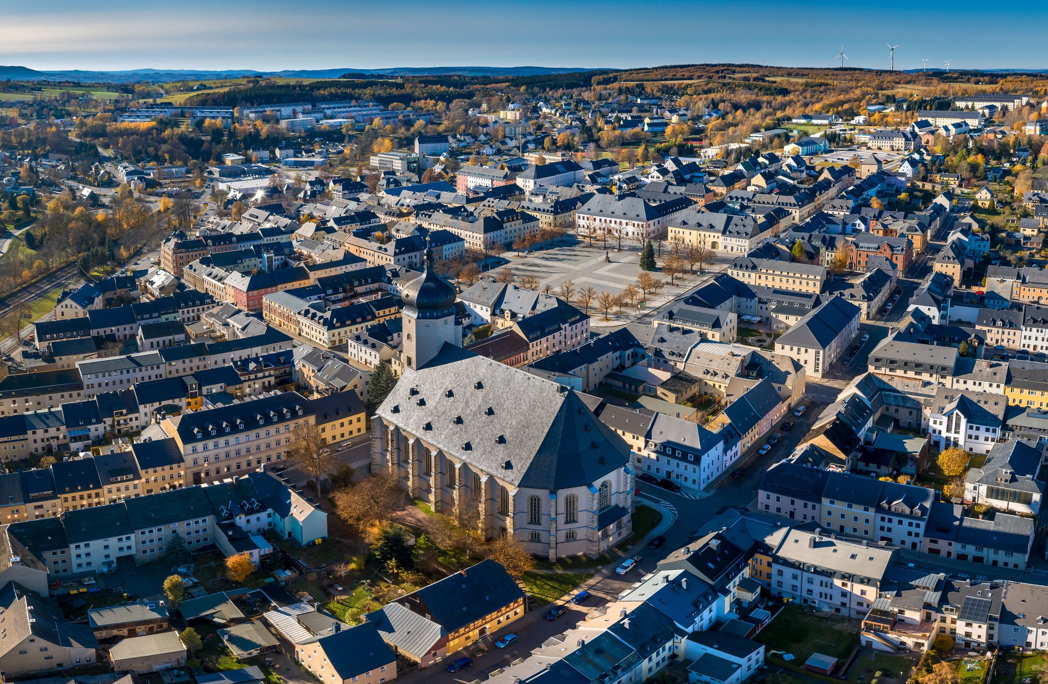
Wandertouren - "Glück Auf" im Welterbe
Hiking in Geyrischer Wald
Road Cycling Routes in Geyrischer Wald
Cycling in Geyrischer Wald
MTB Trails in Geyrischer Wald
Gravel biking in Geyrischer Wald

Mountain Hikes in Geyrischer Wald
Other adventures in Geyrischer Wald

Tips from the Community


Here you have a choice: either over the wooden bridge or through the Red Water.
1
1
The Greifenbach reservoir is one of the oldest dams in Germany. It dams the Rote Wasser stream. Today it is a local recreation area.
2
0


A beautiful sandy beach, pleasantly clean air, excellent water quality, and two spacious lawns make the hearts of all sun worshippers and water lovers beat faster. The Greifenbachstauweiher pond is a popular holiday and recreation center and excursion destination at the foot of the Greifensteine.
2
0

It's just beautiful here😊.
0
1
It's just beautiful here😊.
0
2
Frequently Asked Questions
How many running trails are available in Geyrischer Wald?
Geyrischer Wald offers a comprehensive network of over 50 running routes. These range from easy paths suitable for beginners to more challenging trails for experienced runners, ensuring a diverse experience for all.
What kind of terrain can I expect on the jogging routes in Geyrischer Wald?
The region is characterized by dense forest landscapes and the undulating Geyersche Hochfläche. You'll find a mix of both flat, accessible paths and more challenging routes, often leading past water bodies like the Geyrischer Teich and Greifenbachstauweiher. The varied terrain caters to different fitness levels.
Are there easy running routes for beginners in Geyrischer Wald?
Yes, Geyrischer Wald has 10 easy running routes perfect for beginners or those looking for a relaxed run. These trails typically feature less elevation and smoother paths, allowing for an enjoyable introduction to the area's natural beauty.
Can I find longer, more challenging runs in the Geyrischer Wald area?
Absolutely. For those seeking a greater challenge, Geyrischer Wald offers 39 moderate and 2 difficult running routes. Trails like the Geyrischer Teich – Rotes Wasser Stream Trail loop from Aussichtsfelsen, at over 10 km, provide a good workout with varied terrain and elevation.
What do other runners say about the trails in Geyrischer Wald?
The running routes in Geyrischer Wald are highly regarded by the komoot community, with an average rating of 4.6 stars from over 44 reviews. Runners often praise the serene forest environment, the well-maintained paths, and the diverse scenery, making it a popular choice for outdoor enthusiasts.
Are there any circular running routes in Geyrischer Wald?
Many of the running routes in Geyrischer Wald are designed as loops, offering convenient circular paths. For example, the popular Rest area at the First Clearing – Honey Bear wooden sculpture loop from Geyer is a 9.5 km circular trail that takes you through beautiful forest scenery.
What natural attractions or viewpoints can I discover along the running routes?
Geyrischer Wald is rich in natural highlights. You can run past the striking Greifensteine, a formation of granite cliffs, and visit the Greifensteine Observation Rock for expansive panoramic views. Some routes also lead along the historic Röhrgrabenweg – Historic Mining Canal Trail, blending nature with cultural heritage.
Are there any trails suitable for families with children?
While specific 'family-friendly' jogging routes aren't explicitly categorized, many of the easier and moderate trails with less elevation gain, especially those around the Geyrischer Teich or the Sender Geyer – Honey Bear wooden sculpture loop from Sender Geyer, could be suitable for families looking for a gentle run or walk. The region's extensive forest paths offer a safe and pleasant environment.
Can I bring my dog on the running trails in Geyrischer Wald?
Geyrischer Wald is generally dog-friendly, offering plenty of forest paths where you can run with your canine companion. It's always advisable to keep your dog on a leash, especially in nature reserve areas or when encountering other trail users, to ensure a pleasant experience for everyone.
Are there any routes that feature water bodies or lakes?
Yes, several routes incorporate the region's water bodies. For instance, the Geyrischer Teich – Greifenbachstauweiher loop from Auerbach/Erzgebirge offers a scenic run around these picturesque lakes, providing refreshing views and a different landscape experience.
Is there parking available near the jogging trails?
While specific parking locations aren't detailed for every route, Geyrischer Wald, as a popular outdoor destination, typically offers designated parking areas at trailheads or key access points. It's recommended to check local signage or komoot route details for specific parking information before your visit.
What is the best time of year to go running in Geyrischer Wald?
Geyrischer Wald offers a unique running experience throughout the year. Spring and autumn provide pleasant temperatures and vibrant scenery. Due to its isolated location, the Geyersche Platte can experience cooler temperatures and higher rainfall, similar to higher altitudes, which can be invigorating in summer. Winter running is also possible, but be prepared for potentially muddy or snowy conditions.
Most popular routes in Geyrischer Wald
Most popular attractions in Geyrischer Wald

Get inspired with the komoot mobile app


Explore more
Browse the best Running Trails & Routes in other regions.
