The best road cycling routes in Habichtswald
4.5
(514)
7,951
riders
328
rides
Road cycling in Habichtswald features routes through a forested low mountain range, characterized by rolling hills and varied terrain. The region offers a network of roads suitable for different skill levels, from gentle loops to more challenging ascents. Road cyclists can expect to navigate through dense woodlands and open landscapes, with some routes passing through historic towns. The area's topography provides a mix of elevations, making it suitable for diverse road cycling experiences.
Best road cycling routes in Habichtswald
- The most popular road cycling route is Tecklenburg Market Square – Historic Old Town of Tecklenburg loop from Leeden, an 8.1 miles (13.1 km) trail that takes 43 minutes to complete, passing through historic town centers.
- Another top favourite among local road cyclists is Sonnenweg Climb – Historic Old Town of Tecklenburg loop from Münsterplatz, an easy 22.6 miles (36.3 km) path. This route includes a climb and offers views of the historic old town.
- Local road cyclists also love the Sonnenweg Climb – Malepartus Serpentines loop from Thieplatz, a 31.9 miles (51.4 km) trail leading through winding roads and forested areas, often completed in about 2 hours 23 minutes.
- Road cycling in Habichtswald is defined by forested hills, winding roads, and historic townscapes. The network offers options for different ability levels, including easy road bike trails Habichtswald and more advanced road biking trails Habichtswald.
- The routes in Habichtswald are highly rated by the komoot community with an average score of 4.6 stars from over 400 reviews. More than 7,000 road cyclists have used komoot to explore Habichtswald's varied terrain.
Last updated: July 18, 2026
10
riders
Easy road ride. Great for any fitness level. Mostly well-paved surfaces and easy to ride.
4.8
(8)
76
riders
Easy road ride. Great for any fitness level. Mostly well-paved surfaces and easy to ride.

Sign up for free
14
riders
51.5km
02:23
470m
470m
Moderate road ride. Good fitness required. Mostly well-paved surfaces and easy to ride.
5.0
(5)
5
riders
Easy road ride. Great for any fitness level. Mostly well-paved surfaces and easy to ride.
4.6
(10)
43
riders
Moderate road ride. Good fitness required. Mostly well-paved surfaces and easy to ride.
Get access to more routes and recommendations from other explorers.
Sign up for free
Already have an account?
Our route recommendations are based on thousands of hikes, rides, and runs completed by other people on komoot.
Start today with a free account
Your next adventure awaits.
Login or Signup
Tips from the Community

Even from afar, you can see the massive Romanesque tower, whose lower floor was already built around the year 1200. It gives the church its characteristic, defensive silhouette. 🏛️🧱
1
0
🚲✨ The village church of Ledde in Tecklenburg is a true architectural gem that welcomes you with its centuries-old history and a very special atmosphere. Located in the middle of the idyllic village center, it is not only a spiritual center but also an important monument in the Tecklenburger Land.
1
0

State border
0
0

On the small but charming market square in Tecklenburg, you should definitely take a break. It's beautiful!
17
0

Nice short climb, not too steep
0
0

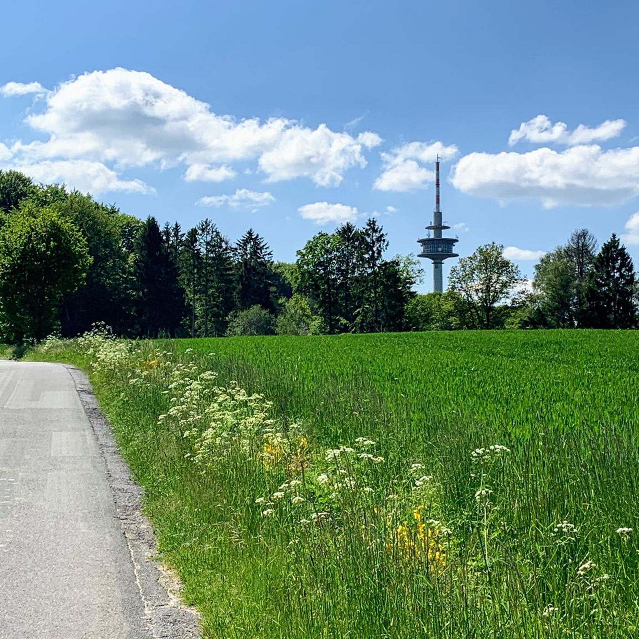
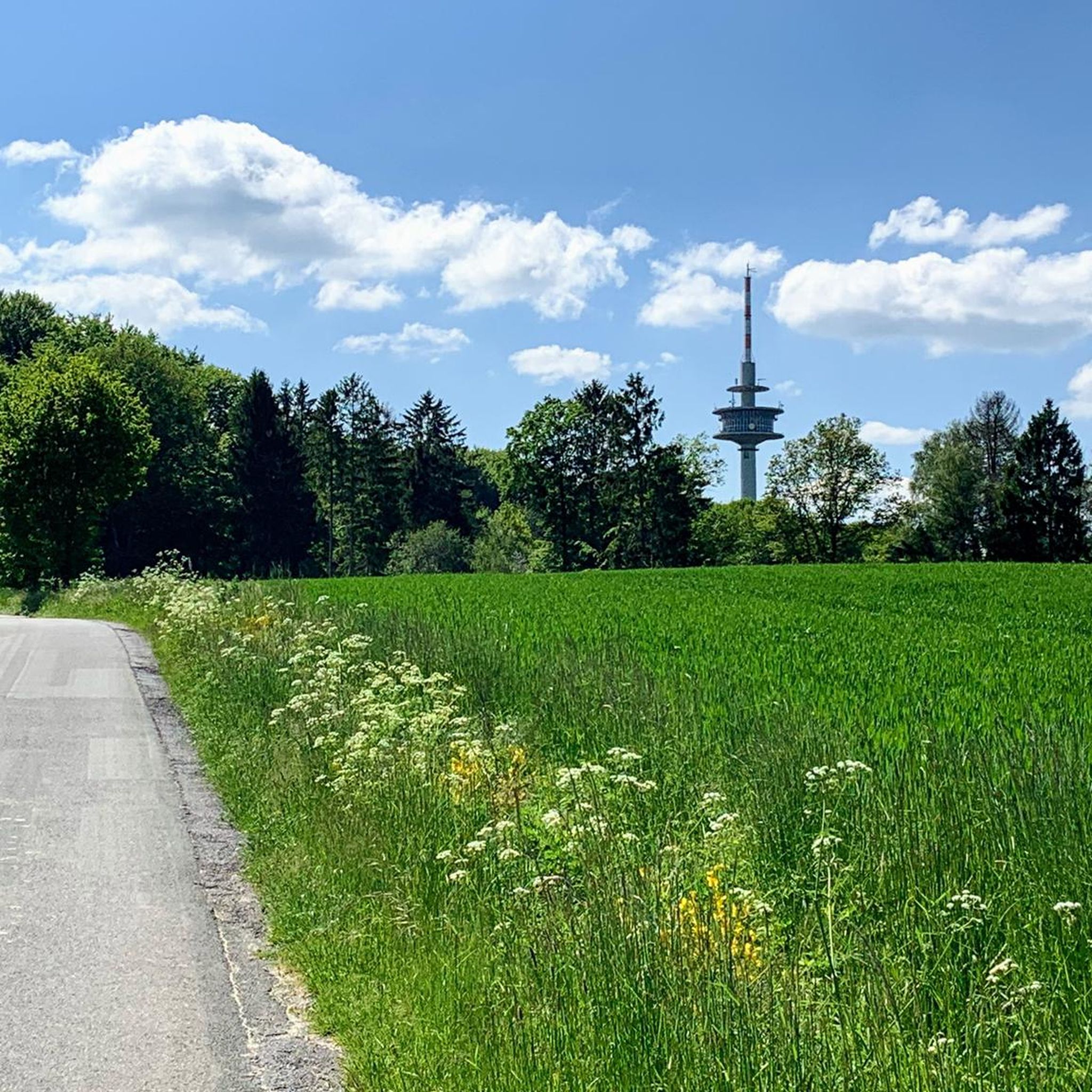
Hello everyone, If you want to drive east from the Ibbenbüren district of Laggenbeck, you can take Velper Straße towards Velpe, among other roads and routes. The road runs almost entirely alongside the railway line (5.8 km), but that's not really a problem. Additionally, the road is lightly trafficked, and the asphalt is rated as excellent. You should also take the time to look left and right a few times to enjoy the scenery and the Tecklenburger Land.
0
0

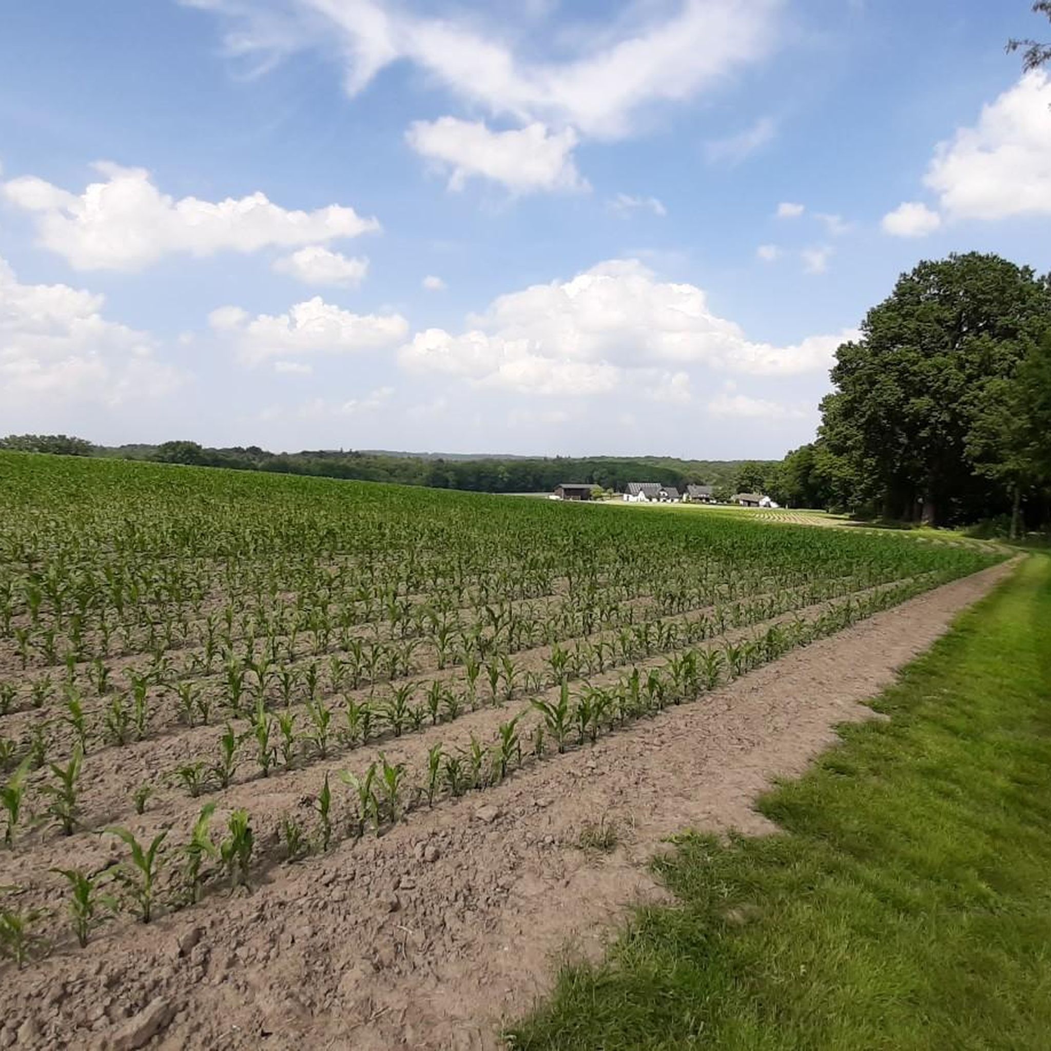
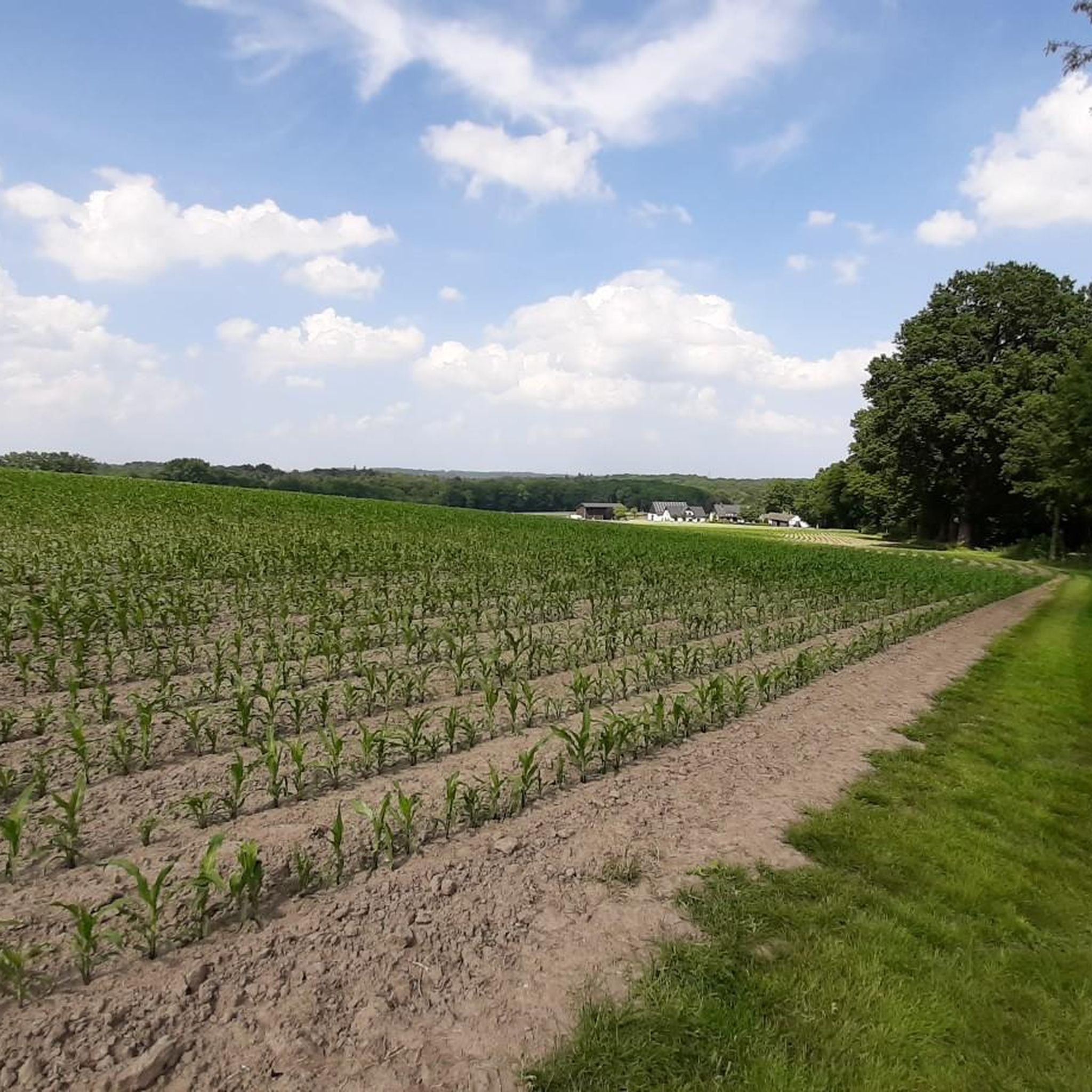
Smooth asphalt, hardly any traffic. Here you can enjoy the view of the beautiful landscape.
0
0

The 1.3-kilometer climb starts off leisurely but then becomes steeper in the upper section. You'll climb 70 meters in altitude before stopping for a refreshment stop in Tecklenburg.
0
0
Frequently Asked Questions
How many road cycling routes are available in Habichtswald?
Habichtswald offers a wide selection of road cycling routes, with over 330 tours available on komoot. These routes cater to various skill levels, ensuring there's something for everyone.
Are there easy road cycling routes suitable for beginners in Habichtswald?
Yes, Habichtswald has over 100 easy road cycling routes. A great option for beginners is the Tecklenburg Market Square – Historic Old Town of Tecklenburg loop from Leeden, an 8.1-mile (13.1 km) trail that takes about 43 minutes to complete.
What is the best time of year for road cycling in Habichtswald?
The best time for road cycling in Habichtswald is typically from late spring through early autumn (May to October). During these months, you can expect more favorable weather conditions, with less rain and comfortable temperatures for longer rides through the forested hills and historic towns.
Are there any family-friendly road cycling routes in Habichtswald?
Many of the easy and moderate routes in Habichtswald are suitable for families, especially those with older children. Routes that pass through historic towns or offer gentle gradients, like the Sonnenweg Climb – Historic Old Town of Tecklenburg loop from Münsterplatz, can be enjoyable for a family outing.
Where can I find parking for road cycling routes in Habichtswald?
Parking is generally available in the towns and villages that serve as starting points for many routes. For example, routes originating from Tecklenburg or other local centers often have designated parking areas. It's advisable to check specific route details on komoot for recommended parking spots.
Are there challenging road biking trails for advanced cyclists in Habichtswald?
Absolutely. While Habichtswald features many easy and moderate routes, there are also 16 difficult routes for advanced cyclists. These often include more significant climbs and longer distances, such as the Sonnenweg Climb – Malepartus Serpentines loop from Thieplatz, a 31.9-mile (51.4 km) trail with notable elevation changes.
What kind of scenery can I expect on road cycling routes in Habichtswald?
Road cycling in Habichtswald offers diverse scenery, from dense woodlands and rolling hills to open landscapes and historic townscapes. Many routes provide views of the surrounding Münsterland region and pass through charming old towns like Tecklenburg, offering a mix of natural beauty and cultural sights.
Are there road bike trails in Habichtswald that include cafes or refreshment stops?
Yes, many routes in Habichtswald pass through or near towns and villages where you can find cafes, restaurants, and other refreshment options. Planning your route to include stops in places like Tecklenburg will ensure you have opportunities for a break and a bite to eat.
What do other road cyclists enjoy most about road cycling in Habichtswald?
The komoot community highly rates road cycling in Habichtswald, with an average score of 4.6 stars from over 400 reviews. Cyclists often praise the varied terrain, the scenic forested roads, and the charm of the historic towns along the routes. The mix of easy and challenging options is also frequently highlighted.
Are there any circular road cycling routes in Habichtswald?
Yes, many of the road cycling routes in Habichtswald are designed as loops, allowing you to start and finish at the same point. Examples include the Historic Old Town of Tecklenburg – View over the Münsterland loop from Velpe, which offers a convenient circular experience.
How long do road cycling routes in Habichtswald typically take to complete?
Route durations vary significantly based on distance and difficulty. Shorter, easy routes like the Tecklenburg Market Square – Historic Old Town of Tecklenburg loop from Leeden can be completed in under an hour, while longer, moderate routes such as the Scenic Road Near Fangberg – Münster Osnabrück Airport loop from Natrup-Hagen might take around 2.5 to 3 hours or more.
What should I pack for a road cycling trip in Habichtswald?
For road cycling in Habichtswald, it's advisable to pack essentials like a repair kit, water, snacks, and appropriate clothing layers for varying weather. Given the region's rolling hills, a GPS device or a charged phone with the komoot app is also recommended for navigation.
Most popular routes in Habichtswald

Get inspired with the komoot mobile app


Explore more
Browse the best Road cycling routes in other regions.
