The best road cycling routes in Königsforst
4.4
(3503)
40,846
riders
481
rides
Road cycling in Königsforst offers an extensive network of paths through a vast forest reserve east of Cologne, Germany. The area is characterized by dense woodlands and mostly paved surfaces, providing stable ground for road cyclists. While predominantly forested, Königsforst also features open areas and connects to the Wahner Heide, offering diverse terrain. The region includes gentle elevation gains, with Mount Troodelöh representing Cologne's highest point at 118 meters.
Best road cycling routes in Königsforst
- The most popular road cycling…
Last updated: October 1, 2026
4.8
(31)
311
riders
96.3km
04:30
1,150m
1,140m
Hard road ride. Very good fitness required. Mostly well-paved surfaces and easy to ride.
4.7
(83)
1,824
riders
63.3km
02:56
530m
530m
Moderate road ride. Good fitness required. Some segments of this route may be unpaved and difficult to ride.

4.6
(16)
135
riders
37.2km
01:40
310m
310m
Moderate road ride. Good fitness required. Mostly well-paved surfaces and easy to ride.
4.6
(5)
59
riders
29.1km
01:26
270m
270m
Easy road ride. Great for any fitness level. Mostly well-paved surfaces and easy to ride.
3.7
(65)
76
riders
34.8km
01:37
200m
200m
Easy road ride. Great for any fitness level. Mostly well-paved surfaces and easy to ride.
Get access to more routes and recommendations from other explorers.
Already have an account?
Our route recommendations are based on thousands of hikes, rides, and runs completed by other people on komoot.
Start today with a free account
Your next adventure awaits.
Popular around Königsforst
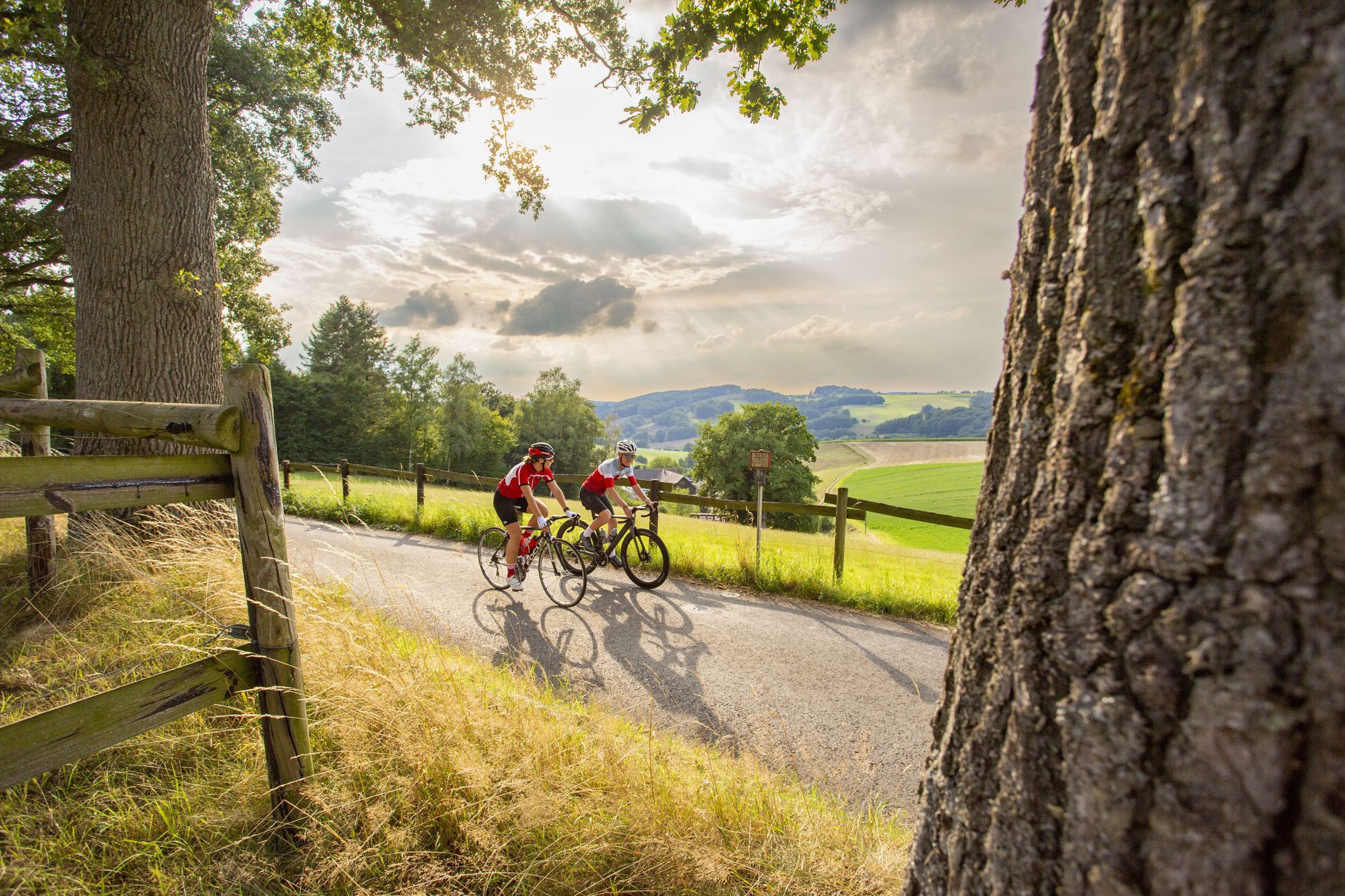
Road bike Tours in the Bergisches Land – endless hills and forests
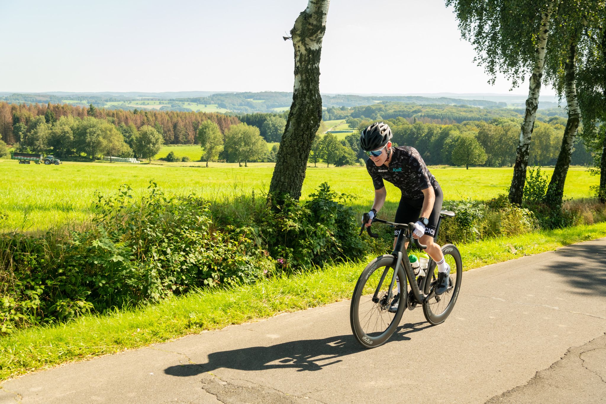
On the trails of Rund um Köln – road cycling routes in the Bergisches Land
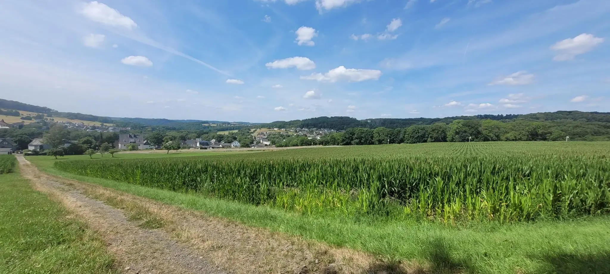
Hiking on the Cologne Trail – Discover nature close to the city
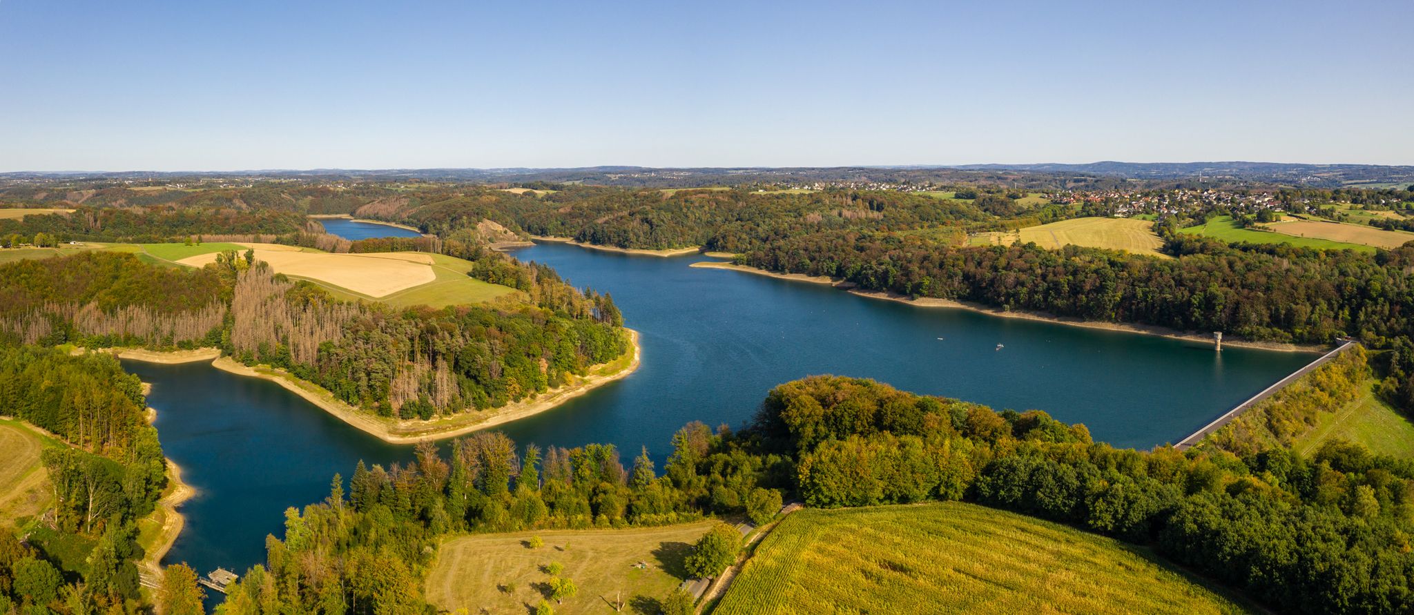
The Bergische Weg - Germany's most beautiful hiking trail 2024
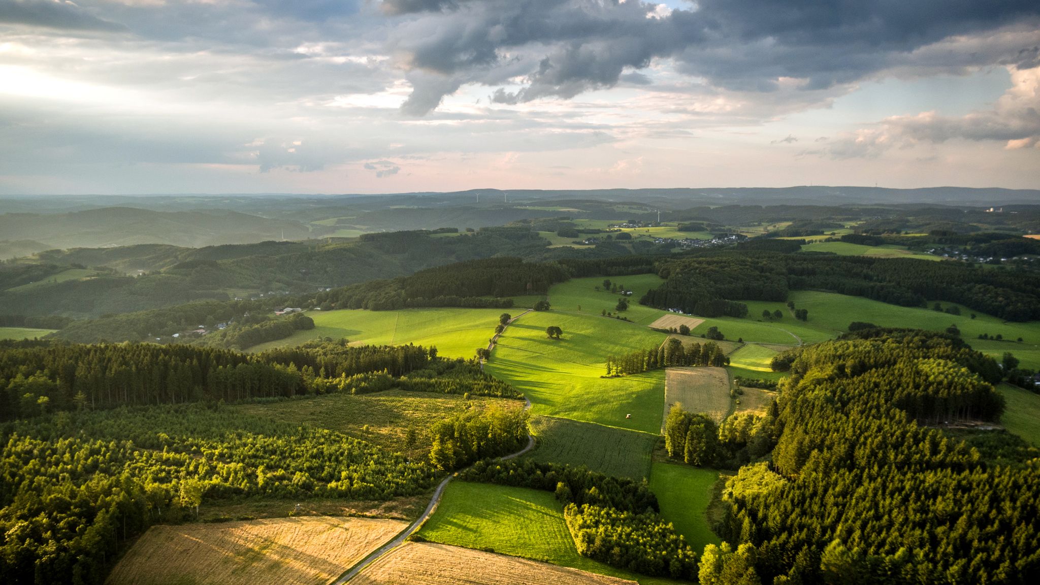
Panoramic adventures — explore Germany’s Bergisches Land
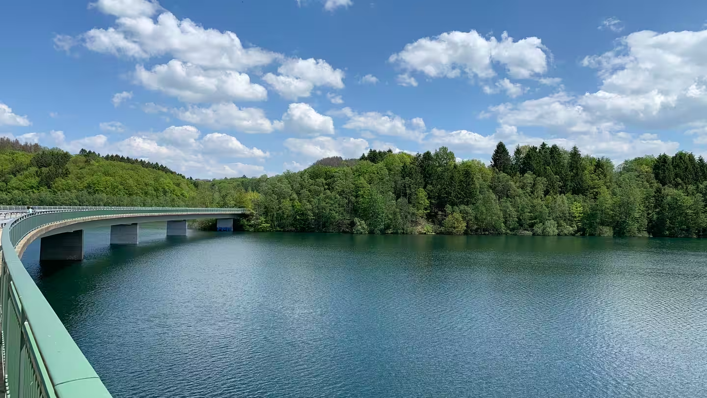
Zwischen Seeblick und Waldbaden – Mikroabenteuer in NRW
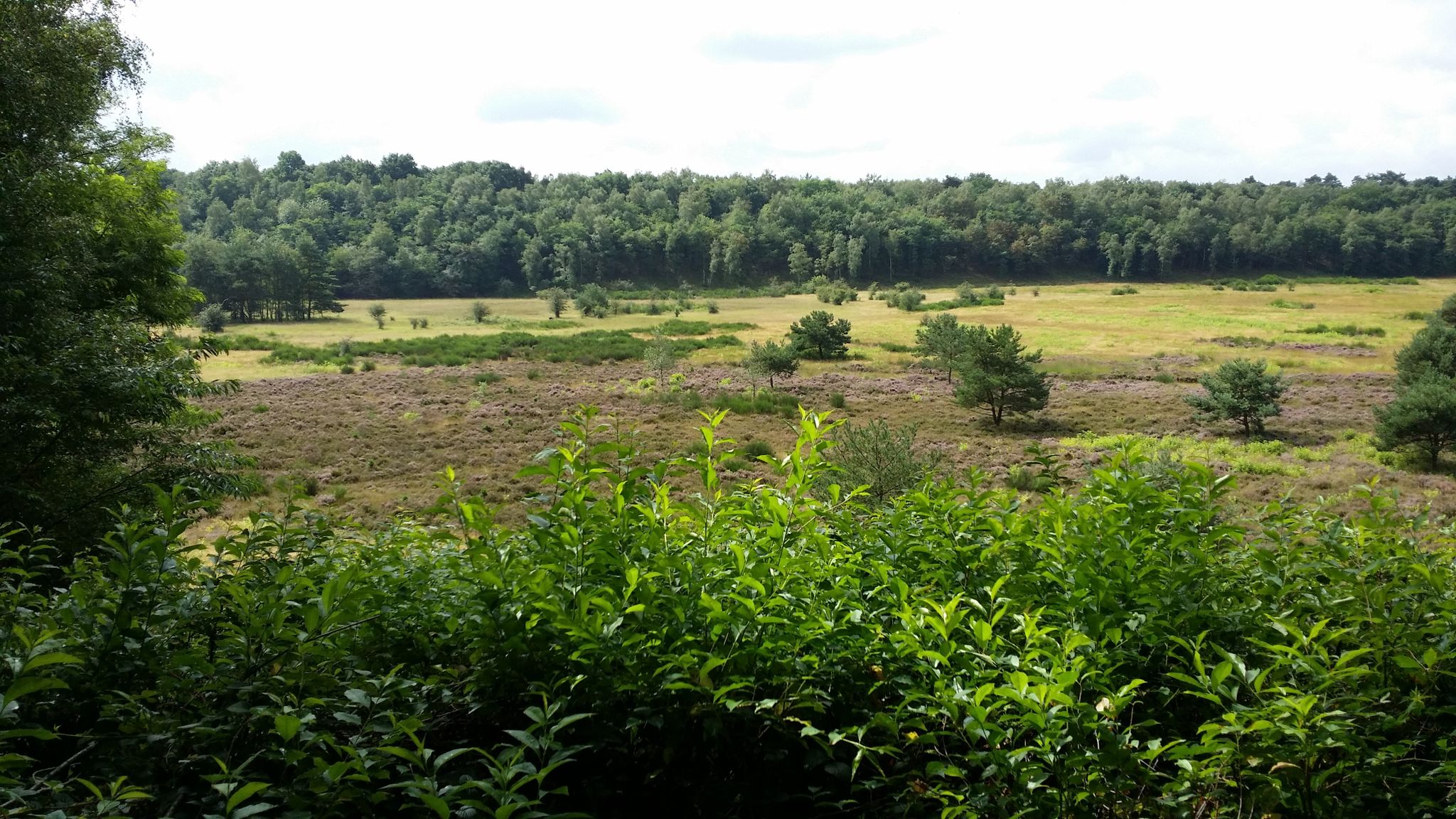
Audiotouren im DBU-Naturerbe Wahner Heide
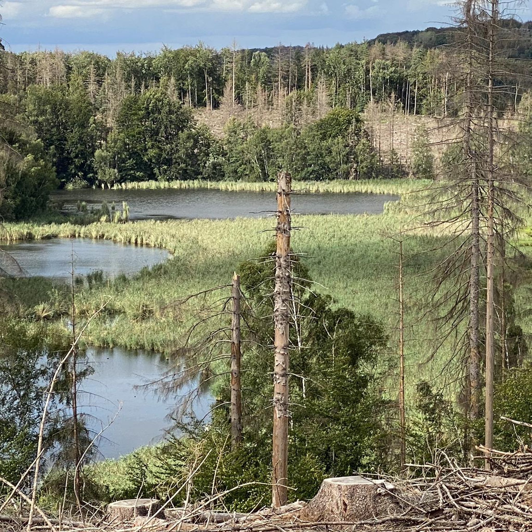
Hiking in Königsforst
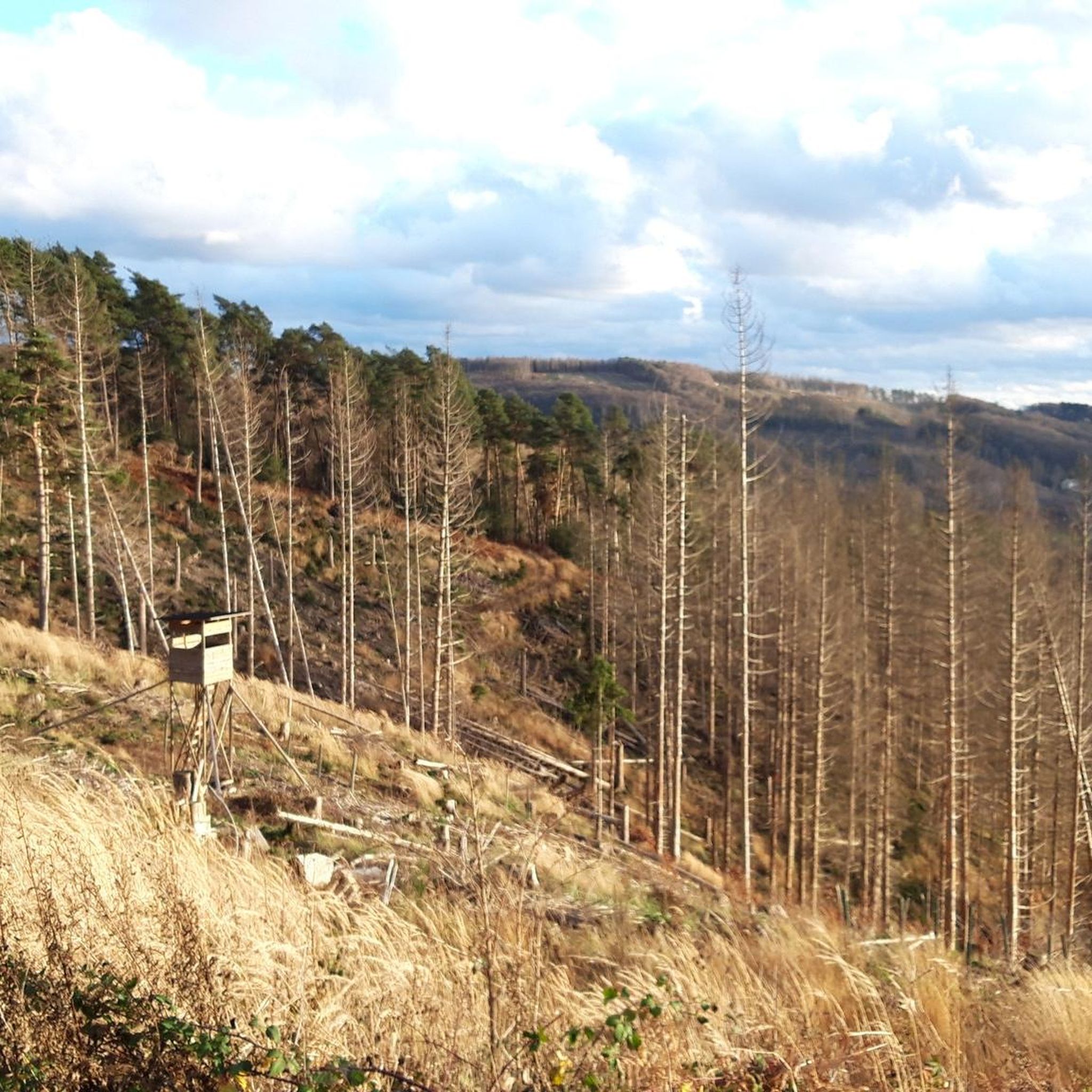
MTB Trails in Königsforst
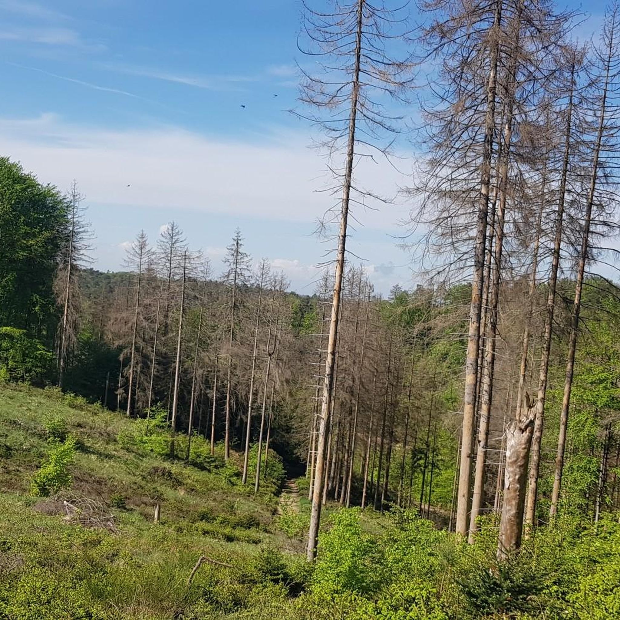
Running Trails in Königsforst
Other adventures in Königsforst


Tips from the Community

The distance is approximately 2 to 3 kilometers, depending on the exact route. The difference in altitude is roughly 150 to 200 meters, as the summit is located on a hill.
0
0
On a clear day, the view extends far beyond the Bergisches Land region and invites you to dream and linger 👍🏼
2
0


Hottest street in Cologne and surroundings. Here I can still get the 13 around nicely
0
0

Great place with an incredibly beautiful view.
3
0

The Schmitzebud offers drinks and snacks as well as a guest restroom.
3
0

Frequently Asked Questions
How many road cycling routes are available in Königsforst?
Königsforst offers an extensive network for road cyclists, with over 490 routes available on komoot. These routes cater to various skill levels, from easy rides to more challenging tours.
What is the typical terrain and difficulty for road cycling in Königsforst?
The terrain in Königsforst is characterized by dense woodlands with mostly paved surfaces, providing stable ground for road cyclists. While predominantly flat, the area does feature gentle elevation gains, including Mount Troodelöh, Cologne's highest point at 118 meters. You'll find a mix of routes, with 93 easy, 299 moderate, and 98 difficult options.
Are there any beginner-friendly road cycling routes in Königsforst?
Yes, Königsforst offers several easy routes suitable for beginners. For example, the Sülz River – Bensberg Castle loop from Rösrath is an easy 29 km path that takes approximately 1 hour 27 minutes to complete, offering a gentle introduction to the area's beautiful scenery.
What natural features or landmarks can I expect to see along the road cycling routes?
Königsforst is rich in natural beauty. You can explore diverse landscapes, including vast forest covers and open areas, with connections to the Wahner Heide. Notable features include Mount Troodelöh and an educational forest trail. Some routes, like the View of Altenberg Cathedral – Bensberg Palace loop from Rösrath-Stümpen, offer views towards significant landmarks.
Are there any lakes or ponds accessible from the road cycling routes?
Yes, Königsforst features several beautiful lakes and ponds. You might encounter highlights such as Kettner's Pond or Pionierweiher, offering serene spots for a break. The area also has a highlight for a Shelter at the Rather Weiher.
How can I reach Königsforst for road cycling, and is parking available?
Königsforst is easily accessible from Cologne and surrounding cities. It has good public transport connections, including a tram line directly to the forest's edge. While specific parking details for road cyclists are not provided, its popularity suggests ample parking options are available near common entry points.
What do other road cyclists enjoy most about road cycling in Königsforst?
The komoot community highly rates road cycling in Königsforst, with an average score of 4.4 stars from over 2700 reviews. Cyclists often praise the extensive network of mostly paved paths, the tranquil escape offered by the vast forest, and the diverse scenery that includes both dense woodlands and open areas.
Are there any circular road cycling routes in Königsforst?
Yes, many road cycling routes in Königsforst are designed as loops, allowing you to start and end at the same point. Examples include the challenging Bergische road cycling route 2: Schmitzebud loop and the moderate Agger floodplains at Hitzhof – Bridge Over the Agger River loop from Untereschbach.
Is Königsforst suitable for family-friendly road cycling?
Yes, Königsforst offers routes suitable for families. The presence of numerous easy and moderate routes with mostly paved surfaces makes it a good option for family outings. The educational forest trail also adds an interesting element for younger riders.
What is the best time of year for road biking in Königsforst?
Königsforst is a popular destination year-round, but spring and autumn generally offer the most pleasant conditions for road cycling with mild temperatures and beautiful foliage. Summer can also be enjoyable, with the forest providing shade, while winter rides are possible depending on weather conditions.
Are there cafes or pubs near the road cycling trails in Königsforst?
Königsforst is a popular local destination, and while specific cafes directly on trails are not listed, its accessibility from Cologne and surrounding towns like Bergisch Gladbach and Rösrath means there are various amenities, including cafes and pubs, easily reachable near the forest's edges for pre- or post-ride refreshments.
Can I combine my road cycling trip with other activities in Königsforst?
Absolutely! Königsforst is a hub for various outdoor pursuits. Besides road cycling, you can enjoy hiking, running, and horseback riding. The area's connection to Wahner Heide also opens up opportunities for broader ecological exploration.
Most popular routes in Königsforst
Most popular attractions in Königsforst

Get inspired with the komoot mobile app


Explore more
Browse the best Road cycling routes in other regions.
