The best walks and hikes in Dannenröder Forst
4.5
(4534)
14,346
hikers
797
hikes
Hiking in Dannenröder Forst offers a network of trails through a predominantly forested landscape in the Vogelsbergkreis region. The area is characterized by dense woodlands, gentle river valleys, and some unique geological features like rock formations. Elevation changes are generally mild, making many routes accessible for various fitness levels.
Best hiking trails in Dannenröder Forst
- The most popular hiking route is Gleental Cycle Path Rest Area loop from Niederklein, a 3.2 miles (5.2 km) trail that takes 1 hour…
Last updated: October 8, 2026
4.0
(2)
2
hikers
Easy hike. Great for any fitness level. Easily-accessible paths. Suitable for all skill levels.
4.5
(2)
7
hikers
5.22km
01:23
50m
50m
Easy hike. Great for any fitness level. Easily-accessible paths. Suitable for all skill levels.

7
hikers
Easy hike. Great for any fitness level. Easily-accessible paths. Suitable for all skill levels.
5.0
(1)
6
hikers
Easy hike. Great for any fitness level. Easily-accessible paths. Suitable for all skill levels.
3.0
(1)
4
hikers
4.20km
01:08
60m
60m
Easy hike. Great for any fitness level. Easily-accessible paths. Suitable for all skill levels.
Get access to more routes and recommendations from other explorers.
Already have an account?
Our route recommendations are based on thousands of hikes, rides, and runs completed by other people on komoot.
Start today with a free account
Your next adventure awaits.

Tips from the Community

Added to the collection: https://www.komoot.com/de-de/collection/3600632/-naturdenkmaeler-besondere-baeume-und-weitere-schaetze-der-natur
3
0

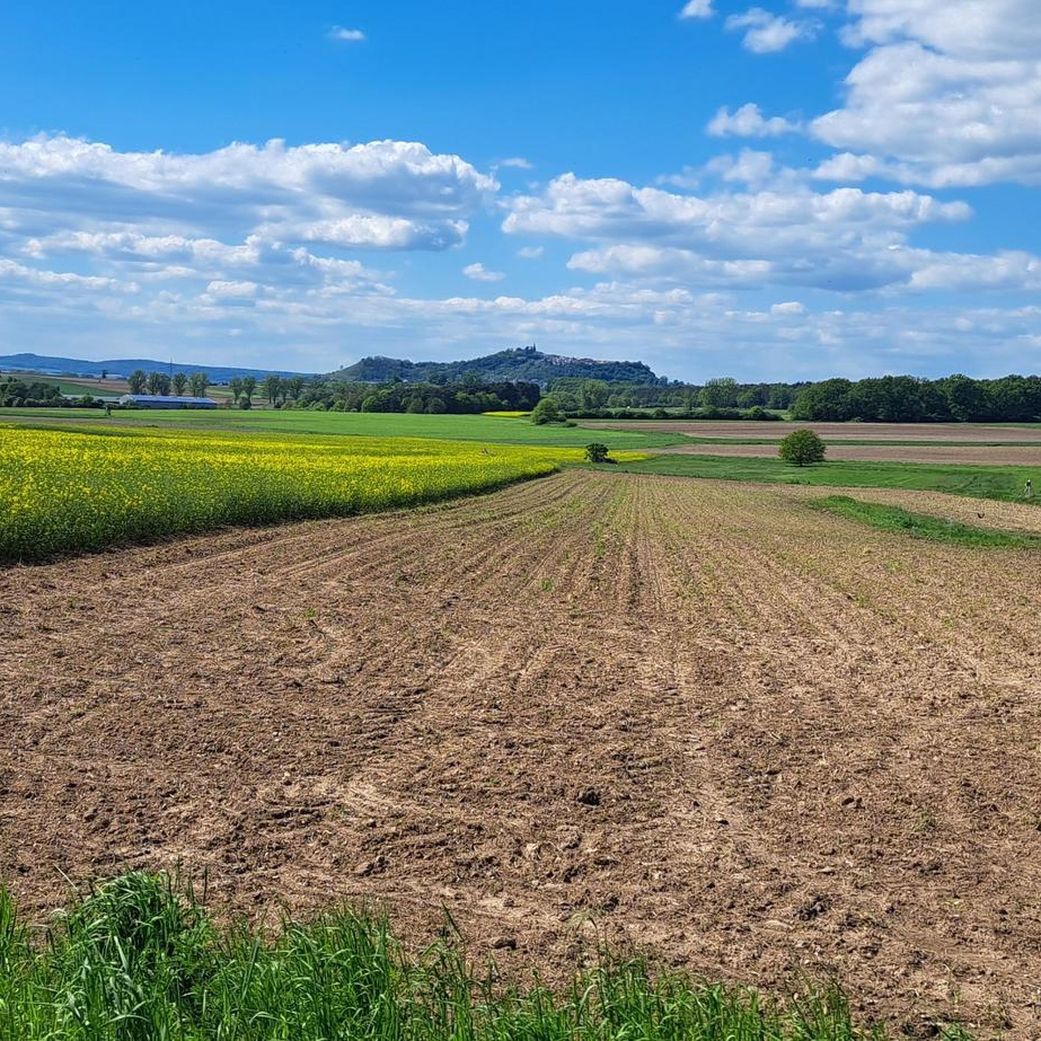
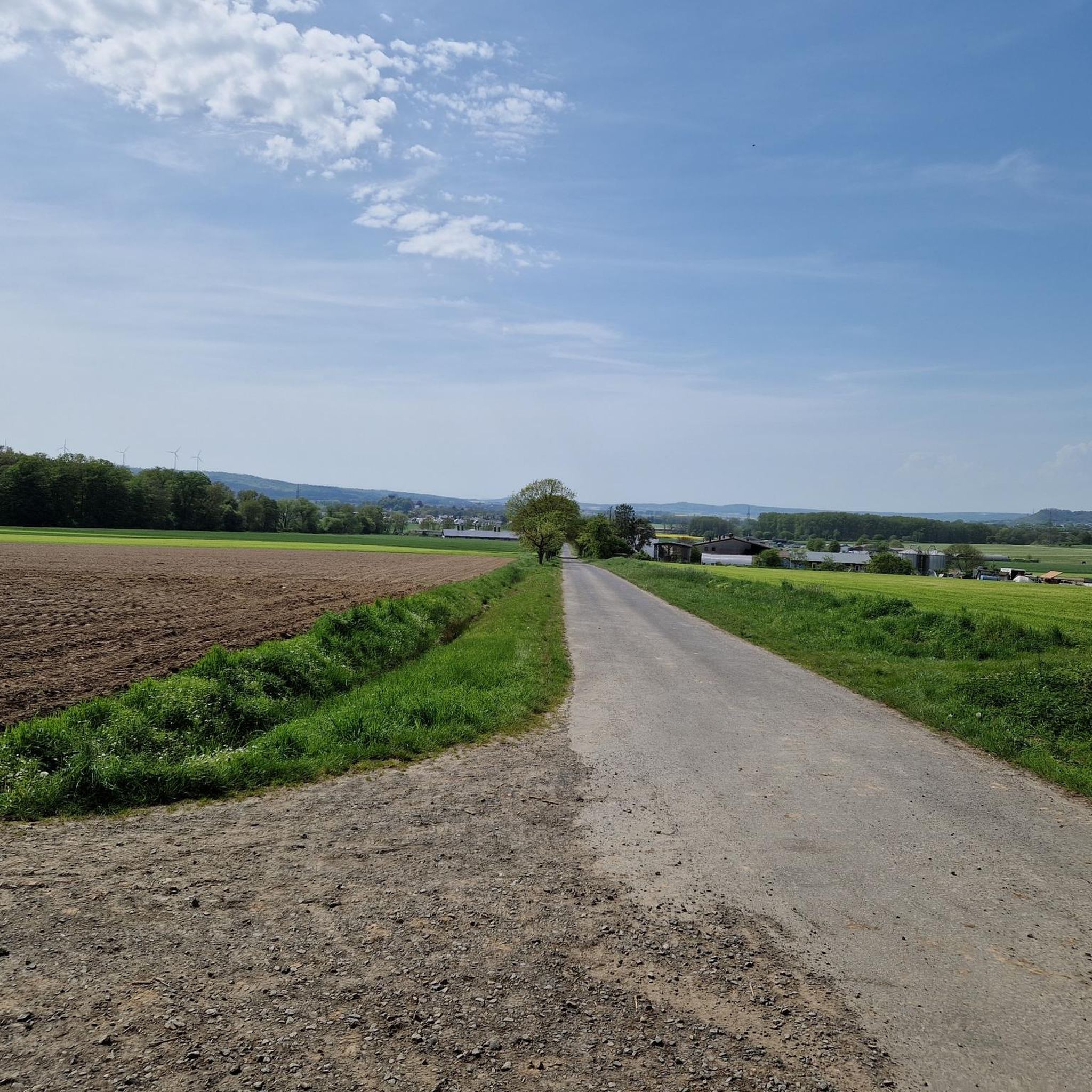
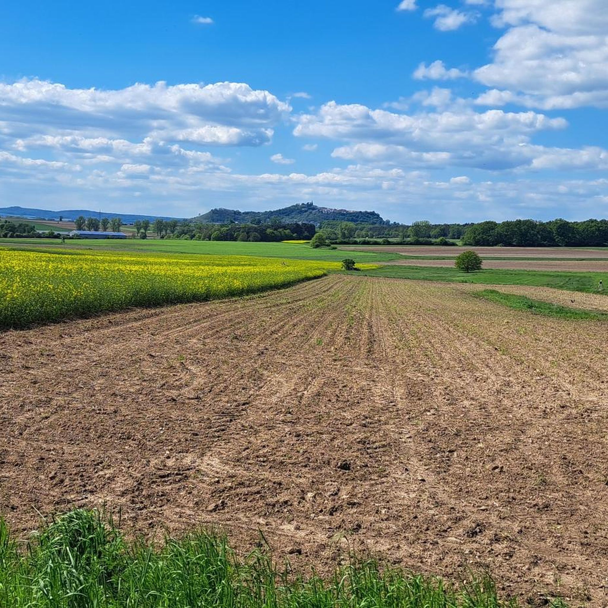
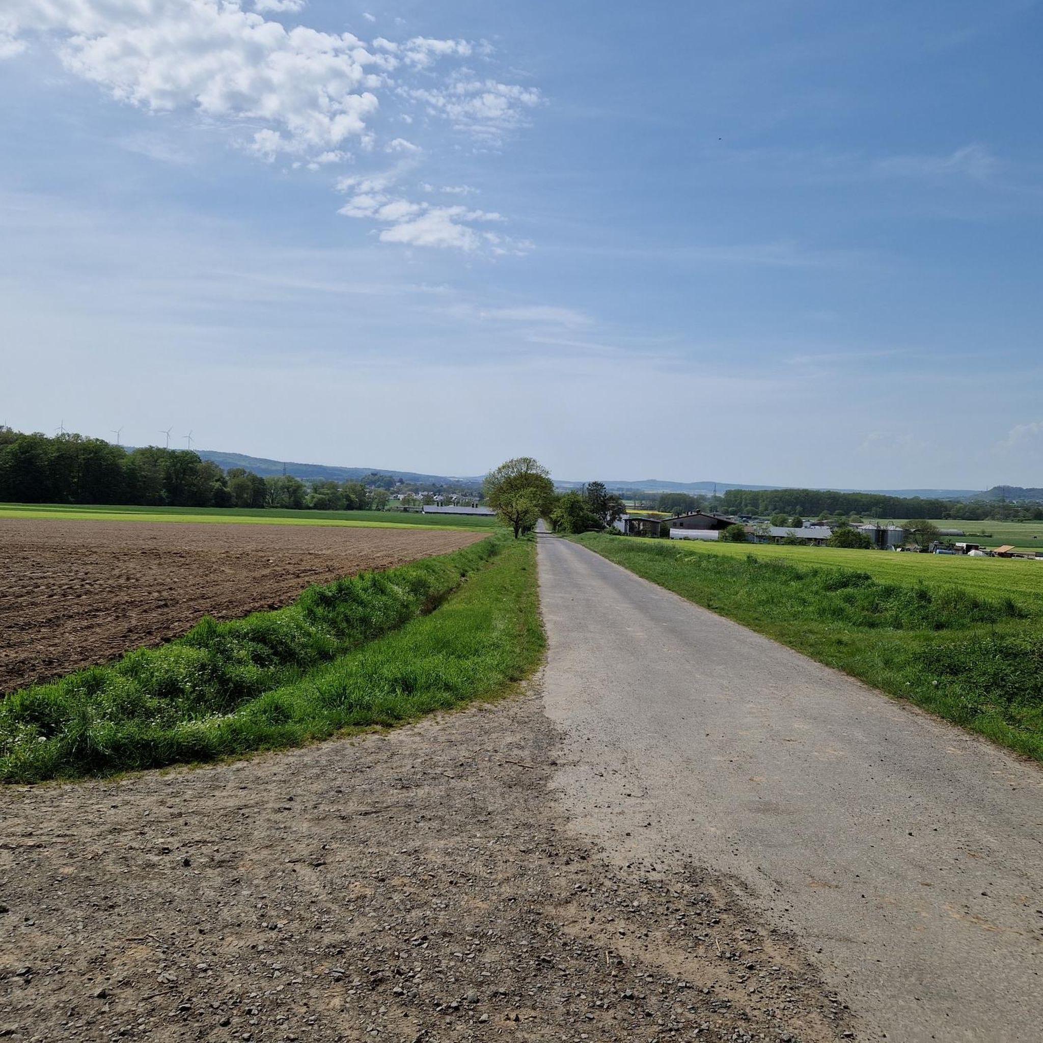
2 benches at the edge of the forest with a view of Niederklein and the surrounding area
1
0

Another duplicate, the highlight is already there.
0
0

Fine NaTour… that describes it in a nutshell… worth it
10
0
Located directly at the entrance to the sea of rocks... just cross the wooden bridge and it's time for a break...👍👍
1
0
I always thought... endless expanses only existed on the Starship Enterprise.. Nope... they also exist in the Vogelsberg...😜
0
0
Overwhelming thing, quite well explained on information boards… you should take the time
8
0
Small climbing paradise for the little ones.. Nice to look at this geotope of the year 2018 of the Dr. Volcanological Society.. hm… all just solidified sand
10
0
Frequently Asked Questions
How many hiking trails are available in Dannenröder Forst?
Dannenröder Forst offers a wide network of trails, with over 800 hiking routes available on komoot. This includes a variety of options suitable for different fitness levels.
Are there easy hikes suitable for beginners in Dannenröder Forst?
Yes, Dannenröder Forst is well-suited for beginners, with over 470 easy routes. An excellent option is the Felsenmeer Nieder-Ofleiden – Felsenmeer rock formations loop from Nieder-Ofleiden, which is an easy 3 km path guiding you through distinctive rock formations.
Are there any challenging hikes in Dannenröder Forst?
While Dannenröder Forst is known for its generally mild elevation changes, there are a few more demanding options. There are 18 difficult routes available for those seeking a greater challenge, often featuring longer distances or steeper sections.
What is the typical duration of hikes in Dannenröder Forst?
Hike durations vary widely depending on the route and your pace. Many popular easy trails, like the Todtenmühle – Weir on the Glee loop from Niederklein (4.9 km), can be completed in about 1 hour 17 minutes. Longer, moderate routes can take several hours.
Are there family-friendly hiking options in Dannenröder Forst?
Many of the easy and moderate trails in Dannenröder Forst are suitable for families. The gentle terrain and well-maintained paths through dense woodlands make for pleasant walks with children. Look for routes with shorter distances and minimal elevation gain.
Can I bring my dog on the trails in Dannenröder Forst?
Yes, Dannenröder Forst is generally dog-friendly. Most trails are suitable for dogs, but it's always advisable to keep your dog on a leash, especially in areas with wildlife or near agricultural land. Please ensure you clean up after your pet.
Are there good circular hiking routes in Dannenröder Forst?
Yes, circular routes are very popular in Dannenröder Forst. An example is the Dannenröder Forst loop from Dannenrod, which offers a pleasant 4.2 km walk through the forest, bringing you back to your starting point.
What interesting landmarks or attractions can I see along the hiking trails?
Dannenröder Forst offers several points of interest. You can explore unique geological features like the Felsenmeer Nieder-Ofleiden or the Felsenmeer rock formations. There are also historical sites such as Schmitthof Castle and Schmitthof Water Castle, adding cultural interest to your hike.
When is the best time of year to hike in Dannenröder Forst?
Dannenröder Forst is enjoyable throughout much of the year. Spring brings lush greenery and blooming wildflowers, while autumn offers vibrant fall foliage. Summer provides shaded trails through the dense woodlands, and even mild winter days can be pleasant for a quiet walk, though some paths might be muddy or icy.
What do other hikers enjoy most about Dannenröder Forst?
The area is highly rated by the komoot community, with an average score of 4.6 stars from over 3,900 reviews. Hikers often praise the quiet, extensive woodlands, the well-marked paths, and the opportunity to experience nature away from crowds. The unique rock formations and gentle river valleys are also frequently highlighted.
Are there trails in Dannenröder Forst that pass by cafes or places to eat?
While Dannenröder Forst is primarily a natural area, some routes may pass near villages or towns where you can find cafes or restaurants. For example, the Kaisereiche Schweinsberg – Biohof Metz loop from Dannenrod is a moderate 11.5 km route that passes by Biohof Metz, which might offer refreshments or local produce. It's always a good idea to check opening times in advance.
Is Dannenröder Forst accessible by public transport?
Access to Dannenröder Forst by public transport can be limited, as many trailheads are located in smaller villages or directly within the forest. It is recommended to check local bus schedules for connections to towns like Niederklein or Dannenrod, which serve as starting points for some routes. Driving and parking are often the most convenient options.
Most popular routes in Dannenröder Forst
Most popular attractions in Dannenröder Forst

Get inspired with the komoot mobile app


Explore more
Browse the best Hikes in other regions.
