The best running trails in Edelmannswald
4.4
(1084)
20,427
runners
694
runs
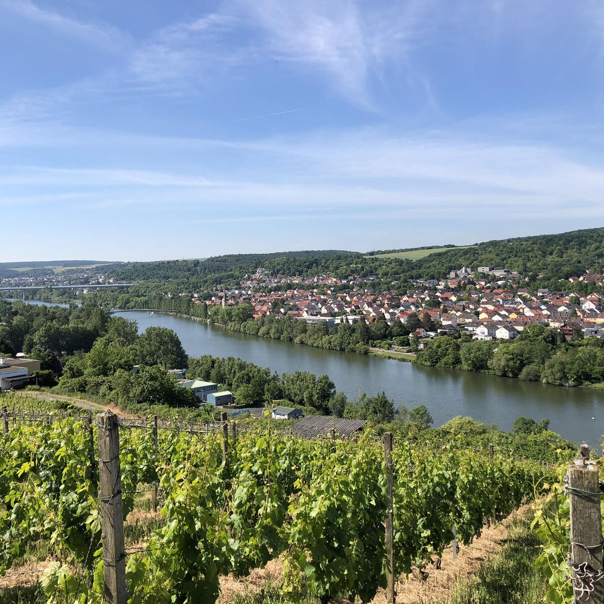
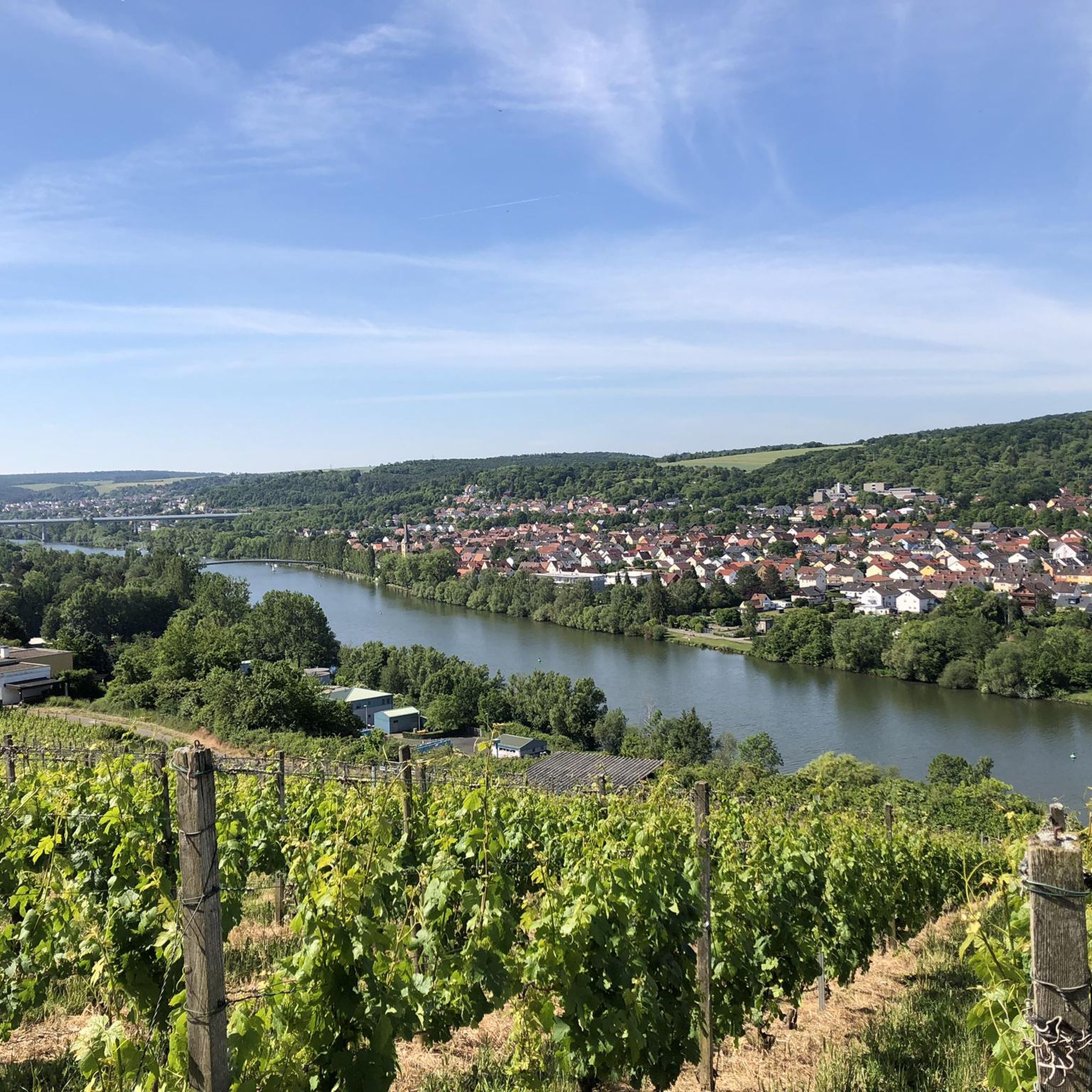
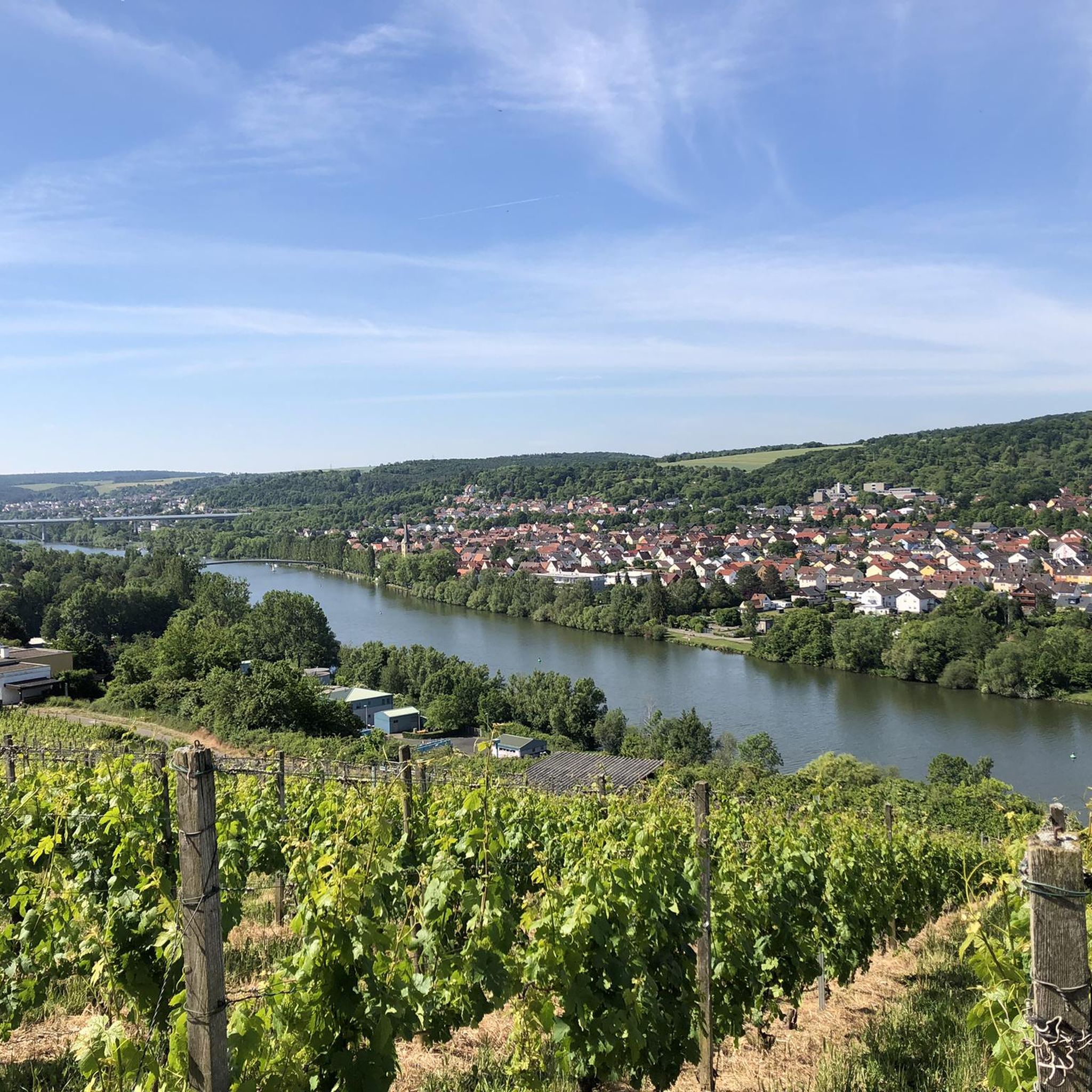
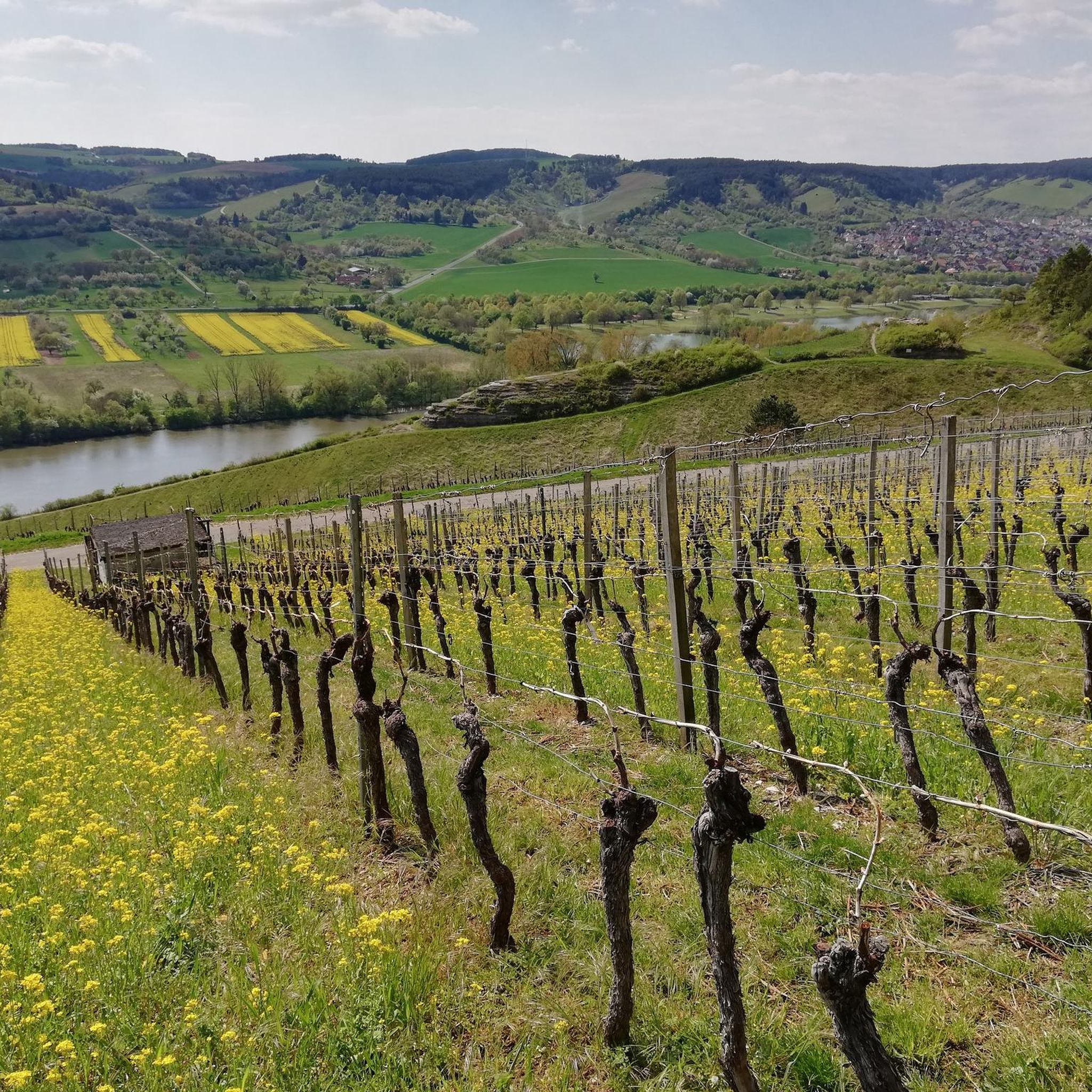
Jogging in Edelmannswald offers a diverse natural landscape characterized by extensive forests, primarily beech and oak, providing ample shade and a refreshing atmosphere. The terrain features a mix of surfaces, including asphalt, gravel, and natural paths, catering to various running preferences. Runners can experience tranquil woodlands and open sections with picturesque views of the Main valley and vineyards. This region provides a well-maintained network of trails suitable for different fitness levels.
Best jogging routes in Edelmannswald
- The most popular jogging…
Last updated: July 12, 2026
5.0
(1)
26
runners
11.2km
01:12
120m
120m
Moderate run. Good fitness required. Mostly paved surfaces. Suitable for all skill levels.
5.0
(2)
11
runners
9.64km
01:03
140m
140m
Moderate run. Good fitness required. Mostly paved surfaces. Suitable for all skill levels.

Sign up for free
5.0
(1)
9
runners
9.91km
01:09
180m
180m
Moderate run. Good fitness required. Mostly paved surfaces. Suitable for all skill levels.
5.0
(1)
9
runners
4.77km
00:31
70m
70m
Easy run. Great for any fitness level. Mostly paved surfaces. Suitable for all skill levels.
4.0
(1)
7
runners
Moderate run. Good fitness required. Mostly paved surfaces. Suitable for all skill levels.
Get access to more routes and recommendations from other explorers.
Sign up for free
Already have an account?
Our route recommendations are based on thousands of hikes, rides, and runs completed by other people on komoot.
Start today with a free account
Your next adventure awaits.
Login or Signup
Tips from the Community

Since Brexit, this is the center of the EU. The place is nicely designed, with information boards, a stone with a pole where you can take photos, as well as a bench with a table and a view of the fields.
0
0

Take your time and enjoy the beautiful view
0
0

Start Fool's Recreation Trail
0
0

Added to the collection: komoot.com/de-de/collection/3600632/-naturdenkmaeler-besondere-baeume-und-weitere-schaetze-der-natur
0
0

The center of the EU since England's exit 🏴.
0
0

Unfortunately it was very windy here
1
0
Who can say he took a break at the center of the EU?
0
0

Great spot in the middle of nowhere! Very nicely laid out.
0
0
Frequently Asked Questions
How many running routes are available in Edelmannswald?
Edelmannswald boasts an extensive network of over 670 running routes. This includes a wide variety of trails, with approximately 87 easy, 507 moderate, and 80 difficult options, ensuring there's a suitable path for every runner.
What kind of terrain can I expect on the jogging trails in Edelmannswald?
The running trails in Edelmannswald offer a diverse mix of surfaces, including asphalt, gravel, and natural forest paths. You'll primarily run through dense beech and oak forests, providing ample shade, but some routes also open up to offer scenic views of the Main valley and vineyards.
Are there any easy running routes suitable for beginners or a relaxed jog?
Yes, Edelmannswald has numerous easy running routes. For a relaxed jog, consider the View Over the Fields loop from Margetshöchheim, which is just under 5 kilometers and offers gentle elevation changes, perfect for a leisurely run.
What are some interesting natural features or landmarks I might see while running in Edelmannswald?
While running, you can discover several natural features and landmarks. The Seelein Nature Monument, a wetland biotope, is a notable sight. You might also encounter an observation pavilion offering expansive views of the Main valley, and parts of the historic M Trail.
Are there any circular running routes in Edelmannswald?
Yes, many of the running routes in Edelmannswald are circular, allowing you to start and end at the same point. A great example is the Seelein Nature Monument – Root Trail Ravensburg loop from Veitshöchheim, which covers about 9.9 kilometers through varied terrain.
Where can I find parking when visiting Edelmannswald for a run?
Convenient parking areas are available for runners. You can find small wanderparkplatz (hiking car parks) within the forest near Güntersleben and Thüngersheim. The Naturfreundehaus "Am Kalten Brunnen" in Veitshöchheim also serves as a convenient starting point with parking facilities.
Is Edelmannswald suitable for trail running, or are the paths mostly paved?
Edelmannswald is very suitable for trail running. While there are sections of asphalt and gravel, a significant portion of the trails consists of natural forest paths and singletracks. Routes like the Seelein Nature Monument – Root Trail Ravensburg loop incorporate natural ground, offering an authentic trail running experience.
What do other runners enjoy most about the trails in Edelmannswald?
The running routes in Edelmannswald are highly rated by the komoot community, with an average score of 4.4 stars from over 1100 reviews. Runners frequently praise the tranquil, shaded woodlands, the varied terrain, and the well-maintained network of paths that provide a refreshing environment for their runs.
Are there any places to rest or get refreshments near the running trails?
Yes, the Naturfreundehaus Veitshöchheim "Am Kalten Brunnen" is conveniently located at the edge of the forest. It offers a beer garden, making it an ideal spot for a rest and refreshments before or after your run.
Can I reach the running trails in Edelmannswald using public transport?
While specific public transport routes directly into the heart of the forest might be limited, the region is accessible. You can plan your journey to nearby towns like Güntersleben or Veitshöchheim, which often have bus connections, and then access the trails from there. For detailed public transport information, it's best to check local transport schedules.
Are there any routes that offer particularly good views of the Main valley?
Absolutely. Several routes in Edelmannswald lead to vantage points that provide magnificent panoramas. The 'Eichblatt-Weg', for instance, incorporates sections of the Mainwanderweg and offers scenic vistas of the Main valley and surrounding vineyards, adding a picturesque element to your run.
What is the best time of year to go running in Edelmannswald?
Edelmannswald is suitable for running year-round. The dense forests, predominantly beech and oak, provide ample shade, making it particularly pleasant for jogging even during warmer months. In spring and autumn, the changing foliage adds to the scenic beauty, while winter runs can be tranquil, though some paths might be slippery.
Most popular routes in Edelmannswald
Most popular attractions in Edelmannswald

Get inspired with the komoot mobile app


Explore more
Browse the best Running Trails & Routes in other regions.
