The best running trails in Staatsforst Völklingen
4.3
(1544)
26,790
runners
588
runs
Jogging in Staatsforst Völklingen offers a diverse landscape for runners of all levels. The region is characterized by dense woodlands, providing shaded paths and a natural environment for running. Elevation changes are generally moderate, with some routes featuring gentle hills and others following flatter riverbank sections. The area's network of trails allows for varied running experiences, from short, easy jogs to longer, more challenging running routes.
Best jogging routes in Staatsforst Völklingen
- The most popular jogging route is Start of…
Last updated: October 8, 2026
4.9
(9)
393
runners
28.9km
03:19
670m
670m
Hard run. Very good fitness required. Mostly paved surfaces. Suitable for all skill levels.
4.5
(15)
257
runners
Moderate run. Good fitness required. Mostly paved surfaces. Suitable for all skill levels.

5.0
(6)
119
runners
Hard run. Very good fitness required. Mostly paved surfaces. Suitable for all skill levels.
29
runners
16.5km
01:54
410m
410m
Hard run. Very good fitness required. Mostly paved surfaces. Suitable for all skill levels.
4.3
(3)
48
runners
Moderate run. Good fitness required. Mostly paved surfaces. Suitable for all skill levels.
Get access to more routes and recommendations from other explorers.
Already have an account?
Our route recommendations are based on thousands of hikes, rides, and runs completed by other people on komoot.
Start today with a free account
Your next adventure awaits.
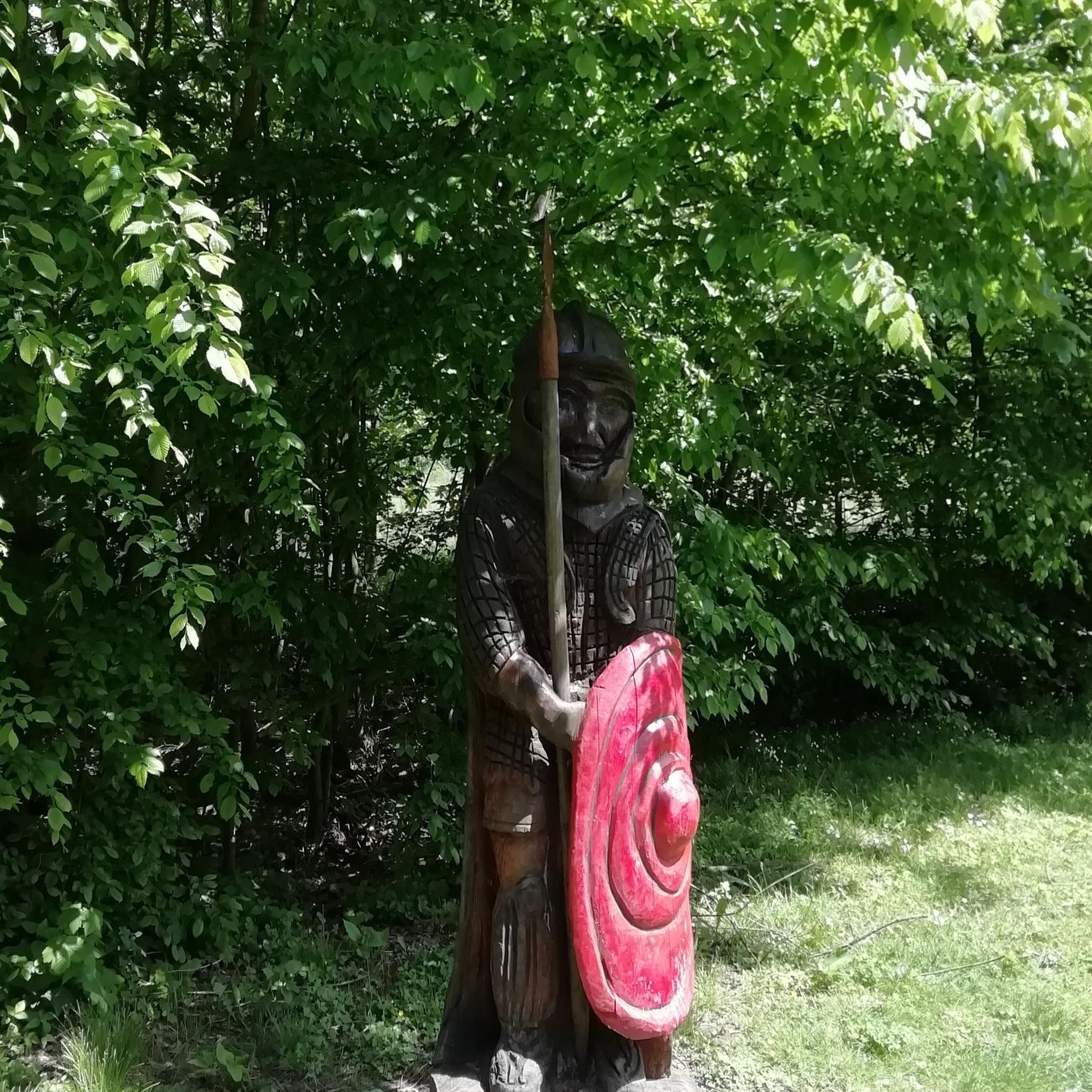
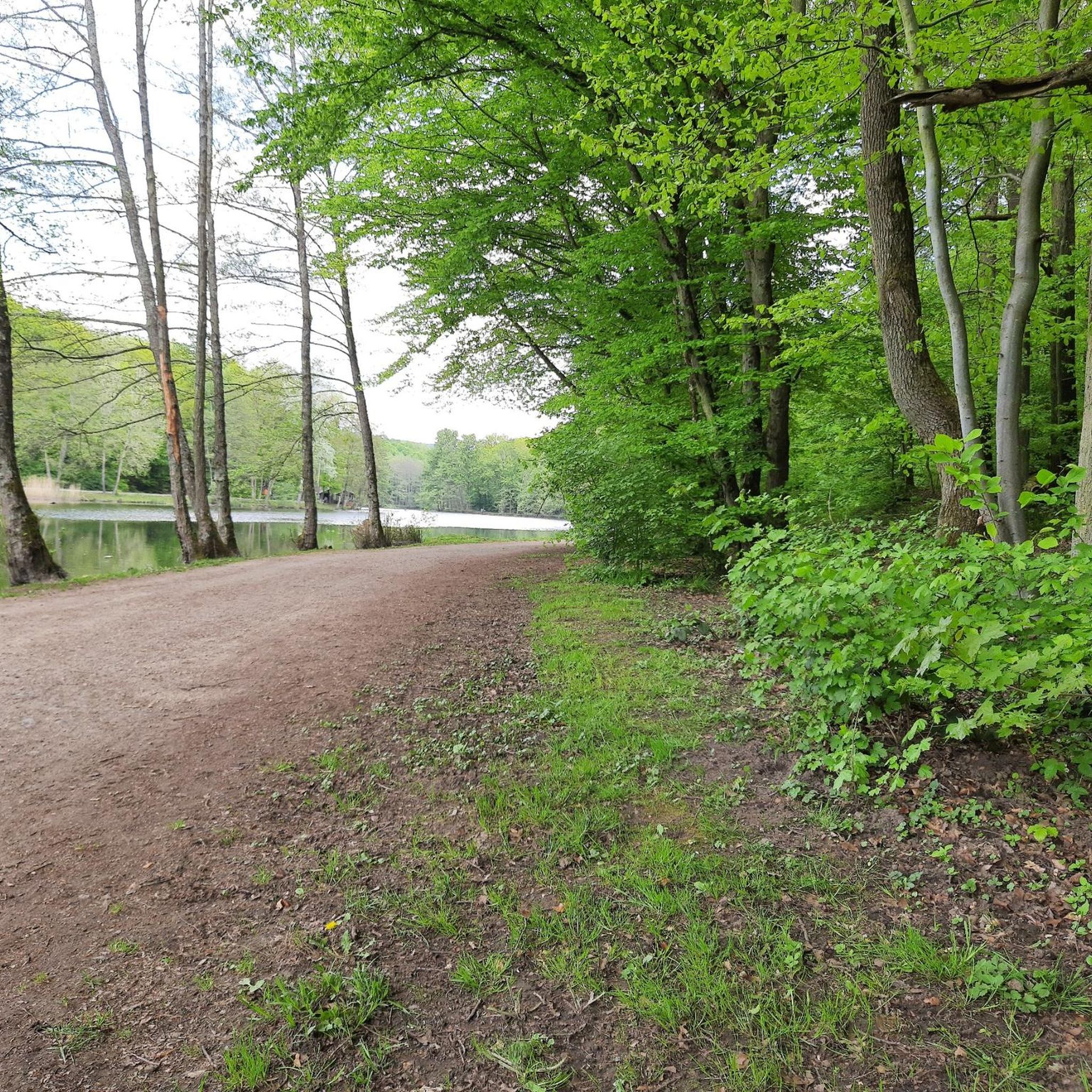
Other adventures in Staatsforst Völklingen

Tips from the Community

You should have good footing, because some of the steps at the top are significantly higher and the horizontal branch requires a limbo, but the view is worth it and from the top you can see the next destination: the Grühlingsstraße spoil heap :-)
0
0

Highly recommended 👍
0
0

Wooden owl on articulated benches
0
0

⚙️ Saarbrücken Ship Lock – Technology in Motion on the River In the heart of Saarbrücken lies the imposing ship lock – an impressive structure that is still in active use today. When large cargo ships are slowly lowered or raised here, a fascinating interplay of water, technology, and patience takes place. The spectacle is particularly well-observed from the Saar Cycle Path. 🚢 Tip: If you're lucky, you might even witness a lock being opened live – just stop for a moment, marvel, and let the rhythm of the river wash over you.
0
0

Second to last possibility to change sides in the direction of Saarbrücken
0
0

It's always good for a quick stop, especially when the locks are in operation.
0
0

The Saar lock in Saarbrücken-Malstatt was put into operation in 1869. The old lock was completed in 1863 and extended in 1895. The current lock is part of a larger barrage with a weir and hydroelectric power plant.
2
0

Viktoria spoil heap, nicknamed Monte Schlacko. In the first half of the 20th century, several small spoil heaps were created here. In 1948, a high-pitched dump system was built, which further filled the small heaps, causing them to grow together to form what is now Viktoria spoil heap. After mining ceased, it towered 80 to 100 meters above the natural landscape. Since 1972, the spoil heap has been owned by the town of Püttlingen. Starting in 1976, the spoil heap was revegetated. As part of this, around 80,000 young trees were planted on the steep slopes of the Viktoria spoil heap. These included mainly maples, rowans, pines, alders, lindens, willows, poplars and wild roses. Over time, this planting developed into a dense vegetation. The spoil heap now features a viewing platform 403 m above sea level. 1,000 m above sea level and a summit cross. The formerly pyramid-shaped tip of the slag heap had to be removed to make way for this platform in 1975. From the plateau, one enjoys views of, among other things, the Weiher power plant, the Ensdorf slag heap, the Völklinger Hütte (Völklinger Ironworks), the Dillinger Hütte (Dillinger Ironworks), and the Warndt Forest. Around 2000, the slag heap circular trail was created as part of the Saar Regional Park project, connecting the Viktoria slag heap with other slag heaps located around the Saar coal forest. The Rocco del Schlacko festival also took place at the foot of the slag heap from 1999 to 2003.
2
0
Frequently Asked Questions
How many running routes are available in Staatsforst Völklingen?
Staatsforst Völklingen offers a wide selection of over 500 running routes. These include options for all skill levels, from easy jogs to more challenging trail runs.
Are there easy running routes suitable for beginners in Staatsforst Völklingen?
Yes, Staatsforst Völklingen has numerous easy running routes perfect for beginners or those looking for a relaxed jog. For example, the Burbach Forest Pond – Burbach Forest Pond loop from Von der Heydt is a moderate 5.9 km path with minimal elevation gain, ideal for a gentle run.
What are some challenging trail running options in Staatsforst Völklingen?
For experienced trail runners seeking a challenge, Staatsforst Völklingen offers routes with significant elevation. The Start of the Hartfüssler Trail – Netzbach Trail loop from Von der Heydt is a demanding 29.1 km route with over 670 meters of ascent, providing a rigorous workout through varied forest terrain.
Are there any circular jogging trails in Staatsforst Völklingen?
Many of the running routes in Staatsforst Völklingen are circular, allowing you to start and finish at the same point. A popular moderate option is the Running loop from Von der Heydt, which covers 6.8 km through the local forest.
What kind of terrain can I expect on the running trails in Staatsforst Völklingen?
The terrain in Staatsforst Völklingen is quite varied. You'll find dense woodlands with shaded paths, some routes featuring gentle hills, and others following flatter riverbank sections, particularly along the Saar. This diversity ensures a different experience for every run.
Are there family-friendly jogging routes in Staatsforst Völklingen?
Yes, several routes are suitable for families. Look for paths with lower difficulty ratings and shorter distances. The area around Burbach Forest Pond offers pleasant, relatively flat trails that are great for a family jog.
What are the best times of year to go running in Staatsforst Völklingen?
Staatsforst Völklingen is enjoyable for running year-round. Spring and autumn offer pleasant temperatures and beautiful scenery with changing foliage. Summer provides shaded paths through the dense woodlands, while winter running is also possible, though conditions may vary with snow or ice.
Can I find parking near the jogging routes in Staatsforst Völklingen?
Yes, many running routes in Staatsforst Völklingen have convenient parking options nearby. Areas like Von der Heydt and Saarbrücken-Burbach Mitte, which serve as starting points for several popular routes, typically offer accessible parking for runners.
What do other runners enjoy most about jogging in Staatsforst Völklingen?
The running routes in Staatsforst Völklingen are highly rated by the komoot community, with an average score of 4.3 stars from over 1,100 reviews. Runners often praise the diverse landscape, the tranquility of the dense woodlands, and the variety of trails suitable for different fitness levels.
Are there any interesting landmarks or attractions to see along the running routes?
Yes, you can combine your run with some sightseeing. The Burbach Forest Pond is a scenic spot. You might also encounter historical sites like the Former Beer Cellar at Grube Von der Heydt or the Von der Heydt Miners' Settlement, offering glimpses into the region's past.
Are there any routes that follow riverbanks or offer water views?
Absolutely. The Bismarck Bridge – Saar Riverbank loop from Saarbrücken-Burbach Mitte is an excellent choice. This 13.4 km route leads you along picturesque riverside paths, offering refreshing views of the Saar.
What is the typical elevation gain on running routes in Staatsforst Völklingen?
Elevation changes in Staatsforst Völklingen are generally moderate. Many routes feature gentle rolling hills, with some longer, more challenging trails like the Start of the Hartfüssler Trail – Netzbach Trail loop having significant climbs of over 670 meters. Flatter options are also available, especially near river sections.
Most popular routes in Staatsforst Völklingen
Most popular attractions in Staatsforst Völklingen

Get inspired with the komoot mobile app


Explore more
Browse the best Running Trails & Routes in other regions.
