The best road cycling routes in Hochpochtener Wald
4.6
(247)
3,208
riders
213
rides
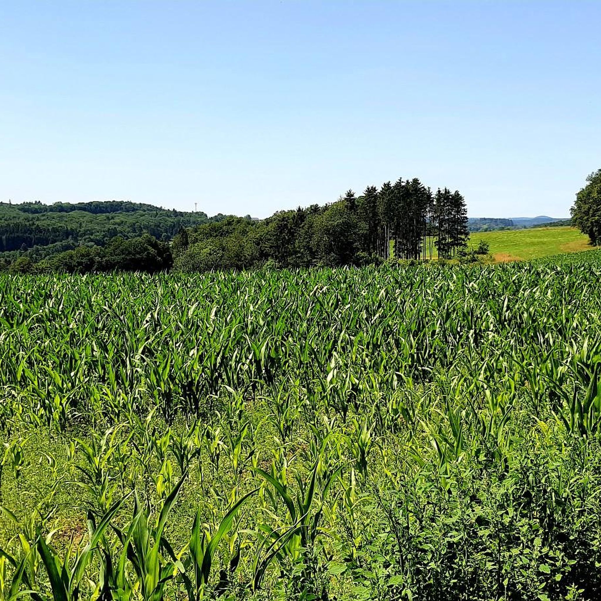
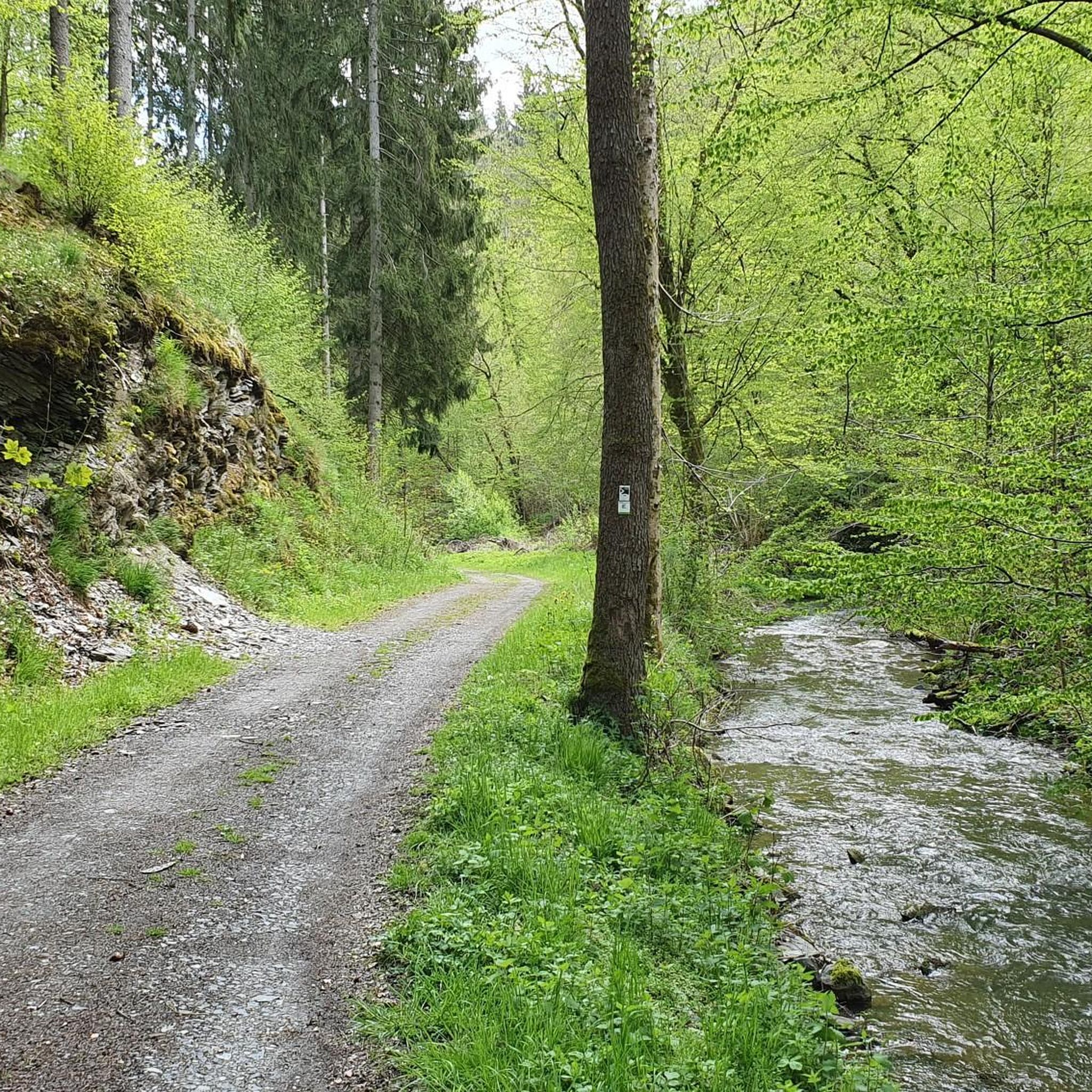
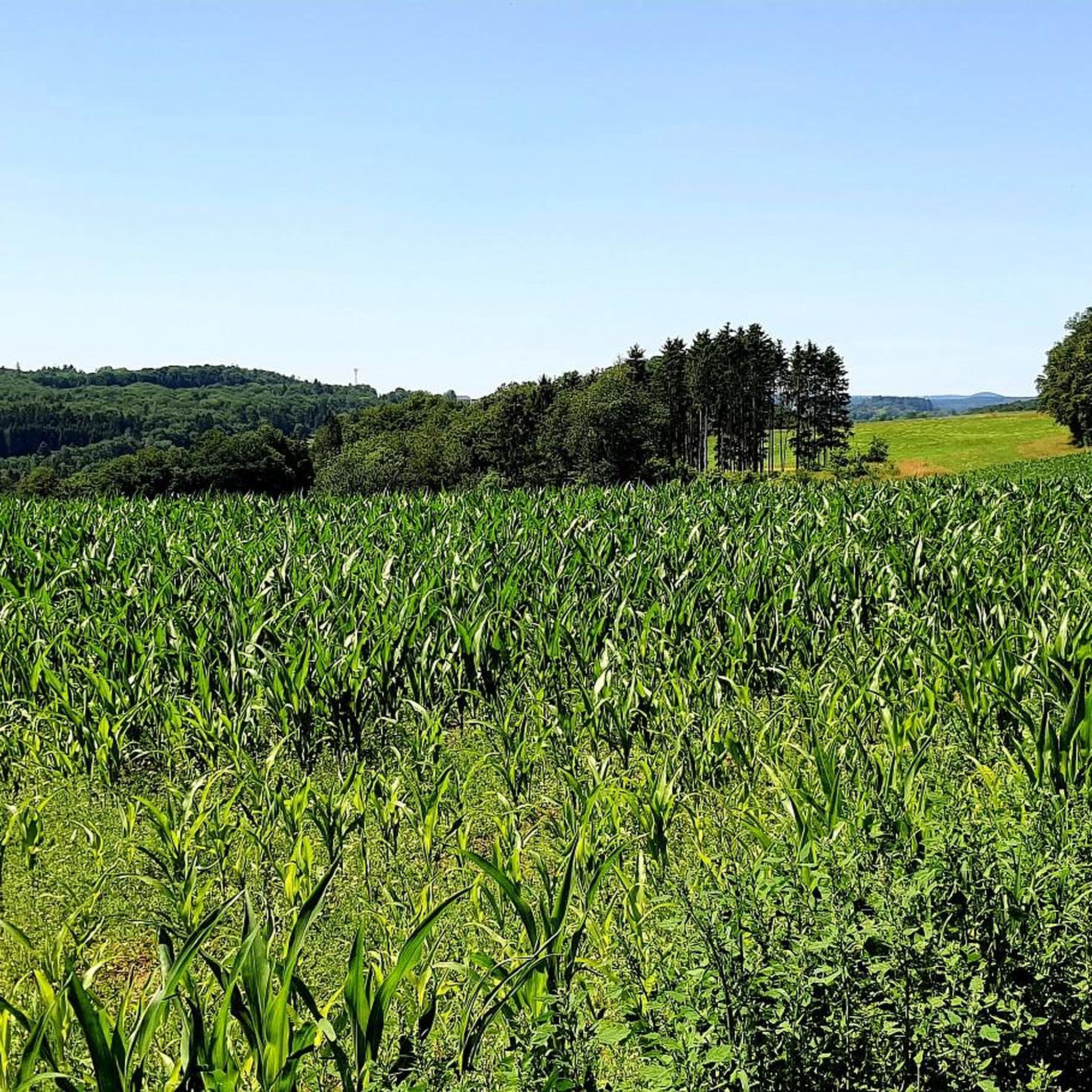
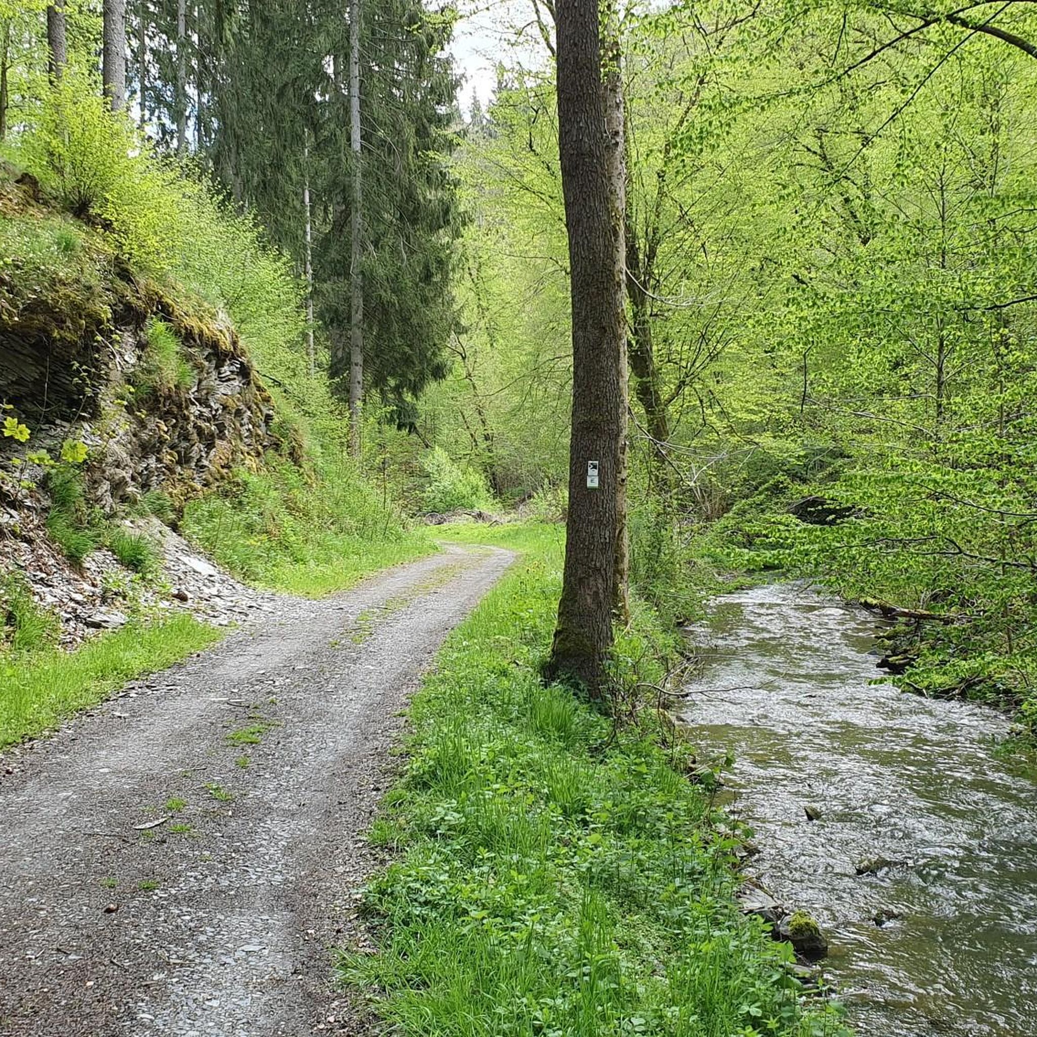
Road cycling in Hochpochtener Wald features routes through forested and hilly terrain, primarily on paved roads that skirt the core natural areas. The region is characterized by rolling hills and deep valleys, providing both ascents and descents. Extensive beech and oak forests, along with diverse topography, define the landscape. Some routes present significant elevation challenges, requiring good fitness.
Best road cycling routes in Hochpochtener Wald
- The most popular road cycling route is About the Kölnische Höfe loop from Müllenbach,…
Last updated: May 14, 2026
5.0
(1)
16
riders
39.5km
01:55
520m
520m
Moderate road ride. Good fitness required. Some segments of this route may be unpaved and difficult to ride.
5.0
(5)
11
riders
34.9km
01:54
720m
720m
Moderate road ride. Good fitness required. Mostly well-paved surfaces and easy to ride.

Sign up for free
1
riders
44.7km
02:58
570m
570m
Moderate road ride. Good fitness required. Some segments of this route may be unpaved and difficult to ride.
5.0
(1)
46
riders
Moderate road ride. Good fitness required. Mostly well-paved surfaces and easy to ride.
11
riders
37.8km
01:49
470m
470m
Moderate road ride. Good fitness required. Some segments of this route may be unpaved and difficult to ride.
Get access to more routes and recommendations from other explorers.
Sign up for free
Already have an account?
Our route recommendations are based on thousands of hikes, rides, and runs completed by other people on komoot.
Start today with a free account
Your next adventure awaits.
Login or Signup

Tips from the Community

Simply very beautiful to look at
0
0

From 13:00 o'clock many people are out and about when the sun ☀️ shines
0
0
Great route along the water, there is a lot to see, but yes there is also a lot going on on the cycle path
2
0

The lower castle has completely disappeared. You can still see the beginning of the ring that connected the lower castle and the Ulmen city wall, a two-story outer wall of the palace, as well as a cistern and some foundation walls of other buildings. The old part of Ulmen Castle was built around 1074 AD and likely rests on the remains of a Roman settlement. In the Middle Ages, Ulmen Castle was further expanded and divided into the upper castle, whose remains of the walls still exist, and the lower castle, which extended to the banks of the maar river. Two knightly families lived in the castle, which is believed to have never been attacked or destroyed until 1673 due to its size. Only the Sun King's troops succeeded. It was rebuilt, but fell again in 1689 during the War of the Succession. However, Ulmen Castle was also rebuilt this time, with only the city wall being abandoned. With the invasion of Napoleon's soldiers, Ulmen also became French and later Prussian. The empty castle, whose last descendant died in 1801, was auctioned to a merchant from Cochem, who sold it as a quarry. When a devastating fire burned Ulmen to the ground in the 19th century, the residents of Ulmen rebuilt their houses with stones from the castle. That's why you can still see a coat of arms on some of the stables today. It wasn't until the early twentieth century that Ulmen Castle was declared a listed building and became the property of the municipality of Ulmen. The castle is always freely accessible.
7
0

Not far from the beautiful viewpoint in Höchstberg is the Ulmener Maar
0
0

The fountain "Maarspautzer" is located at the Ulmener Maar and is impressive to look at.
3
0

The Maare-Mosel cycle path is a real highlight - especially with the impressive viaducts and the former railway tunnels, which bring a touch of adventure to the tour. The path leads through beautiful landscapes, and a short break at the rest area near Gillenfeld is ideal for recharging your batteries and enjoying nature. This stop is perfect for relaxing and enjoying the view over the Eifel before continuing on. A highly recommended cycle path that combines nature and a piece of railway history!
1
0

surprising sight when walking the theme path in our direction
0
0
Frequently Asked Questions
How many road cycling routes are available in Hochpochtener Wald?
There are over 200 road cycling routes available in Hochpochtener Wald, catering to various skill levels. This includes 6 easy routes, 125 moderate routes, and 84 difficult routes, offering diverse terrain and elevation challenges.
What kind of terrain can I expect when road cycling in Hochpochtener Wald?
Road cycling in Hochpochtener Wald primarily takes place on paved roads on the periphery of the core natural areas. You can expect routes through dense forested areas and hilly terrain, with varying degrees of elevation gain. Some routes require very good fitness due to significant climbs.
Are there any family-friendly road cycling routes in Hochpochtener Wald?
Yes, Hochpochtener Wald offers a selection of routes suitable for families. There are 6 routes classified as easy, which are generally shorter and have less elevation, making them more accessible for a family outing. For example, the About the Kölnische Höfe loop from Müllenbach is a moderate option that can be enjoyed by those with some cycling experience.
Can I bring my dog on the road cycling routes in Hochpochtener Wald?
While dogs are generally welcome in the wider region, road cycling routes are typically on paved roads where dogs would need to be kept on a leash or in a suitable carrier. The core natural areas, like the Endert Valley, are primarily hiking trails and not suitable for cycling, especially with dogs, due to rocky paths.
What are some notable landmarks or points of interest I might see while road cycling?
While the most scenic natural paths of the Endert Valley are restricted for cyclists, the surrounding areas offer points of interest. For example, the View of Cochem Castle – View of Reichsburg Cochem loop from Müllenbach offers views of the impressive Cochem Castle. Another route, the View of Cochem Castle (Reichsburg Cochem) – Maria Engelport Monastery loop from Büchel, passes historical sites like the Maria Engelport Monastery.
Are there any circular road cycling routes in Hochpochtener Wald?
Yes, many of the road cycling routes in Hochpochtener Wald are designed as loops, allowing you to start and end at the same point. Examples include the popular About the Kölnische Höfe loop from Müllenbach and the challenging View of Cochem Castle (Reichsburg Cochem) – Maria Engelport Monastery loop from Büchel.
What do other road cyclists say about the routes in Hochpochtener Wald?
The road cycling routes in Hochpochtener Wald are highly rated by the komoot community, with an average score of 4.6 stars from over 240 reviews. Cyclists often praise the diverse terrain, the scenic forested roads, and the variety of routes available for different ability levels.
Are there any challenging road cycling routes for experienced riders?
Absolutely. Hochpochtener Wald offers 84 routes classified as difficult, featuring substantial climbs and longer distances. An example is the View of Cochem Castle (Reichsburg Cochem) – Maria Engelport Monastery loop from Büchel, an 82.4 km trail with over 1300 meters of elevation gain, often completed in about 4 hours 14 minutes.
Where can I find parking for road cycling routes in Hochpochtener Wald?
Specific parking information varies by route starting point. Many routes, such as those starting from Müllenbach or Büchel, typically have designated parking areas nearby. It's advisable to check the individual route details on komoot for precise parking locations before your ride.
Is public transport available to access road cycling routes in Hochpochtener Wald?
While the region has public transport options, direct access to specific road cycling route starting points might require some planning. It's recommended to research local bus or train connections to towns like Müllenbach or Büchel, and then plan your ride from there. Public transport availability can vary, so checking schedules in advance is always a good idea.
Are there any waterfalls or unique natural features accessible by road bike?
The most prominent natural feature, the Rausch waterfall in the Endert Valley, is located within a hiking-only area and is not accessible by road bike due to rocky paths. Road cycling routes focus on paved roads around the periphery, offering scenic views of the forested landscape rather than direct access to such specific natural features.
What is the best time of year to go road cycling in Hochpochtener Wald?
The best time for road cycling in Hochpochtener Wald is generally during spring, summer, and early autumn. These seasons offer more favorable weather conditions, with less rain and comfortable temperatures, making the hilly and forested routes more enjoyable. Always check the local weather forecast before heading out.
Most popular routes in Hochpochtener Wald
Most popular attractions in Hochpochtener Wald

Get inspired with the komoot mobile app


Explore more
Browse the best Road cycling routes in other regions.
