The best running trails in Bois De Silly - Bois De Ligne - Bois D'Enghien (Maquis De Saint-Marcoult)
4.1
(75)
2,765
runners
14
runs
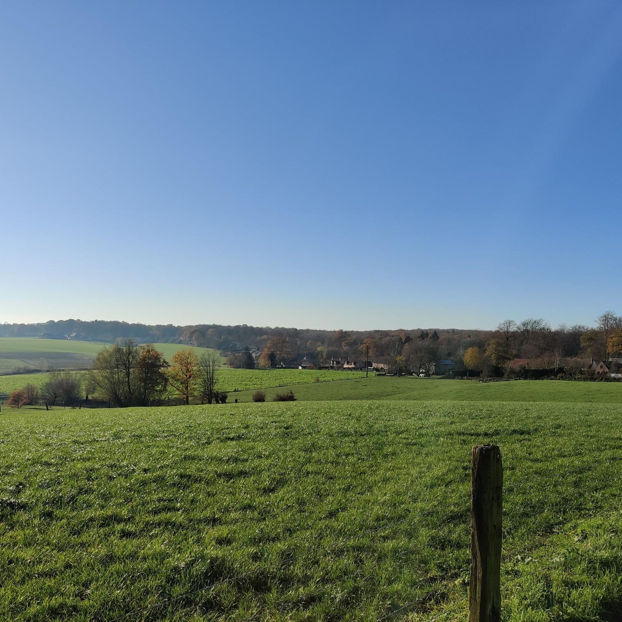
Jogging routes in Bois De Silly - Bois De Ligne - Bois D'Enghien (Maquis De Saint-Marcoult) traverse an expansive deciduous forest massif, recognized as a Natura 2000 protected zone. The terrain features a network of well-maintained paths, including gravel rides, suitable for various levels of physical activity. Runners will encounter both flat sections and hilly countryside, with moderate elevation changes. The Sille river originates within the Silly forest, contributing to the natural landscape.
Best jogging routes in Bois De Silly…
Last updated: May 23, 2026
5.0
(2)
53
runners
11.9km
01:17
160m
160m
Moderate run. Good fitness required. Mostly paved surfaces. Suitable for all skill levels.
41
runners
10.3km
01:10
130m
130m
Moderate run. Good fitness required. Mostly paved surfaces. Suitable for all skill levels.

Sign up for free
12
runners
8.59km
00:54
100m
100m
Moderate run. Good fitness required. Mostly paved surfaces. Suitable for all skill levels.
10
runners
7.45km
00:49
80m
80m
Moderate run. Good fitness required. Mostly paved surfaces. Suitable for all skill levels.
4.0
(1)
9
runners
6.00km
00:39
70m
70m
Moderate run. Good fitness required. Mostly paved surfaces. Suitable for all skill levels.
Get access to more routes and recommendations from other explorers.
Sign up for free
Already have an account?
Our route recommendations are based on thousands of hikes, rides, and runs completed by other people on komoot.
Start today with a free account
Your next adventure awaits.
Login or Signup
Popular around Bois De Silly - Bois De Ligne - Bois D'Enghien (Maquis De Saint-Marcoult)
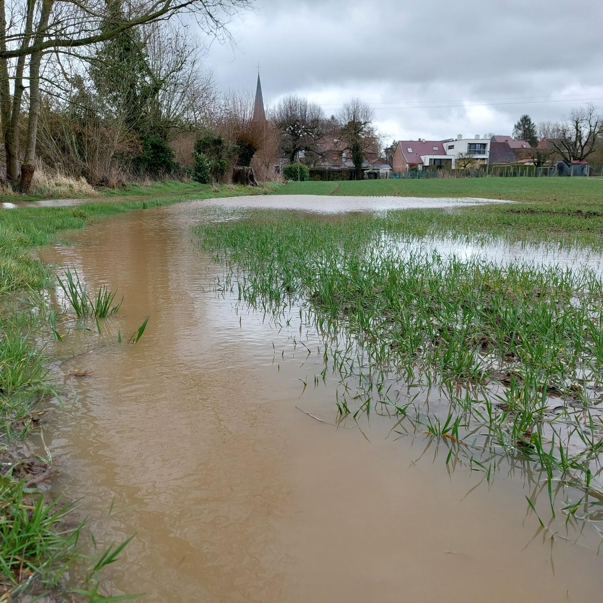
Hiking in Bois De Silly - Bois De Ligne - Bois D'Enghien (Maquis De Saint-Marcoult)
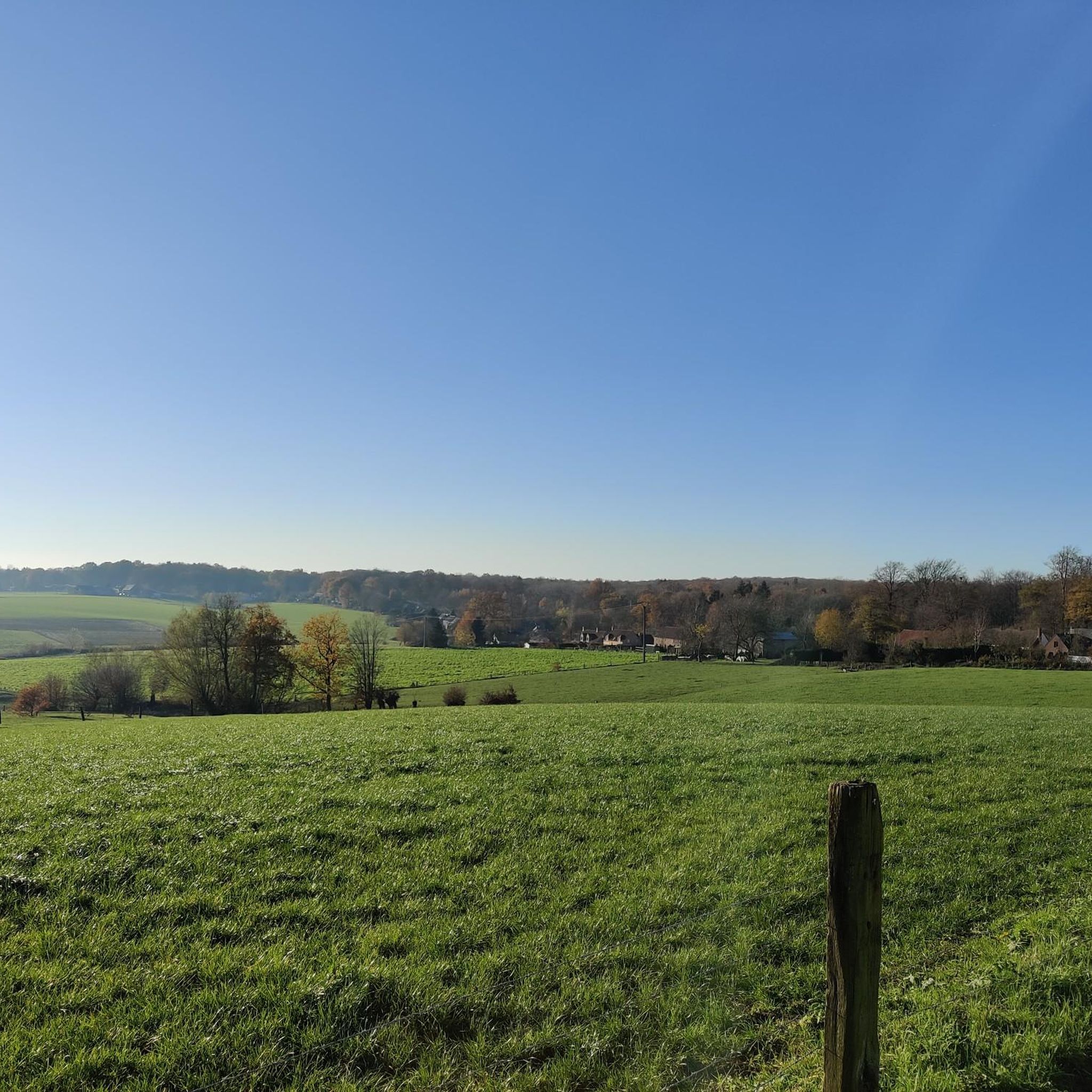
Road Cycling Routes in Bois De Silly - Bois De Ligne - Bois D'Enghien (Maquis De Saint-Marcoult)
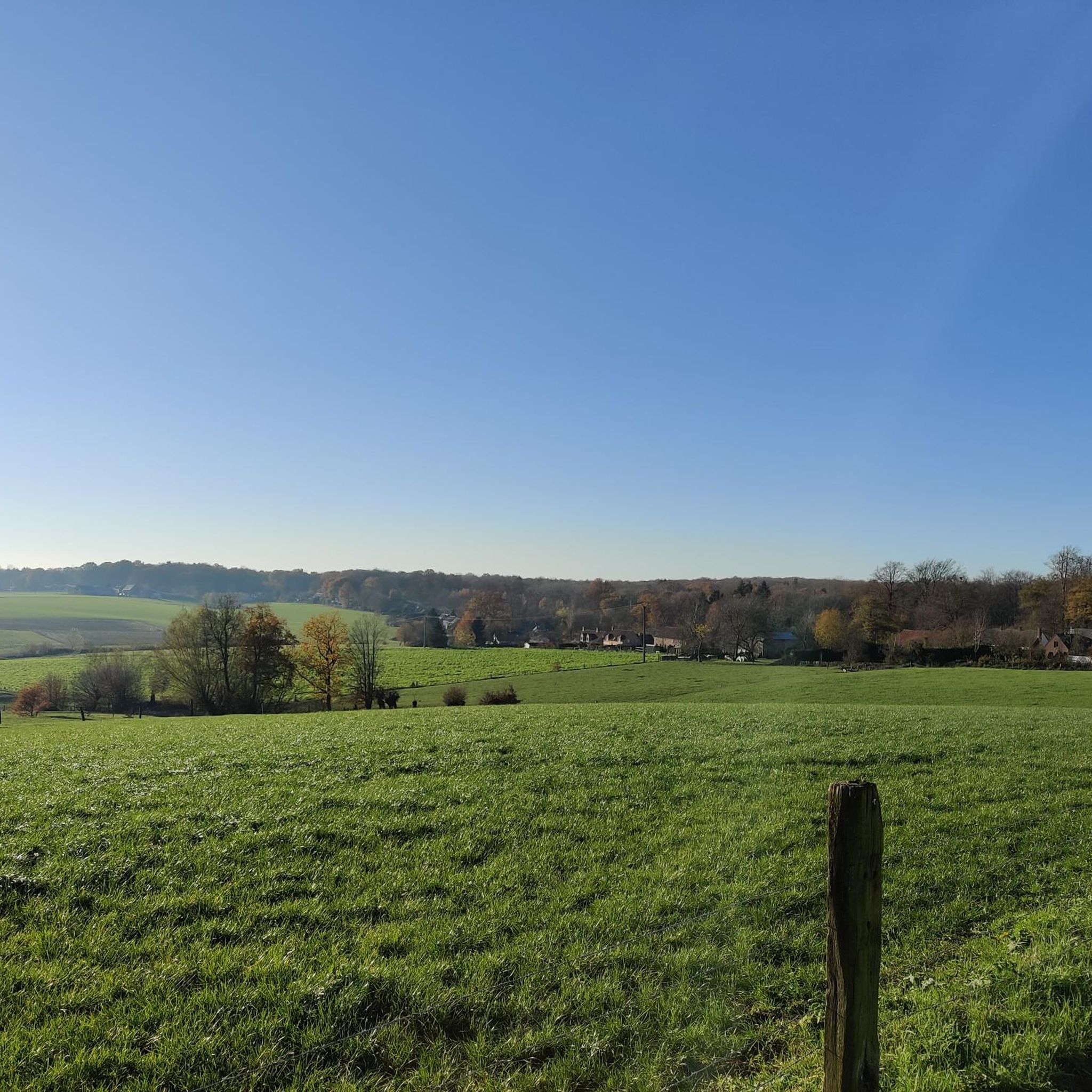
MTB Trails in Bois De Silly - Bois De Ligne - Bois D'Enghien (Maquis De Saint-Marcoult)
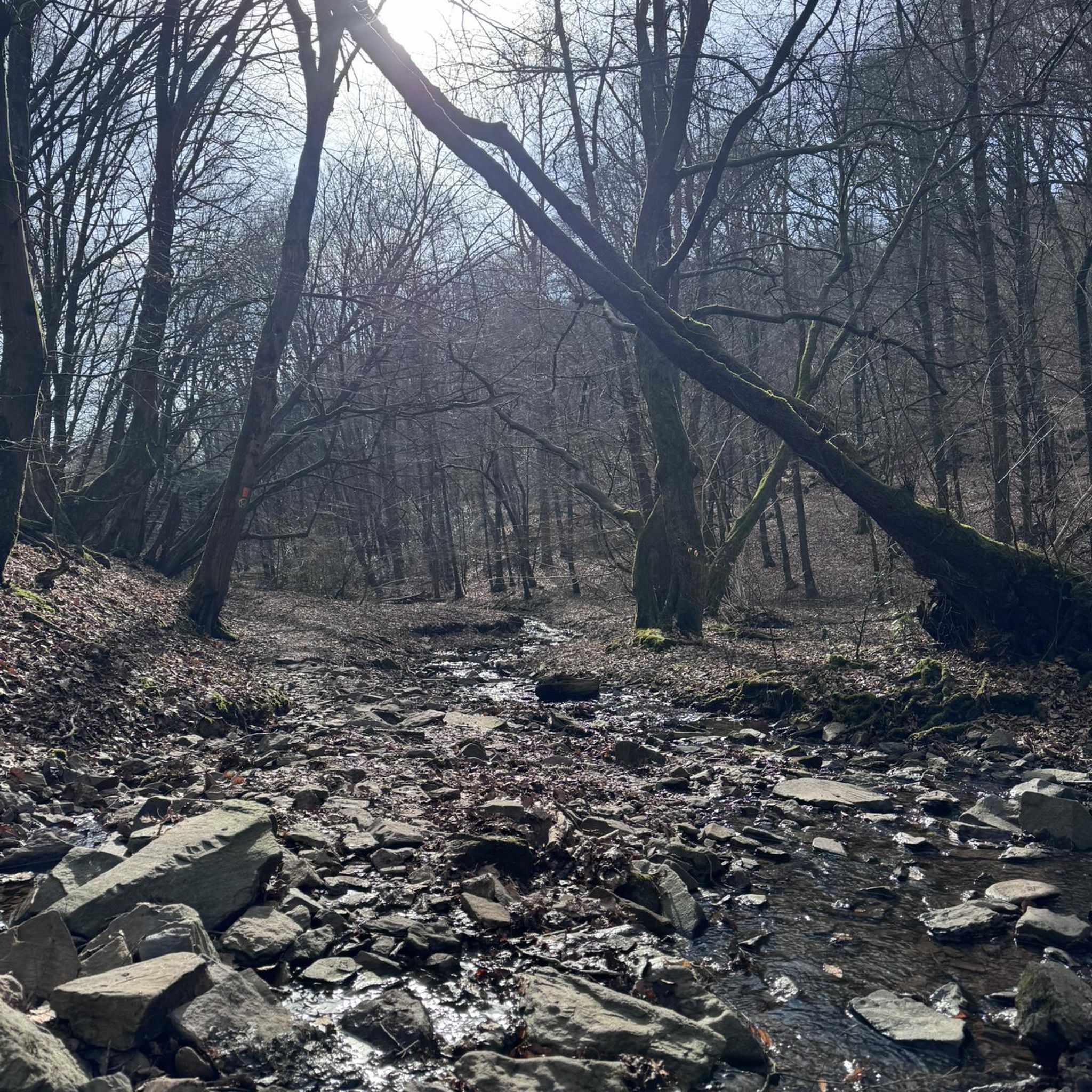
Gravel biking in Bois De Silly - Bois De Ligne - Bois D'Enghien (Maquis De Saint-Marcoult)
Cycling in Bois De Silly - Bois De Ligne - Bois D'Enghien (Maquis De Saint-Marcoult)
Tips from the Community

Beautiful landscape in Hainaut
0
0


An exciting and challenging mountain bike trail for technical riders. The narrow path winds through dense forests and is full of roots, sharp turns and short, punchy descents that require technique and concentration. This trail combines the beauty of the forest with the perfect dose of adventure – ideal for those who like to test their MTB skills in a beautiful, natural environment.
1
0


Beautiful winding road through the forest. On good days it can be quite busy here with the walkers.
0
0

The good man, Mr. Biloute
4
0

Beautiful climb through the forest of Opzullik, which is part of NATURA-2000 and under European protection.
1
0
Beautiful passage through the forest (of Opzullik) which is European protected as part of the Natura 2000 area 'Bois d'Enghien et de Silly'.
1
0
Frequently Asked Questions
What kind of terrain can I expect on the running routes in Bois De Silly - Bois De Ligne - Bois D'Enghien?
The running routes in this region traverse an expansive deciduous forest massif. You'll find a network of well-maintained paths, including gravel rides, with both flat sections and hilly countryside, offering moderate elevation changes. The Sille river also meanders through the landscape, adding to the natural beauty.
Are there running routes suitable for beginners or those looking for an easier run?
While all 12 routes listed in this guide are rated as moderate, they offer varied training options. For a slightly shorter and less strenuous option, consider the Chemin de la Balingue – Red Altar loop from Graty, which is 5.9 miles (9.6 km) long with 67m of elevation gain.
What natural features or landmarks can I see while jogging in Bois De Silly - Bois De Ligne - Bois D'Enghien?
The area is a 'green lung' with stunning natural beauty. In spring, the forest floor is blanketed with wild hyacinths, wood anemones, and wild garlic. You can also see the Sille river, which originates in the Silly forest. Notable highlights include the Forest Road in Forêt Domaniale de Silly and Silly Wood itself.
Are there any historical sites along the running paths in the Maquis de Saint-Marcoult area?
Yes, the region is rich in history, particularly related to the 'Maquis de Saint-Marcoult' and the local Resistance during World War II. The Saint-Marcoult Maquis loop from Graty specifically combines natural forest paths with historical sites. You can also find the Chapel of Our Lady of the Afflicted, Enghien Wood, which is part of this historical context.
Is parking available near the running trails?
While specific parking locations for each trail are not detailed here, the area is described as 'easily accessible,' suggesting that parking options are generally available near trailheads or in nearby villages like Silly and Graty. It's advisable to check local signage upon arrival.
Can I reach the running routes by public transport?
The region is generally accessible, but specific public transport links directly to trailheads are not provided. For detailed information on public transport options to the Bois De Silly - Bois De Ligne - Bois D'Enghien area, it's best to consult local transport authorities or plan your journey using online mapping services.
Are dogs allowed on the running trails?
The Bois De Silly - Bois De Ligne - Bois D'Enghien area is a natural environment, and generally, dogs are welcome on trails, often on a leash. However, specific regulations can vary, especially within protected zones like Natura 2000 sites. Always look for local signage regarding pet policies.
Are the running routes suitable for families?
Many paths in the Bois De Silly - Bois De Ligne - Bois D'Enghien are described as 'easily accessible' and suitable for various levels of physical activity, making them generally suitable for families. The diverse landscapes and historical sites can also add an engaging element for children. For a moderate family run, consider the Silly Town Hall – Church of the Holy Virgin loop from Silly, which is 4.6 miles (7.4 km) long.
Are there circular running routes in Bois De Silly - Bois De Ligne - Bois D'Enghien?
Yes, many of the running routes in this guide are circular, allowing you to start and end at the same point. Examples include the Graty Climb – Red Altar loop from Silly and the Running loop from Silly.
What is the typical length of running routes in this region?
The running routes in this guide vary in length, generally ranging from approximately 3.7 miles (5.9 km) to 7.4 miles (11.9 km). This offers a good variety for different training goals and time availability.
When is the best time of year to go running in Bois De Silly - Bois De Ligne - Bois D'Enghien?
The area is beautiful year-round, but spring is particularly stunning when the forest floor is blanketed with wild hyacinths, wood anemones, and wild garlic, creating a vibrant and fragrant environment. Autumn also offers picturesque scenery with changing leaf colors. Always check local weather conditions before heading out.
What do other runners enjoy the most about jogging in Bois De Silly - Bois De Ligne - Bois D'Enghien?
The area is highly rated by the komoot community, with an average score of 4.2 stars from over 70 reviews. Runners often praise the diverse natural landscapes, the well-maintained paths suitable for various levels, and the unique blend of exercise with historical discovery, particularly around the Maquis de Saint-Marcoult.
Most popular routes in Bois De Silly - Bois De Ligne - Bois D'Enghien (Maquis De Saint-Marcoult)
Most popular attractions in Bois De Silly - Bois De Ligne - Bois D'Enghien (Maquis De Saint-Marcoult)

Get inspired with the komoot mobile app


Explore more
Browse the best Running Trails & Routes in other regions.
