The best cycling routes in Forêt De Vignacourt
4.5
(316)
2,233
riders
132
rides
Touring cycling in Forêt De Vignacourt offers varied terrain suitable for different skill levels, characterized by a natural forest environment. The region features a mix of fields and forests, providing diverse landscapes for exploration. Cyclists can expect routes with both paved and unpaved sections, including some with notable elevation gains. This area is part of a larger network promoting cycling tourism, often utilizing greenways and secondary roads.
Best touring cycling routes in Forêt De Vignacourt
- The most popular touring cycling…
Last updated: June 26, 2026
6
riders
38.4km
03:15
460m
460m
Hard bike ride. Very good fitness required. Mostly paved surfaces. Suitable for all skill levels.
4.8
(17)
91
riders
45.7km
02:45
100m
100m
Moderate bike ride. Good fitness required. Mostly paved surfaces. Suitable for all skill levels.

Sign up for free
11
riders
39.4km
03:04
290m
290m
Moderate bike ride. Good fitness required. Mostly paved surfaces. Suitable for all skill levels.
10
riders
44.1km
03:30
360m
360m
Moderate bike ride. Good fitness required. Mostly paved surfaces. Suitable for all skill levels.
5
riders
Easy bike ride. Great for any fitness level. Mostly paved surfaces. Suitable for all skill levels.
Get access to more routes and recommendations from other explorers.
Sign up for free
Already have an account?
Our route recommendations are based on thousands of hikes, rides, and runs completed by other people on komoot.
Start today with a free account
Your next adventure awaits.
Login or Signup

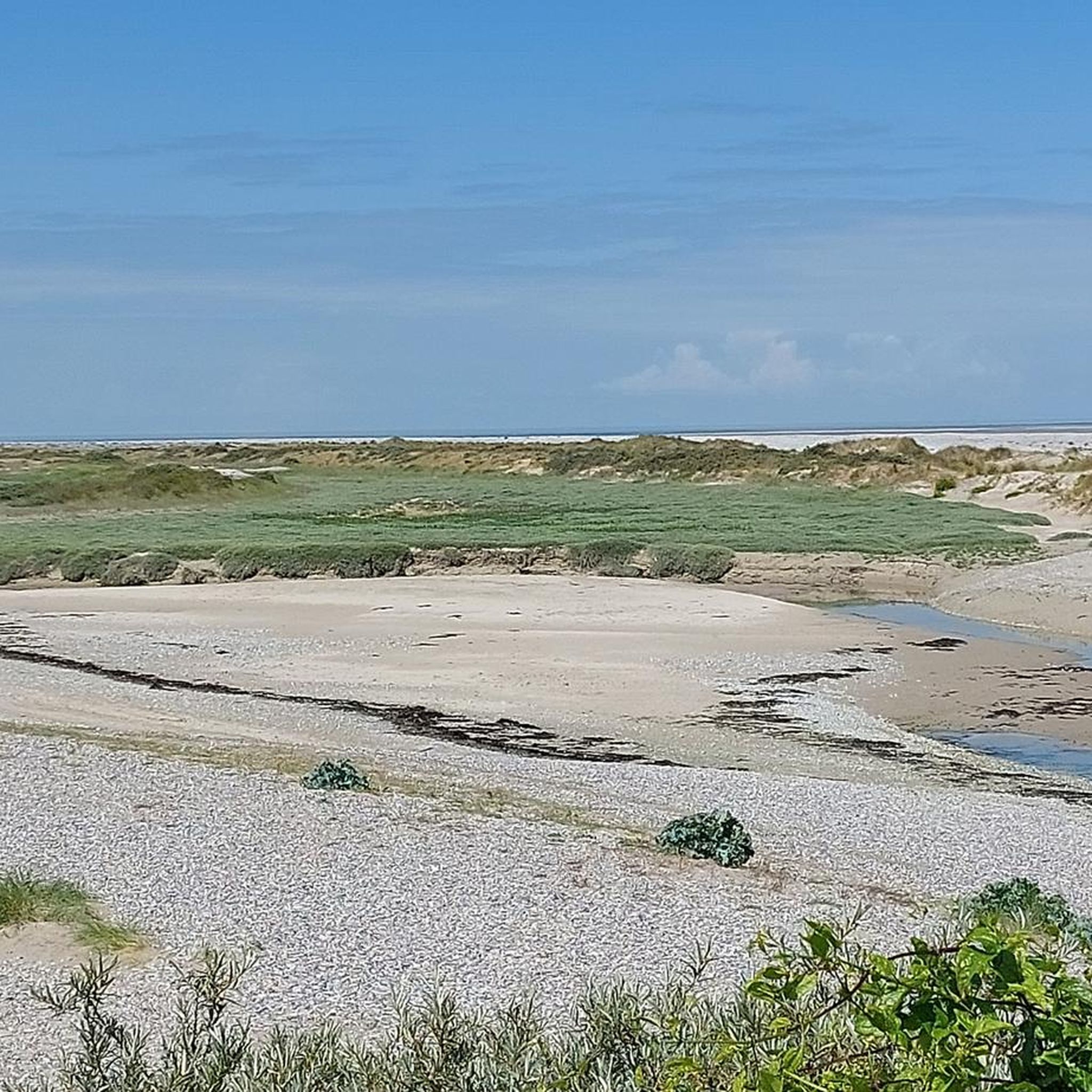
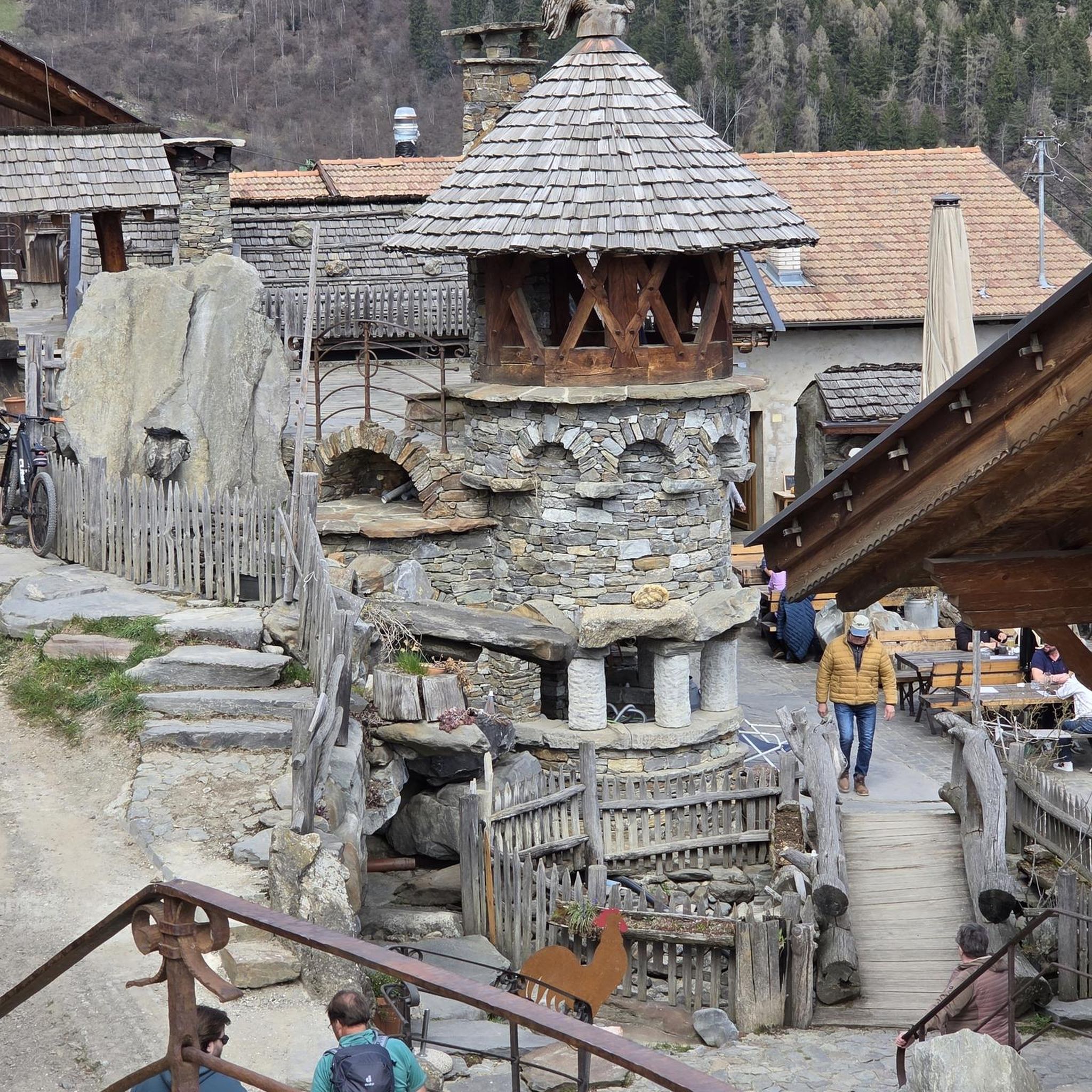
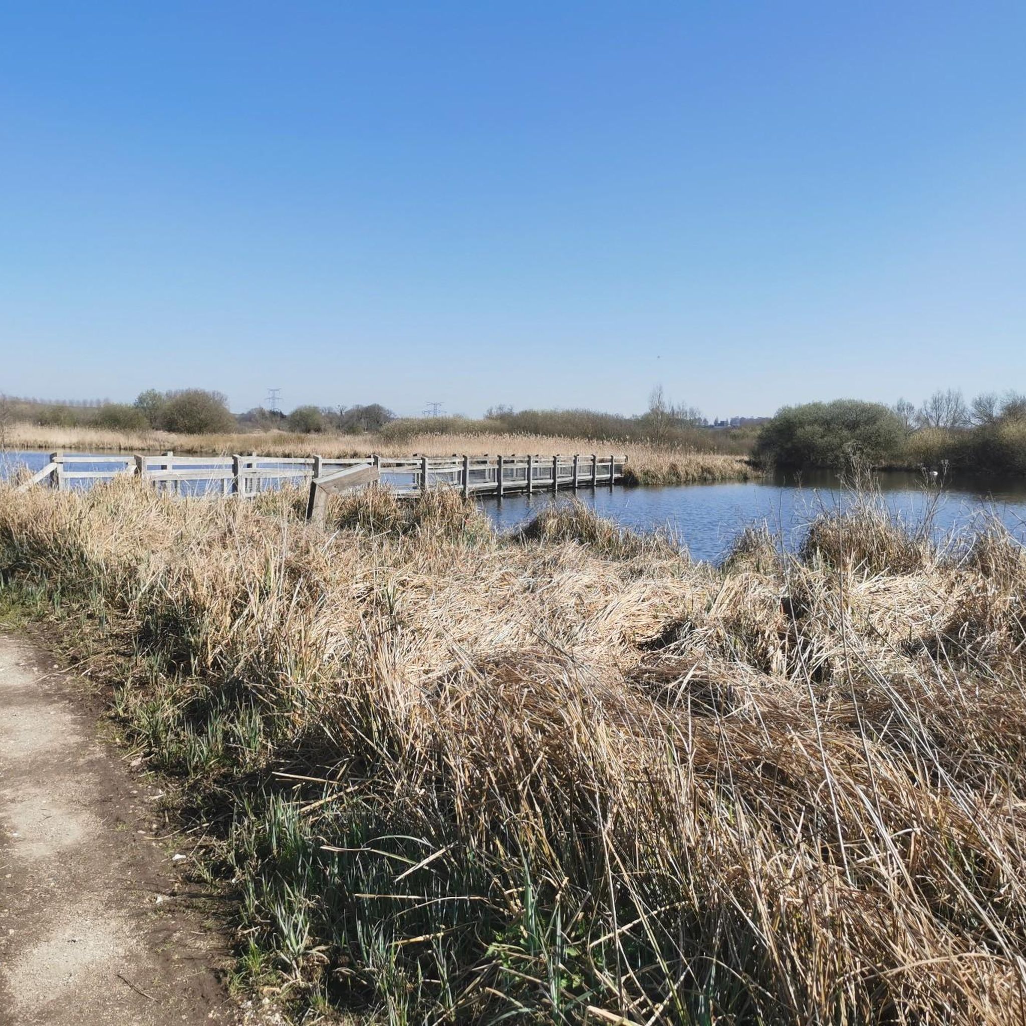

Tips from the Community

Bordered to the north by the Samara estate and to the south by the Somme, the Tirancourt marsh, with its wild and preserved character, is home to a great diversity of environments and several animal and plant species typical of alkaline peat bogs, often rare and endangered species. Among the most emblematic species of this marsh is the Great Spearwort (Ranunculus lingua), a protected buttercup over 1 meter tall which has significant populations here. During your walk, keep your eyes peeled, you might spot the Fjord horses or Nantais cows that graze the site for part of the year. www.cen-hautsdefrance.org/site/le-marais-de-tirancourt/
0
0

Magnificent castle, witness to a flourishing industrial past.
0
0


take a right and a nice little detour
0
0
There are other routes nearby.
0
0

Ideal for a break, filling water bottles, etc.
0
0
More or less smooth paths to explore.
0
0
Frequently Asked Questions
How many touring cycling routes are available in Forêt De Vignacourt?
There are over 130 touring cycling routes in Forêt De Vignacourt, offering a wide range of options for different skill levels. This includes 38 easy routes, 70 moderate routes, and 23 difficult routes.
What kind of terrain can I expect on touring cycling routes in Forêt De Vignacourt?
The terrain in Forêt De Vignacourt is varied, featuring a mix of fields and forests. Cyclists can expect both paved and unpaved sections, with some routes including significant elevation gains. The area utilizes greenways, cycle paths, and secondary roads, providing diverse landscapes for exploration.
Are there any challenging touring cycling routes for experienced riders?
Yes, Forêt De Vignacourt offers several challenging routes. For instance, The Hortillonnages – Towpath loop from Vignacourt is a difficult 91.6 km route with 276 meters of elevation gain, often taking over 5 hours. Another demanding option is the Bike loop from Vignacourt, a 38.4 km path with 465 meters of elevation gain.
Are there any moderate touring cycling routes in the area?
Absolutely. A popular moderate route is the Picnic Tables – Panorama samara loop from Vignacourt, which is 39.4 km long with 291 meters of elevation gain, typically completed in about 3 hours. Another great option is the Picnic Area by the Canal – Picquigny castle loop from Vignacourt, a 44.1 km route with 358 meters of elevation gain.
What are the best times of year to go touring cycling in Forêt De Vignacourt?
The region, part of Hauts-de-France, generally offers pleasant conditions for cycling during spring, summer, and early autumn. These seasons provide a serene and rejuvenating atmosphere with diverse flora and fauna. Always check local weather forecasts before heading out.
Are there any circular touring cycling routes in Forêt De Vignacourt?
Many of the routes in Forêt De Vignacourt are designed as loops, making them convenient for touring cyclists. Examples include The Hortillonnages – Towpath loop from Vignacourt and the Picnic Tables – Panorama samara loop from Vignacourt, allowing you to start and finish at the same point.
What do other touring cyclists say about the routes in Forêt De Vignacourt?
The touring cycling routes in Forêt De Vignacourt are highly rated by the komoot community, with an average score of 4.4 stars from over 270 reviews. Cyclists often praise the varied terrain, the natural forest environment, and the well-established network of paths that cater to different ability levels.
Are there any notable landmarks or points of interest along the touring cycling routes?
While specific distinct natural landmarks within the immediate Forêt De Vignacourt are not extensively detailed, the region itself offers varied landscapes combining fields and forests. Routes like the Picnic Area by the Canal – Picquigny castle loop from Vignacourt suggest points of interest such as canals and historical sites like Picquigny castle. The Naours Underground City – Montonvillers Church loop from Vignacourt also indicates routes passing by significant cultural sites.
Is Forêt De Vignacourt part of a larger cycling network?
Yes, Forêt De Vignacourt is situated within the broader context of the Hauts-de-France region, which is known for promoting cycling tourism. The routes often utilize greenways, cycle paths, and secondary roads, connecting to a larger network across France. You can find more information about cycling tourism in France on France Vélo Tourisme.
Are there options for family-friendly touring cycling in Forêt De Vignacourt?
With 38 easy routes available, Forêt De Vignacourt offers several options suitable for families or those looking for a more relaxed ride. These routes typically feature mostly paved surfaces and less challenging elevation profiles, allowing for an enjoyable experience for all ages.
Where can I find parking for touring cycling routes in Forêt De Vignacourt?
While specific parking locations are not detailed, routes often start and end near Vignacourt, suggesting that parking facilities would be available within or near the town, or at designated trailheads. It's advisable to check the starting point of your chosen route for specific parking information.
Can I reach the touring cycling routes in Forêt De Vignacourt by public transport?
The region around Vignacourt is generally accessible, but specific public transport links directly to trailheads are not provided. For detailed information on reaching Vignacourt and surrounding areas by public transport, it is recommended to consult local transport authorities or regional tourism websites.
Most popular routes in Forêt De Vignacourt

Get inspired with the komoot mobile app


Explore more
Browse the best Cycling routes in other regions.
