The best MTB trails in Røysjømarka
4.6
(66)
227
riders
44
rides
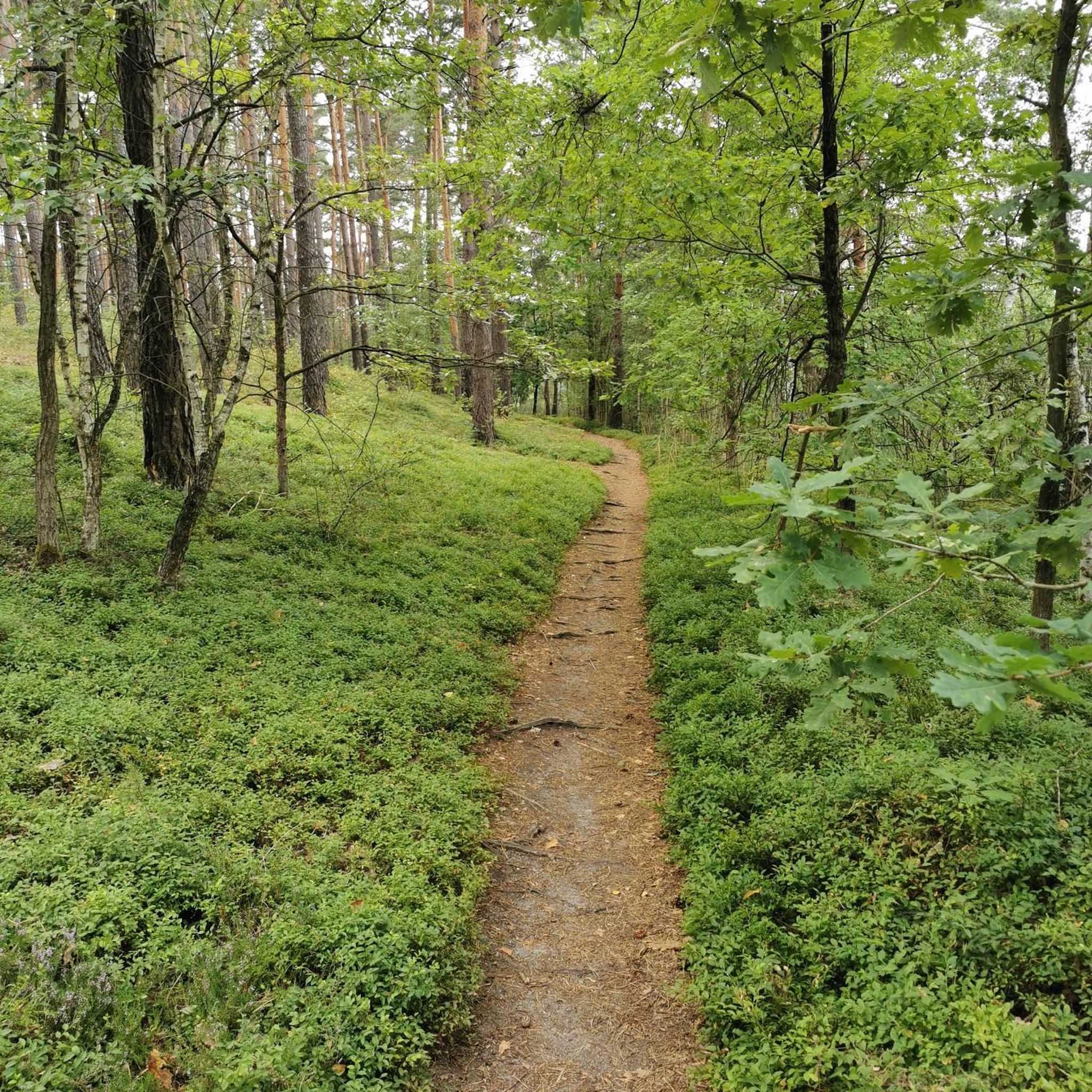
Mountain biking in Røysjømarka, located between Sande and Svelvik in Norway's Vestfold region, offers diverse and undulating terrain. The area is characterized by a hilly landscape and numerous lakes, including Røysjø, Langevann, and Føyta. Routes incorporate a mix of gravel roads, old cart tracks, and single trails, providing varied surfaces for riders. This environment is well-suited for mountain bikes, with pathways often integrated with scenic water bodies and passing through green fields.
Best mountain bike trails in Røysjømarka
- The most…
Last updated: August 8, 2026
8
riders
22.9km
01:56
350m
350m
Moderate mountain bike ride. Good fitness required. Advanced riding skills necessary.
5.0
(1)
6
riders
60.0km
03:24
500m
500m
Moderate mountain bike ride. Good fitness required. Suitable for all skill levels.

Sign up for free
3
riders
Moderate mountain bike ride. Good fitness required. Advanced riding skills necessary.
7
riders
27.5km
02:09
380m
380m
Moderate mountain bike ride. Good fitness required. Advanced riding skills necessary.
2
riders
49.5km
03:09
580m
580m
Moderate mountain bike ride. Good fitness required. Suitable for all skill levels.
Get access to more routes and recommendations from other explorers.
Sign up for free
Already have an account?
Our route recommendations are based on thousands of hikes, rides, and runs completed by other people on komoot.
Start today with a free account
Your next adventure awaits.
Login or Signup
Tips from the Community

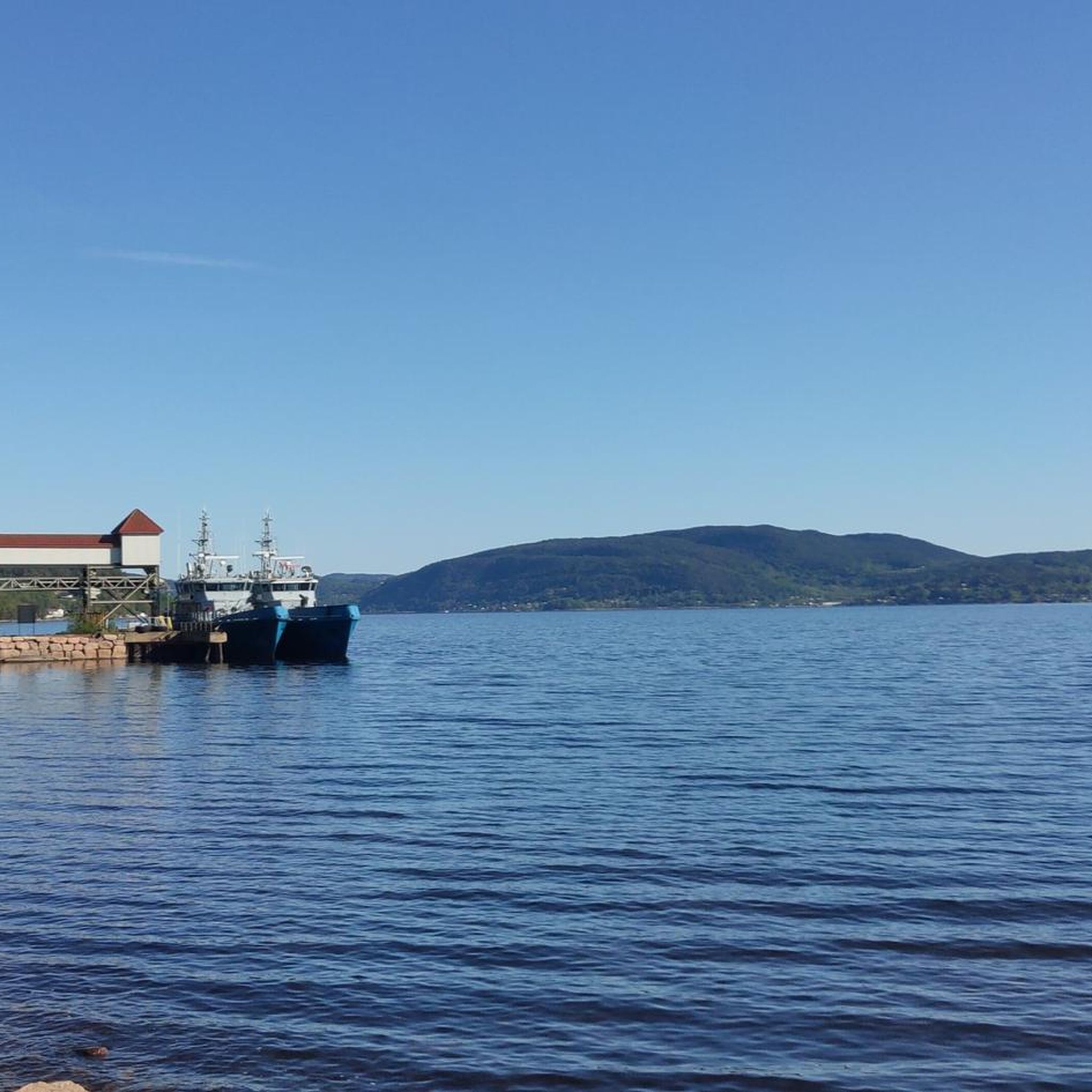
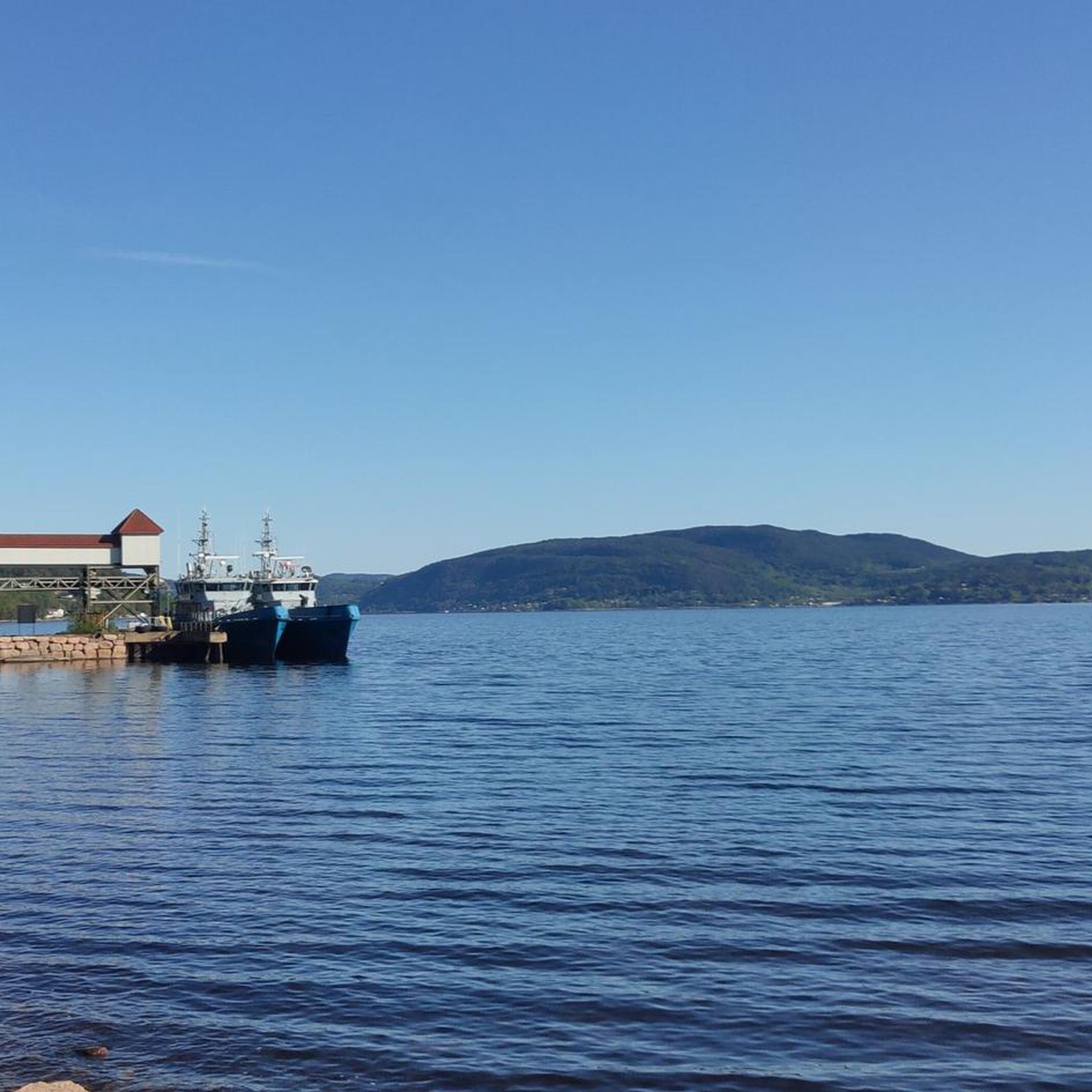
Tangenhavna lies close to the water, a quiet Norwegian harbor where the land meets the open air.
0
0
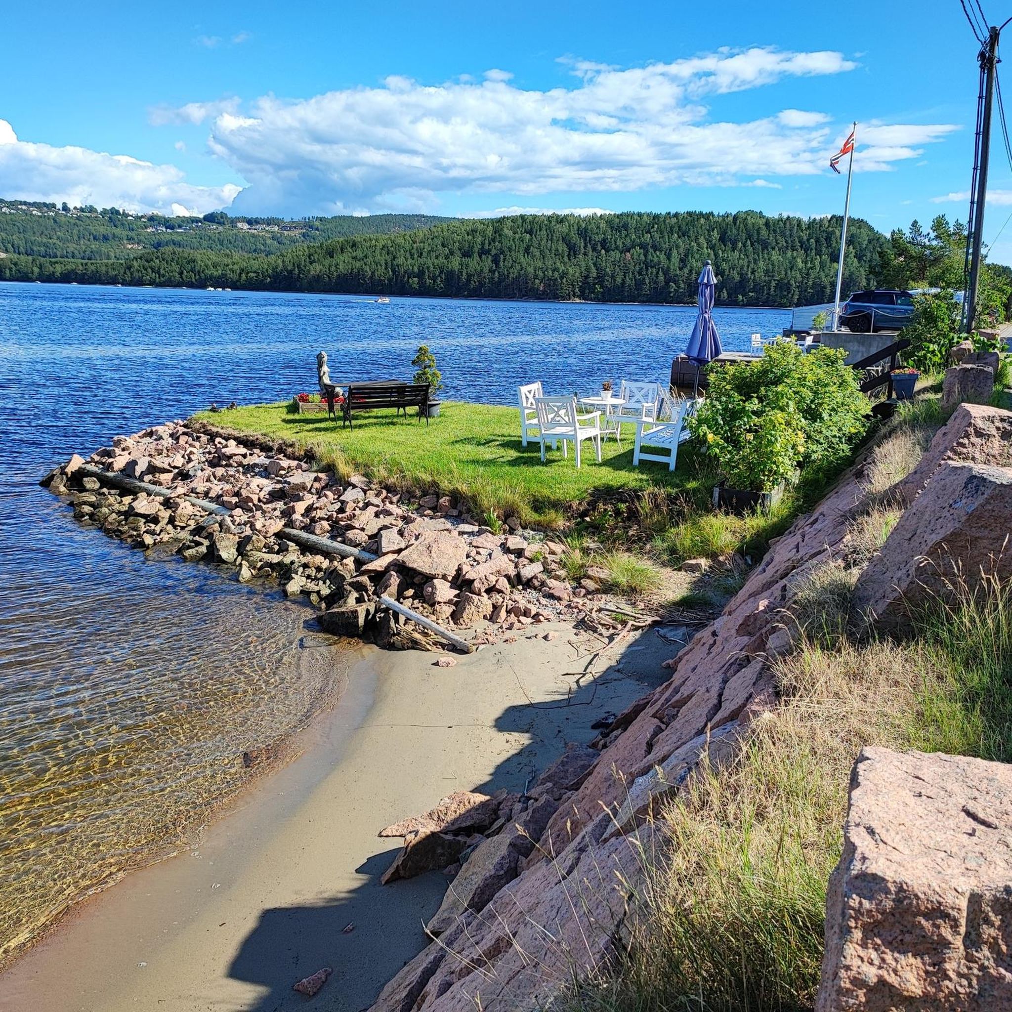
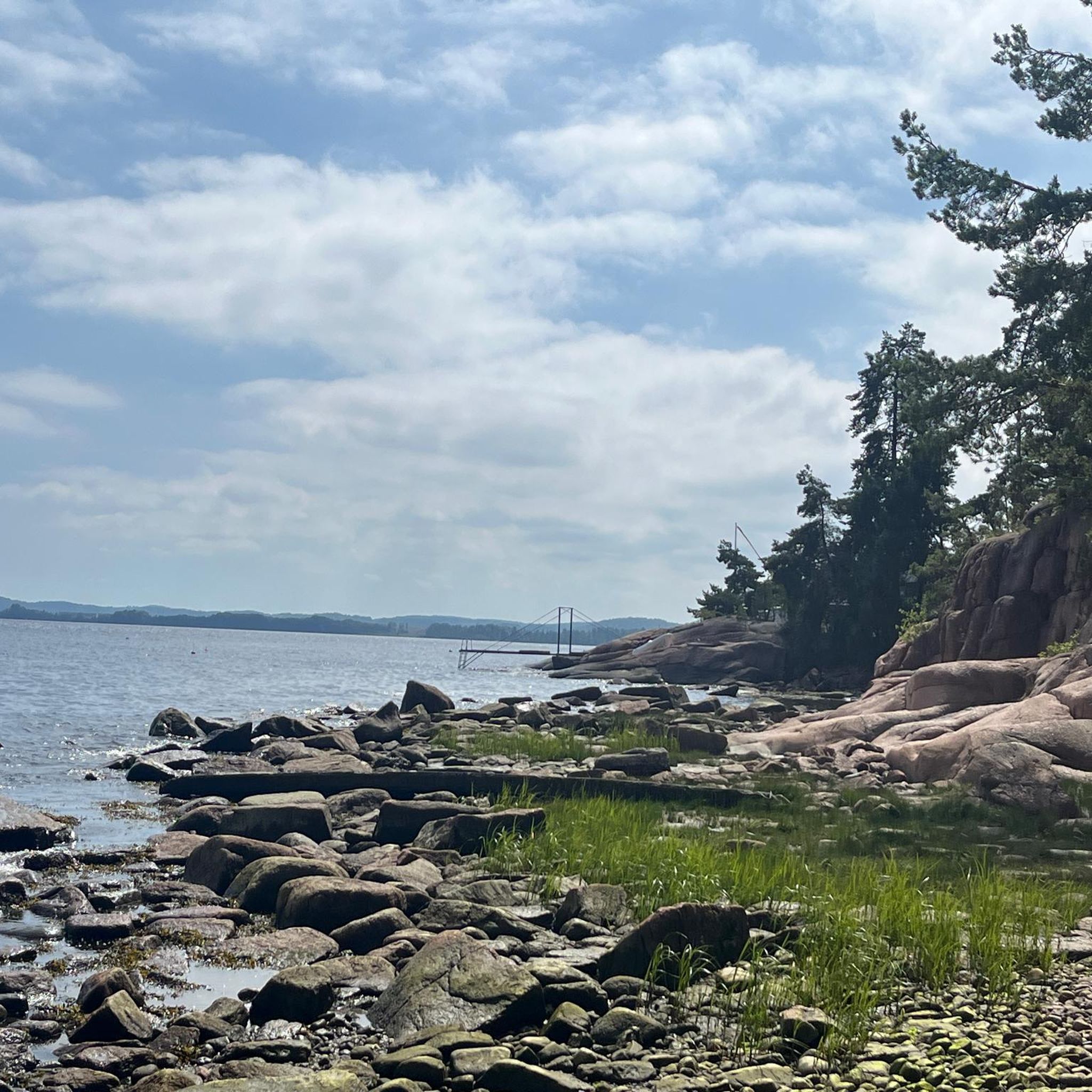
From this road and point you can get a clear view of the fjord while walking along the coast.
0
0

Sande is a town situated on the western side of the Drammensfjord, part of the larger Oslofjord. The town centre offers shops and services, making it a practical stop for supplies or a break. There is a railway station which can be used as a useful connection point for bike rides.
0
0
Frequently Asked Questions
How many mountain bike trails are available in Røysjømarka?
There are nearly 50 mountain bike trails in Røysjømarka, offering a wide range of options for different skill levels. The komoot community has explored these routes over 200 times, with an average rating of 4.6 stars.
What kind of terrain can I expect on Røysjømarka's mountain bike trails?
Røysjømarka features diverse and undulating terrain, characterized by hilly landscapes and numerous lakes. You'll encounter a mix of surfaces, including smooth gravel roads, challenging old cart tracks (kjerrevei) that can be grass-covered and technical, and fine single trails and cycle paths. This variety makes it well-suited for mountain bikes.
Are there mountain bike trails suitable for beginners in Røysjømarka?
Yes, Røysjømarka offers some easier routes. While most trails are moderate, there are 3 routes specifically rated as easy. These typically feature more accessible paths, often around lakes or on gravel roads, providing a good introduction to mountain biking in the area.
Are there any challenging mountain bike routes for experienced riders?
Absolutely. For experienced riders seeking a challenge, Røysjømarka has 11 difficult mountain bike routes. These trails often incorporate more technical sections, steeper climbs, and the 'amusing' old cart tracks that require skill and balance, such as sections along Toresvann where you might even need to dismount.
What are some longer mountain bike routes in Røysjømarka?
For those looking for a longer ride, the Sande loop from Kattholmane naturreservat is a moderate 36.8-mile (59.3 km) path that explores a significant portion of the region, passing by several lakes and natural features. Another option is the Tømmeråstjernet – Dulpen loop from Sande, which covers 30.5 miles (49.1 km).
Are there any circular mountain bike routes in Røysjømarka?
Many of the mountain bike trails in Røysjømarka are designed as loops, allowing you to start and end at the same point. Examples include the Busterudåsen – Slettås loop from Selvik skole, a 14.2-mile (22.9 km) moderate trail, and the Vestre Bjørndalsåsen – Kiruddalsåsen loop from Sandebukta landskapsvernområde, which is 15.7 miles (25.3 km).
What natural features or viewpoints can I see while mountain biking in Røysjømarka?
Røysjømarka is rich in natural beauty, with its hilly topography and numerous scenic lakes such as Røysjø, Langevann, Toresvann, Veslevann, Suluvann, and Føyta. Many routes are integrated with these water bodies, offering picturesque views. Along Føyta lake, you can also find a beautiful dam. The area also features inner roads passing through well-maintained farms and lush green fields, particularly vibrant in early summer.
What is the best season for mountain biking in Røysjømarka?
While specific seasonal conditions aren't detailed, the region's lush green fields are particularly vibrant in early summer, suggesting this could be an ideal time for scenic rides. Given the varied terrain, it's always advisable to check local weather conditions before heading out, especially after rain, as cart tracks can become muddy.
Are there family-friendly mountain bike trails in Røysjømarka?
Røysjømarka offers a range of trails, including some easier options that could be suitable for families. The presence of smooth gravel roads and fine cycle paths provides less technical terrain. For a family outing, consider routes that stick to these surfaces and avoid the more challenging old cart tracks.
What do other mountain bikers enjoy the most about mountain biking in Røysjømarka?
The komoot community highly rates Røysjømarka, with an average score of 4.6 stars from over 60 reviews. Riders often praise the diverse and undulating terrain, the picturesque views of the numerous lakes, and the varied pathways that include everything from gravel roads to challenging old cart tracks, providing an engaging experience for all skill levels.
Where can I find parking for mountain bike trails in Røysjømarka?
Many routes in Røysjømarka start from accessible points with parking. For example, a recommended 36 km route explores the area starting from a parking area east of Skoger and north of Rødsåsen. Other routes, like the Skavanken – Sukkertoppen loop from Sandviken, also indicate starting points that likely have parking facilities.
Most popular routes in Røysjømarka

Get inspired with the komoot mobile app


Explore more
Browse the best MTB trails in other regions.
