The best road cycling routes in Bröndomeskogen
4.6
(30)
1,251
riders
55
rides
Road cycling routes in Bröndomeskogen traverse a landscape characterized by forests in the Halland region, offering a mix of smooth asphalt pathways and routes passing through local landmarks. The terrain includes gentle hills, with some routes featuring moderate elevation gains. This area provides diverse cycling experiences, from coastal-adjacent paths to routes winding through rural settings.
Best road cycling routes in Bröndomeskogen
- The most popular road cycling route is Good and Fast Road – Odd Island Brewery and Pub loop from…
Last updated: October 12, 2026
5.0
(3)
55
riders
65.7km
02:40
270m
270m
Moderate road ride. Good fitness required. Mostly well-paved surfaces and easy to ride.
4.0
(1)
44
riders
35.3km
01:28
200m
190m
Easy road ride. Great for any fitness level. Mostly well-paved surfaces and easy to ride.

27
riders
100km
04:47
880m
880m
Moderate road ride. Good fitness required. Some segments of this route may be unpaved and difficult to ride.
5.0
(1)
21
riders
28.8km
01:15
160m
160m
Moderate road ride. Great for any fitness level. Some segments of this route may be unpaved and difficult to ride.
7
riders
14.9km
00:38
90m
90m
Easy road ride. Great for any fitness level. Mostly well-paved surfaces and easy to ride.
Get access to more routes and recommendations from other explorers.
Already have an account?
Our route recommendations are based on thousands of hikes, rides, and runs completed by other people on komoot.
Start today with a free account
Your next adventure awaits.
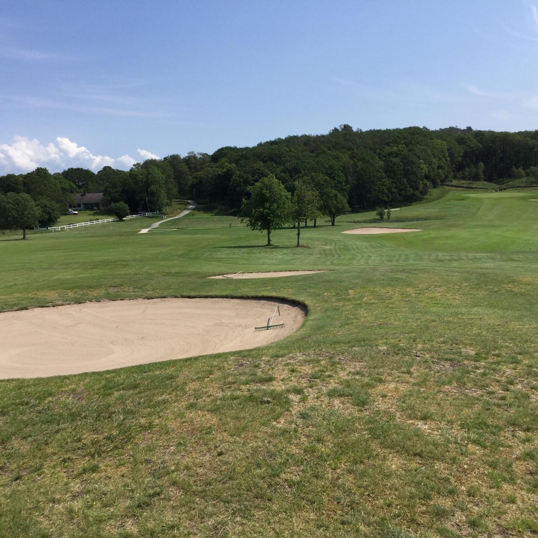
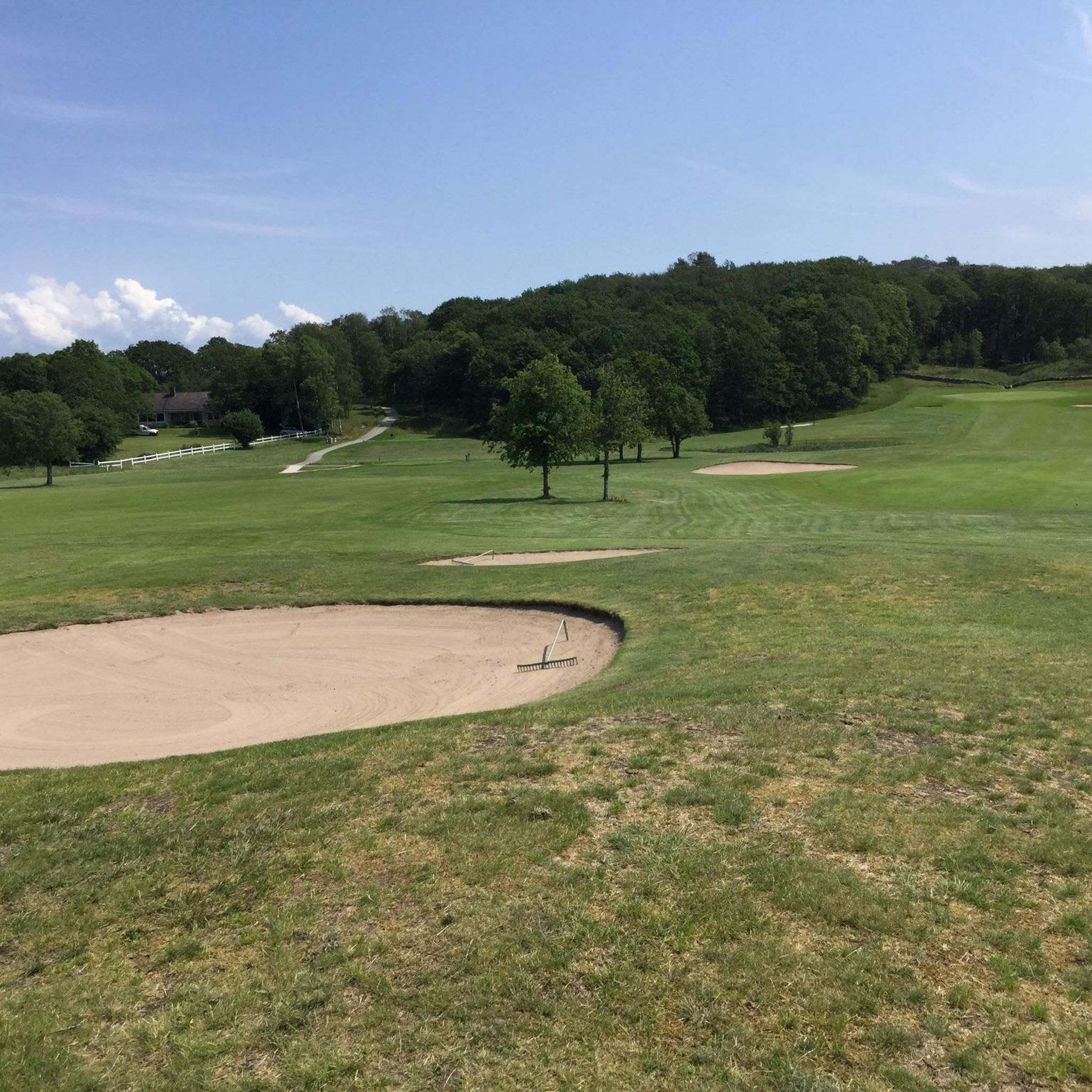

Tips from the Community


External, always accessible drinking water tap.
0
0

This section is closer to the Kattegat and even shorter than the cycle path along the road. It runs along small, quiet side streets.
1
0

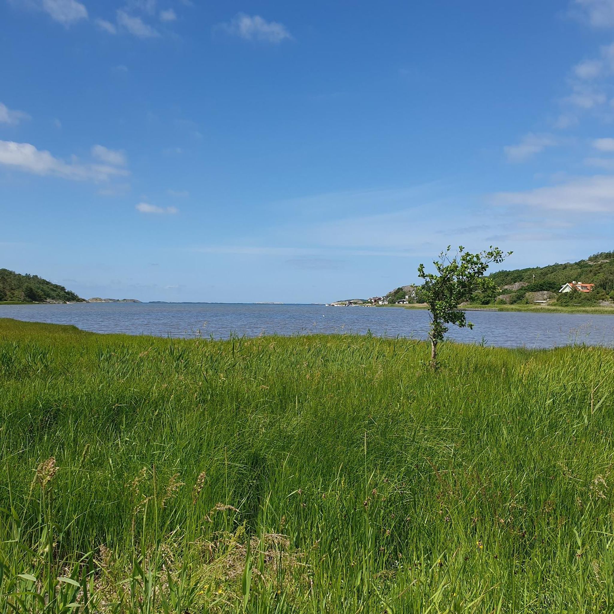
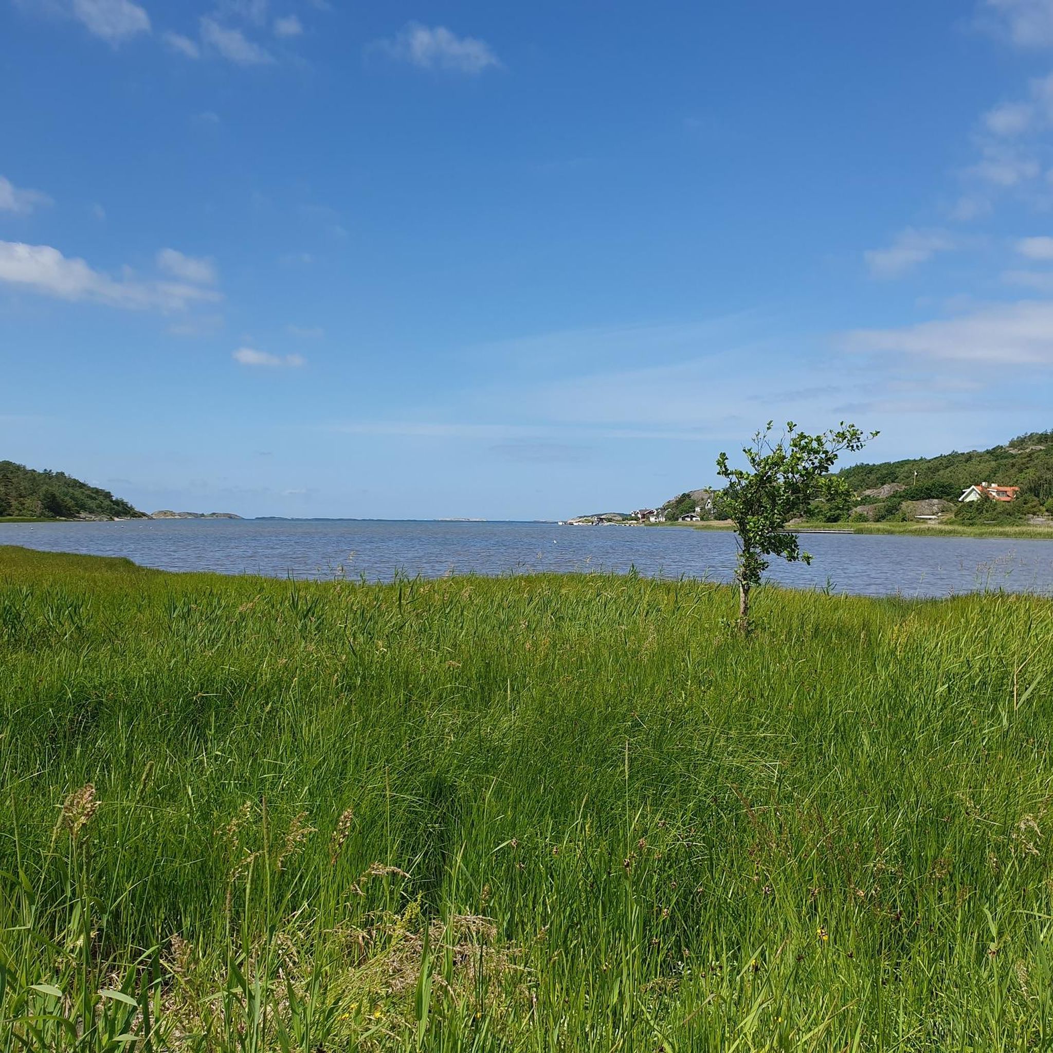
Here you are standing on the ice age terminal moraine that separates Lake Lygnern from the sea (Kattegat). Here you can see the lake in one direction and the Kattegat in the other. There are not many places where this is possible. Otherwise there are always trees, houses or hills in the line of sight.
1
0


The Götaplatsen is one of the most important squares in Gothenburg at the southern end of the Kungsportsavenyn (engl. King's Gate Avenue). It was inaugurated in 1923 on the occasion of the celebrations for the 300th anniversary of the city. The cultural center is located around the Götaplatsen: These include the concert hall (the venue of the Gothenburg Symphony Orchestra), the art museum, the art hall, the city theater and the library. In the center of the square is the eight meter high bronze figure and fountain of the sea god Poseidon,
3
0

There is also a statue of the camera developer Hasselblad and an associated museum. The Kunsthalle is unfortunately a pretty ugly building - in Germany such ostentatious buildings were built primarily in the darkest years.
2
0
Frequently Asked Questions
How many road cycling routes are available in Bröndomeskogen?
Bröndomeskogen offers a wide selection of road cycling routes, with over 60 tours available on komoot. These routes cater to various skill levels, including easy, moderate, and challenging options.
Are there easy road cycling routes suitable for beginners in Bröndomeskogen?
Yes, Bröndomeskogen has several easy road cycling routes perfect for beginners or those seeking a relaxed ride. One popular option is the Smooth Asphalt Pathway – Drinking Water Station loop from Halla Heberg, which is 21.9 miles (35.2 km) long and features well-maintained surfaces.
What kind of terrain can I expect on road cycling routes in Bröndomeskogen?
The road cycling routes in Bröndomeskogen are characterized by smooth asphalt pathways, often winding through forested sections and connecting local points of interest. While generally featuring gentle hills, some routes include moderate elevation gains, offering a diverse cycling experience.
Are there any challenging road cycling routes for experienced riders?
For experienced riders looking for a challenge, Bröndomeskogen offers routes with significant elevation gain. The Church with Graveyard – Col de Vallda Trekant loop from Vallda is a notable example, covering 61.6 miles (99.1 km) with substantial climbing.
What is the typical length and duration of road cycling routes in Bröndomeskogen?
Route lengths and durations vary significantly. You can find shorter rides like the Smooth Asphalt Pathway loop from Vallda at 9.2 miles (14.9 km), which takes about 38 minutes. Longer routes, such as the Church with Graveyard – Col de Vallda Trekant loop from Vallda, can be up to 61.6 miles (99.1 km) and take over 4 hours to complete.
Are there circular road cycling routes available in Bröndomeskogen?
Yes, many of the road cycling routes in Bröndomeskogen are designed as loops, allowing you to start and finish at the same point. Examples include the Good and Fast Road – Odd Island Brewery and Pub loop from Forsbäck and the Smooth Asphalt Pathway – Drinking Water Station loop from Halla Heberg.
What do other road cyclists enjoy most about cycling in Bröndomeskogen?
The road cycling experience in Bröndomeskogen is highly rated by the komoot community, with an average score of 4.7 stars from over 25 reviews. Cyclists often praise the smooth asphalt pathways, the blend of forested sections, and routes that connect interesting local points.
Are there any routes that pass by places to stop for refreshments or water?
Yes, some routes are known for passing convenient stops. For instance, the Smooth Asphalt Pathway – Drinking Water Station loop from Halla Heberg features a water station, and the Drinking Water Tap – Red Wooden Shed loop from Onsala also highlights a water source. The Good and Fast Road – Odd Island Brewery and Pub loop from Forsbäck suggests a route near a brewery and pub.
What is the best time of year for road cycling in Bröndomeskogen?
While specific data isn't provided, generally, the best time for road cycling in regions like Bröndomeskogen (Sweden) is from late spring through early autumn (May to September). During these months, you can expect milder temperatures, less precipitation, and longer daylight hours, making for more enjoyable rides.
Are there any routes with notable viewpoints or cultural landmarks?
Yes, several routes incorporate cultural landmarks and scenic points. The Church with Graveyard – Col de Vallda Trekant loop from Vallda leads through cultural sites, offering more than just a physical challenge. The region's mix of forests and rural settings also provides natural viewpoints.
Is Bröndomeskogen suitable for family-friendly road cycling?
Bröndomeskogen offers several easy routes with smooth asphalt pathways that can be suitable for families, especially those with older children comfortable on road bikes. Routes with lower elevation gain and shorter distances, such as the Smooth Asphalt Pathway loop from Vallda, are good starting points for family outings.
Can I find parking easily near the road cycling routes?
While specific parking information for each route is not detailed, many routes in Bröndomeskogen start from towns or villages like Forsbäck, Halla Heberg, Vallda, and Onsala. It is generally advisable to look for public parking facilities in these areas, often near community centers or trailheads, before starting your ride.
Most popular routes in Bröndomeskogen

Get inspired with the komoot mobile app


Explore more
Browse the best Road cycling routes in other regions.
