The best road cycling routes in Cleland National Park
4.7
(33)
6,610
riders
133
rides
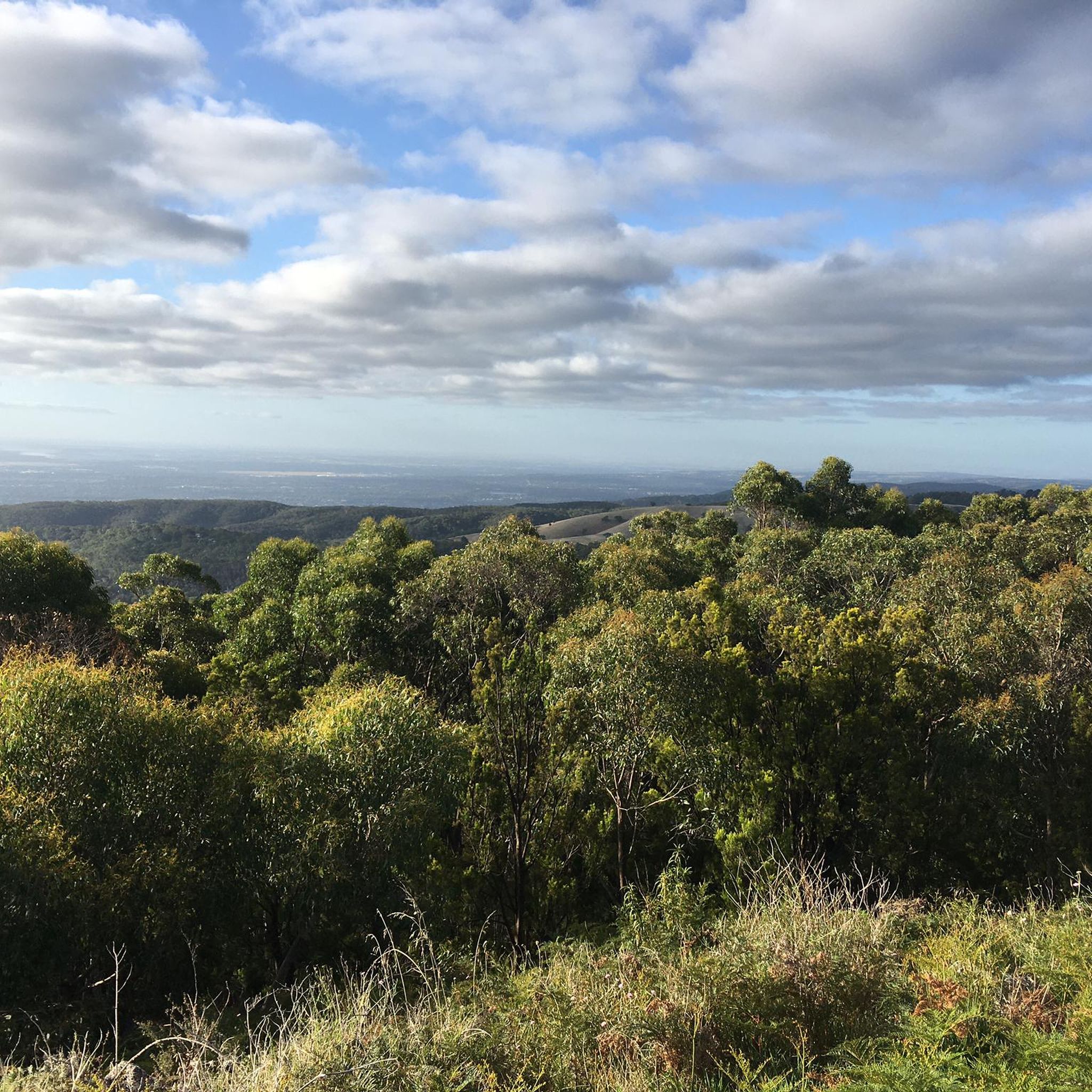
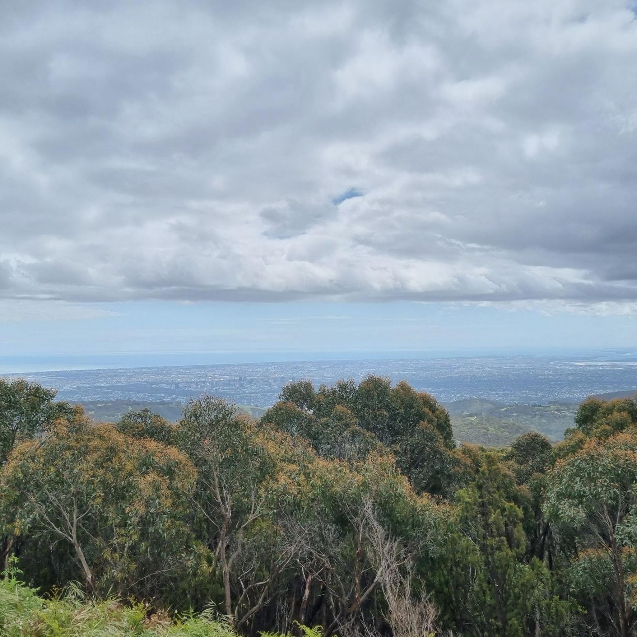
Road cycling in Cleland National Park offers routes through the undulating terrain of the Adelaide Hills. The park features stringybark forests, open grasslands, and eucalypt-filled gullies, with steep-sided gullies and meandering creeks. Cyclists can experience significant elevation changes, including climbs to elevated points like Mount Lofty Summit, providing views of the hills and the city of Adelaide. The area's diverse landscape provides varied conditions for road cyclists.
Best road cycling routes in Cleland National Park
- The most popular road cycling route is Stirling Town Centre – Locavore loop from Stirling, a 53.0 miles (85.3 km) trail that takes 4 hours 16 minutes to complete. This difficult route features significant elevation gain through varied landscapes.
- Another top favourite among local road cyclists is Eagle on the Hill – Old Freeway Bike Path loop from Stirling, a moderate 14.6 miles (23.5 km) path. This route incorporates sections of the Old Freeway Bike Path, offering a mix of paved surfaces and climbs.
- Local road cyclists also love the Old Freeway Bike Path – Mount Lofty Summit Viewpoint loop from Piccadilly, a 21.5 miles (34.6 km) trail leading through the Adelaide Hills to the Mount Lofty Summit Viewpoint, often completed in about 1 hour 57 minutes.
- Road cycling in Cleland National Park is defined by Adelaide Hills climbs, stringybark forests, and panoramic viewpoints. The network offers options for different ability levels, from moderate paths to more challenging routes with substantial elevation.
- The routes in Cleland National Park are highly rated by the komoot community with an average score of 4.7 stars from over 40 reviews. More than 6,000 road cyclists have used komoot to explore Cleland National Park's varied terrain.
Last updated: July 18, 2026
8
riders
85.2km
04:16
960m
960m
Hard road ride. Very good fitness required. Mostly well-paved surfaces and easy to ride.
4
riders
112km
05:31
1,530m
1,530m
Hard road ride. Very good fitness required. Mostly well-paved surfaces and easy to ride.

Sign up for free
57
riders
23.5km
01:24
520m
530m
Moderate road ride. Good fitness required. Mostly well-paved surfaces and easy to ride.
4.0
(1)
53
riders
34.6km
01:57
720m
720m
Moderate road ride. Good fitness required. Mostly well-paved surfaces and easy to ride.
36
riders
29.0km
01:35
460m
460m
Moderate road ride. Good fitness required. Mostly well-paved surfaces and easy to ride.
Get access to more routes and recommendations from other explorers.
Sign up for free
Already have an account?
Our route recommendations are based on thousands of hikes, rides, and runs completed by other people on komoot.
Start today with a free account
Your next adventure awaits.
Login or Signup

Tips from the Community

Very scenic and slightly ondulating road between Ashton and Greenhill Road with beautiful panoramic views across some vinyards.
1
0

Enhance Your Outdoor Experience with the Perfect Merlot For those planning to explore this breathtaking region—whether by bike, on foot, or through an invigorating hike—it is essential to come prepared. While the area is renowned for its scenic landscapes and diverse outdoor activities, finding an ideal location to unwind with a glass of wine can be challenging. Bringing your own premium Merlot allows you to elevate your adventure with a well-deserved moment of relaxation. Whether you choose to pause at a panoramic viewpoint or celebrate your journey after an active day, having your favorite wine on hand ensures a seamless blend of exploration and indulgence. Plan ahead, pack accordingly, and turn your outdoor excursion into an unforgettable experience.
0
0

Great road through beautiful fora with very little traffic via a steep drop and an equal ascent - better have some good gears up Rangeview.
1
0
Nice stretch of road with usually low traffic. Nicely ondulating from Somerton with a steeper ascent towards Crafers.
1
0
Stirling is a beautiful little town with historic buildings in the Adelaide Hills with some nice pubs and cafes. We also like to visit the Stirling markets.
1
0
Eagle on the Hill is near the top of the Old Freeway climb providing great views towards Mt. Lofty and down to Adelaide and the sea. Also start for great MTB trails.
1
0
Good Sport for having a coffee break after riding up Gorge scenic road from Adelaide. Also a pretty popular motor bike spot.
0
0
Frequently Asked Questions
What kind of terrain and elevation can I expect on road cycling routes in Cleland National Park?
Road cycling in Cleland National Park is characterized by the undulating terrain of the Adelaide Hills. You can expect significant elevation changes, including invigorating climbs to elevated points like Mount Lofty Summit. Routes often feature stringybark forests, open grasslands, and eucalypt-filled gullies, providing varied conditions and panoramic views.
Are there routes suitable for beginner road cyclists in Cleland National Park?
Yes, while many routes involve significant climbs, Cleland National Park offers options for various skill levels. There are 11 easy routes and 51 moderate routes available. For example, the Eagle on the Hill – Old Freeway Bike Path loop from Stirling is a moderate 23.5 km path that incorporates paved sections suitable for those looking for a less strenuous ride.
What are some notable landmarks or viewpoints I can see while cycling in Cleland National Park?
Cyclists can enjoy breathtaking panoramic views from elevated points such as Mount Lofty Summit, offering vistas of the hills, Adelaide city, and the distant Gulf St Vincent. Other notable features include the picturesque Waterfall Gully and Sugarloaf Hill, both offering scenic spots along your ride.
Are there any family-friendly road cycling options in Cleland National Park?
The park offers a network of shared-use trails, and while many routes include challenging climbs, some sections are more suitable for families. The Old Freeway Bike Path is highlighted as a key attraction for cycling and provides paved sections that can be more accessible for family rides, though some routes incorporating it may still have elevation.
What is the best time of year to go road cycling in Cleland National Park?
The park's natural charm, including meandering creeks and picturesque waterfalls, is particularly vibrant during the wetter months of winter and spring. However, for road cycling, the milder temperatures of autumn and spring generally offer the most comfortable conditions, avoiding the heat of summer and the potential for heavy rain in winter. Always check local weather forecasts before heading out.
Are dogs allowed on road cycling trails in Cleland National Park?
Cleland National Park has specific regulations regarding pets. Generally, dogs are not permitted on trails within the National Park itself to protect native wildlife. It's always best to check the official Parks SA website for the most current pet policies before planning your ride.
Where can I find parking for road cycling routes in Cleland National Park?
Parking is available at various access points around Cleland National Park. Popular starting points like Waterfall Gully and Mount Lofty Summit offer facilities, including parking. For routes starting from nearby towns like Stirling or Piccadilly, you can often find parking within the town centers, providing convenient access to the park's cycling network.
Are there cafes or refreshment stops along the road cycling routes?
Yes, convenient facilities like cafes are available at popular spots such as Waterfall Gully and Mount Lofty Summit. These provide ideal spots for refreshments and breaks during your rides, allowing you to refuel and enjoy the scenic surroundings.
What is the average rating for road cycling routes in Cleland National Park?
The road cycling routes in Cleland National Park are highly rated by the komoot community, with an average score of 4.7 stars from over 40 reviews. Cyclists often praise the challenging climbs, diverse scenery, and rewarding panoramic views of the Adelaide Hills and beyond.
How many road cycling routes are available in Cleland National Park?
There are over 130 road cycling routes available in and around Cleland National Park on komoot. These routes cater to various difficulty levels, from moderate paths to more challenging rides with substantial elevation gain.
Are there any permits required for cycling in Cleland National Park?
Generally, no specific permits are required for cycling on designated shared-use trails within Cleland National Park. However, it's always advisable to check the official Parks SA website for any updates on park regulations or specific trail conditions before your visit.
Can I access Cleland National Park by public transport for cycling?
While direct public transport into the heart of Cleland National Park for cyclists might be limited, you can often use public transport to reach nearby towns like Crafers, Stirling, or Piccadilly. From these points, you can then cycle into the park or connect to its extensive network of trails. Check local bus schedules for routes serving the Adelaide Hills region.
Are there any long-distance road cycling routes in the area?
Yes, for those seeking a longer challenge, routes like the Stirling Town Centre – Locavore loop from Stirling offer a substantial ride. This difficult route spans 85.3 km (53.0 miles) and features significant elevation gain through varied landscapes, typically taking over 4 hours to complete.
Most popular routes in Cleland National Park
Most popular attractions in Cleland National Park

Get inspired with the komoot mobile app


Explore more
Browse the best Road cycling routes in other regions.
