The best walks and hikes in Porepunkah Plantation
4.7
(36)
648
hikers
36
hikes
Hiking in Porepunkah Plantation offers a network of trails through a forested landscape in Victoria. The region is characterized by its woodlands and varied elevation changes, providing diverse hiking experiences. Many routes feature views of surrounding hills and valleys, with some trails following natural watercourses. The area provides opportunities for both easy hiking trails and more challenging ascents.
Best hiking trails in Porepunkah Plantation
- The most popular hiking route is View of Mystic Hill loop from Bright, a 3.1 miles (5.0 km) trail that takes 1 hour 40 minutes to complete. This route features significant elevation gain, offering panoramic views.
- Another top favourite among local hikers is Huggins Lookout loop from Bright, a moderate 4.4 miles (7.1 km) path. This trail leads to a lookout point, providing vistas over the surrounding landscape.
- Local hikers also love the Canyon Walk – Centenary Park loop from Bright, a 2.3 miles (3.6 km) trail leading through riverside areas and parkland, often completed in about 55 minutes.
- Hiking in Porepunkah Plantation is defined by forested paths, riverine sections, and hills, offering options for different ability levels.
- The routes in Porepunkah Plantation are highly rated by the komoot community with an average score of 4.6 stars from over 20 reviews. More than 500 hikers have used komoot to explore Porepunkah Plantation's varied terrain.
Last updated: November 8, 2026
6
hikers
10.9km
02:50
80m
80m
Moderate hike. Good fitness required. Easily walkable paths.
2
hikers
19.8km
05:05
90m
90m
Hard hike. Very good fitness required. Easily walkable paths.

9
hikers
13.2km
03:27
100m
100m
Moderate hike. Good fitness required. Easily walkable paths.
43
hikers
5.23km
01:21
30m
30m
Easy hike. Easily walkable paths.
4.5
(2)
31
hikers
7.39km
02:23
320m
320m
Moderate hike. Good fitness required. Easily walkable paths.
Get access to more routes and recommendations from other explorers.
Already have an account?
Our route recommendations are based on thousands of hikes, rides, and runs completed by other people on komoot.
Start today with a free account
Your next adventure awaits.
Tips from the Community

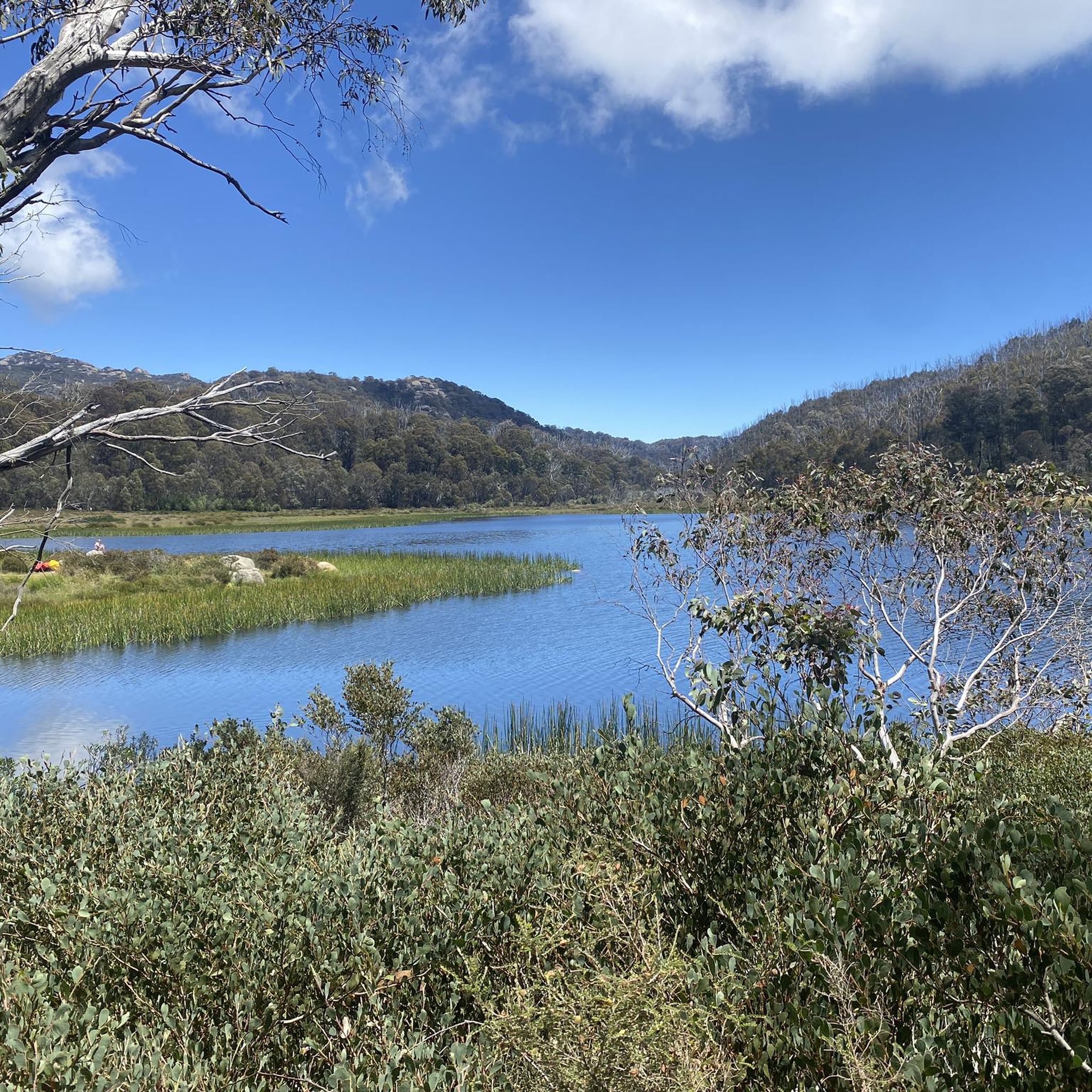
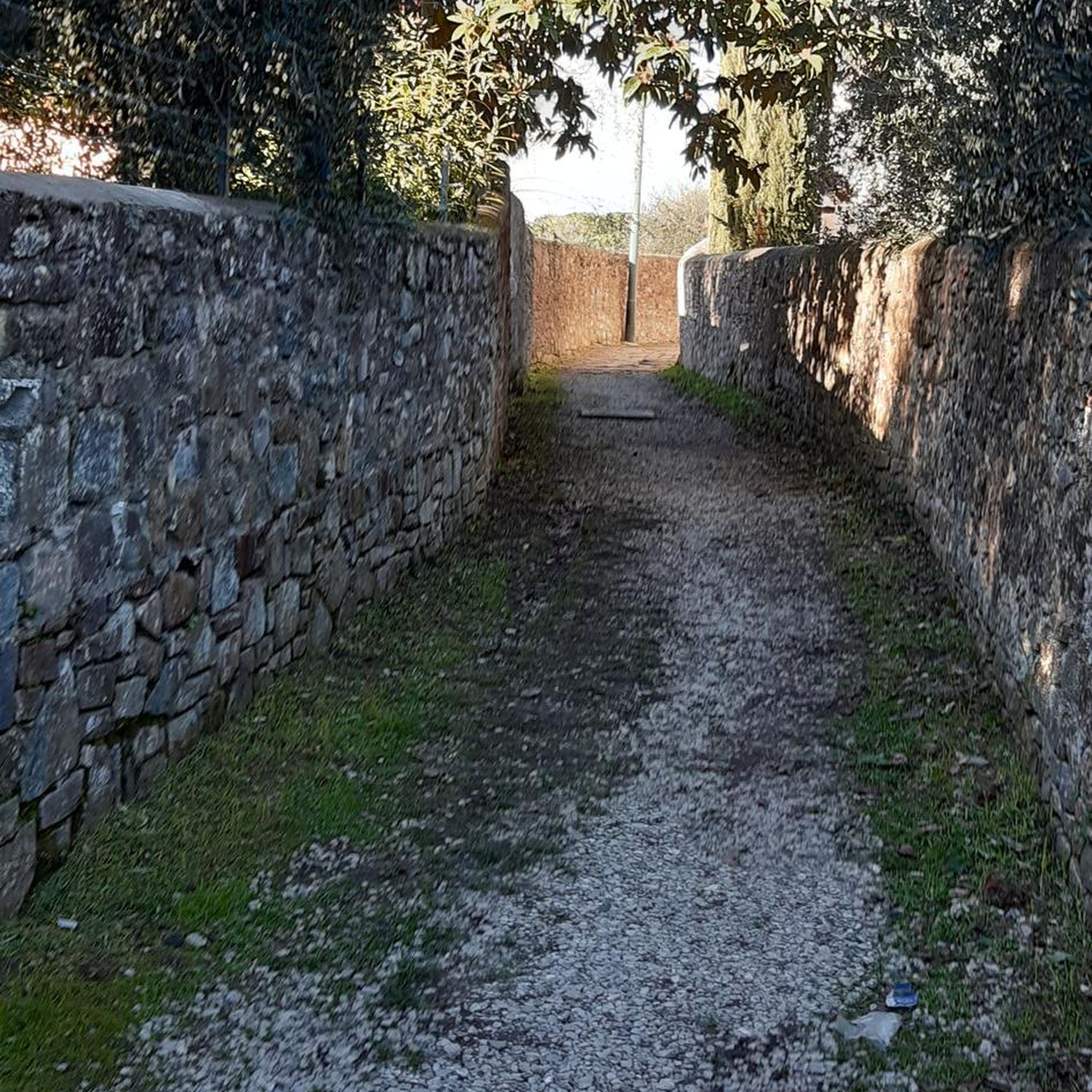
Morses Creek is rarely far from you here, with the track slipping between native bush, patches of pine and the water’s edge on the way towards Wandiligong. Little bridges and creek crossings break up the walk, while rocky gorges, rapids and quieter swimming holes appear along the way. It’s mostly easy underfoot, so you can spend more time looking along the creek than concentrating on every step.
0
0
Bennetts Trail is a smooth, sealed stretch linking Bright with Wandiligong, with small hills and no steps to worry about. You’ll pass the historic Bright Cemetery, Morses Creek and the Mystic Flight Park before reaching Alpine Park in Wandiligong. The route is shared with cyclists, so keep an ear out behind you, but otherwise it’s an easy, relaxed section where you can enjoy the valley scenery without watching every footstep.
0
0
Mystic Flight Park is Bright’s main paragliding and hang-gliding hub, and on a good flying day you’ll often see colourful wings circling above the valley before coming down into the landing paddock beside Morses Creek Road. The actual launch sits high on Mystic Mountain, around 500 metres above the landing zone. Even if you’re staying firmly on the ground, it’s a fun spot to pause and watch the pilots coming in.
0
0

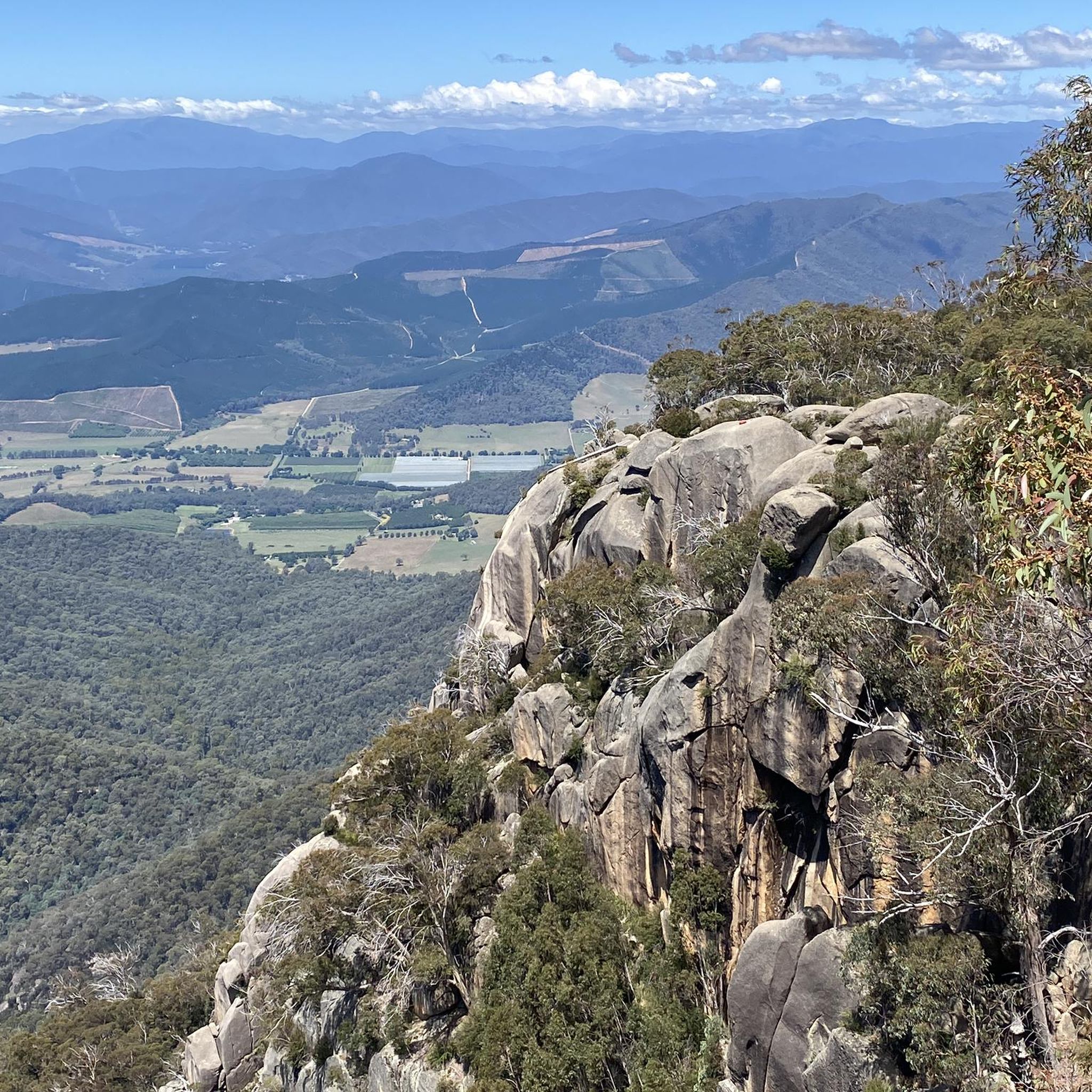
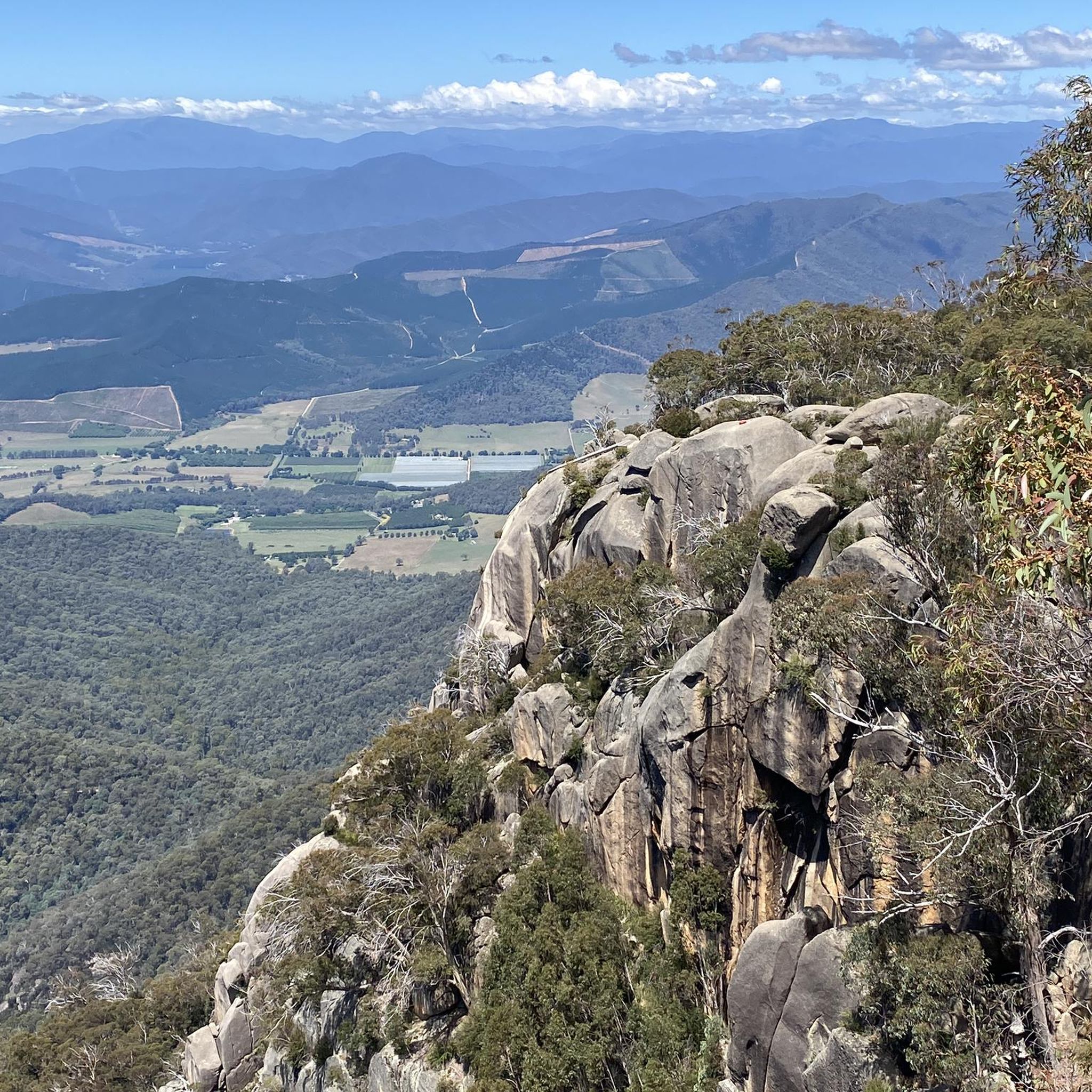
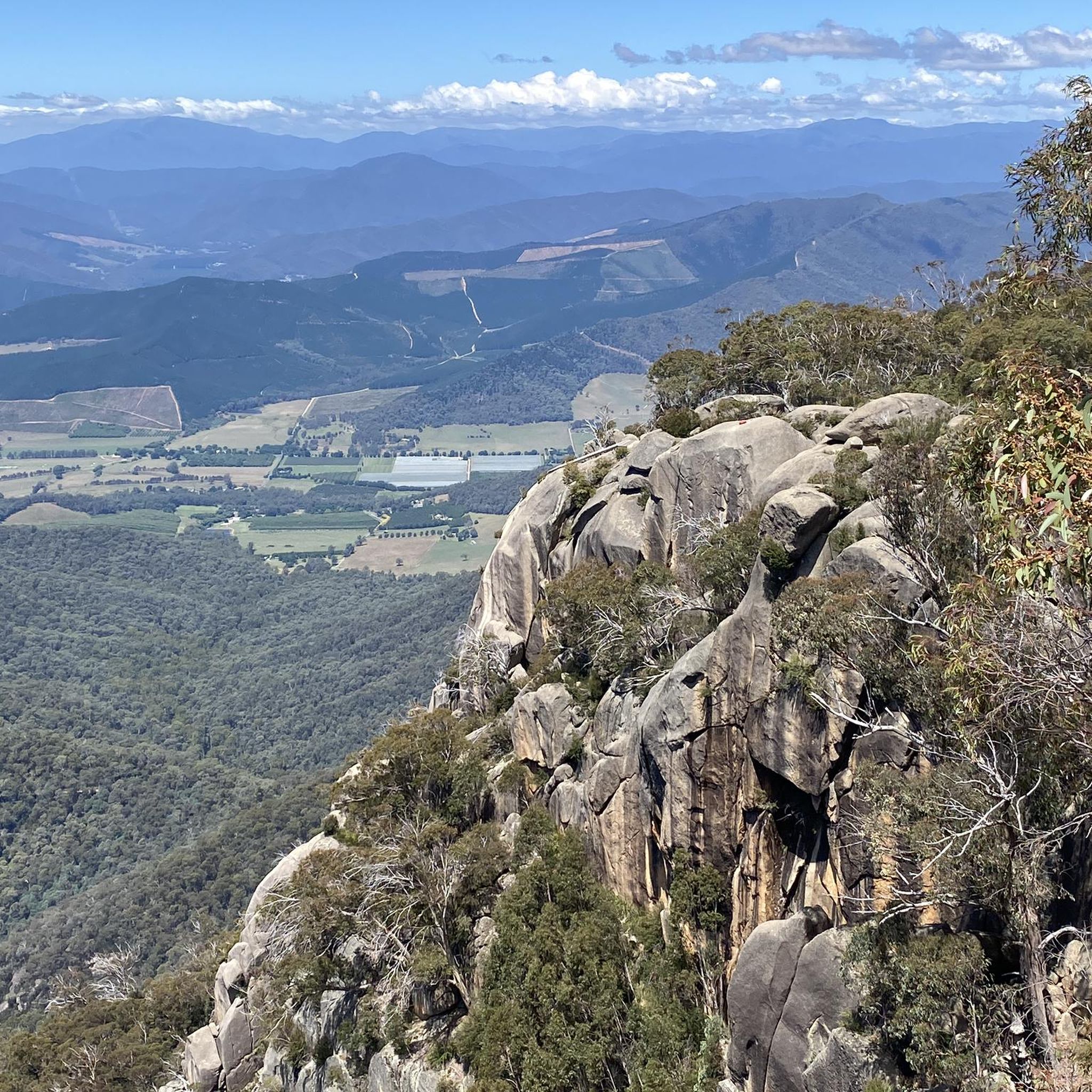
At the summit of the Apex Lookout Track sits Apex Lookout, where it's hard to miss the large clearing with huge communications towers and sweeping panoramic views. The view unveils the town of Bright and the Ovens Valley below. On clear days, the viewpoint offers distant view toward some of the region's highest alpine giants, including Mount Feathertop at 1922 metres, Mount Fainter at 1833 metres, and Mount Bogong at 1986 metres, which stands as the highest peak in Victoria.
0
0
The Apex Lookout Track is a dirt track that climbs into steeper, rockier sections before reaching the Apex Lookout Track. The track passes through shaded alpine vegetation, with birdwatching opportunities, and a rewarding lookout at the end.
0
0
Mount Porepunkah Road is a gateway for exploring the alpine landscape around the town of Bright. It rises from the heart of the Ovens Valley, with the Ovens River flowing at its southern side. Mount Porepunkah Road branches outward from near the river, transitioning from a paved town street into an incline that leads up toward forests and ridge lines. Have navigation ready to where there is a point at which 7 trails converge at one junction point.
0
0
A footbridge here passes over the Ovens River, with a scenic swimming hole sitting beneath the bridge. It's a popular recreation spot epically on hot summer days.
0
0
The Murray to Mountains Rail Trail is a network of more than 120 kilometres of sealed, off-road going through Victoria’s High Country, linking towns including Wangaratta, Beechworth, Myrtleford and Bright. This Bright to Porepunkah section is a much shorter 6.6-kilometre stretch, following the old railway corridor past trees, open countryside and Bright Golf Club, with Mount Buffalo becoming more prominent as you approach Porepunkah.
0
0
Frequently Asked Questions
How many hiking trails are available in Porepunkah Plantation?
Porepunkah Plantation offers a diverse network of over 35 hiking trails. These routes vary in length and difficulty, providing options for different experience levels.
Are there easy hiking trails suitable for beginners or families in Porepunkah Plantation?
Yes, Porepunkah Plantation features 18 easy trails perfect for beginners or families. A good option is the Canyon Walk – Centenary Park loop from Bright, a 2.3-mile (3.6 km) path that follows riverside areas and parkland.
What is the best time of year to hike in Porepunkah Plantation?
The best times to hike in Porepunkah Plantation are generally during spring (September to November) and autumn (March to May). These seasons offer pleasant temperatures and vibrant scenery. Summer can be warm, while winter brings cooler conditions, but hiking is possible year-round.
Are dogs allowed on the hiking trails in Porepunkah Plantation?
Regulations regarding dogs can vary. Generally, dogs are permitted on leash in state forests and plantations, but it's always best to check local signage or the specific land manager's website for the most current rules, especially near protected areas or private land.
Are there any circular hiking routes in Porepunkah Plantation?
Many of the trails in Porepunkah Plantation are designed as loops, offering varied scenery without retracing your steps. An example is the View of Mystic Hill loop from Bright, which provides panoramic views with significant elevation gain.
What kind of views can I expect on the trails in Porepunkah Plantation?
Hikers in Porepunkah Plantation can expect views of surrounding hills and valleys, often through forested landscapes. Trails like the Huggins Lookout loop from Bright lead to specific vantage points offering expansive vistas over the region.
What do other hikers enjoy most about Porepunkah Plantation?
The area is highly rated by the komoot community, with an average score of 4.6 stars. Reviewers often praise the diverse terrain, from forested paths to riverine sections, and the variety of options available for different ability levels.
Is public transport available to access hiking trails in Porepunkah Plantation?
Public transport options directly to trailheads within Porepunkah Plantation are limited. Most hikers access the area by car, often parking in nearby towns like Bright, which serves as a common starting point for many routes.
Are there any challenging hikes for experienced hikers in Porepunkah Plantation?
While many trails are moderate, Porepunkah Plantation does offer some more challenging options, including 1 difficult route. These typically involve greater distances and significant elevation changes, providing a good workout for experienced hikers.
What should I wear for hiking in Porepunkah Plantation?
Layered clothing is recommended for hiking in Porepunkah Plantation, as weather conditions can change. Sturdy hiking shoes are essential due to varied terrain, and sun protection (hat, sunscreen) is advisable year-round. Carry enough water, especially on longer routes.
Are there any cafes or facilities near the hiking tracks?
While Porepunkah Plantation itself is a natural area, the nearby town of Bright offers a range of cafes, restaurants, and other facilities where you can refuel before or after your hike. Many trails start from or are easily accessible from Bright.
Can I find trails with significant elevation gain in Porepunkah Plantation?
Yes, the region is characterized by varied elevation changes. Routes such as the Apex Lookout loop from Bright feature notable ascents, offering both a physical challenge and rewarding views from higher points.
Most popular routes in Porepunkah Plantation

Get inspired with the komoot mobile app


Explore more
Browse the best Hikes in other regions.
