The 14 Most Amazing Peaks around Crinitzberg
Best mountain peaks around Crinitzberg are situated in a region defined by the Kirchberger Granitgebiet, with elevations typically ranging from 400 to 610 meters. This area offers various elevated points and natural features that contribute to its scenic landscape. Visitors can explore a mix of natural summits and man-made structures providing viewpoints across the Zwickau district. The Crinitzberg location mountain peaks provide opportunities for hiking and experiencing the local terrain.
Best mountain peaks around Crinitzberg
- The most popular mountain peaks…
Last updated: October 2, 2026
Prinz-Georg Tower
Highlight • Monument
Translated by Google •
Tip by

Hirschenstein Summit and Triangulation Station
Highlight • Summit
Translated by Google •
Tip by

Sign up now to discover places like this
Get recommendations on the best single tracks, peaks, & plenty of other exciting outdoor places.
Auersbergkönig – mountain time trial route
Highlight • Trail
A project of: "Association for promoting the joy of cycling in the Erzgebirge and Vogtland e.V."
auersbergkoenig.de
Translated by Google •
Tip by

Bismarck Tower Keilberg
Highlight • Monument
Translated by Google •
Tip by

Steinberg Summit and Observation Tower
Highlight • Summit
Translated by Google •
Tip by

Sign up for free to discover even more peaks around Crinitzberg.
Already have an account?
Start today with a free account
Your next adventure awaits.
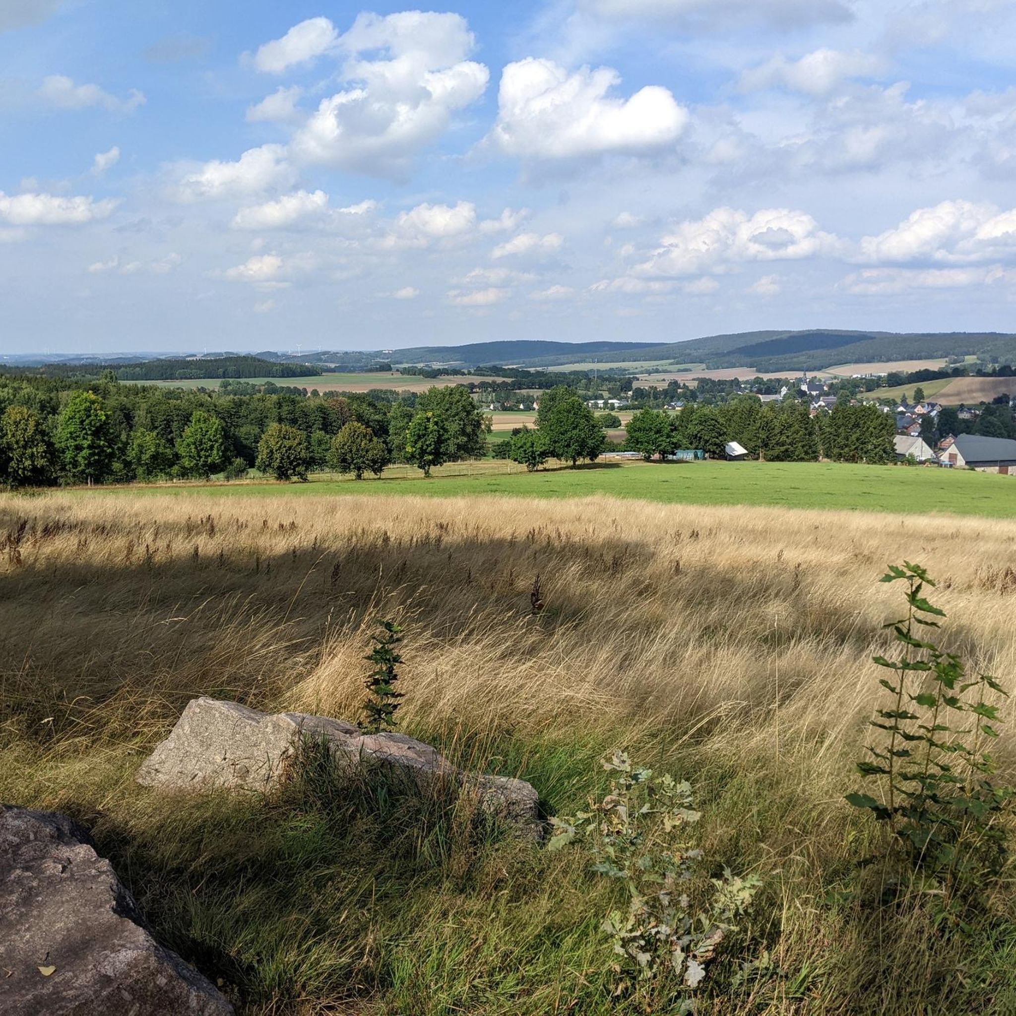
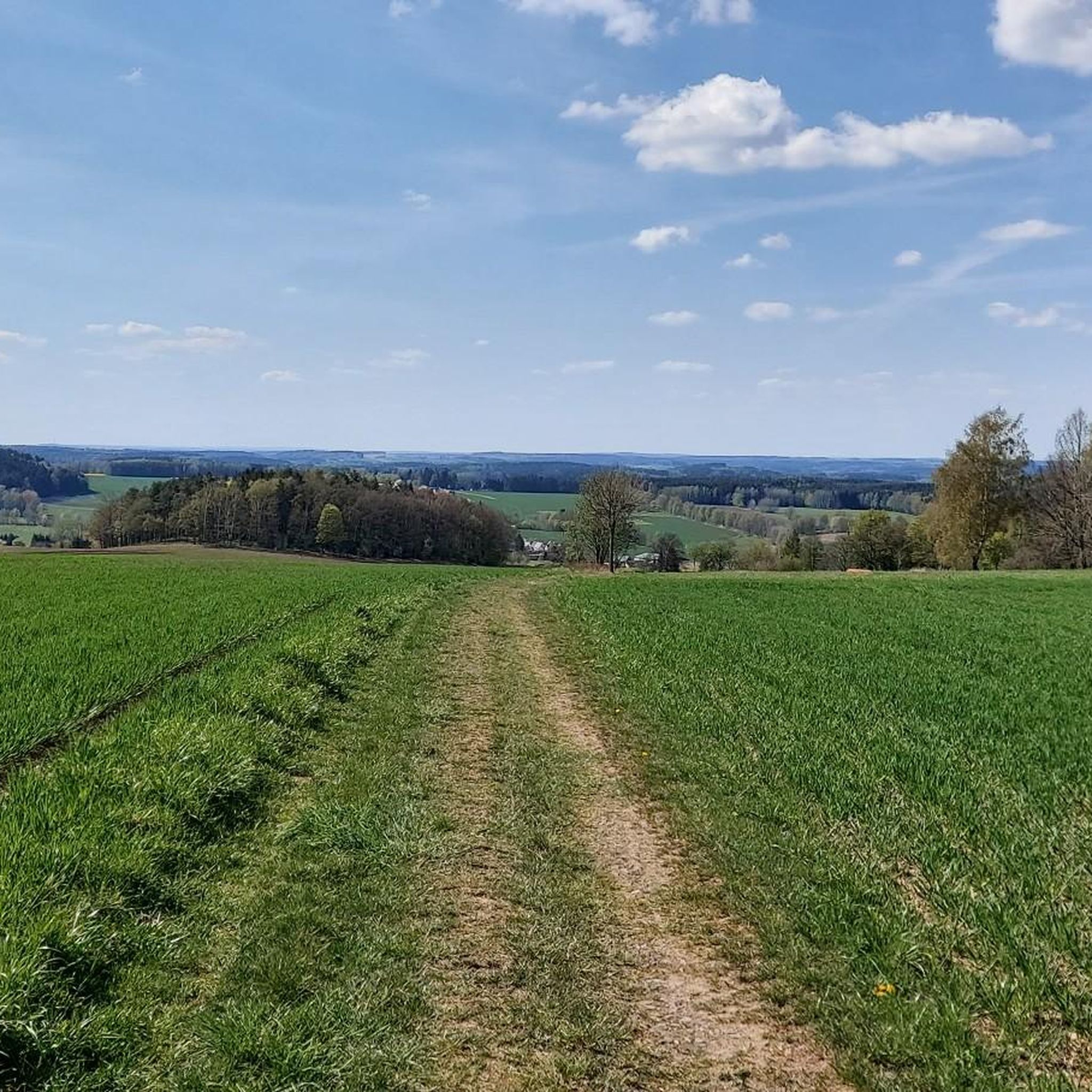
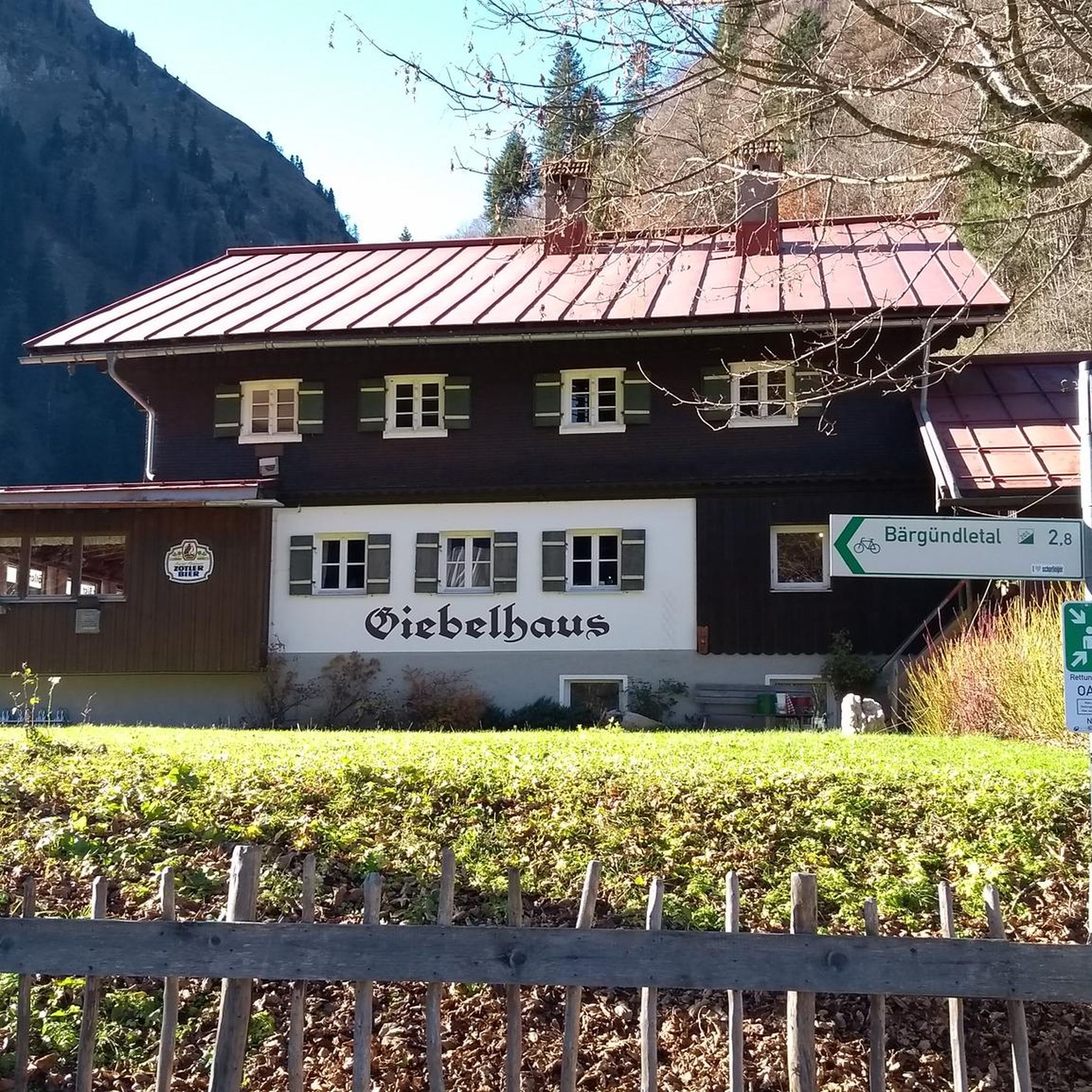
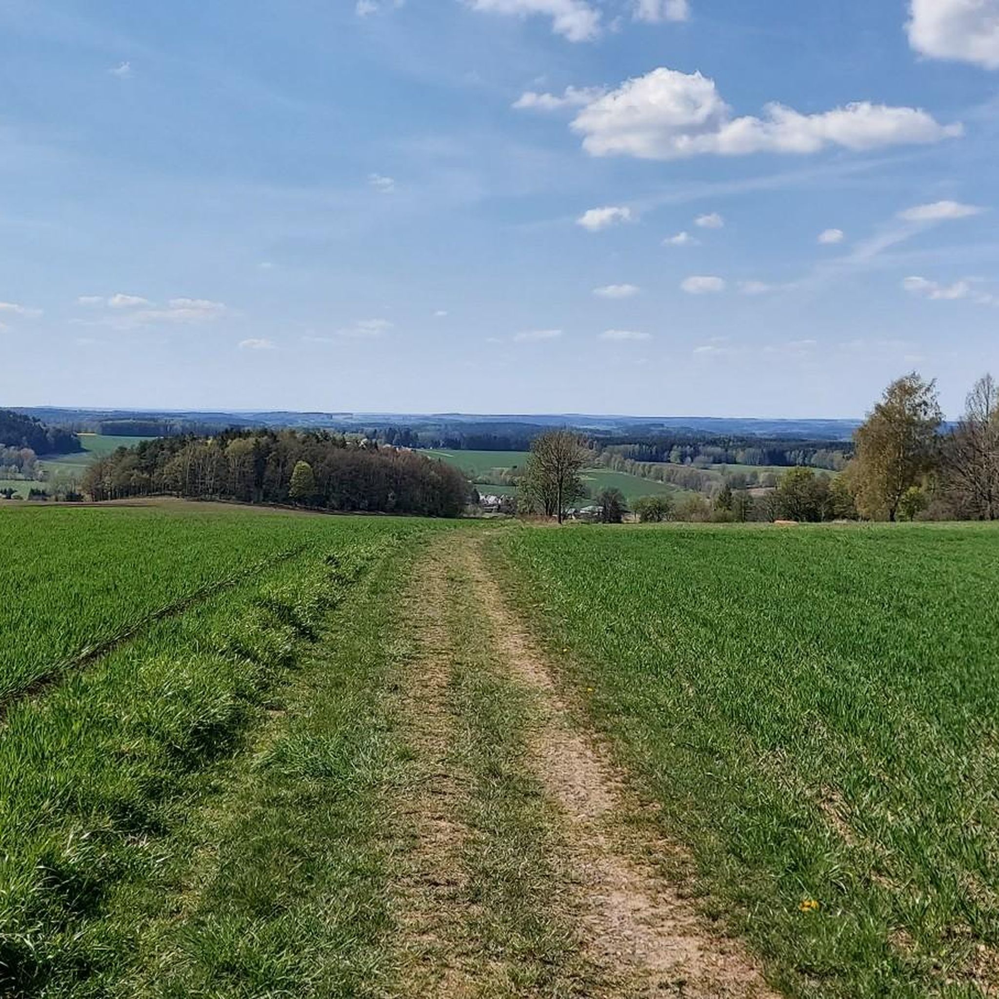
Tips from the Community

a must, puts you in a good mood and burns a lot of energy.
0
1


The last third of the route is very bad and in places very rough.
0
0

The first 2 km are totally relaxed, then the fun begins. At least 3 times you can enjoy it at certain points... :)
4
0

Here you receive a point for the digital hiking pin at SummitLynx. The Bismarck Tower in Schneeberg is an impressive structure that was built by the Schneeberg Erzgebirge branch association with the support of the city. The inauguration of the tower took place on August 31, 1893 under the name Keilbergturm. The stones for the tower came from a nearby quarry on the Keilberg. In honor of Otto von Bismarck, the tower was renamed the Bismarck Tower on April 1, 1899. The tower is an impressive 21 meters high and offers breathtaking views of the surrounding landscape. On April 16, 1899, a relief image of Bismarck was attached to the outer wall of the tower. The picture was made by the renowned C. Albert Bierling iron foundry in Dresden. Unfortunately, the relief image no longer exists today.
2
0

For 0.50 euros entrance at the turnstile and after a few steps you get a wonderful view of the surrounding area from the Prince George Tower.
1
0

Nice route to get from the Blauenthal waterfall to the Auersberg by bike!
3
1

From 1964, large parts of the Hartmannsdorf forest were declared a military restricted area and hikes to the mountain summit were impossible. Since 2008, the Hartmannsdorfer Forst has been freely accessible again and a hike to the Hirschenstein is easily feasible ... https://www.dein-erzgebirge.de/aussichtspunkte-berge/hirschenstein.html
3
0
Frequently Asked Questions
What are some popular mountain peaks and viewpoints around Crinitzberg?
The region offers several notable elevated points. The Steinberg Summit and Observation Tower near Stützengrün is highly recommended, featuring a 17.5-meter-high tower with panoramic views of the Vogtland and Erzgebirge mountains, plus a mountain restaurant. Another popular spot is the Dr. Köhler Tower and Glöckner Inn on the Gleesberg, which includes a tower museum and an excursion restaurant.
Are there any historical or cultural sites among the peaks near Crinitzberg?
Yes, several peaks feature historical elements. The Bismarck Tower Keilberg is a significant historical observation tower offering panoramic views. Additionally, the Steinberg Summit and Observation Tower, built in 1903, is a historical structure that provides insight into the region's past.
What kind of natural features can I expect to see on the mountain peaks around Crinitzberg?
The peaks around Crinitzberg are characterized by the Kirchberger Granitgebiet, with elevations generally ranging from 400 to 610 meters. You'll find scenic landscapes with forests, valleys like the Rödelbachtal and Crinitztal, and expansive views of the surrounding Erzgebirge. The Hirschenstein Summit and Triangulation Station, for example, is nestled within a forest and offers a natural resting area with views.
Are there family-friendly options for visiting the mountain peaks?
Yes, some locations are particularly suitable for families. The Steinberg Summit and Observation Tower is considered family-friendly, offering an observation tower and a mountain restaurant. The Dr. Köhler Tower and Glöckner Inn on the Gleesberg also welcomes families, providing a worthwhile destination with a tower museum and an excursion restaurant.
What outdoor activities can I do near these mountain peaks?
The area around Crinitzberg is excellent for various outdoor activities. You can explore numerous running trails, such as the 'Großer Teich loop' or the 'Crinitzberg loop'. For cyclists, there are many cycling routes, including challenging options like the 'View of the Göltzsch River – Käppel's Pond loop'. Road cyclists can also find suitable routes, like the 'Wi-Ha-Dukt Pedestrian Bridge – Bockwa Church loop'.
What is the highest point in the Zwickauer Land region?
The highest point in Zwickauer Land is the Hirschenstein Summit and Triangulation Station, reaching an elevation of 610.4 meters. It offers a pleasant resting area with views and well-maintained paths for hikers.
Are there any challenging routes for experienced hikers or cyclists?
Yes, for those seeking a challenge, the Auersbergkönig – mountain time trial route is a notable highlight. It's a demanding climb that rewards with magnificent views and downhill sections. Cyclists can also find difficult routes like the 'View of the Göltzsch River – Käppel's Pond loop' among the cycling routes around Crinitzberg.
What amenities are available at the mountain peaks?
Some peaks offer amenities to enhance your visit. The Steinberg Summit and Observation Tower features a mountain restaurant. Similarly, the Dr. Köhler Tower and Glöckner Inn on the Gleesberg includes an excursion restaurant. These spots provide opportunities for a meal or refreshment after exploring.
What do visitors particularly enjoy about the mountain peaks around Crinitzberg?
Visitors appreciate the panoramic views, especially from observation towers like the one on the Steinberg. The well-developed paths and peaceful resting areas, such as those found at the Hirschenstein Summit, are also highly valued. The combination of natural beauty and accessible trails makes for a rewarding outdoor experience.
Is there a specific peak that offers a good resting spot with views?
The Hirschenstein Summit and Triangulation Station is known as a nice, quiet resting area with views. It's the highest point in Zwickauer Land and features well-developed paths, making it an ideal spot to pause and enjoy the scenery.
Are there any circular hiking trails that include notable elevations?
Yes, the Bärenwalder Rundwanderweg (Bärenwalde Circular Hiking Trail) is a local option that includes points like The Knock, which offers scenic resting places with expansive views. While not a highlight in the guide data, this regional trail provides a good example of circular routes incorporating elevated points.
What is the general elevation range of the peaks in the Crinitzberg area?
The elevations in the Crinitzberg region, part of the Kirchberger Granitgebiet, generally range from 400 to 610 meters above sea level. This creates a landscape of rolling hills and elevated points rather than towering mountains.
Most popular routes around Crinitzberg
Most popular attractions around Crinitzberg

Get inspired with the komoot mobile app


Explore more
See even more amazing summits around Crinitzberg with these guides:
