The 15 Most Amazing Peaks around Langenweißbach
Best mountain peaks around Langenweißbach are primarily found within the Hoher Forst (Hartmannsdorfer Forst), the highest elevated area in the municipality, reaching up to 580 meters. This region, part of the UNESCO World Heritage "Montanregion Erzgebirge/Krušnohoří," is recognized for its well-preserved medieval mining landscapes. Visitors can explore historical mining relics such as heaps and sinkholes, offering insights into centuries of ore extraction. The area provides a rich experience for those interested in hiking, history, and the unique cultural heritage of…
Last updated: August 11, 2026
Hirschenstein Summit and Triangulation Station
Highlight • Summit
Translated by Google •
Tip by

Bismarck Tower Keilberg
Highlight • Monument
Translated by Google •
Tip by

Sign up now to discover places like this
Get recommendations on the best single tracks, peaks, & plenty of other exciting outdoor places.
Sign up for free
Gleesberg with observation tower
Highlight • Viewpoint
Translated by Google •
Tip by

Katzenstein Triangulation Point
Highlight • Monument
Translated by Google •
Tip by

Summit Cross Reinsdorf
Highlight • Summit
Translated by Google •
Tip by

Sign up for free to discover even more peaks around Langenweißbach.
Sign up for free
Already have an account?
Start today with a free account
Your next adventure awaits.
Login or Signup
Tips from the Community

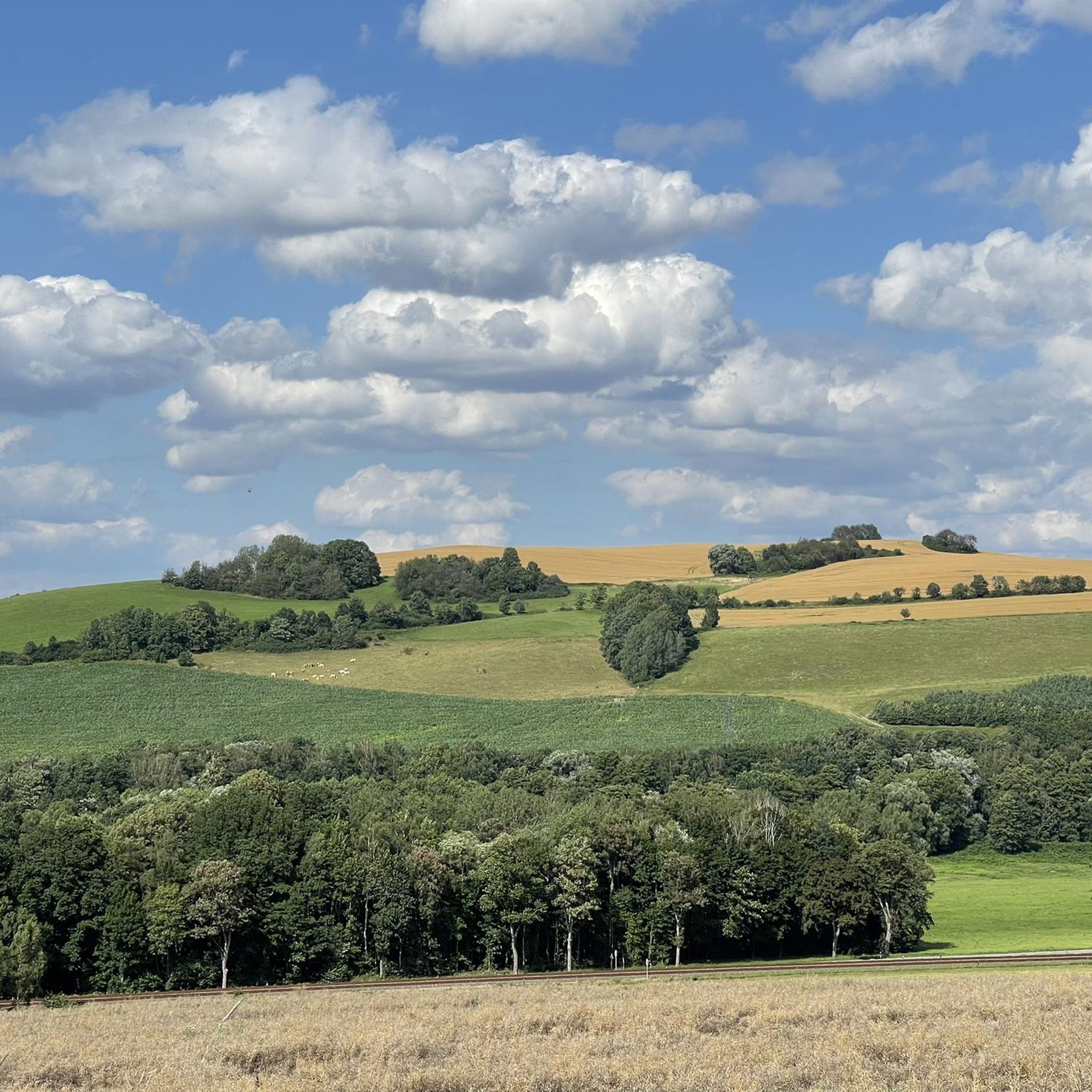
"The Royal Saxon Triangulation (here with its historical proper name) is a national survey carried out between 1862 and 1890 on the territory of the Kingdom of Saxony, with the simultaneous creation of a trigonometric network. The goal was to record the national territory with scientific and geodetic precision and, by establishing permanently marked reference points, to create the basis for the production of accurate maps." - https://de.wikipedia.org/wiki/K%C3%B6niglich-S%C3%A4chsische_Triangulirung The triangulation network created by August Nagel was considered one of the most accurate surveying networks in the world at the time. The Nagel columns are preserved today as technical monuments. From the Katzenstein station, the stations of Pfaffenberg (near Hohenstein-Ernstthal), Steinkamm, Schatzenstein, Hirschenstein, and Reinsdorf were surveyed. All of these mountains can still be seen today, along with many more. On a clear day, you can enjoy a fabulous panoramic view of the Ore Mountains, Vogtland, Fichtel Mountains, and the Ore Mountains foothills around Zwickau and Chemnitz.
2
0

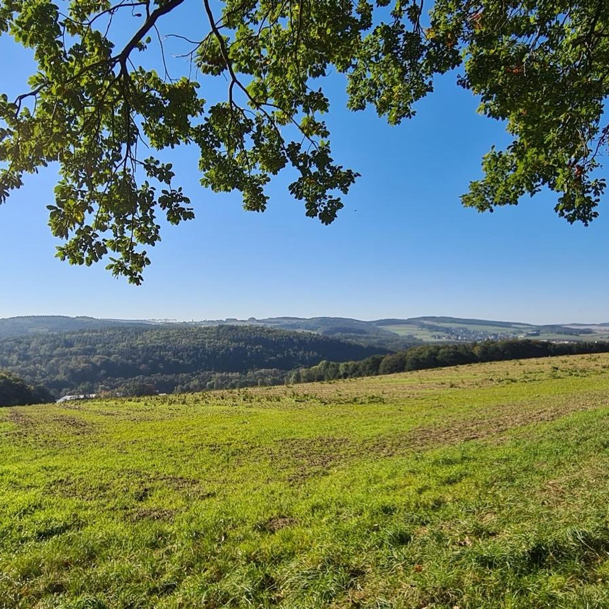
from here you have a really nice view
0
2


Nice little garden for a rest with coffee and cake, followed by a climb up the tower 🙂
1
1

...Dr. Köhler, Schneeberg, named "Köhlerturm" in honor of "the most loyal friend of our mountains". A mountain inn with an observation tower over 100 years old awaits the hiker. (https://www.kurort-schlema.de/natur-aktiv/ausflugsziele/gleesberg)
3
0
With its 593 m, the Gleesberg is the highest mountain in the vicinity of Bad Schlema. On the summit of the mountain, the Erzgebirgszweigverein Neustädtel built a viewing tower and a mountain inn in the last century. The Gleesberg is considered the best-known mountain in the western Ore Mountains mining area. The name of the mountain is interpreted in various ways. The most likely derivation is from Middle High German "glosen, glösen", which means to shimmer, to gleam, to sparkle. On August 3, 1898, the Erzgebirgszweigverein Neustädtel inaugurated a shelter on the 593 m high, wooded Gleesberg, which had been built under master builder R. Unger. At the same time, the foundation stone for a new viewing tower was laid. On October 2, 1898, the tower construction was completed. The handover of the keys took place before a festive assembly. The 18m high viewing tower, built in a square shape, was erected in honor of the "highly deserving of the Erzgebirgsverein...
3
0

Here you get a point for the digital hiking needle at SummitLynx. The Gleesberg (Glösberg), enclosed by the towns of Aue-Bad Schlema and Schneeberg, is 593.1 m high. The tower was built by the Erzgebirgszweig-Verein Schneeberg-Neustädtel in 1898. The tower was named after the founder of the Erzgebirgsverein, Dr. Ernst Köhler. The 18 m high tower has a glazed viewing platform. There is also a restaurant and a small exhibition on its history. Tel. 03772 22453 Open Wednesday - Friday from 12-9 PM and weekends and public holidays from 11 AM.
3
0
Frequently Asked Questions
What are the most notable elevated areas and viewpoints around Langenweißbach?
While Langenweißbach doesn't feature traditional individual mountain peaks, its primary elevated area is the Hoher Forst (Hartmannsdorfer Forst), reaching up to 580 meters. For specific viewpoints, consider visiting the Katzenstein Triangulation Point for its wonderful vantage point, or the Dr. Köhler Tower and Glöckner Inn on the Gleesberg, which offers a tower museum and an excursion restaurant.
Are there any historical sites or cultural landmarks to explore in the elevated areas?
Yes, the Hoher Forst is part of the UNESCO World Heritage "Montanregion Erzgebirge/Krušnohoří" and is rich in mining history. You can explore medieval mining landscapes with relics like heaps and sinkholes. A key attraction is the "Engländerstolln" and older "Martin-Römer-Stolln," which offer a glimpse into underground mining. Additionally, the Hirschenstein Summit and Triangulation Station and Bismarck Tower Keilberg are also significant historical sites.
What kind of hiking trails can I find in the Hoher Forst?
The Hoher Forst features a well-established circular hiking trail called the Natur- und Bergbaulehrpfad (Nature and Mining Trail), approximately 6 kilometers long. This trail is equipped with signposts and information boards, guiding visitors through the region's mining history, local nature, and geology. The paths are generally well-developed, offering a serene environment for both leisurely walks and more extensive explorations.
Are there family-friendly options for exploring the elevated areas around Langenweißbach?
Yes, the Dr. Köhler Tower and Glöckner Inn on the Gleesberg is noted as family-friendly, offering a nice hike and a small excursion restaurant. The Natur- und Bergbaulehrpfad in the Hoher Forst is also suitable for families, providing an educational and engaging experience with its historical mining sites and natural beauty.
What is the highest point in the Zwickauer Land region near Langenweißbach?
The highest point in Zwickauer Land is the Hirschenstein Summit and Triangulation Station, situated at 610.4 meters. It features well-developed paths and a cozy, quiet rest area with a view, making it a popular destination for hikers.
Where can I find panoramic views of the surrounding area?
For panoramic views, the Bismarck Tower Keilberg offers top panoramic views of Schneeberg and the surrounding area, with visibility extending as far as Keilberg CZ and Fichtelberg on clear days. The Summit Cross Reinsdorf also provides a beautiful view over Reinsdorf.
What outdoor activities, besides hiking, can I do near Langenweißbach's elevated areas?
Beyond hiking, the region around Langenweißbach offers various cycling opportunities. You can explore MTB Trails around Langenweißbach, enjoy Cycling around Langenweißbach, or try Gravel biking around Langenweißbach. These guides feature numerous routes for different skill levels.
Are there places to eat or rest near the viewpoints and trails?
Yes, the Dr. Köhler Tower and Glöckner Inn on the Gleesberg includes a small excursion restaurant. In the Hoher Forst, you'll find rest stops and shelters, such as the "Huthaus Engländerstolln," for hikers. While the Keilberg excursion restaurant near the Bismarck Tower is currently closed, the restaurant "Zum Starken August" is a nearby alternative.
What makes the Hoher Forst historically significant?
The Hoher Forst is historically significant due to its exceptional preservation of medieval mining landscapes. Silver and copper ore extraction began here as early as the 13th century, continuing into the 20th century. Visitors can see tangible reminders of this long mining past, including heaps and sinkholes, which are part of the UNESCO World Heritage "Montanregion Erzgebirge/Krušnohoří."
Is it possible to visit the historical mine shafts?
Yes, the "Engländerstolln" is a key attraction on the mining trail, with its entrance reopened in 2003. It leads into the older "Martin-Römer-Stolln," offering a glimpse into the underground mining world. Guided tours are often available to explore these historical mine shafts, providing a unique historical experience.
What do visitors particularly enjoy about the elevated areas around Langenweißbach?
Visitors appreciate the combination of natural beauty and historical significance. The well-developed paths, quiet rest areas with views, and the opportunity to explore ancient mining landscapes are frequently highlighted. The idyllic views from spots like the Katzenstein Triangulation Point and the educational aspects of the Nature and Mining Trail are also highly valued.
What is the best time to visit the Hoher Forst for hiking?
The Hoher Forst offers a serene environment for hiking throughout much of the year. While specific seasonal recommendations aren't provided, the varied terrain and forested paths are enjoyable in spring, summer, and autumn. For winter hiking, conditions may vary, so it's advisable to check local weather and trail conditions beforehand.
Most popular routes around Langenweißbach
Most popular attractions around Langenweißbach

Get inspired with the komoot mobile app


Explore more
See even more amazing summits around Langenweißbach with these guides:
