The best walks and hikes around Gleiritsch
4.6
(1906)
6,939
hikers
539
hikes
Hiking around Gleiritsch, located in the Upper Palatinate region, offers diverse landscapes characterized by river valleys such as the Pfreimdtal and Kainzbachtal. These areas feature meandering rivers and dense woodlands, providing habitats for various species. The region also includes historical landmarks like the Leuchtenberg Castle Ruins, which can be incorporated into hiking routes. Many trails follow former railway lines, offering paths with gentle gradients.
Best hiking trails around Gleiritsch
- The most popular hiking route is View from Schlossberg – Schlossberg…
Last updated: July 31, 2026
4.8
(5)
14
hikers
6.58km
01:50
110m
110m
Easy hike. Great for any fitness level. Easily-accessible paths. Suitable for all skill levels.
5.0
(3)
11
hikers
7.16km
01:59
130m
130m
Easy hike. Great for any fitness level. Easily-accessible paths. Suitable for all skill levels.

Sign up for free
4.4
(5)
12
hikers
7.22km
01:59
120m
120m
Easy hike. Great for any fitness level. Easily-accessible paths. Suitable for all skill levels.
4.0
(1)
6
hikers
12.6km
03:27
200m
200m
Moderate hike. Good fitness required. Easily-accessible paths. Suitable for all skill levels.
5.0
(3)
17
hikers
8.54km
02:28
210m
210m
Moderate hike. Good fitness required. Easily-accessible paths. Suitable for all skill levels.
Get access to more routes and recommendations from other explorers.
Sign up for free
Already have an account?
Our route recommendations are based on thousands of hikes, rides, and runs completed by other people on komoot.
Start today with a free account
Your next adventure awaits.
Login or Signup

Tips from the Community

A wonderful area with many sights
1
0

Tännesberg castle ruins The Tännesberg family appears in the 12th century and is genealogically linked to the Paulsdorf family. The latter held Tännesberg in the 13th century and split into two lines, which sat on an upper and a lower castle. Between 1394 and 1397, the Paulsdorf family sold Tännesberg to the Counts Palatine Ruprecht I and Ruprecht II, who granted the town market rights in 1412. From 1444 to 1466, Tännesberg was owned by the Murach family. The castle, which was destroyed in the Thirty Years' War, was used as a quarry in 1817 and completely demolished. The castle complex, which has largely only been preserved as an archaeological monument, does not allow any concrete statements to be made about its construction history. Historical images show two towers, including a towering keep. This could well date from the late 12th century. A moat protecting the east side appears to have had three semicircular shell towers - which would date it to the 15th/16th century. The sparse but nevertheless impressive traces of the once imposing castle complex lie on a long, sparsely wooded ridge (692 m above sea level) that runs north-south. Three areas separated from each other by ditches can be distinguished: a rough rocky area in the north, a longitudinally rectangular, raised core area of 60 x 40 m and a circular elevation with a summit diameter of around 20 m in the north, in front of which there are two further neck ditches to the south. The core area probably housed the residential and commercial buildings and had a narrow moat with three semicircular flanking towers on its east side. A round depression in the courtyard center probably refers to the former castle well. The conical rocky hill in the south is puzzling, because the keep that was long suspected to be here actually stood in the southwest corner of the main castle. The second square tower visible in the historical views has now been located flush with the wall in the northeast corner. The palace apparently occupied the east side of the main castle and probably ended in a chapel with an eastern round apse to the north. Source: https://hdbg.eu/burgen/detail/burgruine-taennesberg/225
2
0

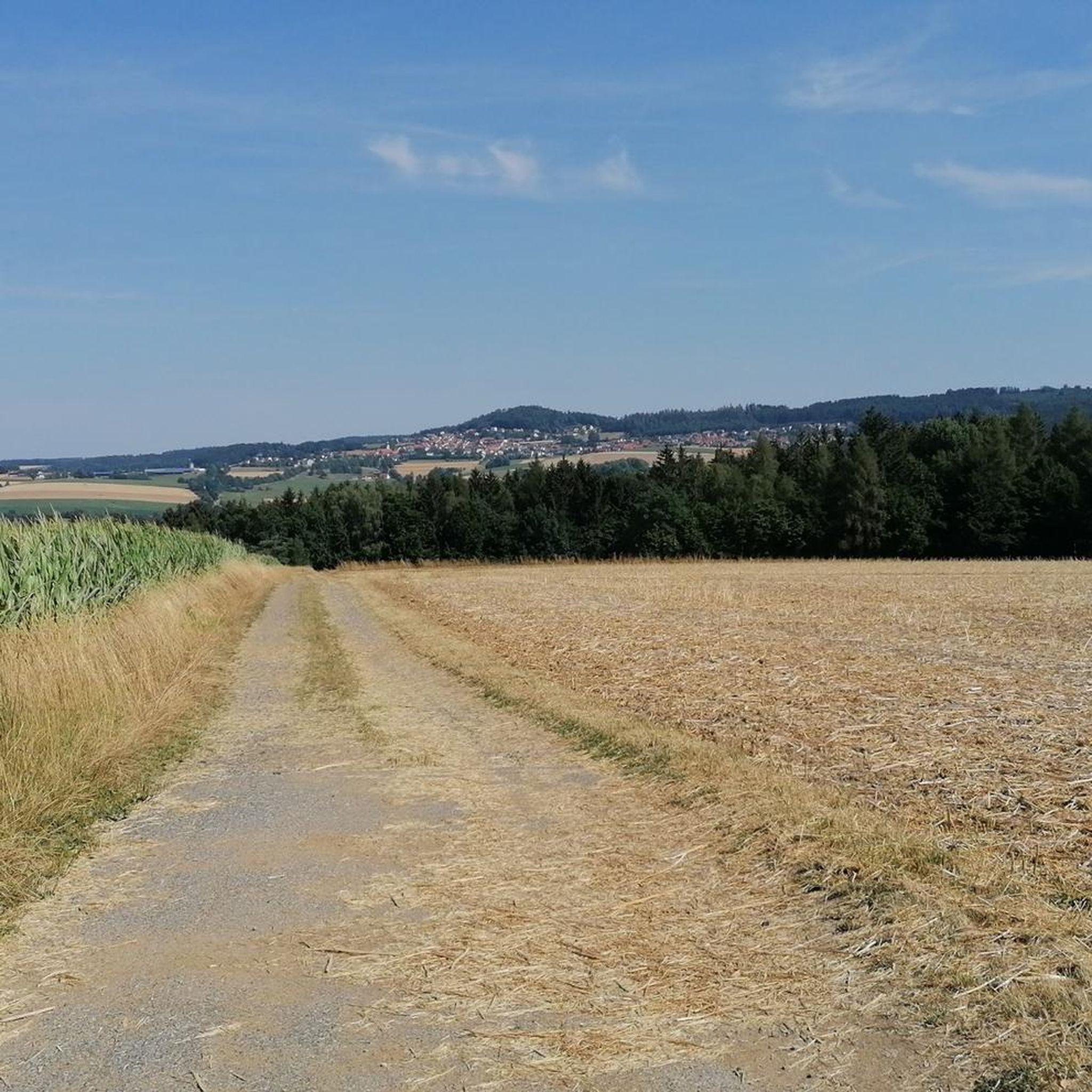
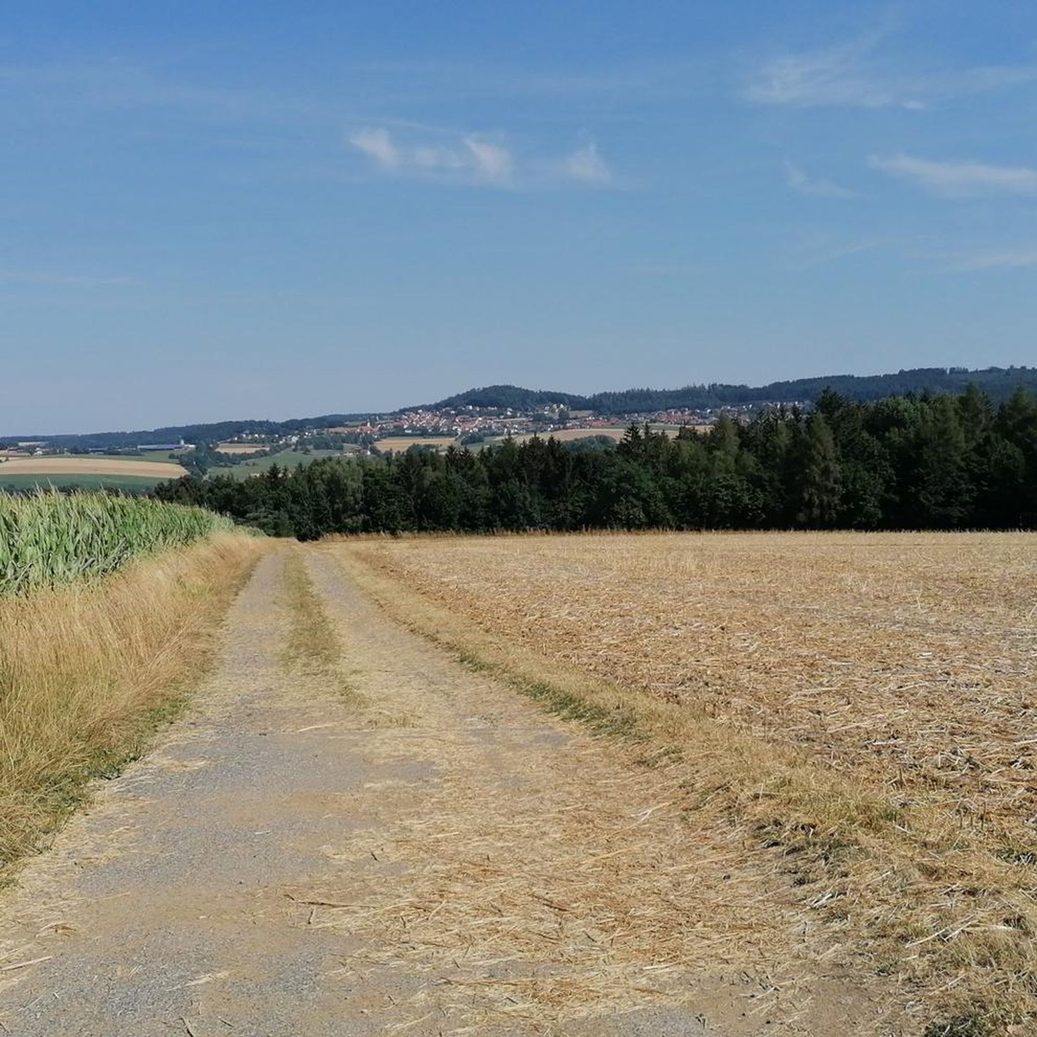
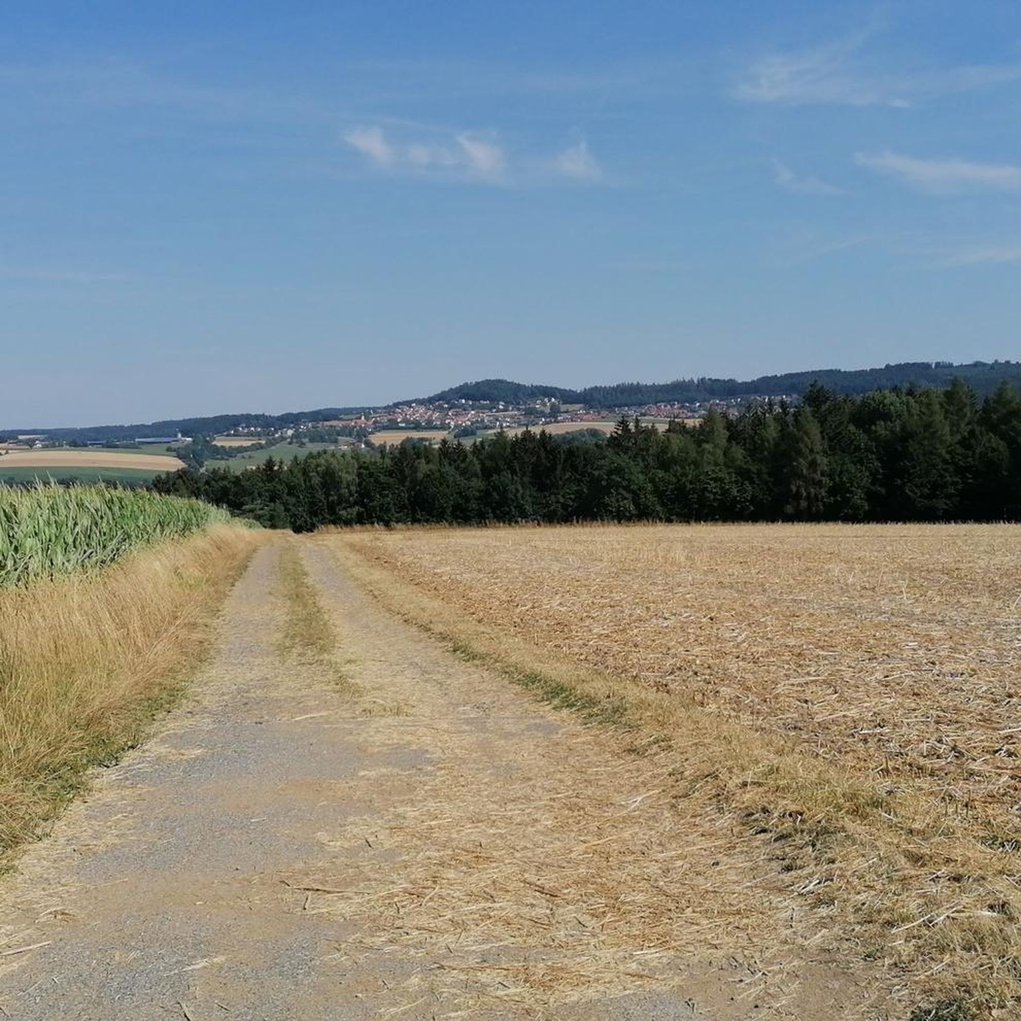
From the Schloßberg you have a wonderful view over Tännesberg and the surrounding area, it's worth it. A panoramic window helps with orientation.
6
0
The Schloßberg offers a fantastic view over Tännesberg, and a panoramic window helps with orientation.
5
0

a magnificent view when standing at the top of the cross. Lots of opportunities to relax and let your gaze wander.
1
0

Beautiful and great view, everything else is already written
1
0
Wooden toys for everyone to use. Good idea
0
0

Hidden peak in the forest with cross and summit book
0
0
Frequently Asked Questions
How many hiking trails are available around Gleiritsch?
Gleiritsch offers a wide variety of hiking experiences, with over 560 routes available. These range from easy strolls to more challenging treks, ensuring there's something for every hiker.
What kind of terrain can I expect on the hiking trails in Gleiritsch?
The terrain around Gleiritsch is quite diverse, characterized by picturesque river valleys like the Pfreimdtal and Kainzbachtal, dense woodlands, and gentle paths that often follow former railway lines. You'll encounter both flat sections and moderate ascents, such as those leading to viewpoints like Schlossberg or Katzanstoi.
Are there easy hiking options suitable for beginners or families?
Yes, Gleiritsch has over 300 easy hiking routes. Many trails, particularly those following former railway lines, offer gentle gradients perfect for beginners or families. An example is the Lohbacherl Watermill loop from Ödmiesbach, which is an easy 4.1-mile (6.6 km) trail through forested areas.
Can I find circular hiking routes in Gleiritsch?
Absolutely. Many of the trails in Gleiritsch are designed as circular routes, allowing you to start and end at the same point. For instance, the Lohbacherl Watermill loop from Pilchau is an easy 4.4-mile (7.1 km) circular hike.
What historical landmarks or natural features can I see while hiking?
The region is rich in both natural beauty and historical sites. You can explore the Pfreimdtal and Kainzbachtal river valleys, which are part of the Natura 2000 network. A prominent historical landmark is the Leuchtenberg Castle Ruins, one of the most important and well-preserved castle complexes in the Upper Palatinate. You might also encounter unique features like the Kraute-Bühler Robber’s Cave.
What do other hikers say about the trails in Gleiritsch?
The hiking trails in Gleiritsch are highly regarded by the komoot community, with an average rating of 4.6 stars from over 1,700 reviews. Hikers often praise the diverse landscapes, the well-maintained paths, and the blend of natural beauty with historical points of interest.
Are the hiking trails around Gleiritsch dog-friendly?
Generally, the natural trails and forest paths around Gleiritsch are suitable for dogs, provided they are kept under control, especially in areas with wildlife or near livestock. Always ensure to follow local regulations and clean up after your pet.
Are there any routes that feature unique points of interest like watermills or sculptures?
Yes, some routes offer distinctive sights. For example, the Katzanstoi (622 m) – Metal Owl Sculpture loop from Ödmiesbach is an easy 4.5-mile (7.2 km) route that includes an ascent to Katzanstoi and features a metal owl sculpture. The Lohbacherl Watermill is also a notable feature on several routes.
What is the best time of year to hike in Gleiritsch?
Gleiritsch offers enjoyable hiking experiences throughout much of the year. Spring and autumn provide pleasant temperatures and beautiful scenery with blooming flowers or vibrant fall foliage. Summer is ideal for longer days and exploring the river valleys, while winter can offer serene, snow-covered landscapes for those prepared for colder conditions.
Are there any longer or more challenging hikes in the area?
Yes, for those seeking a greater challenge, Gleiritsch offers over 230 moderate and 20 difficult routes. A moderate option is the View from Schlossberg – Schlossberg Tännesberg (692 m) loop from Pilchau, a 5.3-mile (8.5 km) trail that includes views from Schlossberg.
Is parking available near the trailheads in Gleiritsch?
Many popular trailheads and starting points in and around Gleiritsch, such as Pilchau, Ödmiesbach, and Gleiritsch itself, typically offer parking facilities. It's always advisable to check specific route details for precise parking information before you set out.
Most popular routes around Gleiritsch
Most popular attractions around Gleiritsch

Get inspired with the komoot mobile app


Explore more
Browse the best Hikes in other regions.
