The best walks and hikes around Glattfelden
4.6
(68)
587
hikers
44
hikes
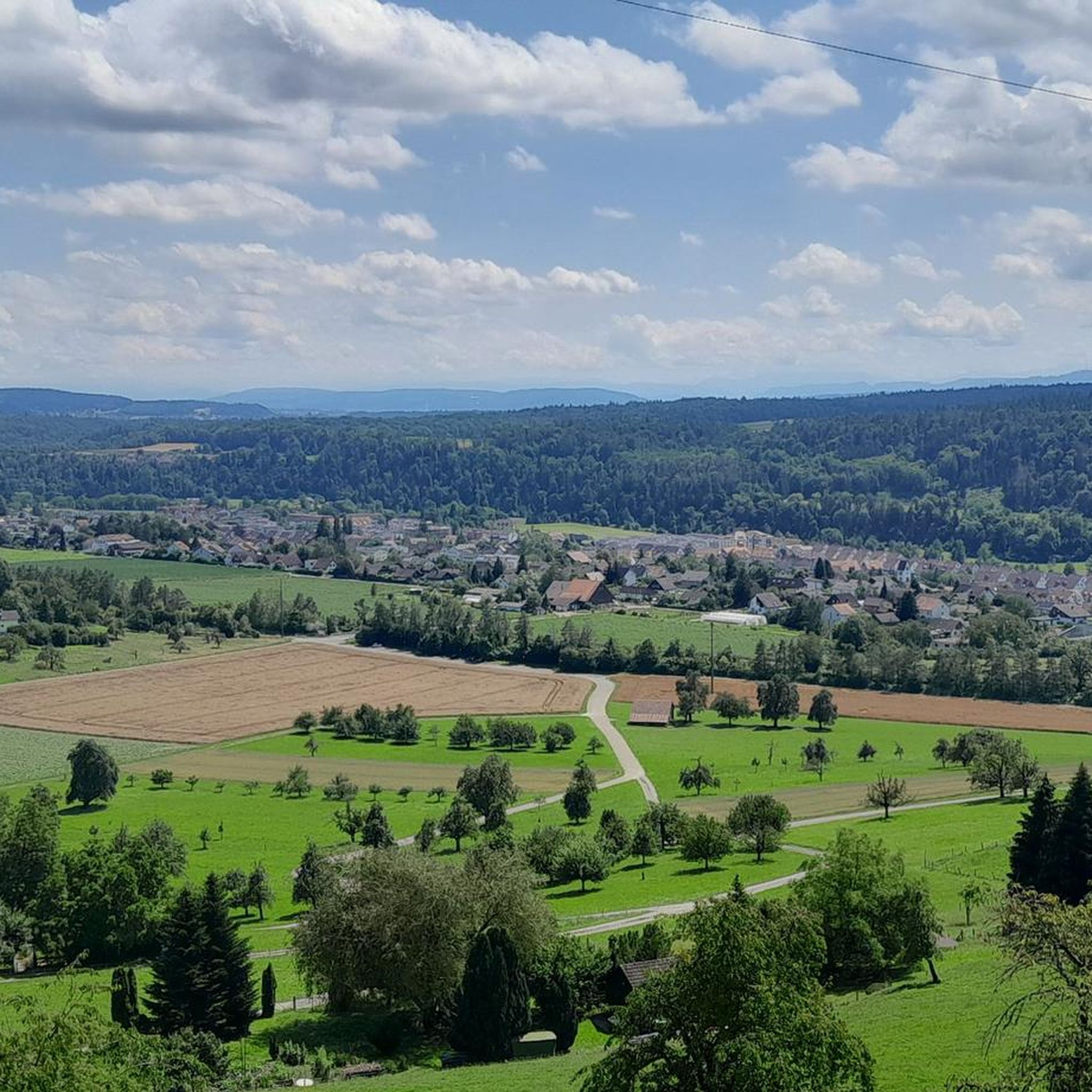
Hiking around Glattfelden offers diverse landscapes characterized by river valleys, gentle hills, and forested areas in the Zurich Unterland region of Switzerland. The terrain often follows the Glatt and Rhine rivers, providing scenic riverside paths. Hikers can expect a mix of open fields, wooded sections, and views of local landmarks.
Best hiking trails around Glattfelden
- The most popular hiking route is Kaiserstuhl – Eglisau-Glattfelden Power Plant loop from Zweidlen, a 6.5 miles (10.5 km) trail that takes 2 hours…
Last updated: October 4, 2026
4.6
(34)
131
hikers
11.3km
03:00
120m
120m
Moderate hike. Good fitness required. Easily-accessible paths. Suitable for all skill levels.
4.8
(6)
39
hikers
12.4km
03:27
220m
220m
Moderate hike. Good fitness required. Easily-accessible paths. Suitable for all skill levels.

5.0
(1)
32
hikers
Moderate hike. Good fitness required. Easily-accessible paths. Suitable for all skill levels.
9
hikers
9.41km
02:39
180m
180m
Moderate hike. Good fitness required. Easily-accessible paths. Suitable for all skill levels.
4.5
(2)
13
hikers
Moderate hike. Good fitness required. Easily-accessible paths. Suitable for all skill levels.
Get access to more routes and recommendations from other explorers.
Already have an account?
Our route recommendations are based on thousands of hikes, rides, and runs completed by other people on komoot.
Start today with a free account
Your next adventure awaits.
Other adventures around Glattfelden

Tips from the Community

Wonderful view over the Rhine
0
0

Hydroelectric power plant Eglisau-Glattfelden, part on the Swiss side with power plant and operational building.
1
0
Very nice to look at, definitely recommended...
0
0

Beautiful morning atmosphere
0
0

One of the original stone arch bridges from the Nordost Bahn, one of Switzerland’s pioneering railroads in the late 1800s built this bridge. It always makes for a good back drop. Two of Zürichs popular cycling routes cross here, the Glattuferweg and the Swiss National Route 2. The Glattuferweg is a main artery which leads to the outskirts of Zürich and opens the door to continue further into the city. The Swiss National Route 2 runs all the way from Andermatt via Chur, St. Margreten and Schaffhausen to Basel. An enjoyable and for the most part easy after Chur.
1
0

where the Rhine is not a state border.
0
0

This former viaduct spans the Glatt just before it flows into the Rhine, where the river marks the border between Switzerland and Germany. The structure stands impressively.
1
0

If you watch it, you will always find different water birds. Some catch the fish in flight. Interesting to watch. The most common are ducks.
2
0
Frequently Asked Questions
How many hiking trails are available around Glattfelden?
There are over 45 hiking trails around Glattfelden, offering a wide range of options for different skill levels and preferences. This includes 24 easy, 19 moderate, and 2 difficult routes.
Are there easy hiking trails suitable for beginners or families in Glattfelden?
Yes, Glattfelden offers 24 easy hiking trails perfect for beginners or families. These routes typically feature gentle terrain and shorter distances. For example, many sections along the Glatt and Rhine rivers are quite flat and accessible.
What kind of terrain can I expect on hikes around Glattfelden?
Hiking around Glattfelden is characterized by diverse landscapes, including river valleys along the Glatt and Rhine, gentle hills, and extensive forested areas. You'll find a mix of open fields, wooded sections, and scenic riverside paths.
Are there any circular hiking routes in Glattfelden?
Yes, many of the trails around Glattfelden are circular, allowing you to start and end at the same point. Examples include the Kaiserstuhl – Eglisau-Glattfelden Power Plant loop from Zweidlen and The Glatt near Glattfelden – Glatt Riverside Path loop from Glattfelden.
Can I bring my dog on hikes in Glattfelden?
Generally, dogs are welcome on hiking trails in Switzerland, including around Glattfelden. It's usually required to keep them on a leash, especially in nature reserves, agricultural areas, or near livestock. Always carry water for your dog and clean up after them.
What are some scenic viewpoints or attractions I can see while hiking?
While hiking around Glattfelden, you can discover several interesting sights. Notable attractions include the Rhine at Eglisau, the impressive Eglisau-Glattfelden Hydroelectric Power Plant, and the historic Kaiserstuhl Castle and Bridge. The Ruins of the Roman Watchtower Hard also offer a glimpse into the region's past.
Are there places to eat or have a coffee along the trails?
Yes, there are several huts and guesthouses in the vicinity where you can stop for refreshments. Options include the Wasen Hut, Guesthouse Wasserstelz, and the Milk Hut Schleinikon, which often serve snacks and drinks.
How can I get to the hiking trails using public transport?
Glattfelden is well-connected by public transport. You can reach the area by train or bus, with several starting points for hikes accessible directly from stations or bus stops. For example, routes often begin near Zweidlen or Glattfelden village, which have public transport links.
Is parking available near the trailheads?
Yes, parking is generally available at various starting points for hikes around Glattfelden. Look for designated parking areas in villages like Glattfelden or Zweidlen. Some smaller trailheads might have limited spots, so arriving early is advisable, especially on weekends.
What is the best time of year to hike in Glattfelden?
The best time to hike in Glattfelden is typically from spring to autumn (April to October). During these months, the weather is generally pleasant, and the trails are clear. Spring offers lush greenery, while autumn brings beautiful fall colors. Summer is also great, but be prepared for warmer temperatures.
Are there challenging hikes for experienced hikers?
While most trails around Glattfelden are easy to moderate, there are 2 routes classified as difficult for those seeking more of a challenge. These routes may involve steeper ascents, longer distances, or more rugged terrain. Always check the route details for specific difficulty ratings.
What do other hikers say about the trails in Glattfelden?
The hiking trails in Glattfelden are highly rated by the komoot community, with an average score of 4.7 stars from over 110 reviews. Hikers often praise the well-maintained paths, the scenic riverside views, and the peaceful atmosphere of the forested sections.
Can I go winter hiking in Glattfelden?
Winter hiking is possible in Glattfelden, especially on lower-lying paths along the rivers. While some trails might be covered in snow or ice, many are still accessible. Always check local conditions and weather forecasts, and wear appropriate footwear for potentially slippery surfaces.
Most popular routes around Glattfelden
Most popular attractions around Glattfelden

Get inspired with the komoot mobile app


Explore more
Browse the best Hikes in other regions.
