The best road cycling routes in Tarkeeth State Forest
4.0
(1)
67
riders
7
rides
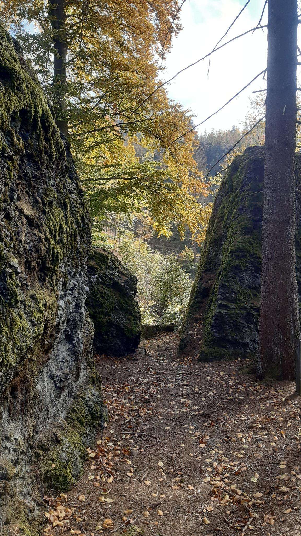
Road cycling in Tarkeeth State Forest offers diverse terrain through hardwood plantations and native regrowth forests. The region, situated on Gumbaynggirr country between the Bellinger and Kalang Rivers, provides varied scenery for cyclists. Routes cater to different fitness levels, with options ranging from shorter, easier rides to more challenging, longer paths. The area features a mix of sealed and unsealed roads, though the listed road cycling routes are suitable for road bikes.
Best road cycling routes in Tarkeeth State Forest
…Last updated: May 15, 2026
4.0
(1)
16
riders
46.6km
02:03
430m
430m
Moderate road ride. Good fitness required. Mostly well-paved surfaces and easy to ride.
9
riders
46.0km
02:03
350m
350m
Moderate road ride. Good fitness required. Mostly well-paved surfaces and easy to ride.

Sign up for free
6
riders
13.3km
00:38
100m
100m
Easy road ride. Great for any fitness level. Mostly well-paved surfaces and easy to ride.
7
riders
57.5km
02:46
430m
430m
Moderate road ride. Good fitness required. Some segments of this route may be unpaved and difficult to ride.
7
riders
29.2km
01:13
160m
160m
Easy road ride. Great for any fitness level. Mostly well-paved surfaces and easy to ride.
Get access to more routes and recommendations from other explorers.
Sign up for free
Already have an account?
Our route recommendations are based on thousands of hikes, rides, and runs completed by other people on komoot.
Start today with a free account
Your next adventure awaits.
Login or Signup
Popular around Tarkeeth State Forest

Frequently Asked Questions
How many road cycling routes are available in Tarkeeth State Forest?
There are 7 distinct road cycling routes available in and around Tarkeeth State Forest, offering a variety of experiences for cyclists.
What are the difficulty levels of road cycling routes in Tarkeeth State Forest?
The routes in this area cater to various skill levels. You'll find 2 easy routes, perfect for a relaxed ride, and 5 moderate routes that offer a bit more challenge. There are no routes classified as difficult.
Are there any easy road cycling routes suitable for beginners or families?
Yes, Tarkeeth State Forest offers easy road cycling options. For instance, the Hungry Head Headland loop from Urunga Wetland Walk is an easy 13.3 km route, and the Hungry Head Headland loop from Urunga, at 29.2 km, is also rated easy, making them suitable for less experienced riders or family outings.
What kind of terrain can I expect while road cycling in Tarkeeth State Forest?
Road cycling in Tarkeeth State Forest and its surroundings offers diverse terrain. You'll ride through hardwood plantations of Flooded Gum and Blackbutt, native regrowth forests, and scenic river valleys. While some longer routes in the broader region might include unpaved segments, the routes listed here are suitable for road bikes, primarily utilizing sealed surfaces.
Are there any circular road cycling routes in the area?
Yes, many of the road cycling routes in Tarkeeth State Forest are designed as loops. Examples include the popular Roadbike loop from McCristal Dr at Jagera Dr, which explores the forest's interior, and coastal loops like the Hungry Head Headland – Wharf post loop from The Honey Place.
What are some notable natural features or attractions I might see along the routes?
The region is rich in natural beauty. You'll cycle through varied forest types, including hardwood plantations and native regrowth. The area is situated on Gumbaynggirr country, nestled between the Bellinger and Kalang Rivers. While cycling, you might catch glimpses of these rivers or enjoy views towards the coast on routes like the Hungry Head Headland loops. Nearby national parks such as Dorrigo, Bellinger River, and Bongil Bongil also contribute to the area's natural appeal.
Where can I park when visiting Tarkeeth State Forest for road cycling?
Specific parking locations vary by route trailhead. For routes starting near Urunga, you might find parking options in the town or near the Urunga Wetland Walk. For routes originating closer to Bellingen, look for parking in or around the town, which serves as a common starting point for local cycling loops.
Are there cafes or places to refuel near the road cycling routes?
Yes, the towns of Bellingen and Urunga, which serve as common starting points or pass-throughs for many routes, offer cafes and amenities. The broader region is known for its picturesque country towns, providing opportunities for refreshments and breaks during your ride.
What is the best time of year to go road cycling in Tarkeeth State Forest?
The Mid North Coast of New South Wales generally enjoys a mild climate, making road cycling enjoyable for much of the year. Spring and autumn often offer the most comfortable temperatures, avoiding the peak heat of summer and the cooler, wetter days of winter. Always check local weather forecasts before heading out.
What do other cyclists say about road cycling in Tarkeeth State Forest?
The road cycling routes in Tarkeeth State Forest are highly rated by the komoot community, with an average score of 4.0 stars. Cyclists often praise the varied terrain, the mix of forest scenery, and the options available for different ability levels, from easy loops to moderate challenges.
Are there longer, more challenging routes for experienced cyclists?
Yes, for experienced cyclists seeking a greater physical test, the region offers moderate routes that can extend up to five hours with significant elevation gain. For example, the Nambucca State Forest loop from Urunga is a moderate 57.5 km route with over 430 meters of elevation gain, providing a substantial challenge.
What kind of wildlife might I encounter while cycling?
Tarkeeth State Forest and the surrounding areas are recognized for their biodiversity. While cycling through the hardwood plantations and native regrowth forests, you might spot various bird species. The region's proximity to national parks and rivers also suggests a diverse range of local fauna, though specific sightings are never guaranteed.
How long do the road cycling routes typically take to complete?
The duration of routes varies depending on their length and difficulty. Easy routes like the 13.3 km Hungry Head Headland loop from Urunga Wetland Walk can be completed in about 37 minutes. Moderate routes, such as the 46.5 km Roadbike loop from McCristal Dr at Jagera Dr, typically take around 2 hours. Longer, more challenging rides can extend up to 5 hours.
Most popular routes in Tarkeeth State Forest

Get inspired with the komoot mobile app


Explore more
Browse the best Road cycling routes in other regions.
