The best walks and hikes around Gingst
4.5
(1458)
5,821
hikers
162
hikes
Hiking around Gingst, Rügen, offers diverse landscapes characterized by rolling hills, expansive fields, and dense forests. The region features a varied topography, providing hiking routes suitable for all experience levels. Proximity to the Bodden landscape and parts of the Nationalpark Vorpommersche Boddenlandschaft adds to the natural appeal. This area provides a range of trails, from leisurely strolls to more challenging paths.
Best hiking trails around Gingst
- The most popular hiking route is St. Mary's Church, Waase – Suhrendorf Dike Path loop from Mursewiek, a 9.7 miles (15.6 km) moderate trail that takes 3 hours 56 minutes to complete. This route offers views of the dike path and surrounding waters.
- Another top favourite among local hikers is Wundersee and Liebesinsel – Pansevitz Castle Ruins loop from Kluis, an easy 1.7 miles (2.7 km) path. This trail leads through natural areas, providing a short and accessible outdoor experience.
- Local hikers also love the Pansevitz Castle Ruins – Wundersee and Liebesinsel loop from West-Rügen, a 9.1 miles (14.6 km) trail leading through varied terrain, often completed in about 3 hours 41 minutes.
- Hiking around Gingst is defined by rolling hills, dense forests, and the unique Bodden landscape. The network offers options for different ability levels, from easy walks to moderate hikes.
- The routes in Gingst are highly rated by the komoot community with an average score of 4.5 stars from more than 1,300 reviews. More than 5,500 hikers have used komoot to explore Gingst's varied terrain.
Last updated: July 21, 2026
4.5
(39)
125
hikers
Moderate hike. Good fitness required. Easily-accessible paths. Suitable for all skill levels.
4.6
(5)
21
hikers
2.72km
00:42
10m
10m
Easy hike. Great for any fitness level. Easily-accessible paths. Suitable for all skill levels.

Sign up for free
5.0
(2)
10
hikers
Moderate hike. Good fitness required. Easily-accessible paths. Suitable for all skill levels.
4.6
(5)
17
hikers
4.48km
01:08
10m
10m
Easy hike. Great for any fitness level. Easily-accessible paths. Suitable for all skill levels.
5.0
(2)
10
hikers
Easy hike. Great for any fitness level. Easily-accessible paths. Suitable for all skill levels.
Get access to more routes and recommendations from other explorers.
Sign up for free
Already have an account?
Our route recommendations are based on thousands of hikes, rides, and runs completed by other people on komoot.
Start today with a free account
Your next adventure awaits.
Login or Signup
Popular around Gingst
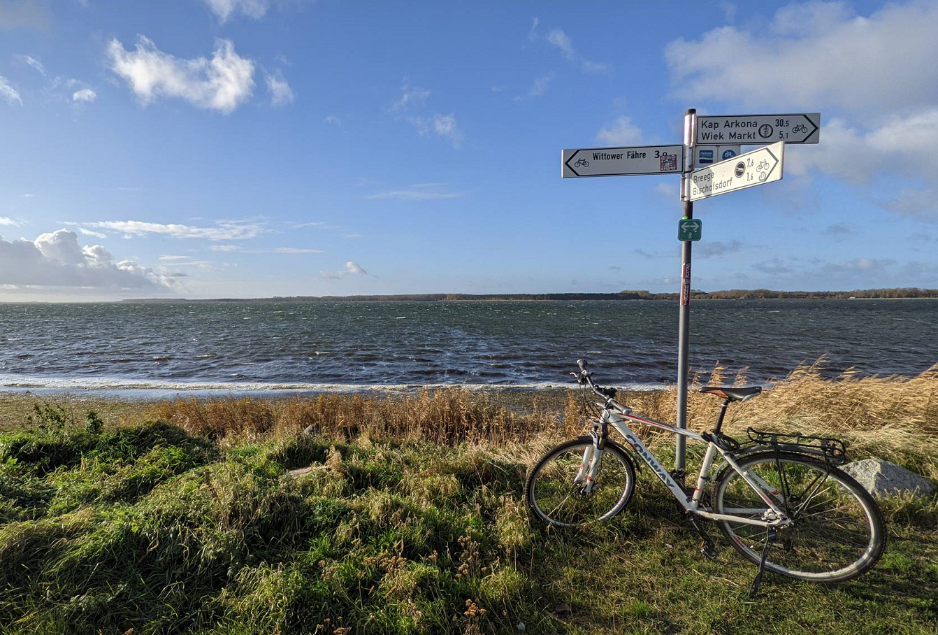
The Rügen circular route – Riding around Germany's largest island
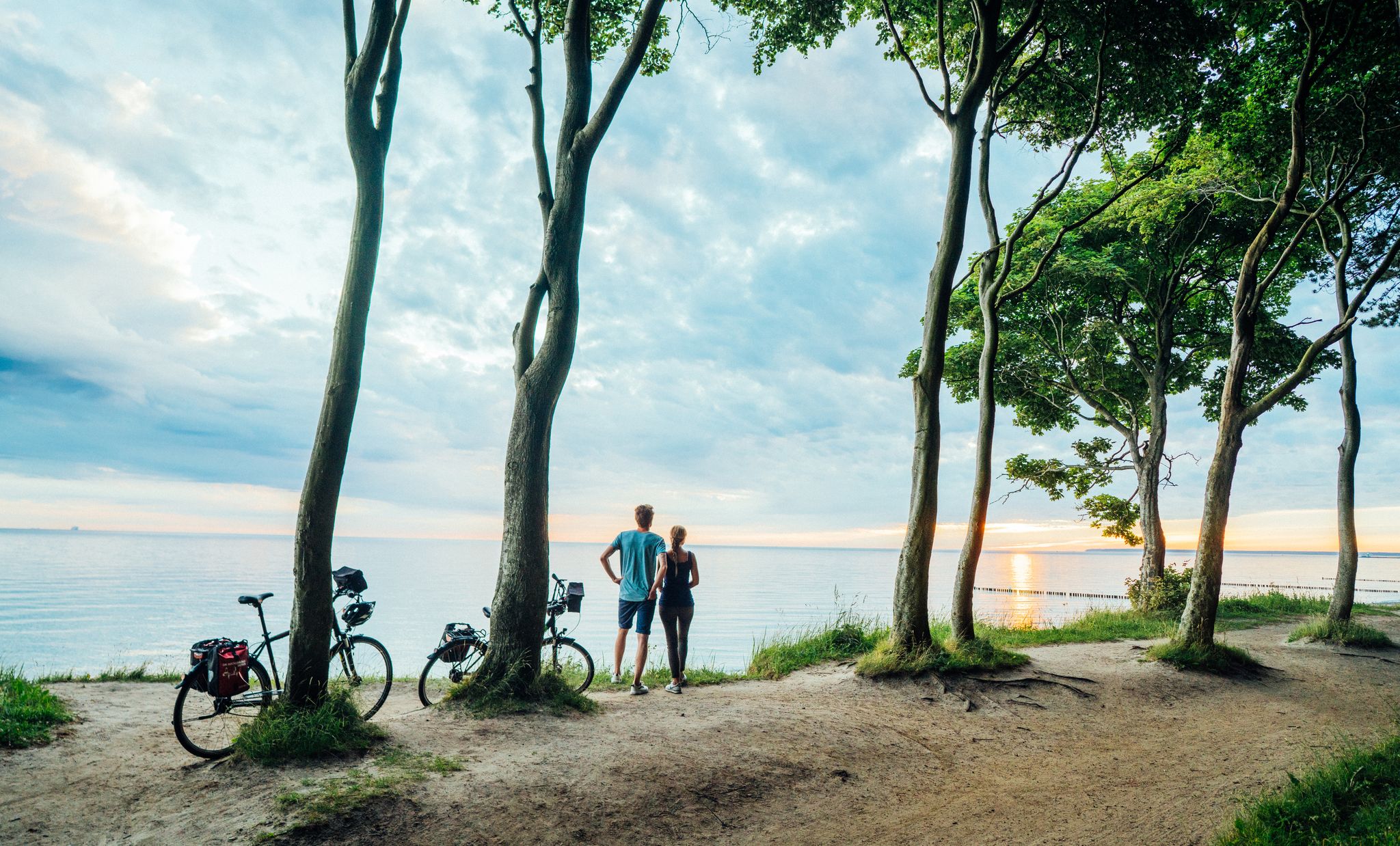
Bicycle touring on the Baltic Sea Cycle Path
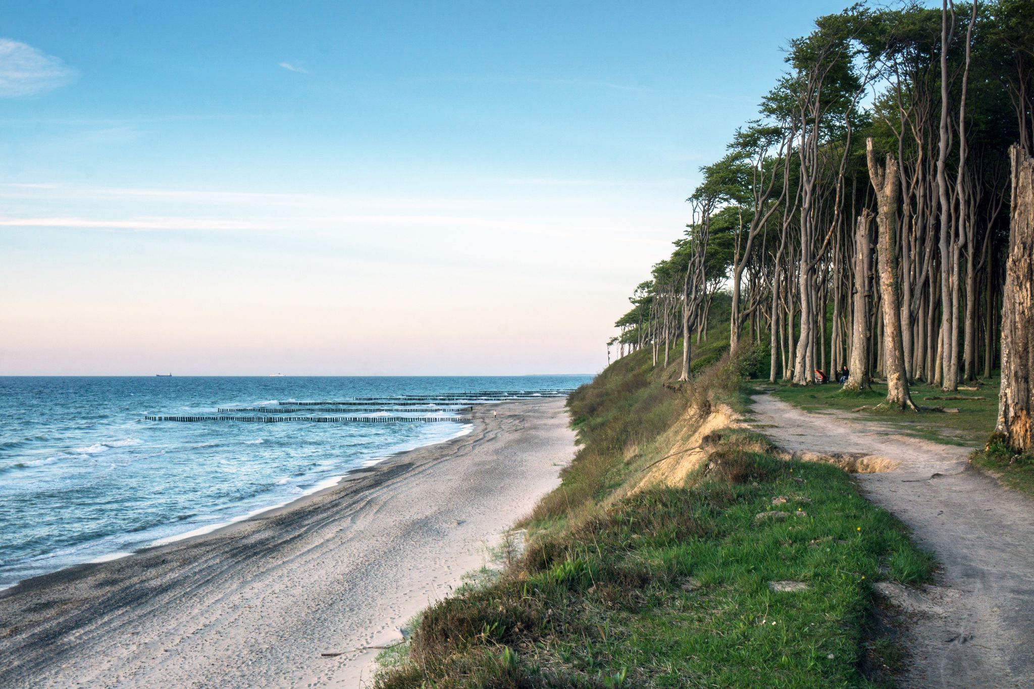
D-Route 2: Baltic Coast Route
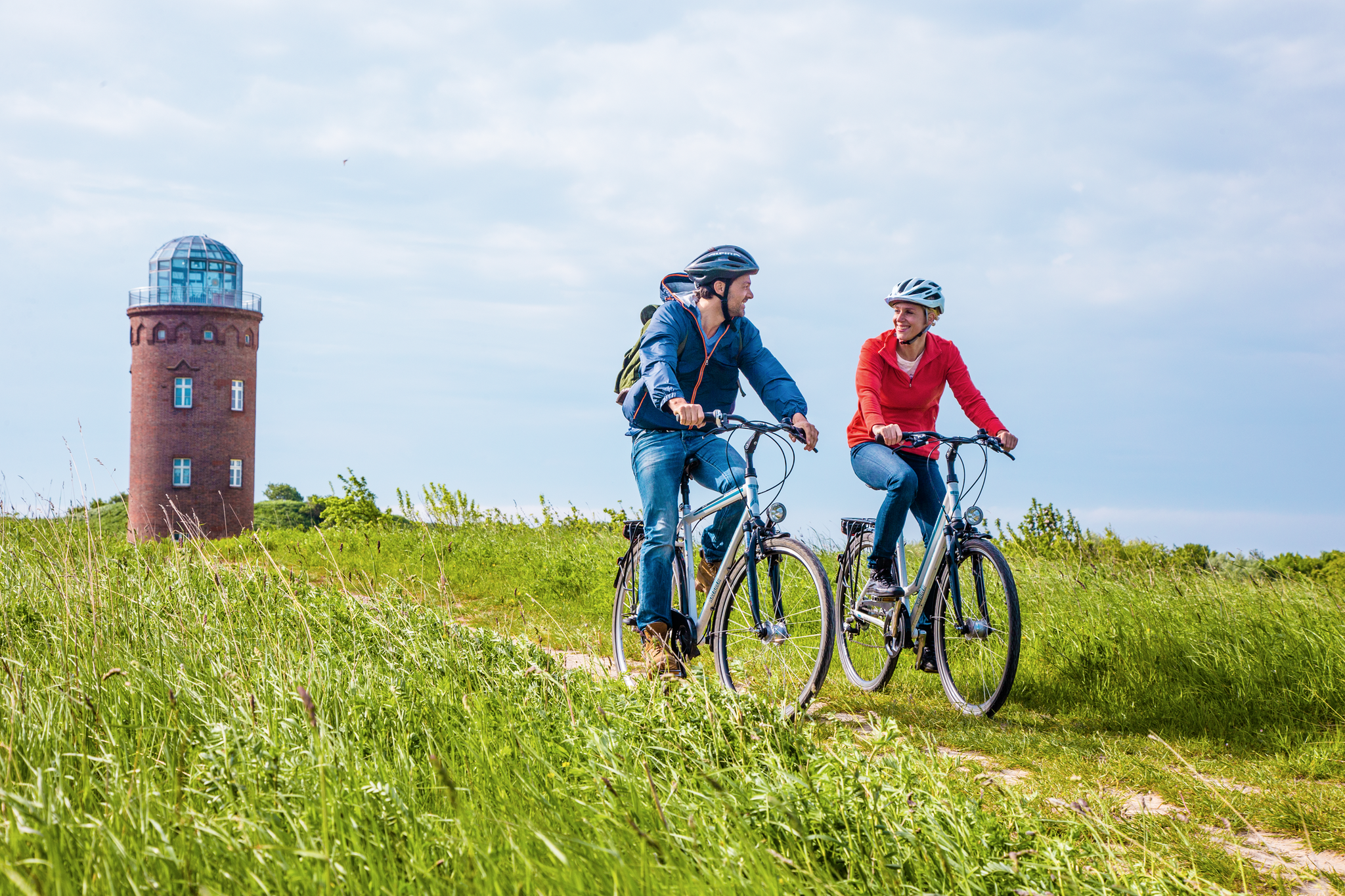
Rügen-Rundweg: Inselzauber auf zwei Rädern!

Ostseeküsten-Radweg: Radeln, wo die Wellen flüstern
Cycling around Gingst
MTB Trails around Gingst
Road Cycling Routes around Gingst
Running Trails around Gingst
Gravel biking around Gingst
Other adventures around Gingst


Tips from the Community

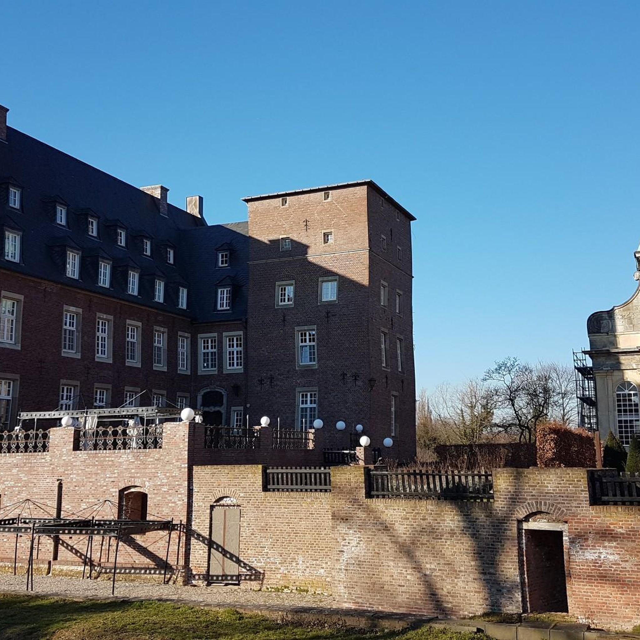
The Pansevitz Castle ruin is a dilapidated manor house, completed in 1597. After World War II, during which it suffered virtually no damage, it was largely used by the local population as a source of building materials.
0
0
Fast square pond, surrounded by many trees
0
0

The stele commemorates the great fire in Gingst in 1950.
0
0

One of a total of five ponds in the Pansevitz park, its rectangular shape can be completely circumnavigated. The well-maintained path is lined with avenue trees. The so-called "North Avenue" leads you directly there, is densely leafy in summer, provides pleasant shade, and creates a very special atmosphere.
1
0
The two buildings of the historic craftsmen's workshops (Kremkehaus and Ifeuhaus) are part of the Gingst Museum Farm complex, which is complemented by other buildings and an inner courtyard. The complex also includes a studio, a blacksmith's shop, an open-air stage, and the museum café. It is normally open three days a week (Thursday to Saturday) between May and the end of October. Various events, markets, guided tours, and painting courses take place here throughout the season, enlivening the place. The "Green Market" on Saturdays also features fresh bread from the stone oven – delicious!
1
0
The asphalted dyke near Suhrendorf is 2.8 kilometers long and can be walked and cycled along. From there you can always see the island of Hiddensee, which is 4 km away - depending on visibility and weather conditions, of course. Especially when there is a strong westerly wind, you can almost be blown off the dyke - which is logical given the exposed location.
3
0
The tourist information office is located in the old parish house and also houses a small national park exhibition.
3
0
Whether for a short break or a picnic - this relatively new rest area with a view of Hiddensee is welcome.
3
0
Frequently Asked Questions
How many hiking trails are available around Gingst?
Gingst offers a wide variety of hiking opportunities, with over 160 trails recorded on komoot. These routes cater to all levels, from easy strolls to more challenging paths, ensuring there's something for every hiker.
What kind of terrain can I expect on hikes near Gingst?
The hiking terrain around Gingst is quite diverse, characterized by rolling hills, expansive fields, and dense forests. You'll also encounter the unique Bodden landscape, which includes coastal areas and wetlands, providing varied scenery and walking surfaces.
What is the best time of year to go hiking in Gingst?
The most favorable times for hiking in Gingst are during spring and autumn. Temperatures are mild, and nature is particularly vibrant with color, offering beautiful scenery. While hiking is possible year-round, these seasons provide the most pleasant conditions.
Are there easy hiking trails suitable for beginners or families in Gingst?
Yes, Gingst has numerous easy hiking options, with over 85 routes classified as easy. A great example is the Wundersee and Liebesinsel – Pansevitz Castle Ruins loop from Kluis, which is a short 2.7 km path through natural areas. The "Königsblick" (King's View) also offers relatively flat terrain, making it suitable for families with children.
Are there any challenging hikes around Gingst?
While Gingst is known for its accessible trails, there are 11 routes classified as difficult for those seeking more of a challenge. These trails might feature longer distances or slightly more varied elevation changes compared to the easier paths.
Can I bring my dog on the hiking trails around Gingst?
Generally, dogs are welcome on most hiking trails around Gingst, especially on leash. However, specific rules may apply in certain protected areas like parts of the Nationalpark Vorpommersche Boddenlandschaft or nature reserves. Always keep your dog under control and respect local signage.
Are there circular hiking routes available in Gingst?
Yes, many of the hiking routes around Gingst are designed as circular paths, allowing you to start and end at the same point. For instance, the St. Mary's Church, Waase – Suhrendorf Dike Path loop from Mursewiek is a popular moderate circular trail offering views of the dike and surrounding waters.
Where can I find scenic viewpoints on hikes near Gingst?
For breathtaking panoramas, consider hiking to the "Königsblick" (King's View), which offers expansive views over the valley and the Jasmund Bodden. You can also climb the tower of the historic St. Jacobi Church in Gingst for sweeping views of the surrounding countryside. Additionally, the Tankow Crane Observation Platform and the Crane Observation Platform, Nationalpark Vorpommersche Boddenlandschaft offer unique perspectives, especially for birdwatching.
What natural features can I explore on hikes around Gingst?
Hiking around Gingst allows you to explore diverse natural features. You can experience the unique Bodden landscape, walk along the Landower Wedde near the Nationalpark Vorpommersche Boddenlandschaft, or visit the scenic Wundersee and Liebesinsel. The region's dense forests and expansive fields also provide rich natural environments.
Are there historical landmarks or attractions to see while hiking in Gingst?
Absolutely. The St. Jacobi Church Gingst – Gingst Market Square loop from West-Rügen takes you past the historic St. Jacobi Church. You can also explore the Gingster Mühlenweg, which passes historic windmills, or visit the beautifully manicured Kubbelkow Mansion Park. The Pansevitz Castle Park is another notable historical site with ancient trees and gardens.
Is parking available near the hiking trailheads in Gingst?
Yes, parking is generally available near popular trailheads and attractions in and around Gingst. Specific parking information can often be found on komoot tour pages or local signage at the starting points of routes.
What do other hikers enjoy most about hiking in Gingst?
The hiking trails in Gingst are highly rated by the komoot community, with an average score of 4.5 stars from over 1,300 reviews. Hikers often praise the diverse landscapes, the tranquility of the Bodden region, and the well-maintained paths that offer a mix of forest, field, and coastal views.
Most popular attractions around Gingst

Get inspired with the komoot mobile app


Explore more
Browse the best Hikes in other regions.
