The best road cycling routes around Gimbweiler
4.6
(176)
2,442
riders
137
rides
Road cycling routes around Gimbweiler traverse a landscape characterized by rolling hills, river valleys, and forested areas. The region features varied elevation changes, from gentle gradients along former railway lines to more sustained climbs through natural parks. Road cyclists can expect a mix of open countryside and routes passing through small towns.
Best road cycling routes around Gimbweiler
- The most popular road cycling route is Iron Bridge in Türkismühle – Türkismühle Information Point loop from Nohfelden, a 12.6 miles…
Last updated: May 8, 2026
4.8
(5)
59
riders
Easy road ride. Great for any fitness level. Mostly well-paved surfaces and easy to ride.
4.6
(7)
38
riders
Moderate road ride. Good fitness required. Mostly well-paved surfaces and easy to ride.

Sign up for free
4.2
(6)
31
riders
Easy road ride. Great for any fitness level. Mostly well-paved surfaces and easy to ride.
3.0
(1)
17
riders
Moderate road ride. Good fitness required. Some segments of this route may be unpaved and difficult to ride.
5.0
(2)
20
riders
30.6km
01:21
280m
280m
Easy road ride. Great for any fitness level. Mostly well-paved surfaces and easy to ride.
Get access to more routes and recommendations from other explorers.
Sign up for free
Already have an account?
Our route recommendations are based on thousands of hikes, rides, and runs completed by other people on komoot.
Start today with a free account
Your next adventure awaits.
Login or Signup
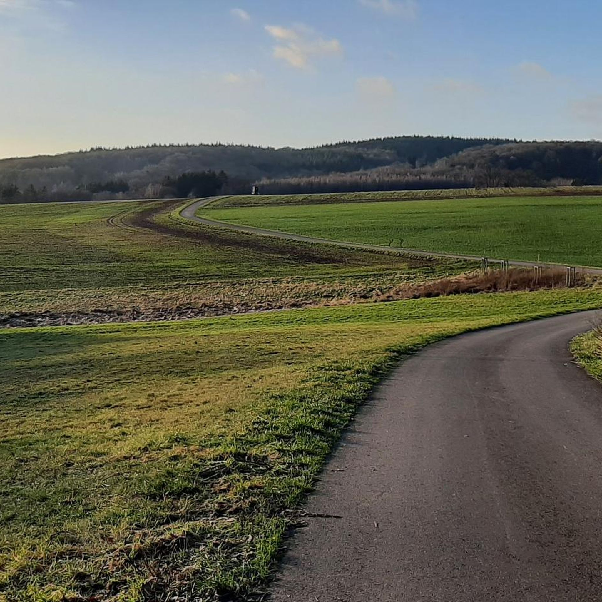
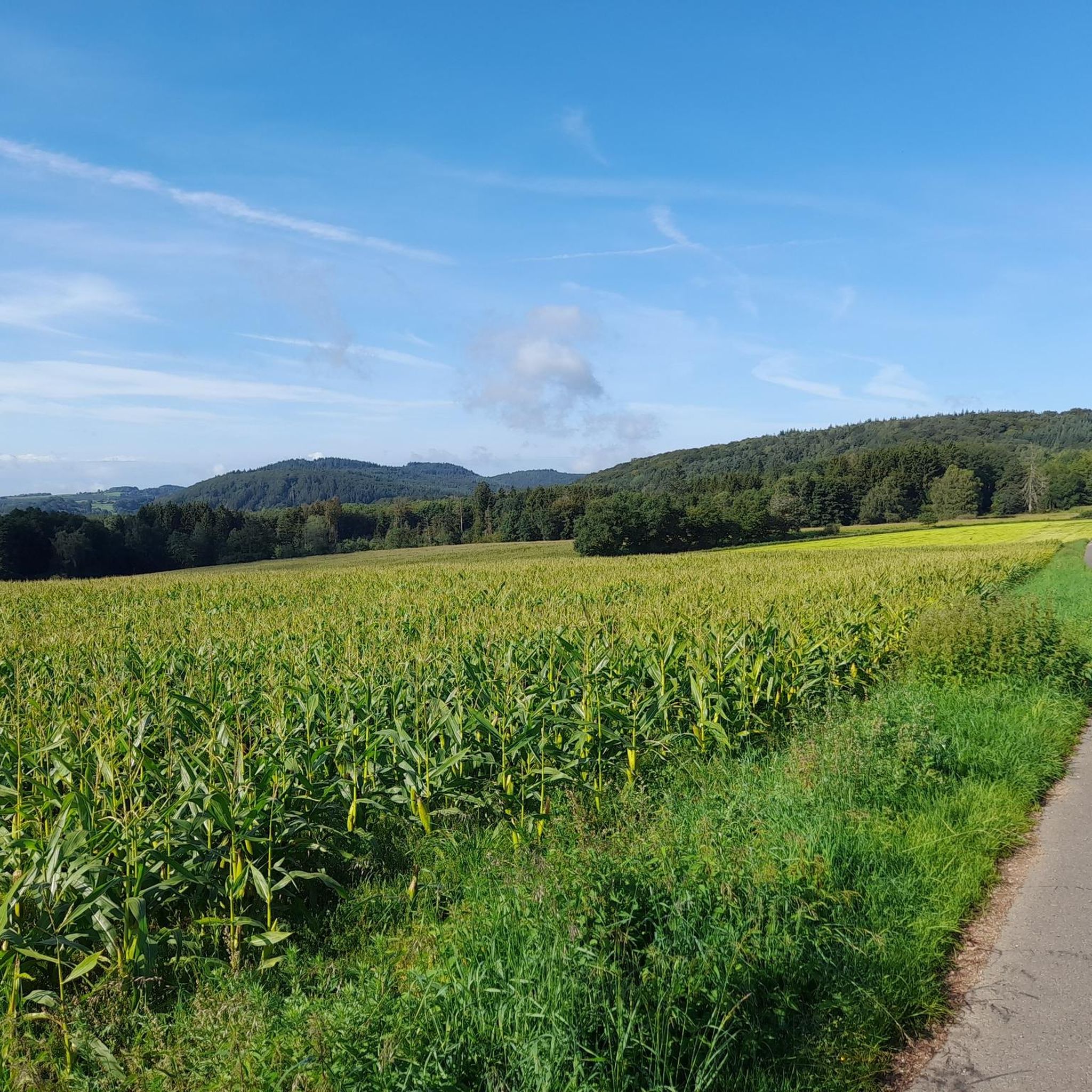
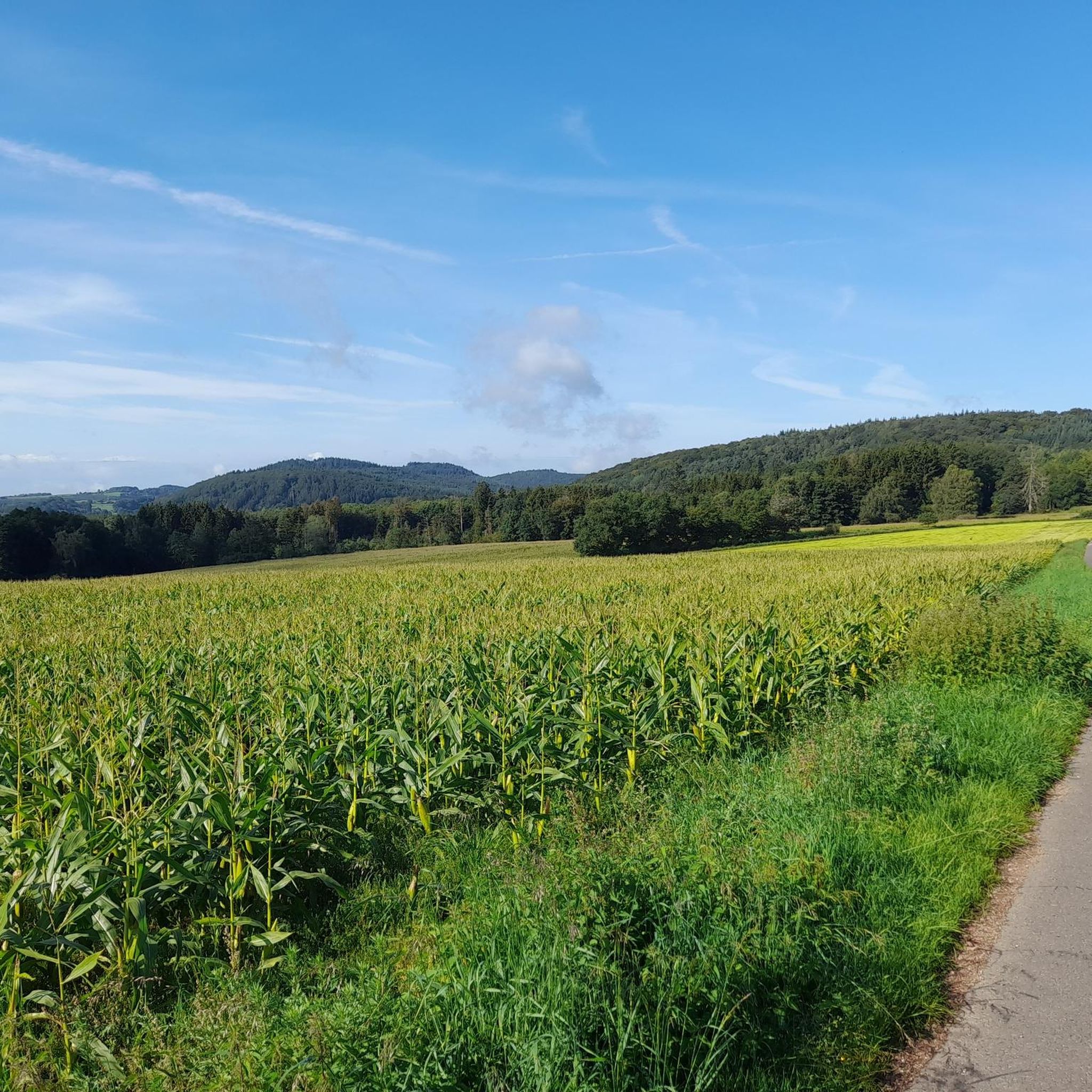
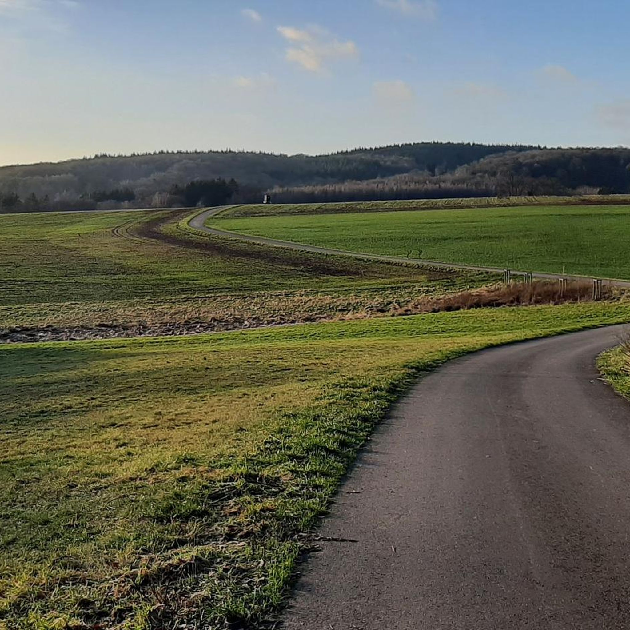

Tips from the Community

Great route, usually little traffic
0
0

That's not the deer watering hole; that's much further up in the forest. That's the bridge over the Traunbach stream.
0
0

below the Rosselhalde
0
0

The Türkismühle information point is a popular spot for cyclists and hikers in the St. Wendeler Land region. It is located near the former mill, dating back to 1747, and features information panels about its history. The surrounding area is ideal for hikes and bike rides through the picturesque landscape.
2
0

Delicious ice cream and very friendly staff
0
0

When navigating on Garmin, more details at intersections, e.g. display complete crossroads
0
0
Frequently Asked Questions
How many road cycling routes are available around Gimbweiler?
There are over 130 road cycling routes to explore around Gimbweiler, catering to various skill levels. You'll find everything from easy loops to more challenging rides with significant elevation gain.
Are there easy road cycling routes suitable for beginners in Gimbweiler?
Yes, Gimbweiler offers several easy road cycling routes perfect for beginners or those seeking a relaxed ride. One popular option is the Iron Bridge in Türkismühle – Türkismühle Information Point loop from Nohfelden, which is 12.6 miles (20.4 km) long and features gentle gradients.
What are some longer or more challenging road cycling routes around Gimbweiler?
For experienced riders looking for a challenge, routes like the Saar-Hunsrück Nature Park – Bridge Over the Traunbach loop from Neubrücke (Nahe) offer significant elevation changes over 36.5 miles (58.7 km). The region's rolling hills and forested areas provide varied terrain for more demanding rides.
What scenic viewpoints or natural attractions can I discover along road cycling routes in Gimbweiler?
Many routes in Gimbweiler pass through picturesque landscapes. You might encounter natural monuments like the Bärenfels — Rocky Outcrop or the tranquil Traunbach Stream and Weir. Some routes also offer views of Bostalsee, a prominent lake in the area.
Are there road cycling routes in Gimbweiler that pass by cafes or pubs?
Yes, many road cycling routes in Gimbweiler are designed to pass through small towns and villages, offering opportunities to stop at local cafes or pubs. The routes often connect these communities, allowing for convenient breaks and refreshments along your ride.
What is the best season for road cycling in Gimbweiler?
The best season for road cycling in Gimbweiler is typically from spring to autumn. During these months, the weather is generally mild, and the natural scenery, from blooming fields to colorful forests, is at its most appealing. Summer offers longer daylight hours, while spring and autumn provide comfortable temperatures.
Are there family-friendly road cycling routes in Gimbweiler?
While specific 'family-friendly' designations for road cycling can vary, routes that follow former railway lines, such as sections of the Martin Train Station – Old Birkenfeld Railway Station loop from Hoppstädten (Nahe), often feature gentler gradients and less traffic, making them more suitable for families with older children or those seeking a relaxed pace.
Are there loop road cycling routes available in Gimbweiler?
Yes, Gimbweiler offers numerous loop road cycling routes, which are ideal for starting and ending your ride in the same location. An example is the Baumholder Pond – Breitsesterhof loop from Hoppstädten (Nahe), a moderate 19-mile (30.6 km) circuit.
Is parking available near the road cycling routes in Gimbweiler?
Parking is generally available in the towns and villages that serve as starting points for many road cycling routes around Gimbweiler. Look for designated parking areas in places like Nohfelden or Hoppstädten (Nahe), which are common access points for the region's trails.
Can I reach road cycling routes in Gimbweiler using public transport?
Public transport options, including regional train and bus services, connect some of the towns and villages around Gimbweiler. These can provide access points to various road cycling routes, though it's advisable to check local timetables and bicycle transport policies in advance.
What do other road cyclists enjoy the most about road cycling in Gimbweiler?
The road cycling experience in Gimbweiler is highly rated by the komoot community, with an average score of 4.6 stars from over 170 reviews. Cyclists often praise the region's varied terrain, which includes rolling hills and river valleys, and the well-maintained routes that pass through charming small towns and forested areas.
Most popular routes around Gimbweiler
Most popular attractions around Gimbweiler

Get inspired with the komoot mobile app


Explore more
Browse the best Road cycling routes in other regions.
