The best walks and hikes around Općina Brtonigla
4.3
(925)
5,882
hikers
34
hikes
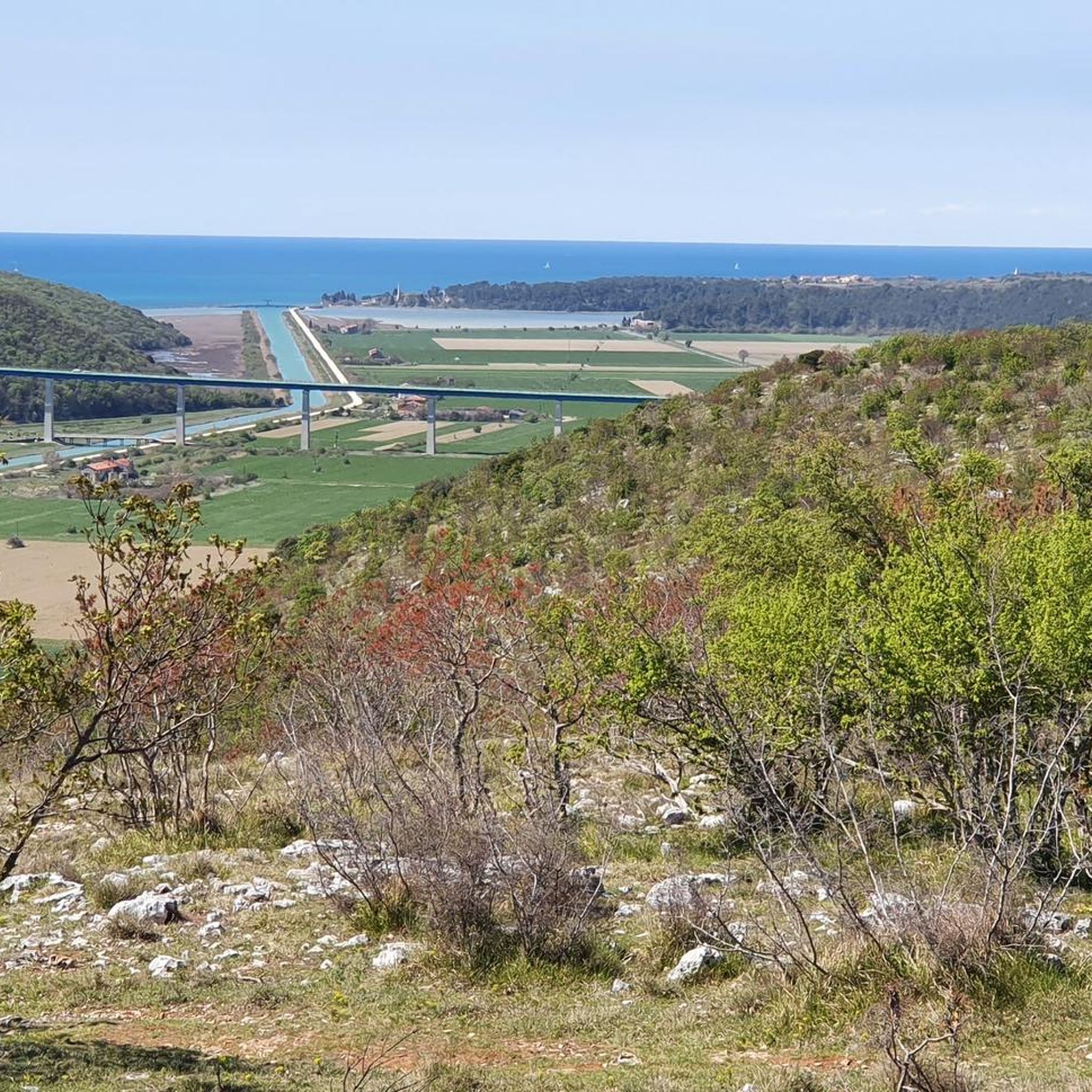
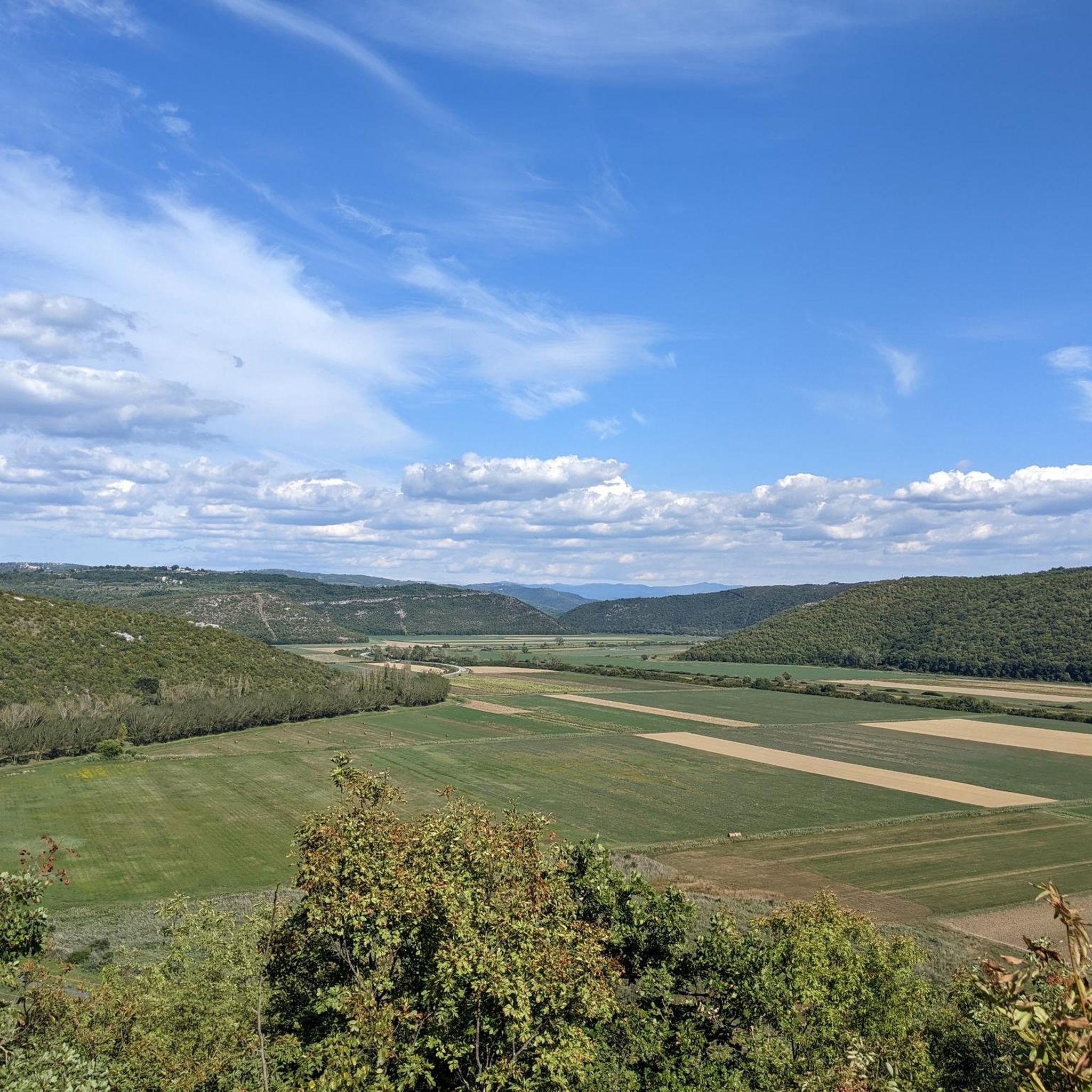
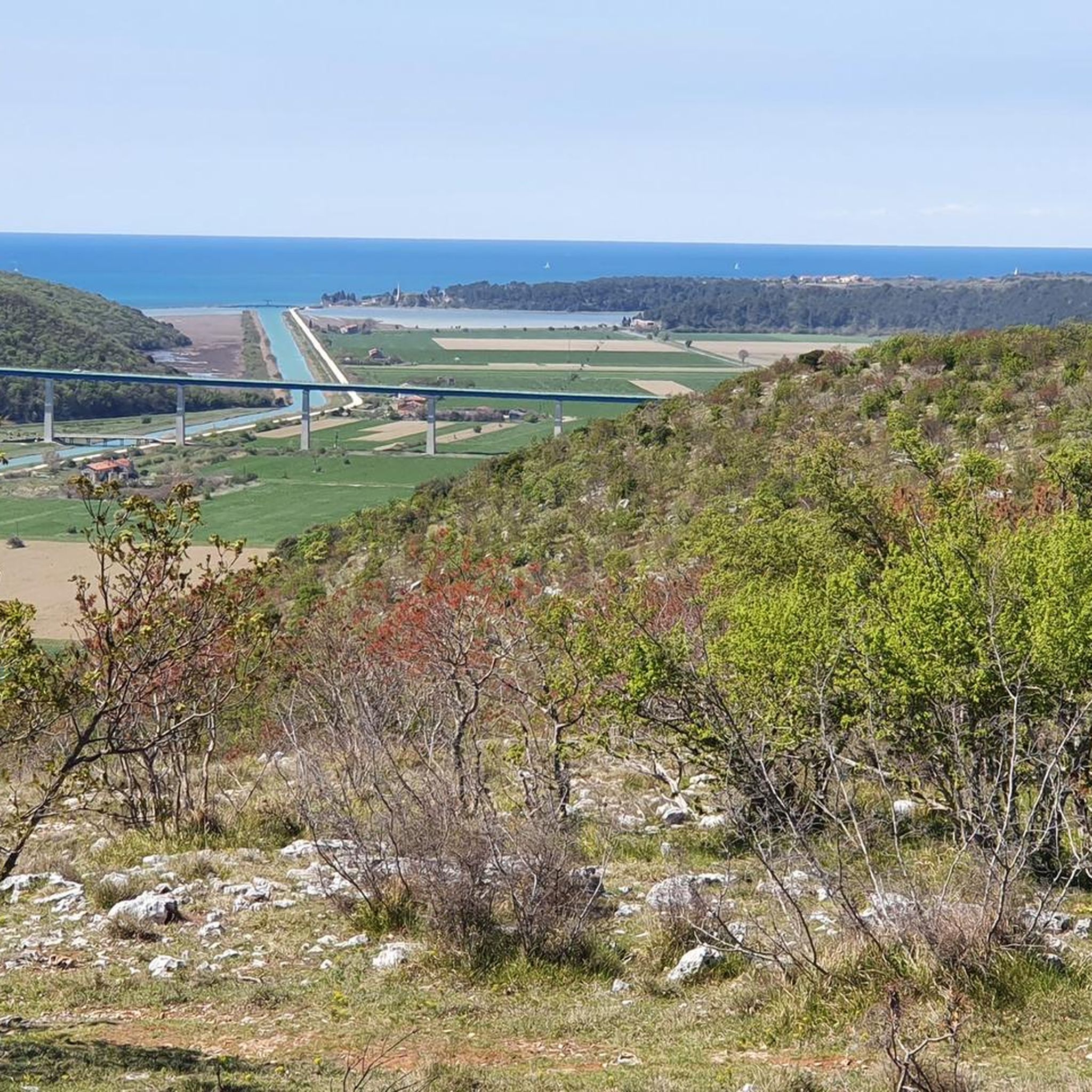
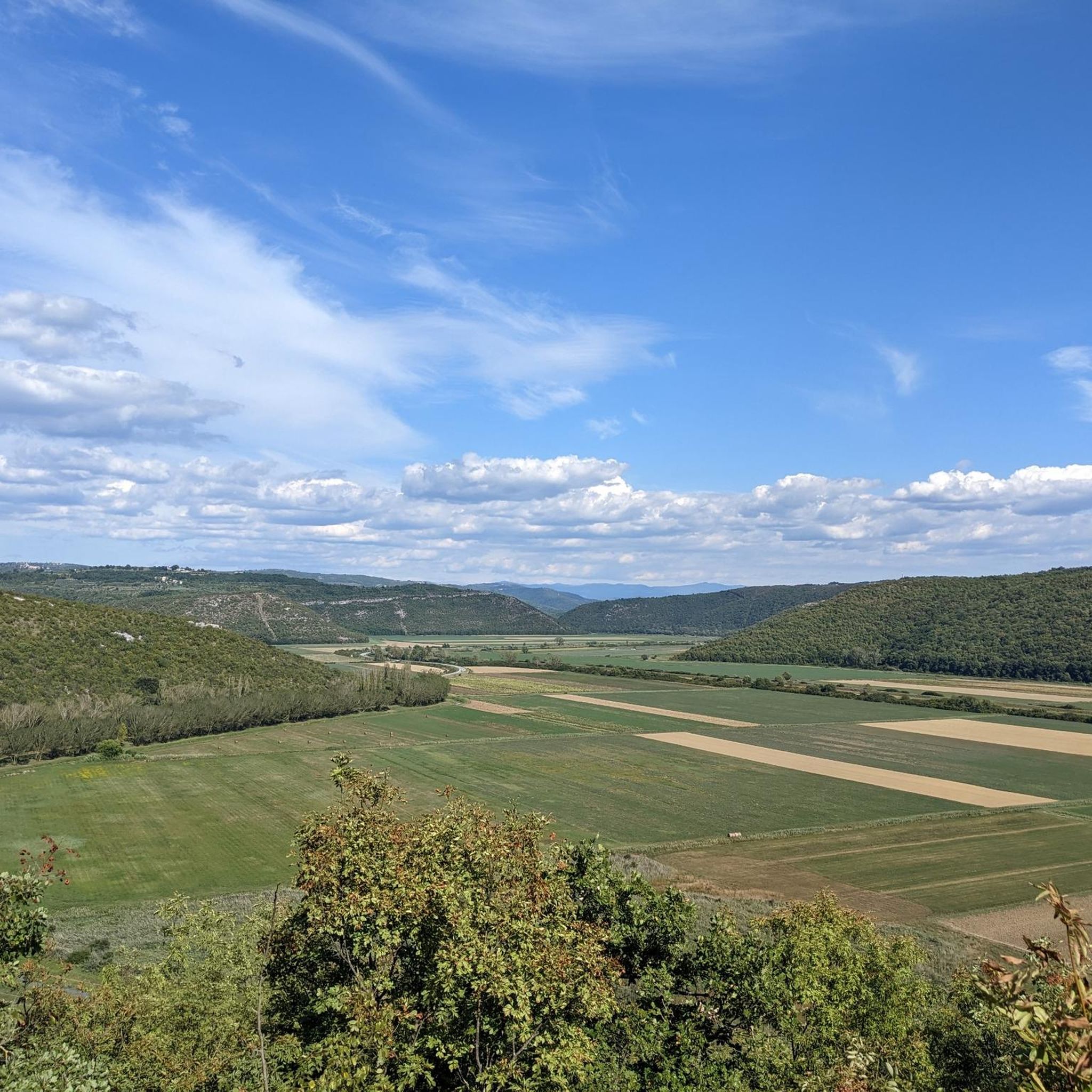
Hiking around Općina Brtonigla, located in Istria, Croatia, offers diverse landscapes for outdoor exploration. The region features a unique green canyon carved by the Škarline stream within the Škarline Nature Park, which includes small lakes and cascades. Trails often traverse picturesque vineyards and olive groves, providing views that can extend towards the sea from elevated points. The terrain primarily consists of macadam tracks and field routes, with some paved sections.
Best hiking trails around Općina Brtonigla
- The most popular hiking route is Skarline Pond – Škarlina Canyon Nature Park loop from Brtonigla, a 6.1 miles (9.9 km) trail that takes 2 hours 52 minutes to complete. This moderate route explores the natural features of the Škarlina Canyon.
- Another top favourite among local hikers is Swimming pool with water slides – Sunset in Umag loop from Karigador, an easy 4.6 miles (7.4 km) path. This route offers coastal views and a relaxed walking experience.
- Local hikers also love the Škarlina Canyon Nature Park – Skarline Pond loop from Nova Vas, a 4.2 miles (6.8 km) trail leading through the green canyon and its natural water features, often completed in about 1 hour 58 minutes.
- Hiking around Općina Brtonigla is defined by green canyons, extensive vineyards, and coastal views. The network offers options for easy walks and moderate treks.
- The routes in Općina Brtonigla are highly rated by the komoot community with an average score of 4.3 stars from over 290 reviews. More than 1700 hikers have used komoot to explore Općina Brtonigla's varied terrain.
Last updated: October 5, 2026
4.6
(46)
156
hikers
9.90km
02:53
180m
180m
Moderate hike. Good fitness required. Mostly accessible paths. Sure-footedness required.
4.7
(26)
201
hikers
7.49km
01:56
40m
40m
Easy hike. Great for any fitness level. Easily-accessible paths. Suitable for all skill levels.

4.7
(31)
111
hikers
6.77km
01:58
130m
130m
Moderate hike. Great for any fitness level. Mostly accessible paths. Sure-footedness required.
4.5
(16)
95
hikers
17.6km
04:36
120m
120m
Moderate hike. Good fitness required. Easily-accessible paths. Suitable for all skill levels.
4.5
(11)
55
hikers
7.54km
01:57
40m
40m
Easy hike. Great for any fitness level. Easily-accessible paths. Suitable for all skill levels.
4.3
(9)
43
hikers
7.85km
02:01
40m
40m
Moderate hike. Good fitness required. Easily-accessible paths. Suitable for all skill levels.
4.5
(6)
17
hikers
Moderate hike. Good fitness required. Easily-accessible paths. Suitable for all skill levels.
3.0
(2)
32
hikers
4.37km
01:08
30m
30m
Easy hike. Great for any fitness level. Easily-accessible paths. Suitable for all skill levels.
5.0
(3)
18
hikers
8.11km
02:07
60m
60m
Moderate hike. Good fitness required. Easily-accessible paths. Suitable for all skill levels.
4.7
(3)
21
hikers
5.10km
01:23
70m
70m
Easy hike. Great for any fitness level. Easily-accessible paths. Suitable for all skill levels.
Get access to more routes and recommendations from other explorers.
Already have an account?
Our route recommendations are based on thousands of hikes, rides, and runs completed by other people on komoot.
Start today with a free account
Your next adventure awaits.

Tips from the Community


Period after the Second World War: After 1948, the Yugoslav authorities nationalized the estate. The monastery briefly served as a home for the elderly and infirm and as a hospital, after which it was completely abandoned.
0
0
New splendor (1860–1948): The Benedictines return in 1860 and once again turn the complex into a monastery which becomes an important religious and economic center of Istria.
0
0
Renovation into a palace: In 1839, Francesco Grisoni hired the famous French architect Gabriel LeMaira. LeMaire transforms the old monastery into a lavish neoclassical residence (villa) with a palace, symmetrical wings, and a beautiful courtyard overlooking the sea.
0
0
Greek monks (5th–9th century): In the early Middle Ages, Greek monks built a monastery and a church dedicated to Saint John the Baptist. Benedictines (9th century): The monastery was taken over by Benedictines, but in the 13th century it was completely abandoned after devastation and the spread of the plague.
0
0
The object in the picture is actually the well-known former Dajla monastery (Croatian: Samostan Dajla or Villa Grisoni), located in the village of Dajla near Novigrad in Istria, and in some tourist guides or applications it is mistakenly listed under the name Savudrija.
0
0

The Dajla Monastery complex in Croatia is a former Benedictine monastery near Novigrad, which has had a long history: from a medieval monastery to a noble summer residence, and finally back to a monastery in the 19th century. Abandoned after World War II and nationalized by the Yugoslav regime, it was later used as a retirement home before being left abandoned again. The current ownership is the subject of a legal dispute between the local diocese and the Benedictines of Praglia, but the complex remains a cultural monument of great architectural value.
1
0

perfect place to watch the sunset
0
0
Frequently Asked Questions
How many hiking trails are available in Općina Brtonigla?
Općina Brtonigla offers a diverse network of 36 hiking trails. These include 19 easy routes and 17 moderate treks, ensuring options for various fitness levels and preferences.
What kind of terrain can I expect on the hiking trails in Općina Brtonigla?
The trails in Općina Brtonigla feature a mix of terrain. You'll primarily encounter macadam tracks and field routes, with some paved sections. The landscape often includes picturesque vineyards, olive groves, and the unique green canyon of the Škarline stream.
What natural features or landmarks can I see while hiking in Općina Brtonigla?
Hikers can explore several notable natural features. The most prominent is the Škarlina Canyon Nature Park, with its green canyon, small lakes, and cascades. Many trails also offer views of extensive vineyards, olive groves, and panoramic vistas towards the Adriatic Sea from elevated points like Žmergo hill.
Are there any historical sites or cultural points of interest along the trails?
Yes, some trails incorporate historical elements. You might discover a small, still-functioning 'old water system' from 1936. Additionally, the Brtonigla Historic Town Center, with its charming architecture and churches like the Church of St. Zenon, is often accessible from nearby routes.
Are there easy hiking trails suitable for beginners or families?
Absolutely. Općina Brtonigla has 19 easy hiking routes, perfect for beginners or families. An example is the Swimming pool with water slides – Sunset in Umag loop from Karigador, an easy 4.6-mile (7.4 km) path offering coastal views and a relaxed walking experience.
Are there more challenging hikes for experienced trekkers?
While there are no 'difficult' graded routes, Općina Brtonigla offers 17 moderate trails that provide a good challenge. These can range from 3-5 hours for 25 km, or even 7-12 hours for longer 45-50 km treks for those seeking a more extensive experience. An example is the View of Novigrad Harbor – Novigrad's Colorful Umbrellas loop from Karigador, a moderate 11.8-mile (18.9 km) route.
Are there circular hiking routes available in Općina Brtonigla?
Yes, many of the trails in Općina Brtonigla are designed as circular routes, allowing you to start and end at the same point. A popular option is the Skarline Pond – Škarlina Canyon Nature Park loop from Brtonigla, which is 6.1 miles (9.9 km) long.
What is the best time of year to go hiking in Općina Brtonigla?
Općina Brtonigla is enjoyable for hiking throughout much of the year. Spring and autumn offer pleasant temperatures and vibrant scenery. During warmer months, the refreshing air within the Škarline Canyon provides a welcome respite. Trails are generally well-maintained, making them accessible in most seasons.
Are the hiking trails in Općina Brtonigla suitable for dogs?
Many trails in Općina Brtonigla are suitable for dogs, especially those traversing natural landscapes like vineyards, olive groves, and the Škarline Nature Park. It's always recommended to keep dogs on a leash and be mindful of local regulations and other hikers.
What do other hikers enjoy most about the trails in Općina Brtonigla?
The trails in Općina Brtonigla are highly rated by the komoot community, with an average score of 4.3 stars from over 290 reviews. Hikers frequently praise the diverse landscapes, including the unique green canyon of the Škarline stream, the scenic vineyards and olive groves, and the panoramic views that often extend to the sea.
Where can I find parking or access trails by public transport?
While specific public transport options to trailheads can vary, many routes, especially those starting from towns like Brtonigla or Karigador, offer accessible parking. It's advisable to check the starting point of your chosen route for specific parking information.
Are there any trails that lead to coastal views or beaches?
Yes, several trails offer beautiful coastal views and can lead to the sea. For instance, the Coastal Pathway – Old Monastery of Savudrija loop from Karigador provides a relaxed walk along the coast. Another option is the View of the Beach – Peaceful Swimming Bay loop from Lovrečica.
Most popular routes around Općina Brtonigla
Most popular attractions around Općina Brtonigla

Get inspired with the komoot mobile app


Explore more
Browse the best Hikes in other regions.
