The best walks and hikes around Grad Zlatar
4.8
(244)
1,118
hikers
18
hikes
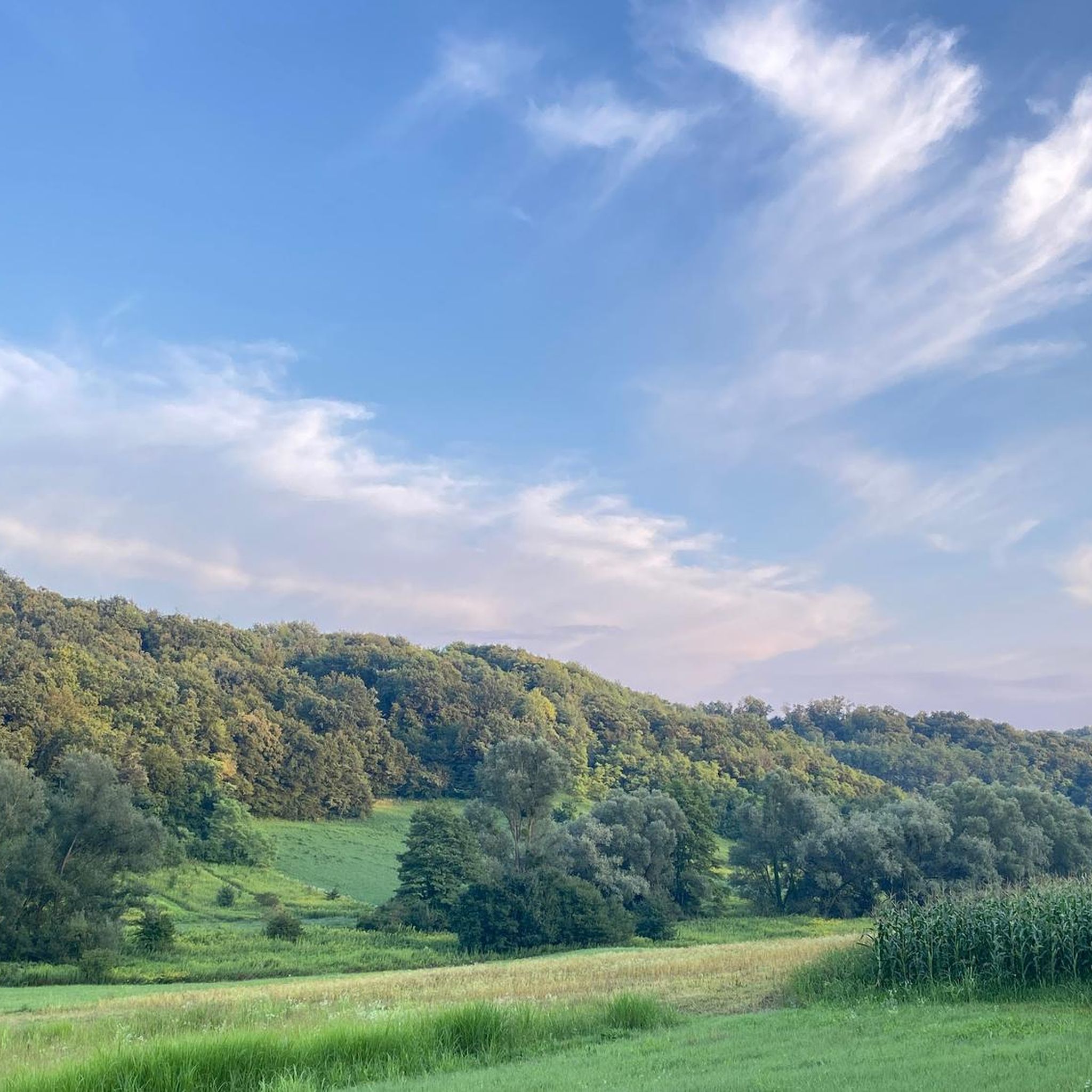
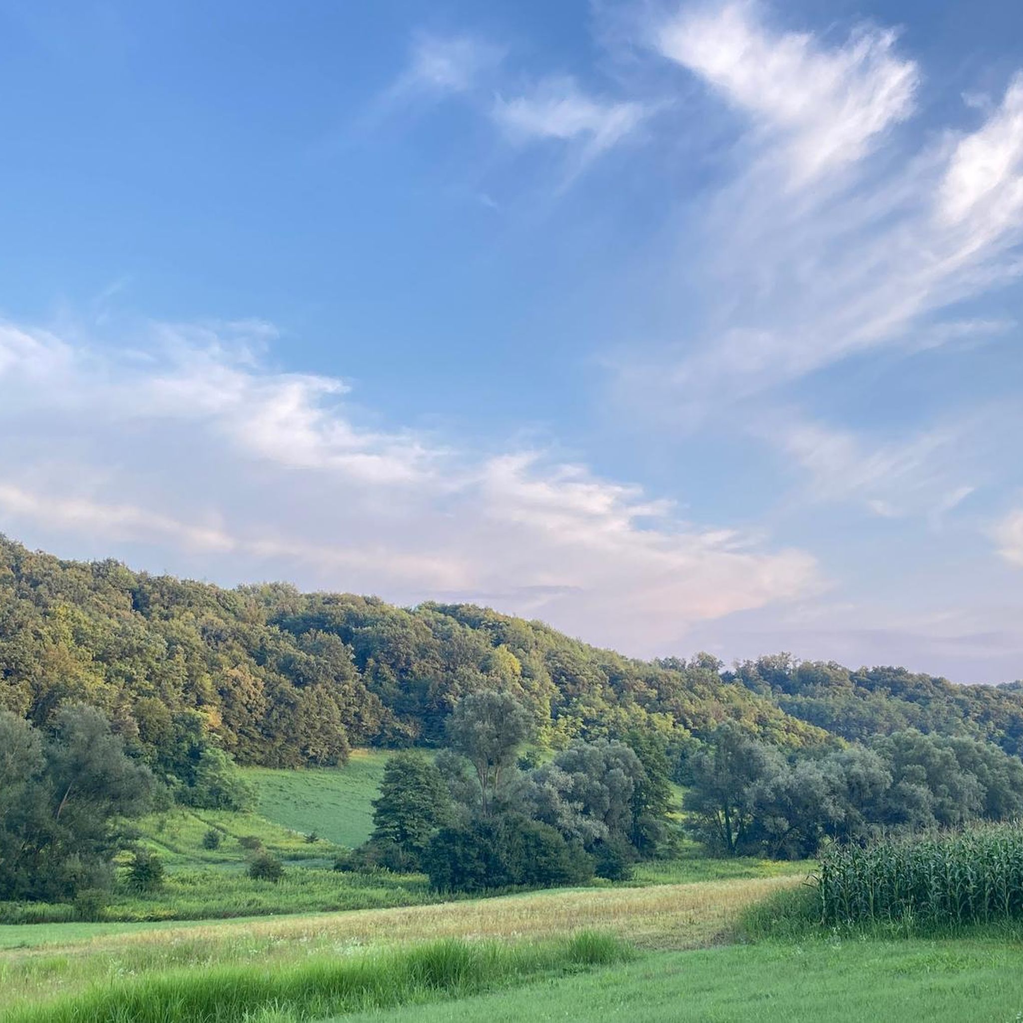
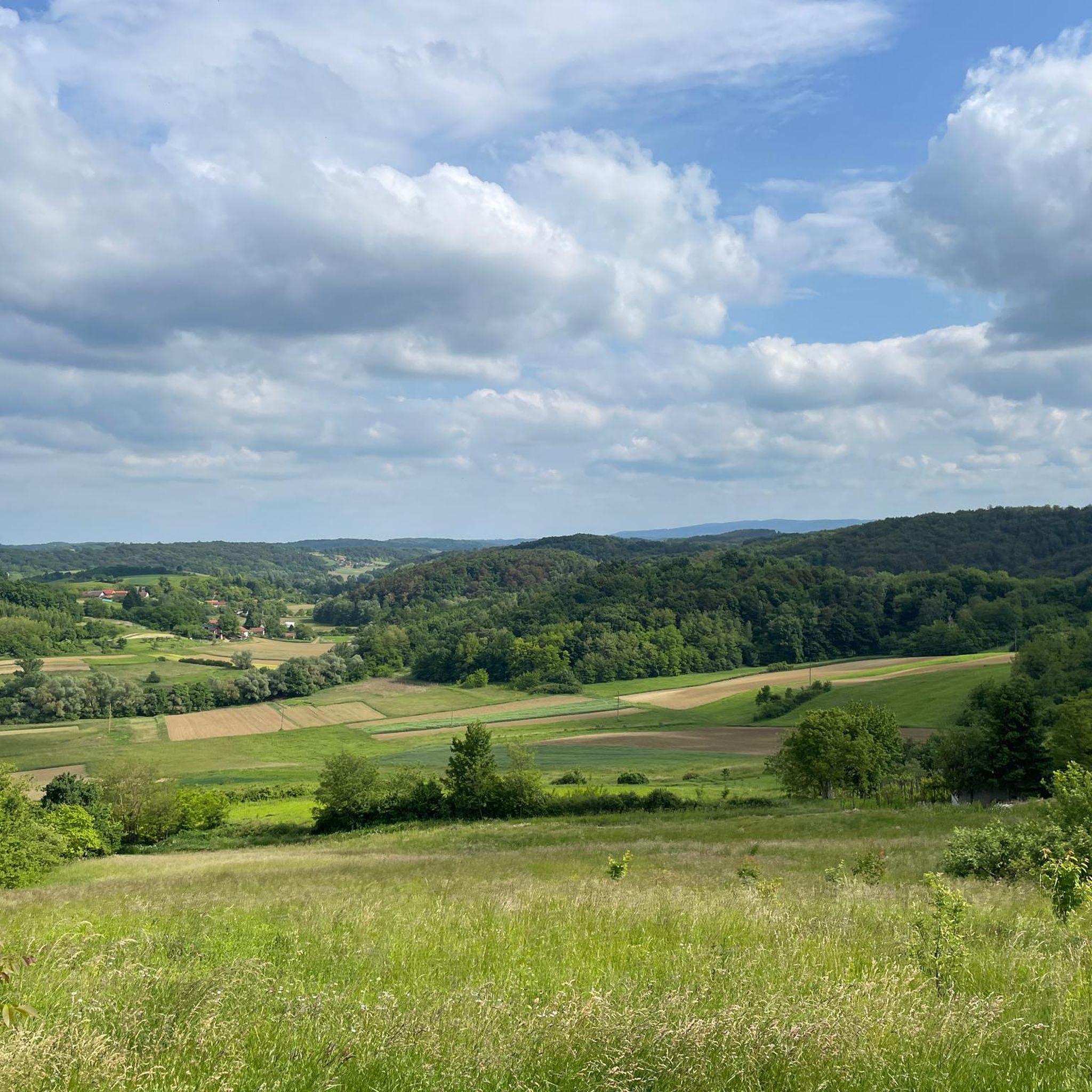
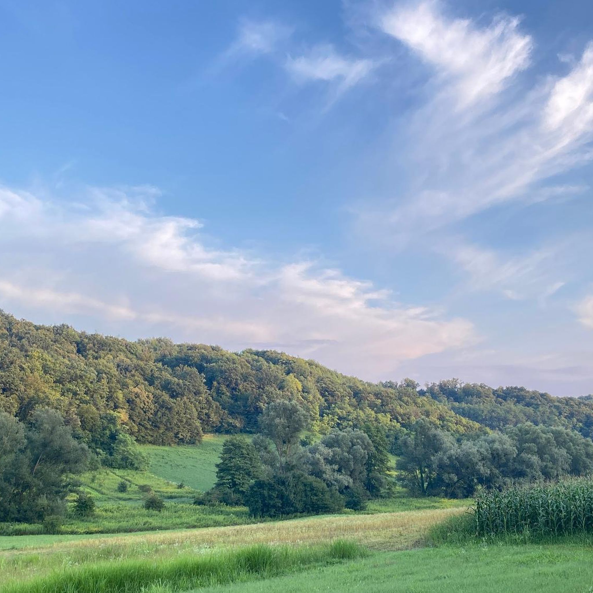
Hiking around Grad Zlatar offers diverse terrain across rolling hills, dense forests, and expansive meadows. The region is situated on the slopes of Ivančica mountain, providing varied elevation gains and panoramic viewpoints. Hikers can explore a network of trails that traverse natural landscapes and lead to historical sites.
Best hiking trails around Grad Zlatar
- The most popular hiking route is Ivanščica Peak (1,060 m) – Pasarićeva Kuća Mountain Hut loop from Ivanščica, a 4.9 miles (8.0 km) trail that…
Last updated: October 8, 2026
4.8
(90)
311
hikers
Moderate hike. Good fitness required. Mostly accessible paths. Sure-footedness required.
4.7
(19)
216
hikers
6.09km
03:25
610m
610m
Moderate hike. Good fitness required. Mostly accessible paths. Sure-footedness required.

4.5
(16)
90
hikers
13.6km
04:58
690m
690m
Moderate hike. Good fitness required. Mostly accessible paths. Sure-footedness required.
4.7
(12)
57
hikers
14.9km
06:11
920m
920m
Hard hike. Very good fitness required. Mostly accessible paths. Sure-footedness required.
4.8
(10)
47
hikers
14.6km
06:41
1,110m
1,110m
Hard hike. Very good fitness required. Mostly accessible paths. Sure-footedness required.
4.5
(8)
43
hikers
Moderate hike. Good fitness required. Mostly accessible paths. Sure-footedness required.
5.0
(3)
11
hikers
8.64km
02:36
290m
290m
Moderate hike. Good fitness required. Easily-accessible paths. Suitable for all skill levels.
4.5
(2)
7
hikers
8.68km
03:22
490m
490m
Moderate hike. Good fitness required. Mostly accessible paths. Sure-footedness required.
5.0
(1)
3
hikers
14.9km
05:59
910m
910m
Hard hike. Very good fitness required. Mostly accessible paths. Sure-footedness required.
Get access to more routes and recommendations from other explorers.
Already have an account?
Our route recommendations are based on thousands of hikes, rides, and runs completed by other people on komoot.
Start today with a free account
Your next adventure awaits.
Tips from the Community

Quiet and shaded forest spot on Ivanšćica. The name “Črne mlake” roughly means “black ponds”, which gives the place a slightly mysterious feel. According to local legend, witches used to gather here.
0
0

There are a few roots, so it's worth taking care of your legs and tendons on the descent.
0
0
Someone made an effort! Praiseworthy!
0
0
Nice place. Good view and feeling of spaciousness.
0
0
Exactly, catfish! There are also stone frogs nearby!
0
0

Small waterfalls in the bottom of mountain Ivanšćica
0
0

The beginning of the newly constructed forest road from Lobor to Črni mlake on Ivanščica.
0
0

The statue of Our Lady of Health is in front of the chapel.
0
0
Frequently Asked Questions
How many hiking trails are available in Grad Zlatar?
Grad Zlatar offers a network of over 20 hiking trails, catering to various skill levels. You'll find a mix of easy, moderate, and difficult routes to explore the region's diverse landscapes.
What kind of terrain can I expect when hiking in Grad Zlatar?
The terrain in Grad Zlatar is quite varied, featuring rolling hills, dense forests, and expansive meadows. Many trails are situated on the slopes of Ivančica mountain, offering both gentle ascents and more challenging climbs with panoramic viewpoints.
Are there any easy or beginner-friendly hikes in Grad Zlatar?
Yes, Grad Zlatar has 5 easy routes suitable for beginners or those looking for a relaxed walk. While specific easy routes aren't detailed in the guide, the region's diverse terrain ensures options for all abilities.
What are some notable landmarks or points of interest along the hiking trails?
Hikers can discover several interesting landmarks. You might encounter historical sites like the Belecgrad Fortress Ruins or enjoy stunning views from the Stričevo Observation Deck. The area also features mountain huts like Pasarićeva Kuća Mountain Hut, which often serve as rest points.
Are there any circular hiking routes in Grad Zlatar?
Yes, many of the trails in Grad Zlatar are circular, allowing you to start and end at the same point. Examples include the moderate Ivanščica Peak (1,060 m) – Pasarićeva Kuća Mountain Hut loop from Ivanščica or the more challenging Pasarićeva Kuća Mountain Hut – Ivanščica Peak (1,060 m) loop from Lobor.
What is the best time of year to go hiking in Grad Zlatar?
Grad Zlatar is known for its beneficial 'air spa' climate, making it suitable for outdoor activities throughout much of the year. Spring and autumn offer pleasant temperatures and vibrant scenery, while summer provides lush green landscapes. Winter hiking is also possible, though conditions may vary.
Are there any hikes that offer particularly good viewpoints?
Absolutely. The region is rich in panoramic viewpoints. Trails leading to Ivančica Peak often provide expansive vistas. For example, the View of Ivančica – St. Spirit loop from Ivanščica offers great views, and the Stričevo Observation Deck is a dedicated spot for taking in the scenery.
What do other hikers say about the trails in Grad Zlatar?
The hiking routes in Grad Zlatar are highly rated by the komoot community, with an average score of 4.8 stars from over 180 reviews. Hikers often praise the diverse terrain, well-marked paths, and the stunning natural beauty of the Ivančica mountain area.
Are there any longer or more difficult routes for experienced hikers?
Yes, for experienced hikers seeking a challenge, Grad Zlatar offers 6 difficult routes. An example is the Oštrcgrad Ruins – Pasarićeva Kuća Mountain Hut loop from Ivanščica, which covers nearly 15 km with significant elevation gain.
Can I find mountain huts or places to rest along the trails?
Yes, the region features mountain huts that can serve as excellent rest stops. The Pasarićeva Kuća Mountain Hut is a prominent example, often included in various loop trails, where you might even find local delicacies.
Are there any trails that pass by lakes or rivers?
While the immediate guide focuses on mountain trails, the broader Zlatar region is known for its lakes, including Uvac Lake, Zlatarsko Lake, and Radoina Lake. These offer additional recreational possibilities, and some local trails may lead to or near these water bodies, providing a different scenic experience.
Most popular attractions around Grad Zlatar

Get inspired with the komoot mobile app


Explore more
Browse the best Hikes in other regions.
