The best MTB trails around Općina Donji Lapac
4.1
(17)
75
riders
6
rides
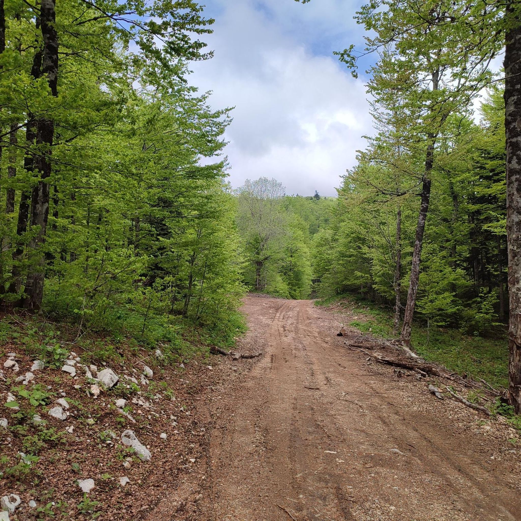
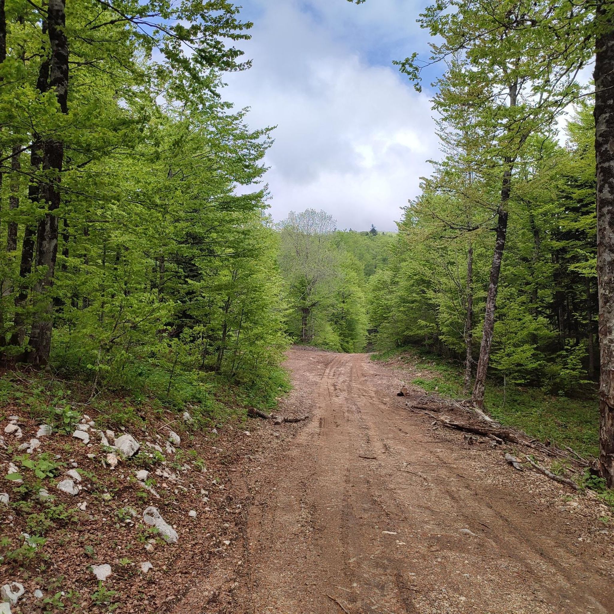
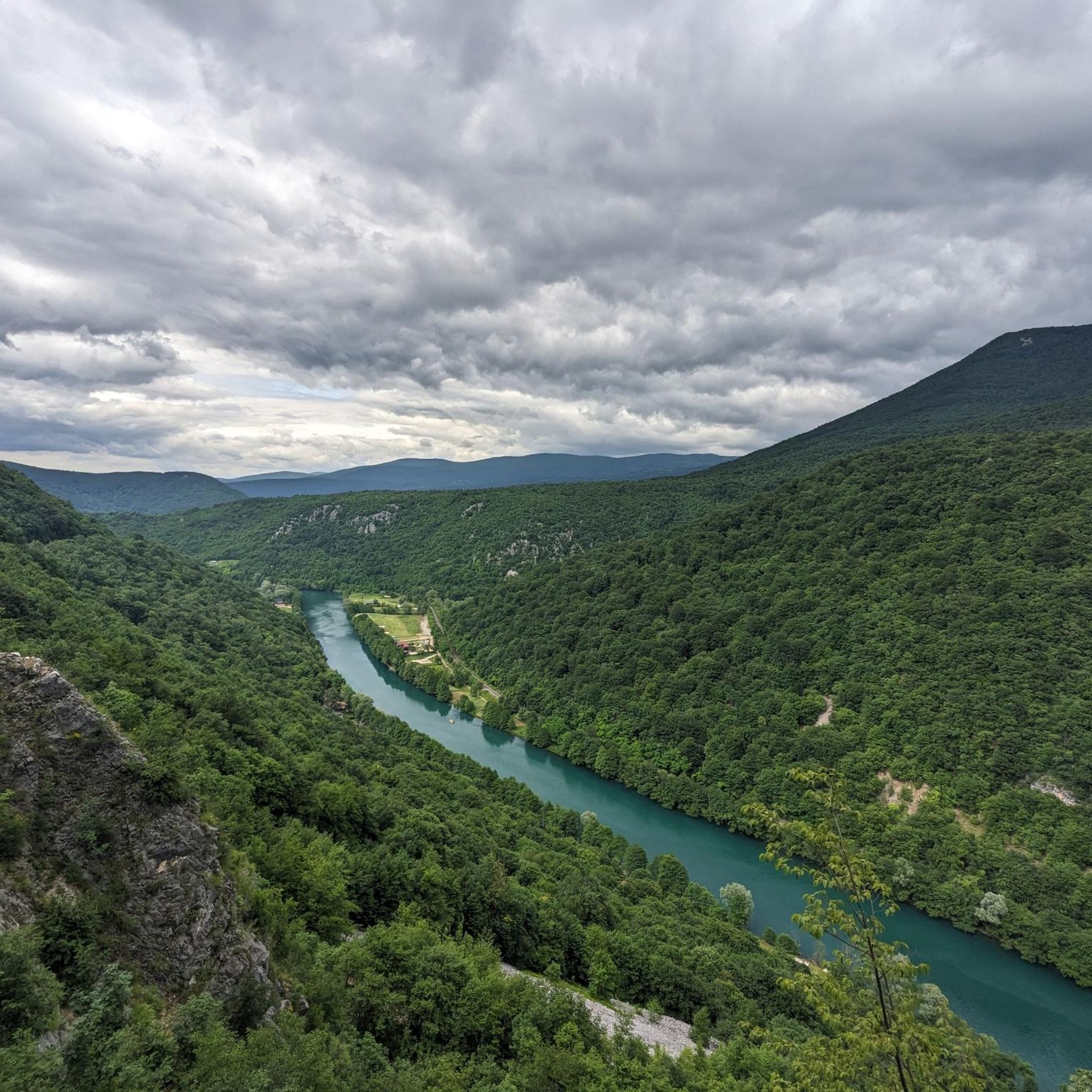
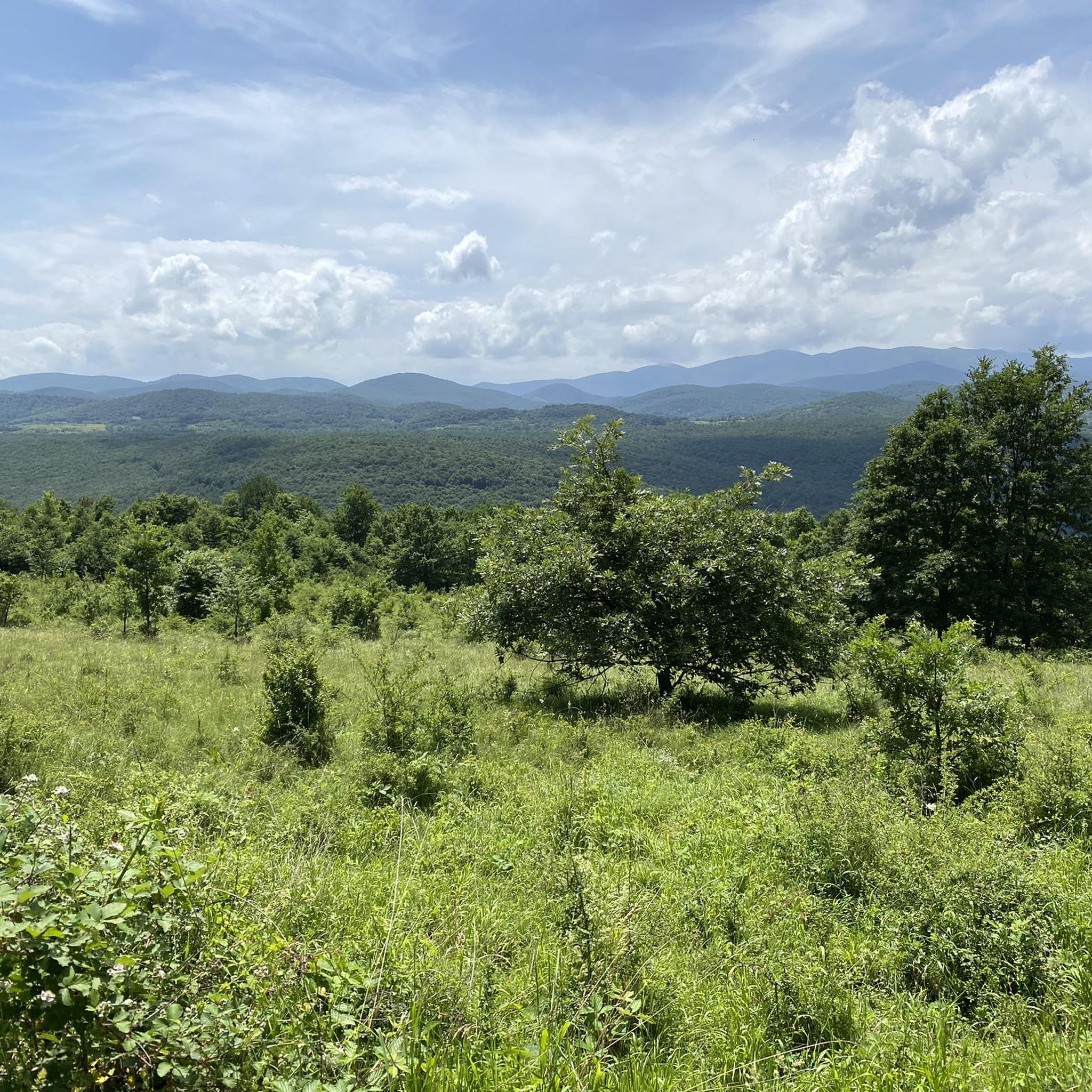
Mountain biking around Općina Donji Lapac offers diverse landscapes within the Dinaric karst limestone area and the Lapac field. The region is characterized by the Plješevica mountain range, including the Kamensko plateau, which features existing forest roads and paths suitable for off-road cycling. The Una River and the nearby Una National Park provide additional terrain, with routes that include gravel roads and notable elevation changes. This area presents a largely untouched natural environment, enhancing the mountain biking experience.
Best mountain bike trails around Općina Donji Lapac
- The most popular mountain bike trail is Ruins of Ostrovica Fortress – Destroyed Bridge over the Una loop from Nacionalni park Una, a 19.4 miles (31.2 km) trail that takes 2 hours 5 minutes to complete. This moderate route explores historical sites and river views.
- Another top favourite among local mountain bikers is Ruins of Ostrovica Fortress – Ruins of Ostrovica Castle loop from Stari grad Ostrovica, an easy 7.0 miles (11.3 km) path. This route offers a shorter ride around the historic castle ruins.
- Local mountain bikers also love the Planinarski dom "Plješevica" loop from Bihać, a 14.4 miles (23.2 km) trail leading through the Plješevica mountain area, often completed in about 1 hour 35 minutes.
- Mountain biking around Općina Donji Lapac is defined by forest roads on the Kamensko plateau, gravel paths along the Una River, and routes with varied elevation changes. The network offers options for easy rides and more challenging moderate trails.
- The routes in Općina Donji Lapac are highly rated by the komoot community with an average score of 4.6 stars from over 10 reviews. More than 60 mountain bikers have used komoot to explore Općina Donji Lapac's varied terrain.
Last updated: October 5, 2026
4.7
(11)
42
riders
Moderate mountain bike ride. Good fitness required. Suitable for all skill levels.
3.0
(1)
13
riders
11.3km
00:58
220m
220m
Easy mountain bike ride. Great for any fitness level. Suitable for all skill levels.

5.0
(3)
13
riders
23.2km
01:35
380m
380m
Moderate mountain bike ride. Good fitness required. Suitable for all skill levels.
5.0
(1)
4
riders
25.6km
01:52
450m
450m
Moderate mountain bike ride. Good fitness required. Advanced riding skills necessary.
3.0
(1)
3
riders
29.0km
02:01
280m
280m
Moderate mountain bike ride. Good fitness required. Advanced riding skills necessary.
Our route recommendations are based on thousands of hikes, rides, and runs completed by other people on komoot.
Start today with a free account
Your next adventure awaits.
Tips from the Community

At this location in Martin Brod, as seen in most photos, is the so-called 'Small Waterfall'. It is located on one of the tributaries of the Una River, on the left side of the river course flowing between various village houses and catering establishments. The Unac is a tributary of the Una and flows into the Una about a kilometer downstream.
2
0
The old town of Ostrovica was built on a hill of the same name, on the left bank of the Una River, above Kulen Vakuf. Before coming under Ottoman rule, it was in the hands of the Frankopans, Juraj Mikulčić, and Ivan Keglević. It came under Ottoman rule in 1523 and only gained significance after the Peace of Karlovac in 1699. From 1523 to 1878, the Turks kept a garrison in Ostrovica. The Turks significantly expanded it, and it then acquired its present form. The town is essentially an elongated rectangle with strong walls up to 10 m high. In 1577, the garrison numbered 60 horsemen and 150 infantrymen, and in 1834, only 20 men. The Imperial forces attacked this town several times (1560, 1698, 1737, 1789, and 1834). In terms of size, Ostrovica was a small town, but as it was located close to both the Venetian and Austrian borders, and also had a favorable defensive position, it was given great importance. Therefore, work was constantly carried out on its expansion and strengthening. The town is surrounded by strong ramparts 10 meters high, with a length of 117 and a width of 83 meters. The main gate was located in front of the ramparts. The fortress consisted of four towers and two bastions. The main entrance is from the south, and the secondary entrance from the north. The commander of the garrison held the title of dizdar, and was officially titled bašaga. From 1699, if not earlier, a captain resided in Ostrovica, who around 1791 moved his seat to Prkosi. Among the dizdars of Ostrovica, the following are mentioned: Nesuhaga (1637), Muhamedaga (1700), and Alijaga (1783). The town also became the seat of the Ostrovica Captaincy, which was founded in the early years of the 18th century and extended on both sides of the upper course of the Una River. It included Orašac, Havala, Kulen Vakuf, and the palankas of Čovka and Donji Lapac. Its captains were members of the well-known Bosnian family Kulenović. Ostrovica, Kulen Vakuf, and Orašac had 989 men in the war of 1714–1718, and after the peace treaty, 561 men. The very next year, 1720, their number increased by 428 men. The military garrison remained in Ostrovica until 1878. https://kulen-vakuf.com/stari-gradovi.html
4
1
The old town of Ostrovica was built on the hill of the same name, on the left bank of the Una River, above Kulen Vakuf. Before coming under Ottoman rule, it was in the hands of the Frankopans, Juraj Mikulčić, and Ivan Keglević. It came under Ottoman rule in 1523 and gained significance only after the Peace of Karlovci in 1699. From 1523 to 1878, the Turks kept a garrison in Ostrovica. The Turks significantly expanded it, and it then acquired its present form. The town is essentially an elongated rectangle with strong walls up to 10 m high. In 1577, the garrison numbered 60 horsemen and 150 infantrymen, and in 1834, only 20 men. Imperial troops attacked this town several times (1560, 1698, 1737, 1789, and 1834). In size, Ostrovica was a small town, but as it was located near both the Venetian and Austrian borders, and also had a favorable defensive position, it was given great importance. For this reason, work was constantly carried out on its expansion and strengthening. The town is surrounded by strong ramparts 10 meters high, with a length of 117 and a width of 83 meters. The main gate was located in front of the ramparts. The fortress consisted of four towers and two bastions. The main entrance is from the south, and the secondary from the north. The garrison commander held the title of dizdar, and was officially titled bašaga. From 1699, if not even earlier, a captain resided in Ostrovica, who around 1791 moved his seat to Prkos. Among the dizdars of Ostrovica, the following are mentioned: Nesuhaga (1637), Muhamedaga (1700), and Alijaga (1783). The town also became the seat of the Ostrovica Captaincy, which was founded in the early years of the 18th century and extended on both sides of the upper course of the Una. It included Orašac, Havala, Kulen Vakuf, and the palankas of Čovka and Donji Lapac. Its captains were members of the well-known Bosnian family Kulenović. Ostrovica, Kulen Vakuf, and Orašac had 989 men in the war of 1714–1718, and after the peace treaty, 561 men. The very next year, 1720, their number increased by 428 men. The military garrison remained in Ostrovica until 1878. Source: https://kulen-vakuf.com/stari-gradovi.html
4
0
Jama ‘Bezdan’ je masovna grobnica na planini Hrgar, jugoistočno od Bihaća. Radi se o prirodnoj vertikalnoj pećini, širokoj dva do tri metra i dubokoj 85 metara. U septembru i oktobru 1997. godine, među slojevima smeća u jami, otkriveni su posmrtni ostaci 83 osobe, od kojih je identifikovano 65. Bron: https://massgravesmap.balkaninsight.com/bezdan-pit/?lang=bs
4
0
Šehidsko obilježje su podigli mještani Ostrovice kao spomen “ubijenim sela Ostrovice od Srbo-četničkog agresdora 1992. godine i u toku rata”. Na mermernoj ploči uklesano je ukupno 15 imena: 10 Ostrovčana ubijenih i bačenih u jamu ‘Bezdan’ na planinin Hrgar u ljeto 1992. godine, 4 mještana ubijena u toku rata i jedne mještanke, civilne žrtva rata.
4
0
Unac is a river in the western part of Bosnia and Herzegovina, a right tributary of the Una River.
4
1
Kulen Vakuf je u osmanskim dokumentima iz 18. veka zvan Džisr-i-kebir, što znači “Veliki most.” Naselje je tako nazvano zbog velikog mosta i važnog prelaza preko Une.
4
1
Vakuf means a religious or charitable foundation/property in the Islamic world; in place names, it often means that the area was linked to such a foundation. And Kulen Vakuf refers to a vakuf that was connected to the Kulenović family or Mahmut-paša Kulenović.
4
1
Frequently Asked Questions
What types of mountain bike trails can I expect around Općina Donji Lapac?
The region offers a mix of terrains, primarily featuring existing forest roads and paths on the Kamensko plateau within the Plješevica mountain range. You'll also find gravel paths along the Una River and routes with varied elevation changes, providing options for both easy rides and more challenging moderate trails.
Are there any easy mountain bike trails suitable for beginners or families?
Yes, there is an easy route perfect for beginners or families. The Ruins of Ostrovica Fortress – Ruins of Ostrovica Castle loop from Stari grad Ostrovica is an easy 11.3 km path that offers a shorter ride around historic castle ruins.
What are some longer mountain bike routes for more experienced riders?
For those seeking a longer challenge, the View of the River loop from Bihać is a moderate 67.4 km trail. Another substantial option is the Ruins of Ostrovica Fortress – Destroyed Bridge over the Una loop from Nacionalni park Una, which covers 31.2 km and explores historical sites and river views.
Can I find mountain bike trails that are circular or loop routes?
Yes, many of the mountain bike trails in the area are designed as loops. Examples include the Planinarski dom "Plješevica" loop from Bihać, which takes you through the Plješevica mountain area, and the Sokolac Castle loop from Bihać.
What natural attractions can I see while mountain biking in the region?
The region is rich in natural beauty. You can bike towards the magnificent Štrbački Buk Waterfall on the Una River, though direct cycling on the wooden walkways to the falls is not permitted. The wider Una National Park offers pristine natural scenery and clean air, enhancing any ride.
Are there any historical landmarks or points of interest along the mountain bike routes?
Yes, several routes incorporate historical sites. For instance, the Ruins of Ostrovica Fortress – Ruins of Ostrovica Castle loop from Stari grad Ostrovica takes you past historic castle ruins. You can also find the Small Castle Ruins (Kleine Burg) within Una National Park.
What is the best time of year for mountain biking around Općina Donji Lapac?
The region's untouched natural environment and clean air make it enjoyable for mountain biking during most of the year. Spring and autumn generally offer pleasant temperatures and vibrant scenery. While winter mountain biking is possible, trail conditions may vary due to snow or ice, especially at higher elevations on Plješevica Mountain.
What is the difficulty level of mountain bike trails in Općina Donji Lapac?
The trails around Općina Donji Lapac range from easy to moderate. There is 1 easy route and 6 moderate routes, making it accessible for various skill levels, though no technically difficult trails are listed in this guide.
What do other mountain bikers say about the trails in Općina Donji Lapac?
The routes in Općina Donji Lapac are highly rated by the komoot community, with an average score of 4.6 stars from over 10 reviews. More than 60 mountain bikers have used komoot to explore the varied terrain, often praising the diverse landscapes and the untouched natural environment.
Is the area suitable for wildlife spotting while mountain biking?
Yes, the area around Donji Lapac is known for its largely untouched natural environment, boasting rich flora and fauna. This pristine setting provides an excellent opportunity to observe local wildlife while enjoying your ride, particularly in less frequented areas and within the Una National Park.
Are there any specific considerations for mountain biking near the Una River or Una National Park?
When biking near the Una River and within Una National Park, you'll encounter beautiful scenery and clean air. While cycling is encouraged on designated gravel roads and trails, be aware that direct cycling on wooden walkways, such as those leading to Štrbački Buk Waterfall, is prohibited to protect the natural environment and ensure visitor safety.
Most popular attractions around Općina Donji Lapac

Get inspired with the komoot mobile app


Explore more
Browse the best MTB trails in other regions.
