The best MTB trails around Gilgenberg am Weilhart
4.6
(780)
2,819
riders
192
rides
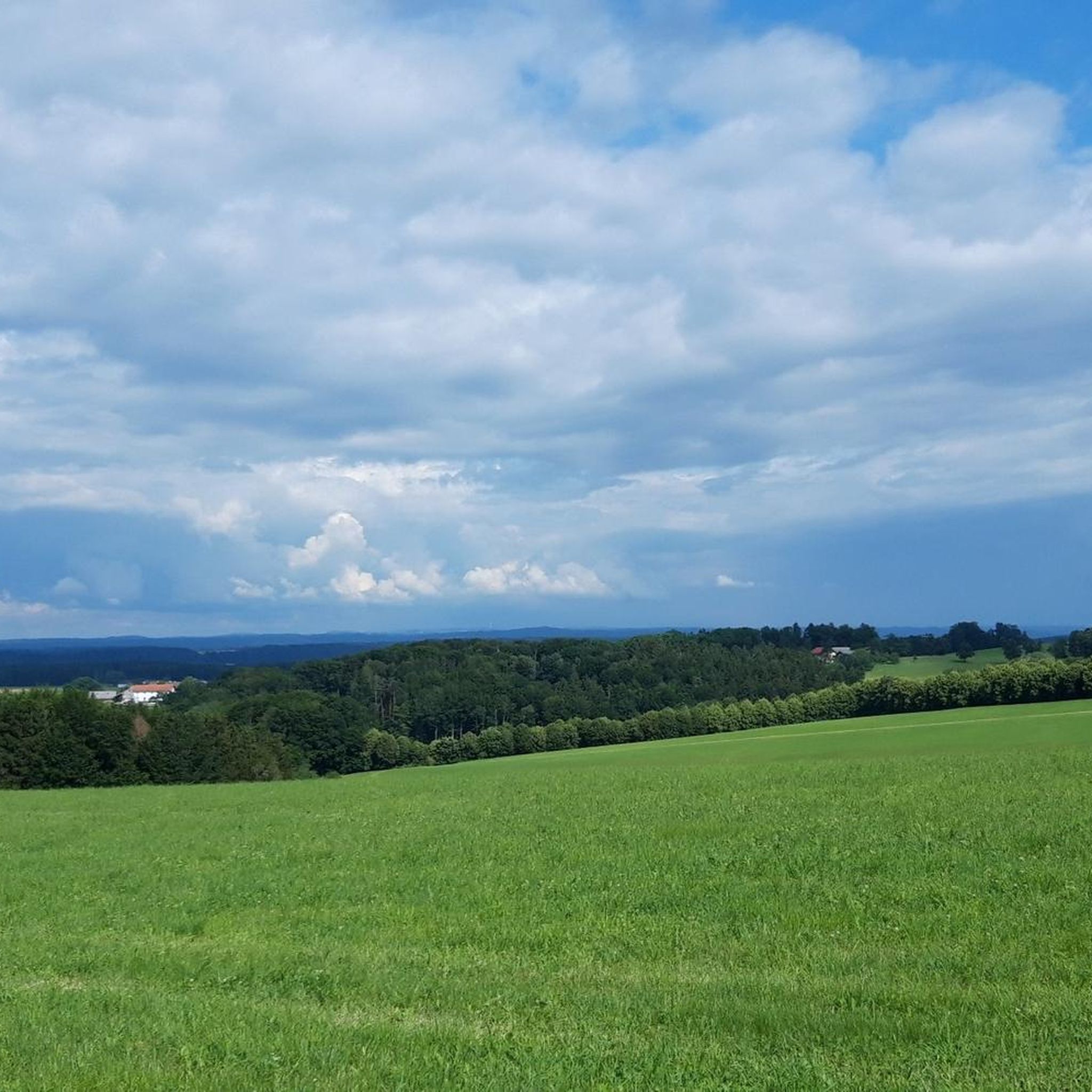
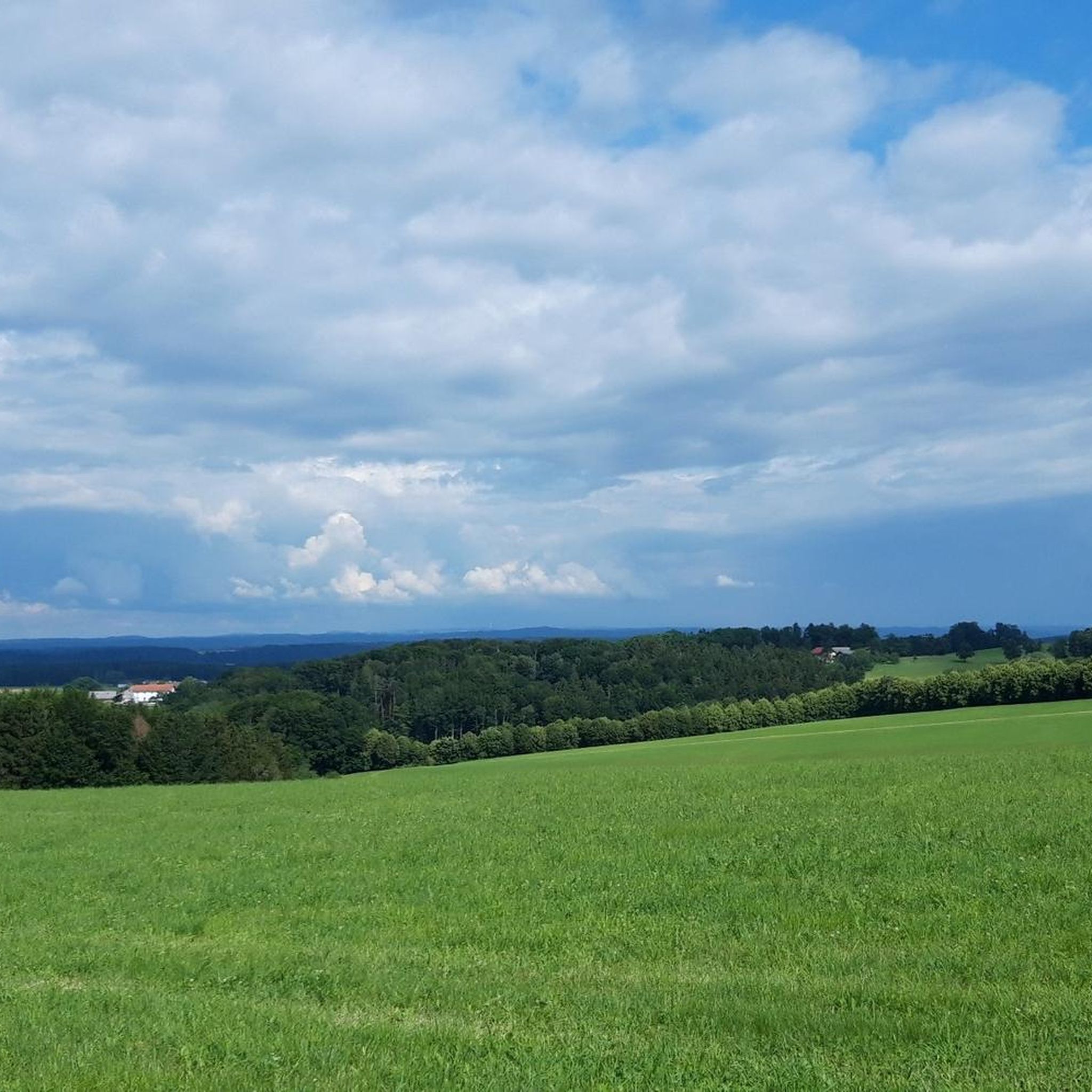
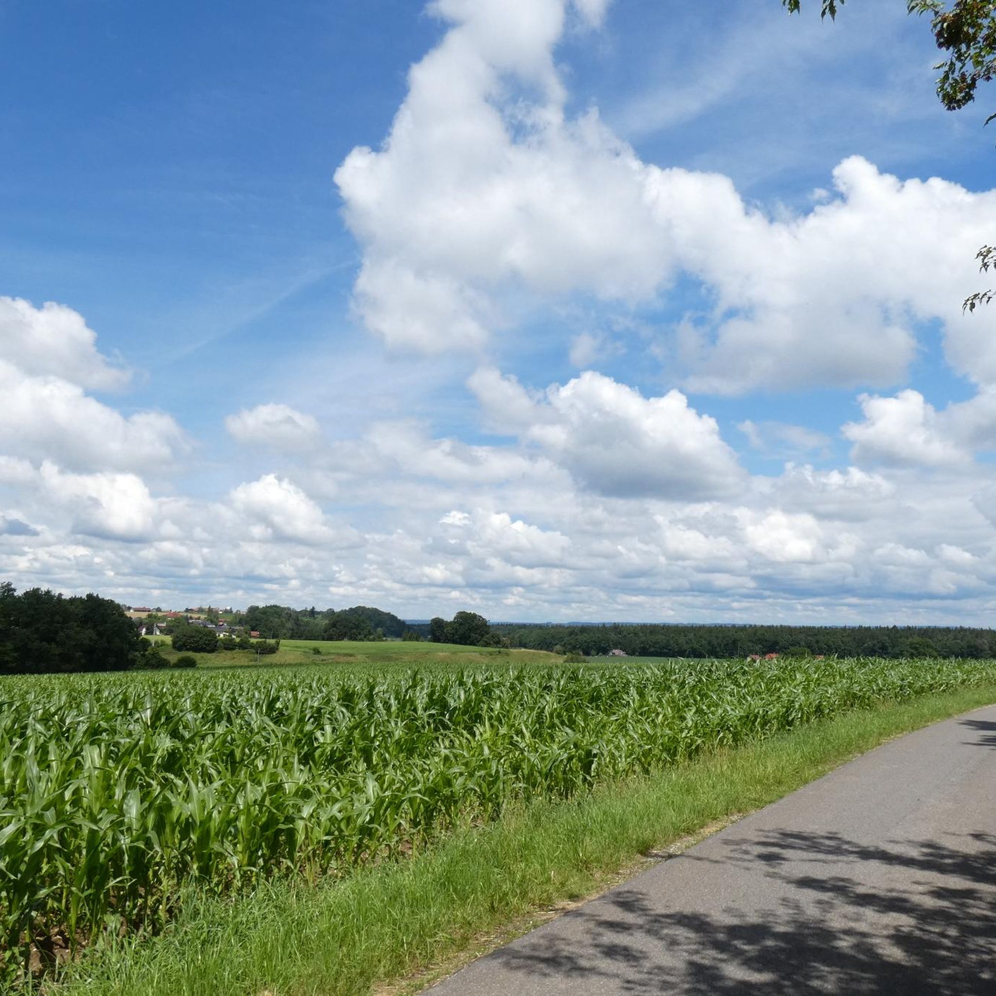
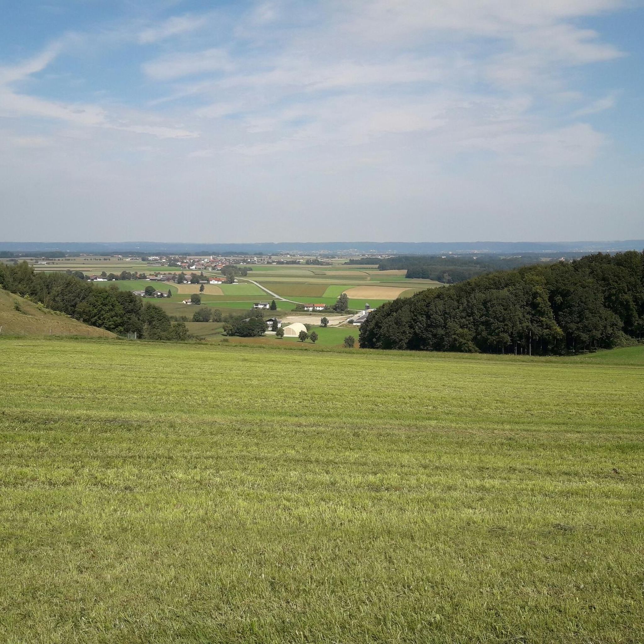
Mountain biking around Gilgenberg am Weilhart offers diverse landscapes with rolling hills, lush forests, and serene lakes. The region provides a variety of terrain suitable for both traditional mountain bikes and e-bikes, featuring both paved and unpaved sections. Cyclists can expect routes with varied surfaces, including sand roads and some steep climbs. This area in Upper Austria is characterized by its natural environment, providing a scenic backdrop for outdoor activities.
Best mountain bike trails around Gilgenberg am Weilhart
- The most…
Last updated: October 4, 2026
4.5
(2)
22
riders
Moderate mountain bike ride. Good fitness required. Suitable for all skill levels.
5.0
(1)
11
riders
31.8km
02:05
350m
340m
Moderate mountain bike ride. Good fitness required. Advanced riding skills necessary.

4.7
(3)
6
riders
20.1km
01:11
160m
160m
Easy mountain bike ride. Great for any fitness level. Suitable for all skill levels.
5.0
(2)
4
riders
70.6km
04:48
710m
710m
Moderate mountain bike ride. Good fitness required. Advanced riding skills necessary.
5.0
(1)
7
riders
Hard mountain bike ride. Good fitness required. Advanced riding skills necessary. Some portions of the route may require you to push your bike.
Get access to more routes and recommendations from other explorers.
Already have an account?
Our route recommendations are based on thousands of hikes, rides, and runs completed by other people on komoot.
Start today with a free account
Your next adventure awaits.
Tips from the Community


Ikarus precisely marks the border between Germany 🇩🇪 and Austria 🇦🇹
0
0

Inn - the border between Germany and Austria
0
0
Beautiful hiking area - worthwhile in every season
0
0


Cool section to drive
0
0
Turn right towards Maria Schmolln and cycle through the terrain over sticks, stones and roots
0
0

A very beautiful river
2
0
Frequently Asked Questions
How many mountain bike trails are available in Gilgenberg am Weilhart?
There are over 210 mountain bike trails around Gilgenberg am Weilhart, offering a wide range of options for different skill levels and preferences. The komoot community has explored more than 2,900 mountain bike tours in the region.
What kind of terrain can I expect on mountain bike trails in Gilgenberg am Weilhart?
The terrain in Gilgenberg am Weilhart is diverse, featuring rolling hills, lush forests, and serene lakes. You'll encounter a mix of surfaces, including both paved and unpaved sections, with some routes incorporating sand roads and steep climbs. This variety makes the region suitable for both traditional mountain bikes and e-bikes.
Are there mountain bike trails suitable for beginners or families in Gilgenberg am Weilhart?
Yes, Gilgenberg am Weilhart offers numerous trails suitable for beginners and families. Out of the over 210 routes, 78 are classified as easy. An example of an easy route is the Icarus Sculpture on the Bridge loop from Hochburg, which is 12.5 miles (20.1 km) long and takes about 1 hour 11 minutes to complete.
What are some scenic highlights or landmarks I can see while mountain biking?
Many routes offer beautiful views and pass by interesting landmarks. For example, the View of Burghausen Castle – Icarus Sculpture on the Bridge loop from Gilgenberg am Weilhart provides views of Burghausen Castle and features the Icarus Sculpture. Other notable attractions in the region include the Burghausen Town Square and the Late-Gothic Parish Church in Gilgenberg.
Are there any circular mountain bike routes available?
Yes, many mountain bike routes in Gilgenberg am Weilhart are circular, allowing you to start and end at the same point. Popular loop trails include the View of Burghausen Castle – Icarus Sculpture on the Bridge loop from Gilgenberg am Weilhart and the Heratinger Lake (Ibmer Lake) – Ibmer See loop from Eggelsberg.
Are there options for more challenging mountain bike rides?
Yes, for experienced mountain bikers seeking a challenge, there are 16 difficult routes available. These trails often feature steeper climbs and more technical sections. An example of a challenging route is the Minigolf Trail (Rottal-Inn) – Great trails everywhere loop from Schwand im Innkreis, which covers 37.5 km with significant elevation changes.
What is the best time of year for mountain biking in Gilgenberg am Weilhart?
Gilgenberg am Weilhart's diverse landscape with rolling hills and forests makes it enjoyable for mountain biking across multiple seasons. The lush greenery of spring and summer offers shaded routes, while autumn provides picturesque scenery with changing foliage. Always check local weather conditions before heading out.
Are there any lakes or water features along the mountain bike routes?
Yes, the region is dotted with serene lakes that can be incorporated into your rides. The Heratinger Lake (Ibmer Lake) – Ibmer See loop from Eggelsberg explores the area around Heratinger Lake. The Holzösterer See is also mentioned as an inviting spot for a swimming stop, and other lakes like Waldsee Simbach am Inn and Wöhrsee Lido beneath Burghausen Castle are nearby.
What do other mountain bikers say about the trails in Gilgenberg am Weilhart?
The mountain bike routes in Gilgenberg am Weilhart are highly rated by the komoot community, with an average score of 4.6 stars from over 700 reviews. Users frequently praise the varied terrain, the scenic beauty of the forests and lakes, and the well-maintained paths that cater to different skill levels.
Are there any long-distance mountain bike routes for extended rides?
Yes, for those looking for longer rides, there are routes that cover significant distances. The Forest and Meadow Trails – Forest Trail loop from Eggelsberg is a substantial 70.6 km (43.9 miles) route, typically taking around 4 hours 48 minutes to complete, offering an extended exploration of the region's natural beauty.
Can I find places to eat or drink near the trails?
While specific cafes or pubs directly on every trail are not detailed, the region's towns and villages, such as Gilgenberg am Weilhart itself and nearby Eggelsberg, offer amenities where you can find refreshments and meals. Many routes pass through or near these settlements, providing opportunities for breaks.
Are there historical sites or cultural attractions to explore in the area?
Beyond the natural beauty, Gilgenberg am Weilhart boasts historical and cultural attractions. The Late-Gothic Parish Church is a prominent landmark. You can also find a wooden sculpture of the Mount of Olives (circa 1490) and an ossuary (around 1410). The nearby town of Burghausen, visible from some trails, features its impressive Burghausen Castle and the historic In den Grüben (Street of Fame).
Most popular routes around Gilgenberg am Weilhart
Most popular attractions around Gilgenberg am Weilhart

Get inspired with the komoot mobile app


Explore more
Browse the best MTB trails in other regions.
