The best road cycling routes around Petrijevci
2.3
(4)
54
riders
3
rides
Road cycling routes around Petrijevci are characterized by flat terrain and minimal elevation changes, making them suitable for various fitness levels. The region's landscape primarily consists of open plains and agricultural fields, offering unobstructed views. Road cycling here often involves routes that connect small towns and villages, with paths that follow local roads. The area provides opportunities for longer rides across a generally level topography.
Best road cycling routes around Petrijevci
- The most popular road cycling route is Roadbike loop…
Last updated: November 1, 2026
1.7
(3)
36
riders
Easy road ride. Mostly well-paved surfaces and easy to ride.
10
riders
55.7km
02:07
80m
80m
Moderate road ride. Good fitness required. Mostly well-paved surfaces and easy to ride.

3.0
(1)
8
riders
39.6km
01:31
70m
70m
Easy road ride. Mostly well-paved surfaces and easy to ride.
Our route recommendations are based on thousands of hikes, rides, and runs completed by other people on komoot.

Tips from the Community

The ascent and descent with an electric bike at the ferry is actually not doable. Unless you are very strong and can carry the bike. The stairs are very steep. You can detour over one of the bridges.
0
0

With more than 40 km of cycle paths, Osijek is the cycling city of Croatia.
5
1

The symbol of the city of Osijek that connects the center of the city with the other side where the ZOO, promenade and bike paths are located. The bridge is intended for pedestrians and cyclists.
3
0

The bridge is suitable for pedestrians and cyclists. It connects the city center with the zoo
1
0
The pedestrian bridge in Osijek, Croatia spans the Drava River. It is one of the most striking symbols of Osijek. Note that there are stairs at both the beginning and the end, there is no fence and no sign, get off in time.
9
0

Interesting military architecture overlooking the Drava.
0
0

The pedestrian bridge is a suspension bridge over the Drava in Osijek. The pedestrian bridge over the Drava River in Osijek connects the city center with the recreation center on the left bank of the Drava. It is one of the most famous and beautiful symbols of the city. Also, it has a unique appearance in the whole of Croatia.
0
0

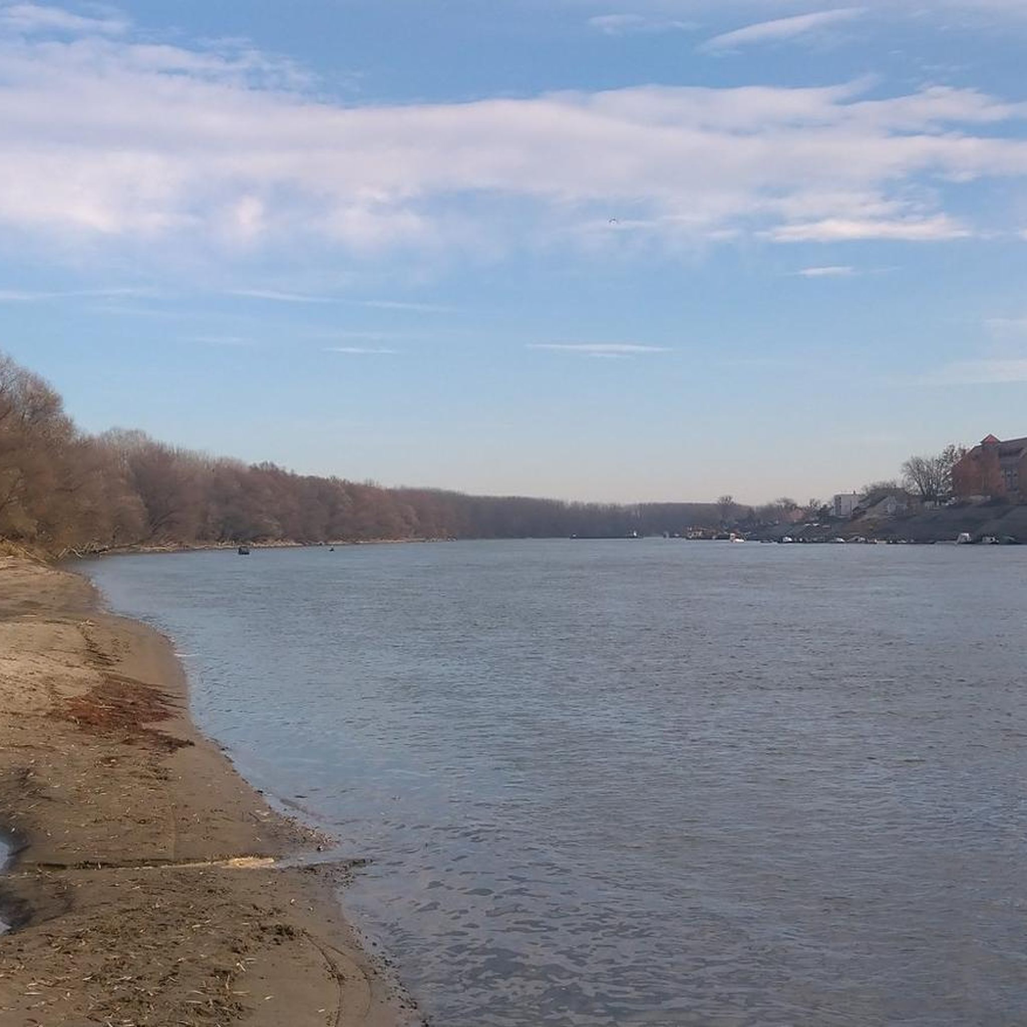
The Drava (less commonly Drave; Italian, Slovenian and Croatian Drava, Hungarian Dráva) is a tributary of the Danube that rises in the Italian South Tyrol, then flows through East Tyrol and Carinthia (Austria) as well as through Lower Styria (Slovenia), Croatia and Hungary. With a length of 749 km and an average discharge of 670 m³/s, it is the fourth longest tributary of the Danube after the Tisza, Prut and Sava.
0
0
Frequently Asked Questions
How many road cycling routes are available around Petrijevci?
There are 3 dedicated road cycling routes around Petrijevci, offering various distances and difficulties for exploration.
Are there easy road cycling routes suitable for beginners in Petrijevci?
Yes, Petrijevci offers easy road cycling routes suitable for beginners. For instance, the Roadbike loop from Višnjevac is a 14.9-mile (24.0 km) trail with minimal elevation, perfect for a relaxed ride. Another easy option is the Roadbike loop from Vodovod, covering 23.3 miles (37.4 km) through agricultural areas.
What are the typical lengths of road cycling trails in Petrijevci?
Road cycling trails in Petrijevci vary in length, generally ranging from approximately 15 miles (24 km) to over 35 miles (57 km). This allows cyclists to choose routes that fit their desired duration and fitness level.
Are there any advanced road cycling routes for experienced riders?
While the region is primarily flat, more experienced riders can challenge themselves with longer routes. The Fićo and Tank Monument loop from Osijek is a moderate 35.4-mile (57.1 km) path that traverses flat plains, connecting points of interest with gentle gradients, offering a longer endurance ride.
Are there circular road cycling routes available in Petrijevci?
Yes, all the featured road cycling routes around Petrijevci are designed as loops, allowing you to start and finish at the same point. Examples include the Roadbike loop from Višnjevac and the Roadbike loop from Vodovod.
What is the best time of year for road biking in Petrijevci?
The flat terrain of Petrijevci makes it suitable for road cycling for much of the year. Spring and autumn generally offer the most pleasant temperatures, while summer can be warm but still enjoyable, especially during morning or late afternoon rides. Winters are typically mild, but conditions can vary.
What kind of scenery can I expect on road cycling routes around Petrijevci?
Road cycling routes around Petrijevci are characterized by open plains and agricultural fields, offering unobstructed views of the rural landscape. You'll often find paths connecting small towns and villages, providing a glimpse into local life.
What do other road cyclists enjoy most about road cycling in Petrijevci?
The area is highly rated by the komoot community, with an average score of 2.3 stars from 4 reviews. Cyclists often praise the flat terrain and minimal elevation changes, which make for relaxed and accessible rides across open landscapes.
Are there family-friendly road bike routes in Petrijevci?
Given the flat terrain and minimal elevation, many of the routes are suitable for families. The Roadbike loop from Višnjevac, for example, is an easy 14.9-mile (24.0 km) route that can be a good option for families looking for a gentle ride.
Are there any cafes or places to stop along the road bike trails in Petrijevci?
While specific cafes are not highlighted on every route, the routes often connect small towns and villages. These settlements typically offer opportunities to find local shops or cafes for refreshments and breaks during your ride.
Where can I find starting points for road bike trails near Petrijevci?
The routes typically start from accessible points within or near local settlements. For example, the Roadbike loop from Višnjevac begins in Višnjevac, and the Fićo and Tank Monument loop from Osijek starts from Osijek, both providing convenient access.
Most popular routes around Petrijevci

Get inspired with the komoot mobile app


Explore more
Browse the best Road cycling routes in other regions.
