The 14 Most Amazing Peaks around Westport-Belmullet Municipal District
Best mountain peaks around Westport-Belmullet Municipal District are found in County Mayo, Ireland, offering diverse landscapes and experiences. This region features prominent peaks, including the highest in County Mayo, alongside coastal mountains and remote wilderness areas. The mountains are characterized by glacial formations, significant cultural sites, and expansive views of the Atlantic Ocean and surrounding islands. The area provides opportunities for exploring natural monuments and historical locations.
Best mountain peaks around Westport-Belmullet Municipal District
- The most popular mountain peaks is Croagh Patrick summit, a summit that is a well-worn pilgrim path. The summit often hangs in the clouds, offering impressive views when clear.
- Another must-see spot is Croaghaun, a summit with the highest sea cliffs in Ireland. From its summit, visitors can overlook Keem Bay.
- Visitors also love Mweelrea, a summit offering grand views out over Killary Harbour. This tranquil mountain summit provides extensive panoramic views.
- Westport-Belmullet Municipal District is known for its highest peaks, coastal mountains, and remote wilderness summits. The region offers a variety of mountain peaks to see and explore, from culturally significant sites to dramatic sea cliffs.
- The mountain peaks around Westport-Belmullet Municipal District are appreciated by the komoot community, with 183 upvotes and 127 photos shared by visitors.
Last updated: July 29, 2026
Croagh Patrick summit
Highlight • Summit
Translated by Google •
Tip by

Croaghaun
Highlight • Summit
Tip by

Sign up now to discover places like this
Get recommendations on the best single tracks, peaks, & plenty of other exciting outdoor places.
Sign up for free
Slievemore Summit and Deserted Village
Highlight • Summit
Tip by
Trail to Croagh Patrick
Highlight • Climb
Tip by
Achill Head
Highlight • Viewpoint
Tip by
Leacht Benain (1st Station)
Highlight • Natural Monument
Translated by Google •
Tip by
Mweelrea
Highlight • Summit
Tip by
Rocky Outcrop at the Summit, Wild Nephin National Park
Highlight • Summit
Translated by Google •
Tip by

Knockmore summit
Highlight • Summit
Tip by
Knockmore / An Cnoc Mór
Highlight • Summit
Translated by Google •
Tip by

Sign up for free to discover even more peaks around Westport-Belmullet Municipal District.
Sign up for free
Already have an account?
Start today with a free account
Your next adventure awaits.
Login or Signup
Popular around Westport-Belmullet Municipal District
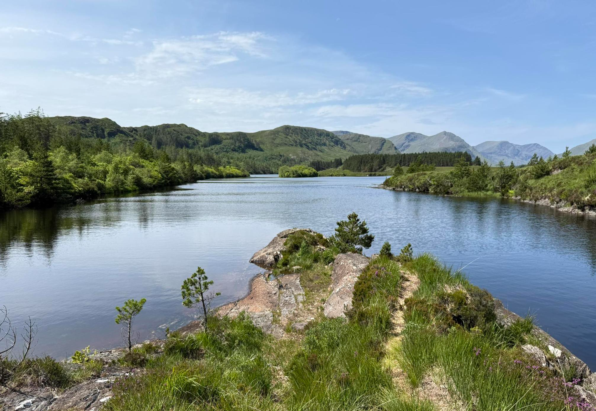
Western Way – Rugged mountains, remote hills and scenic splendour
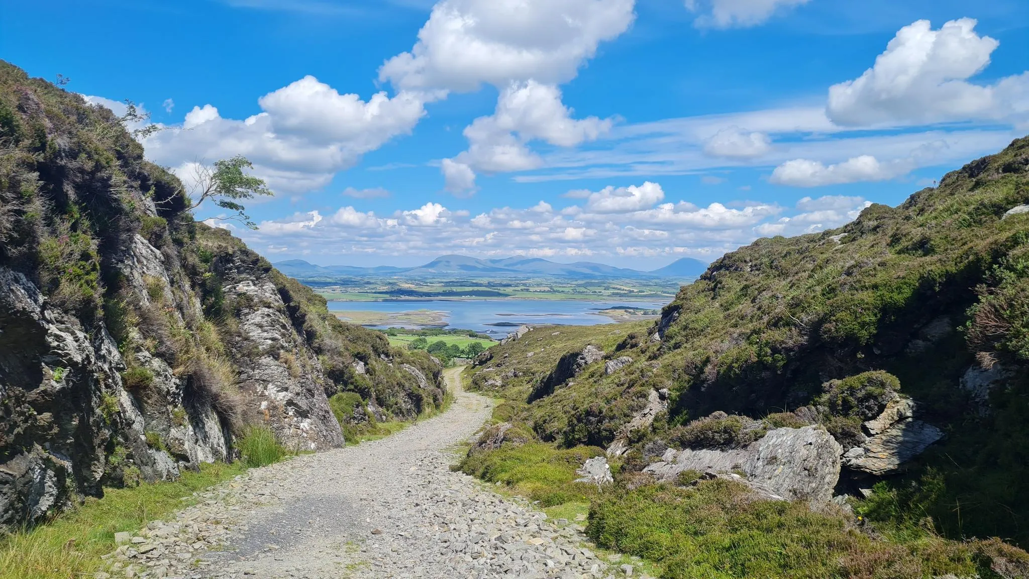
Croagh Patrick Heritage Trail – hike to Ireland’s holiest mountain
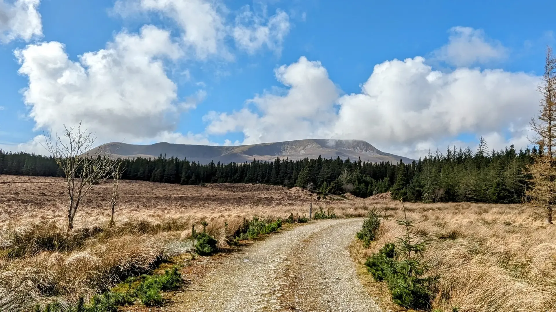
Rugged Rides of Ireland — Wild Nephin Way
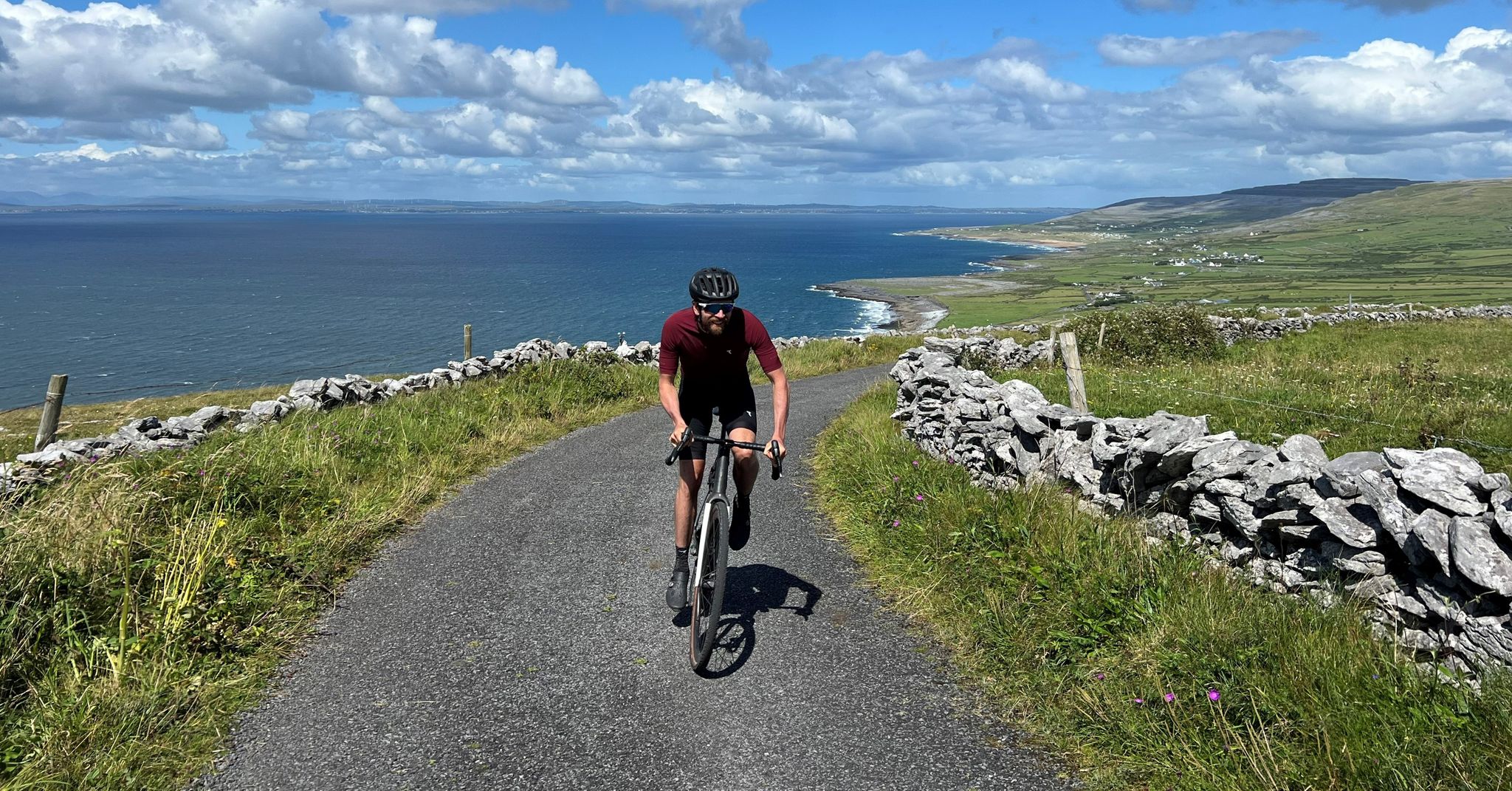
Road cycling on Ireland's west coast – four Tours with Jonas Deichmann
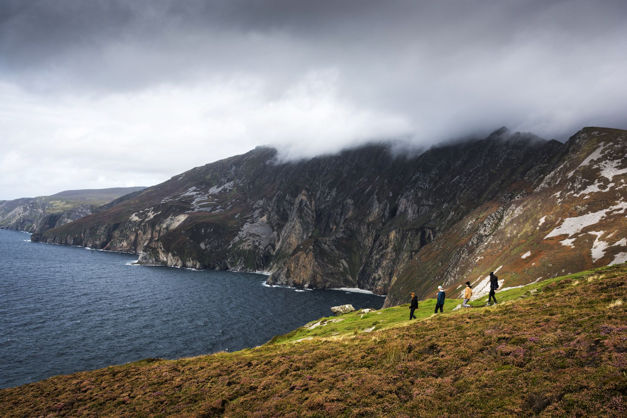
Hike Ireland's coast: cliffs, waves and wonderful wide beaches
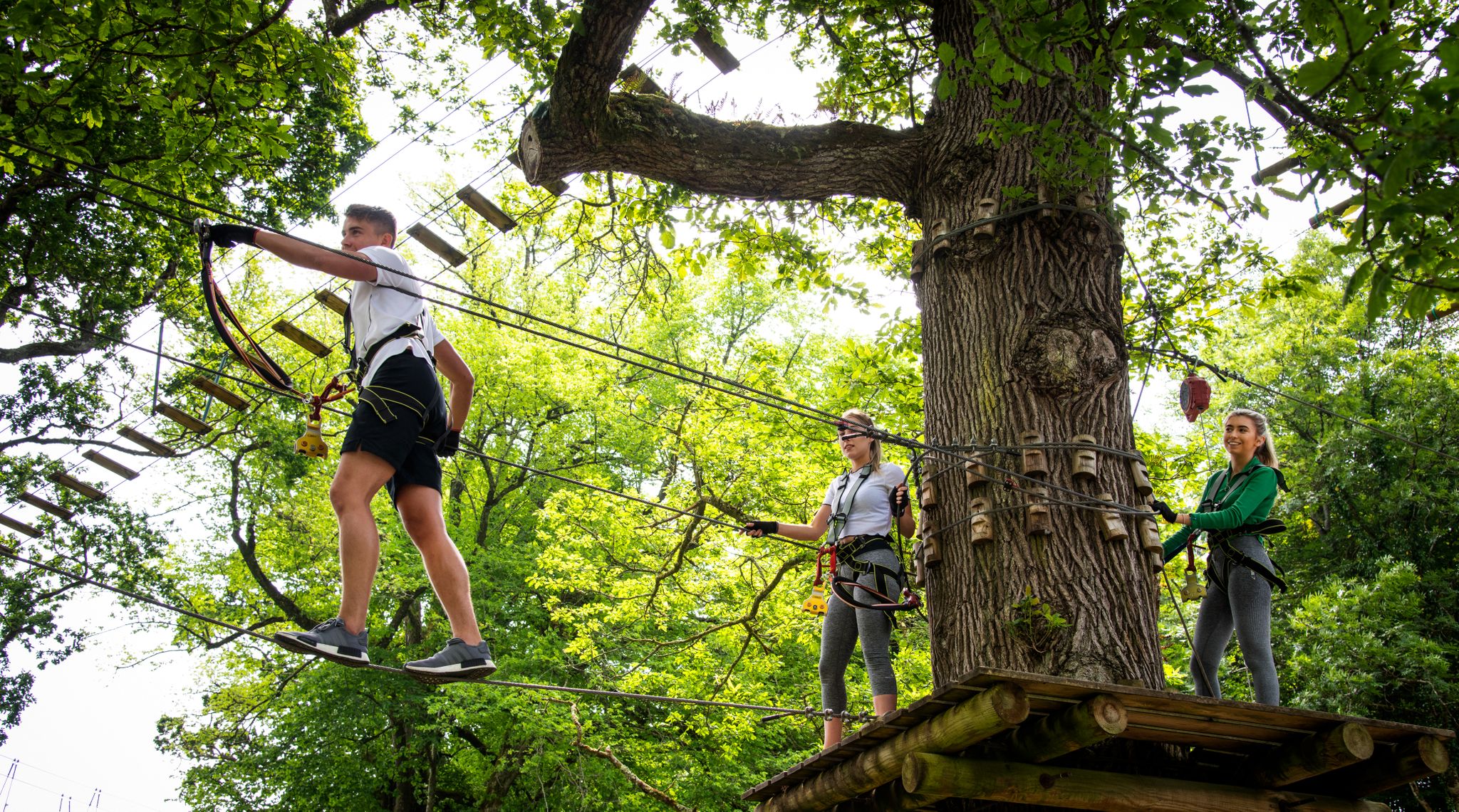
Awaken your spirit of discovery — family-friendly walks in Ireland
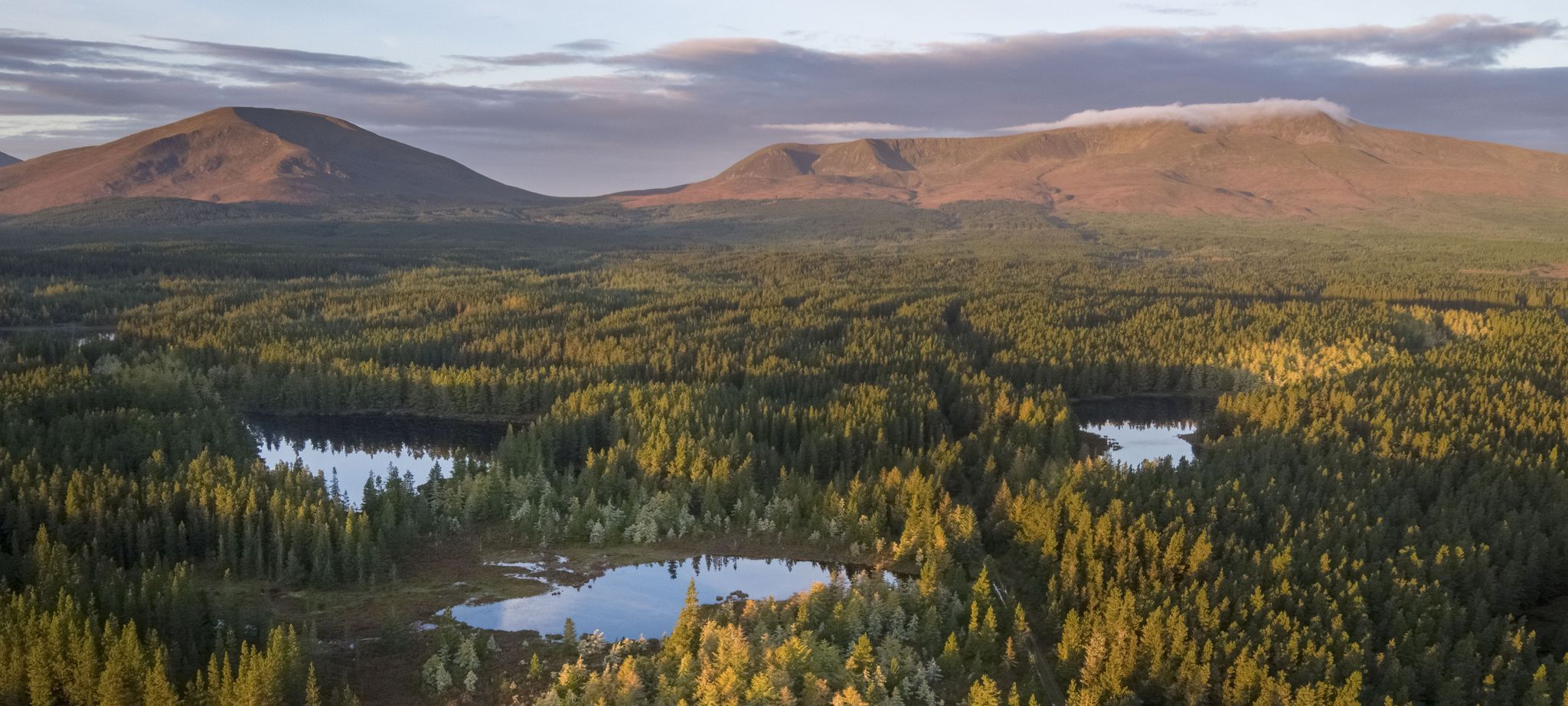
Discover Ireland's unspoilt nature in its national parks

Discover Ireland's past – historical walks on the Emerald Isle
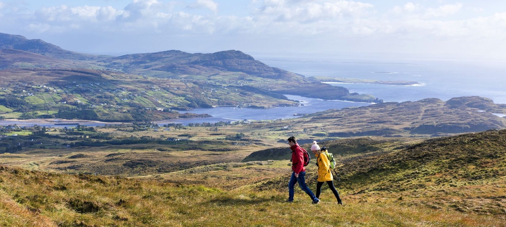
Wild Atlantic Way — day hikes for your road trip along Ireland's coastline
Holy mountains and their stories
Other adventures around Westport-Belmullet Municipal District


Tips from the Community

The summit is relatively easy to climb, but don't be fooled into thinking you can find a way up from the valley floor. The path disappears as soon as you start the ascent. Good mobility is essential to get up there, as there are several small scree sections along the way. The descent, on the other hand, is disastrous. There's no path at all, and you have to traverse a very unpleasant, steep slope through moss and bushes. It's recommended to split the hike if you only want to reach the summit. Start from the car park at Lough Accorymore and don't attempt the circular route to the top. I really advise against doing the circular route; you won't enjoy the hike otherwise, but the view is still worth it. Just follow the route marked at the car park by the lake.
2
0

Finished the tour today and discovered that there's mostly no path there. Anyone who can't navigate the difficult terrain could find themselves in trouble, especially in foggy conditions. The summit plateau has a lot of mud and swampy areas. But it's still a great tour for advanced hikers.
1
0

This is definitely a challenging trail, and should only be done with good weather and a reliable GPS device. There is mostly no trail and some scrambling to get to the top. The ascend is steep and the descend is boggy even when it hasn’t rained for a while. Due to wayfinding plan more time, we did it in five hours including breaks and photo stops.
1
0

Unfortunately, it is a pilgrim highway, designed with disregard for ergonomic principles to shuttle as many poorly equipped (sneakers) people as possible to the summit. The ascent is arduous due to the stairs, the descent even more so, as there is now a tripping hazard due to the vertically standing stone slabs. Consider that on Reek Sunday (the last Sunday in July), approximately 25,000 people gather here. However, the view is truly great in good weather.
0
0

Breathtaking heights with great views. Wild, original Ireland.
1
0

Welcome to one of the best views in Ireland. The views of the cliffs going up to Croaghan are just stunning. In my mind they rival Slieve League and the Cliffs of Moher.
4
0
Magic Mwleerea views await you by the time you get here. Hopefully it hasn't been too wet underfoot for you so you can enjoy this tranquil mountain summit and its grand views out over Killary Harbour.
2
0
Knockmore has super views out over the sea and towards Clew Bay from its trig pointed summit. There are a variety of routes to the top and the ascent is generally steep but it is all worth while for the views. There is also a large cairn just to the west of the summit.
2
0
Frequently Asked Questions
Which mountain peaks offer the most panoramic views in the Westport-Belmullet Municipal District?
For truly expansive views, Mweelrea, the highest mountain in County Mayo, offers 360-degree panoramas encompassing Killary Harbour, Clare and Achill Islands, and the Sheeffry Hills. Similarly, Croagh Patrick provides stunning vistas of Clew Bay and its numerous islands. From Nephin, you can see Lough Conn, the Nephin Beg range, and even Croagh Patrick across Clew Bay. On Achill Island, Croaghaun offers dramatic coastal views, including Keem Bay, while Slievemore provides magnificent ocean views extending to Keel Lough and the mainland peaks.
Are there any mountain peaks with significant historical or cultural importance in the region?
Yes, Croagh Patrick, often called "The Reek," is Ireland's most popular mountain and a site of pilgrimage for over 5,000 years. St. Patrick is believed to have fasted on its summit, where a modern chapel now stands. On Achill Island, at the base of Slievemore, you'll find the historic Deserted Village, comprising 80 to 100 stone cottages, offering a poignant glimpse into ancient land use and historical events.
What are the most challenging mountain climbs in the Westport-Belmullet Municipal District?
Mweelrea is considered a challenging climb, especially in poor weather, due to its steep ridges and remote nature. Croagh Patrick is also a demanding ascent, particularly due to its scree fields, requiring appropriate footwear. The climb to Croaghaun, while the summit itself is relatively easy, involves sections with scree and can be challenging, especially if attempting a circular route.
Which mountain peaks are known for their unique natural features?
Mweelrea is characterized by its steep ridges, corrie lakes, and deep river valleys, all shaped by glacial activity. Croaghaun on Achill Island boasts the highest sea cliffs in Ireland and the third-highest in Europe, offering a dramatic coastal experience. The Nephin Beg Range, largely within Wild Nephin National Park, features expansive Atlantic blanket bog and is home to the world's first International Dark Sky Park, providing exceptional stargazing opportunities.
Are there any family-friendly mountain walks or easier options in the area?
While many peaks in the region are challenging, you can find easier hiking options nearby. For example, the Easy hikes around Westport-Belmullet Municipal District guide features routes like the Keem Bay Beach and Cliff loop on Achill Island, and the Erris Head Loop Walk near Belmullet, which are generally less strenuous than summiting the highest peaks.
What kind of outdoor activities can I do near these mountain peaks?
Beyond mountain climbing, the region offers a variety of outdoor activities. You can explore numerous hiking trails, including those listed in the Easy hikes around Westport-Belmullet Municipal District guide. For cycling enthusiasts, there are MTB trails such as the Westport to Croagh Patrick loop and the Great Western Greenway Loop, detailed in the MTB Trails around Westport-Belmullet Municipal District guide. Running trails like the Clew Bay Tragedy Memorial loop are also available, as seen in the Running Trails around Westport-Belmullet Municipal District guide.
What do visitors enjoy most about climbing Croagh Patrick?
Visitors frequently highlight the rewarding nature of the climb to Croagh Patrick summit, despite its difficulty. The stunning views of Clew Bay are a major draw, and many appreciate the blend of breathtaking scenery with Irish history and spirituality. The unique pre-Christian history of the mountain also adds to the experience.
Where can I experience a truly remote and wild mountain environment?
The Nephin Beg Range, largely encompassed within the Wild Nephin National Park, offers a truly remote and wild experience. This area is ideal for those seeking solitude and unspoiled natural beauty, with expansive Atlantic blanket bog and mountainous terrain. Mweelrea also provides a remote and wild setting, appealing to hikers, nature photographers, and bird watchers.
Which mountain peak is best for viewing sea cliffs?
For spectacular sea cliffs, Croaghaun on Achill Island is unparalleled. It features the highest sea cliffs in Ireland and the third-highest in Europe. From its summit, you can overlook the beautiful crescent-shaped Keem Bay, known for its dramatic coastal scenery.
What is unique about the Nephin Beg Range?
The Nephin Beg Range is unique for its designation as the world's first International Dark Sky Park, offering exceptional stargazing opportunities. It's also a vast, remote wilderness area within Wild Nephin National Park, providing a habitat for diverse flora and fauna, including red deer and mountain hares, appealing to those seeking solitude and unspoiled nature.
Are there any mountains on islands in the Westport-Belmullet Municipal District?
Yes, Achill Island is home to two prominent peaks: Croaghaun and Slievemore. Additionally, Knockmore, at 462 meters, is the highest mountain on Clare Island, offering excellent views of Clew Bay and the Atlantic Ocean.
What should I know about climbing Croaghaun on Achill Island?
When climbing Croaghaun, be aware that while the summit itself is relatively easy to reach, the path can disappear during the ascent, requiring good mobility and navigating small scree sections. It's often recommended to avoid attempting a circular route from the valley floor due to challenging terrain on the descent; instead, consider an out-and-back route from the car park at Lough Accorymore to fully enjoy the stunning views over Keem Bay and the dramatic sea cliffs.
Most popular routes around Westport-Belmullet Municipal District
Most popular attractions around Westport-Belmullet Municipal District

Get inspired with the komoot mobile app


