The best walks and hikes around The Municipal District of Carrick-on-Suir
4.5
(58)
566
hikers
53
hikes
Hiking around The Municipal District of Carrick-on-Suir offers diverse landscapes, from river valleys to mountain ranges. The region is characterized by the winding River Suir, the Comeragh and Knockmealdown Mountains, and the prominent Slievenamon Mountain. Woodlands and open moorland provide varied terrain for outdoor activities.
Best hiking trails around The Municipal District of Carrick-on-Suir
- The most popular hiking route is Slievenamon Peak from Kilcash, a 5.0 miles (8.0 km) trail that takes 3 hours 30 minutes to complete. This…
Last updated: August 3, 2026
4.4
(5)
27
hikers
11.2km
04:24
610m
610m
Hike 7.0 miles (11.2 km) from Kilcash Castle to Slievenamon summit, gaining 2015 feet (614 metres) with panoramic views and ancient folklore
13
hikers
16.7km
05:29
700m
700m
Hike the difficult 10.4-mile Slievenamon summit loop (Sliabh na mBan) for panoramic views and a challenging ascent in County Tipperary.

Sign up for free
3.0
(1)
7
hikers
4.70km
01:22
120m
120m
Easy hike. Great for any fitness level. Easily-accessible paths. Suitable for all skill levels.
6
hikers
2.48km
00:37
0m
0m
Easy hike. Great for any fitness level. Easily-accessible paths. Suitable for all skill levels.
2
hikers
14.1km
04:09
410m
410m
Hike the moderate 8.8-mile Slievenamon and Knockahunna Loop in County Tipperary, gaining 1347 feet with panoramic views.
3
hikers
8.73km
02:25
160m
160m
Moderate hike. Good fitness required. Easily-accessible paths. Suitable for all skill levels.
3.0
(1)
2
hikers
5.29km
01:34
160m
160m
Easy hike. Great for any fitness level. Easily-accessible paths. Suitable for all skill levels.
1
hikers
9.81km
02:44
190m
190m
Moderate hike. Good fitness required. Easily-accessible paths. Suitable for all skill levels.
1
hikers
1.28km
00:23
40m
40m
Easy hike. Great for any fitness level. Easily-accessible paths. Suitable for all skill levels.
2.08km
00:32
10m
10m
Easy hike. Great for any fitness level. Easily-accessible paths. Suitable for all skill levels.
Get access to more routes and recommendations from other explorers.
Sign up for free
Already have an account?
Our route recommendations are based on thousands of hikes, rides, and runs completed by other people on komoot.
Start today with a free account
Your next adventure awaits.
Login or Signup
Popular around The Municipal District of Carrick-on-Suir
Other adventures around The Municipal District of Carrick-on-Suir

Tips from the Community

The Bearna Breac loop follows forest trails around the woodland. Nice views between the trees.
0
0
Kyleadohir Wood is a mixed young oak-ash-elm woodland. The ground is naturally wet underfoot which promotes a wide range of mosses and ground fern species. There is a nice 2 km (1.3 mile) trail that loops the wood.
0
0

A tranquil freshwater lake surrounded by wetlands and gentle hills. The lake is often dotted with ducks and waterlilies.
0
0

For those seeking a more spirited adventure, the extensive forest tracks of Faugheen Woods provide an ideal terrain for an exhilarating hike or ride through the deep Tipperary woodlands. The quiet solitude of the forest, far from the crowds, heightens the sense of discovery as you navigate the winding, scenic trails.
0
0
Knockahunna is a hill and townland located in the scenic Slieve Felim Mountains of County Tipperary. The area is characterized by quiet upland forestry and open moorland, providing viewpoints across the rolling rural landscape of Tipperary.
0
0
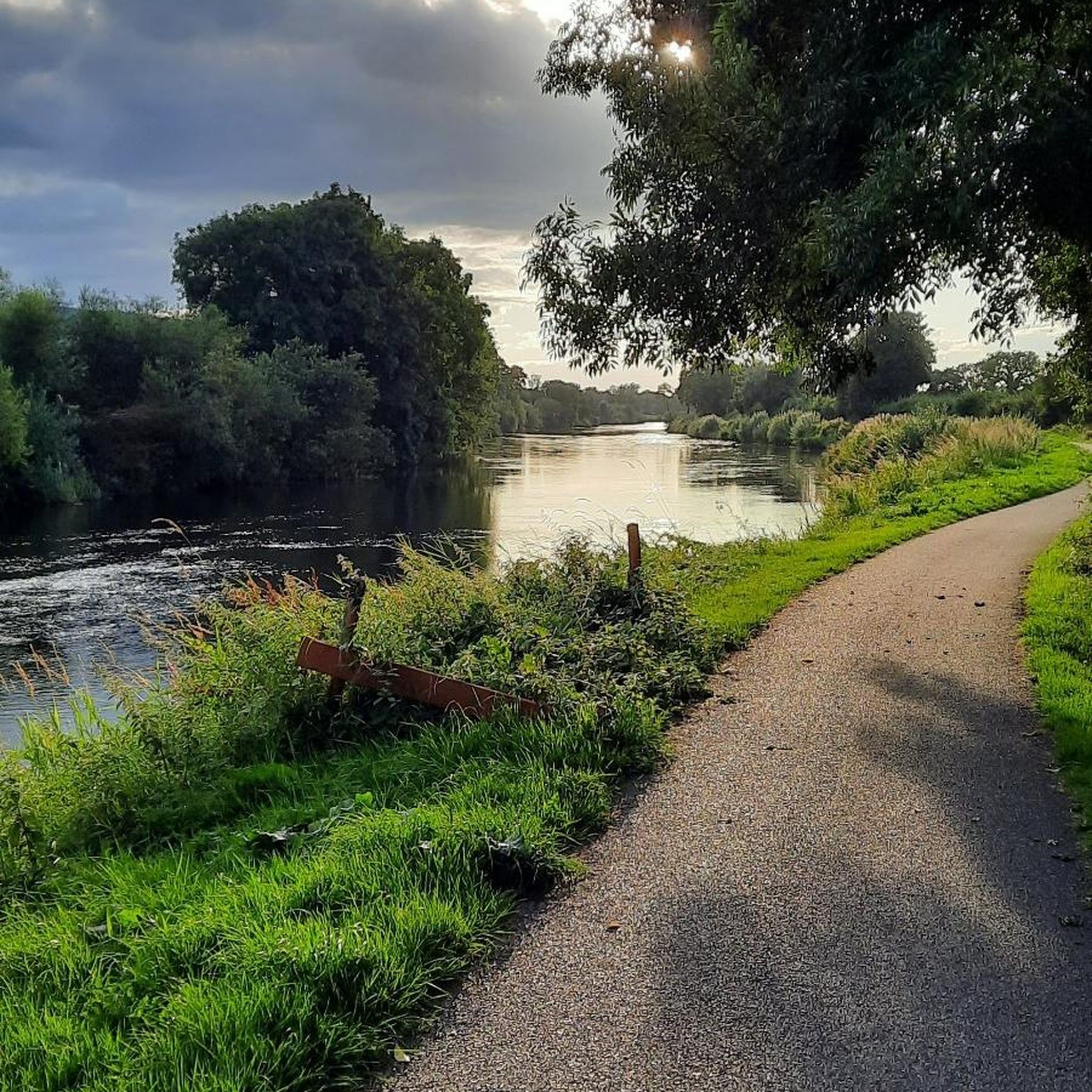
A peaceful gravel track lined with trees, hedgerows and wide skies. This quiet stretch of countryside captures the calm, rural character of the area.
0
0
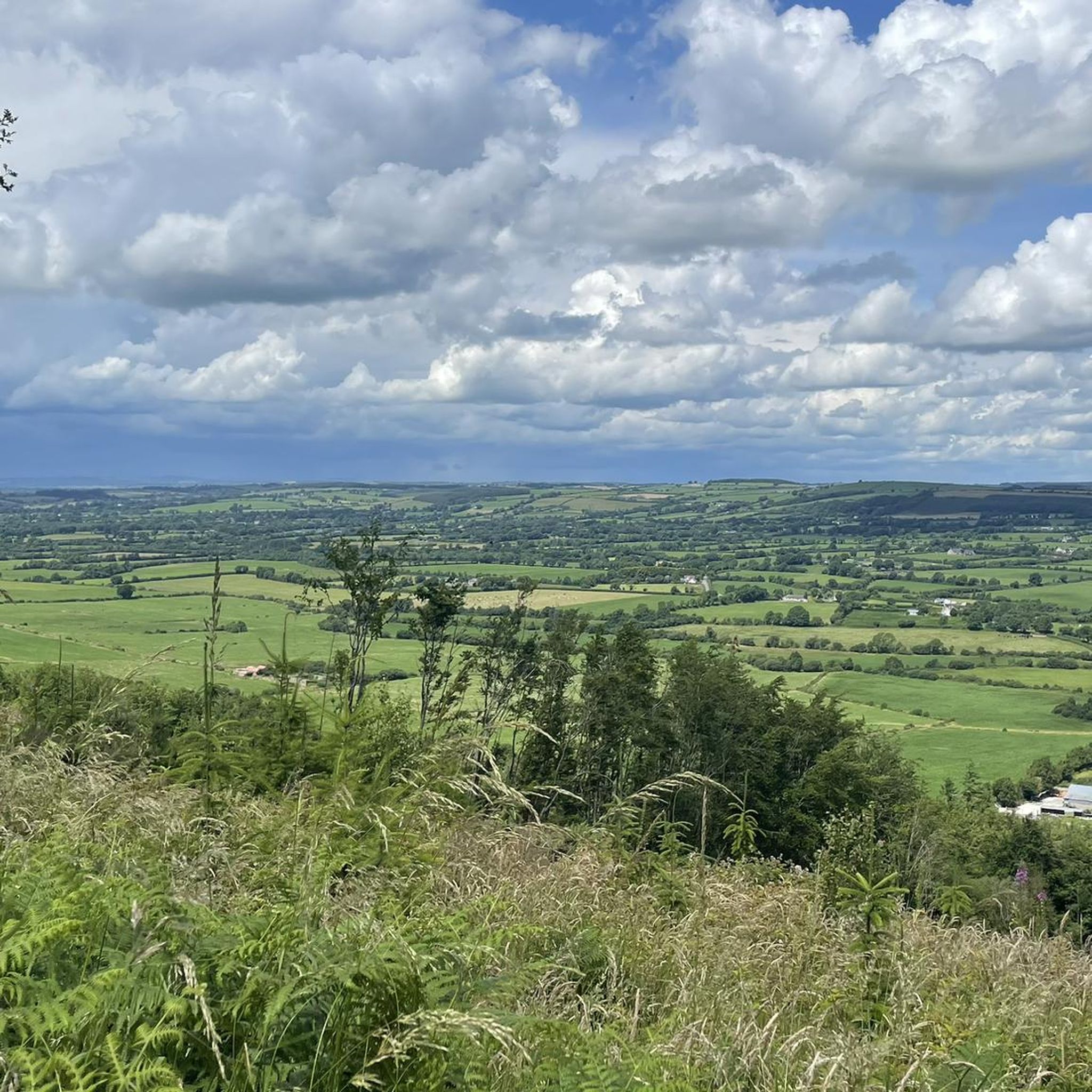
Here the landscape opens into wide, peaceful views across fields, valleys and distant hills. A beautiful contrast to the enclosed forest and farmland below.
0
0
Frequently Asked Questions
How many hiking trails are available in The Municipal District of Carrick-on-Suir?
There are over 45 hiking routes recorded in The Municipal District of Carrick-on-Suir, catering to various skill levels. This includes 31 easy routes, 14 moderate trails, and 2 more challenging options.
Are there any family-friendly hiking options in the area?
Yes, The Municipal District of Carrick-on-Suir offers several easy trails suitable for families. For a peaceful walk through wooded areas, consider the Deerpark Wood Loop. Another accessible option is the Kilmacoliver loop, which is just under 5 km.
What kind of terrain can I expect on hikes in The Municipal District of Carrick-on-Suir?
The region offers diverse terrain, from gentle river paths along the Suir to challenging mountain ascents in the Comeragh and Knockmealdown Mountains, and the prominent Slievenamon. You'll also find tranquil woodland trails and open moorland, providing a variety of surfaces and landscapes.
Are there any circular walks available?
Yes, several circular walks are available. The Deerpark Wood Loop is a popular easy option. For a more challenging experience, the Slievenamon and Sheegouna Loop Trail offers a difficult 16.7 km route through mountain terrain.
What are some notable landmarks or attractions I can see while hiking?
Many trails integrate historical elements and natural beauty. You can explore sites like Ormond Castle, or walk along the Suir Blueway which offers views of historical landmarks. The Rock of Cashel and Cormac's Chapel is also accessible via an easy route.
What do other hikers enjoy most about the trails here?
The trails in The Municipal District of Carrick-on-Suir are highly rated by the komoot community, with an average score of 4.6 stars from over 60 reviews. Hikers often praise the diverse landscapes, from peaceful woodlands to panoramic mountain views, and the variety of routes suitable for different fitness levels.
Are there any trails that offer significant elevation gain for a challenge?
Absolutely. For a challenging hike with significant elevation gain and extensive views, consider the Slievenamon Peak from Kilcash. Another option is the Kilcash castle to Slievenamon out and back, which also features substantial ascent.
Can I find trails that are suitable for a leisurely stroll?
Yes, there are plenty of options for leisurely strolls. The Deerpark Wood via Nature Walk is an easy route through serene woodlands. Another gentle option is Around Lough Doire Bhile, offering a short, flat walk.
What is the best time of year to go hiking in this district?
The Municipal District of Carrick-on-Suir offers enjoyable hiking throughout much of the year. Spring brings vibrant wildflowers, while autumn showcases beautiful foliage. Summer is ideal for longer days and higher mountain trails. Always check local weather conditions before heading out, especially for mountain routes.
Are there any long-distance trails that pass through or near Carrick-on-Suir?
Yes, the East Munster Way, a long-distance trail and part of the European E8 route, features diverse terrain from riverside paths to open moorland, offering spectacular views of the Comeragh and Knockmealdown Mountains. The Suir Blueway also provides a 53km route from Carrick-on-Suir towards Cahir, suitable for walking and cycling.
Are there any trails that offer views of the River Suir?
Yes, the majestic River Suir winds through the town, and trails like the Suir Blueway run along its banks. This offers excellent opportunities for waterside exploration and picturesque views of the river and its surroundings.
What are the options for moderate difficulty hikes?
For moderate hikes, you can explore routes like Slievenamon Peak from Kilcash or Slievenamon and Knockahunna Loop. These trails offer a good balance of challenge and scenic rewards without being overly strenuous.
Most popular routes around The Municipal District of Carrick-on-Suir
Most popular attractions around The Municipal District of Carrick-on-Suir

Get inspired with the komoot mobile app


Explore more
Browse the best Hikes in other regions.
