The best cycling routes around The Municipal District of Gorey — Kilmuckridge
4.6
(35)
236
riders
64
rides
Touring cycling routes around The Municipal District of Gorey — Kilmuckridge offer a diverse landscape in County Wexford, Ireland. The region features a mix of low-lying, fertile land, coastal stretches, woodlands, and hills. Cyclists can find varied terrain, from relatively flat routes along the coast to more challenging paths with significant elevation gains in areas like Tara Hill. This blend provides options for different cycling preferences and fitness levels.
Best touring cycling routes around The Municipal District of Gorey —…
Last updated: July 18, 2026
4
riders
24.5km
01:26
140m
140m
Easy bike ride. Great for any fitness level. Mostly paved surfaces. Suitable for all skill levels.
69.2km
04:39
850m
850m
Hard bike ride. Very good fitness required. Mostly paved surfaces. Suitable for all skill levels.

Sign up for free
92.7km
05:46
900m
900m
Hard bike ride. Very good fitness required. Mostly paved surfaces. Suitable for all skill levels.
5.0
(1)
1
riders
93.1km
06:03
1,190m
1,190m
Hard bike ride. Very good fitness required. Mostly paved surfaces. Suitable for all skill levels.
1
riders
78.5km
05:29
1,230m
1,230m
Hard bike ride. Very good fitness required. Mostly paved surfaces. Suitable for all skill levels.
55.4km
03:31
500m
500m
Hard bike ride. Very good fitness required. Mostly paved surfaces. Suitable for all skill levels.
4.0
(1)
8
riders
39.5km
02:25
280m
280m
Moderate bike ride. Good fitness required. Mostly paved surfaces. Suitable for all skill levels.
10
riders
52.7km
03:07
350m
350m
Moderate bike ride. Good fitness required. Mostly paved surfaces. Suitable for all skill levels.
4.0
(1)
8
riders
48.4km
02:59
380m
380m
Moderate bike ride. Good fitness required. Mostly paved surfaces. Suitable for all skill levels.
9
riders
12.0km
01:01
30m
30m
Easy bike ride. Great for any fitness level. Mostly paved surfaces. Suitable for all skill levels.
Get access to more routes and recommendations from other explorers.
Sign up for free
Already have an account?
Our route recommendations are based on thousands of hikes, rides, and runs completed by other people on komoot.
Start today with a free account
Your next adventure awaits.
Login or Signup
Popular around The Municipal District of Gorey — Kilmuckridge
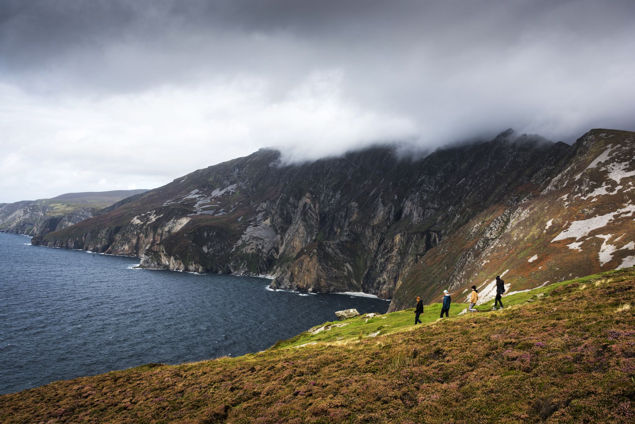
Hike Ireland's coast: cliffs, waves and wonderful wide beaches
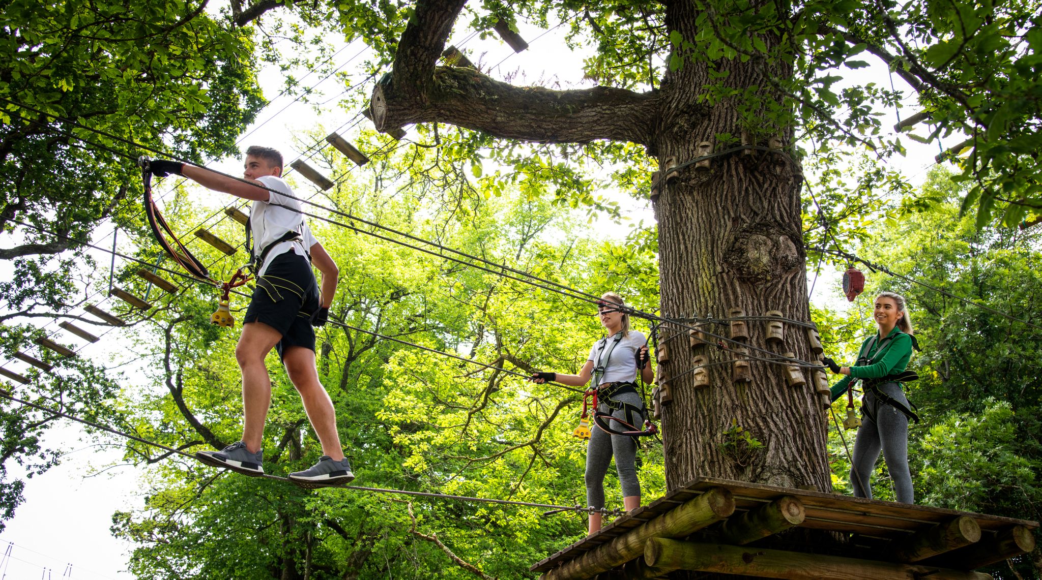
Awaken your spirit of discovery — family-friendly walks in Ireland
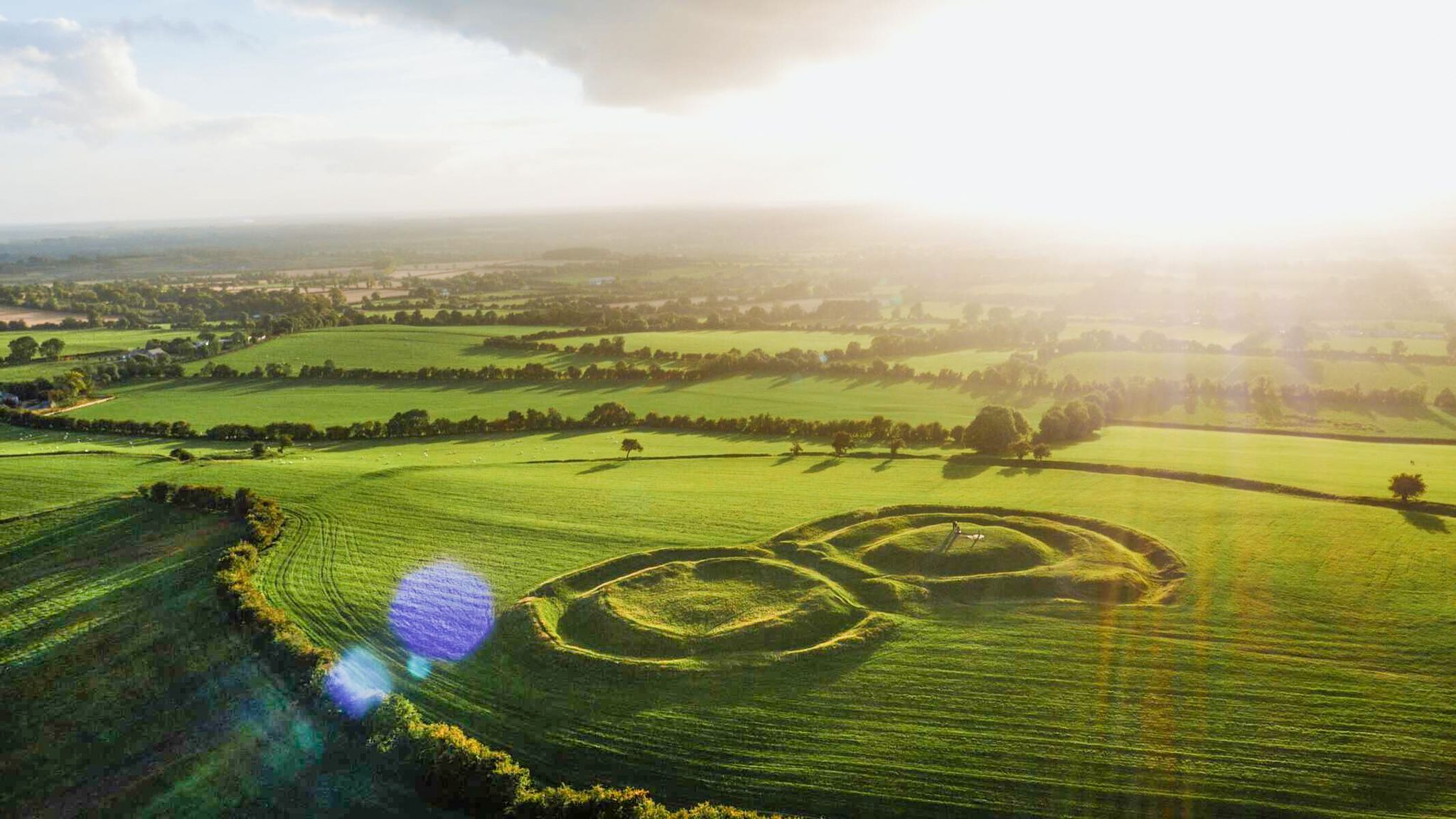
The magical east of Ireland – ancient places, scenic lakes and rocky mountains
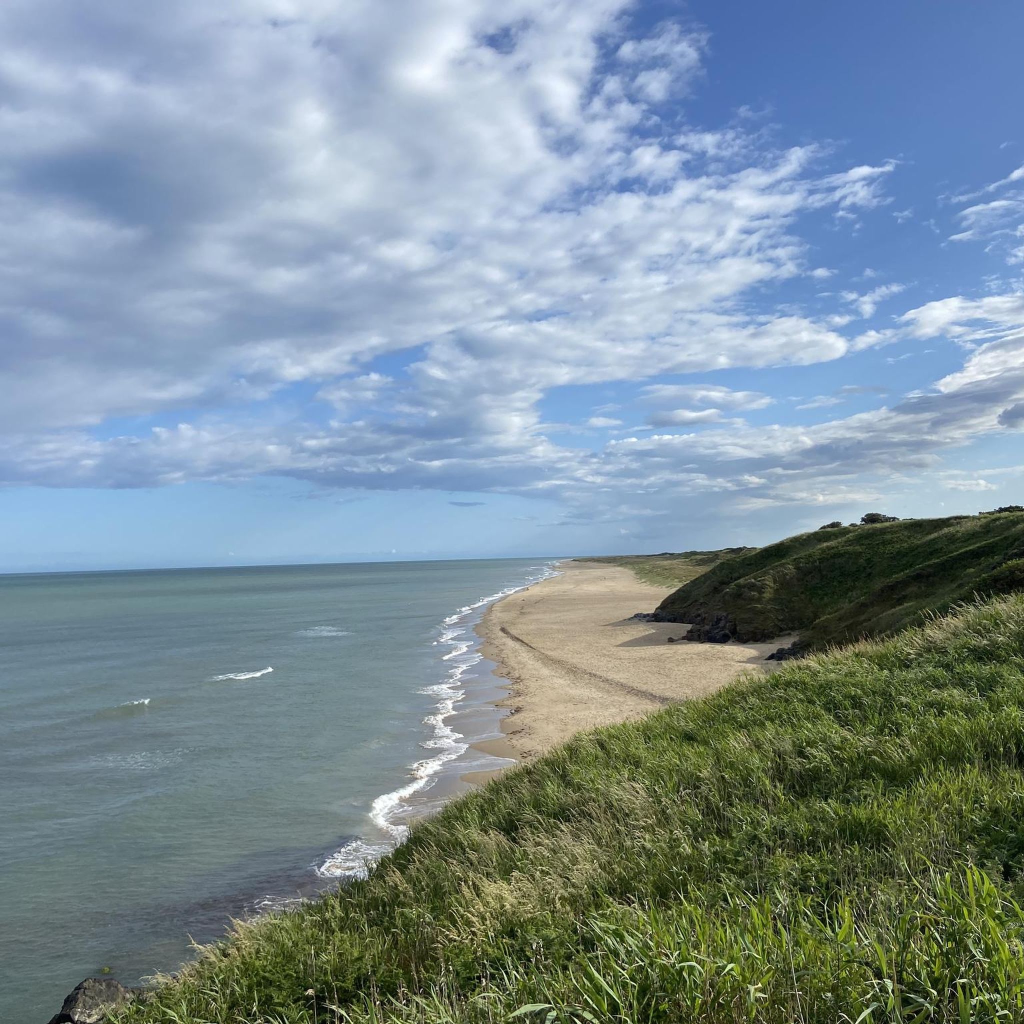
Hiking around The Municipal District of Gorey — Kilmuckridge

Road Cycling Routes around The Municipal District of Gorey — Kilmuckridge
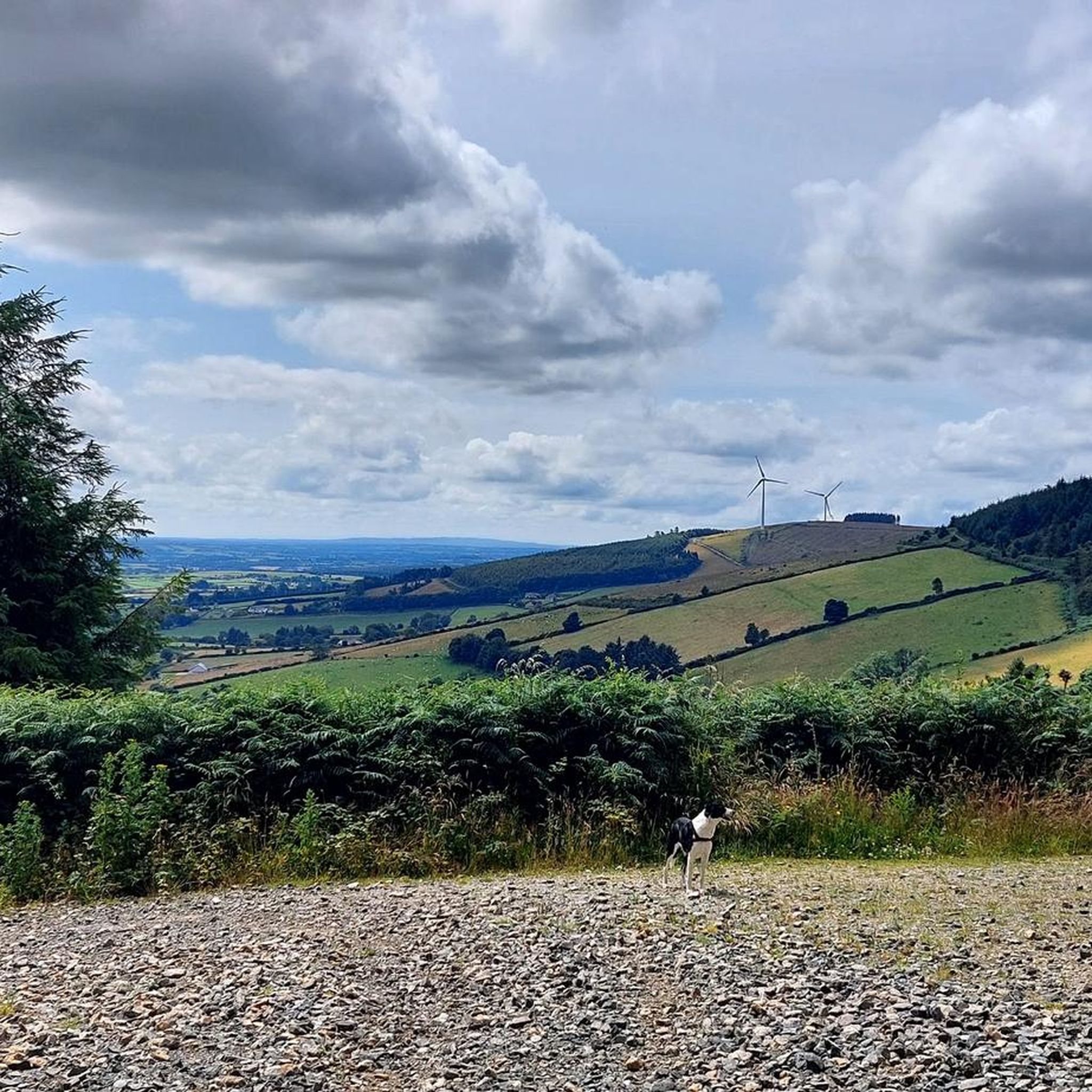
Running Trails around The Municipal District of Gorey — Kilmuckridge
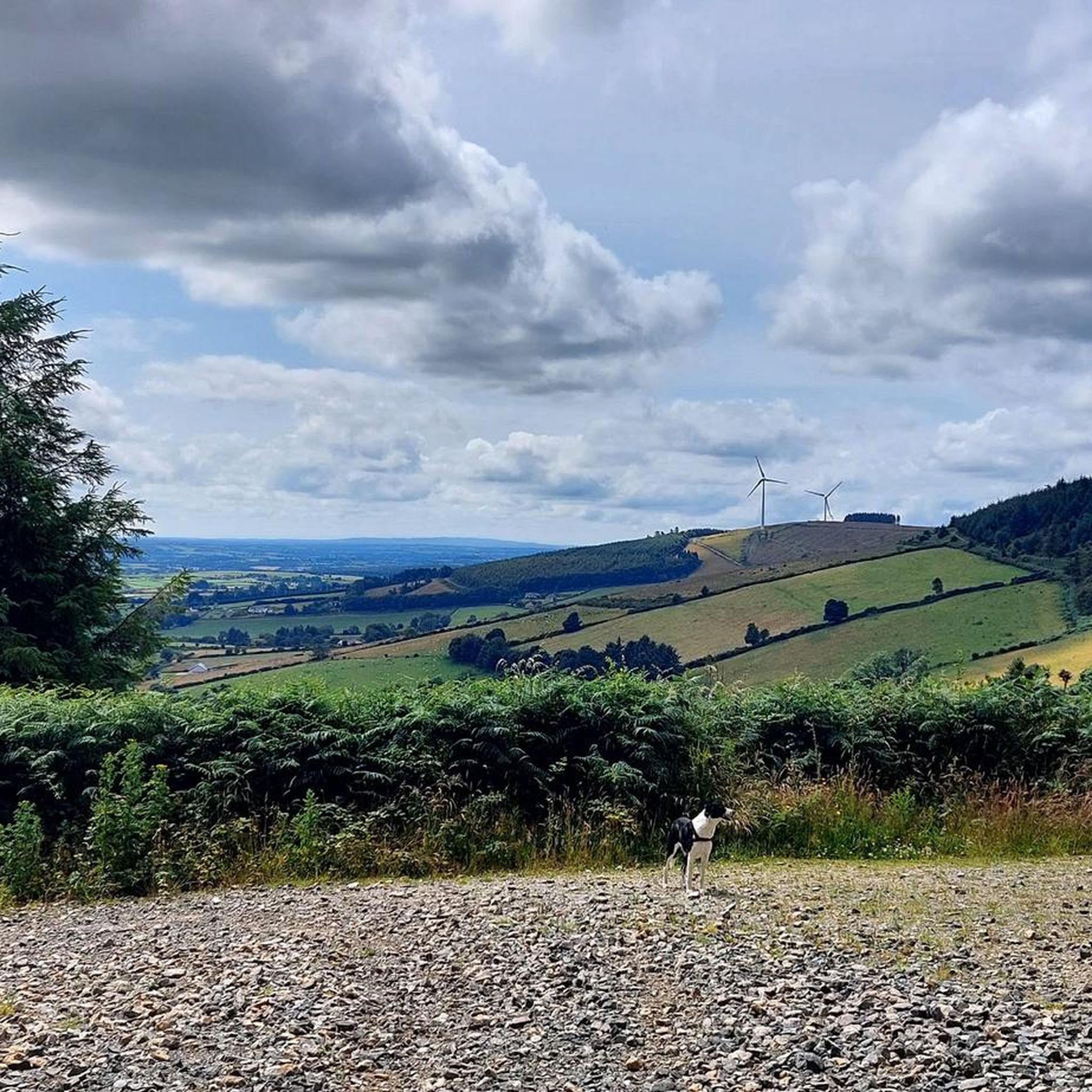
MTB Trails around The Municipal District of Gorey — Kilmuckridge
Other adventures around The Municipal District of Gorey — Kilmuckridge

Tips from the Community

This 19th-century arch bridge over the Derry Water River is a fine example of Irish civil engineering. The construction is entirely built from local granite, with the precisely cut keystones in the arches immediately catching the eye. These arches are not only elegant but also technically designed to optimally absorb the varying water pressure of the river. The robust parapets of rough natural stone allow the structure to blend seamlessly into the landscape of Aughrim, making the bridge a characteristic monument on the border between history and nature.
9
0

Wicklow is a town with approx. 13,000 inhabitants and the administrative seat of County Wicklow. The 33-kilometer-long river Vartry flows through the town.
1
0

The Arklow Rock Cliff Walk was set up by the current quarry operators to allow walkers to safely visit and view the area. The quarry mines the blue basalt and speckled grey granite rocks that formed as part of the Arklow Rock volcanic event. The walk loops the quarry, offering great views out to sea, of the rocks and the working quarry.
0
0
The Mucklagh Hut is one of three purpose-built shelters on the Wicklow Way long-distance trail. It's a little off the main route but worth the detour, especially in bad weather. The hut provides basic but comfortable shelter for a break or overnight.
0
0

One of the three shelters on the Wicklow Way: square, practical, and good. With a fire pit and bench. A good shelter from the rain and a good place to spend the night.
0
0

Great starting point for a hike on Tara Hill
0
0

Lovely little section which takes you off the main road. Smooth tarmac
0
0

Frequently Asked Questions
How many touring cycling routes are available in The Municipal District of Gorey — Kilmuckridge?
There are over 70 touring cycling routes available in The Municipal District of Gorey — Kilmuckridge, catering to various skill levels. You'll find 5 easy routes, 41 moderate routes, and 24 difficult routes.
What kind of landscapes can I expect to see while touring cycling in this region?
The region offers a diverse range of landscapes, from extensive coastlines with long sandy beaches like Morriscastle Beach and secluded coves, to tranquil woodlands such as Courtown Woods, and picturesque hills including Tara Hill and Croghan Kinsella Summit. You'll experience a mix of lowlands, river valleys, and varied topography.
Are there touring cycling routes suitable for beginners or families?
Yes, there are several easy touring cycling routes perfect for beginners or families. One excellent option is the Curracloe Beach – Road Behind the Dunes loop from Ballinesker, an easy 12.0 km coastal trail offering refreshing sea air and views of one of Europe's longest beaches.
Where can I find more challenging touring cycling routes?
For those seeking a challenge, the region offers difficult routes with significant elevation gains. The Huntington Castle loop from Gorey is a difficult 92.7 km trail exploring the inland countryside, while the The Dying Cow Pub – Tinahely loop from Gorey is another difficult 59.9 km option with substantial climbs.
What interesting landmarks or attractions can I visit along the touring cycling routes?
You can explore various landmarks and natural attractions. Consider routes that pass by Croghan Kinsella Summit (606 m) for rewarding vistas, or the Tara Hill Summit Cross. The Cahore Point Coastal Walk offers scenic views, and the Tulach a' tSolais Monument is another notable point of interest.
Are there any scenic coastal touring cycling routes?
Yes, the region is known for its beautiful coastline. The Curracloe Beach – Road Behind the Dunes loop from Ballinesker is an easy coastal option. For a moderate ride, the Along the pier – Courtown loop from Cahore ED offers coastal views, as does the Courtown – Seal Rescue Ireland loop from Gorey.
Can I find touring cycling routes that offer views of hills or summits?
Absolutely. The Gorey Market House – Tara Hill Trailhead Car Park loop from Gorey is a moderate 39.5 km path that includes scenic views of Tara Hill. For more challenging climbs and panoramic vistas, routes around Croghan Kinsella Summit are available.
Are there options for parking at the start of touring cycling routes?
Yes, many routes have designated parking areas. For example, the Tara Hill Trailhead Car Park serves as a starting point for routes exploring Tara Hill and its surroundings.
What do other touring cyclists say about the routes in The Municipal District of Gorey — Kilmuckridge?
The routes in The Municipal District of Gorey — Kilmuckridge are highly rated by the komoot community, with an average score of 4.7 stars from over 30 reviews. Reviewers often praise the varied terrain, from serene coastal paths to demanding climbs, and the beautiful natural scenery.
Is public transport available to access touring cycling routes in the area?
While some areas are accessible by public transport, it's advisable to check local bus and train schedules for specific routes and their proximity to cycling trailheads. Many roads in County Wexford are well-suited for cycling, offering quiet journeys to interesting places.
What is the best time of year for touring cycling in The Municipal District of Gorey — Kilmuckridge?
The spring and summer months (April to September) generally offer the most favorable weather for touring cycling, with milder temperatures and longer daylight hours. However, the region's diverse landscapes can be enjoyed year-round, with autumn providing beautiful foliage and winter offering quieter routes, though conditions may be more challenging.
Are there any touring cycling routes that pass through woodlands?
Yes, the region features serene woodlands. Courtown Woods, dating back to 1870, provides opulent areas to explore and can be incorporated into cycling routes. The general inland countryside also includes forested sections, offering shaded and tranquil riding experiences.
Most popular routes around The Municipal District of Gorey — Kilmuckridge
Most popular attractions around The Municipal District of Gorey — Kilmuckridge

Get inspired with the komoot mobile app


Explore more
Browse the best Cycling routes in other regions.
