The best cycling routes around The Municipal District of Wicklow
4.7
(44)
1,115
riders
64
rides
Touring cycling routes around The Municipal District of Wicklow traverse a diverse landscape, dominated by the Wicklow Mountains and a coastline stretching over 60 km. The region features challenging mountain passes, serene glacial valleys like Glendalough, and extensive sandy beaches. Cyclists can explore a variety of terrains, from open moorland and thick forests to rugged cliffs and picturesque lakes.
Best touring cycling routes around The Municipal District of Wicklow
- The most popular touring cycling route is Russborough House loop from…
Last updated: August 17, 2026
8
riders
61.7km
03:44
530m
530m
Hard bike ride. Very good fitness required. Mostly paved surfaces. Suitable for all skill levels.
4
riders
41.0km
02:44
470m
470m
Cycle 25.5 miles (41.0 km) to Devil's Glen Waterfall from Wicklow, a difficult route with 1537 feet (469 metres) of elevation gain.

Sign up for free
3
riders
54.2km
03:37
670m
670m
This difficult 33.7-mile touring cycling loop from Rathdrum to Glendalough in Wicklow offers challenging climbs and scenic Irish landscapes.
2
riders
107km
07:04
1,560m
1,560m
Hard bike ride. Very good fitness required. Mostly paved surfaces. Suitable for all skill levels.
4.8
(6)
56
riders
41.1km
02:41
590m
590m
Hard bike ride. Very good fitness required. Mostly paved surfaces. Suitable for all skill levels.
4.8
(6)
53
riders
48.5km
03:08
640m
640m
Hard bike ride. Very good fitness required. Mostly paved surfaces. Suitable for all skill levels.
3.7
(3)
58
riders
41.3km
03:21
890m
890m
Hard bike ride. Very good fitness required. You may need to push your bike for some segments of this route.
37
riders
45.0km
03:18
1,010m
1,010m
Hard bike ride. Very good fitness required. Mostly paved surfaces. Suitable for all skill levels.
5.0
(1)
20
riders
84.0km
05:40
1,380m
1,380m
Hard bike ride. Very good fitness required. You may need to push your bike for some segments of this route.
5.0
(2)
15
riders
73.9km
05:11
1,450m
1,450m
Hard bike ride. Very good fitness required. You may need to push your bike for some segments of this route.
Get access to more routes and recommendations from other explorers.
Sign up for free
Already have an account?
Our route recommendations are based on thousands of hikes, rides, and runs completed by other people on komoot.
Start today with a free account
Your next adventure awaits.
Login or Signup
Popular around The Municipal District of Wicklow
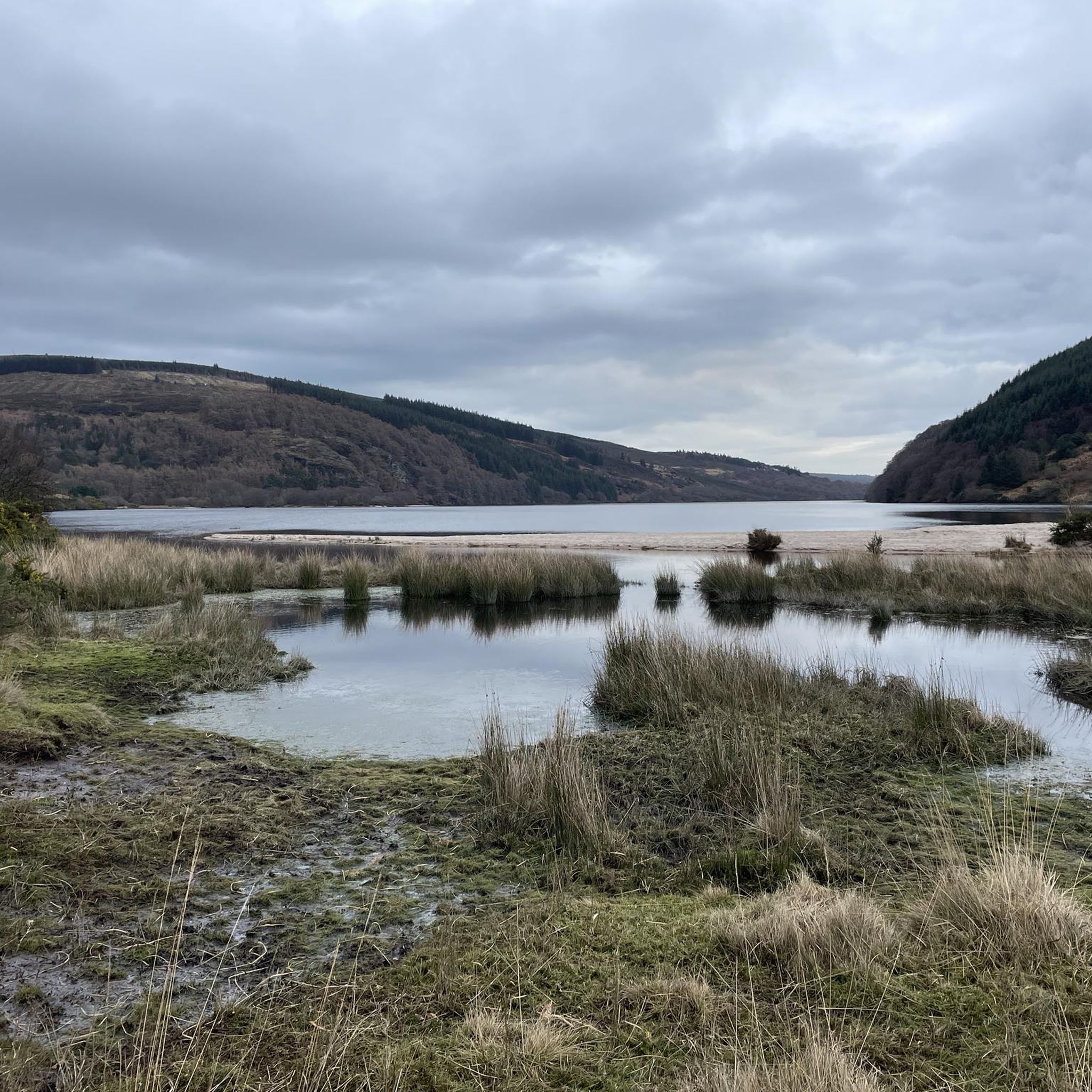
Cycling around Lough Dan
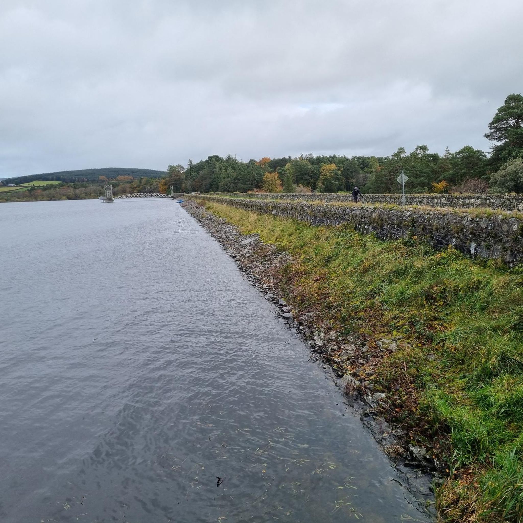
Cycling around Vartry Reservoir Lower
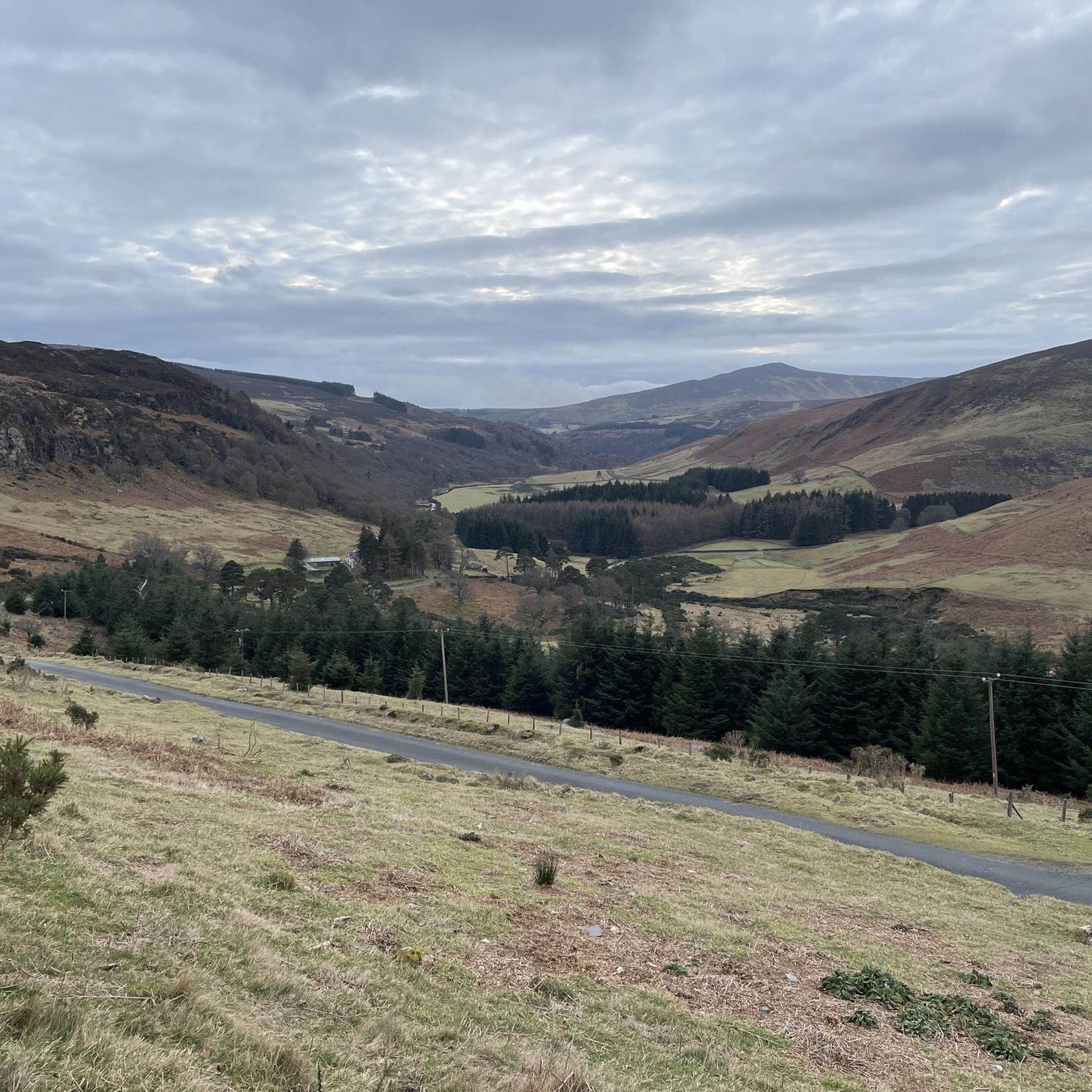
Cycling around Lough Tay
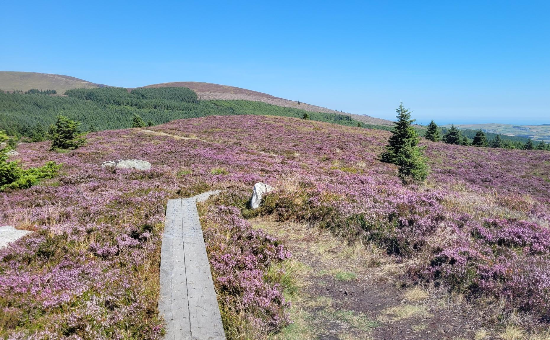
Running the Wicklow Way – From the city to the mountains
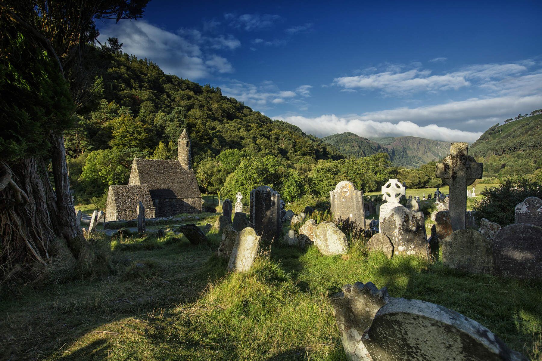
The Wicklow Way — discover Ireland's east

Follow the water - Along Ireland's rivers and lakes
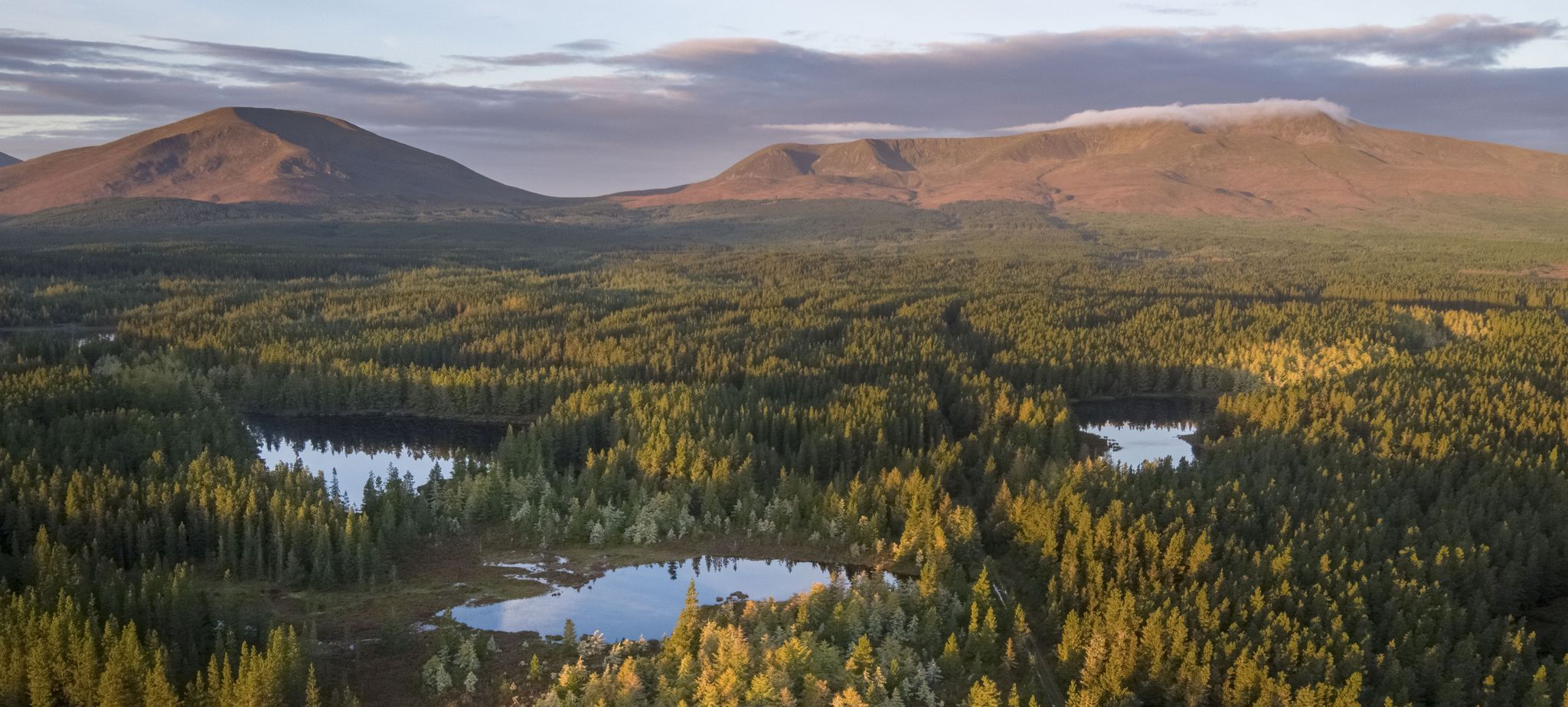
Discover Ireland's unspoilt nature in its national parks

Ireland's blue rivers and lakes – walks along the water

Discover Ireland's past – historical walks on the Emerald Isle
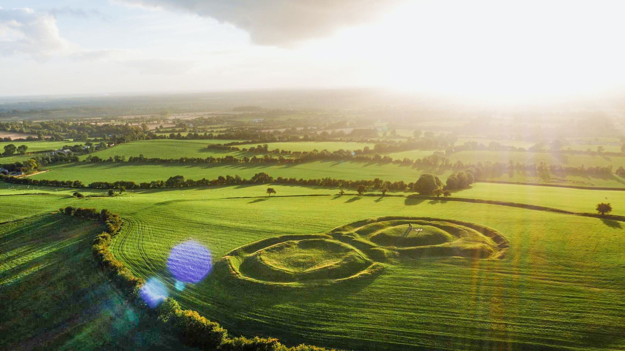
The magical east of Ireland – ancient places, scenic lakes and rocky mountains
Other adventures around The Municipal District of Wicklow


Tips from the Community

A really great old monastery complex - there is a lot to see
0
0

The Bookey Bridge is more than a crossing; it is a monument to the idiosyncrasies of William Bookey, the then owner of the nearby Derrybawn House. He had this 12-meter-long granite arch bridge and 800 meters of new road built at his own expense to bypass the original Military Road. His goal? To create an uninterrupted lawn that ran from his country house down to the river. Look closely at the sides of the bridge. You will see circular holes of approx. 5 cm. These were drilled by the Irish army during World War II (The Emergency). They were intended for explosives to blow up the bridge immediately in the event of a German invasion.
5
0
Friendly service and plenty of space inside and outside.
8
0
The waterfall plunges in multiple stages, 80–100 meters, down a wide granite ledge. The combination of steep walls, open highlands, and the winding river below makes this one of the most dramatic panoramas in the entire R115 corridor.
6
0
Luggala Trailhead Parking Area Small parking area on the north side of Luggala, starting point for the short but steep hike to the viewpoint over Lough Tay. Direct access to open heathland and panoramic views.
4
0
Sally Gap, one of the highest and most open crossroads in the Wicklow Mountains. Here, the R759 and the Old Military Road (R115) intersect at over 500 meters altitude, in the middle of a vast moorland and heath landscape without buildings or shelter. The panorama is a full 360°: the dark bogs of Liffey Head Bog, the flanks of Kippure, the valleys towards Glencree, and the long, empty Military Road that runs like a pencil line through the highlands. This location is world-famous as a backdrop for films and series such as Braveheart, Vikings, and P.S. I Love You.
8
0

Just off the Military Road above Glenmalure, you'll find this nice little cascade on the Ballyboy Brook. From here, it's just a short walk to the Glenmalure Lodge for accommodation and refreshments. A short way further north are the more impressive Coolalingo Waterfalls.
0
0
Frequently Asked Questions
How many touring cycling routes are available in The Municipal District of Wicklow?
The Municipal District of Wicklow offers a wide array of touring cycling routes, with over 70 options available. These routes cater to various skill levels, from moderate to difficult, ensuring there's a suitable ride for most cyclists.
What do other touring cyclists enjoy most about cycling in The Municipal District of Wicklow?
The area is highly rated by the komoot community, with an average score of 4.8 stars from over 20 reviews. Cyclists frequently praise the diverse landscapes, from the challenging Wicklow Mountains to the serene Glendalough Valley, and the well-maintained routes that offer stunning views and a rewarding experience.
Are there touring cycling routes suitable for beginners in The Municipal District of Wicklow?
While many routes in The Municipal District of Wicklow are rated moderate to difficult, there are some easier options available. These typically involve gentler terrain and shorter distances, perfect for those new to touring cycling or looking for a more relaxed ride. Look for routes with lower elevation gain and shorter durations.
Where can I find more challenging touring cycling routes in The Municipal District of Wicklow?
For experienced touring cyclists seeking a challenge, The Municipal District of Wicklow offers numerous difficult routes, particularly in the Wicklow Mountains. Routes like the Russborough House loop from Wicklow – Wicklow Mountains National Park, covering over 100 km with significant elevation gain, or the Sally Gap – Glenmacnass Waterfall loop from Vartry Reservoir Upper, are excellent choices for tackling demanding climbs and enjoying panoramic vistas.
Are there many circular touring cycling routes in The Municipal District of Wicklow?
Yes, many of the touring cycling routes in The Municipal District of Wicklow are designed as circular loops, allowing you to start and finish at the same point. This is convenient for those driving to a trailhead. Examples include the Arklow and Rathdrum loop from Wicklow and the Rathdrum to Glendalough loop from Wicklow.
Can I cycle to any waterfalls in The Municipal District of Wicklow?
Absolutely! The Municipal District of Wicklow is home to several beautiful waterfalls accessible by bike. The Sally Gap – Glenmacnass Waterfall loop from Vartry Reservoir Upper takes you past the impressive Glenmacnass Waterfall. Other notable waterfalls in the region include Powerscourt Waterfall and Poulanass Waterfall, which can be incorporated into your cycling adventures.
Are there family-friendly touring cycling routes in The Municipal District of Wicklow?
While many routes are challenging, some areas offer gentler terrain suitable for families. Consider routes around the Glendalough Valley or through tranquil forest settings like Ballard Wood, which provide a more relaxed cycling experience away from steep climbs. Always check the route's difficulty and elevation profile to ensure it matches your family's abilities.
What historical sites or landmarks can I see along the touring cycling routes?
The Municipal District of Wicklow is rich in history and natural beauty. Many routes pass by significant landmarks. For instance, the Glendalough Round Tower – Glendalough Monastic Site loop from Glendalough leads you through the historic Glendalough Valley, home to the ancient Glendalough Monastic Site and Round Tower. You can also cycle past Russborough House or explore areas near Powerscourt House and Gardens.
What is the best time of year for touring cycling in The Municipal District of Wicklow?
The best time for touring cycling in The Municipal District of Wicklow is generally from late spring to early autumn (May to September). During these months, the weather is milder, with longer daylight hours and less rainfall, making for more enjoyable riding conditions. However, the region's beauty can be appreciated year-round, with autumn offering stunning foliage.
Is it possible to reach touring cycling routes in The Municipal District of Wicklow by public transport?
Public transport options to access cycling routes in The Municipal District of Wicklow can vary. Major towns like Wicklow, Arklow, and Bray are generally well-served by bus and train services. From these towns, you might be able to cycle to nearby trailheads or start your route directly. It's advisable to check local transport schedules and bike carriage policies in advance.
Are there any touring cycling routes that offer views of the coast?
Yes, The Municipal District of Wicklow boasts over 60 km of coastline, offering routes with stunning sea views. While specific coastal touring cycling routes are not detailed in the provided data, you can explore areas around Bray Head or Brittas Bay for picturesque coastal rides. For more information on the Wicklow coast, you can visit visitwicklow.ie.
Can I find amenities like cafes or pubs along the touring cycling routes?
Many touring cycling routes in The Municipal District of Wicklow pass through or near charming villages and towns where you can find cafes, pubs, and shops. Popular areas like Glendalough, Laragh, and other local communities offer opportunities to refuel and rest. Planning your route with these stops in mind will enhance your cycling experience.
Most popular routes around The Municipal District of Wicklow
Most popular attractions around The Municipal District of Wicklow

Get inspired with the komoot mobile app


Didn’t find what you were looking for?
Check out more Cycling routes throughout The Municipal District of Wicklow below and find the perfect route in your destination.
Explore more
Browse the best Cycling routes in other regions.
