The best walks and hikes around gmina gmina Trzebnica
4.4
(104)
1,340
hikers
44
hikes
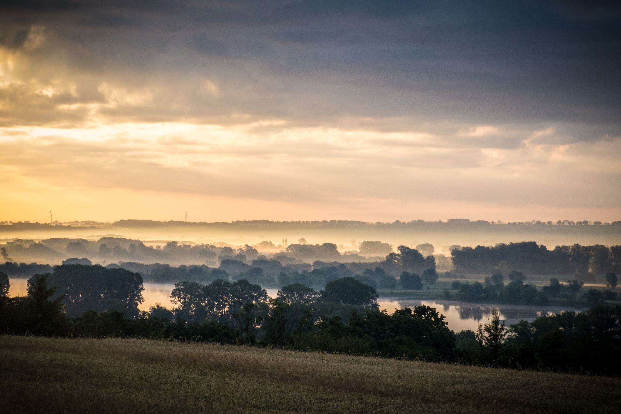
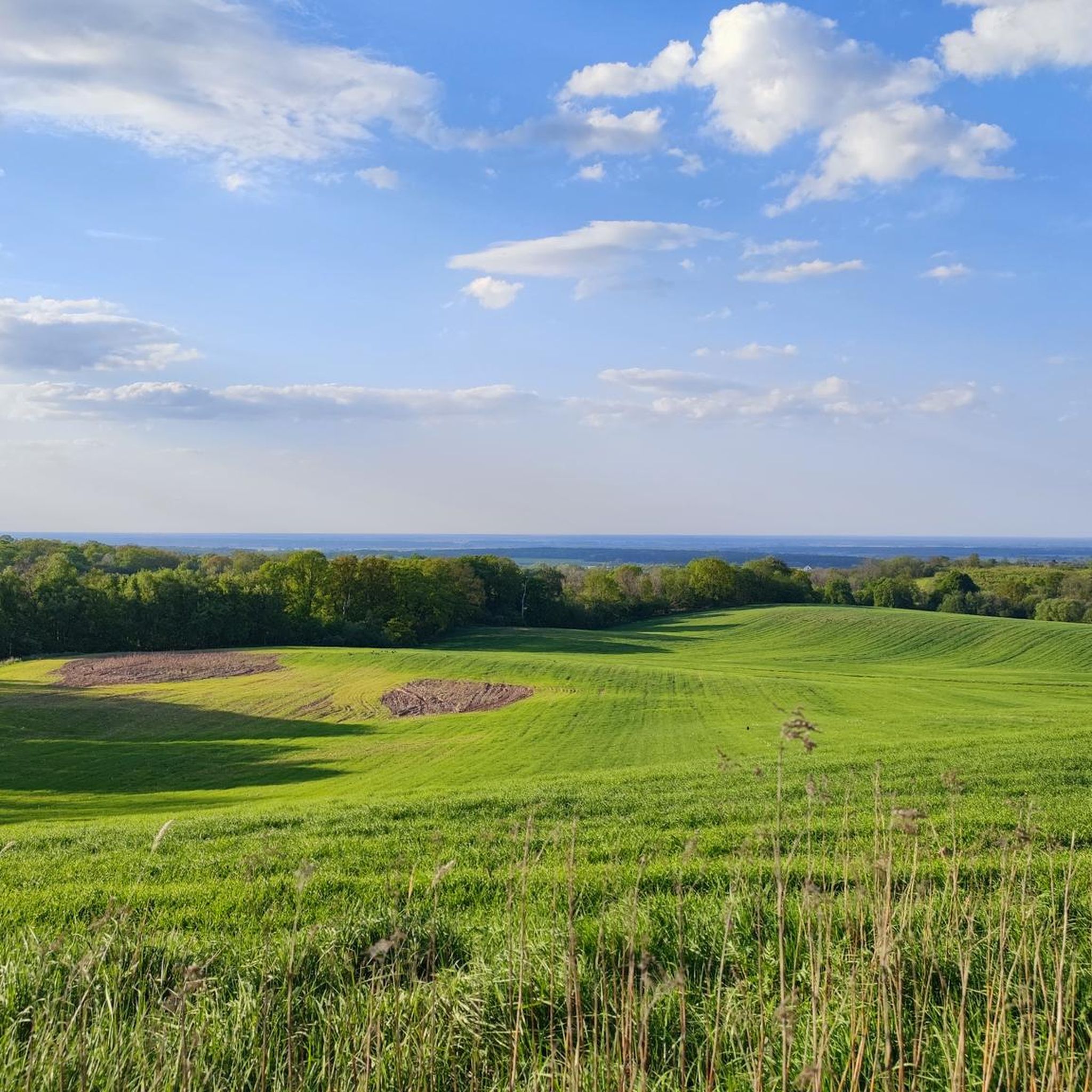
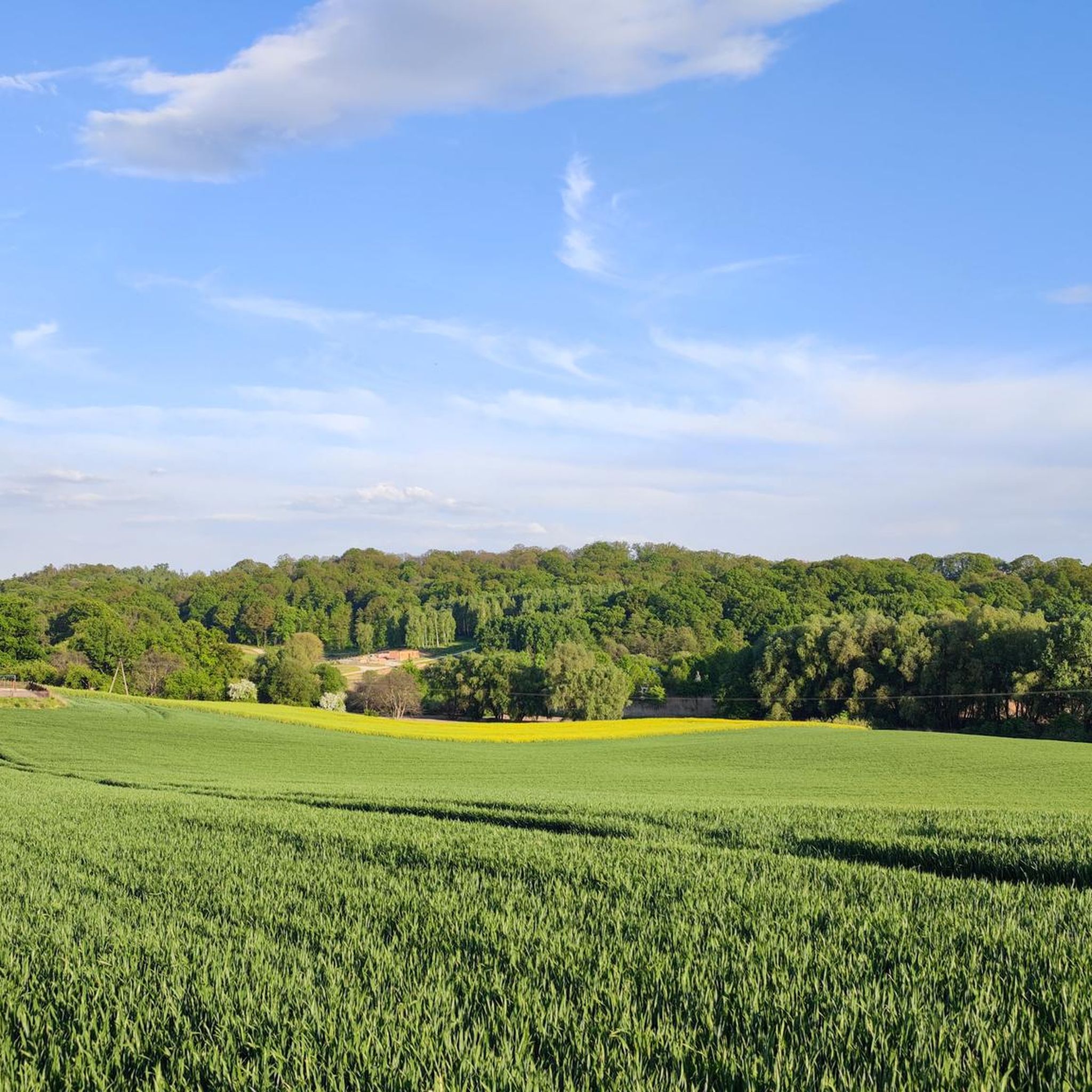
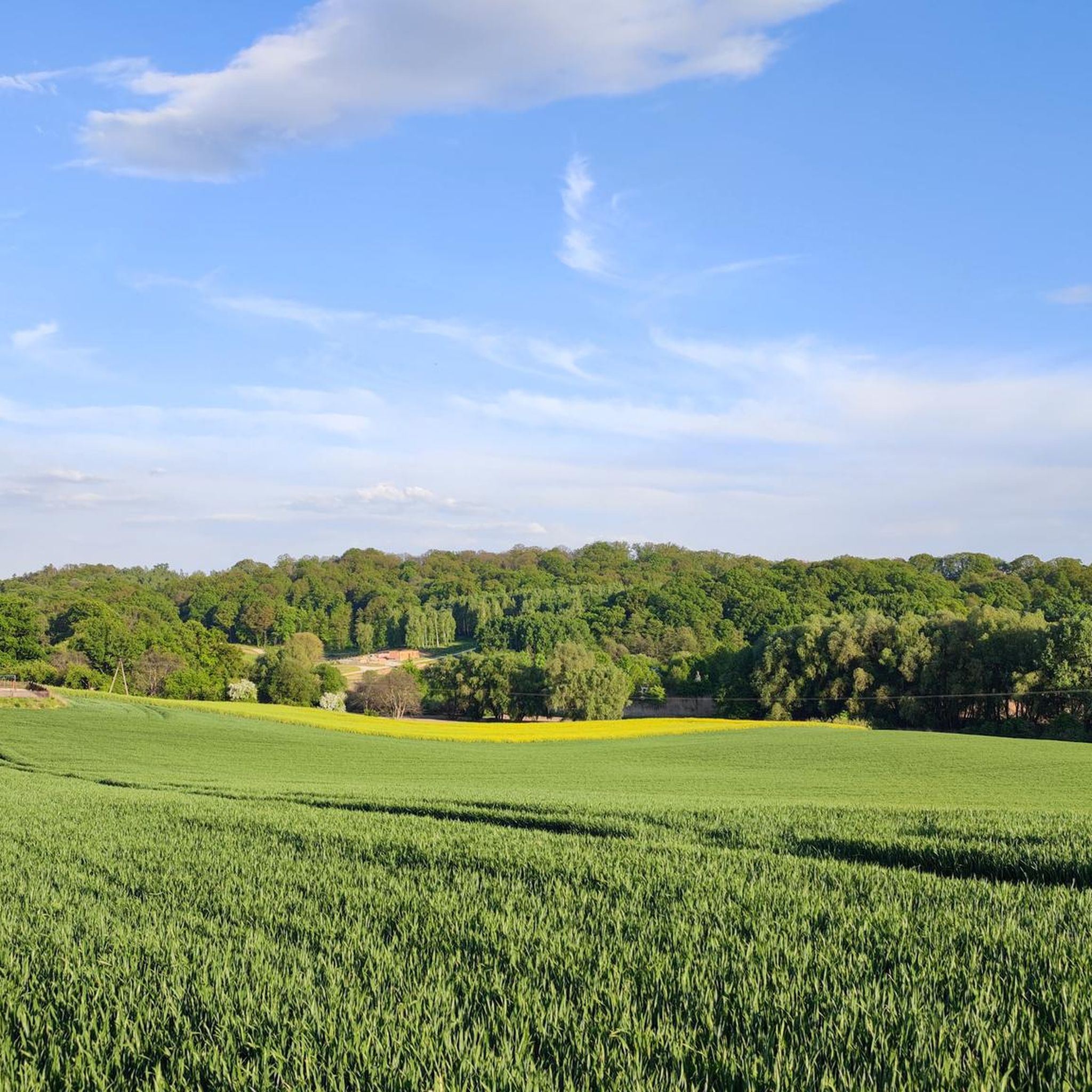
Hiking trails around Gmina Trzebnica traverse the Trzebnickie Hills, also known as the Kocie Góry (Cat Mountains), a region characterized by moraine hills, varied terrain, and deep ravines. These hills feature loess sediments and erratic boulders, with Ciemna Góra reaching 258.3 meters above sea level as the highest point. The landscape also includes the Las Bukowy (Beech Forest) and revitalized Trzebnica Ponds, offering diverse natural environments for outdoor activities.
Best hiking trails in Gmina Trzebnica
- The most popular hiking route…
Last updated: July 18, 2026
5.0
(2)
38
hikers
6.44km
01:51
140m
140m
Easy hike. Great for any fitness level. Easily-accessible paths. Suitable for all skill levels.
5.0
(2)
8
hikers
7.82km
02:05
90m
90m
Moderate hike. Good fitness required. Easily-accessible paths. Suitable for all skill levels.

Sign up for free
28
hikers
3.93km
01:02
40m
40m
Easy hike. Great for any fitness level. Easily-accessible paths. Suitable for all skill levels.
5.0
(4)
11
hikers
7.29km
01:58
90m
90m
Easy hike. Great for any fitness level. Easily-accessible paths. Suitable for all skill levels.
6
hikers
4.19km
01:07
40m
40m
Easy hike. Great for any fitness level. Easily-accessible paths. Suitable for all skill levels.
Get access to more routes and recommendations from other explorers.
Sign up for free
Already have an account?
Our route recommendations are based on thousands of hikes, rides, and runs completed by other people on komoot.
Start today with a free account
Your next adventure awaits.
Login or Signup
Popular around gmina gmina Trzebnica

Other adventures around gmina gmina Trzebnica

Tips from the Community

The inscription under the pillory reads: "A pillory stood on the Trzebnica market square until the 18th century for the public punishment of criminals. In 1729, Abbess Zofia Korycińska built a new town hall here with an inscription on the front: 'Through the prudent use of the sword, justice will be ensured for the innocent'.
0
0

I recommend dropping by the TAVERNA restaurant for a delicious dinner or a beer at affordable prices 😊
1
0

A nice place for a walk with a view of Trzebnica and the surrounding area. You can also ride a mountain bike, there are a few paths and driveways around.
1
0

a very intimate, nicely maintained (at least from the outside) small church, due to its size it is more like a chapel, in the vicinity of a beech park and a park near the water park in Trzebnica
1
0

Meteorological column (Wettersäule). Manufactured by the Hamburg-based company Annoncen-Uhr AG. Meteorological instruments were placed inside the decorative metal kiosk: a thermometer, hygrometer, and barometer. The columns were usually erected in larger cities and spa towns, in areas frequently visited by walkers. To date, about ten of them have survived in Poland (out of several dozen installed). In recent years, the column has been renovated. An ingenious solution (probably not original) is the placement of a statue of a saint inside, serving as a support for the measuring instruments. (https://fotopolska.eu/82735,obiekt.html?map_z=19)
0
0
The park next to the water park is very aesthetic and offers the opportunity for a light walk, and next to the Bukowy park, you can try a slightly more demanding bike ride;
0
0

A large facility, photographed here from the side bike path. The original monastery buildings were erected in the early 13th century. after extensive reconstruction around 1700, the monastery received its late baroque appearance.
0
0
Frequently Asked Questions
What kind of landscape can I expect when hiking in Gmina Trzebnica?
Gmina Trzebnica is defined by the picturesque Trzebnickie Hills, also known as the Kocie Góry (Cat Mountains). These moraine hills feature varied terrain, significant slopes, and deep, steep-sided ravines. You'll encounter loess sediments, erratic boulders, and dense beech forests, particularly in areas like the Las Bukowy. The highest point, Ciemna Góra, offers expansive views.
Are there easy hiking trails suitable for beginners or casual walkers?
Yes, Gmina Trzebnica offers many easy routes. For instance, the Forest Church – Zdrojowy Pond loop from Trzebnica is an easy 3.4-mile (5.5 km) trail that explores the area around the Forest Church and a local pond. Another gentle option is the Trzebnica Town Hall – Trzebnica pillory loop from Trzebnica, which is 2.8 miles (4.5 km) and takes you through the town's historical points.
Are there any circular hiking routes in Gmina Trzebnica?
Many of the trails in Gmina Trzebnica are designed as loops, offering convenient circular walks. A popular moderate option is the Forest Church – Kapliczne Hill loop from Trzebnica, which is 4.9 miles (7.8 km) and provides views from Kapliczne Hill. For a shorter, easy loop, consider the Forest Church loop from Trzebnica, covering 3.6 miles (5.8 km) through local woodlands.
What natural attractions or points of interest can I see along the trails?
Beyond the Trzebnickie Hills themselves, you can explore the serene Trzebnica Ponds and the Las Bukowy (Beech Forest), which includes a nature reserve. Interesting geological features like Piekielny Wąwóz (Hell's Gorge) and Wąwóz lessowy pod Taczowem Małym (Loess ravine near Taczów Mały) also offer unique sights. You might also encounter highlights such as Szczodre Park – Ponds, Loungers, and Frog Sculpture or the Dirt Road Between Żabiniec and Trzaśniówka Ponds.
Are there any historical or cultural sites to visit while hiking?
Yes, Gmina Trzebnica has significant historical and cultural sites. The Sanctuary of Saint Jadwiga of Silesia is a prominent spiritual landmark. Additionally, an Archaeological Park on Winna Góra offers a cultural dimension to the natural surroundings. You can also find the Swedish Stone (Kamień Szwedzki), a natural monument with historical ties.
Are there good viewpoints along the hiking routes in Gmina Trzebnica?
Yes, the Trzebnickie Hills offer several spots with panoramic views. Winna Góra (also known as Cat Mountain) provides magnificent vistas overlooking the town of Trzebnica. Ciemna Góra, the highest peak, offers expansive views towards the Sudetes. The Forest Church – Widok Hill loop from Trzebnica is an easy 3.6-mile (5.8 km) route that specifically includes Widok Hill, known for its views.
What do other hikers say about the trails in Gmina Trzebnica?
The hiking routes in Gmina Trzebnica are highly rated by the komoot community, with an average score of 4.3 stars from over 50 reviews. Hikers often praise the varied terrain, the peaceful atmosphere of the beech forests, and the well-maintained paths that cater to different ability levels.
How many hiking trails are there in Gmina Trzebnica?
There are nearly 30 hiking trails available in Gmina Trzebnica, ranging from easy walks around ponds to moderate climbs in the hills. This extensive network provides diverse options for exploring the region's natural beauty.
Is Gmina Trzebnica accessible by public transport for hikers?
Gmina Trzebnica is known for its proximity to Wrocław, making it an accessible escape. While specific public transport routes to trailheads vary, the town of Trzebnica itself is well-connected, and many trails start directly from or near the town center, allowing for easier access to the trail network.
Are there any specific trails that are particularly good for families with children?
For families, the easier, shorter loop trails are often ideal. The Forest Church – Zdrojowy Pond loop from Trzebnica is a good option, being relatively short and easy. The modernized paths within the Las Bukowy (Beech Forest) are also suitable for walking with children, offering a pleasant and safe environment.
What is the best time of year to go hiking in Gmina Trzebnica?
Gmina Trzebnica offers appealing hiking conditions throughout much of the year. Spring brings blooming flora to the forests and hills, while autumn showcases vibrant fall colors, especially in the beech forests. Summer is also popular, but hikers should be prepared for warmer temperatures. The varied terrain means there are options for different seasons.
Most popular routes around gmina gmina Trzebnica
Most popular attractions around gmina gmina Trzebnica

Get inspired with the komoot mobile app


Explore more
Browse the best Hikes in other regions.
