The best walks and hikes around gmina Czernichów
4.4
(128)
2,080
hikers
127
hikes
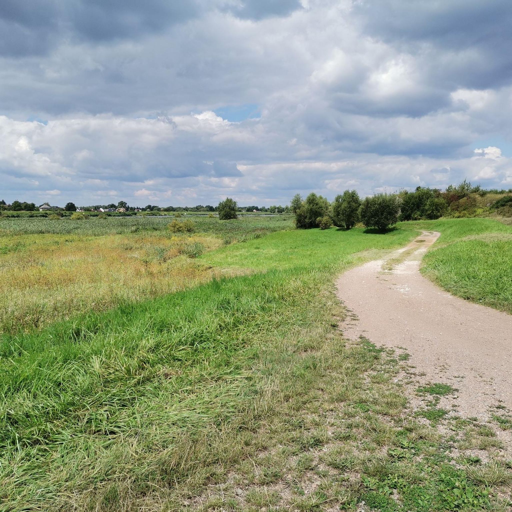
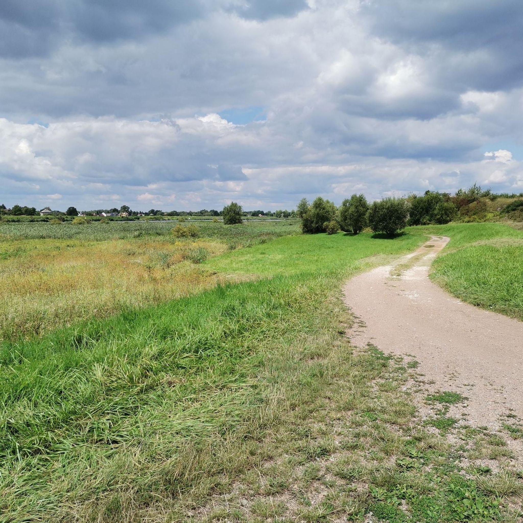
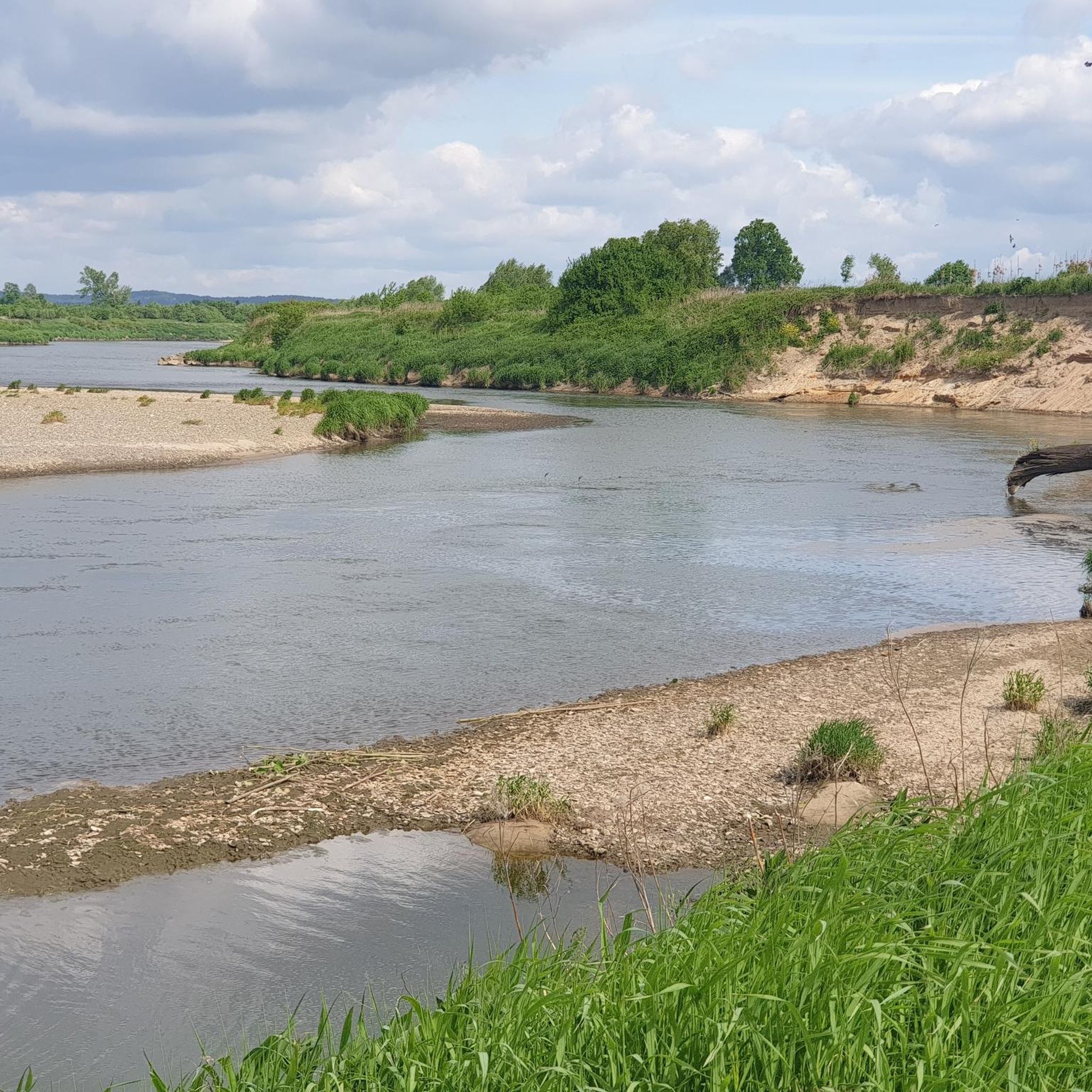
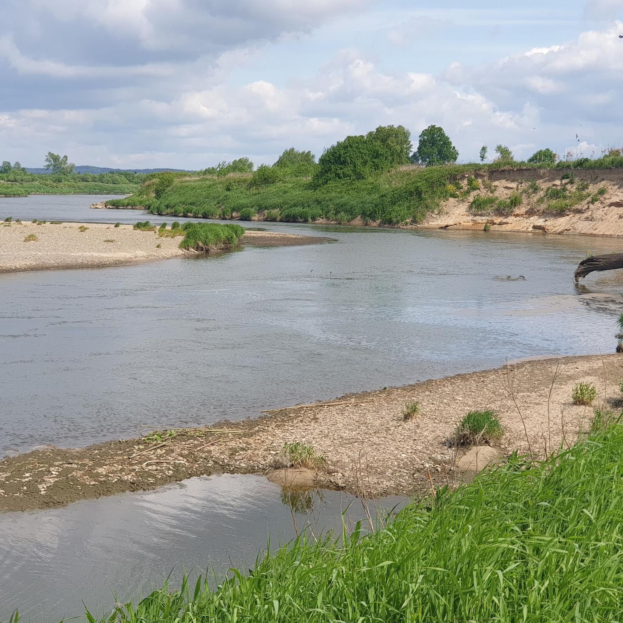
Hiking around gmina Czernichów is characterized by its location on the Vistula River, surrounded by limestone formations and forested hills. The region includes parts of the Bielany-Tyniec Landscape Park and the Rudawy Landscape Park, offering diverse natural beauty. Extensive forest complexes are found on Chełm mountain and near Rusocice, Przeginia Narodowa, and Duchowna. The "Kajasówka" nature reserve in Przeginia Duchowna features unique limestone outcrops and a didactic path.
Best hiking trails around gmina Czernichów
- The most popular hiking route is…
Last updated: May 16, 2026
4.8
(17)
92
hikers
4.91km
01:21
80m
80m
Easy hike. Great for any fitness level. Easily-accessible paths. Suitable for all skill levels.
18
hikers
2.28km
00:39
60m
60m
Easy hike. Great for any fitness level. Easily-accessible paths. Suitable for all skill levels.

Sign up for free
3
hikers
1.19km
00:19
10m
10m
Easy hike. Great for any fitness level. Easily-accessible paths. Suitable for all skill levels.
5.0
(4)
62
hikers
Easy hike. Great for any fitness level. Easily-accessible paths. Suitable for all skill levels.
4.0
(3)
16
hikers
6.58km
01:49
110m
110m
Easy hike. Great for any fitness level. Easily-accessible paths. Suitable for all skill levels.
Get access to more routes and recommendations from other explorers.
Sign up for free
Already have an account?
Our route recommendations are based on thousands of hikes, rides, and runs completed by other people on komoot.
Start today with a free account
Your next adventure awaits.
Login or Signup

Tips from the Community

A pleasant route through the gorge for walking or cycling. Interspersed with downhill trails.
0
0

The obvious start of the Kajasówka educational trail - information about the trail and reserve thanks to the forestry office, benches and a table for a picnic and a parking space - what more could you want? As my cousin says, off the cuff, mate.
0
0
Although Butryk is undoubtedly the biggest attraction of the Kajasówka Reserve, the Kajasówka peak itself is also interesting. Its ridge is a characteristic wedge, and the views of the surrounding area are beautiful (if you stick out a bit through the trees at the top).
0
0
Listen, nice view! The most important point of the Kajasówka Reserve, Butryk rises to a height of 320m above sea level. Beautiful panorama from here - in good weather you can see Babia Góra. Great rocks and a beautiful place.
0
0
You walk through the beautiful Mnikowska Valley Reserve. From Skały it is an extremely lovely walk, accompanied by huge rocks here. This gorge is only 2km long, so the walk is easy. The paths are such that you can even take children with a pram here - there are also many tables and picnic areas set up along the way. Most people also head here to the painting of the Virgin Mary on the rocks, which is just 5 minutes away.
0
0
This painting of the Virgin Mary on a rock was painted in 1863 by Walery Eljasz Radzikowski, a local mountaineer at the time. Below is a chapel where Karol Wojtyła once prayed. It is easy to climb up - there are handrails - and the views from the top are fantastic.
0
0
Here is the entrance to the beautiful Zimny Dół reserve - with beautiful rock formations. There is an information board at the entrance - a nature trail leads through the reserve, short but beautiful.
0
0
Zimny Dół nature reserve is not large and the nature trail here is short, about 1km, but it winds around and between multi-shaped rocks, many covered with ivy - really beautiful, and worth a visit.
0
0
Frequently Asked Questions
What kind of terrain can I expect on hiking trails in gmina Czernichów?
Gmina Czernichów offers a diverse landscape for hikers. You'll find trails along the Vistula River, through distinctive limestone formations, and extensive forested hills, particularly on Chełm mountain and near Rusocice, Przeginia Narodowa, and Duchowna. The region also includes parts of the Bielany-Tyniec and Rudawy Landscape Parks, providing varied natural beauty. For unique geological interest, areas like the "Kajasówka" nature reserve feature limestone outcrops.
Are there any easy hiking trails suitable for families or beginners?
Yes, gmina Czernichów has many easy trails. Out of over 100 routes, 73 are classified as easy. A great option for families or those seeking a gentle walk is the Kajasówka didactic trail: Ore Mountains Landscape Park, which explores unique geological features. Another accessible choice is the Rezerwat Dolina Potoku Rudno loop, offering a pleasant walk through the Rudno Stream Valley Reserve. The "Kajasówka" nature reserve itself has a designated didactic path that is easily accessible.
What interesting natural attractions or landmarks can I see along the hiking trails?
The region is rich in natural and man-made attractions. You can explore unique limestone outcrops in areas like Rusocice and the "Kajasówka" nature reserve. For scenic views, consider trails leading to Góra Żar (765 m) or Czupel Peak (933 m) in the Beskid Mały mountain range. Additionally, you might encounter the historic Porąbka Dam on the Soła River or enjoy panoramic views from View of Zakole. The Tyniec Benedictine Abbey is also a notable nearby landmark.
Are there any circular hiking routes in gmina Czernichów?
Yes, there are several circular routes available. For example, the Rezerwat Dolina Potoku Rudno loop is an easy 3.6 km path. A moderate option is the Las Bojarowicza loop from gmina Czernichów, which is 12.2 km long and takes about 3 hours 13 minutes, leading through extensive forest complexes. Another moderate circular hike is the Skały Gaudynowskie loop from Rezerwat Dolina Potoku Rudno.
What is the best time of year to go hiking in gmina Czernichów?
Gmina Czernichów offers hiking opportunities throughout much of the year. Spring and autumn generally provide pleasant temperatures and beautiful scenery, with spring bringing blooming flora and autumn showcasing vibrant fall colors in the extensive forests. Summer is also popular, though trails can be busier. Winter hiking is possible, especially on lower elevation trails, but requires appropriate gear and checking local conditions.
Are dogs allowed on the hiking trails in gmina Czernichów?
Generally, dogs are welcome on many hiking trails in gmina Czernichów, especially in less restricted forest areas. However, specific rules may apply within protected areas like nature reserves or landscape parks. It's always recommended to keep dogs on a leash and ensure you clean up after them to preserve the natural environment for everyone.
Where can I find parking near the trailheads in gmina Czernichów?
Parking availability varies by trailhead. Many popular starting points for trails, especially those leading to nature reserves or significant natural features, often have designated parking areas. For specific routes, it's advisable to check the route details on komoot or local signage, as some smaller trailheads might have limited parking.
Can I reach hiking trails in gmina Czernichów using public transport?
While gmina Czernichów is located southwest of Kraków, public transport options to specific trailheads might be limited. Buses connect some of the larger villages within the gmina. For more remote starting points, a combination of public transport to a central village and then a short taxi ride or a longer walk might be necessary. Planning your route in advance and checking local bus schedules is recommended.
Are there any cafes or places to eat near the hiking trails?
While the focus of gmina Czernichów is its natural beauty, you can find amenities in the larger villages. For example, Bistro Róża is listed as a nearby cafe. For more substantial meals, you'll likely find restaurants in the main towns within or adjacent to the gmina. For longer hikes, especially in more remote forest areas, it's best to pack your own snacks and drinks.
What do other hikers enjoy most about hiking in gmina Czernichów?
The area is highly rated by the komoot community, with an average score of 4.5 stars from over 100 reviews. Reviewers often praise the diverse landscapes, from river valleys to forested hills, and the well-maintained network of trails. The unique geological features, such as limestone outcrops in reserves like Kajasówka, are also frequently highlighted as points of interest.
How many hiking trails are there in gmina Czernichów?
Gmina Czernichów offers a wide selection of routes for hikers. There are over 100 hiking trails available, catering to various difficulty levels and preferences.
Most popular routes around gmina Czernichów
Most popular attractions around gmina Czernichów

Get inspired with the komoot mobile app


Explore more
Browse the best Hikes in other regions.
