The best running trails around Słopnice
4.9
(10)
1,115
runners
16
runs
Jogging routes around Słopnice are set within Poland's Carpathian Mountains, specifically the Beskid Wyspowy range, known for its "island mountains." The region features varied elevations, including peaks like Mogielica, the highest at 1170 meters, and dense forests. These natural features provide a diverse landscape for running, from challenging mountain trails to more accessible paths. The terrain includes significant ascents and descents, characteristic of a mountainous environment.
Best jogging routes around Słopnice
- The most popular jogging route is Chata Hubert loop from gmina Słopnice, a 13.1 miles (21.1 km) trail that takes 2 hours 42 minutes to complete. This difficult route features significant elevation changes through forested areas.
- Another top favourite among local runners is Łopień Wschodni (Rydznik) – Łopień loop from Limanowa County, a difficult 15.6 miles (25.0 km) path. This route traverses varied terrain, including ascents to viewpoints within the Beskid Wyspowy.
- Local runners also love the Mogielnica – Polana Stumorgowa Shelter loop from Hala, a 5.9 miles (9.6 km) trail leading through mountain forests and offering views towards Mogielica, often completed in about 1 hour 18 minutes.
- Jogging around Słopnice is defined by "island mountains," dense forests, and varied elevations. The network offers options for different ability levels, with a focus on more challenging mountain running.
- The routes in Słopnice are highly rated by the komoot community with an average score of 5.0 stars from more than 10 reviews. More than 900 runners have used komoot to explore Słopnice's varied terrain.
Last updated: October 4, 2026
5.0
(1)
26
runners
20.8km
02:41
760m
760m
Hard run. Very good fitness required. Mostly paved surfaces. Suitable for all skill levels.
30
runners
9.57km
01:18
380m
380m
Hard run. Very good fitness required. Mostly paved surfaces. Suitable for all skill levels.

23
runners
7.27km
01:03
310m
310m
Hard run. Very good fitness required. Mostly paved surfaces. Suitable for all skill levels.
39
runners
22.1km
02:38
690m
690m
Hard run. Very good fitness required. Mostly paved surfaces. Suitable for all skill levels.
5.0
(1)
12
runners
23.5km
03:15
1,060m
1,060m
Hard run. Very good fitness required. Mostly paved surfaces. Suitable for all skill levels.
Get access to more routes and recommendations from other explorers.
Already have an account?
Our route recommendations are based on thousands of hikes, rides, and runs completed by other people on komoot.
Start today with a free account
Your next adventure awaits.
Tips from the Community


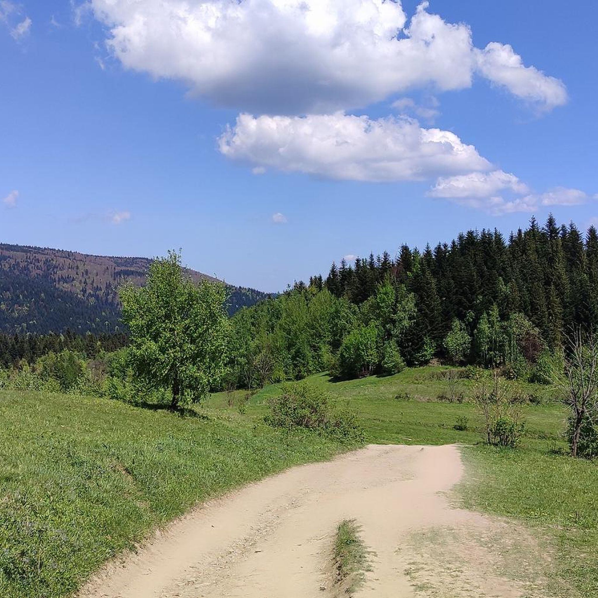
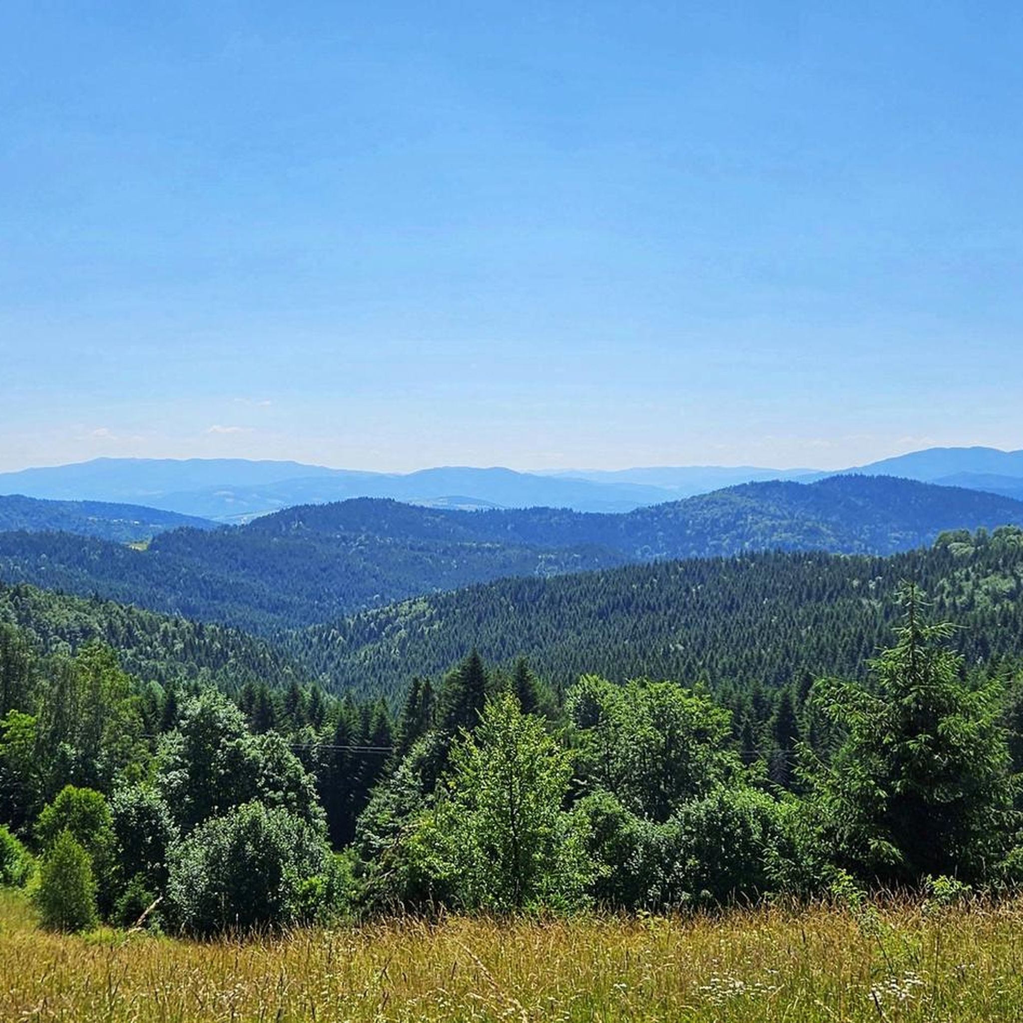
Stumorgowa Polana is a picturesque clearing located in the Mogielica region, one of the best viewing spots in the Beskid Wyspowy. In good weather, you can admire the panorama of the Tatras, Gorce and nearby peaks. The clearing is located on popular hiking trails, so it is great for a break during a hike, especially since there are benches and a place to rest. In the winter season, cross-country skiing trails run through here, so the area is attractive all year round. It is worth taking a blanket or sleeping mat with you if you are planning a longer stop, because the views really encourage relaxation.
1
0
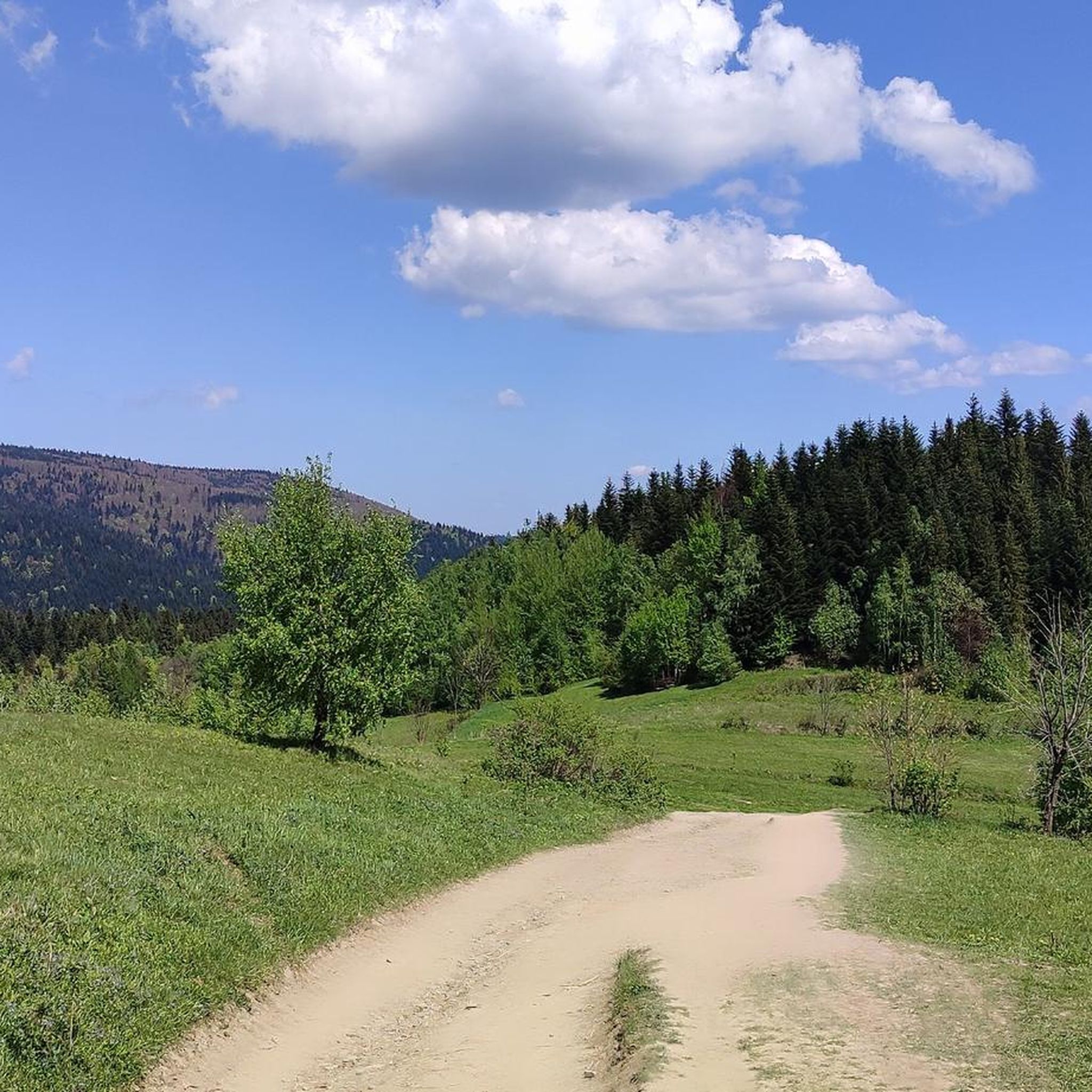
Mogielnica is the highest peak of the Beskid Wyspowy, measuring 1171 m above sea level, located near the town of Słopnice. At the top there is a viewing tower, from which, in good weather, you can admire the panorama of the Tatras, Gorce and the entire area. The trails leading to Mogielnica are well marked, but the steep climbs can be demanding, so it is worth wearing solid trekking shoes. The most popular routes start from Słopnice, and there are rest areas along the route, ideal for a short stop. This is a great destination for people who like mountain running with the reward of beautiful views.
1
0

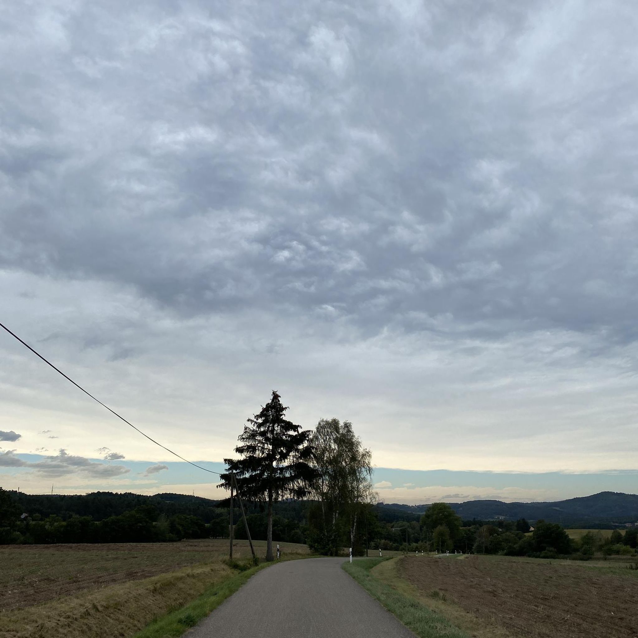
A viewpoint with a 3.5-meter cross erected in 2004 to commemorate Karol Wojtyła's mountain hikes. From this place there is a stunning view of the Tatras, which can be admired on a clear day.
1
0

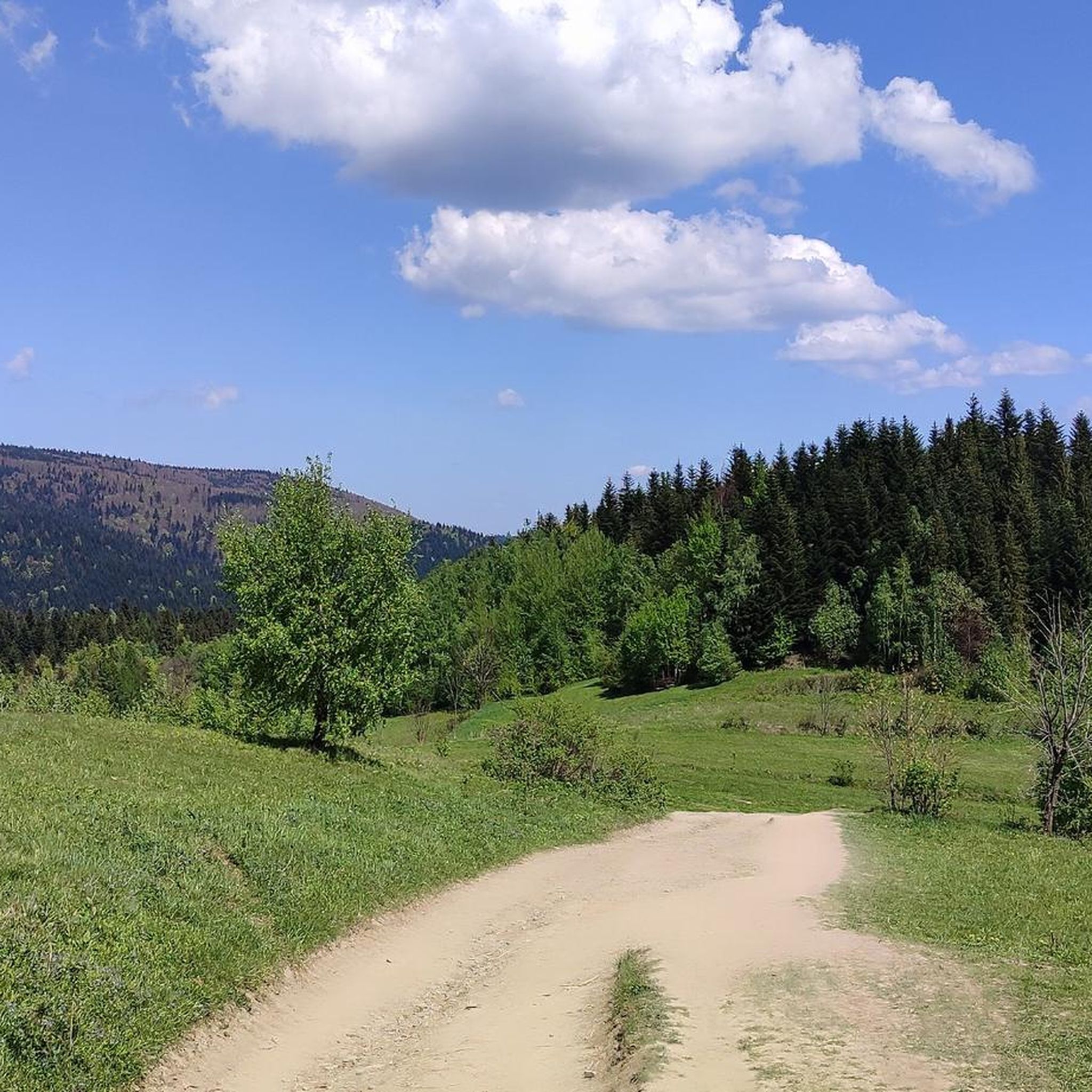
A clearing with good visibility of the surrounding mountains.
1
0

A picturesque cottage in the Łopień massif near the Łopień middle peak
0
0

A good place for camping, rest or overnight. Beautiful views. A shepherd's hut is being built in the area.
0
0
Frequently Asked Questions
What kind of terrain can I expect on running routes around Słopnice?
The Słopnice region, nestled in the Beskid Wyspowy range of the Carpathian Mountains, is characterized by its 'island mountains' and dense forests. This means you'll encounter varied elevations, including significant ascents and descents, making for challenging mountain running. The landscape offers beautiful scenic routes through natural environments.
Are there any easy or moderate jogging routes in Słopnice for beginners or those seeking a less strenuous run?
While the majority of running routes around Słopnice are considered difficult due to the mountainous terrain, there are a few moderate options available. For example, the guide features two moderate routes that offer a good balance of challenge and accessibility, though no easy routes are specifically listed. These moderate paths still provide a great way to experience the region's natural beauty without the most extreme climbs.
What are some notable landmarks or viewpoints I can see along the running trails in Słopnice?
Many running routes in Słopnice offer stunning views and pass by significant landmarks. You can find trails leading to the Observation Tower on Mogielica, the highest peak in Beskid Wyspowy, which provides panoramic vistas of the Tatra Mountains and other ranges. Other notable points include the Marshal Rydz-Śmigły Pass, a popular starting point with impressive views, and summits like Gorc Summit and Śnieżnica Summit.
Are there any circular running routes available in Słopnice?
Yes, many of the running routes around Słopnice are designed as circular loops, allowing you to start and finish in the same location. An example is the challenging Chata Hubert loop from gmina Słopnice, which covers 13.1 miles through forested areas. Another option is the Łopień Wschodni (Rydznik) – Łopień loop from Limanowa County, a 15.6-mile path traversing varied terrain.
What do other runners say about their experience jogging in Słopnice?
The running routes in Słopnice are highly regarded by the komoot community, boasting an average rating of 5.0 stars from over 10 reviews. Runners frequently praise the diverse and scenic landscapes, the challenge of the 'island mountains,' and the opportunity to explore dense forests and panoramic viewpoints. The area's natural beauty and well-developed trail network are often highlighted as key attractions.
Can I find running routes that are suitable for families with children in Słopnice?
While many routes in Słopnice are challenging, the region does offer options that can be enjoyed by families, particularly those with older children or those accustomed to hiking. The varied terrain includes both demanding mountain trails and more leisurely paths. Look for routes described as 'gentler options' in local information, which might be more suitable for a family outing combining physical activity with nature appreciation.
Are dogs allowed on the running trails around Słopnice?
Generally, dogs are welcome on trails in the Beskid Wyspowy region, including around Słopnice, especially in forested areas. However, it's always advisable to keep them on a leash, particularly in nature reserves or areas with wildlife, and to check for any specific local regulations or signage along your chosen route. Ensure your dog is fit enough for the varied and often challenging terrain.
What is the best time of year to go jogging in Słopnice?
The best time for jogging in Słopnice largely depends on your preference for weather and trail conditions. Spring and autumn offer pleasant temperatures and beautiful scenery with changing foliage. Summer is also popular, though trails can be busier and temperatures higher. Winter running is possible, but be prepared for snow and ice, especially at higher elevations, which can make routes significantly more challenging.
Are there any specific permits or fees required to use the jogging routes in Słopnice?
Based on available information, there are no specific permits or fees required for general access to the public jogging routes and trails in the Słopnice area of the Beskid Wyspowy. However, always be mindful of private property and any posted signs, especially if venturing off marked trails. Some specific attractions or facilities might have entrance fees.
Are there options for parking near the trailheads for running routes in Słopnice?
Yes, many popular trailheads and starting points for running routes in Słopnice, especially those leading to prominent peaks or passes like the Marshal Rydz-Śmigły Pass, typically have designated parking areas. It's recommended to check specific route details or local maps for precise parking information before your run, particularly for less frequented trails.
How long do the running trails in Słopnice typically take to complete?
The duration of running trails in Słopnice varies significantly depending on the route's length, elevation gain, and your pace. For instance, the Mogielnica – Polana Stumorgowa Shelter loop from Hala, a 5.9-mile trail, can be completed in about 1 hour 18 minutes. Longer, more difficult routes like the Mogielnica – Polana Stumorgowa Shelter loop from Hala (20.8 km) might take over 2 hours 30 minutes. Always check the estimated duration for your chosen route.
Can I access the running routes in Słopnice using public transport?
Słopnice is a village, and while public transport options like local buses might connect it to larger towns in the Limanowa County, direct access to all trailheads via public transport might be limited. It's advisable to research local bus schedules to Słopnice or nearby villages and plan your route accordingly. Some popular starting points might be more accessible than others.
Most popular routes around Słopnice
Most popular attractions around Słopnice

Get inspired with the komoot mobile app


Explore more
Browse the best Running Trails & Routes in other regions.
