The best running trails around gmina Sobienie-Jeziory
4.7
(11)
443
runners
108
runs
Jogging routes around gmina Sobienie-Jeziory traverse a diverse landscape characterized by numerous lakes, extensive protected areas, and large forest complexes. The region features characteristic elongated oxbow lakes, such as Jezioro Dziecinowskie and Jezioro Piwonińskie, offering tranquil lakeside running. Expansive natural spaces are found within the Nadwiślański Protected Landscape Area and the Całowanie Swamp, a significant peat bog with accessible trails. These varied ecosystems provide a scenic backdrop for running, ranging from flat paths to routes with gentle elevation changes.
Best jogging routes around gmina Sobienie-Jeziory
- The most popular jogging route is Wieża Bramna loop from Góra Kalwaria, a 10.2 miles (16.5 km) trail that takes 1 hour 47 minutes to complete. This route offers a challenging run with varied terrain.
- Another top favourite among local runners is T-34 Tank "Rudy" Monument loop from Góra Kalwaria, a moderate 6.5 miles (10.5 km) path. This route provides a mix of historical interest and natural scenery.
- Local runners also love the Running loop from Moczydłów, a 3.5 miles (5.6 km) trail leading through local woodlands, often completed in about 35 minutes.
- Jogging around gmina Sobienie-Jeziory is defined by tranquil lake environments, unique peat bogs, and diverse forest ecosystems. The network offers options for easy, moderate, and difficult runs, catering to various fitness levels.
- The routes in gmina Sobienie-Jeziory are highly rated by the komoot community with an average score of 4.6 stars from over 5 reviews. More than 300 runners have used komoot to explore gmina Sobienie-Jeziory's varied terrain.
Last updated: November 4, 2026
22
runners
4.05km
00:26
60m
60m
Easy run. Mostly paved surfaces.
18
runners
16.2km
01:45
100m
100m
Hard run. Very good fitness required. Mostly paved surfaces.

10
runners
8.64km
00:57
40m
40m
Moderate run. Good fitness required. Mostly paved surfaces.
6
runners
Moderate run. Good fitness required. Mostly paved surfaces.
6
runners
Moderate run. Good fitness required. Mostly paved surfaces.
Get access to more routes and recommendations from other explorers.
Already have an account?
Our route recommendations are based on thousands of hikes, rides, and runs completed by other people on komoot.
Start today with a free account
Your next adventure awaits.
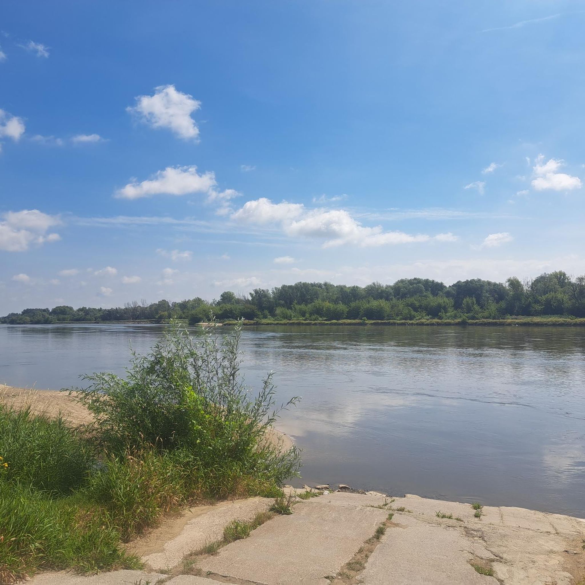
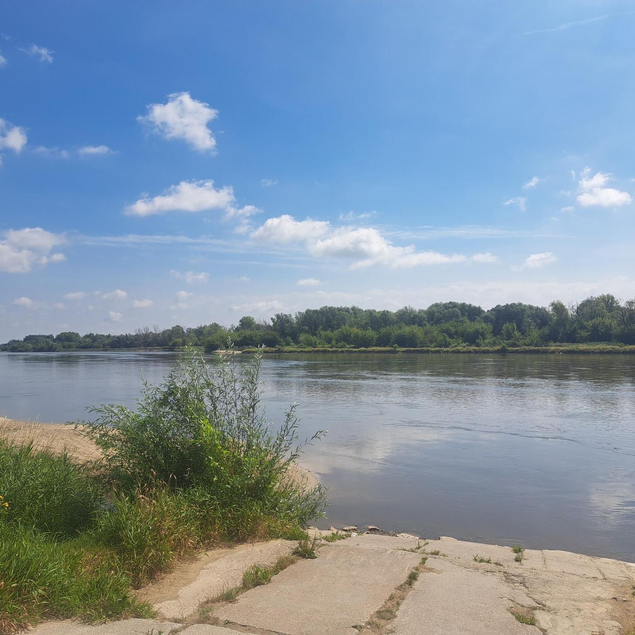
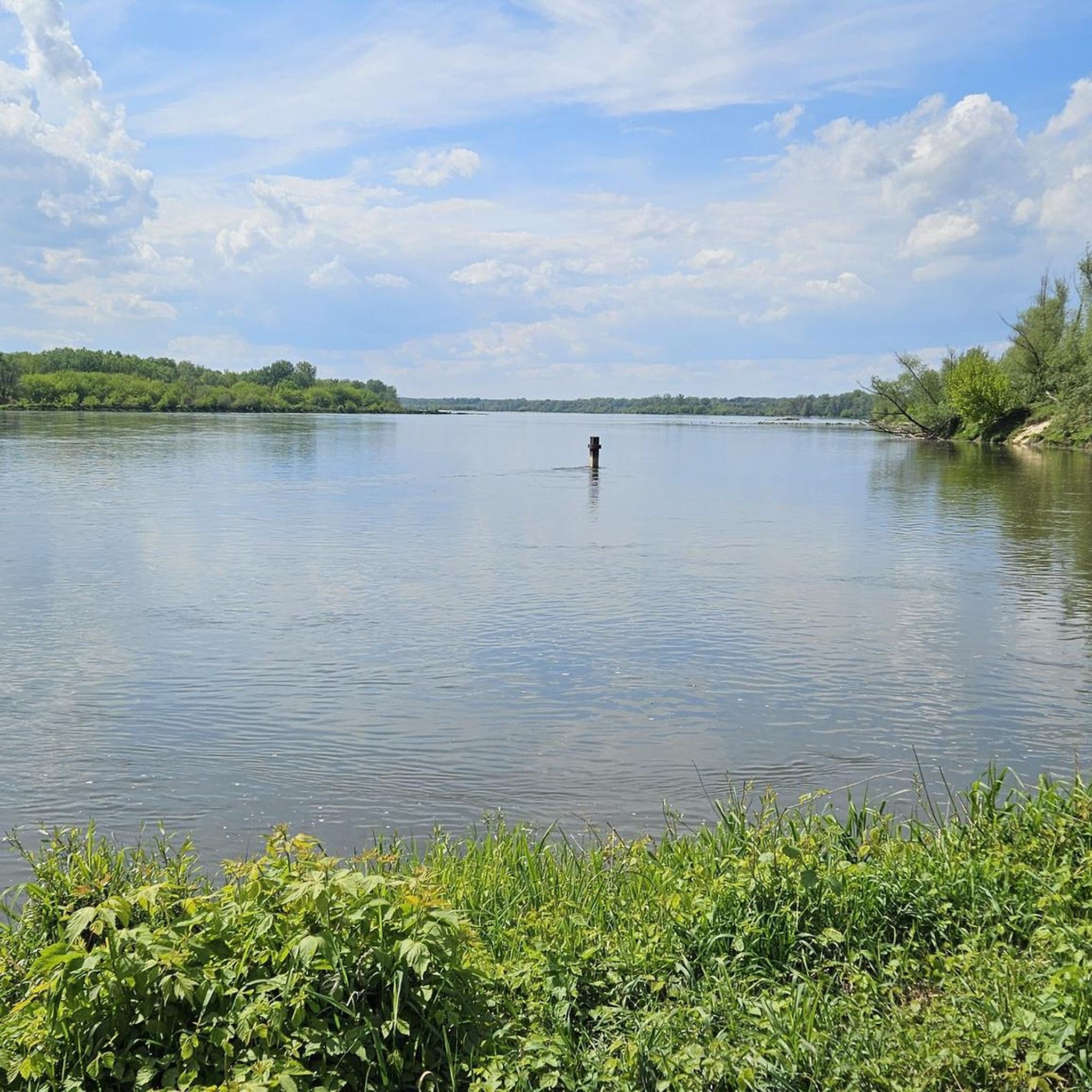
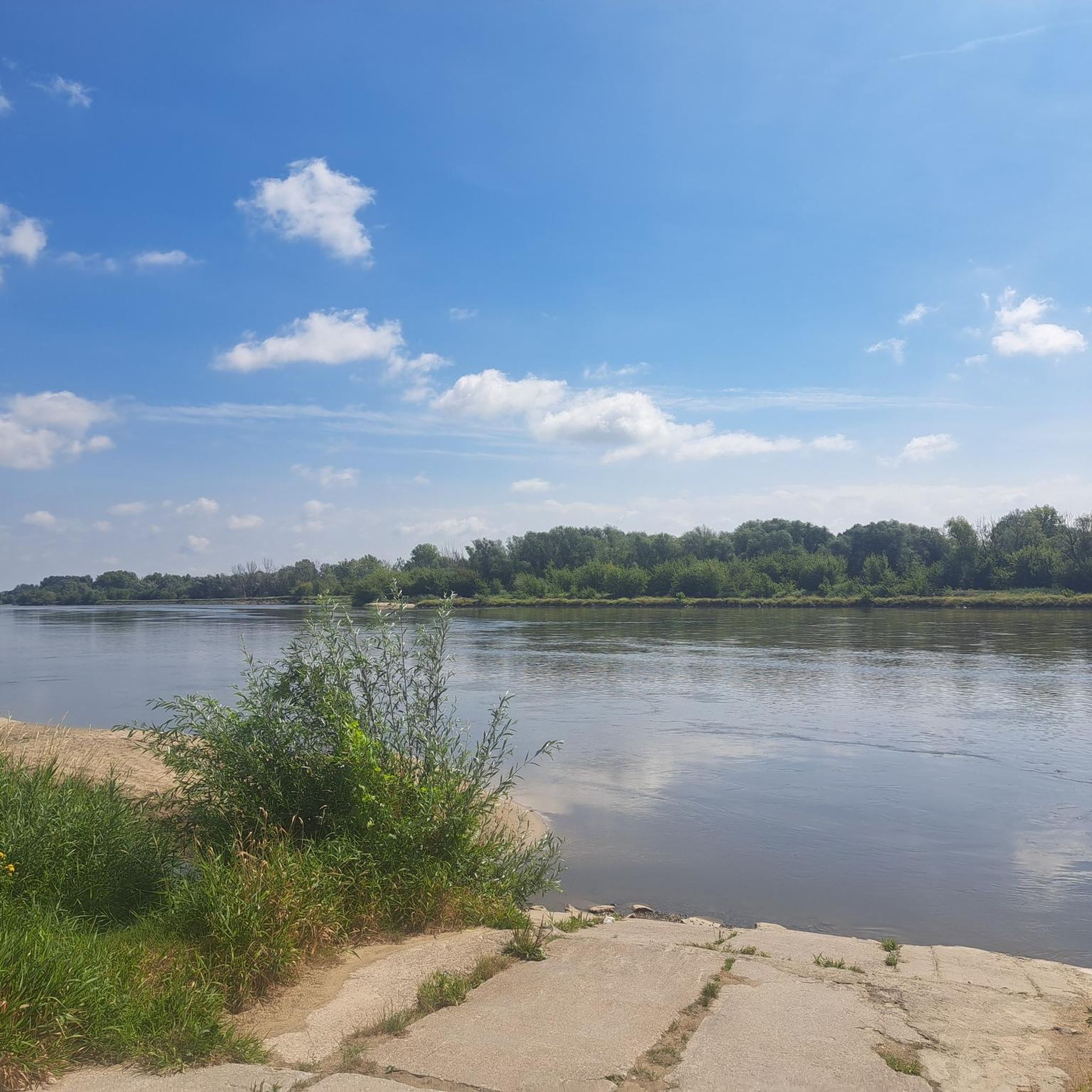

Tips from the Community

Currently (10.2026) under renovation
0
0

The Church of the Transfiguration of the Lord in Czersk is one of the oldest churches in Masovia. It was built at the turn of the 14th and 15th centuries with the funding of Duke Janusz I the Elder – the same one who erected the nearby castle. The church was built of brick in the Gothic style and has retained its medieval character to this day. Inside, you can see, among other things, historic vaults, old tombstones, and elements of equipment reminiscent of the times of the Polish–Lithuanian Commonwealth. For centuries, the temple was an important place for the Masovian dukes and the inhabitants of old Czersk, which before the development of Warsaw was one of the most important centers of the region. An interesting fact is that the church stands very close to the castle, thanks to which both monuments today form one of the most characteristic historical points of southern Masovia.
1
0

A very nice route from the bridge on DK50 to Czersk.
1
0
Signed RUDY 102, but this is not that copy.
1
0

the priest apparently does not expel
0
0
Located on the Jewish Culture Trail. There is not only a beautiful monument to Adam and Eve (it is a gift from the Karta z Dziejów Foundation and is to commemorate the history of Polish Jews) but also commemorative plaques telling the history of this place. (Ghetto).
0
0
Patron Saint of Lost Things - currently under renovation.
1
0
Frequently Asked Questions
How many running routes are available in Gmina Sobienie-Jeziory?
Gmina Sobienie-Jeziory offers a wide selection of running routes, with over 70 different options to explore. These range from easy paths to more challenging trails, catering to various fitness levels.
What kind of terrain can I expect on jogging routes in Gmina Sobienie-Jeziory?
The terrain in Gmina Sobienie-Jeziory is generally flat with low elevation changes, making it comfortable for most runners. You'll find diverse landscapes including tranquil lakeside paths, extensive forest complexes, and unique peat bog environments with accessible boardwalks, particularly within the Nadwiślański Protected Landscape Area and the Całowanie Swamp.
Are there routes suitable for beginners or those looking for an easy run?
Yes, Gmina Sobienie-Jeziory has several easy running routes. There are 9 routes specifically classified as easy, perfect for beginners or those seeking a relaxed jog. Many of these traverse flat terrain and offer scenic views without significant climbs.
What natural features or landmarks can I see while jogging in the area?
While jogging, you can encounter a variety of natural features and historical landmarks. The region is known for its picturesque lakes, such as Torfy Lake and Turtle Pond. You might also pass by historical sites like the Castle of the Masovian Dukes in Czersk or the Dąbrowiecka Góra Fortified Skansen, adding cultural interest to your run.
Are there any circular jogging routes in Gmina Sobienie-Jeziory?
Many of the running paths in Gmina Sobienie-Jeziory are designed as loops, offering convenient circular routes. For instance, you could try the moderate Góra Café – Adam and Eve Square loop from Góra Kalwaria, which is just over 5.7 km, or the longer Moczydłów Reservoir loop from Góra Kalwaria, a moderate 12.5 km option.
Can I bring my dog on the running trails in Gmina Sobienie-Jeziory?
While many natural areas in Poland are dog-friendly, it's always best to check local regulations, especially within protected areas like the Nadwiślański Protected Landscape Area or Mazowiecki Landscape Park. Generally, dogs on a leash are welcome on most trails, but please ensure you clean up after your pet to preserve the natural environment.
What do other runners enjoy most about jogging in Gmina Sobienie-Jeziory?
The running routes in Gmina Sobienie-Jeziory are highly regarded by the komoot community, boasting an average rating of 4.6 stars from numerous reviews. Runners often praise the tranquil lake environments, the unique peat bogs, and the diverse forest ecosystems that provide a scenic and peaceful backdrop for their runs.
Are there any running routes that pass by water features or lakes?
Absolutely! The region is characterized by numerous lakes and oxbow lakes, such as Jezioro Dziecinowskie and Jezioro Piwonińskie. You can find routes that offer tranquil lakeside running, like those leading to Torfy Lake, which is part of the Na Torfach nature reserve and features a 'Swan Trail' nature path.
Where can I find parking near the running routes?
While specific parking areas for each route are not always explicitly marked, many trailheads, especially those near villages or popular attractions, often have designated parking spaces. It's advisable to check maps or local signage upon arrival, particularly when starting a run from a town like Góra Kalwaria, which serves as a common starting point for many routes.
Are there any cafes or places to rest along the running paths?
While many routes traverse natural, undeveloped areas, you might find amenities in nearby towns or at specific points of interest. For example, some routes starting from Góra Kalwaria might pass by places like Góra Café, offering a chance to refresh before or after your run. Always plan your hydration and snacks, especially on longer trails.
What is a good moderate-difficulty running route to try?
For a moderate challenge, consider the T-34 Tank "Rudy" Monument loop from Góra Kalwaria. This 10.5 km path offers a good mix of historical interest and natural scenery, providing an engaging run without being overly strenuous.
Most popular routes around gmina Sobienie-Jeziory
Most popular attractions around gmina Sobienie-Jeziory

Get inspired with the komoot mobile app


Explore more
Browse the best Running Trails & Routes in other regions.
