The best walks and hikes around gmina Jasienica Rosielna
4.7
(67)
602
hikers
57
hikes
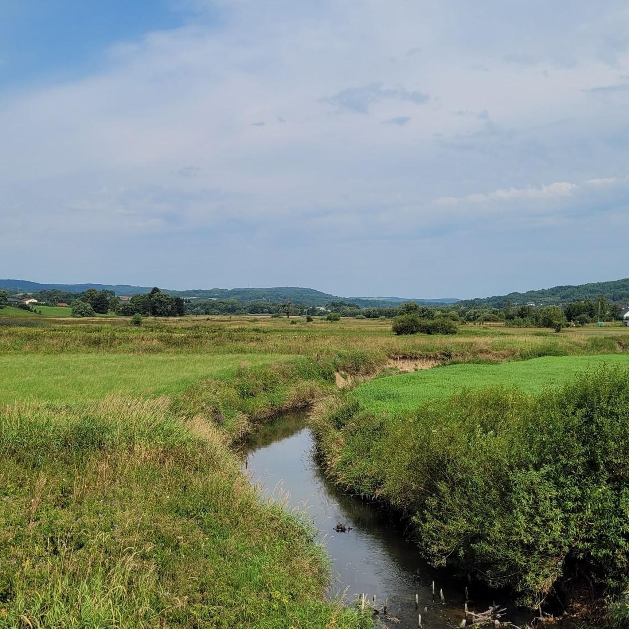
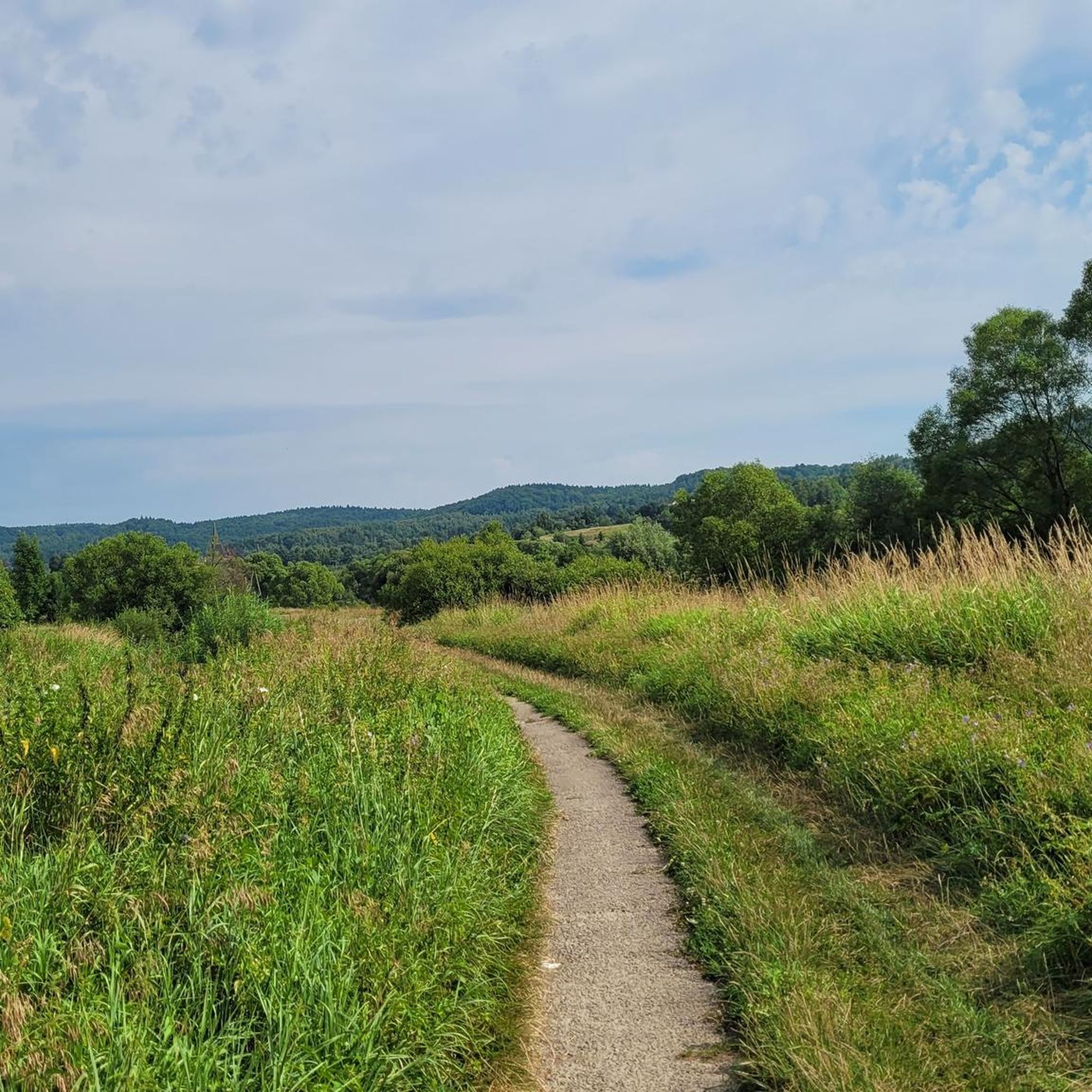
Hiking around gmina Jasienica Rosielna offers diverse landscapes within the Central Beskidian Foothills and Dynów Foothills region of Poland. The area features rolling hills, silicate uplands, and a varied terrain that includes flat-rolling areas along the Stobnica river valley, transitioning to wavy and hilly sections. Forests cover approximately 20% of the gmina, providing extensive natural environments for exploration.
Best hiking trails around gmina Jasienica Rosielna
- The most popular hiking route is Yellow Nature Trail to Trzy Wody Waterfall, a…
Last updated: May 14, 2026
4.9
(8)
19
hikers
3.97km
01:10
110m
110m
Easy hike. Great for any fitness level. Easily-accessible paths. Suitable for all skill levels.
3
hikers
2.04km
00:34
30m
30m
Easy hike. Great for any fitness level. Easily-accessible paths. Suitable for all skill levels.

Sign up for free
3.0
(1)
3
hikers
20.3km
06:14
680m
680m
Hard hike. Very good fitness required. Mostly accessible paths. Sure-footedness required.
5.0
(2)
37
hikers
Easy hike. Great for any fitness level. Easily-accessible paths. Suitable for all skill levels.
17
hikers
Easy hike. Great for any fitness level. Easily-accessible paths. Suitable for all skill levels.
Get access to more routes and recommendations from other explorers.
Sign up for free
Already have an account?
Our route recommendations are based on thousands of hikes, rides, and runs completed by other people on komoot.
Start today with a free account
Your next adventure awaits.
Login or Signup
Tips from the Community

More information and photos: https://goryaktywnie.pl/rezerwat-przadki https://rzeszowpodkarpackie.com/rezerwat-przadki/ https://czarnorzeki.pl/rezerwat-przadki/ https://podkarpackie.travel/produkt/rezerwat-przadki
0
0

The former Greek Catholic Church of St. Demetrius. The church was built of sandstone in the Byzantine style in 1921 by Greek Catholics and used until their displacement in 1946. Until then, the Roman Catholic population of Czarnorzeki belonged to the Korczyna parish, and after the war, the entire population of the village, including the church, belonged to the Korczyna parish. On June 16, 1971, Czarnorzeki was incorporated into the Węglówka parish. The walls are plastered with washed terrazzo with a touch of colored glass. The roof is characterized by a large, bulbous dome, topped with a distinctive iron cross, covered with sheet metal. The clearly visible crescent moon at the base of the cross is the symbol of the Mother of God, while the rays located between the arms are the symbols of the sun – the symbol of Christ. The remaining roofs are simple, covered with sheet metal. The cathedral altar, a simple oak altar, and a pulpit at the altar. Source: Atlas Project - Tourist information - Church of the Transfiguration of the Lord in Czarnorzecze. https
1
0
Today we visited the tower and explored the accessible rooms. The ground floor doors were closed, while the upstairs room with a nature photography exhibition was open, and of course, the viewing gallery on the second floor. For now, the view toward the expansive Carpathian panorama is unobstructed, but that will change. Right across the asphalt road between the tower and the panorama, in an area slightly higher than the base of the observation tower, someone has planted spruce trees along the road. 😮 The observation deck on the tower is 9 meters high. I was looking for information on how long it will take for the spruce trees to reach this height and block the view. The AI review provided the following answer: "A spruce tree needs about 15 to 30 years to reach 9 meters in height, as it grows on average 30 to 60 cm per year, with the fastest growth occurring between the 5th and 15th year of the tree's life. The exact time depends on the spruce species, soil conditions, sunlight, and care." WW
0
0
The observation tower in Czarnorzeki is a new attraction in the Podkarpackie Voivodeship, located near Krosno. It opened in July 2020 and is already attracting tourists. The tower has 3 floors. On the ground floor you will be able to see exhibitions and galleries of various artists. Above, there is an exhibition of photographs about Korczyna and Czarnorzki, and at the very top there are beautiful views. Some important information: Admission is free, These are the opening hours: from April 1 to September 30, the tower is open from 8:00 a.m. to 8:00 p.m. In other months from 8:00 a.m. to 5:00 p.m. There is no designated parking lot under the tower. There are several places along the road for 6 cars. There may be a problem on weekends. The access roads are very narrow, so some people may have trouble getting there (...) Source and more: https://mynaszlaku.pl/czarnorzeki-wieza-widokowa/
1
0

Lost rocks are rock outcrops emerging from sandstone layers. This is one of the stops on the interesting nature trail to the Trzy Wody waterfall. The largest rock in the group is about 40 m long and 3 to 7 m high.
4
0
The Trzy Wody Waterfall in Kombornia is the largest waterfall in the Czarnorzecko-Strzyżowski Landscape Park. It is made of large sandstone blocks and is approximately 5 m high.
2
0
Królewska Góra (554 m above sea level) is a peak covered with beech forest in the Dynowskie Foothills near Czarnorzki. It is located in the Czarnorzecko-Strzyżowski Landscape Park.
3
0
The Brzozów-Zdrój nature and educational trail offers an easy route through a forest with a diverse species composition, including: oaks, sycamores, firs, larches, pines and ash alder forests. At the beginning of the path there is a parking lot, a large shelter, a fireplace and benches. The path has 14 educational stops presenting various aspects of the forest, from habitats to tree forms. An interesting fact is the connection with oil exploration, when mineral waters were discovered instead. Despite the destruction of the two-story spa house during World War II, traces have been preserved in the form of ruins of foundations, wells and remains of parks. The path is worth visiting all year round, especially in spring and autumn.
2
0
Frequently Asked Questions
How many hiking trails are available in gmina Jasienica Rosielna?
Gmina Jasienica Rosielna offers a wide selection of hiking opportunities, with nearly 50 trails to explore. These routes cater to various preferences, from easy strolls to more challenging treks.
What is the general difficulty level of hikes in gmina Jasienica Rosielna?
The majority of hikes in gmina Jasienica Rosielna are considered easy, with 31 routes suitable for casual walkers. There are also 16 moderate trails for those seeking a bit more challenge, and one difficult route for experienced hikers.
Are there any waterfalls to see on hikes in gmina Jasienica Rosielna?
Yes, you can discover the beautiful Three Waters Waterfall (Wodospad Trzy Wody) within the Czarnorzeki-Strzyżów Landscape Park. An easy loop trail, the Yellow Nature Trail to Trzy Wody Waterfall, leads directly to it.
What natural features can I expect to see while hiking in the region?
The region is characterized by rolling hills, silicate uplands, and extensive forests covering about 20% of the area. You'll find diverse terrain, from flat-rolling areas along the Stobnica river valley to wavy and hilly landscapes. Notable natural features include the Prządki Nature Reserve and the highest point, Połom mountain at 455 meters above sea level.
Are there any family-friendly hiking options in gmina Jasienica Rosielna?
Absolutely. Many of the trails are easy and suitable for families. For instance, the Yellow Nature Trail to Trzy Wody Waterfall is an easy 2.0 km loop, perfect for a family outing. The region also features a Nordic Walking Park with various loop routes, some of which are suitable for all ages.
Can I find circular hiking routes in gmina Jasienica Rosielna?
Yes, there are several circular routes available. The Nature and educational trail Brzozów-Zdrój (loop) is an easy 4.0 km option. For a longer challenge, consider the difficult Czarnorzeki - Sucha Góra - Prządki Reserve Loop, which is 20.3 km long.
Are there any historical sites or viewpoints along the hiking trails?
Yes, hikers can explore the ruins of the 14th-century Gothic Kamieniec Castle, situated on a rock at 452 meters above sea level. For panoramic views, visit the Czarnorzeki Observation Tower or the Punkt Widokowy "Winnica Widokowa" viewpoint.
What do other hikers say about the trails in gmina Jasienica Rosielna?
The trails in gmina Jasienica Rosielna are highly regarded by the komoot community, holding an average rating of 4.6 out of 5 stars from over 50 reviews. Hikers often praise the varied terrain, dense forests, and the well-maintained paths within protected natural areas like the Czarnorzeki-Strzyżów Landscape Park.
Are there any dedicated Nordic Walking routes in the area?
Yes, Gmina Jasienica Rosielna features a dedicated Nordic Walking Park with four distinct routes. These loops range from 5.4 km to 14.4 km and utilize a mix of sidewalks, asphalt roads, and dirt tracks, making them suitable for various fitness levels.
Can I find places to relax or enjoy a meal near the hiking areas?
While specific cafes directly on trails are limited, the region offers options. The Manor in Kombornia provides a tranquil setting with walking paths and is a good spot for relaxation. For a unique experience, the Mirosław Pelczar Chocolate Tasting Room in Korczyna is also nearby.
Are there any ancient trees or historic parks to visit?
Yes, the historic manor park in Jasienica Rosielna is home to several ancient trees, including a 300-year-old linden and a 350-year-old pedunculate oak, along with groups of oaks and small-leaved lindens ranging from 250 to 450 years old. The Manor in Kombornia also features well-prepared walking paths within its park.
What is the highest point in gmina Jasienica Rosielna?
The highest point within gmina Jasienica Rosielna is Połom mountain, which reaches an elevation of 455 meters above sea level in Wola Jasienicka. While not a towering peak, it offers a good vantage point within the rolling landscape.
Most popular routes around gmina Jasienica Rosielna
Most popular attractions around gmina Jasienica Rosielna

Get inspired with the komoot mobile app


Explore more
Browse the best Hikes in other regions.
