The best walks and hikes around gmina Nowy Żmigród
4.7
(292)
3,501
hikers
34
hikes
Hiking trails around gmina Nowy Żmigród are situated in the heart of the Beskid Niski mountains, offering diverse landscapes for outdoor enthusiasts. The region is characterized by forested hills, including Grzywacka Góra and Mount Wysokie, and features river valleys. It serves as a gateway to the less-frequented part of the Carpathians, with a network of established trails.
Best hiking trails around gmina Nowy Żmigród
- The most popular hiking route is Loop Kąty - Grzywacka Góra: Beskid Niski, a 2.9…
Last updated: October 10, 2026
4.7
(3)
37
hikers
4.66km
01:35
240m
240m
This easy 2.9-mile (4.7 km) loop hike to Grzywacka Góra in Beskid Niski offers panoramic views from its observation tower.
4.0
(2)
6
hikers
11.2km
03:28
400m
400m
Hike the moderate 7.0-mile Desznica - Kolanin Loop in Magurski National Park, gaining 1309 feet through wild, forested terrain.

1
hikers
25.0km
07:25
750m
750m
Hard hike. Very good fitness required. Easily-accessible paths. Suitable for all skill levels.
4
hikers
12.3km
03:40
380m
380m
Moderate hike. Good fitness required. Easily-accessible paths. Suitable for all skill levels.
5.0
(1)
93
hikers
4.00km
01:24
230m
240m
Easy hike. Great for any fitness level. Easily-accessible paths. Suitable for all skill levels.
Get access to more routes and recommendations from other explorers.
Already have an account?
Our route recommendations are based on thousands of hikes, rides, and runs completed by other people on komoot.
Start today with a free account
Your next adventure awaits.

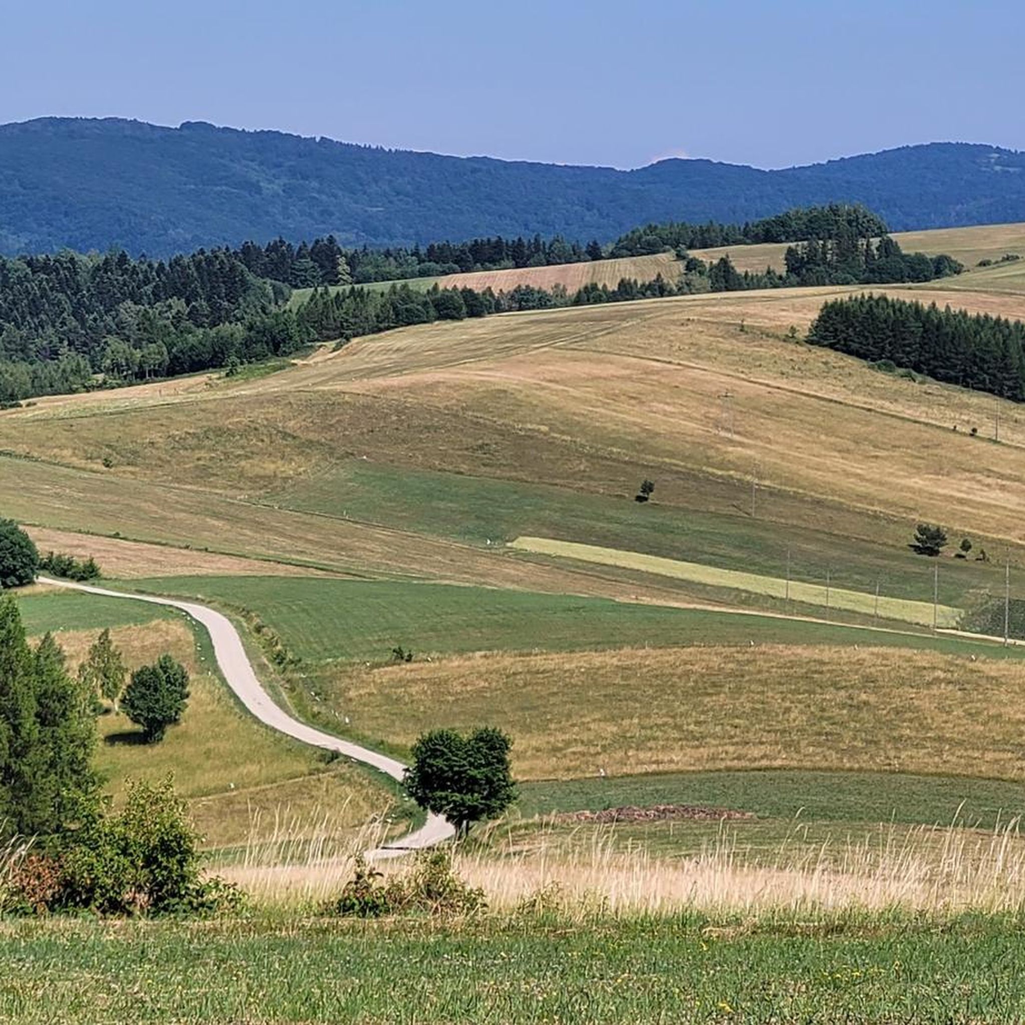
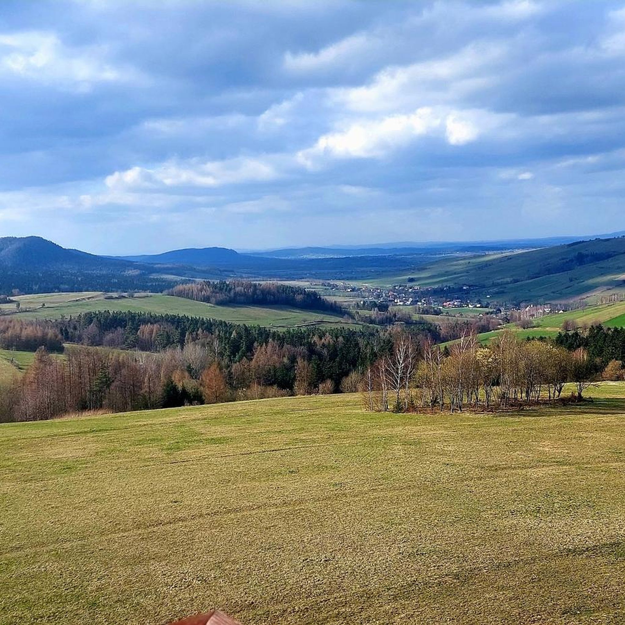
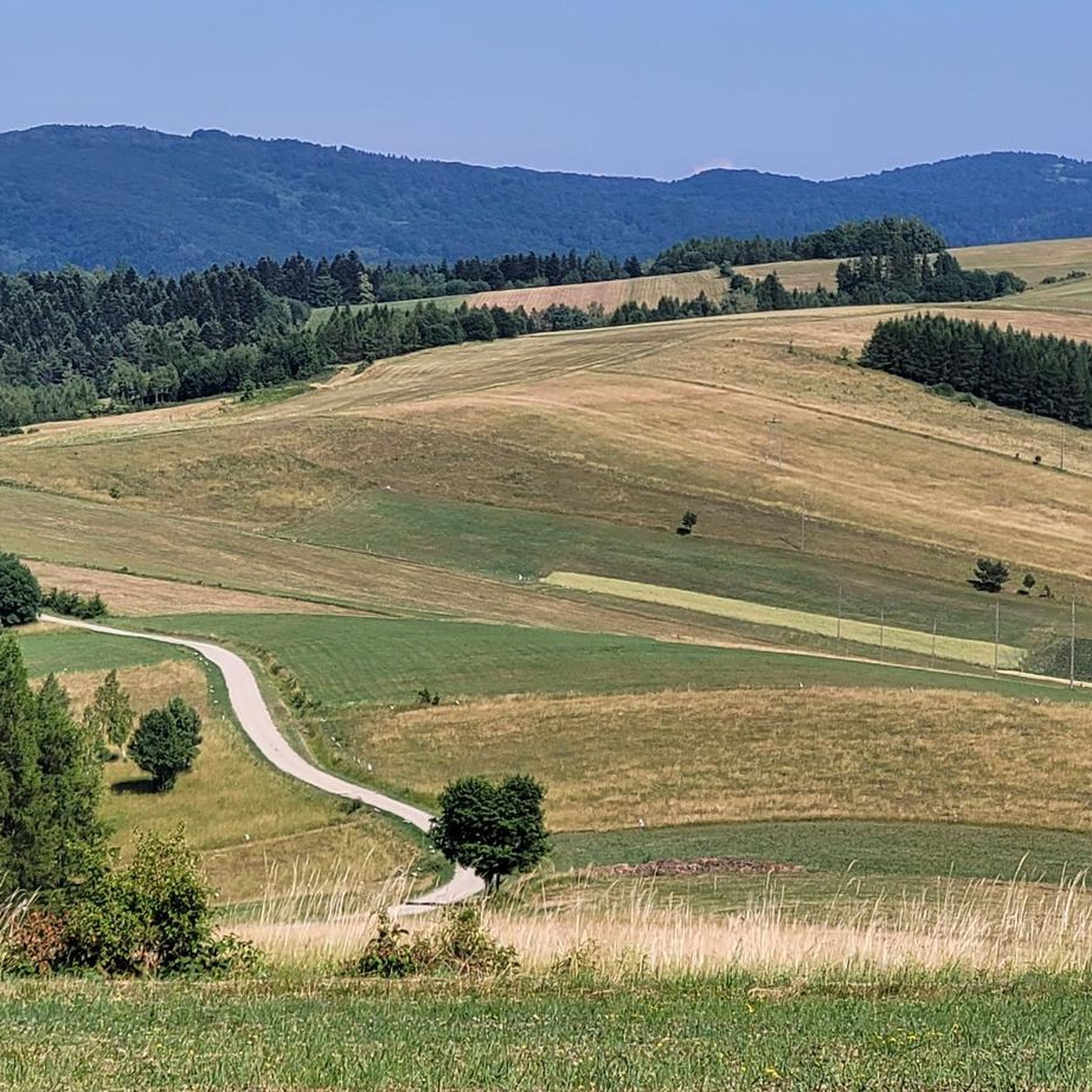
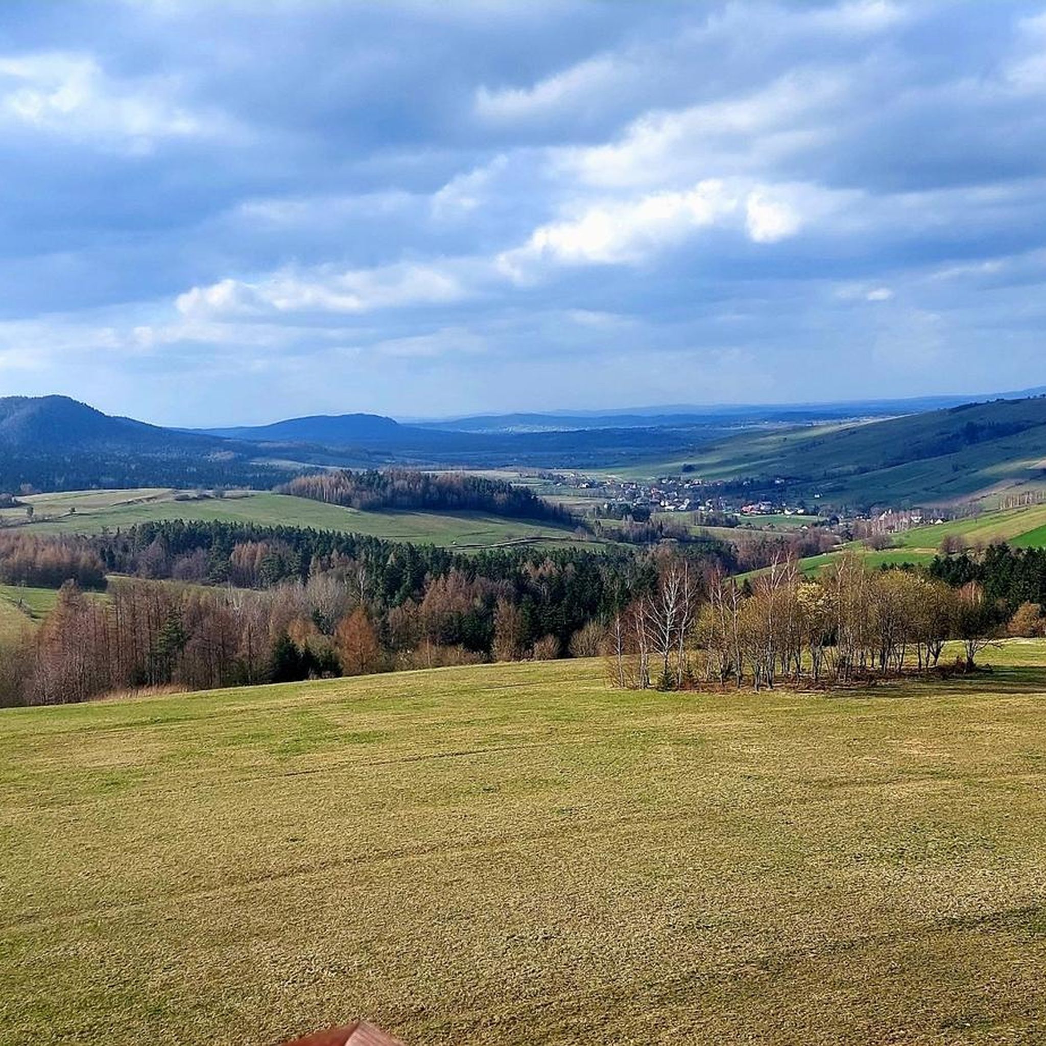

Other adventures around gmina Nowy Żmigród

Tips from the Community

More information and photos: https://goryaktywnie.pl/gora-grzywacka https://beskidniski.org.pl/grzywacka-gora/ https://osadapodbrzoza.pl/grzywacka-gora-szlaki-wieza-i-panorama-beskidu-niskiego https://pl.wikipedia.org/wiki/Grzywacka_G%C3%B3ra
2
0
More information and photos: https://goryaktywnie.pl/wieza-widokowa-w-desznicy https://okiemmiszy.pl/desznica-wieza-widokowa-beskid-niski/ https://pl.wikipedia.org/wiki/Wie%C5%BCa_widokowa_w_Desznicy
2
0

There are nice views from here.
0
0

A shelter is just a shelter, but what makes it unique are the views from above of Kąty and the entire beautiful surrounding area. And the Wisłoka River flowing through the valley below... truly magnificent!
1
0
This is the Greek Catholic Church of the Protection of the Mother of God. It was built in 1780. Inside, there is also a miraculous painting of the Virgin Mary and Child: legend has it that no one brought it, but rather it simply appeared one day on a nearby tree!
0
0

Steep rocky access
0
0

The church was probably built in 1780 (the date "June 21, 1780" was carved in the lintel of the western portal). It is believed that the stone presbytery and sacristy may date back to 1707. A thorough renovation of the temple took place in 1932. After the displacement of the Ukrainian population, the church was taken over by the Roman Catholic Church. Due to the poor technical condition of the building, its demolition began in 1982, but fortunately it was quickly stopped. At the turn of the 1980s and 1990s, the former Orthodox church was renovated.
1
0

Frequently Asked Questions
How many hiking trails are available in gmina Nowy Żmigród?
There are over 25 hiking trails in gmina Nowy Żmigród, offering a diverse range of experiences. You'll find options from easy strolls to challenging long-distance routes, catering to various fitness levels.
What are the difficulty levels of hiking trails in gmina Nowy Żmigród?
The trails in gmina Nowy Żmigród offer a good mix of difficulty levels. You can find 11 easy routes, 10 moderate trails, and 5 more difficult options, ensuring there's something for every hiker.
What kind of landscapes can I expect to see while hiking in gmina Nowy Żmigród?
Gmina Nowy Żmigród is nestled in the Beskid Niski mountains, so you can expect to hike through extensive forested hills, discover picturesque river valleys, and ascend peaks like Grzywacka Góra and Mount Wysokie. The region offers a blend of natural beauty and serene wilderness.
Are there any circular hiking routes in gmina Nowy Żmigród?
Yes, there are several excellent circular hiking routes. A popular easy option is the Loop Kąty - Grzywacka Góra, which offers expansive views. For a moderate challenge, consider the Desznica - Kolanin Loop, which ventures into Magurski National Park.
What is the best time of year for hiking in gmina Nowy Żmigród?
The best time for hiking in gmina Nowy Żmigród is generally from spring to autumn. Spring brings lush greenery, while autumn offers vibrant foliage. Summer is also popular, but be prepared for warmer temperatures. Winter hiking is possible for experienced hikers, but conditions can be challenging.
Are there any trails with significant viewpoints in the area?
Absolutely! Grzywacka Góra (567 m a.s.l.) near Kąty features the Millennial Papal Cross and an observation deck with expansive views from Mount Liwocz to Mount Cergowa. Mount Wysokie (657 m a.s.l.) also offers stunning vistas, with the Tatra Mountains visible on clear days. There's also a viewing tower in Desznica for additional panoramic perspectives.
Can I find trails that lead to waterfalls or other natural monuments?
Yes, the region boasts several natural attractions. You can hike to the beautiful Magurski Waterfall. Other notable natural monuments include the Diabli Kamień Rock Formation and the Kornuty Rock Nature Reserve.
Are there family-friendly hiking options in gmina Nowy Żmigród?
Yes, gmina Nowy Żmigród offers several easy trails suitable for families. The "Dolina Świerzówki" (Świerzówka Valley) is highlighted as an easy route. Additionally, the Loop Kąty - Grzywacka Góra is an easy, shorter option that rewards with great views.
What historical or cultural sites can I explore on a hike?
Many trails lead through areas rich in history and culture. You can explore the remnants of former Lemko villages like Nieznajowa, Huta Polańska, and Żydowskie. The Nieznajowa Abandoned Village is a particularly poignant site. The Papal Trail also passes through the region, commemorating the treks of Pope John Paul II.
What wildlife might I encounter in the region?
The nearby Magurski National Park, which some trails enter, is known for its rich biodiversity. Hikers might spot large predators such as brown bears, wolves, lynx, and wildcats, though sightings are rare. The park is also home to diverse birdlife and other forest animals.
What do other hikers say about the trails in gmina Nowy Żmigród?
The hiking trails in gmina Nowy Żmigród are highly rated by the komoot community, with an average score of 4.8 stars from over 90 reviews. Hikers often praise the region's diverse landscapes, the quiet beauty of the Beskid Niski mountains, and the well-maintained paths.
Is public transport available to reach trailheads in gmina Nowy Żmigród?
While public transport options might be limited in some of the more remote areas of gmina Nowy Żmigród, local bus services connect some villages. For specific trailheads, it's advisable to check local bus schedules or consider carpooling, especially for routes deeper within the Beskid Niski mountains.
Where can I find parking near the hiking trails?
Parking is generally available in or near the starting points of popular trails, especially in villages like Kąty or Desznica. For routes within Magurski National Park, designated parking areas are usually provided. It's always a good idea to check specific route descriptions for parking recommendations.
Most popular routes around gmina Nowy Żmigród
Most popular attractions around gmina Nowy Żmigród

Get inspired with the komoot mobile app


Explore more
Browse the best Hikes in other regions.
