The best MTB trails around gmina Olszanica
4.7
(33)
245
riders
47
rides
Mountain biking around gmina Olszanica offers routes through forested hills and along the shores of large lakes like Solina and Myczkowskie. The terrain features significant elevation changes, providing both challenging climbs and scenic descents. Numerous viewpoints are accessible, offering panoramic vistas of the surrounding landscape.
Best mountain bike trails around gmina Olszanica
- The most popular mountain bike trail is View of Lake Solina loop from Solina, a 34.9 miles (56.1 km) trail that takes 4 hours 26 minutes to…
Last updated: July 19, 2026
4.6
(5)
19
riders
58.3km
04:51
1,280m
1,270m
Hard mountain bike ride. Very good fitness required. Advanced riding skills necessary.
9
riders
29.0km
01:48
280m
280m
Easy mountain bike ride. Great for any fitness level. Suitable for all skill levels.

Sign up for free
5.0
(1)
7
riders
80.6km
05:43
1,330m
1,330m
Hard mountain bike ride. Very good fitness required. Advanced riding skills necessary.
7
riders
22.6km
01:59
700m
700m
Moderate mountain bike ride. Good fitness required. Suitable for all skill levels.
5.0
(1)
9
riders
31.5km
02:31
710m
710m
Moderate mountain bike ride. Good fitness required. Advanced riding skills necessary.
Get access to more routes and recommendations from other explorers.
Sign up for free
Already have an account?
Our route recommendations are based on thousands of hikes, rides, and runs completed by other people on komoot.
Start today with a free account
Your next adventure awaits.
Login or Signup
Tips from the Community

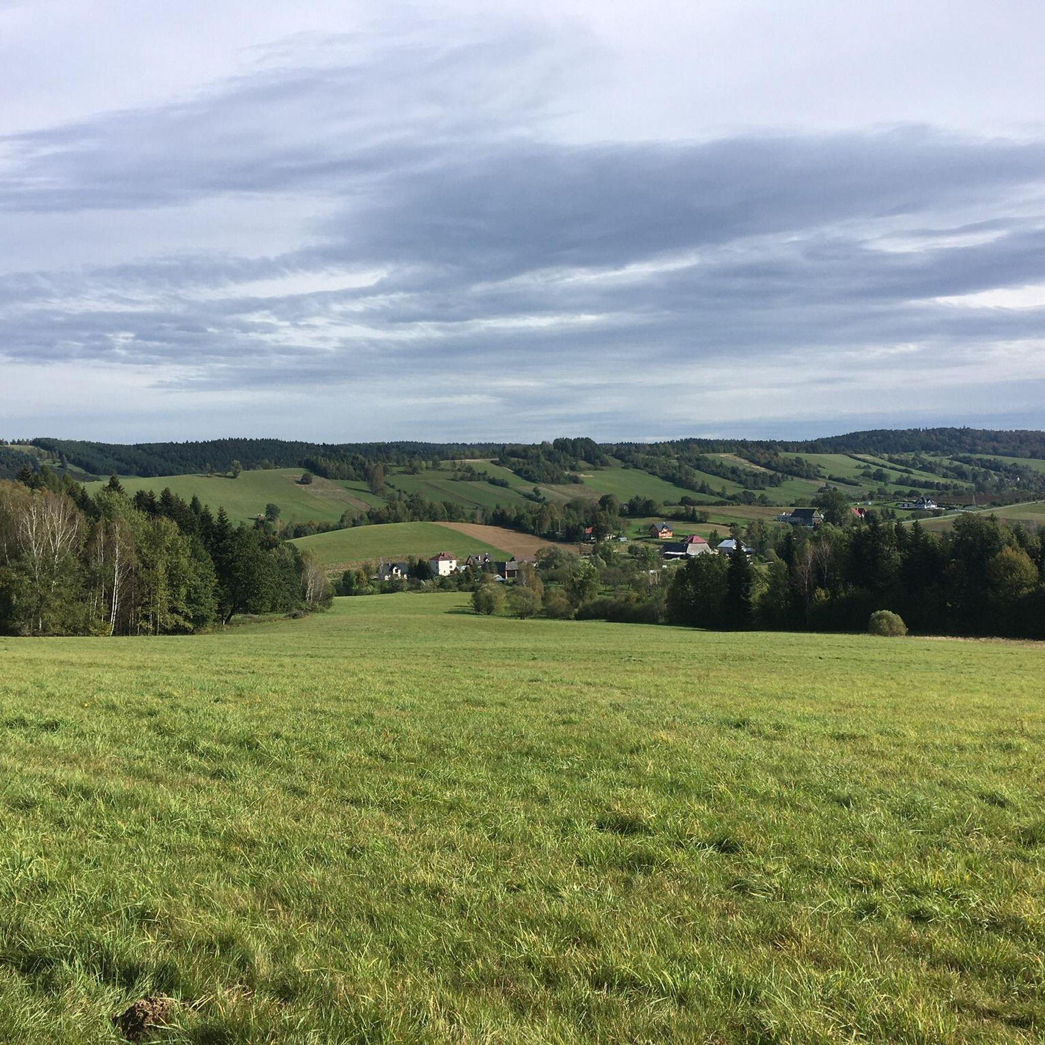
A viewpoint over the Solinka River and the surrounding hills. If we go about 150 m further east, there is a path leading to a gazebo and benches visible below.
0
0
View of the San from the bridge just before the dam in Solina.
0
0

Boat trips on the Polańczyk port - Solina route take place every hour and are an alternative to the busy road and also make it easier to reach the neighboring resort without having to look for a parking lot. After sightseeing, you can also return by boat to the starting point. In the Polańczyk port, you can wait for the ship on benches near the port, enjoying the beautiful view of the bay and the vessels sailing on its waters. In case of heat, you can seek cooling off in the nearby fountain, which is a popular activity for children. WW
0
0

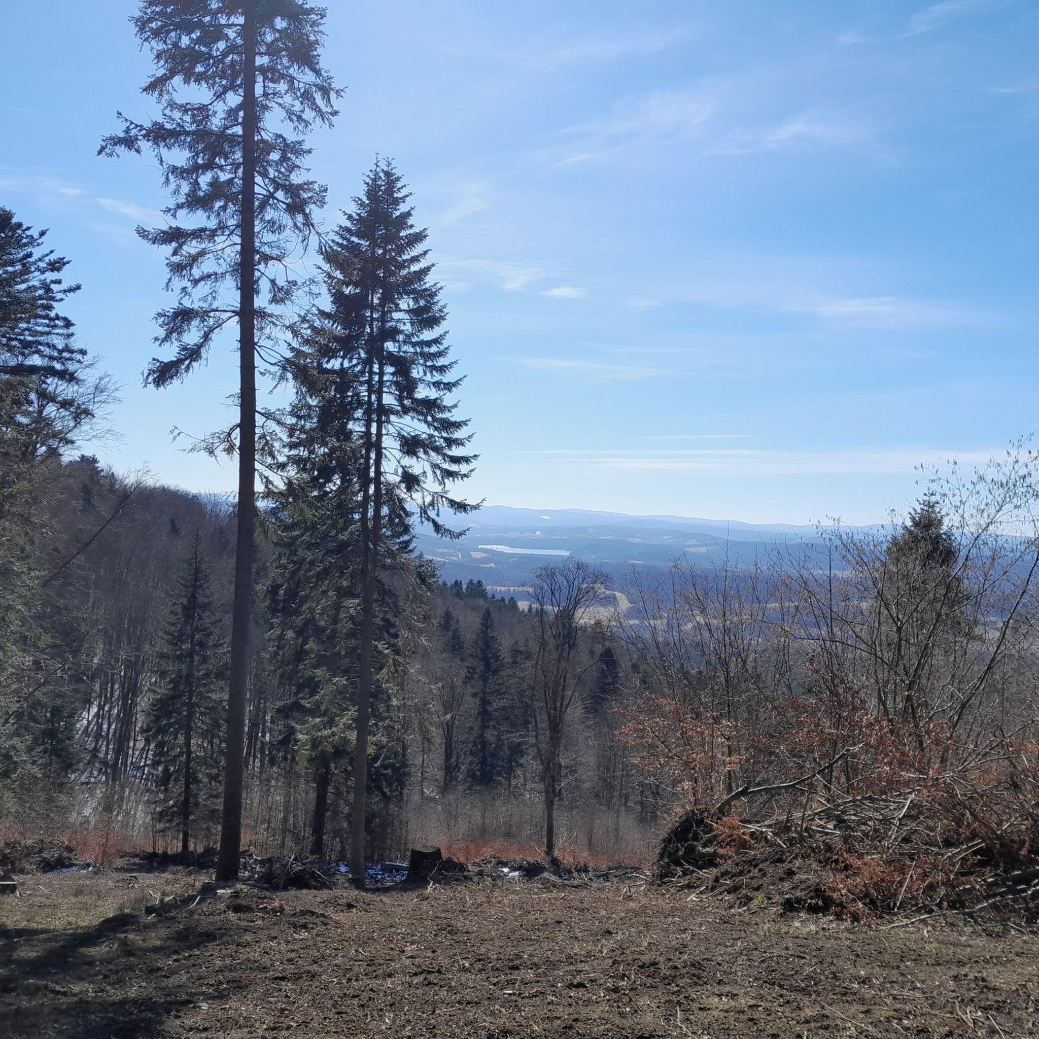
A demanding climb, but beautiful views. 🌄 The green trail leads here.
0
0

A lonely screen bell tower, a remnant of the former Orthodox church. The first Orthodox church that stood in this place was mentioned already in 1489. The next Orthodox church was built in Terka in 1781 and existed until around 1911. In the same year, another Orthodox church was built, made of brick, but it burned down three years later. In 1922 it was rebuilt. It survived World War II in good condition, but was abandoned and fell into ruin. Approx. In 1957 the church was demolished. Only the lonely bell tower was left.
1
0
A beautiful green forest, through which we will walk along the "Green Hills over Solina" walking path from Polańczyk. The route has a total length of 13 kilometers.
2
0
In the center of Terka there is a characteristic screen-shaped historic bell tower; a witness of the passing time and the heroine of many photos from the Bieszczady Mountains. It is a church bell tower from the 19th century, which survived demolition. Unfortunately, one of the two bells has been lost, but the other one is still used in the church bell tower.
2
0
Watch the video: https://youtu.be/j_pRKEUh4XM?si=Rh2nT9w0ZtOGNjuu
0
0
Frequently Asked Questions
How many mountain bike trails are available in gmina Olszanica?
There are over 45 mountain bike trails recorded in gmina Olszanica, offering a wide range of options for different skill levels.
What are the difficulty levels of mountain bike trails in gmina Olszanica?
The trails in gmina Olszanica cater to various skill levels. You'll find 5 easy routes, 34 moderate routes, and 6 difficult routes, ensuring options for beginners to experienced riders.
Are there easy mountain bike trails suitable for beginners or families?
Yes, gmina Olszanica offers several easy mountain bike trails. A great option for less experienced riders or families is the Jezioro Myczkowskie loop from Solina, an 18.0-mile (28.9 km) path that follows the shores of Jezioro Myczkowskie.
Which mountain bike trails offer challenging rides for advanced cyclists?
For advanced cyclists seeking a challenge, the region has difficult routes with significant elevation changes. Consider the View of Lake Solina – Singletrack Pod Honem loop from Solina, a 50.1-mile (80.7 km) trail with varied terrain and singletrack sections.
What is the typical length of mountain bike trails in gmina Olszanica?
Trail lengths vary significantly. You can find shorter routes like the easy 18.0-mile (28.9 km) Jezioro Myczkowskie loop from Solina, up to longer, more demanding rides such as the 50.1-mile (80.7 km) View of Lake Solina – Singletrack Pod Honem loop from Solina.
Which mountain bike trails offer the best scenic viewpoints?
Many trails in gmina Olszanica provide excellent views. The View of Lake Solina loop from Solina offers extensive views of Lake Solina. Another route, Forest above Solina – View of Volkowyja and Solinka loop from Solina, provides vistas of Volkowyja and Solinka.
What can I see along the mountain bike trails in gmina Olszanica?
Beyond the natural beauty of forested hills and lakes, you can encounter various attractions. Highlights include the impressive Solina Dam and Myczkowce Dam. There are also several viewpoints like the View of Lake Myczkowskie and the Heart on Suchy Berd Hill.
Are there any interesting landmarks or cultural sites near the mountain bike routes?
Yes, the region has historical and cultural points of interest. You might come across the Church of the Transfiguration (Former Greek Catholic Church, 1820) in Manasterzec or St. George's Church in Myczkowce. The unique Kamień Leski natural monument is also nearby.
What do other mountain bikers enjoy the most about mountain biking in gmina Olszanica?
The area is highly rated by the komoot community, with an average score of 4.7 stars from over 19 reviews. Reviewers often praise the diverse terrain, from lakeside paths to challenging singletracks, and the extensive views of Lake Solina and the surrounding forested hills.
What is the best time of year for mountain biking in gmina Olszanica?
The spring and autumn months generally offer the most pleasant conditions for mountain biking, with milder temperatures and vibrant scenery. Summer can also be good, but trails might be busier, especially around the lakes. Always check local weather forecasts before heading out.
Are there any loop trails for mountain biking in gmina Olszanica?
Many of the mountain bike trails in gmina Olszanica are designed as loops, allowing you to start and finish at the same point. Examples include the View of Lake Solina loop from Solina and the Bezmiechowa Airfield Viewpoint loop from gmina Lesko.
Is there parking available near the mountain bike trails?
While specific parking details for every trailhead are not provided, popular starting points like Solina and other lakeside villages typically offer designated parking areas for visitors. It's advisable to check the specific route details on komoot for parking recommendations or local signage upon arrival.
Most popular routes around gmina Olszanica
Most popular attractions around gmina Olszanica

Get inspired with the komoot mobile app


Explore more
Browse the best MTB trails in other regions.
