The best walks and hikes around Arnsberg
4.6
(10696)
33,211
hikers
1,130
hikes
Hiking around Arnsberg offers diverse landscapes within Germany's Hochsauerland district, characterized by extensive forests, river valleys, and wooded ridges. The region is situated on the edge of the Arnsberg Forest Nature Park, one of Germany's largest continuous wooded areas, featuring numerous springs and brooks. The meandering Ruhr River and the large Möhnesee reservoir provide additional scenic elements. Elevated points along the ridges offer distant views of the city and the wider Sauerland region.
Best hiking trails around Arnsberg
- The most…
Last updated: October 4, 2026
4.7
(23)
72
hikers
28.0km
07:57
640m
640m
Hard hike. Very good fitness required. Mostly accessible paths. Sure-footedness required.
4.6
(177)
588
hikers
Moderate hike. Good fitness required. Easily-accessible paths. Suitable for all skill levels.

4.8
(149)
425
hikers
12.3km
03:28
270m
270m
Moderate hike. Good fitness required. Easily-accessible paths. Suitable for all skill levels.
4.8
(140)
411
hikers
12.2km
03:28
270m
270m
Moderate hike. Good fitness required. Easily-accessible paths. Suitable for all skill levels.
4.8
(436)
1,170
hikers
Moderate hike. Good fitness required. Easily-accessible paths. Suitable for all skill levels.
Get access to more routes and recommendations from other explorers.
Already have an account?
Our route recommendations are based on thousands of hikes, rides, and runs completed by other people on komoot.
Start today with a free account
Your next adventure awaits.
Popular around Arnsberg
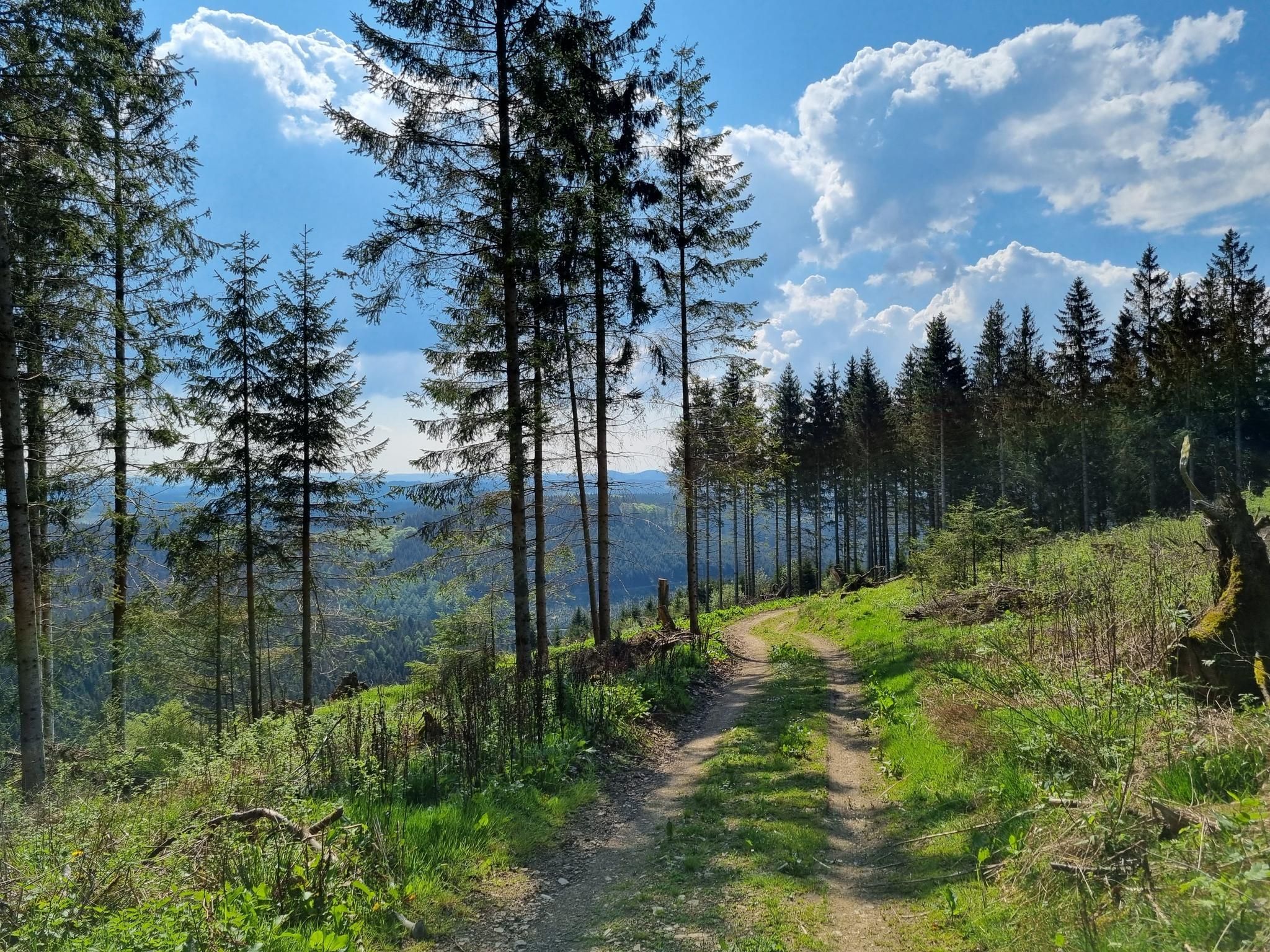
Ehmsenweg – Hiking through Western Sauerland
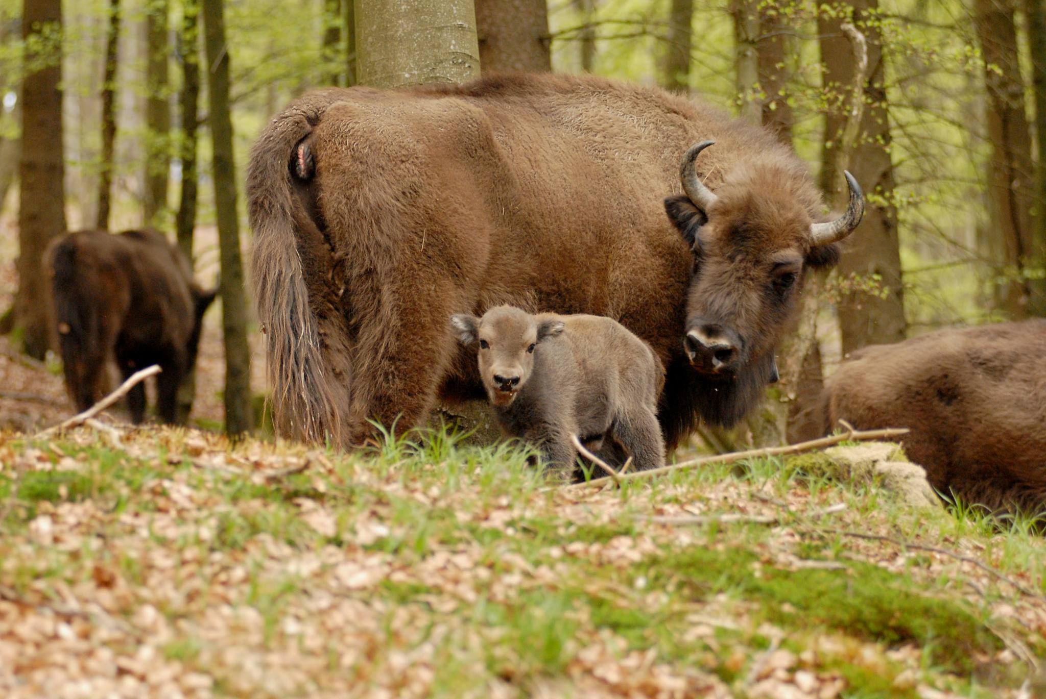
Wild Sauerland - Animal Encounters While Hiking
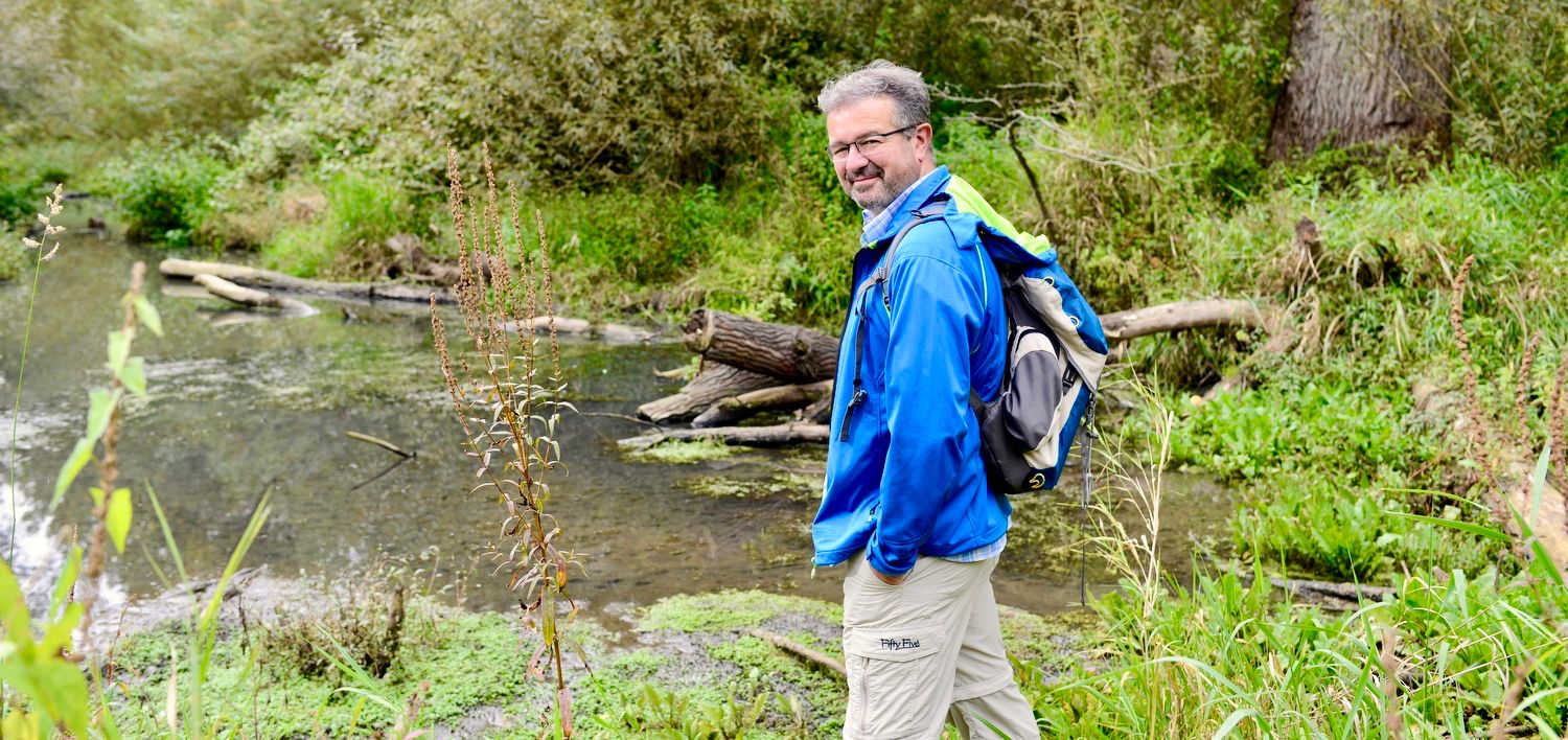
NATOUR-GUIDE — experience living rivers
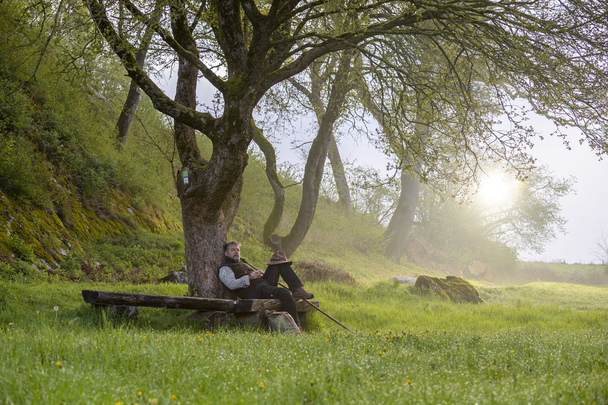
Zauberhaft mystisch - Die Sauerland-Waldroute
Cycling around Arnsberg
MTB Trails around Arnsberg
Road Cycling Routes around Arnsberg
Running Trails around Arnsberg

Gravel biking around Arnsberg
Other adventures around Arnsberg


Tips from the Community

The Wildwald Vosswinkel near Arnsberg-Voßwinkel is a large nature experience area in Lüerwald: around 680 hectares of forest, with over 12 kilometers of paths for visitors. Native wild species such as red deer, fallow deer, mouflons, and wild boars can be seen.
3
0

Picturesque spot by the small stream
0
0

From here it is not far to the big Bertha
0
0


A great place to linger, even if there is usually no special treatment from the SGV youth centre, with the goulash cannon at the Ehmsenhütte for the new hiking guides ;) (see photos)
0
0

🎨A changing picture in every season 🍃 🍂 🍁. Wonderful peace & great views/panoramas ⛰️ to enjoy 🎨📸.
1
0

A narrow path and great to walk - highly recommended.
0
0
A narrow path and great to walk - highly recommended.
1
0
Frequently Asked Questions
What types of hiking trails can I expect in Arnsberg?
Arnsberg offers a diverse range of hiking trails, from easy paths to challenging routes. The region is characterized by extensive forests, river valleys, and wooded ridges, particularly within the Arnsberg Forest Nature Park. You'll find meandering rivers like the Ruhr, the large Möhnesee reservoir, and elevated points offering panoramic views of the city and the wider Sauerland region.
Are there many hiking options available in Arnsberg?
Yes, Arnsberg provides a vast network for hikers. There are over 1100 hiking routes available, catering to various fitness levels. This includes more than 640 easy trails, over 420 moderate routes, and around 60 more challenging options.
What are some natural features or landmarks to look out for on Arnsberg's trails?
The region is rich in natural beauty and historical landmarks. You can explore the vast Arnsberg Forest Nature Park with its springs and brooks, or enjoy the scenery around the Möhnesee reservoir. Notable natural features include the Bilstein Cave, offering guided tours, and ancient trees within the "Kurfürstlicher Thiergarten Arnsberg" area. For panoramic views, consider visiting the Lörmecke Tower or the Ebbergturm Observation Tower.
Are there any circular hiking routes in Arnsberg?
Yes, Arnsberg has numerous circular routes. An example is the Magical Bachtaler Springs – Lattenberg Trailhead Parking loop from Wanderparkplatz Fahne, a moderate 7.4 km path that leads through natural forest cells and unique spring landscapes. Another popular option is the View of Arnsberg – View from Jägerbänke loop from Arnsberg, which offers panoramic viewpoints.
What is the best time of year to go hiking in Arnsberg?
Arnsberg is suitable for hiking throughout much of the year. Spring and autumn offer pleasant temperatures and beautiful scenery, with vibrant foliage in autumn. Summer is ideal for enjoying the forests and lakes, while winter can provide unique experiences on cleared paths, though some trails might be less accessible. The extensive forests provide shade during warmer months.
Are there family-friendly hiking trails in Arnsberg?
Yes, Arnsberg offers many family-friendly options. The region has a large number of easy trails, with over 640 routes classified as such. The "Kurfürstlicher Thiergarten Arnsberg" circular trail is a good choice, combining natural beauty with historical elements like remnants of old castles, making it engaging for all ages. Educational forest trails, such as those in Bibertal, also provide unique experiences for families.
Can I bring my dog on the hiking trails in Arnsberg?
Many trails in Arnsberg are dog-friendly, allowing you to explore the natural beauty with your canine companion. It's always recommended to keep dogs on a leash, especially in nature reserves or areas with wildlife, and to check specific trail regulations before you go. The vast forest areas provide ample space for walks.
Are there any long-distance hiking trails that pass through the Arnsberg area?
Yes, Arnsberg is part of several long-distance routes. The Sauerland Forest Route, covering 240 kilometers, runs through old forest stands and past natural monuments. The Homertweg leads from historic Arnsberg to Grevenstein, offering magnificent distant views. Additionally, the Ruhrhöhenweg follows the course of the Ruhr River, often traversing ridges on both sides.
What do other hikers say about the trails in Arnsberg?
The hiking trails in Arnsberg are highly regarded by the komoot community, with an average rating of 4.6 stars from over 9,000 reviews. Hikers often praise the diverse landscapes, the extensive and well-maintained network of trails, and the serene environment of the Arnsberg Forest Nature Park.
Are there opportunities for refreshments along the hiking routes?
Yes, many hiking areas in Arnsberg have options for refreshments. Depending on the specific route, you might find cafes, restaurants, or traditional pubs in nearby villages or towns. Some trails, especially those passing through or near settlements, offer convenient stops to refuel and relax.
What kind of terrain should I expect on Arnsberg's hiking trails?
The terrain in Arnsberg is varied. You'll encounter well-maintained forest paths, unpaved natural trails, and some sections with moderate climbs and descents, especially along the wooded ridges. Trails often follow river valleys, offering flatter sections, while routes like the Plackweg feature challenging climbs along ridges up to 581m. Expect a mix of soft forest floor, gravel paths, and occasional rocky sections.
Most popular routes around Arnsberg
Most popular attractions around Arnsberg

Get inspired with the komoot mobile app


Explore more
Browse the best Hikes in other regions.
