The best walks and hikes around Bielsko-Biała
4.7
(763)
14,472
hikers
329
hikes
Hiking around Bielsko-Biała offers access to the diverse landscapes of the Beskid Mountains, including the Silesian Beskids to the west and the Small Beskids to the east. The region is characterized by a network of trails leading to prominent peaks and through varied forest terrain. Hikers can explore a range of elevations, from accessible hills to higher mountain summits, all within close proximity to the city.
Best hiking trails around Bielsko-Biała
- The most popular hiking route is PTTK mountain hut on Błatnia – Szyndzielnia PTTK Mountain Hut loop from Wapienica, an 11.9 mile (19.2 km) trail that takes about 6 hours 10 minutes to complete, connecting two significant mountain huts.
- Another top favourite among local hikers is Szyndzielnia PTTK Mountain Hut – Klimczok Peak loop from Gospoda Dębowiec, a moderate 8.5 mile (13.7 km) path. This route offers views as it links the Szyndzielnia and Klimczok peaks.
- Local hikers also love the Szyndzielnia PTTK Mountain Hut – Szyndzielnia loop from Gospoda Dębowiec, a 7.5 mile (12.0 km) trail leading through forest paths to the Szyndzielnia peak, often completed in about 4 hours.
- Hiking around Bielsko-Biała is defined by the Beskid Mountains, diverse forest paths, and numerous mountain huts. The extensive trail network offers options for various ability levels, from easy walks to challenging mountain ascents.
- The routes in Bielsko-Biała are highly rated by the komoot community with an average score of 4.8 stars from over 600 reviews. More than 11,000 hikers have used komoot to explore Bielsko-Biała's varied terrain.
Last updated: August 6, 2026
4.8
(70)
1,171
hikers
19.1km
06:07
780m
780m
Hard hike. Very good fitness required. Easily-accessible paths. Suitable for all skill levels.
4.8
(69)
1,148
hikers
Moderate hike. Good fitness required. Easily-accessible paths. Suitable for all skill levels.

Sign up for free
4.9
(66)
1,160
hikers
Moderate hike. Good fitness required. Easily-accessible paths. Suitable for all skill levels.
4.8
(54)
954
hikers
Hard hike. Very good fitness required. Easily-accessible paths. Suitable for all skill levels.
4.9
(25)
433
hikers
Easy hike. Great for any fitness level. Easily-accessible paths. Suitable for all skill levels.
Get access to more routes and recommendations from other explorers.
Sign up for free
Already have an account?
Our route recommendations are based on thousands of hikes, rides, and runs completed by other people on komoot.
Start today with a free account
Your next adventure awaits.
Login or Signup

Tips from the Community

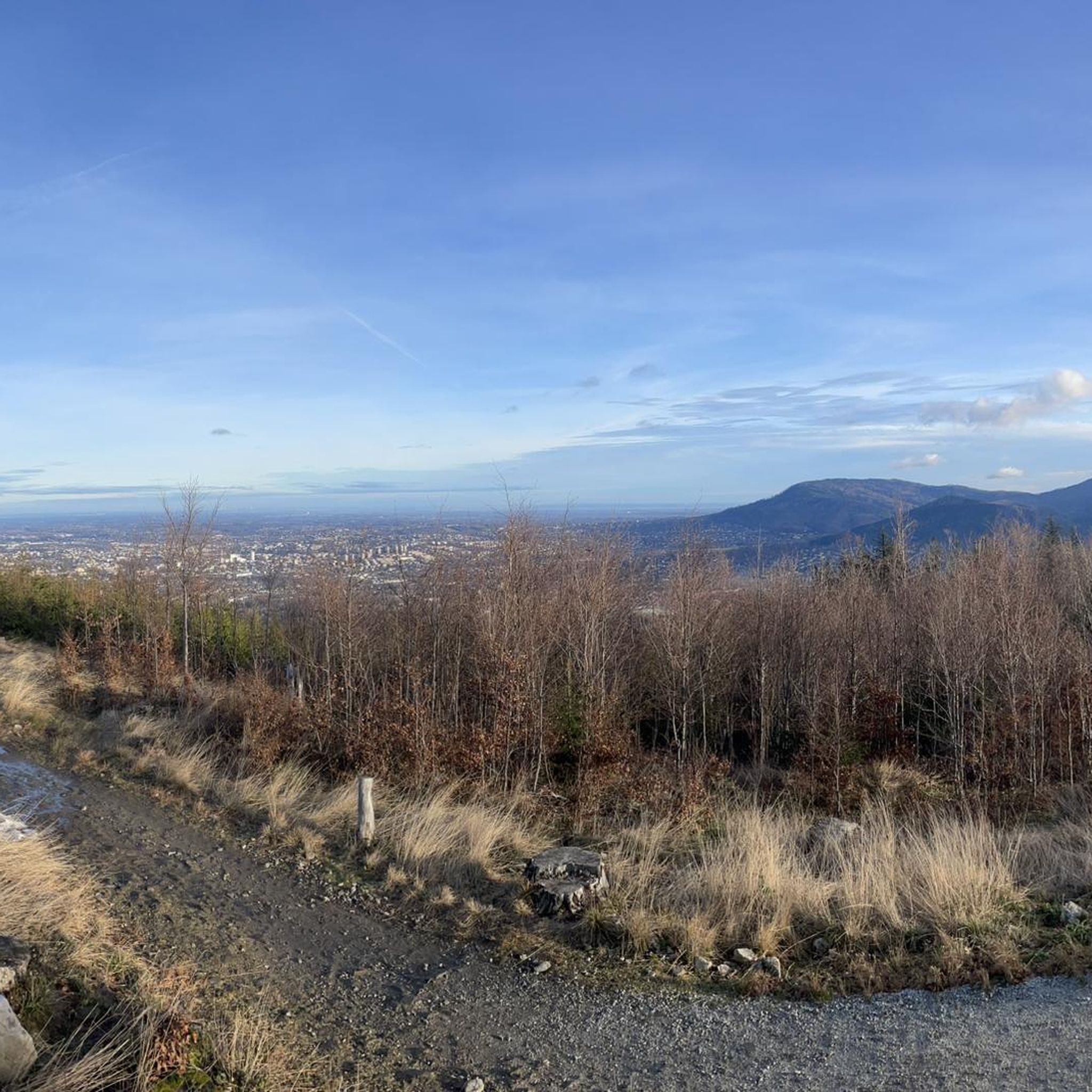
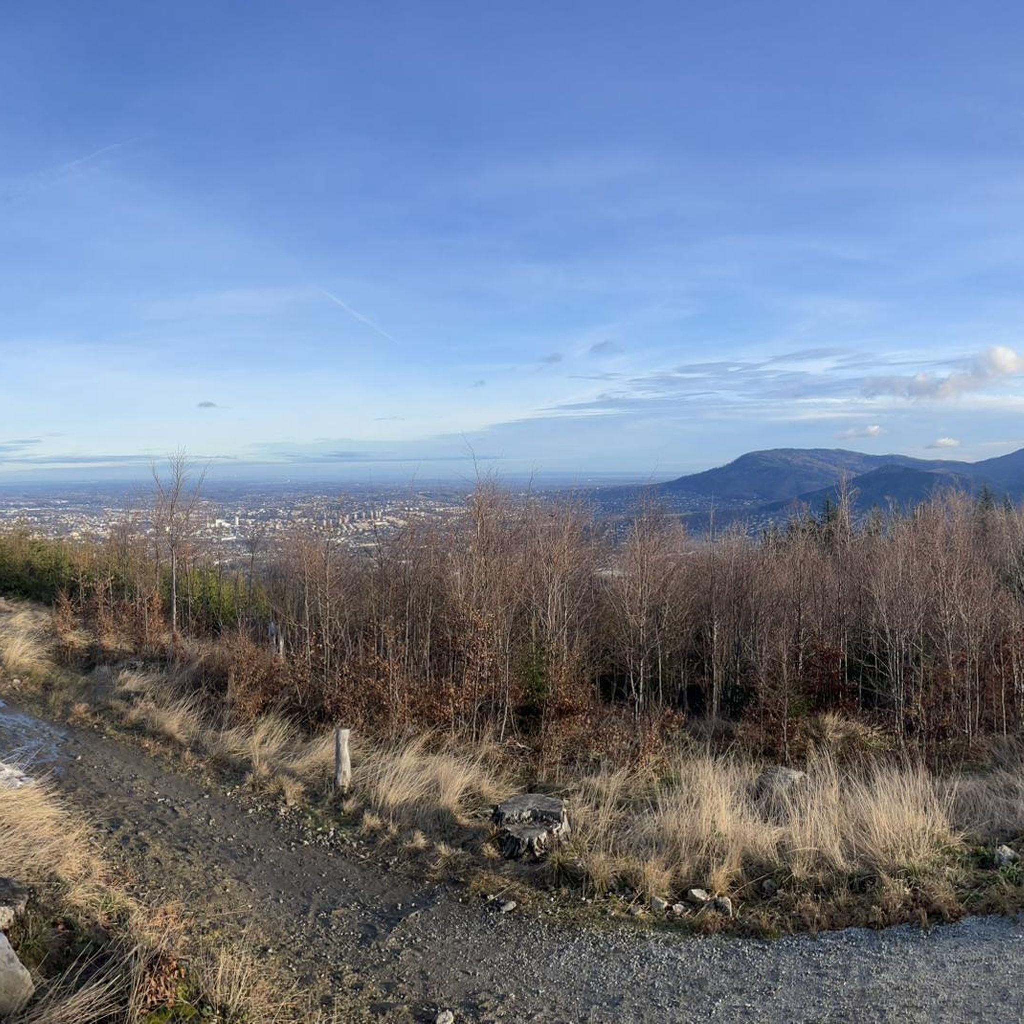
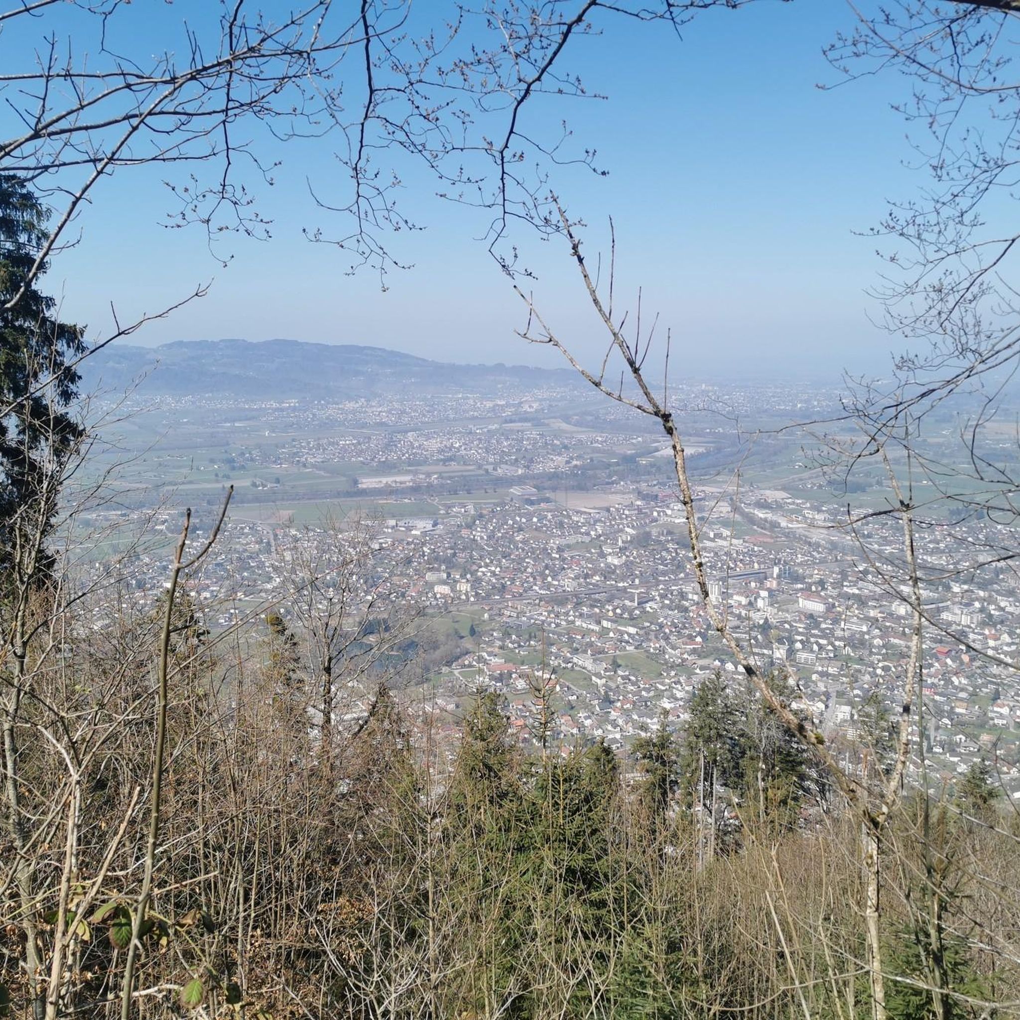
Beautiful view of the Żywiec Basin, and with good weather even of the Tatra Mountains.
0
0
Junction of trails, coming from Błatnia, a turn is possible towards Jaworze or a steep descent into the Wapienica Valley. Continuing straight ahead, we will reach the areas of Kopane and Palenica.
0
0
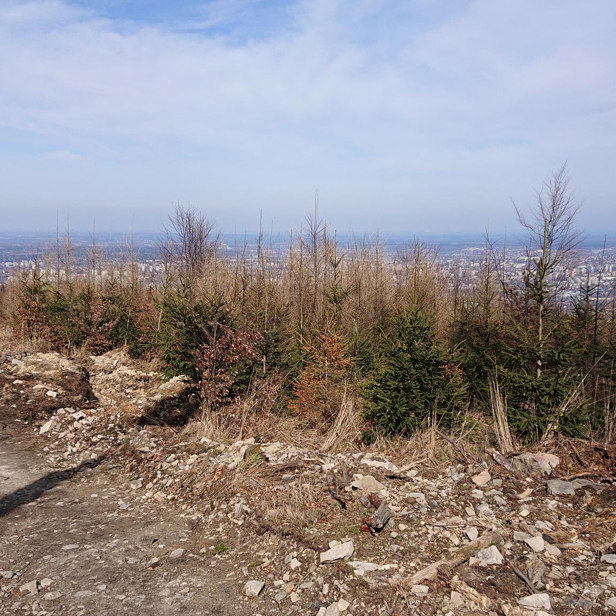
Quite a steep climb and descent on the route towards Błatnia, therefore it requires certain off-road riding skills. The views are average because there is a forest all around.
0
0
The ascent through Szyndzielnia is pleasant, with a consistently moderate, not too steep gradient, except for a few steeper sections before the summit of Szyndzielnia. Only after the shelter do you need to push the bike for a short distance, then the route becomes pleasant and wide again towards Klimczok, where, near the summit, pushing the bike might be necessary depending on your strength. At the summit, there is a large meadow, and a little lower down, the shelter. In good weather, you can see the Tatry mountains from the summit.
0
0

The "Klimczok" mountain shelter is located at an altitude of 1,034 meters above sea level. A wooden shelter called "Klementynówka" was built in 1872. In 1914, after numerous renovations, the shelter was opened to tourists. The shelter hosts "White" and "Green" schools and summer camps, which are often highlighted by the shelter's outdoor swimming pool and 7-meter-high climbing wall.
1
0

I highly recommend it
0
0
Everything is fine, I recommend it
0
0

Nice place for lunch. The Ukrainian chefs make excellent solianka and zureck.
0
0
Frequently Asked Questions
How many hiking trails are available around Bielsko-Biała?
Bielsko-Biała offers an extensive network of over 300 hiking trails. These routes cater to various skill levels, from easy walks to more challenging mountain ascents, primarily within the Silesian Beskids and Small Beskids.
What makes hiking around Bielsko-Biała unique?
Hiking around Bielsko-Biała is unique due to its direct access to the diverse landscapes of the Beskid Mountains. You'll find a mix of dense forests, prominent peaks like Szyndzielnia and Klimczok, and numerous mountain huts, all within close proximity to the city. The region offers a blend of tranquil nature and accessible amenities.
What do other hikers say about the trails in Bielsko-Biała?
The trails in Bielsko-Biała are highly regarded by the komoot community, with an average rating of 4.8 stars from over 600 reviews. More than 11,000 hikers have explored the varied terrain, often praising the well-marked paths, scenic views, and the network of mountain huts.
Are there easy hiking trails suitable for beginners or families in Bielsko-Biała?
Yes, Bielsko-Biała offers over 160 easy routes perfect for beginners or families. Lower, more accessible hills like Dębowiec and Kozia Góra provide rewarding walks with fantastic panoramic views. For a gentle introduction to the area, consider the Rain – Lodołamacz Artisan Ice Cream loop from Osiedle Aleksandrowickie, an easy 5.1 km trail.
Are there challenging hikes for experienced trekkers?
For experienced trekkers, Bielsko-Biała provides nearly 20 difficult routes. These include longer ascents to peaks like Pilsko and Skrzyczne. A notable challenging option is the PTTK mountain hut on Błatnia – Szyndzielnia PTTK Mountain Hut loop from Wapienica, a 19.2 km trail connecting two significant mountain huts.
Can I find trails with mountain huts for rest and refreshments?
Absolutely. The Beskid Mountains around Bielsko-Biała are dotted with PTTK mountain huts, which serve as excellent resting points, offering food and sometimes accommodation. Popular huts can be found on Szyndzielnia, Klimczok, and Błatnia, often integrated into popular hiking routes.
What natural attractions or landmarks can I see while hiking near Bielsko-Biała?
While hiking, you can encounter several natural attractions and landmarks. Notable summits include Klimczok (1117 m) and Czupel Peak (933 m). You might also come across geological features like Malinowska Rock or man-made structures like the Porąbka Dam.
Are there trails that offer panoramic viewpoints?
Many trails in the Bielsko-Biała region lead to stunning panoramic viewpoints. Peaks like Szyndzielnia, Klimczok, Dębowiec, Skrzyczne, and Błatnia are renowned for their wide-ranging vistas. On clear days, views from Szyndzielnia's observation tower can extend to the Tatras and Babia Góra.
Are there circular hiking routes available?
Yes, many of the hiking routes around Bielsko-Biała are designed as loops, allowing you to start and end at the same point. An example is the Szyndzielnia PTTK Mountain Hut – Klimczok Peak loop from Gospoda Dębowiec, which offers scenic views as it links two prominent peaks.
Can I reach hiking trails using public transport?
Bielsko-Biała serves as an excellent base for accessing the Beskid Mountains, and many trailheads are reachable via local public transport. The city's bus network often connects to the lower parts of the mountains, allowing hikers to start their journeys without a car.
What is the best time of year for hiking in Bielsko-Biała?
The best time for hiking in Bielsko-Biała is generally from spring through autumn (April to October), when the weather is mild and trails are clear. Summer offers lush greenery, while autumn brings vibrant foliage. Winter hiking is also possible, especially on lower trails, but requires appropriate gear and awareness of conditions.
Are there any trails suitable for dog owners?
Many trails in the Beskid Mountains are dog-friendly, allowing you to enjoy the outdoors with your canine companion. It's always advisable to keep dogs on a leash, especially in nature reserves or near wildlife, and to check specific trail regulations before heading out.
Are there any trails that lead to the Szyndzielnia peak?
Szyndzielnia (1028 m) is a very popular peak accessible by various well-marked hiking trails, or via a gondola lift. A great option is the Szyndzielnia PTTK Mountain Hut – Szyndzielnia loop from Gospoda Dębowiec, a 12.0 km trail leading through forest paths to the summit.
Most popular routes around Bielsko-Biała
Most popular attractions around Bielsko-Biała

Get inspired with the komoot mobile app


